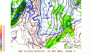
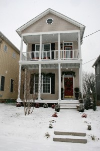
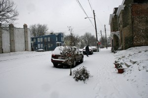
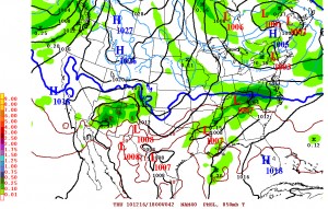
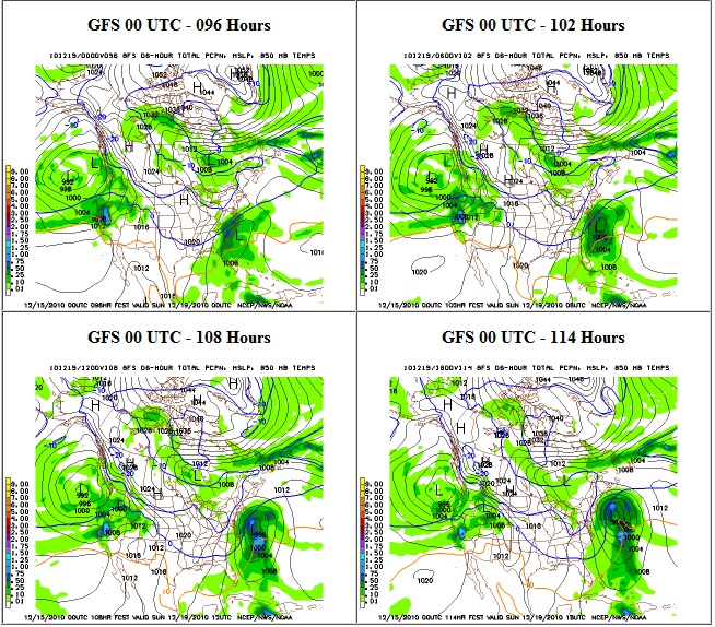
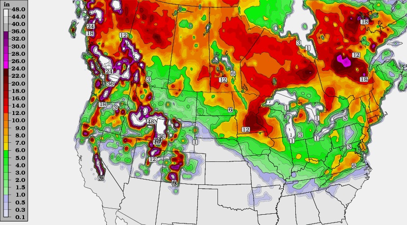
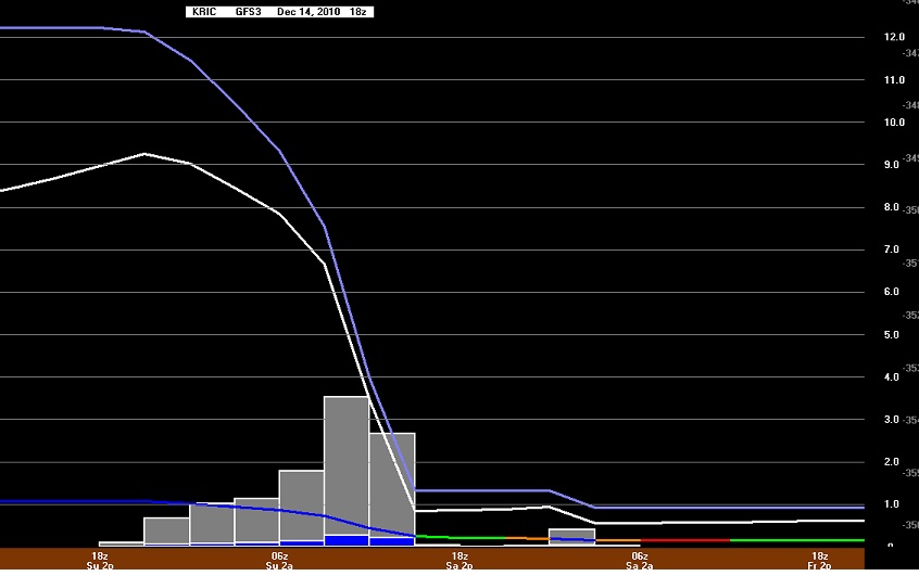
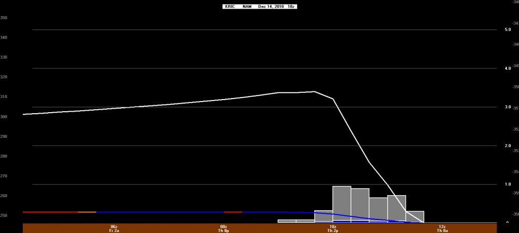
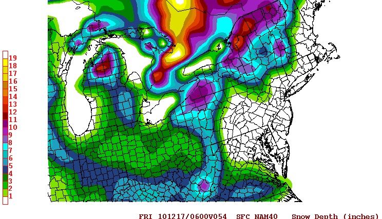
What a roller coaster ride this storm event has been! Only 24 hours ago, most of the local meteorologists were calling for a dusting to an inch of snowfall today. The weather models were consistently pushing the system out to sea with little impact on the commonwealth. Late last night, the models took a dramatic shift by pulling the storm back to the coast, supporting the position of the Euro model only two days ago. This looks like a potentially record setting snow storm for the east coast. As of 10:30 AM, the NWS forecast for Richmond is:
Christmas Day: A chance of snow. Cloudy, with a high near 37. Calm wind. Chance of precipitation is 40%. Little or no snow accumulation expected.
Tonight: Snow likely. Cloudy, with a low around 27. Calm wind becoming north around 5 mph. Chance of precipitation is 70%. New snow accumulation of 1 to 3 inches possible.
Sunday: Snow. High near 32. North wind between 8 and 15 mph. Chance of precipitation is 90%. New snow accumulation of 1 to 3 inches possible.
Sunday Night: A chance of snow, mainly before midnight. Cloudy, with a low around 23. North wind around 17 mph. Chance of precipitation is 50%.
That’s about 2-6″. Other professional meteorologists have us pegged for 6-12″. There has even been mention of 9-15″ in Metro Richmond. Observations will begin this afternoon with photos and videos going up this evening and into tomorrow.
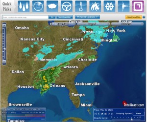
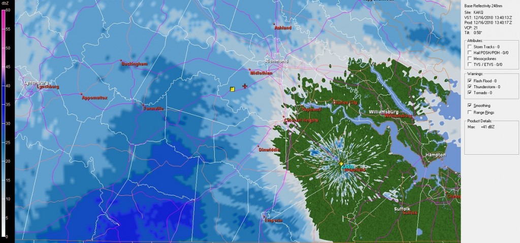
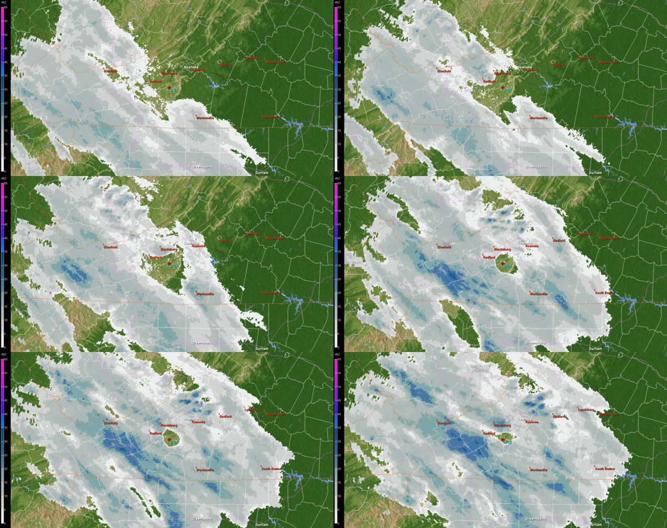
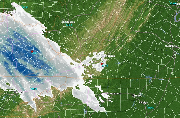
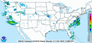
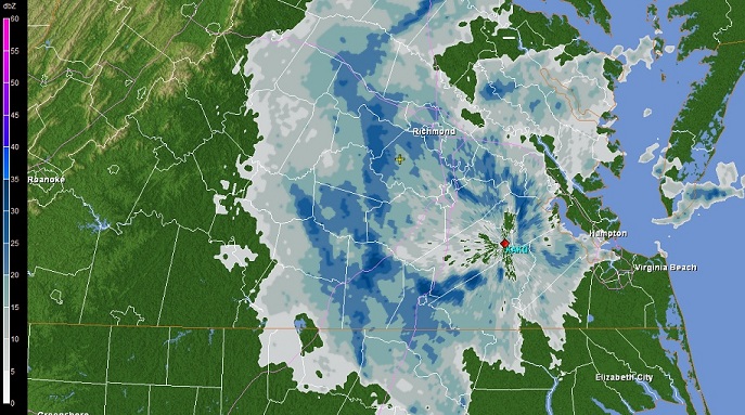
The current radar:
