Church Hill Storm Observation Summary:
* Place – Time: Church Hill, (1/14/2015)
* Temperature: 27-28, During Event
* Winter Weather Watch/Warning/Advisory: Advisory, which was issued towards end of the event
* Closings: All local school districts closed, Chesterfield County Government had a delayed opening for 10:30 AM. Government closed for the day at 10:00 AM.
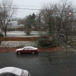
* Predicted Totals: Very light accumulation of freezing rain and sleet.
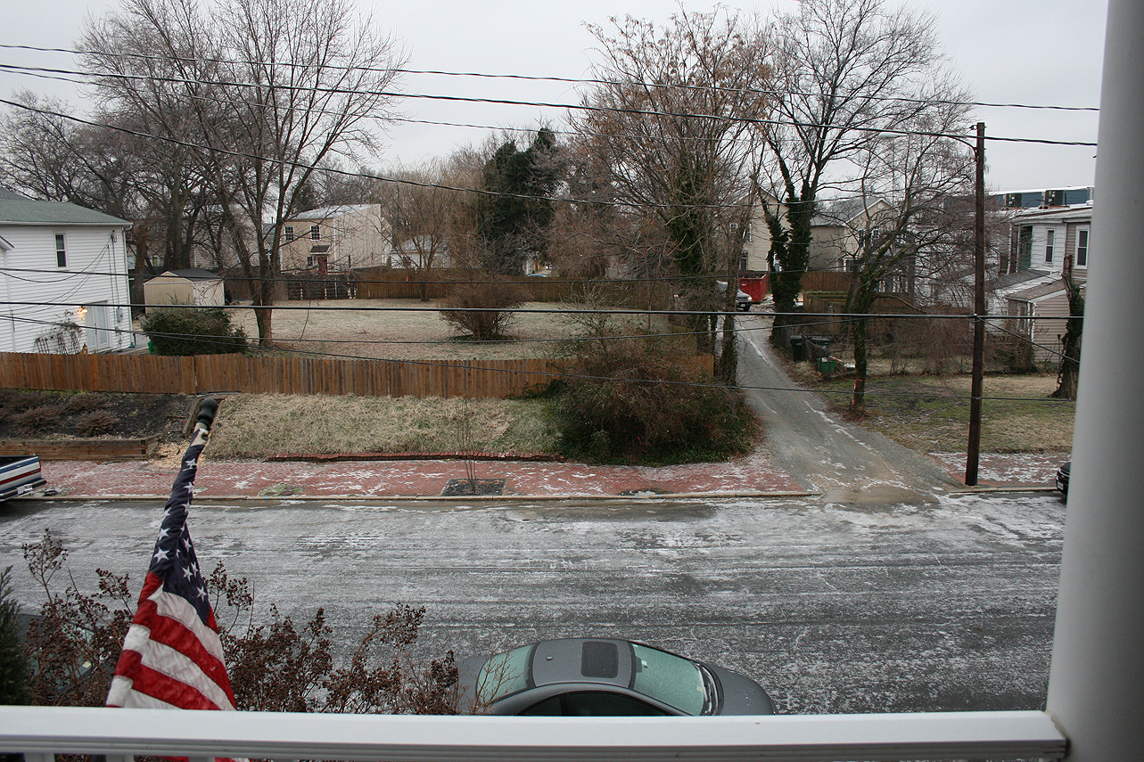
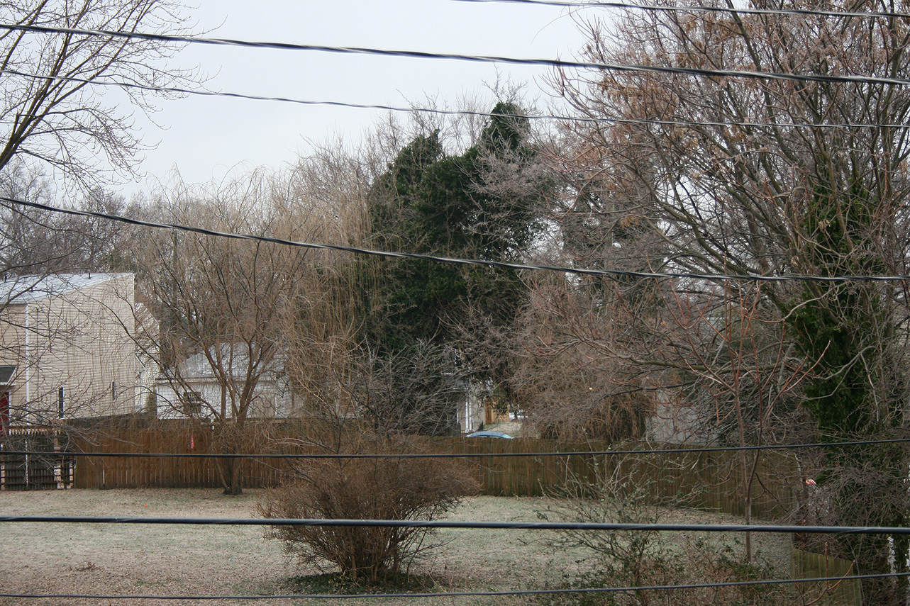
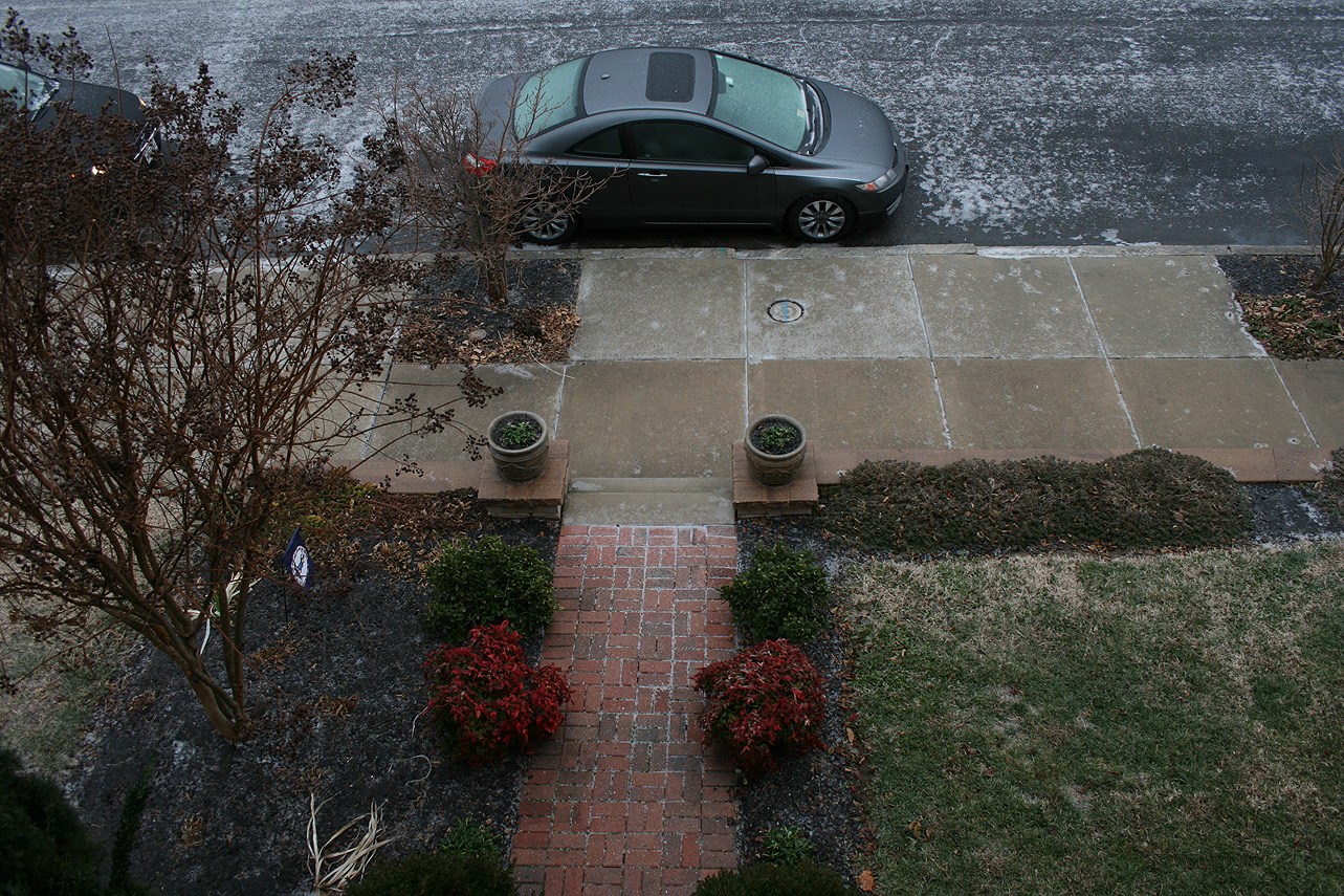
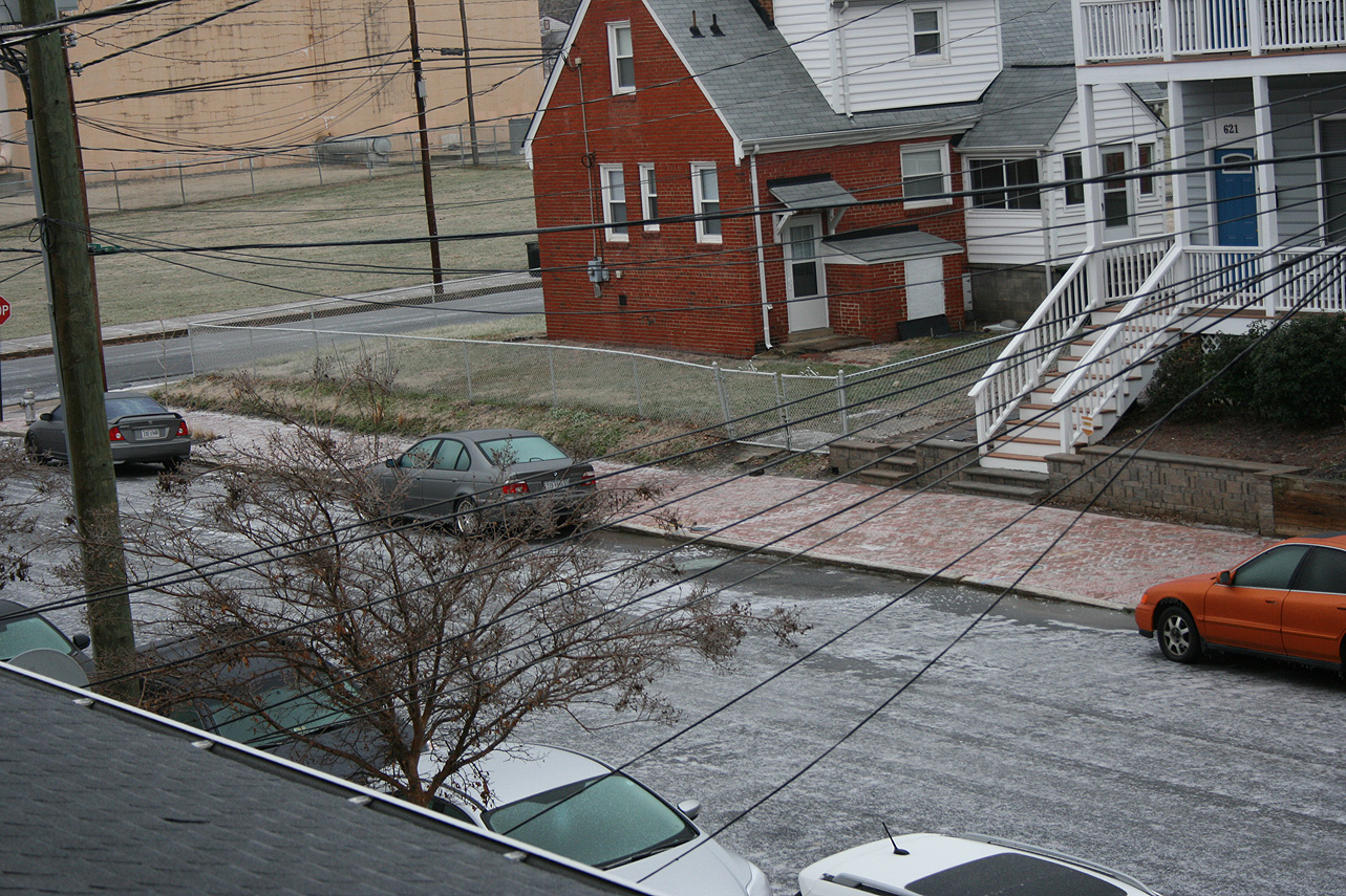
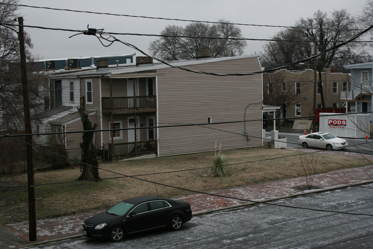
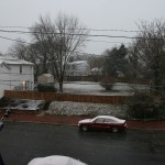
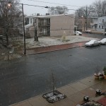
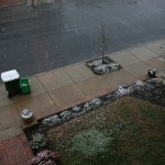
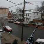
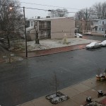
* Road Conditions: All roads had varying amounts of ice and sleet that accumulated on them. Local streets were very poor most of the day.
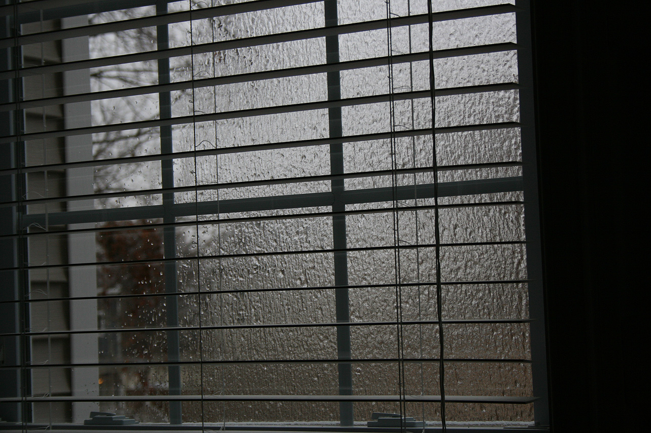
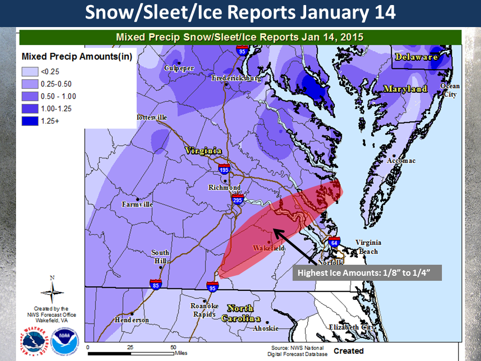
* Precipitation Description: A mix of freezing drizzle, freezing rain and brief periods of sleet from 12 AM to 6 AM.
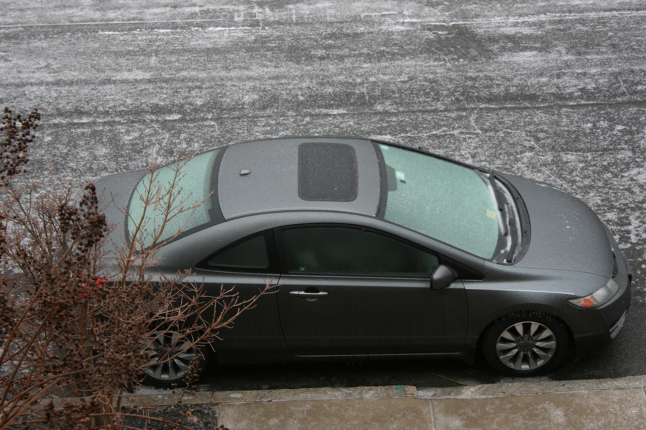
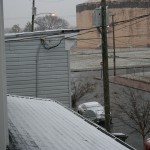
* Total Precipitation: Approximately 0.14″ of sleet and ice accumulation. Sleet and freezing rain accumulated on all surfaces. 0.21″ of liquid equivalent was reported at the Richmond airport. It took an extensive amount of time to melt the ice from my car.
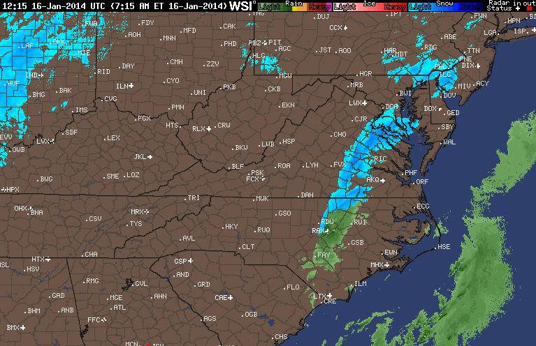
* Comments: A low developed off the Florida coast and quickly bypassed the area off the Carolina coast. A fresh wave of cold air provided more than adequate temperatures to support sleet and freezing rain at the surface. Periods of sleet and freezing rain occurred during the early morning hours, before tapering off by sunrise. Impacts from snow and ice to the Richmond area were moderate from this storm.
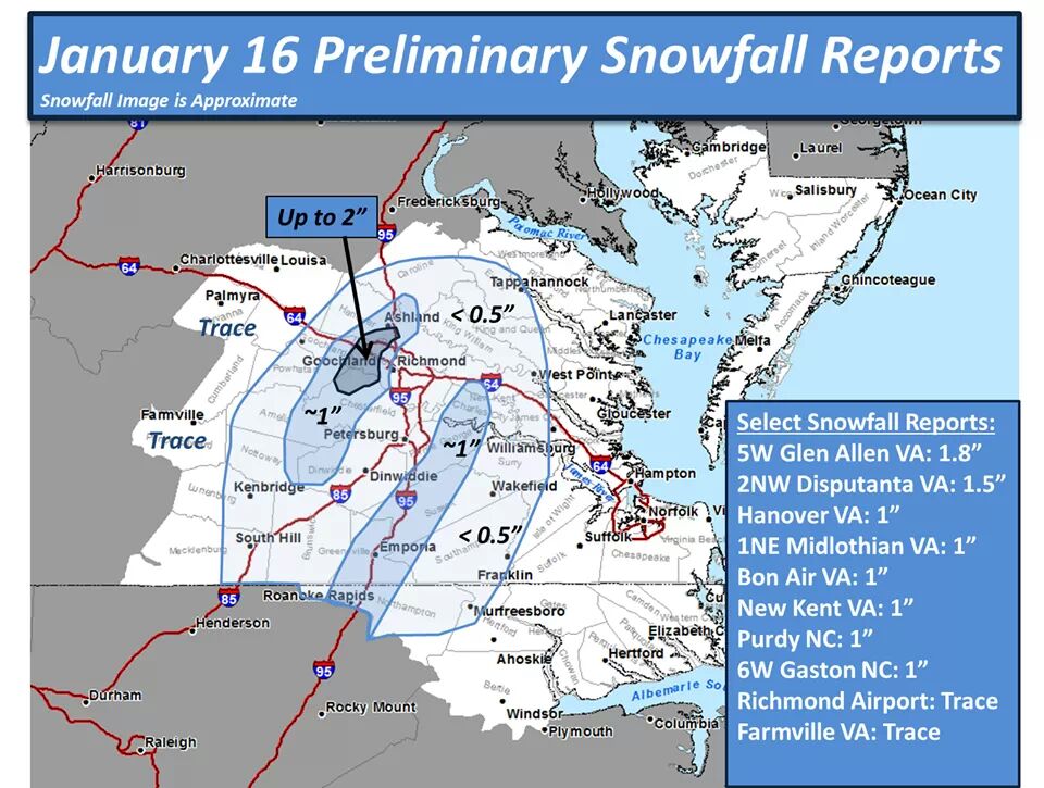
Snowfall Totals:
Photos: