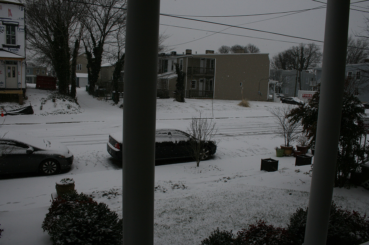
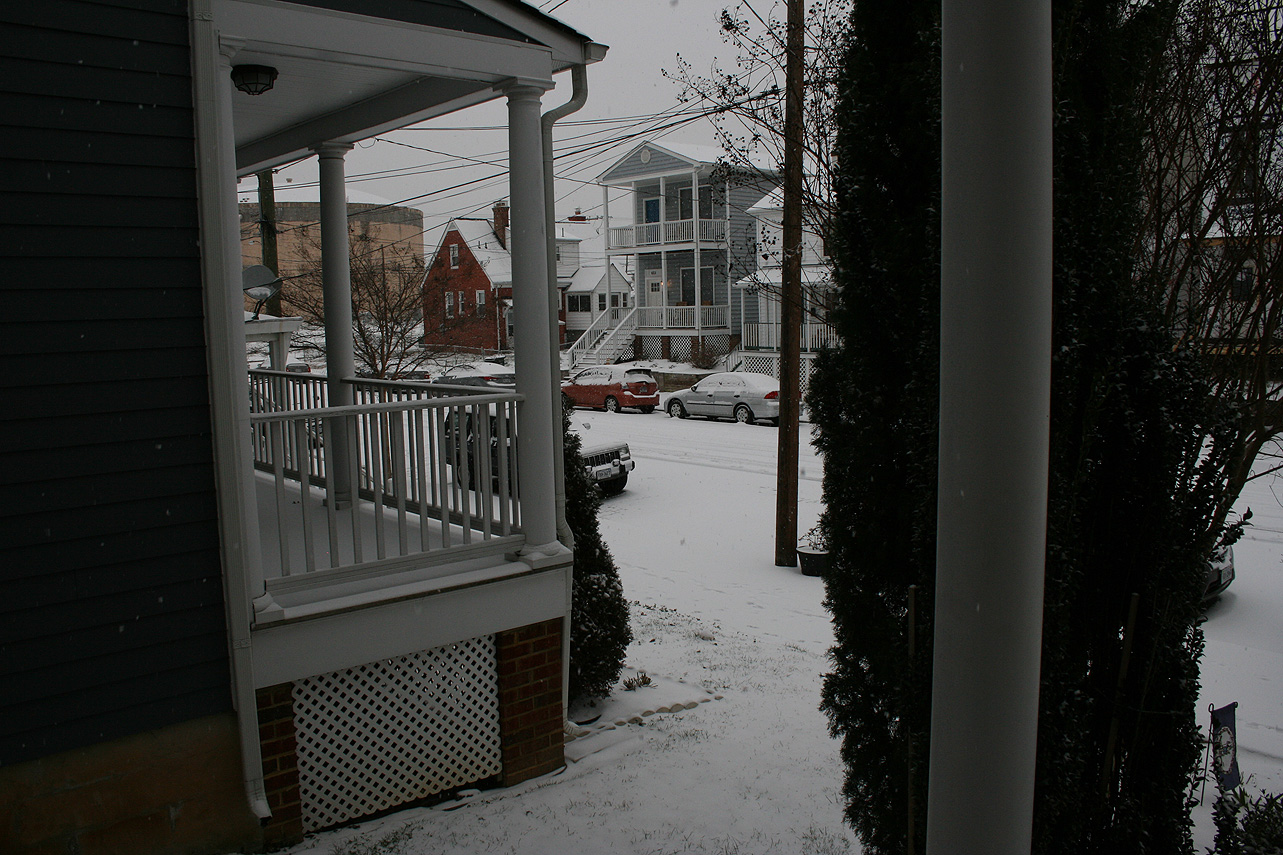
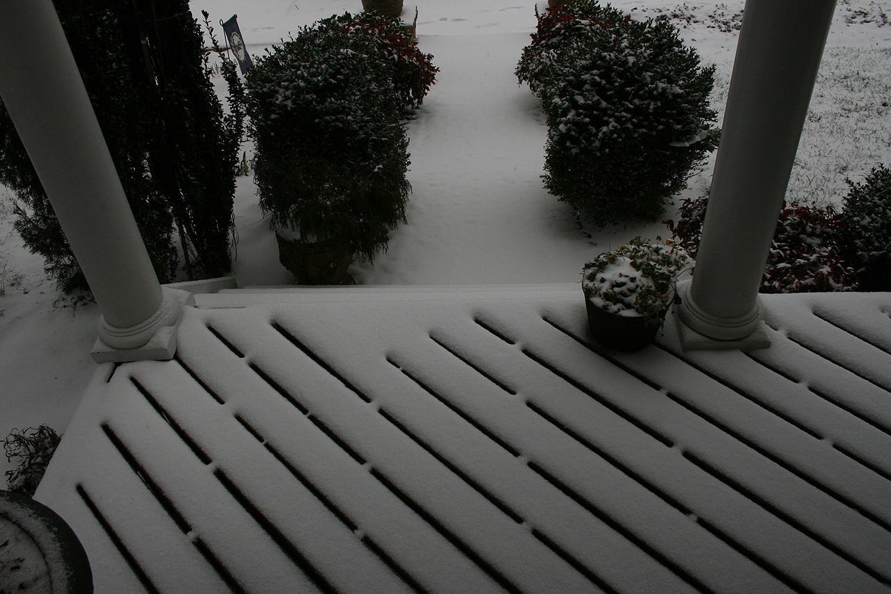
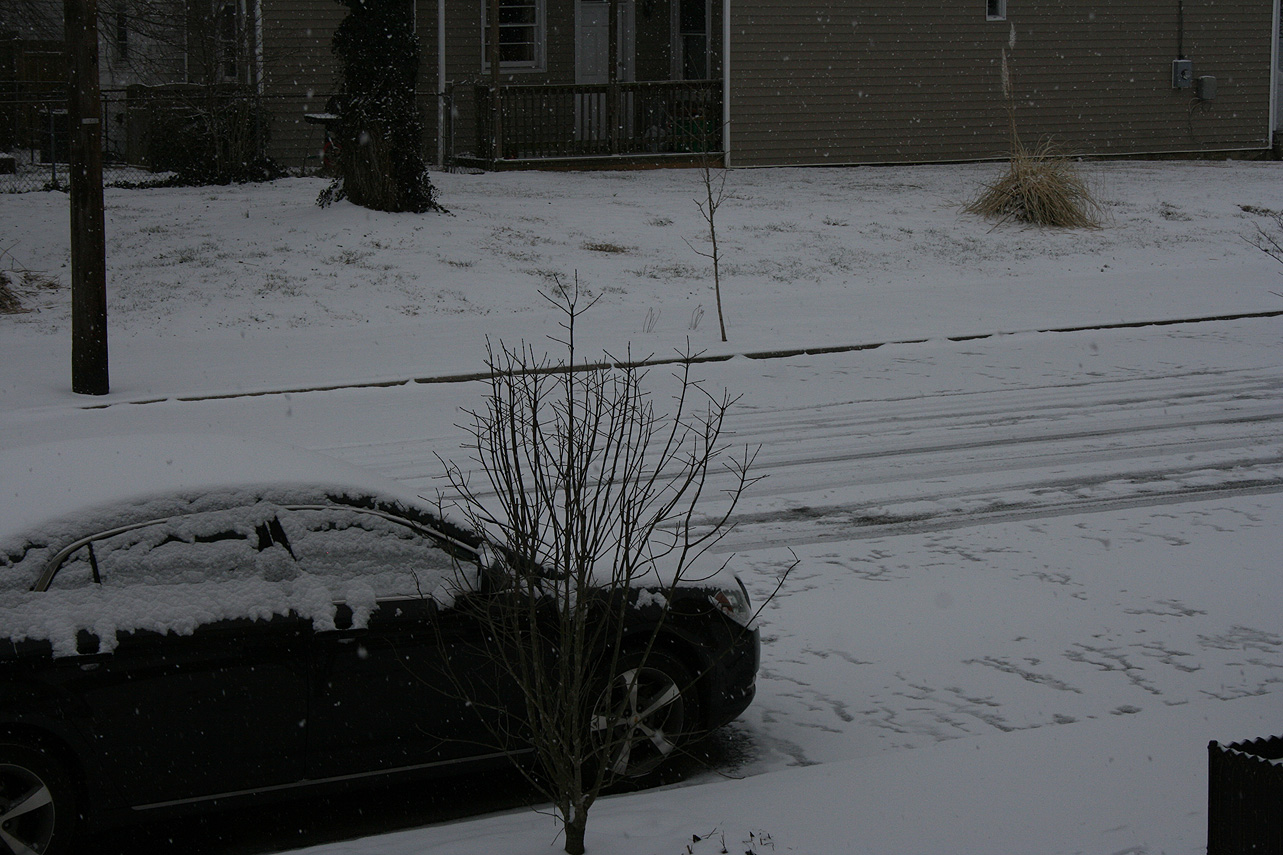
Franconia Farm Storm Observation Summary:
* Place – Time: Franconia Road, (12/9/2018)
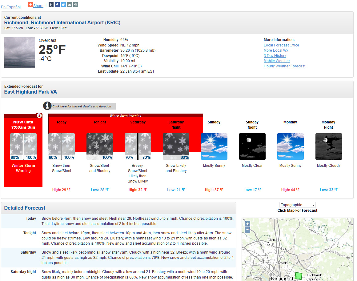
* Temperature: 30-32, During Event
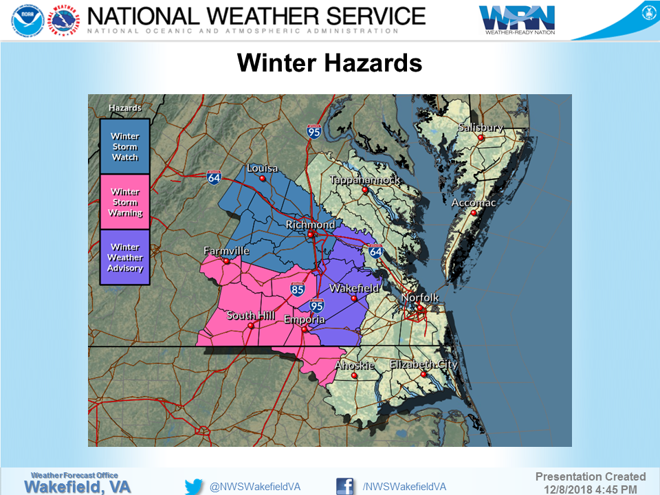
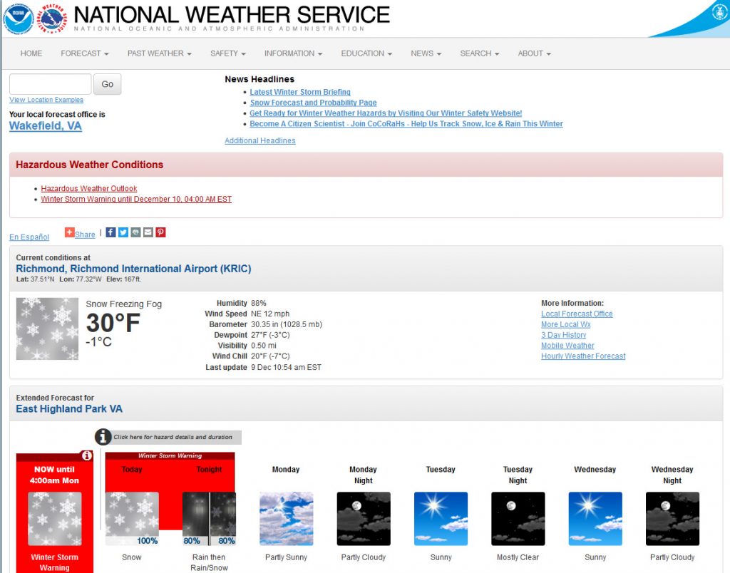
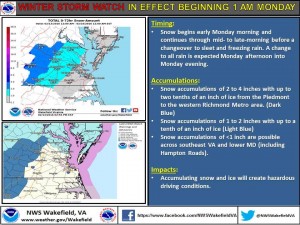
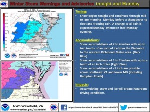
* Winter Weather Watch/Warning/Advisory: Watch & Warning
* Closings: All local school districts were closed on 12/9, Chesterfield County Government was closed on 12/9.
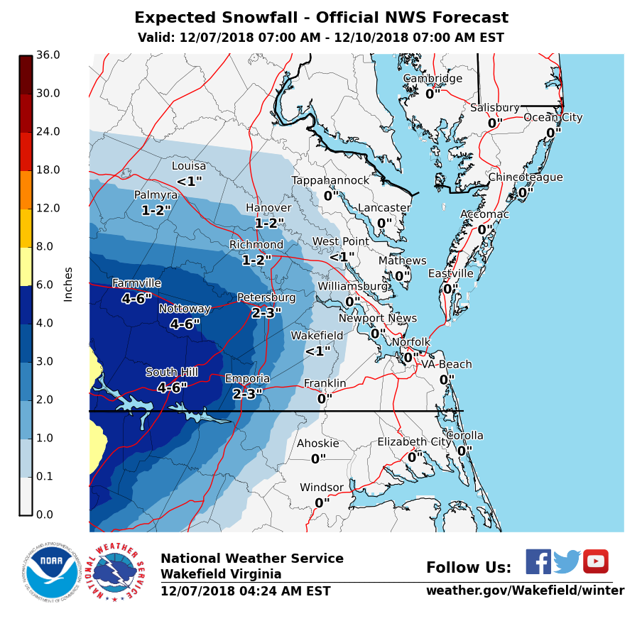
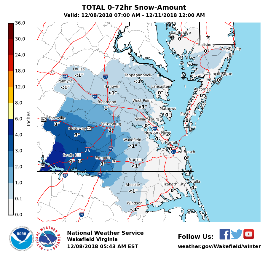
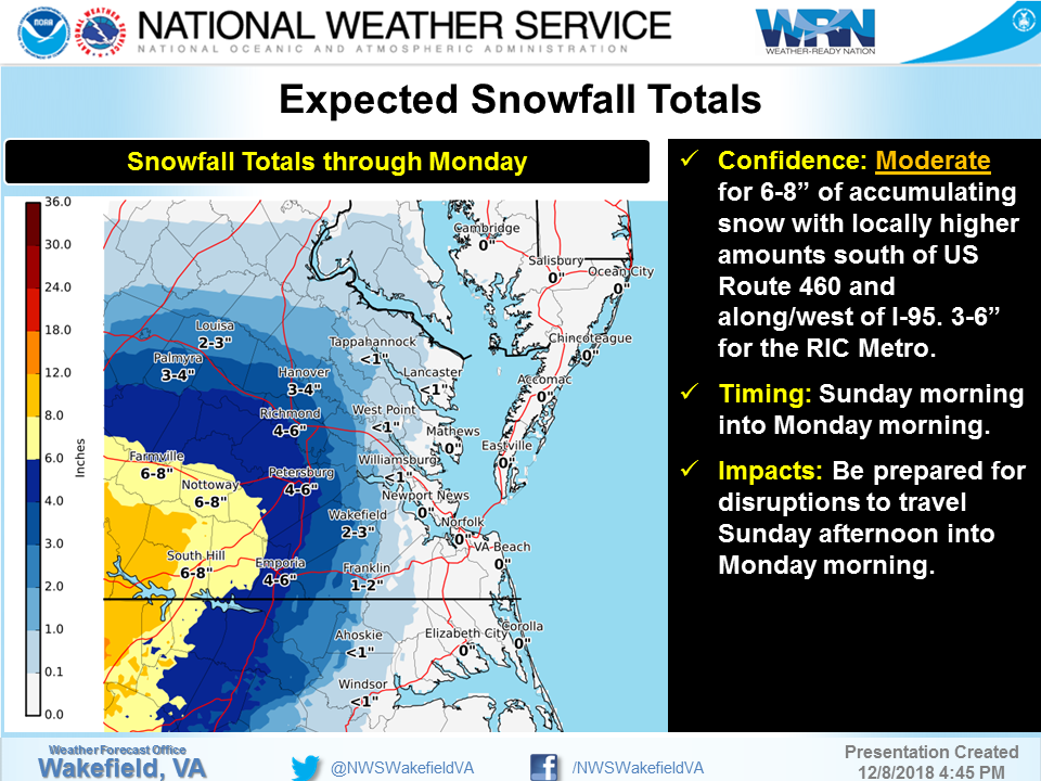
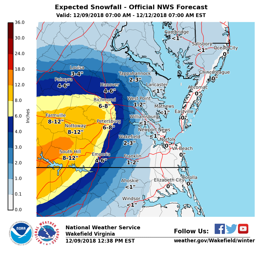
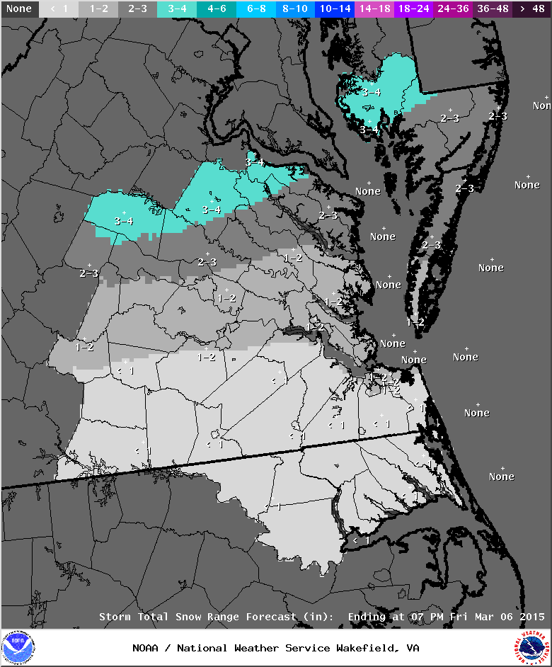
* Predicted Totals: 1-4″ the day before the storm. Between 6-12″ the morning of the storm.
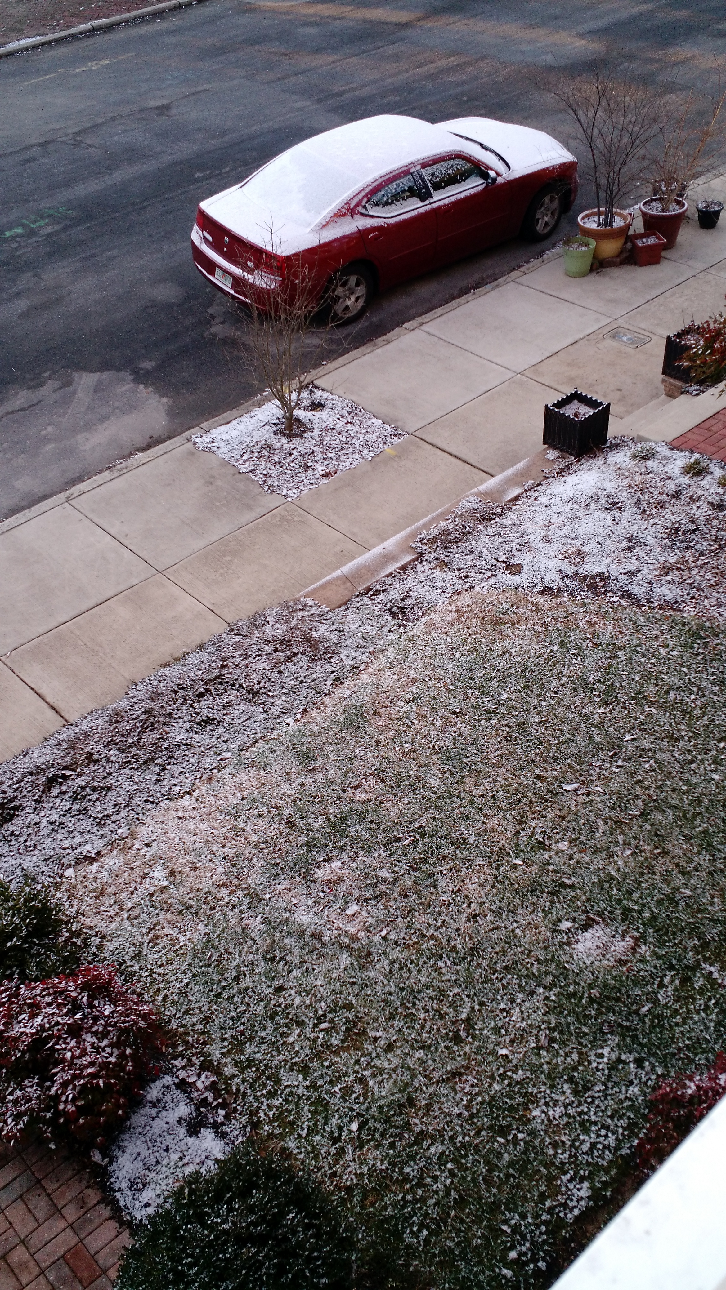
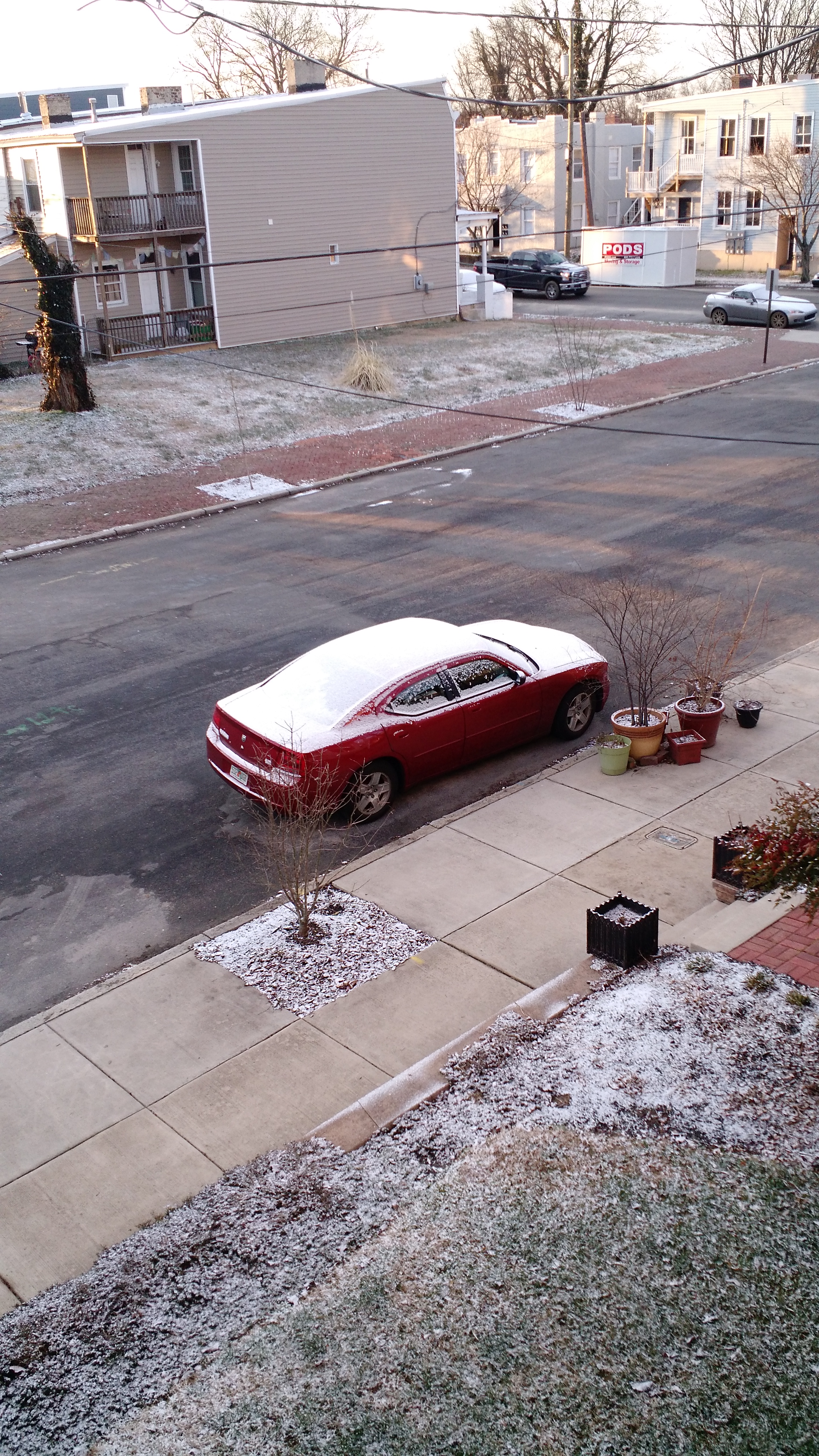
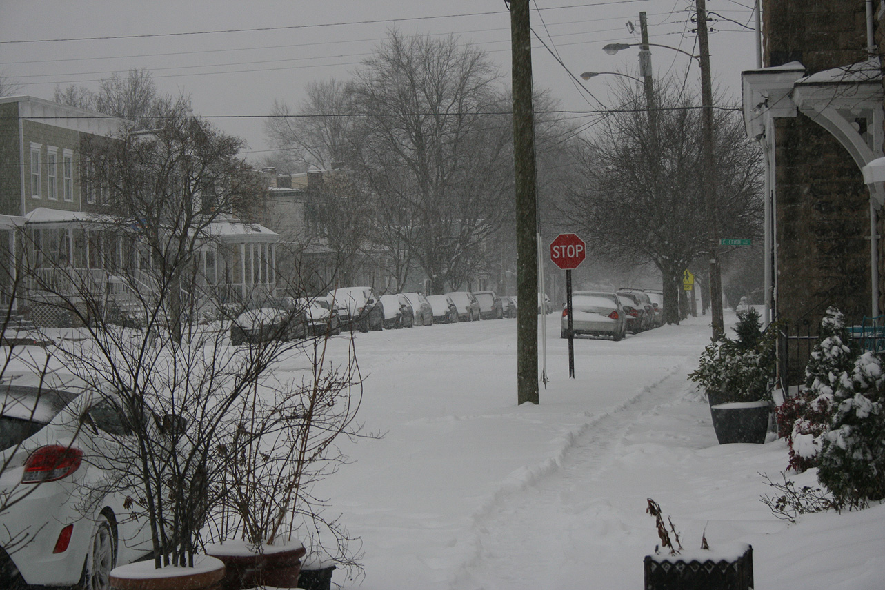
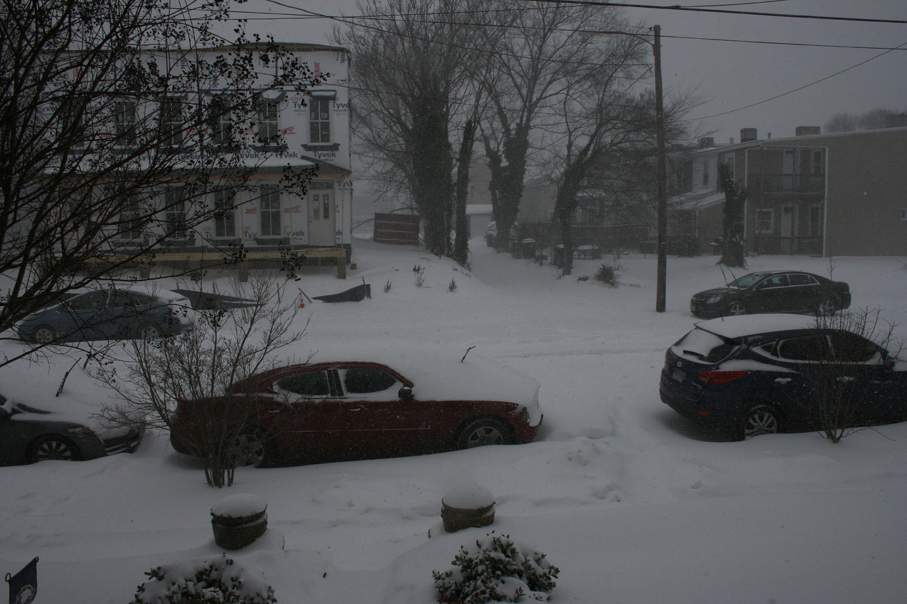
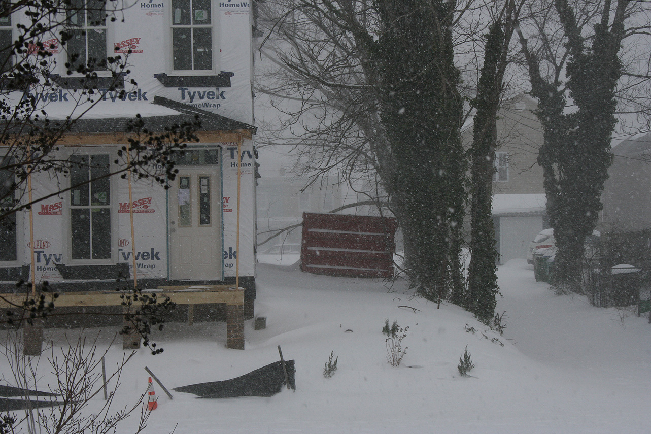
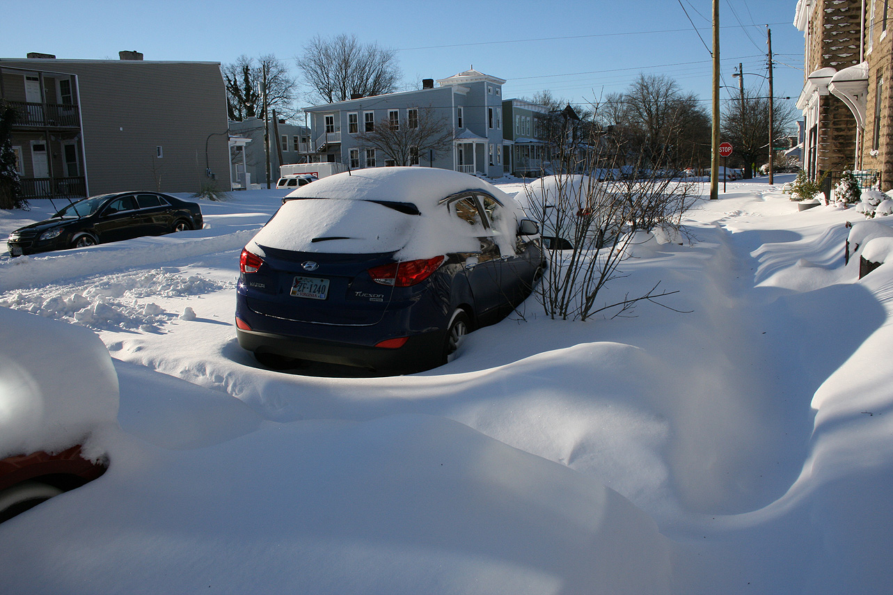
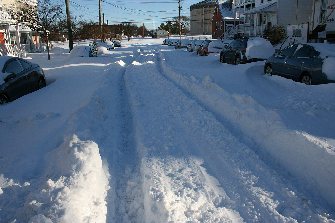
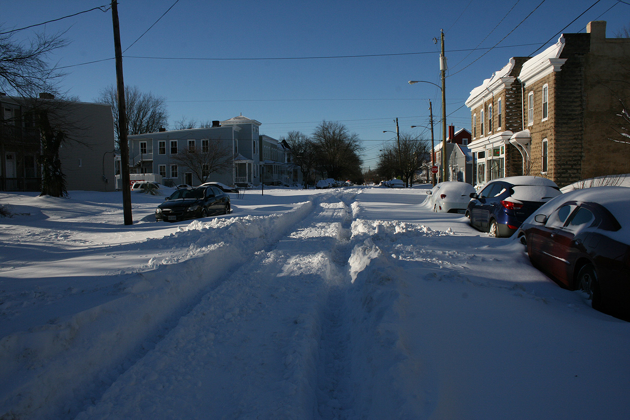
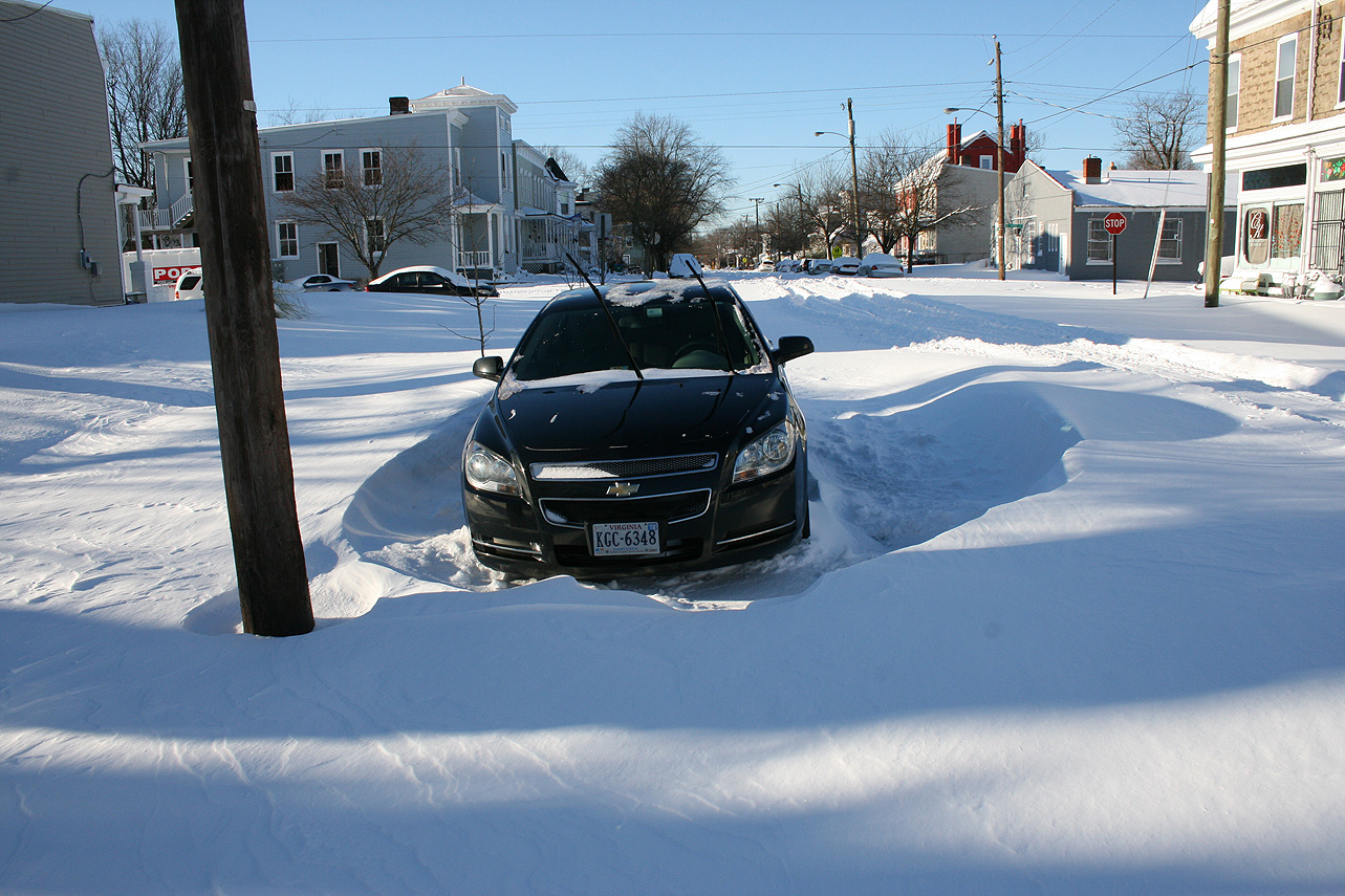
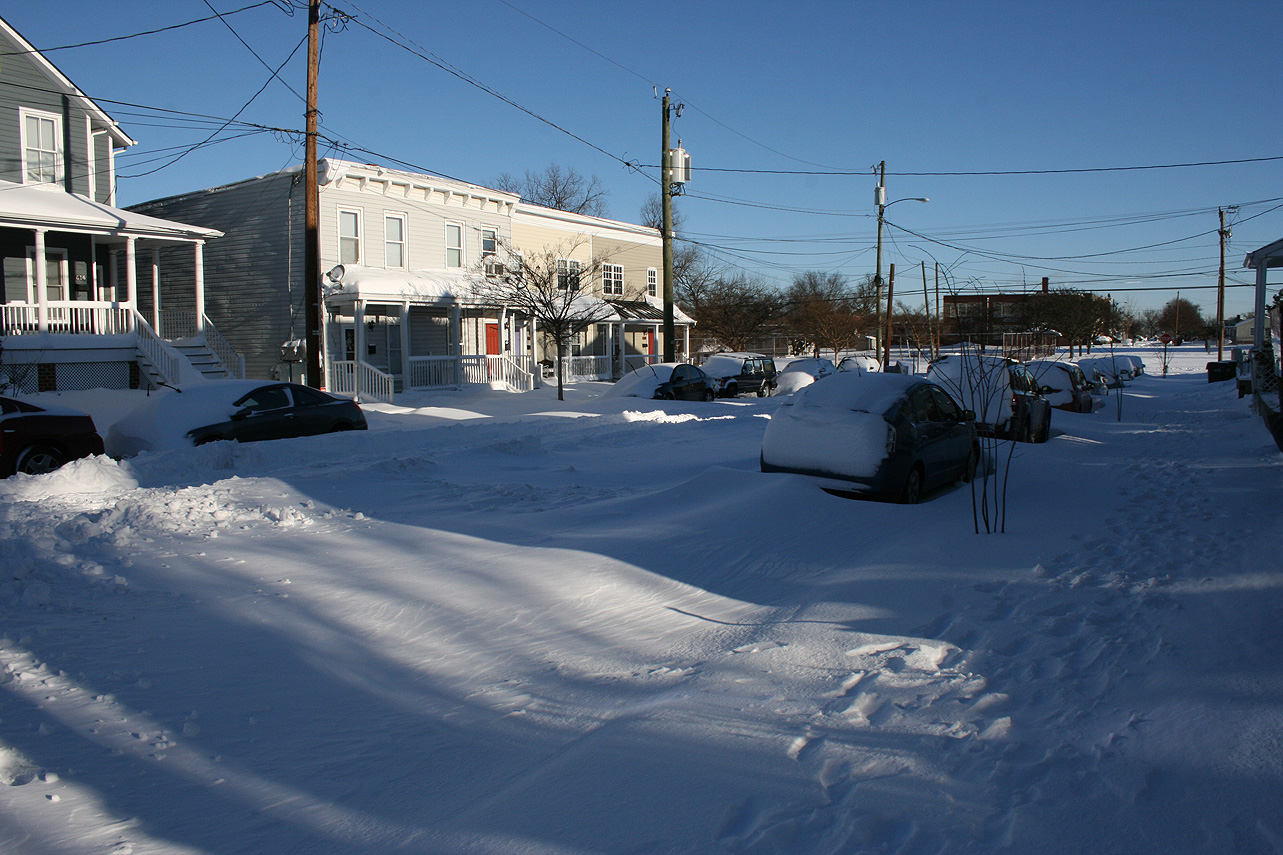
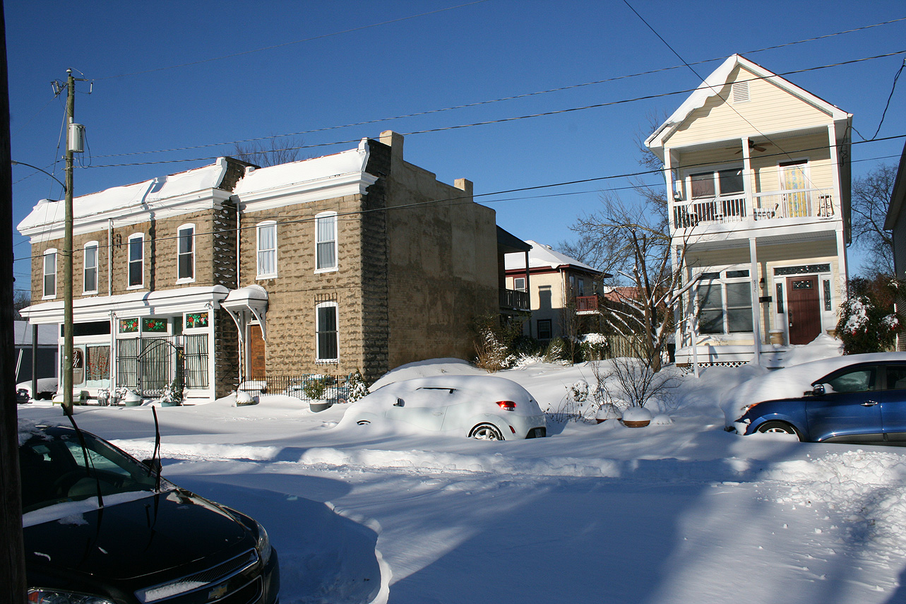
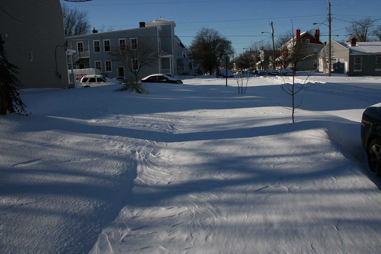
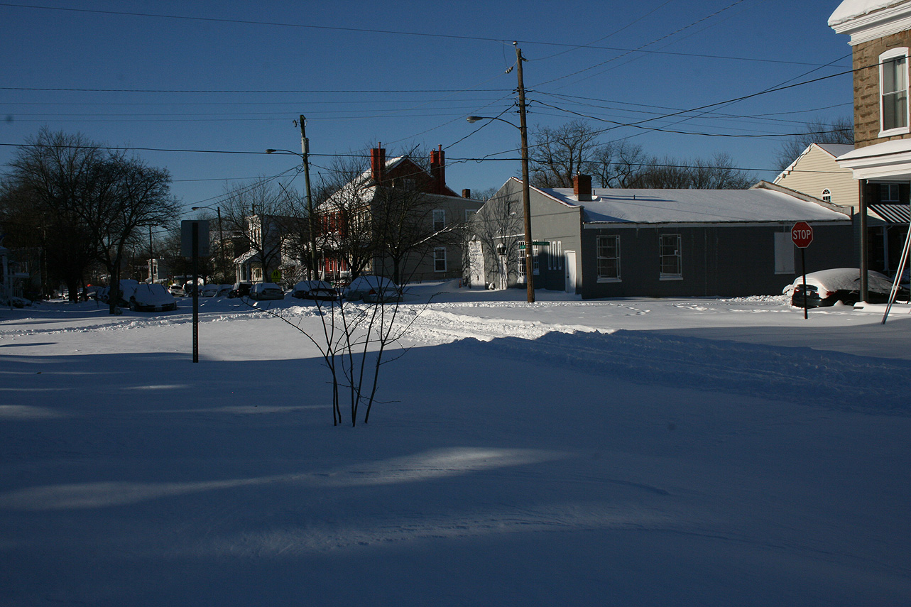
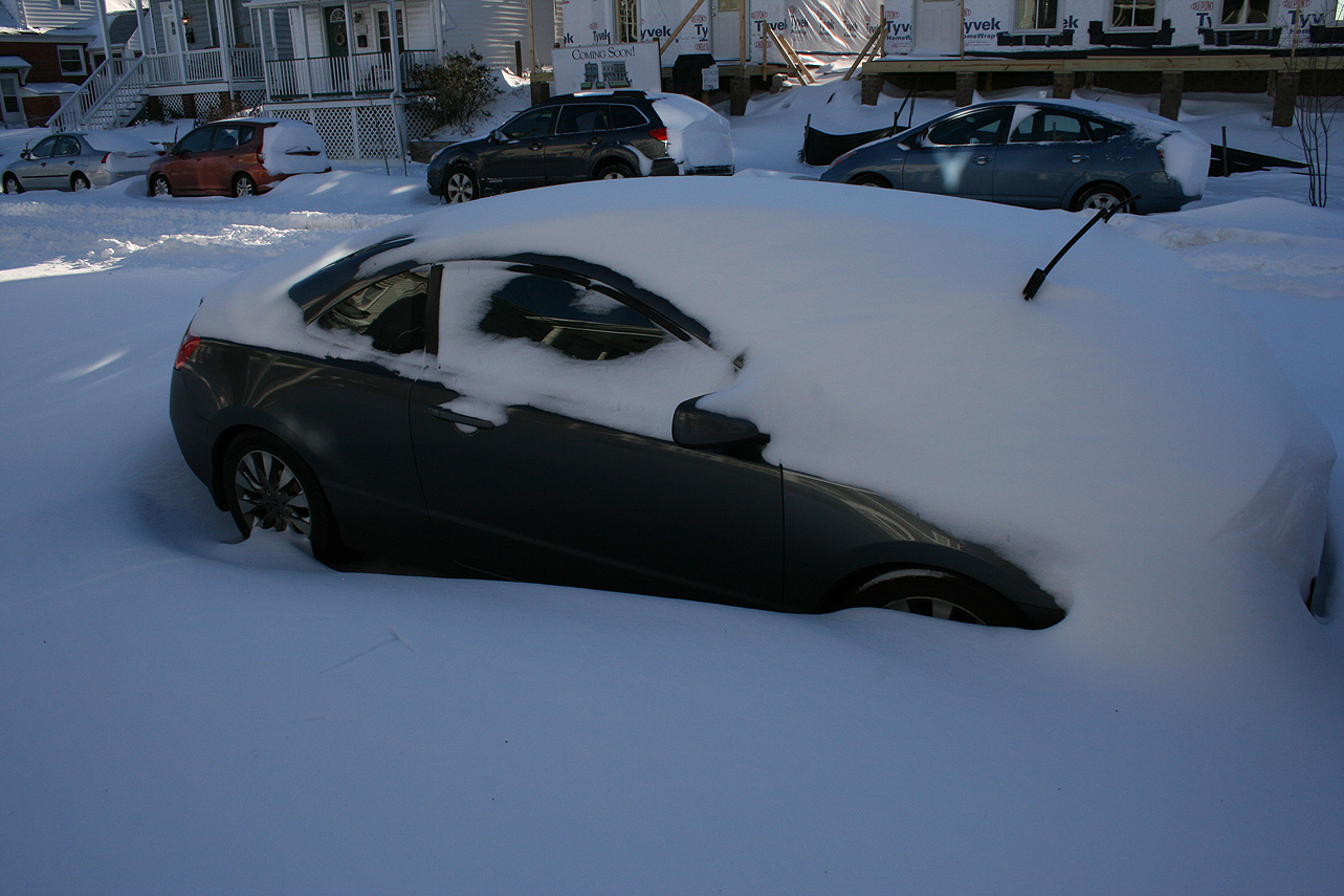
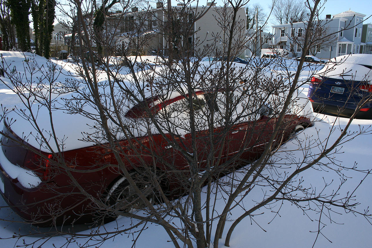
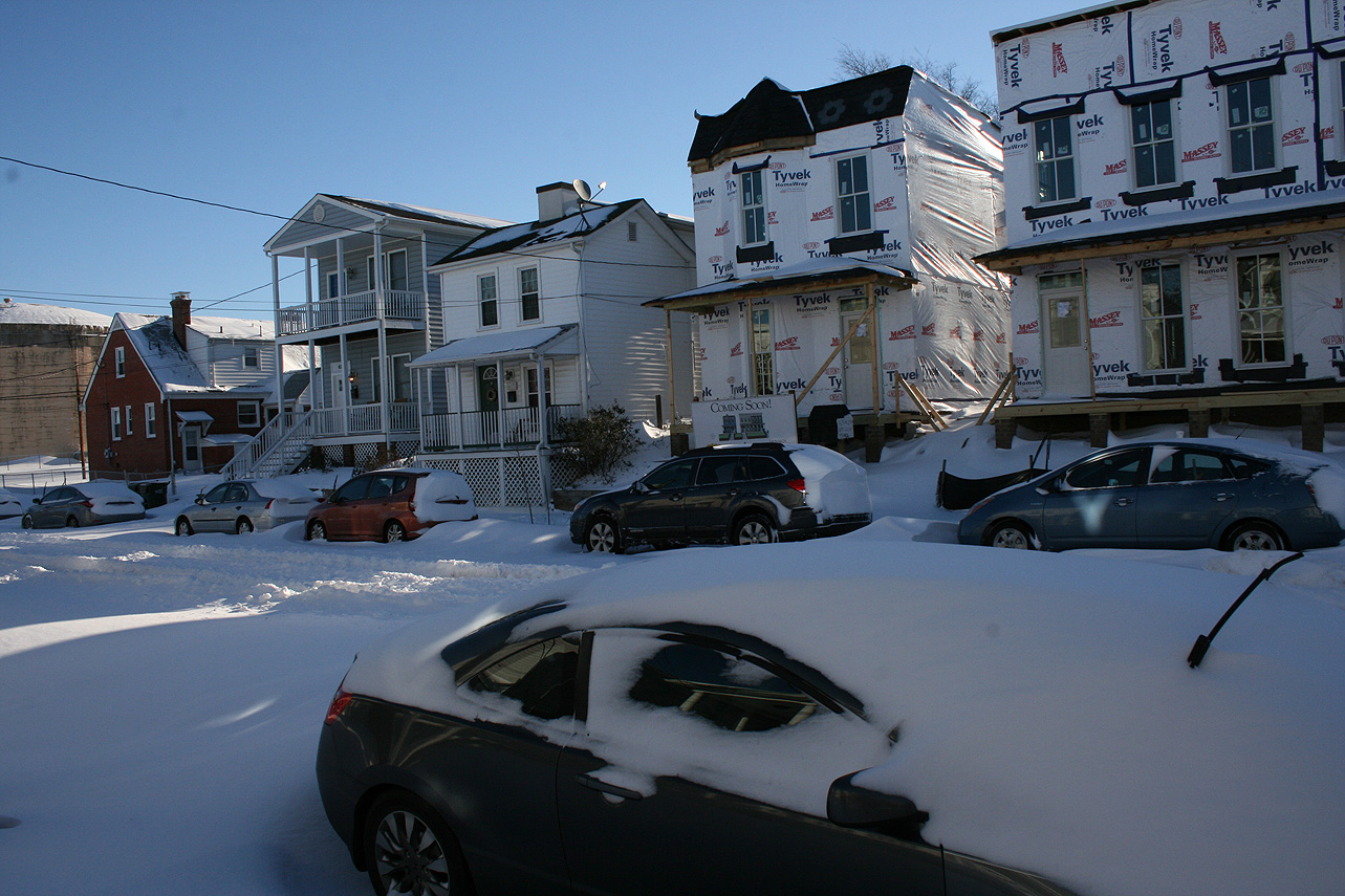
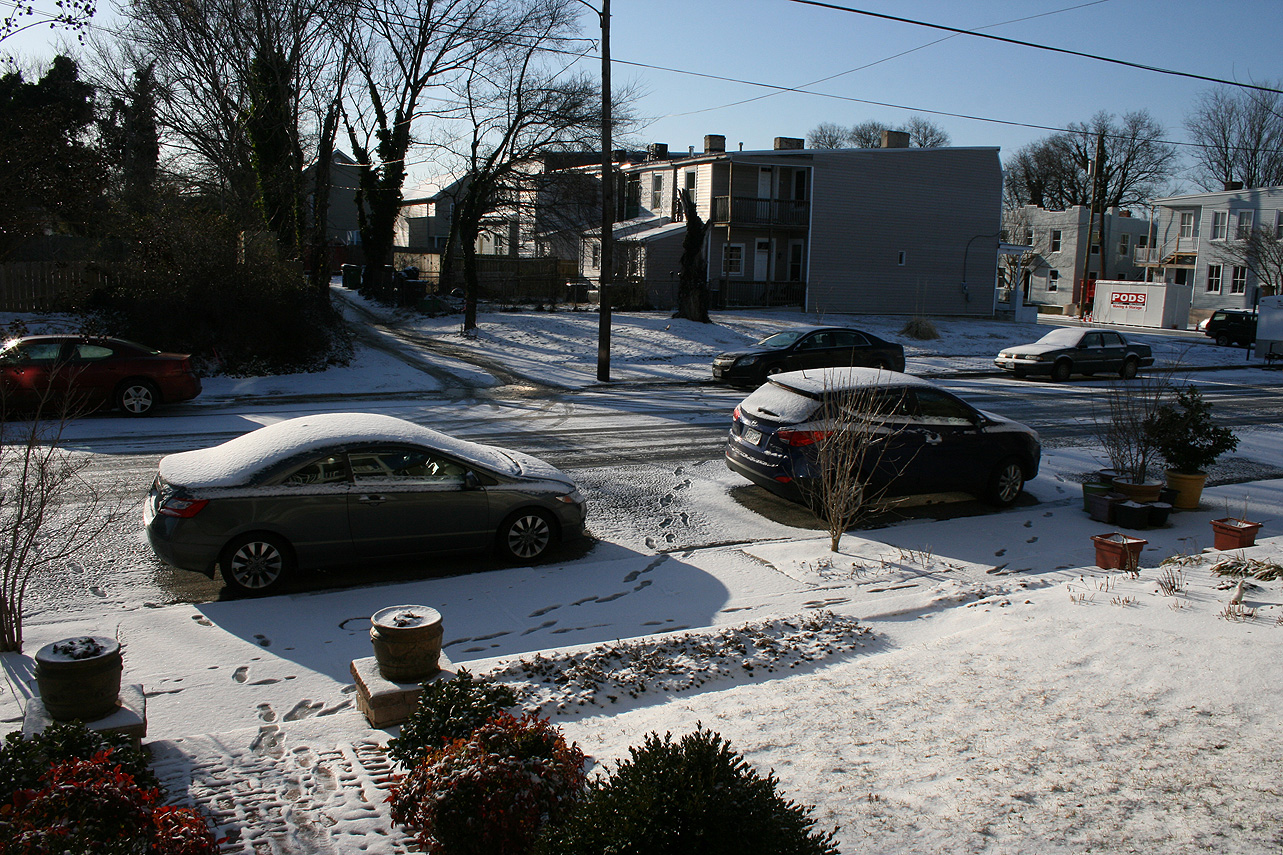
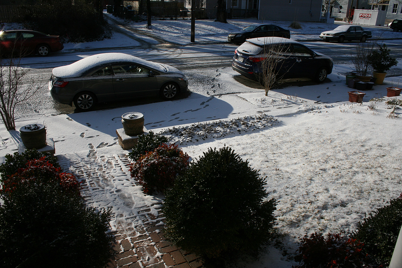
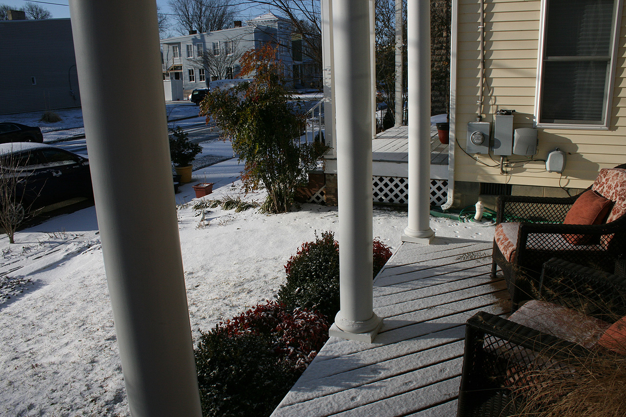
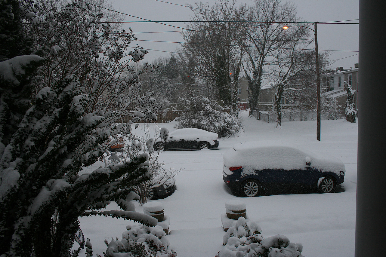
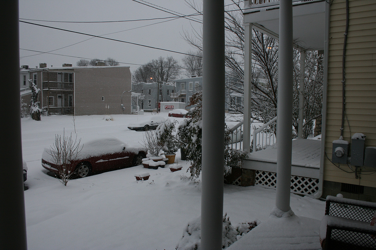
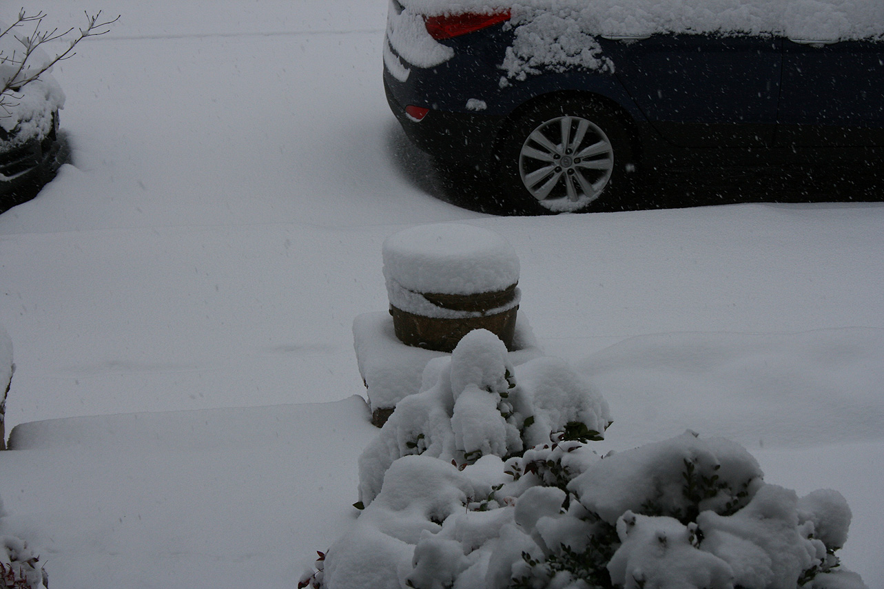
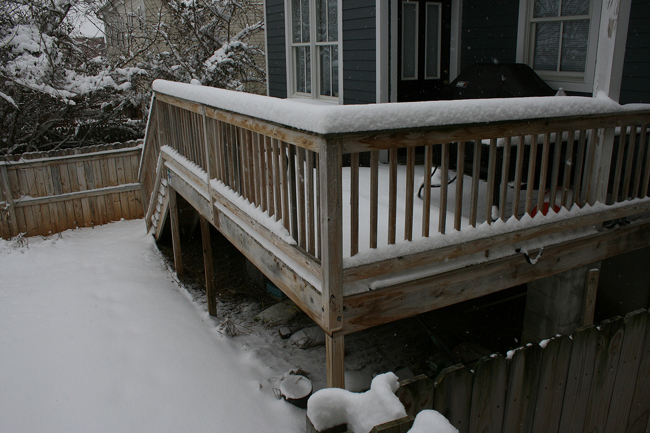
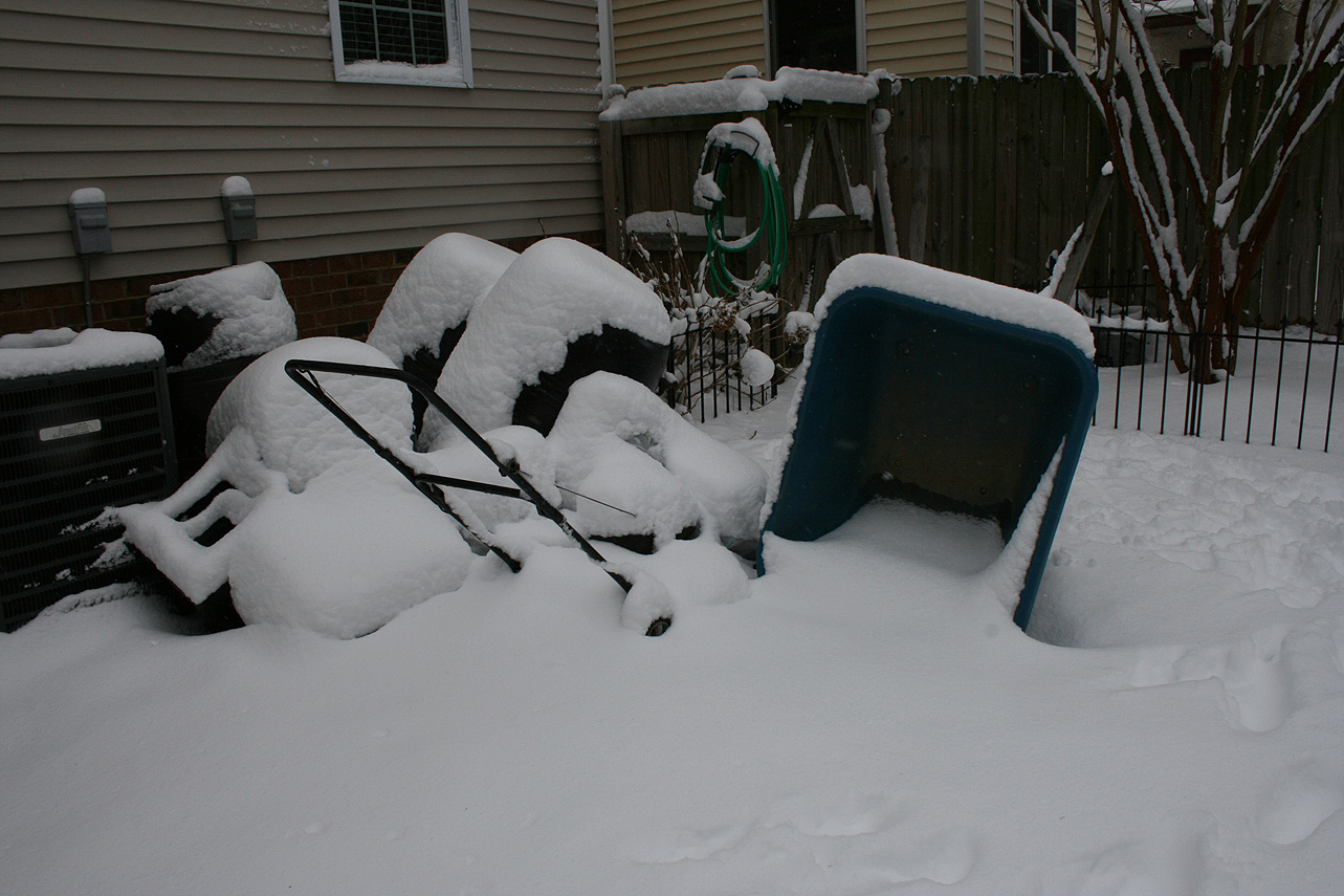
* Road Conditions: All roads had substantial snow accumulation on them by midday on 12/9.
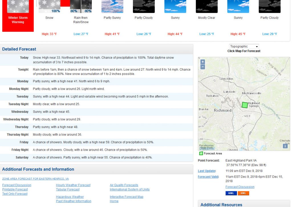
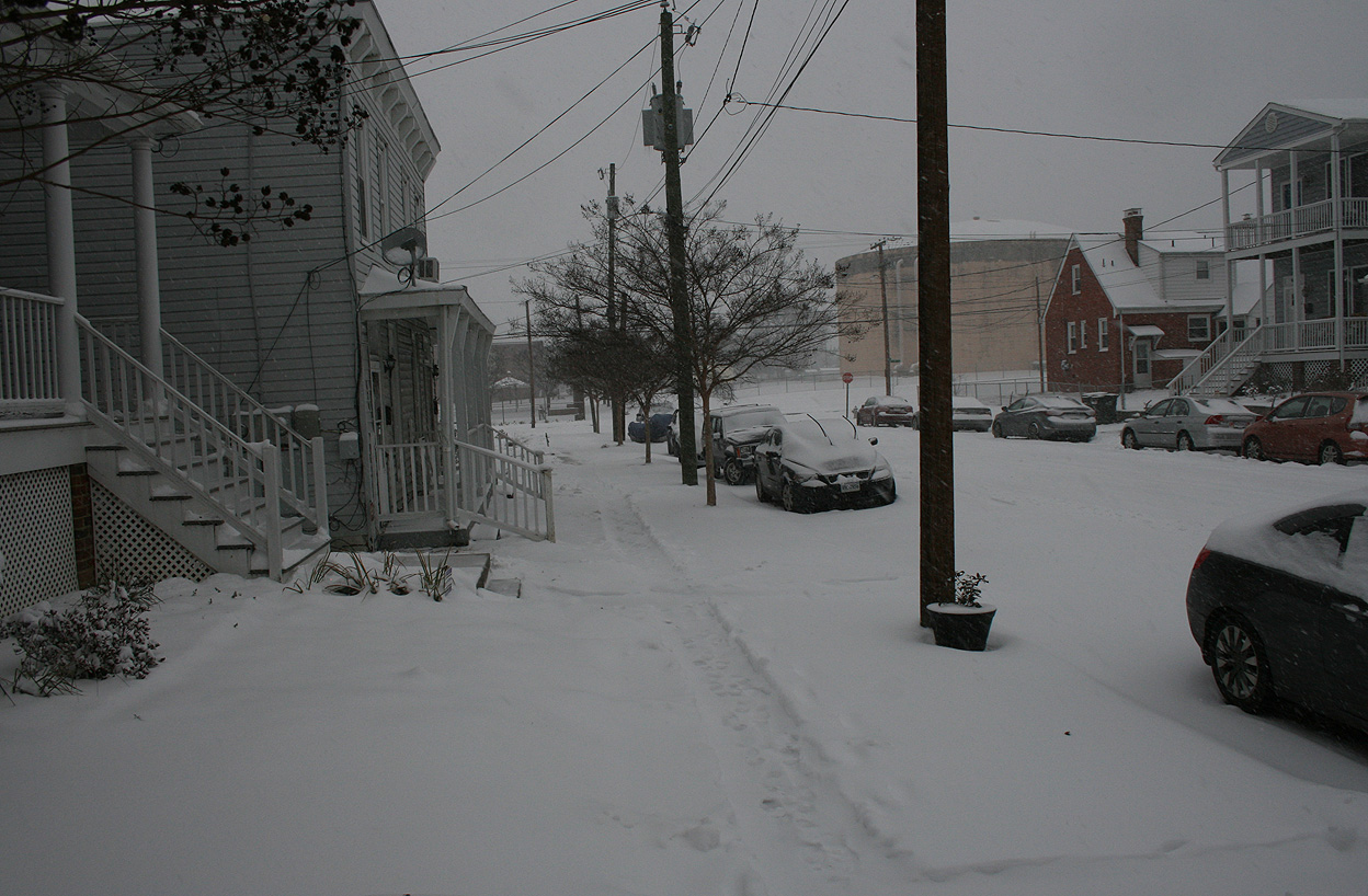
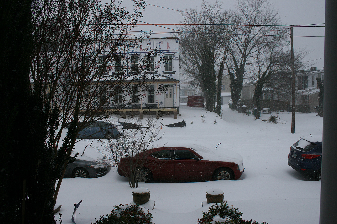
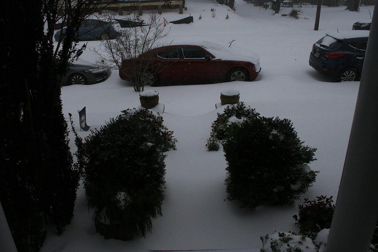
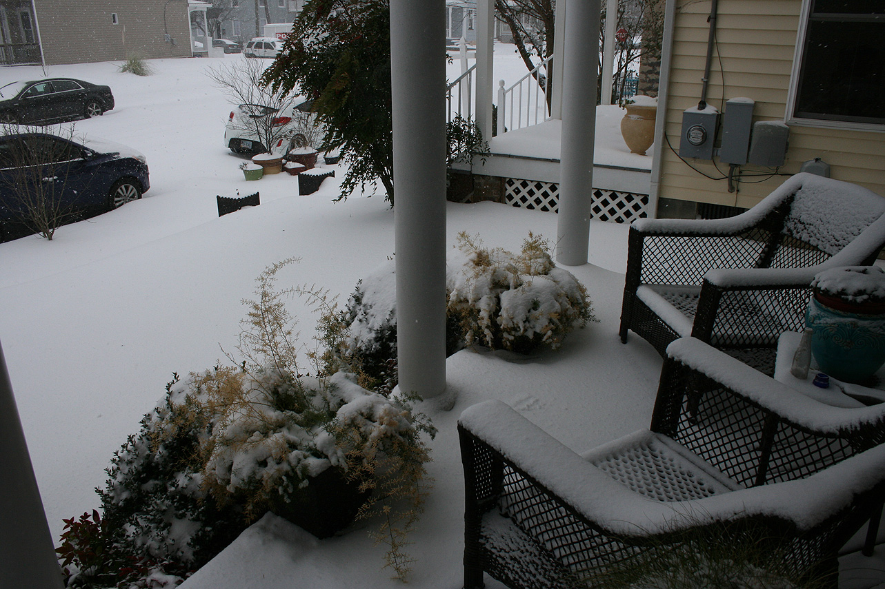
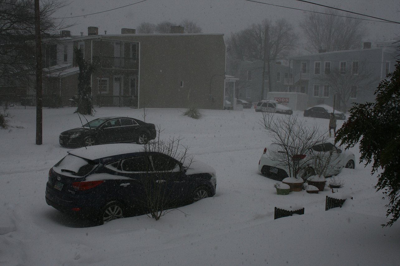
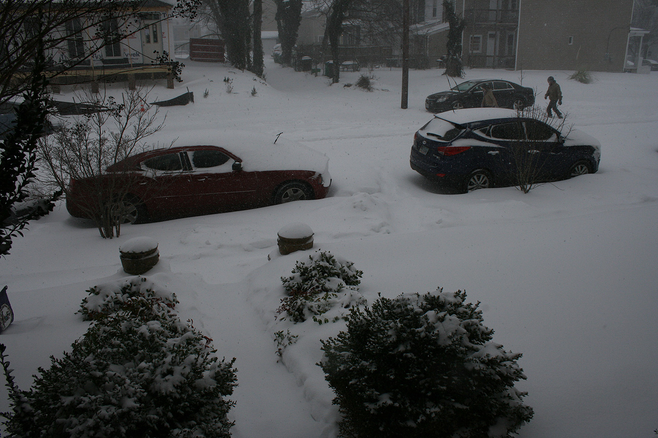
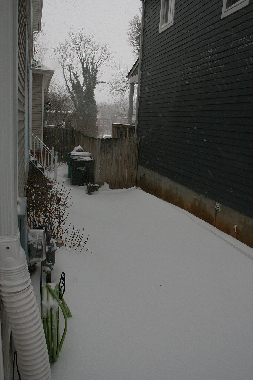
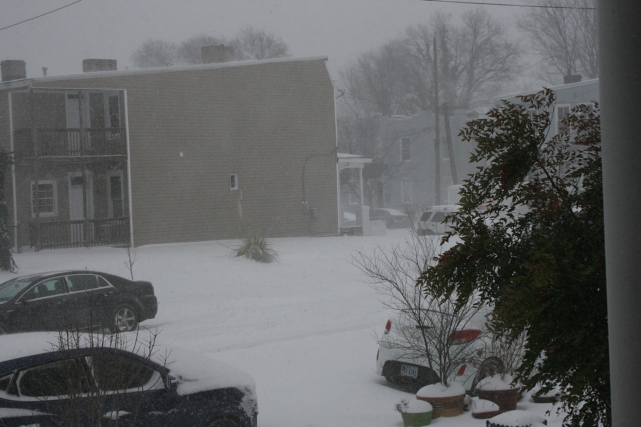
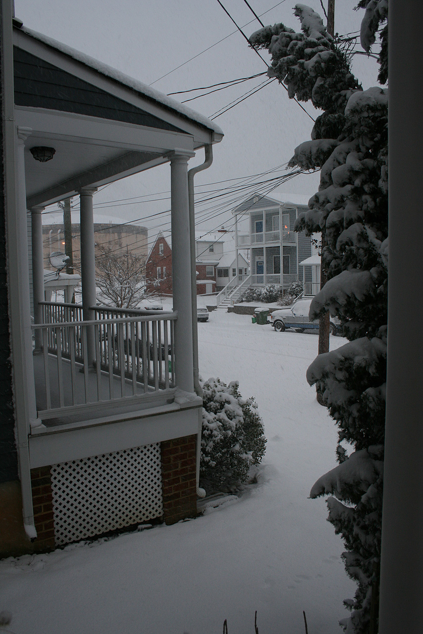
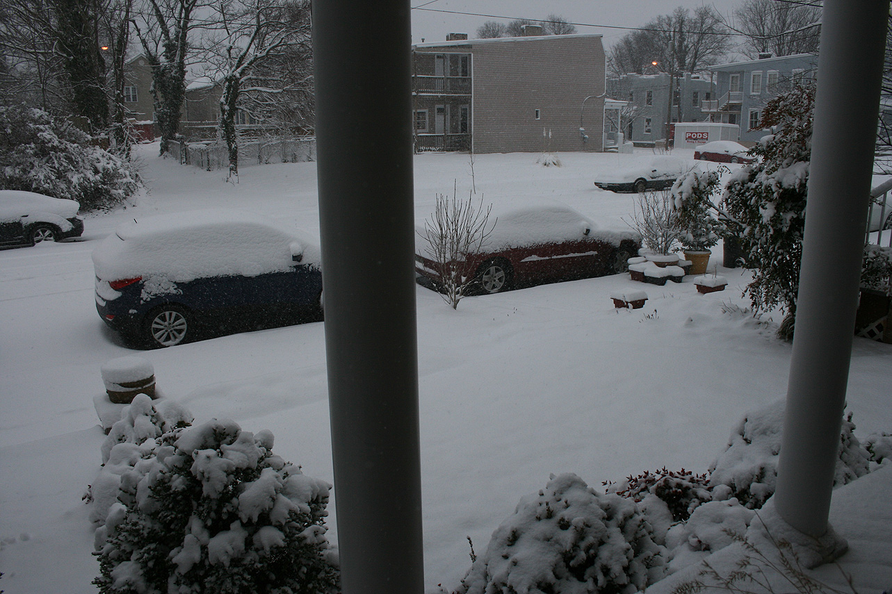
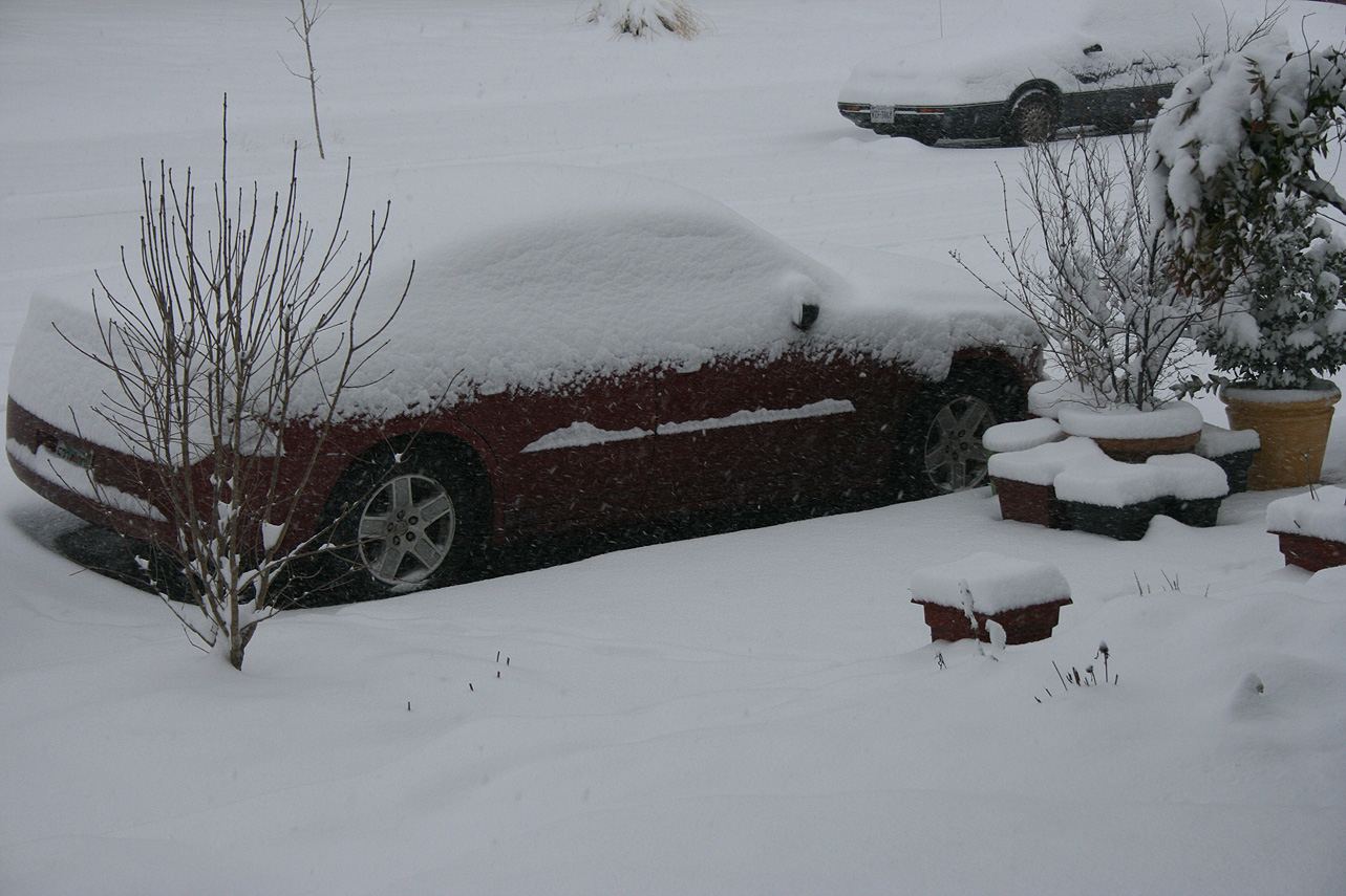
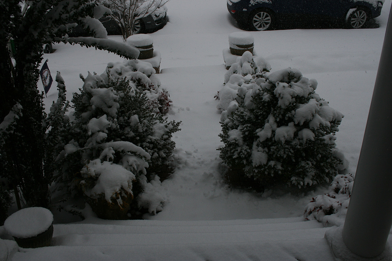
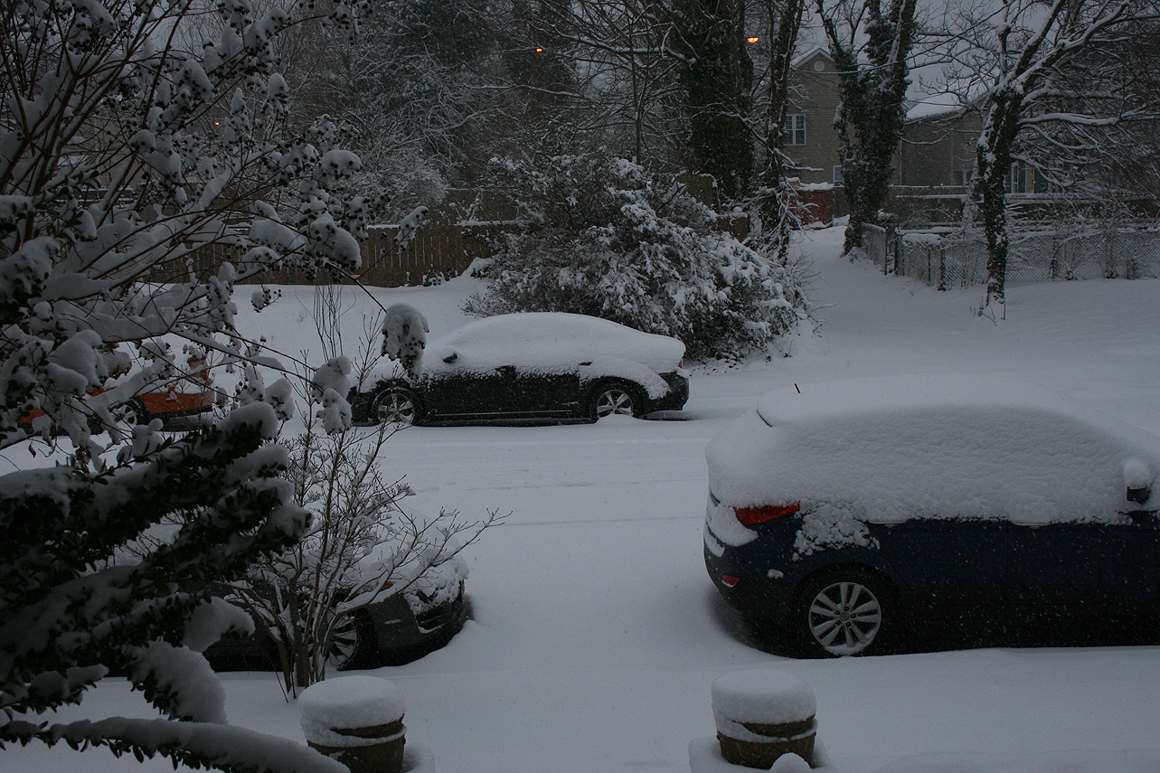
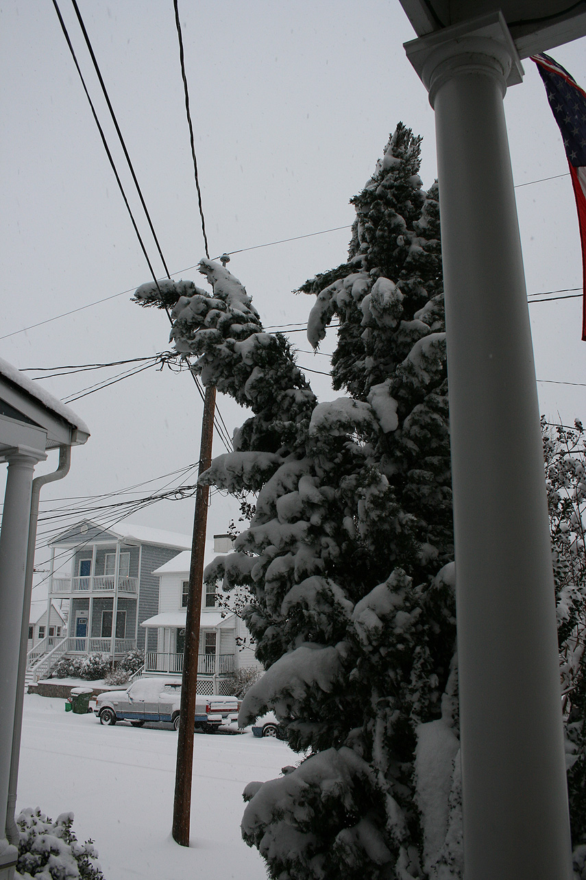
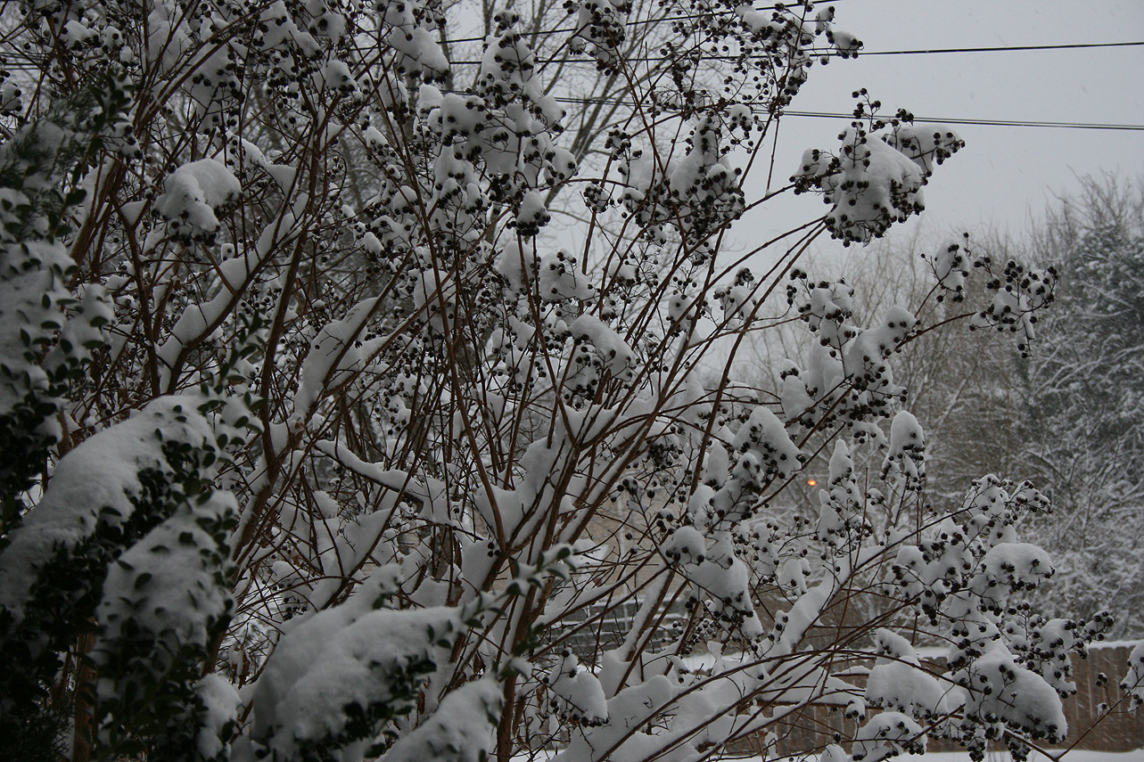
* Precipitation Description: Snow. Snow began around 7:30 AM . Snow transitioned to gropel and snow flurries around 8 PM before ending.
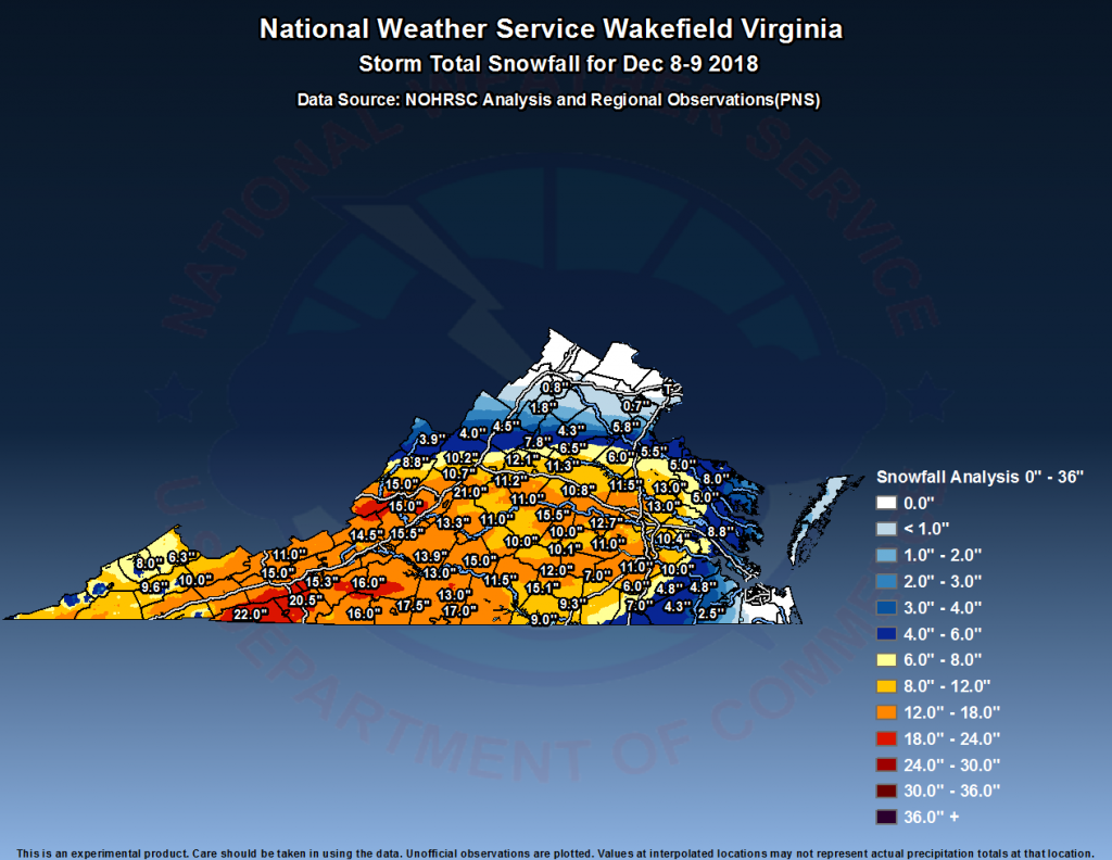
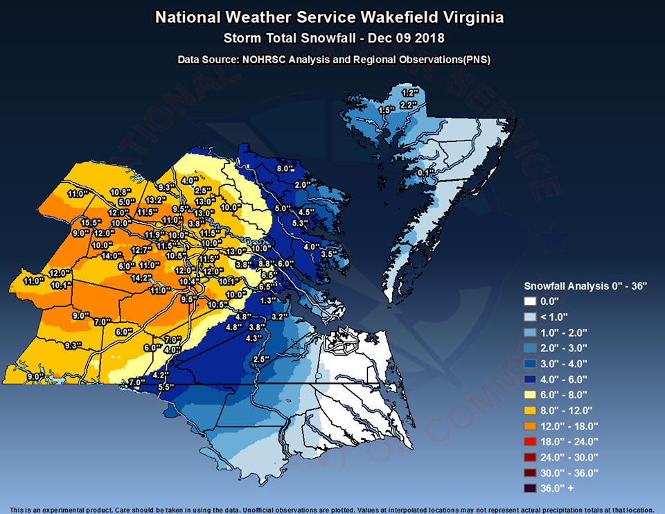
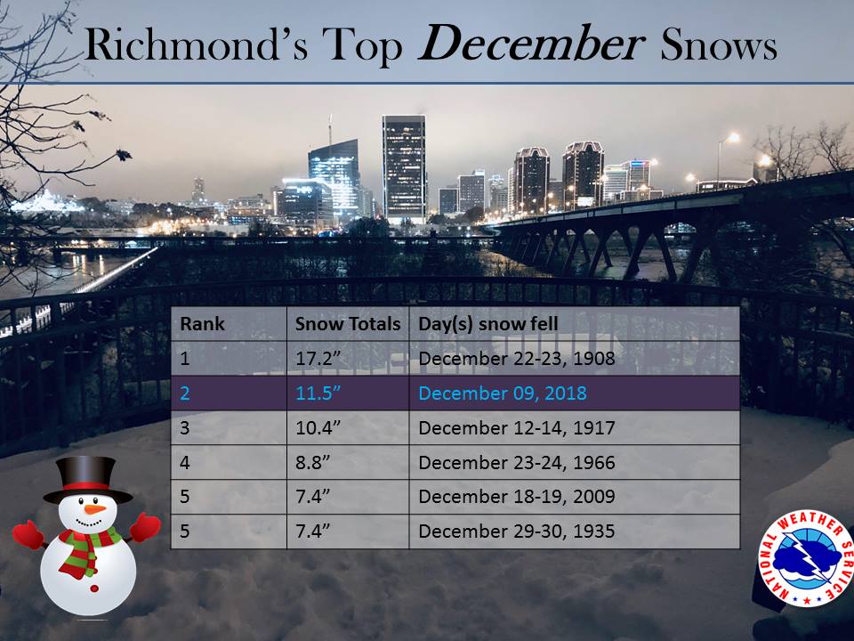
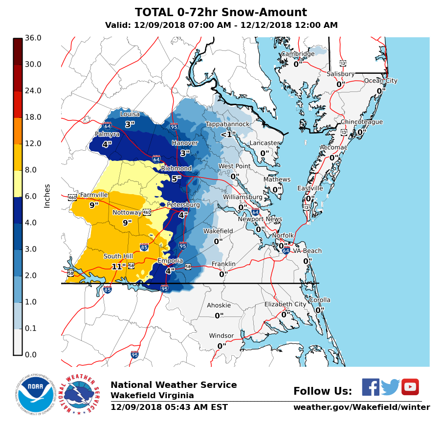
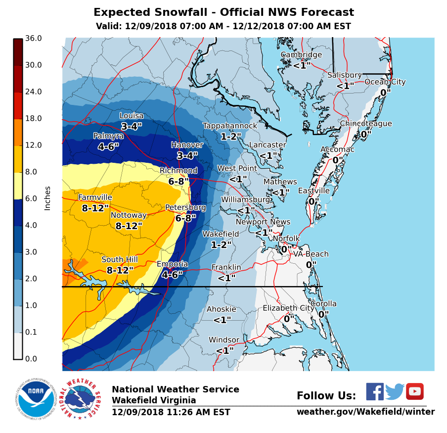
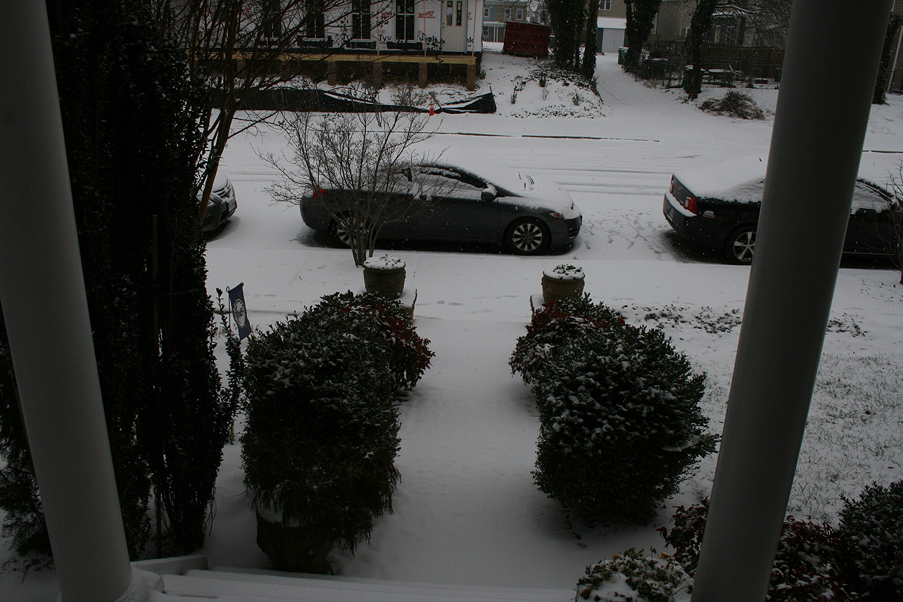
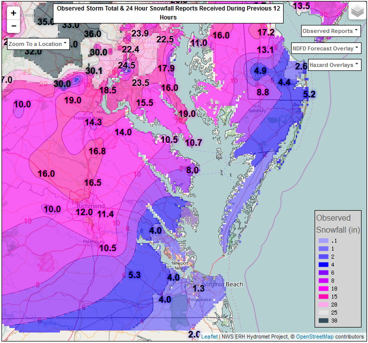
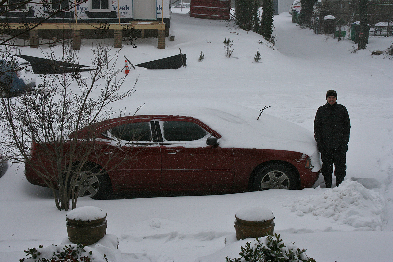
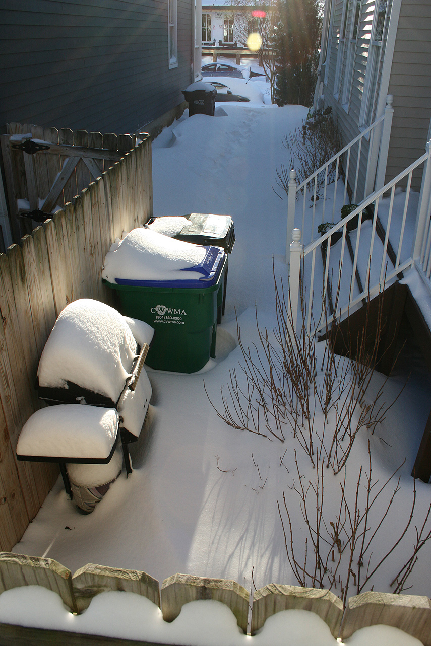
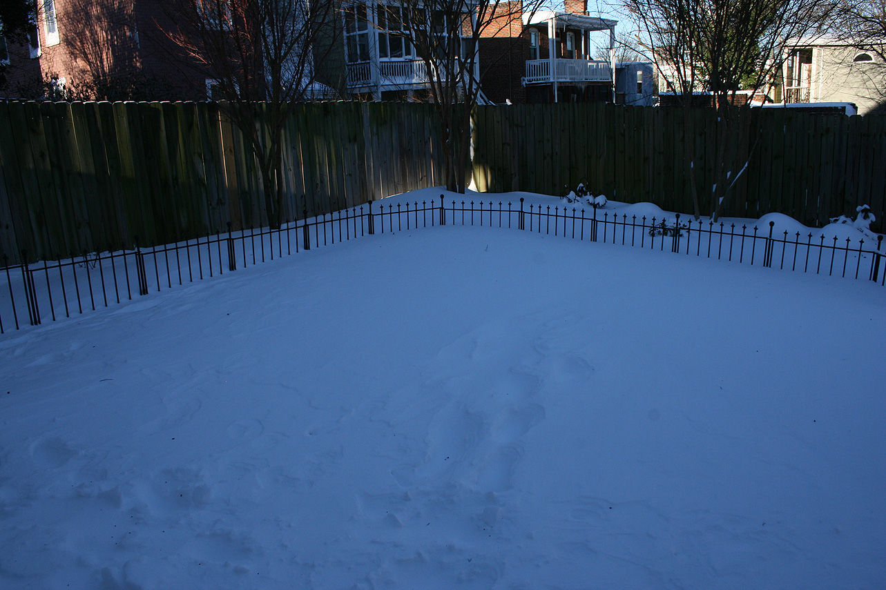
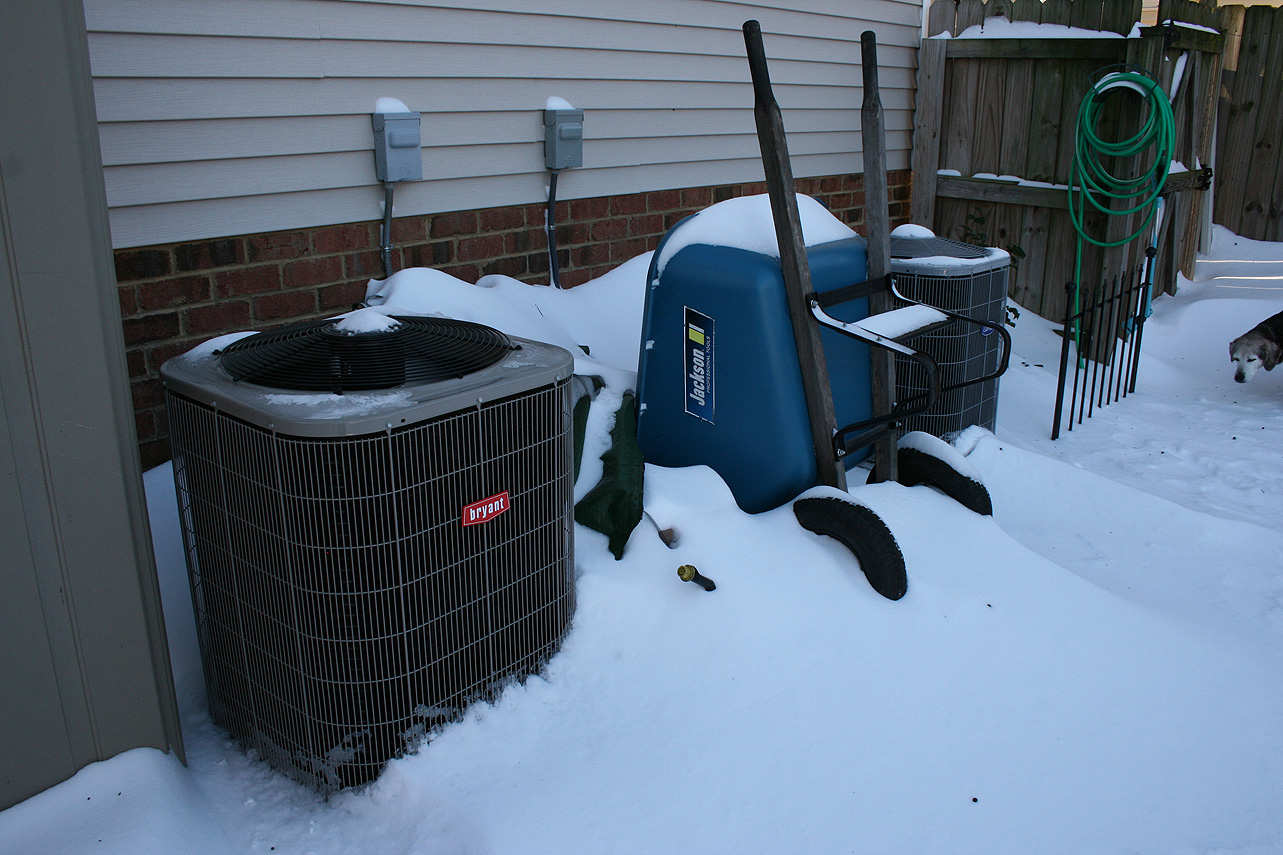
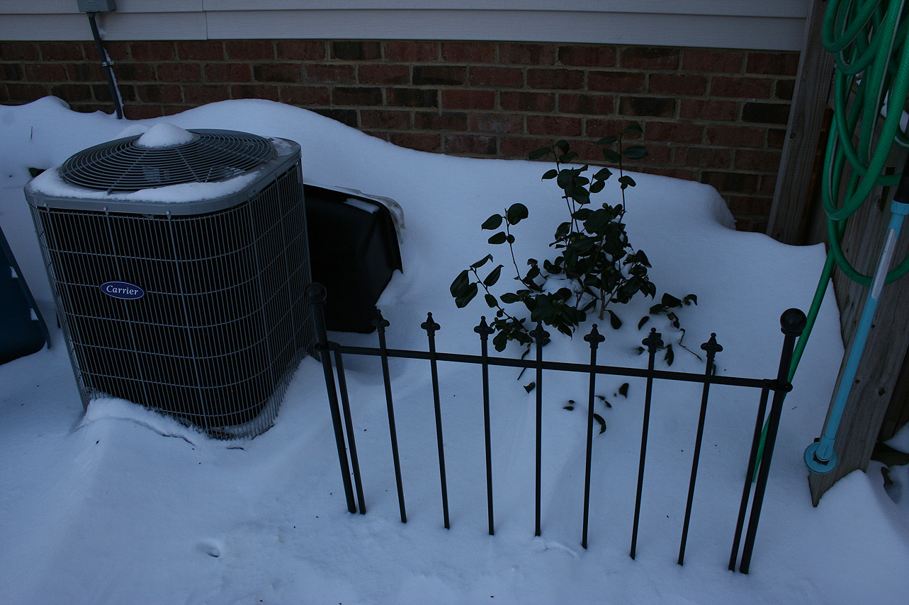
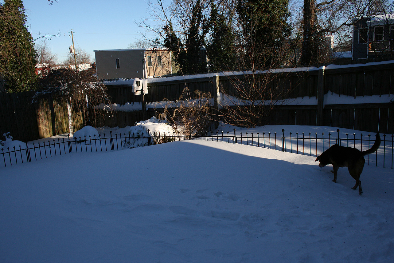
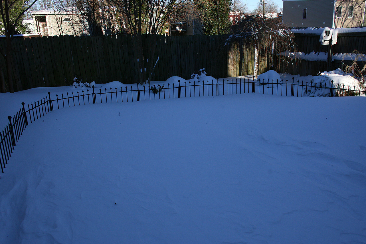
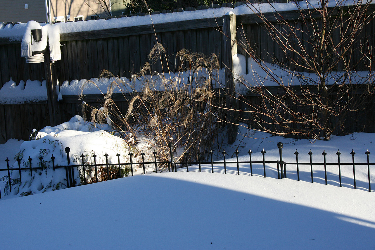
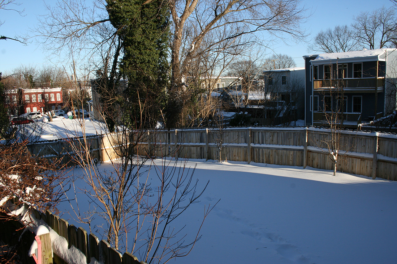
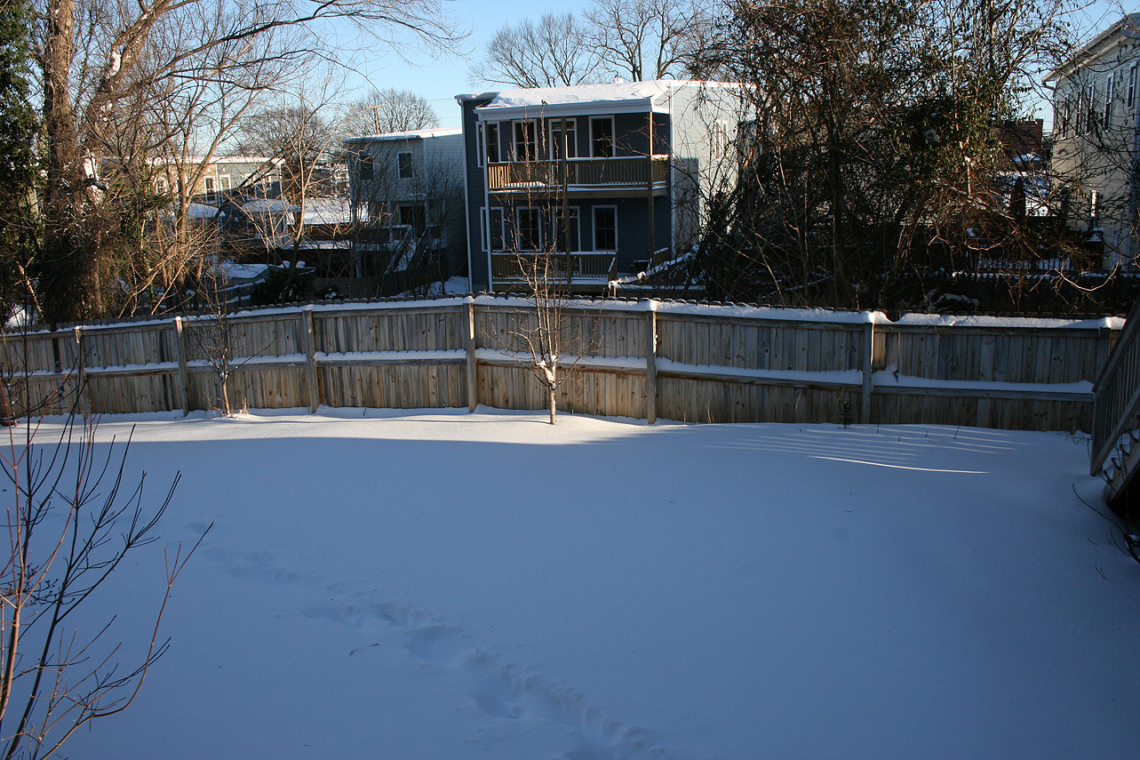
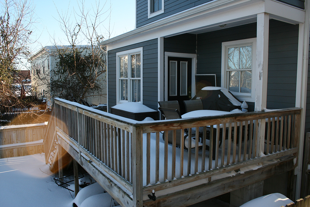
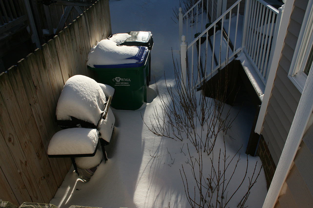
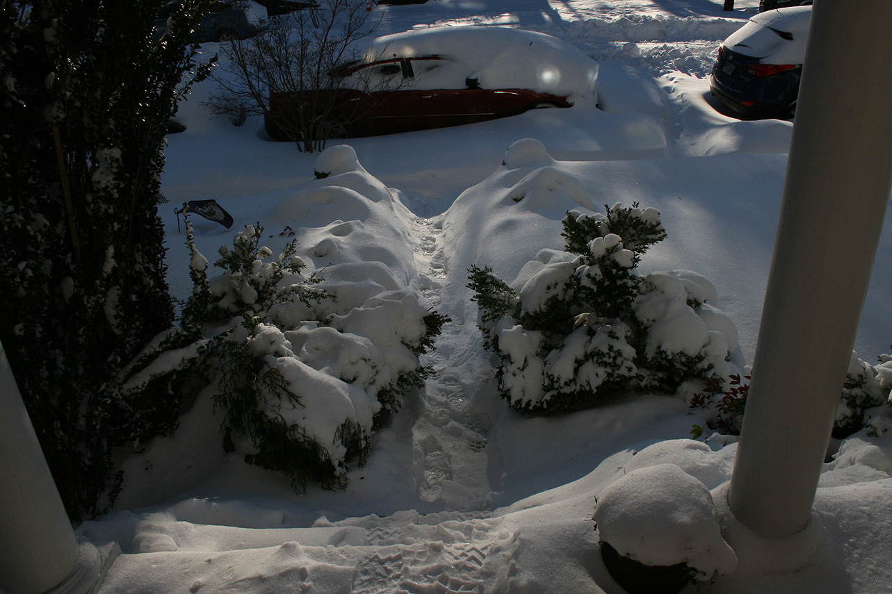
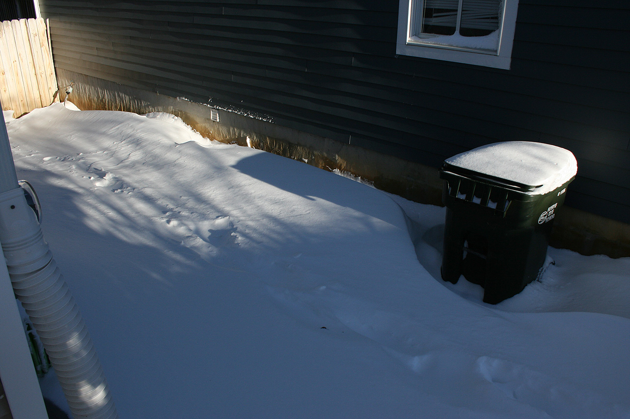
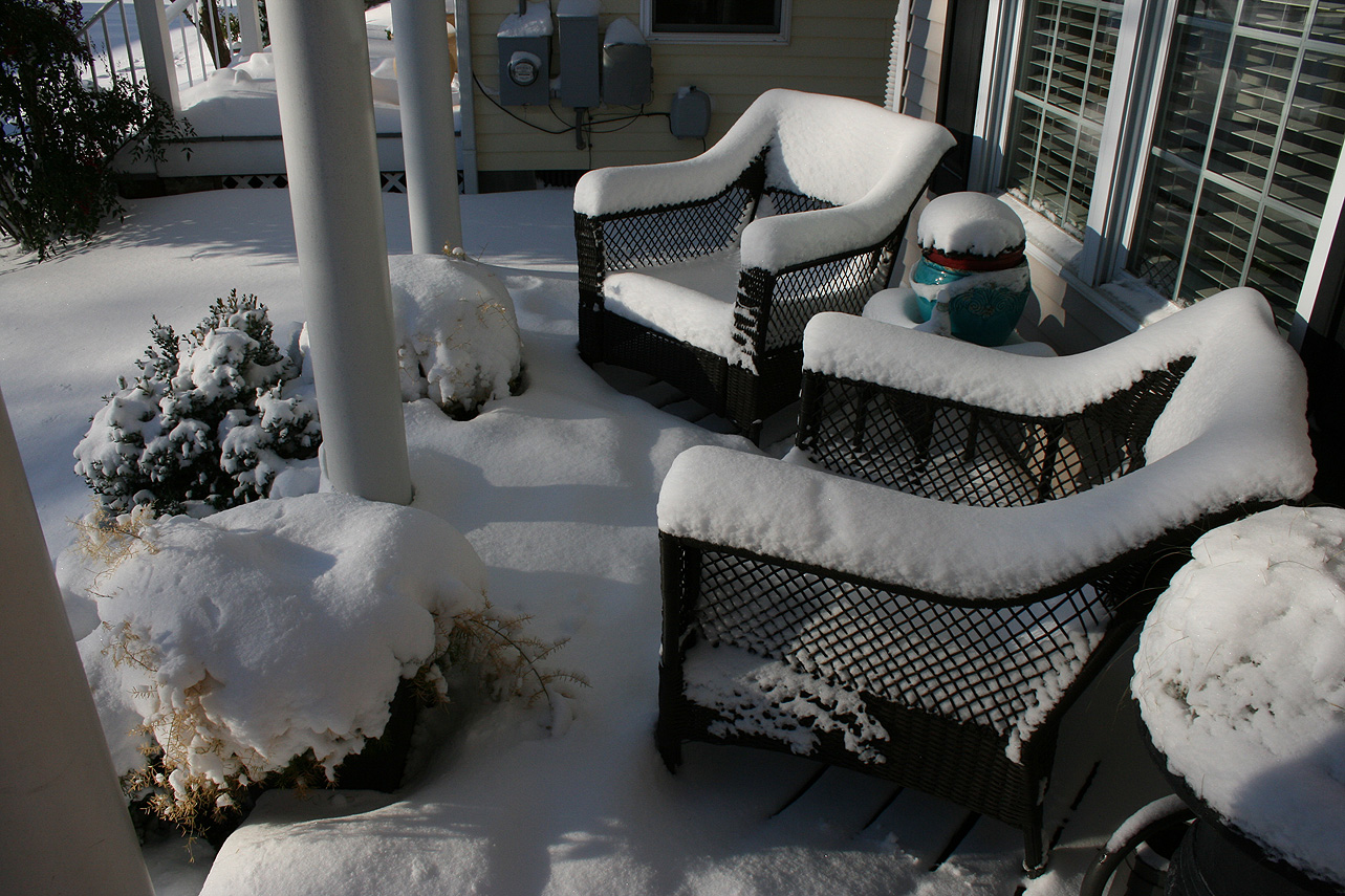
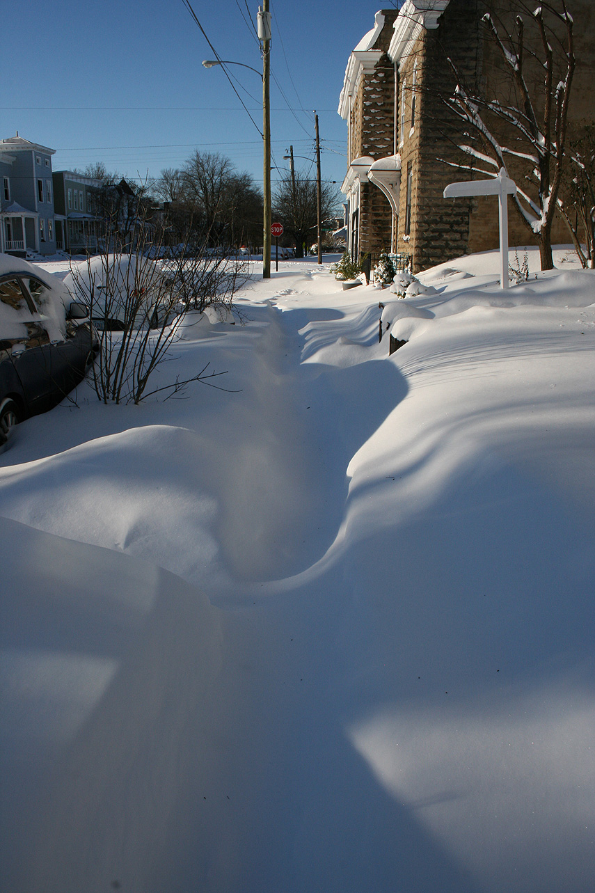
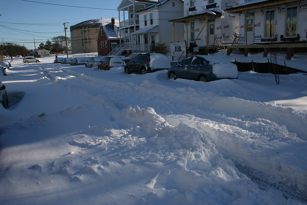
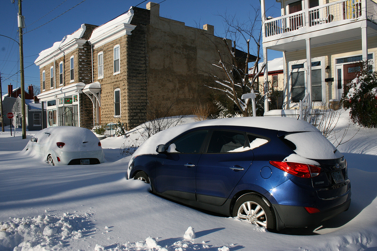
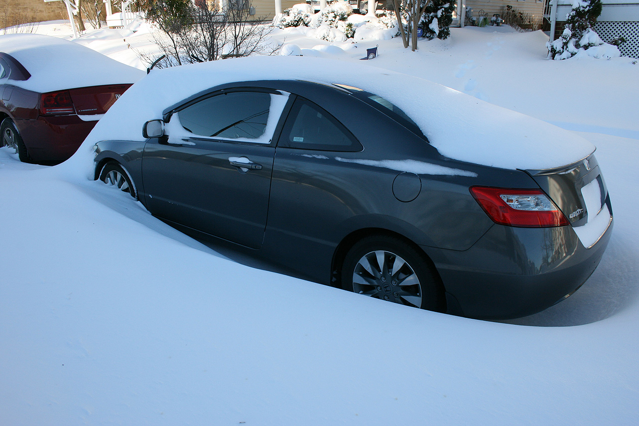
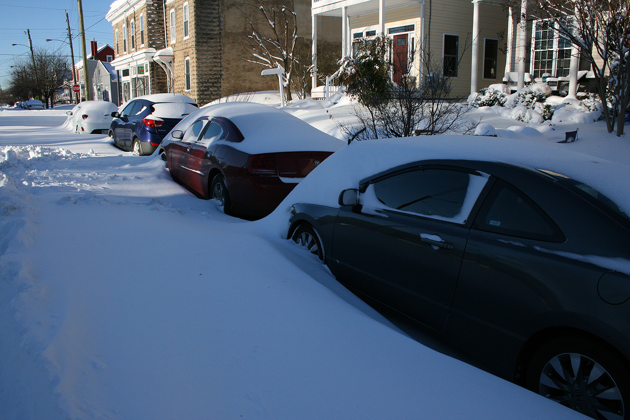
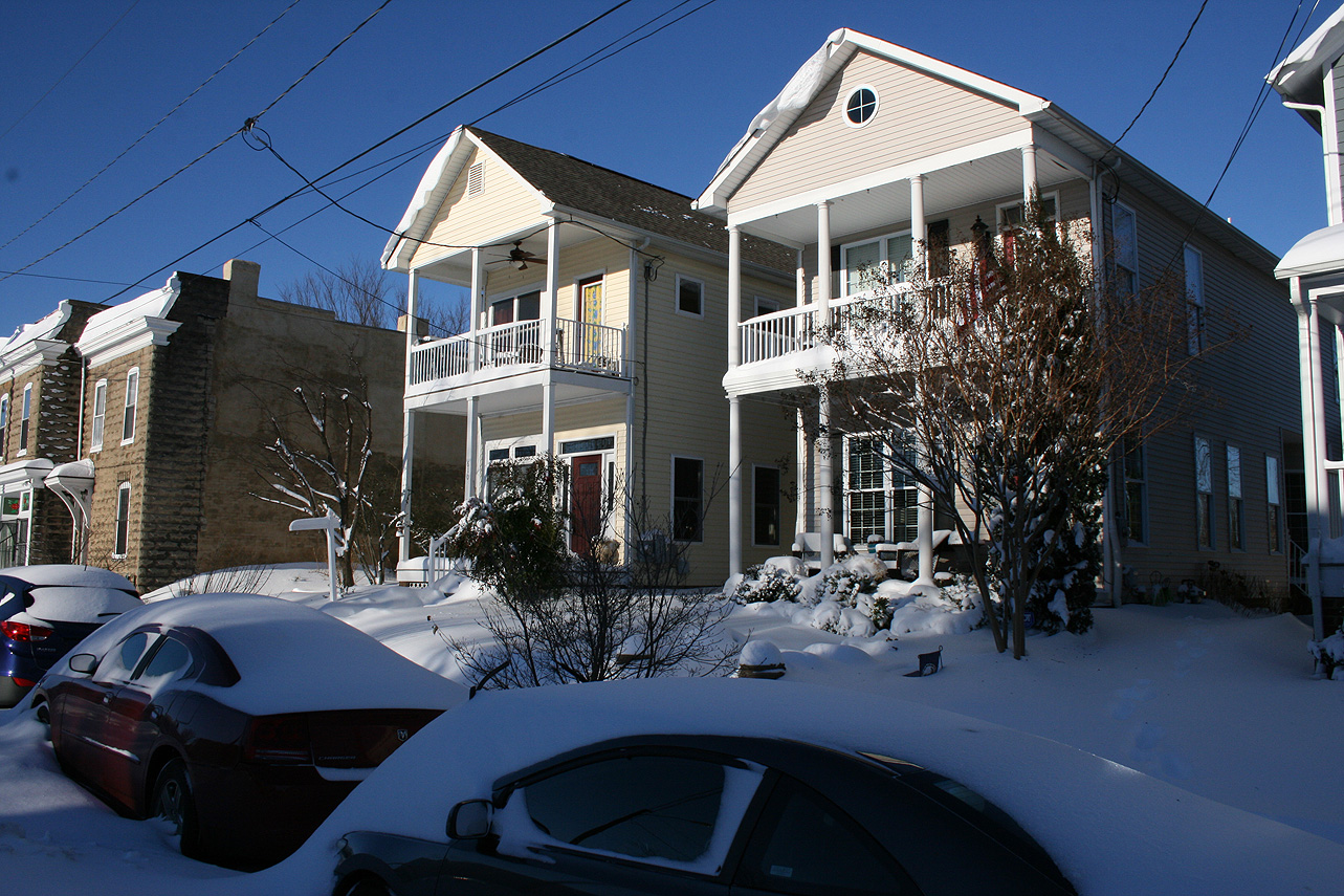
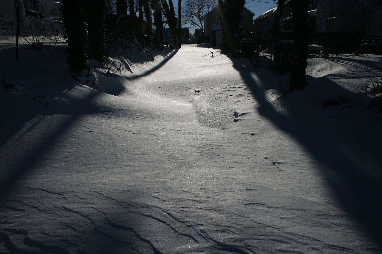
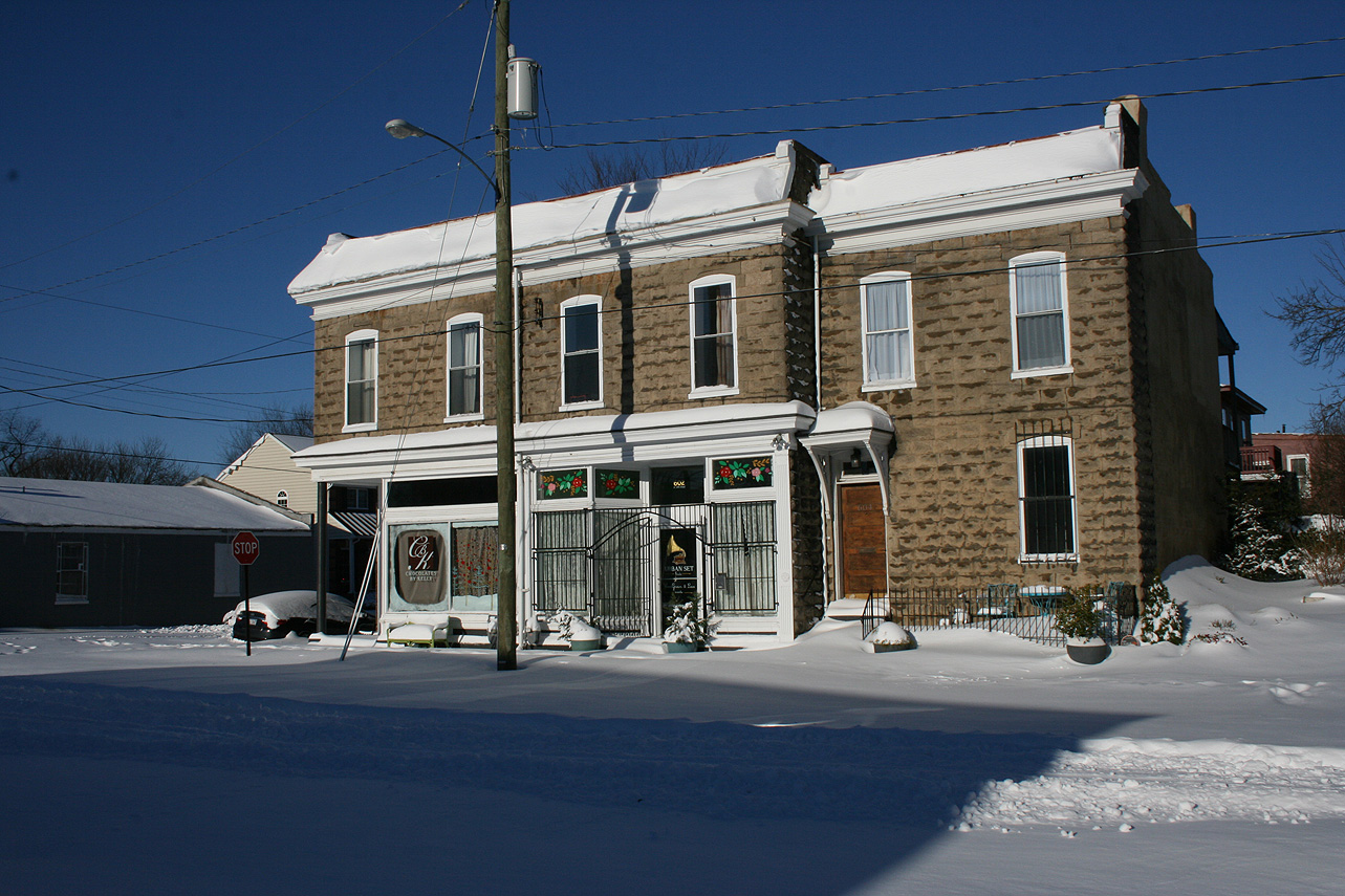
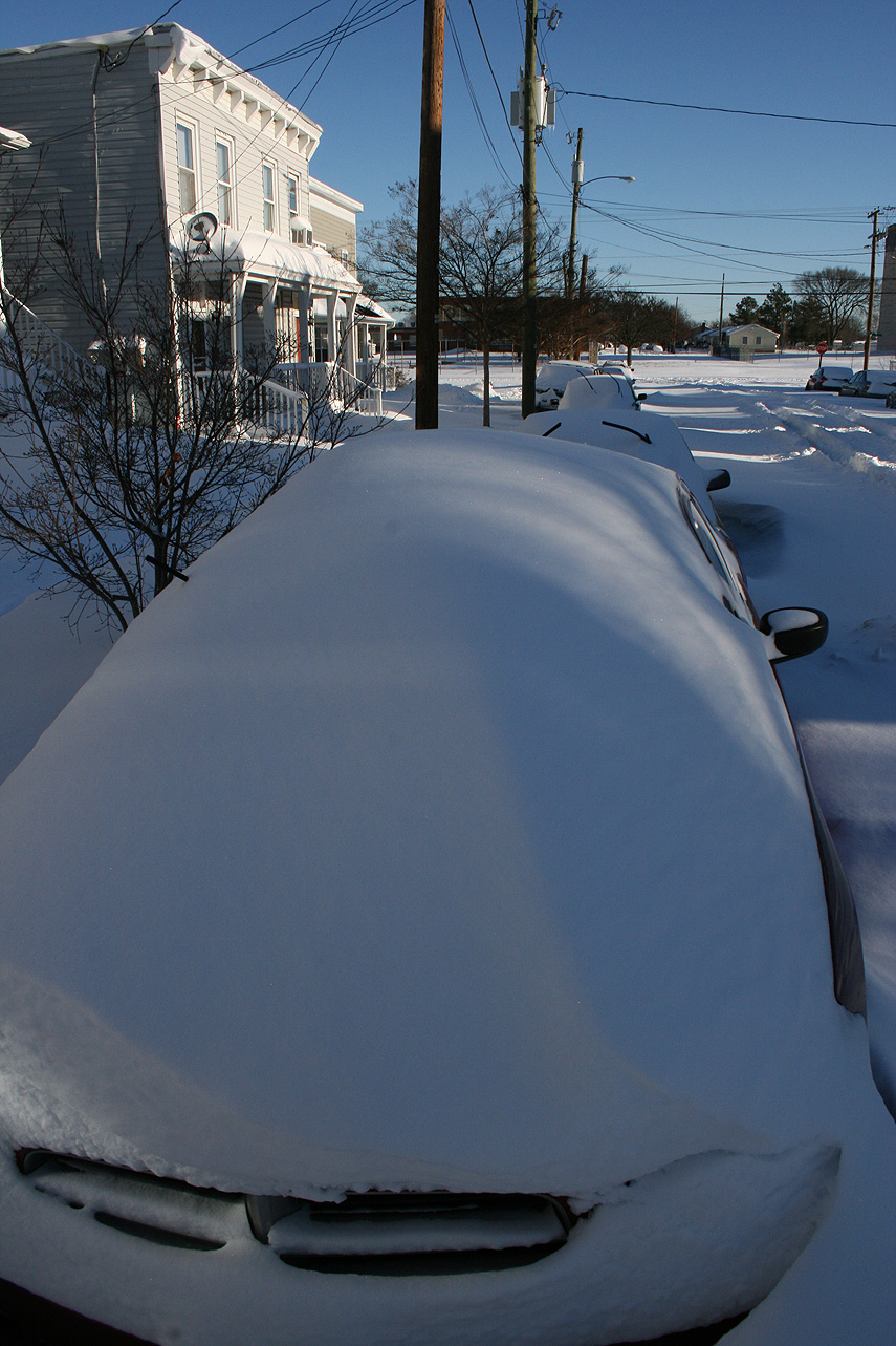
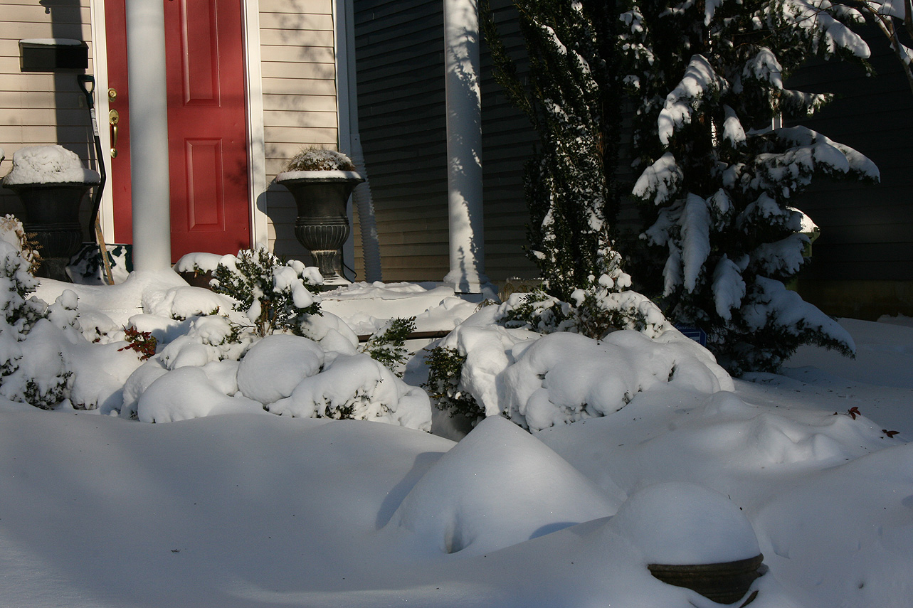
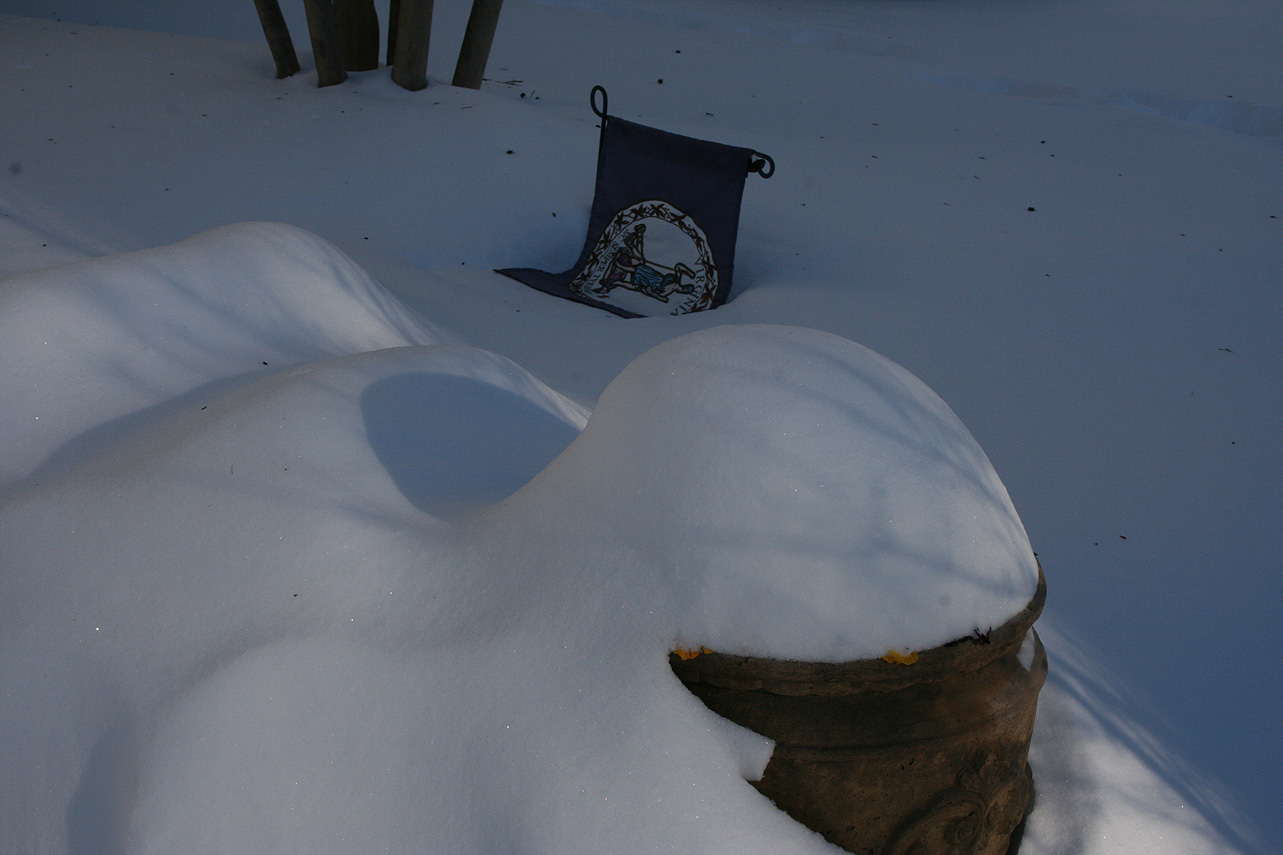
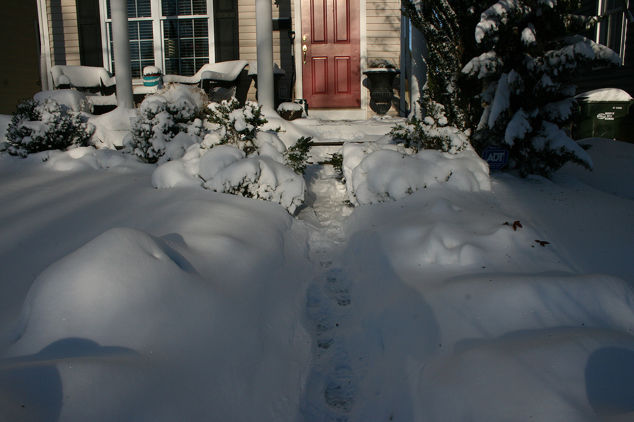
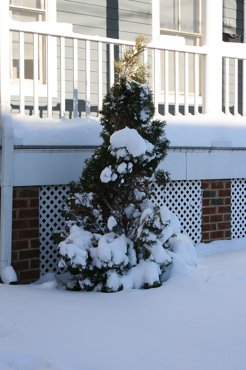
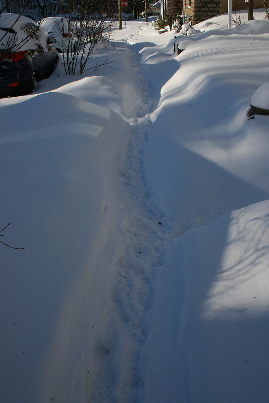
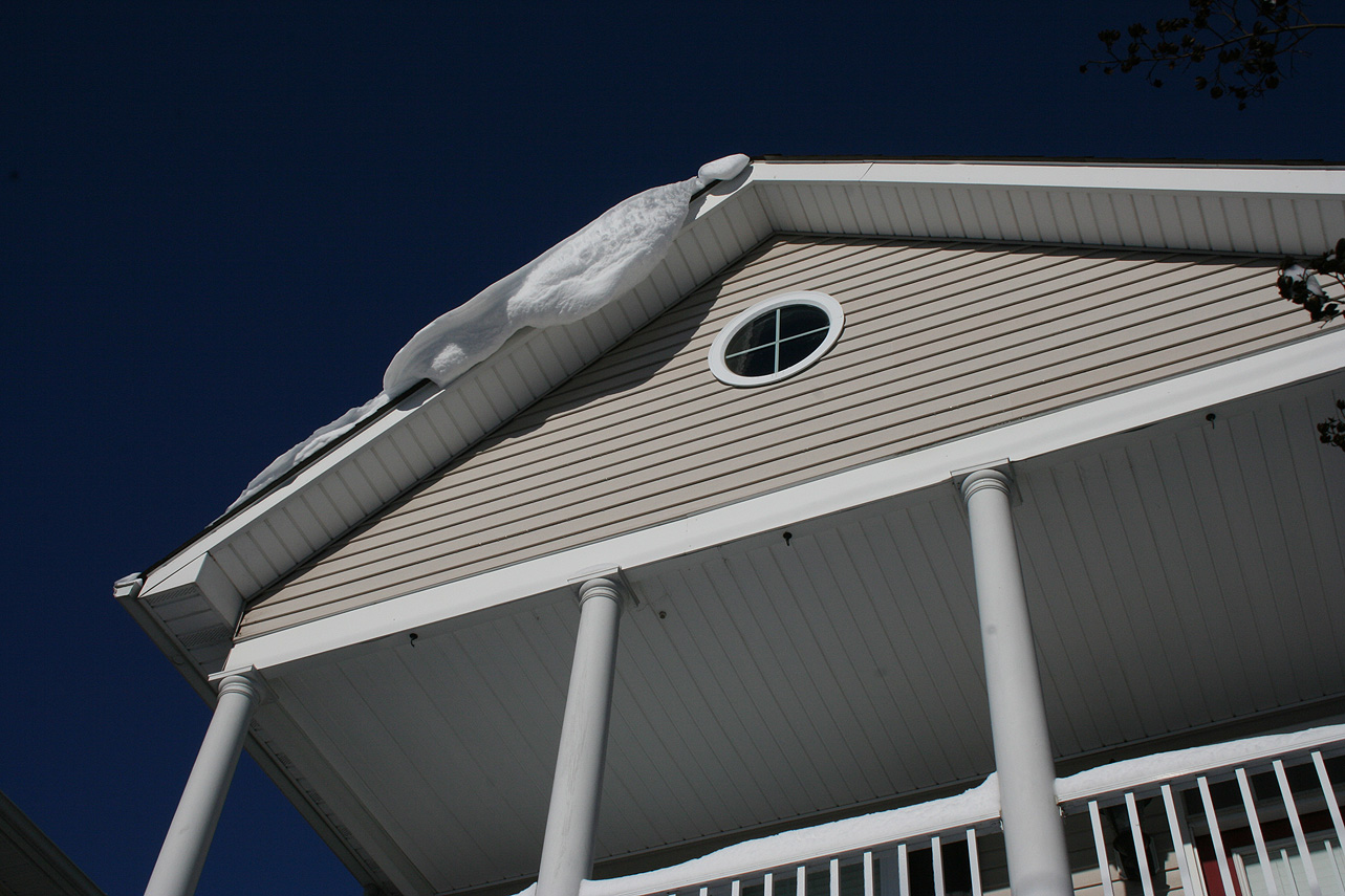
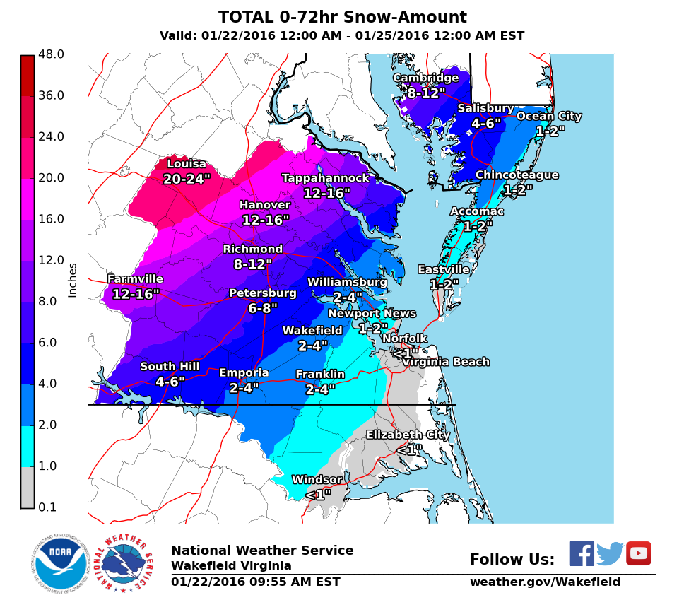
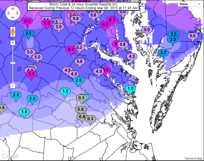
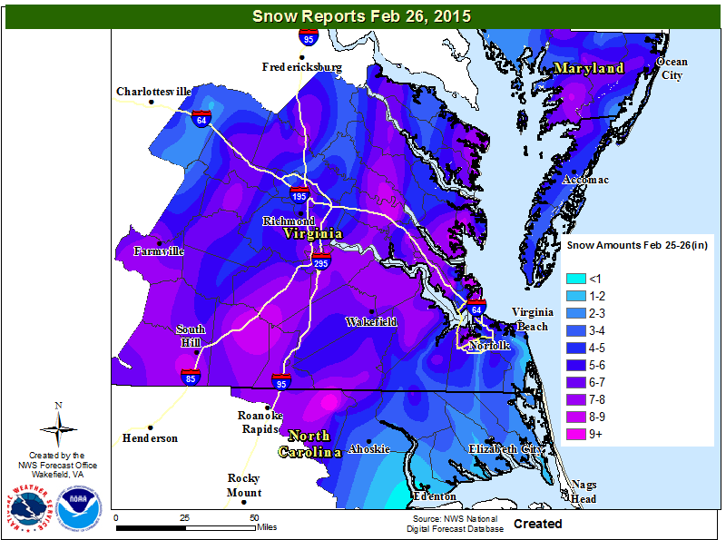
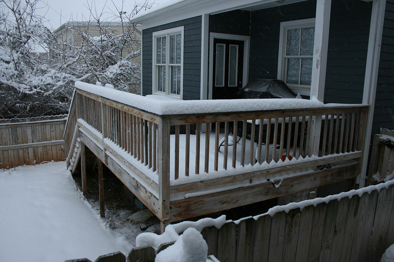
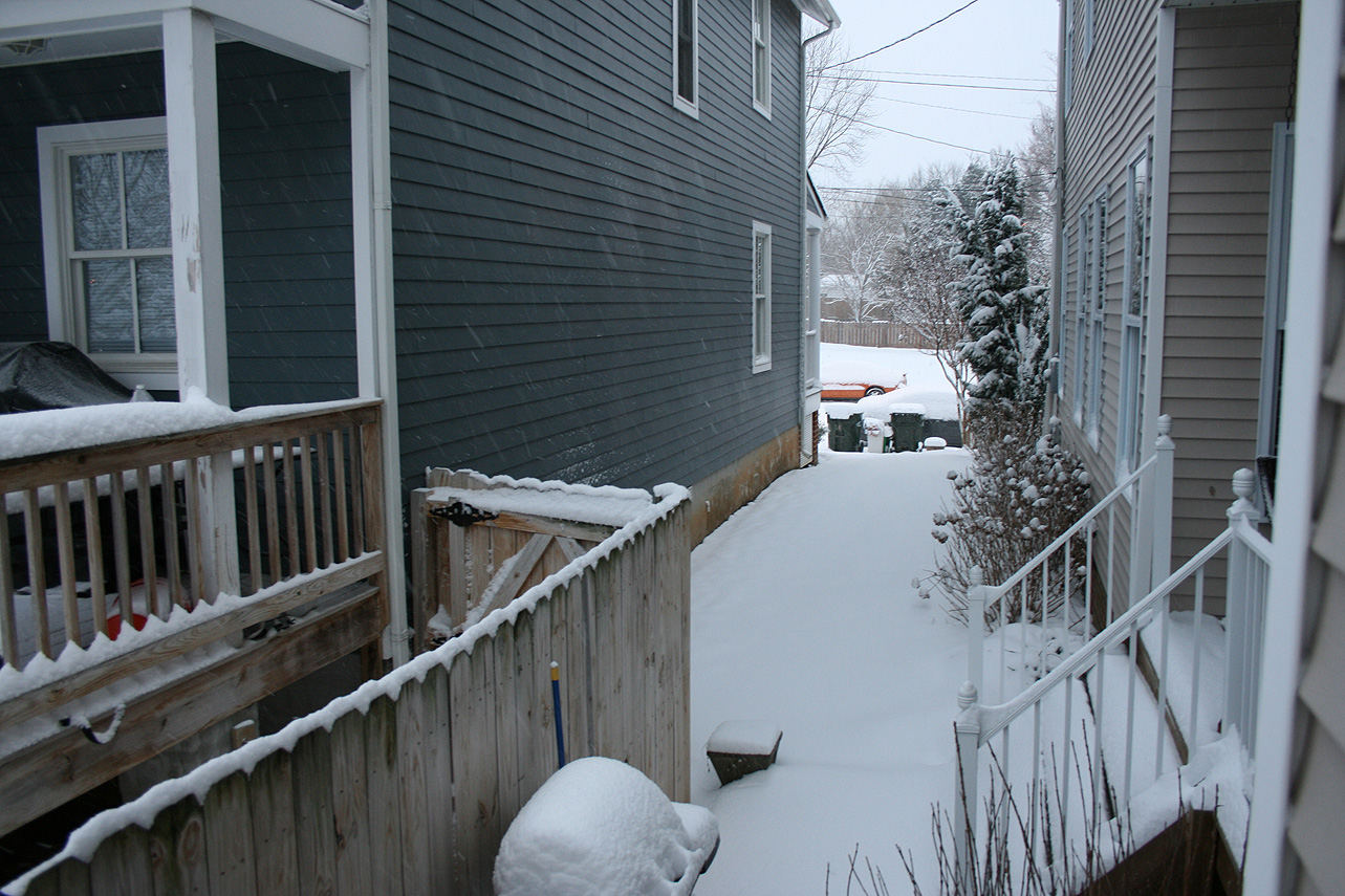
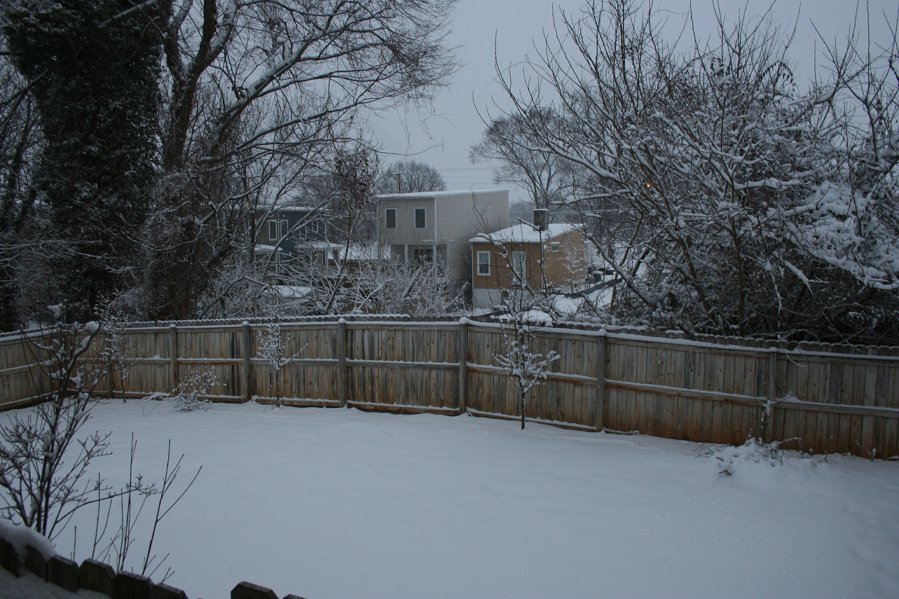
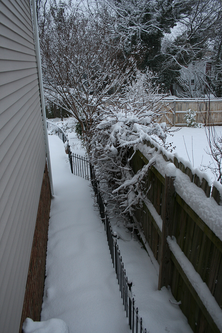
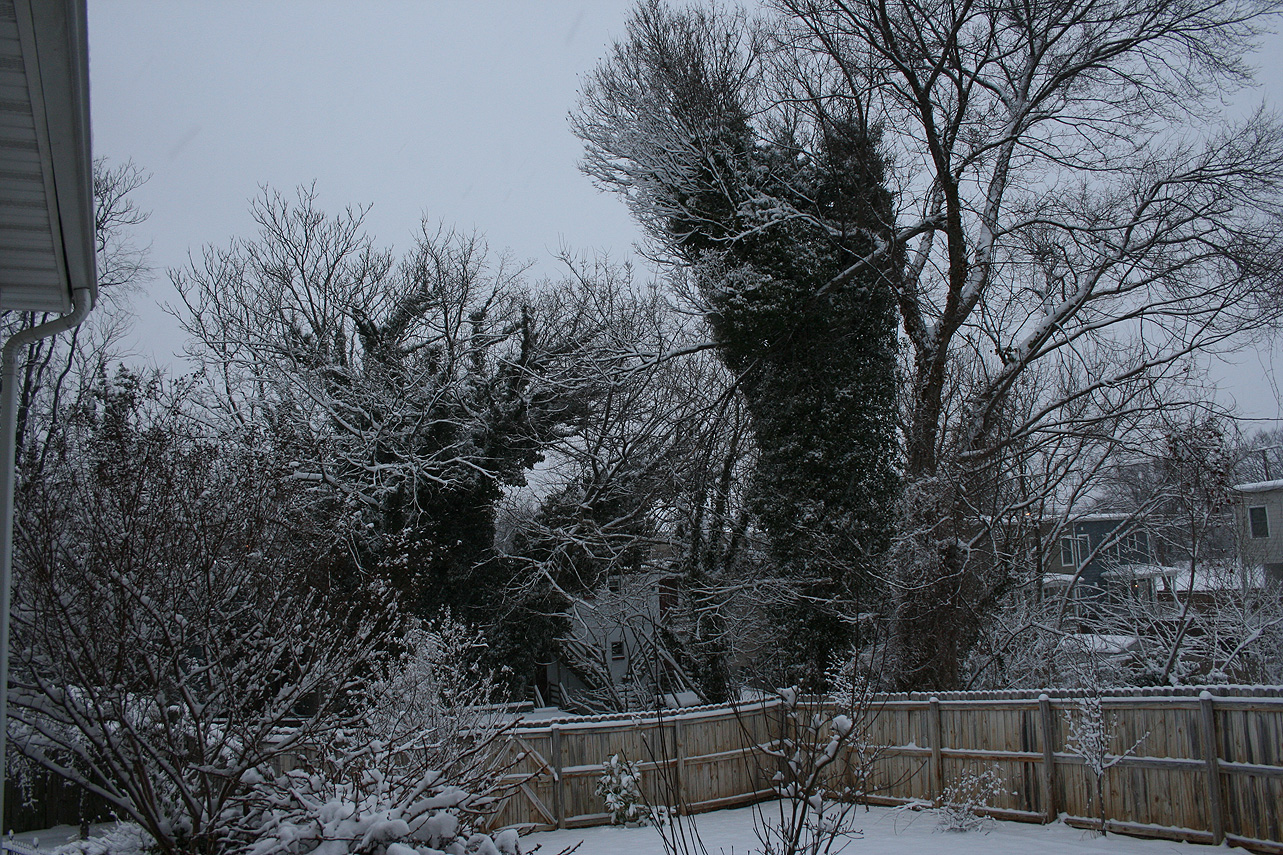
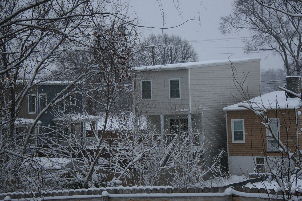
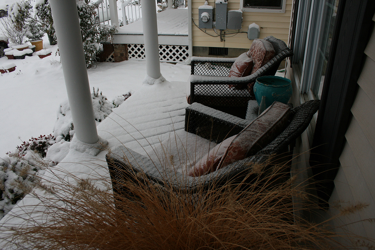
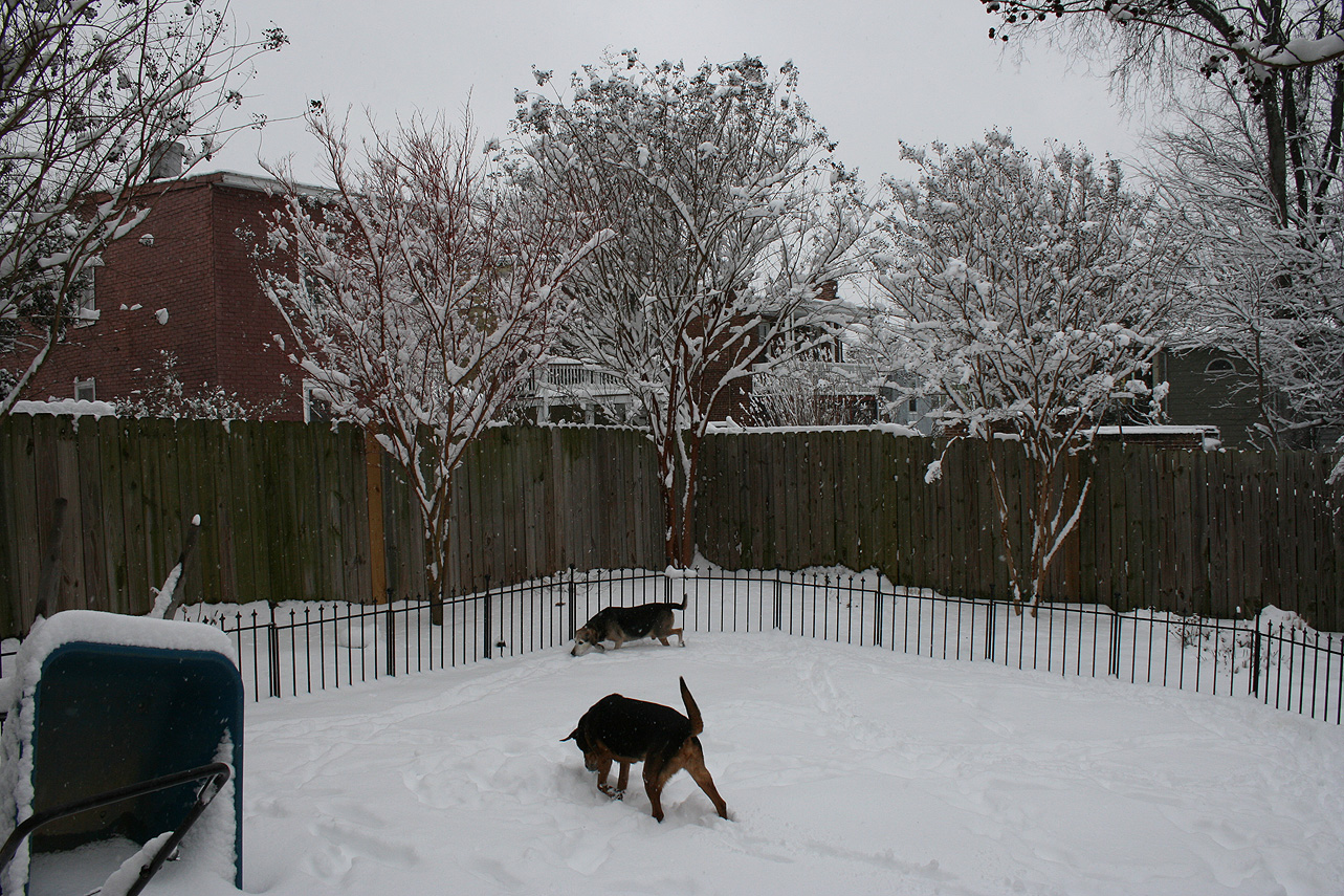
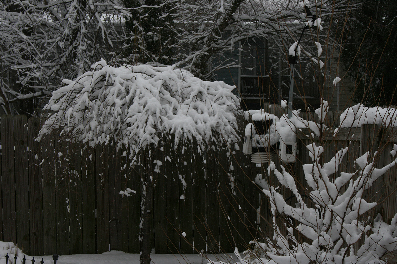
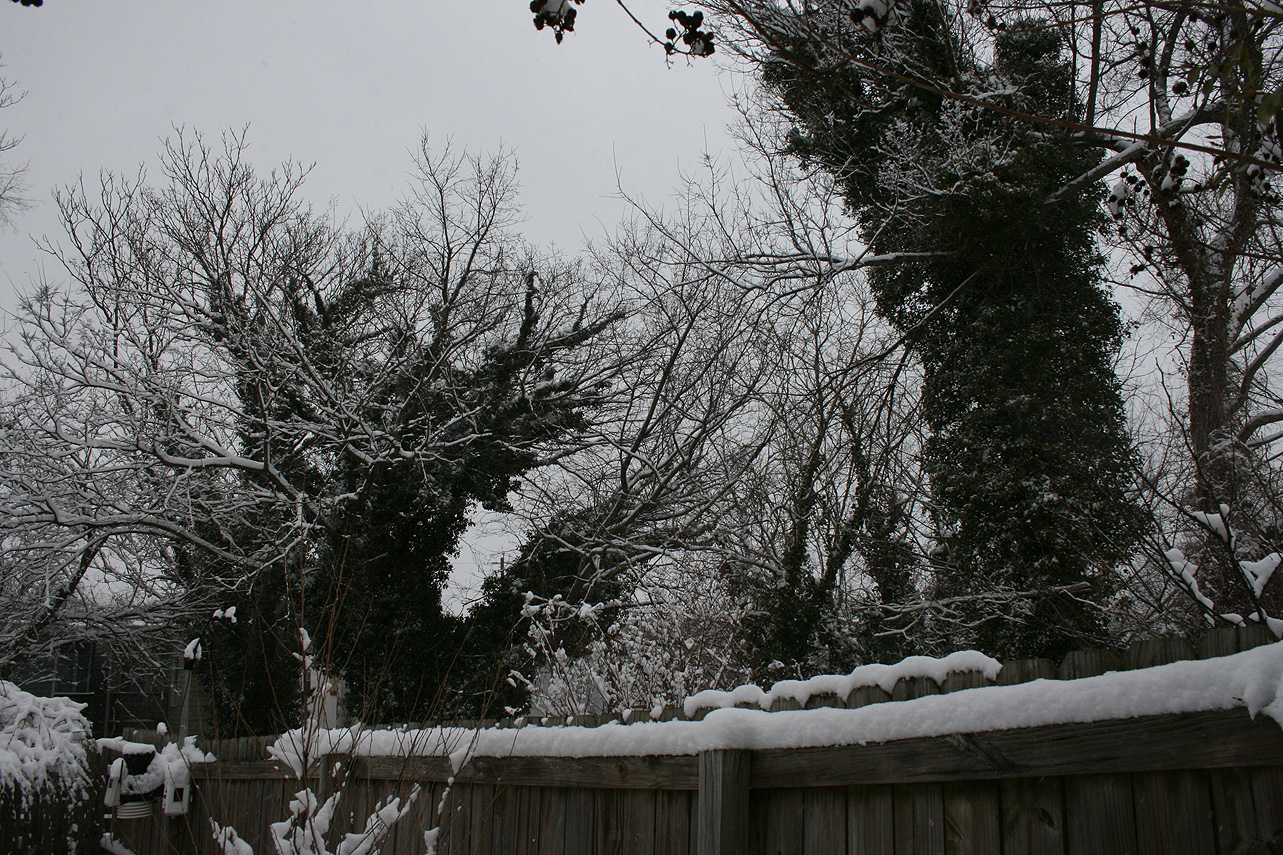
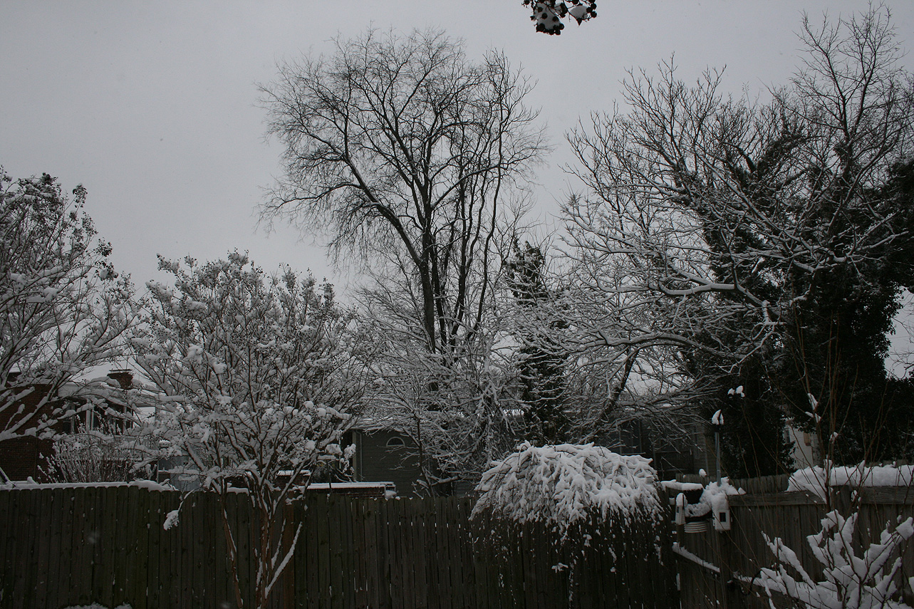
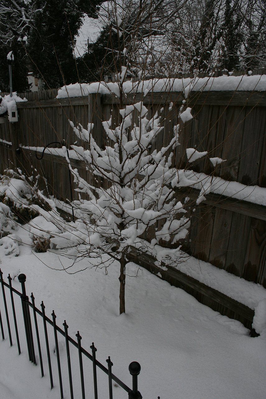
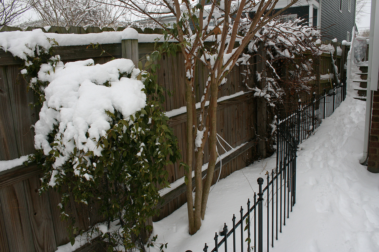
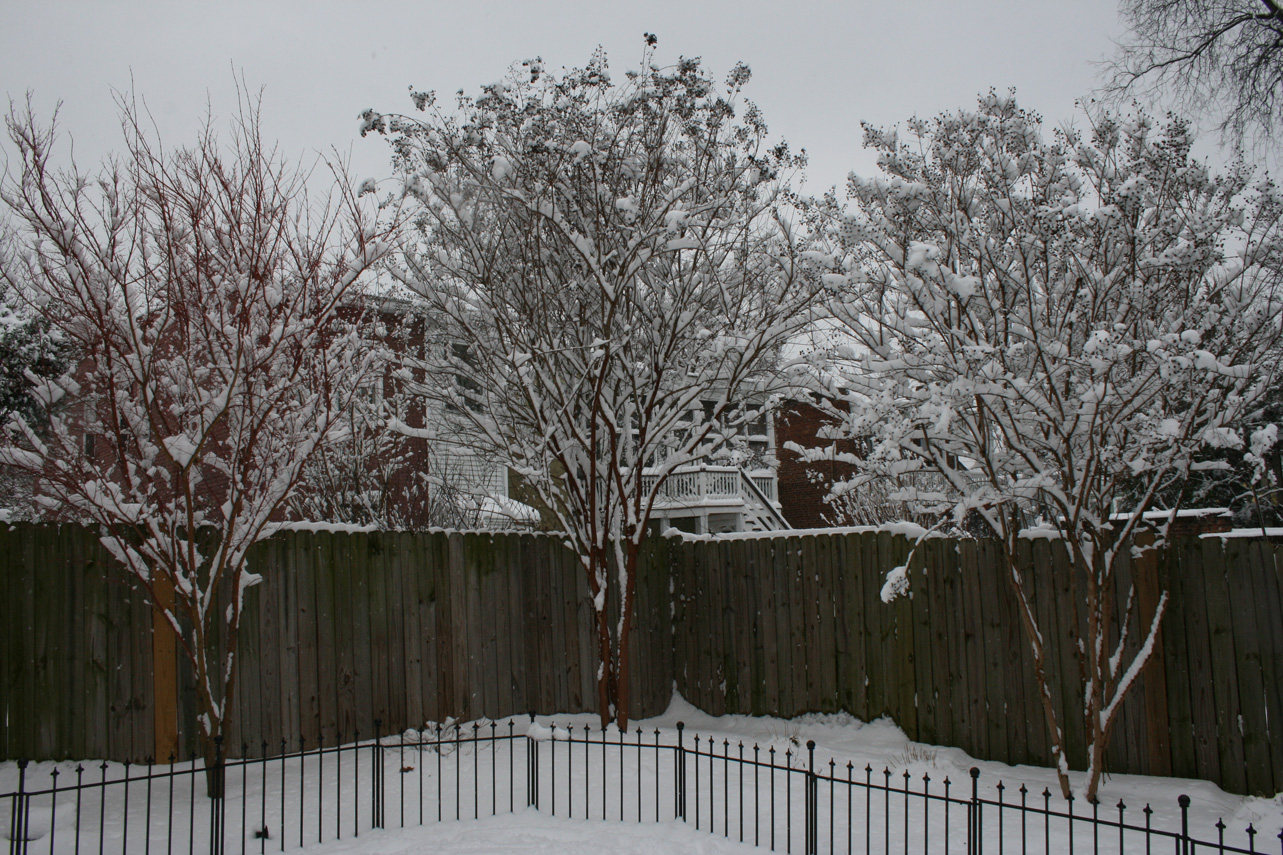
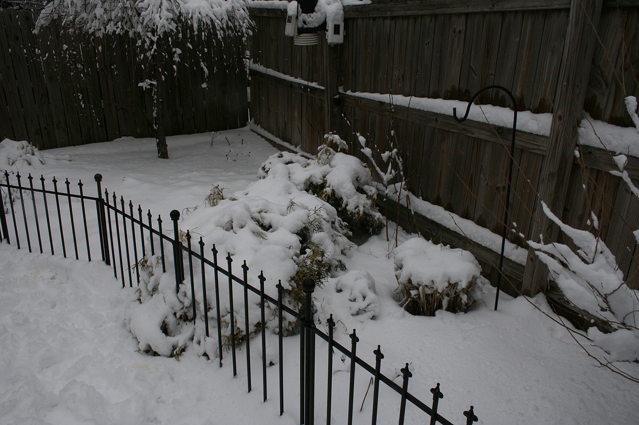
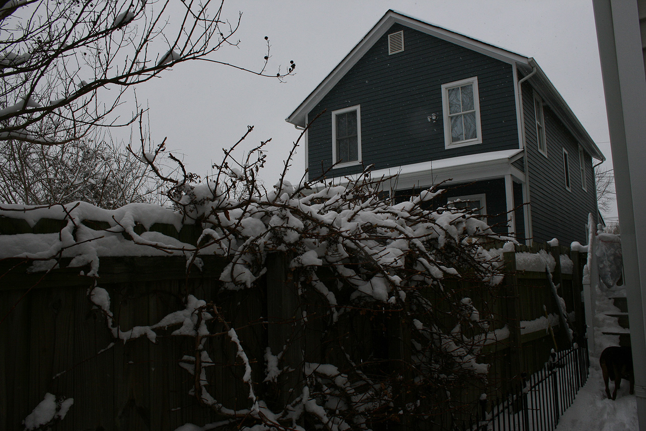
* Total Precipitation: 13.25″ of snow. 11.5″ of snow was reported at the Richmond airport. Locally heavier snow to the south and west of Richmond.
* Comments: A complex storm system tracked across the lower portion of the country, including a multi-phased low-pressure system that transitioned from the Gulf Coast to a low-pressure system off the South and North Carolina coasts. The low-pressure system then tracked ENE into the Atlantic Ocean, causing snow to overspread into Central Virginia. Snow was light to moderate for the until 2-3 PM. Two very heavy snow bands moved in during the afternoon and evening hours. Between 6:26 PM and 6:56 PM, we got 2.5″ of snow, which equates to over 3″ an hour! Reports of lightening and thunder snow were reported in Richmond my brother, David. Snow tapered off by 9 PM on Sunday night (12/9).
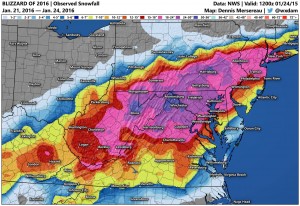
Snow impacted Oklahoma up to northern Virginia. This storm was known as “Diego” by TWC . Impacts in western Virginia and North Carolina were extreme, where totals ranged between 1 – 2 feet of snow.
Snowfall Totals & Records: