Deprecated: Optional parameter $selected declared before required parameter $args is implicitly treated as a required parameter in /home/richmon/domains/richmondcitywatch.com/public_html/rvawx_test/wp-content/plugins/archives-calendar-widget/arw-settings.php on line 178
Deprecated: Optional parameter $view declared before required parameter $args is implicitly treated as a required parameter in /home/richmon/domains/richmondcitywatch.com/public_html/rvawx_test/wp-content/plugins/archives-calendar-widget/arw-widget.php on line 480
Deprecated: Optional parameter $archiveMonth declared before required parameter $args is implicitly treated as a required parameter in /home/richmon/domains/richmondcitywatch.com/public_html/rvawx_test/wp-content/plugins/archives-calendar-widget/arw-widget.php on line 480
Warning: Trying to access array offset on value of type bool in /home/richmon/domains/richmondcitywatch.com/public_html/rvawx_test/wp-content/plugins/archives-calendar-widget/archives-calendar.php on line 64 bust forecast | RVAWX.com
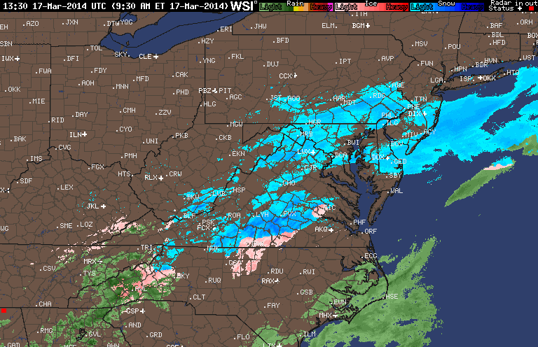
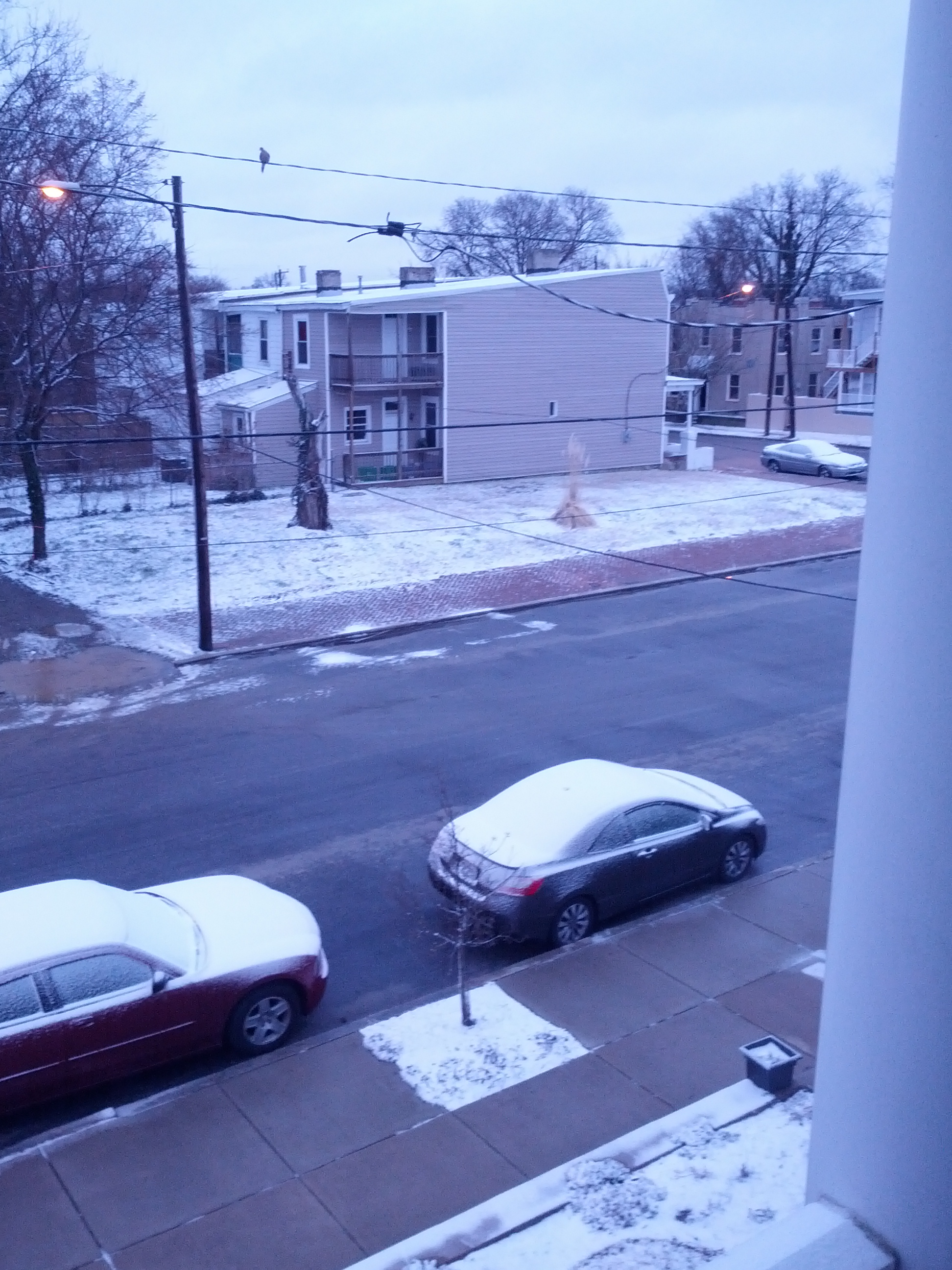
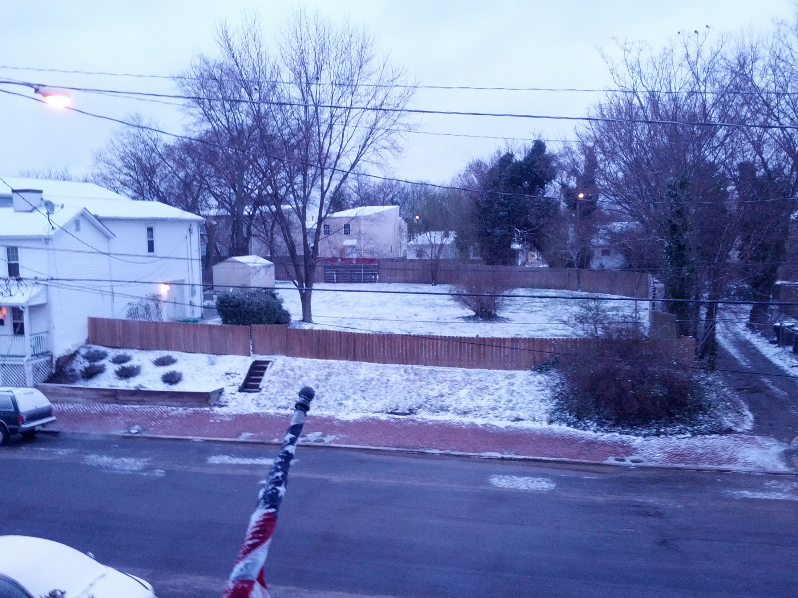
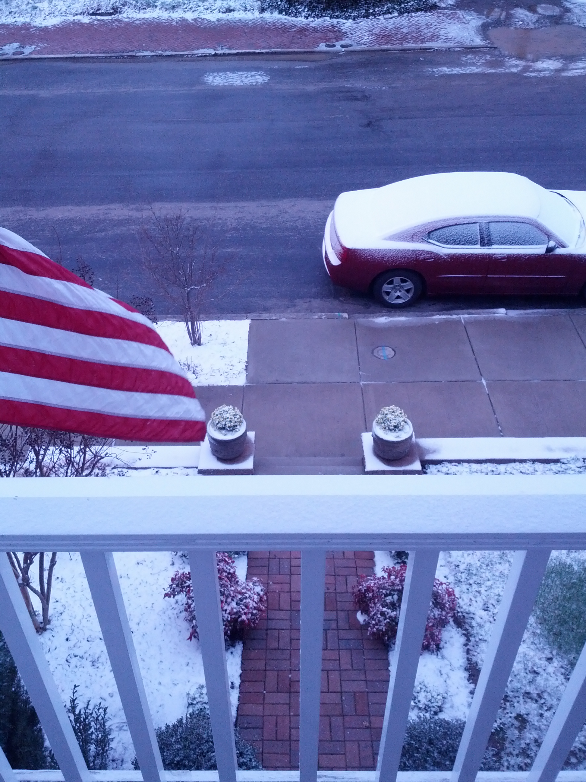
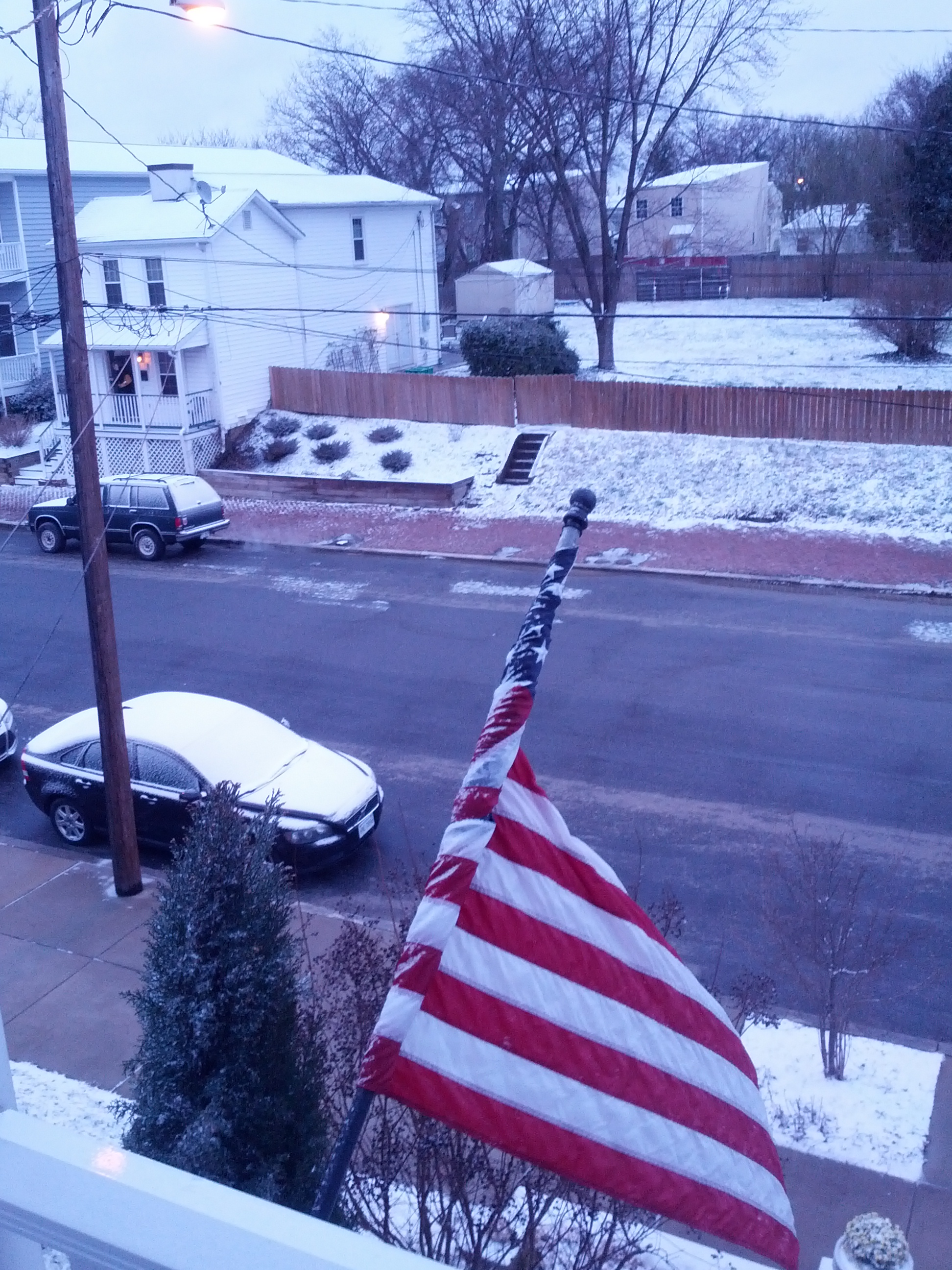
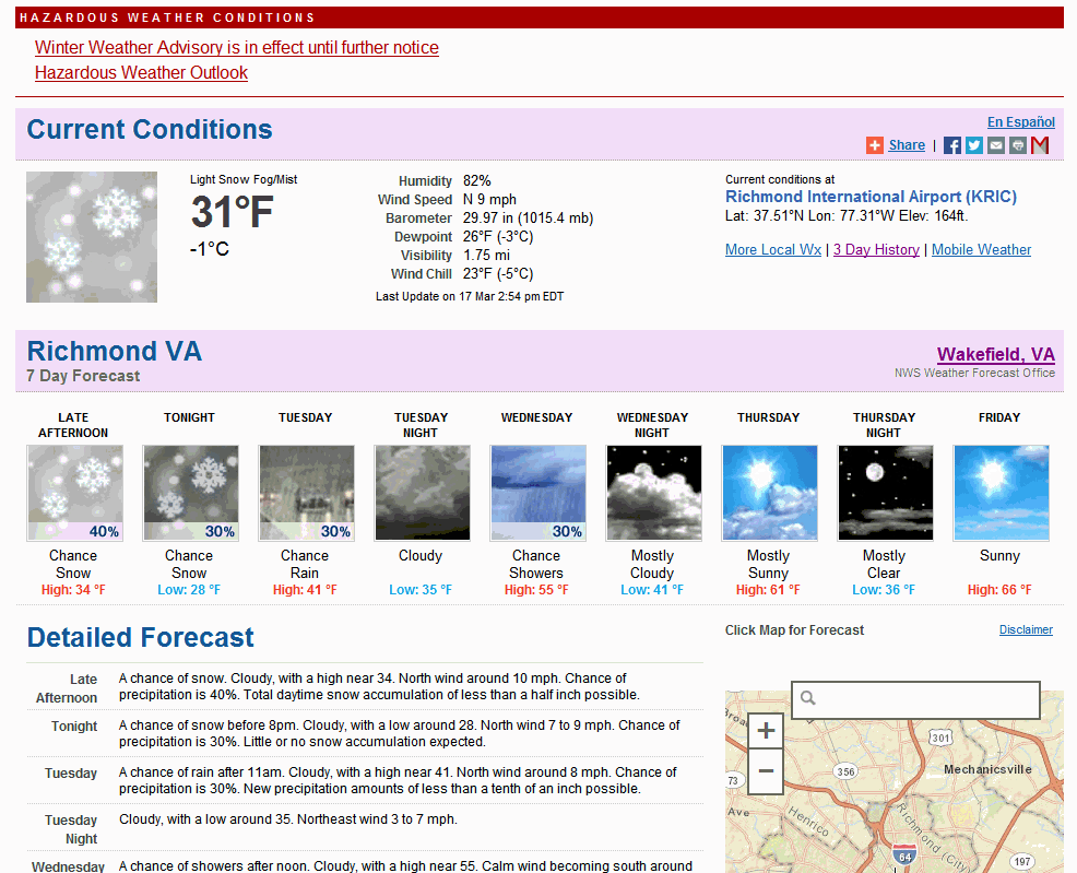
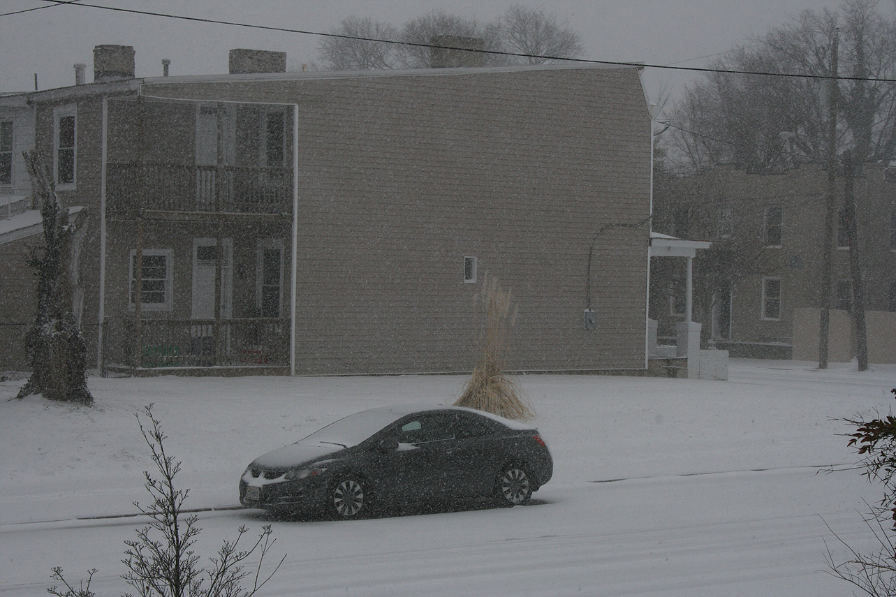
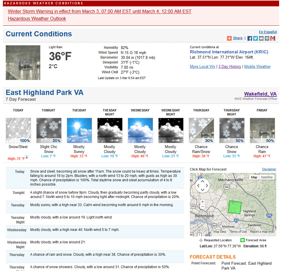
Church Hill Storm Observation Summary:
* Place – Time: Church Hill, (3/17/2014)
* Temperature: 29-35, During Event
* Winter Weather Watch/Warning/Advisory: Watch & Advisory
* Closings: None
* Predicted Totals: Ranged from 2-4” initialed, downgraded to less than 1” on Sunday night.
* Road Conditions: All roads were primarily wet during the event.
* Precipitation Description: A mix of rain to sleet, followed by freezing rain, sleet and snow during the overnight hours. Additional freezing rain and sleet fell during the morning hours of 3/17/2014.
* Total Precipitation: Approximately 0.5″ of snow, sleet and ice accumulation. Snow, sleet and freezing rain accumulated on elevated surfaces. 0.6″ was reported at Richmond airport.
* Comments: A low sliding through the Tennessee Valley towards the coast of Virginia delivered a late season winter storm event to the Richmond area. A cold air wedge developed on Sunday afternoon that slowly changed rain over to sleet during the late evening and overnight hours. Periods of sleet, snow, freezing rain and rain continued through the morning and early afternoon hours. Impacts from snow and ice to the Richmond area were minimal from this storm. However, areas to the north saw increased snow totals between 2-8” towards Fredericksburg & DC.
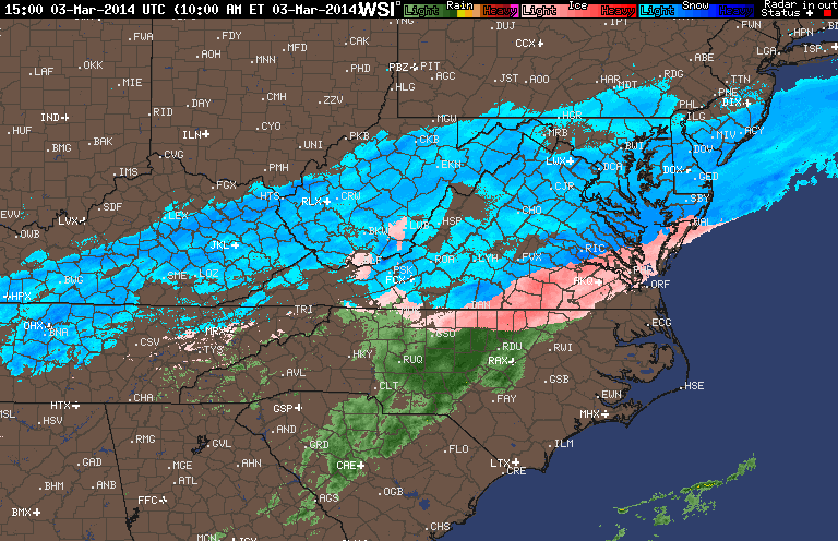
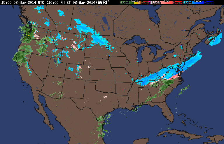
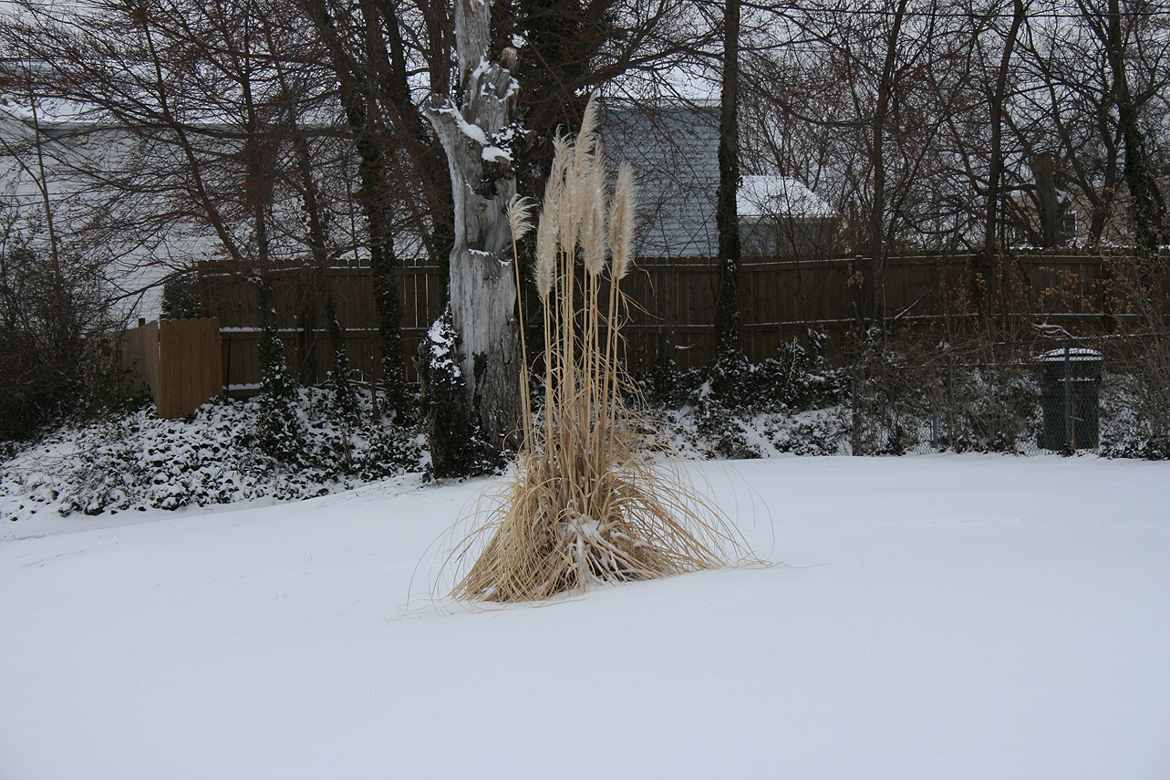
Church Hill Storm Observation Summary:
* Place – Time: Church Hill, (3/3/2014)
* Temperature: 24-36, During Event
* Winter Weather Watch/Warning/Advisory: Warning
* Closings: Chesterfield Government Closed on 3/3/14 at 10:30 AM, Delayed opening on 3/4/14 for 10:30 AM.
* Road Conditions: All roads covered during event.
* Precipitation Description: Snow, sleet, and rain. Rain and sleet began around 6:30 AM and quickly turned over to all sleet by 7 AM. Snow began to mix in with the sleet by 8 AM. All snow by 9 AM where heavy snow fell for almost 2 hours. Snow tapered off by noon as a large dry slot infiltrated the area. Flurries and light snow continued until 4 PM with no real additional accumulation.
* Total Precipitation: 3.1″. Approximately 0.1″ of sleet. 3.0″ inches of snow was reported at the airport on 3/3/14. Snowfall totals were fairly consistent across central Virginia with totals between 2-5″.
* Comments: Initial forecast for the storm shifted the axis of snow from the Midwest/upper mid-Atlantic to central Virginia on Saturday (3/1). Snow was expected to develop along a backdoor cold front that would create a cold air damning wedge. Afternoon high temperatures reached 72 on Sunday in Richmond, with the temperature plummeting to 11 on March 4th. Sleet, moderate to heavy at times, quickly transitioned to heavy snow. The dry slot quickly stopped the snow by midday, making the higher forecast totals of 7-8″ unattainable. Even higher forecasts of 8-12″ towards Fredericksburg busted due to this dry slot. The sun peaked out briefly before the sun set on 3/3/2014.