Church Hill Storm Observation Summary:
* Place – Time: Church Hill, (1/27/2015)
* Temperature: 29-34, During Event
* Winter Weather Watch/Warning/Advisory: Advisory, which was issued the day before the event for a dusting to 2”
* Closings: All local school districts closed, Chesterfield County Government had no delayed opening.
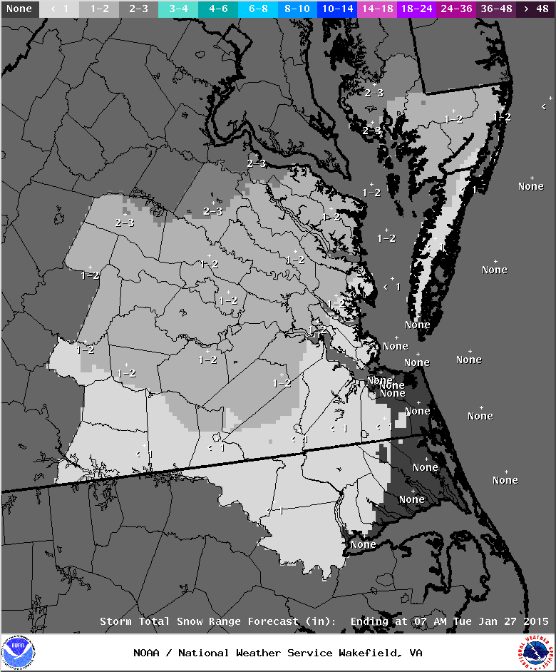
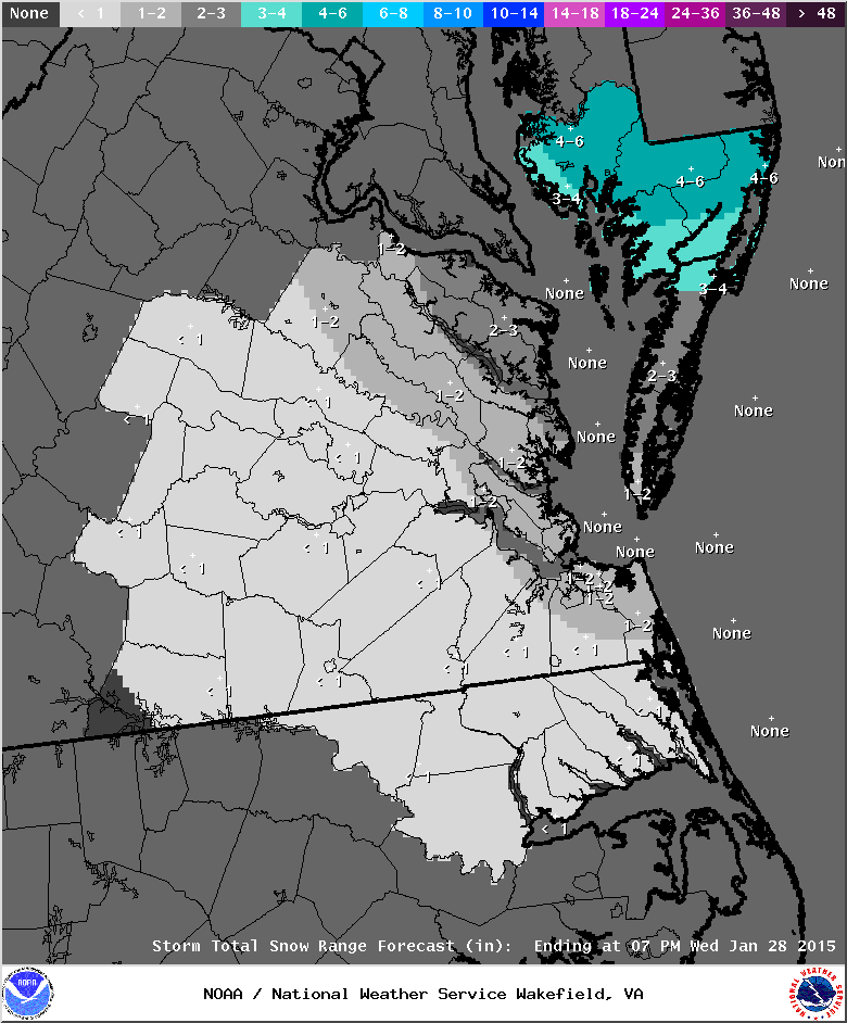
* Predicted Totals: Between a dusting and 2” the day before the event. On the evening of the 26th, precipitation totals were cut back to ½” at most for metro Richmond.
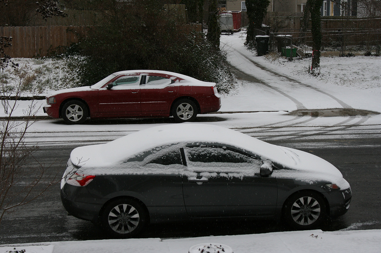
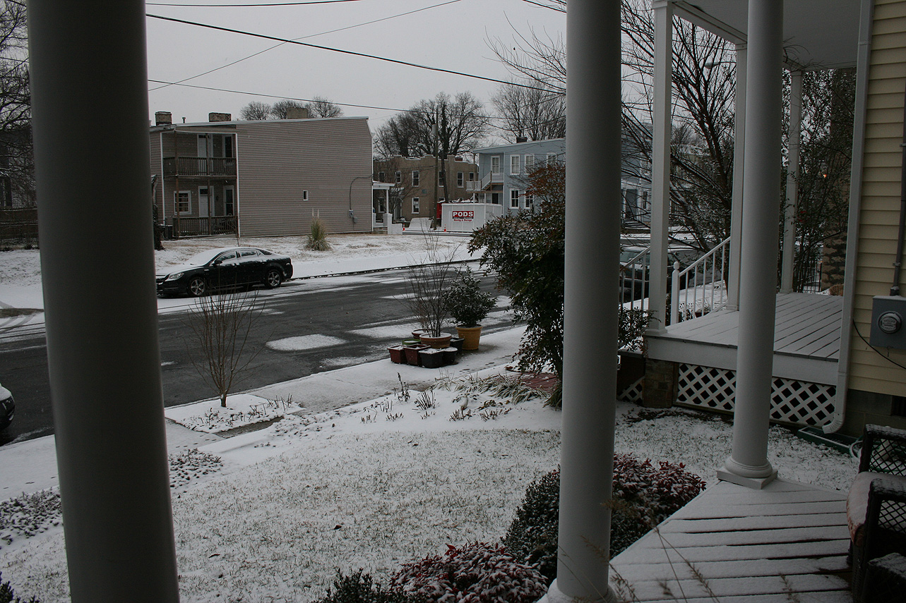
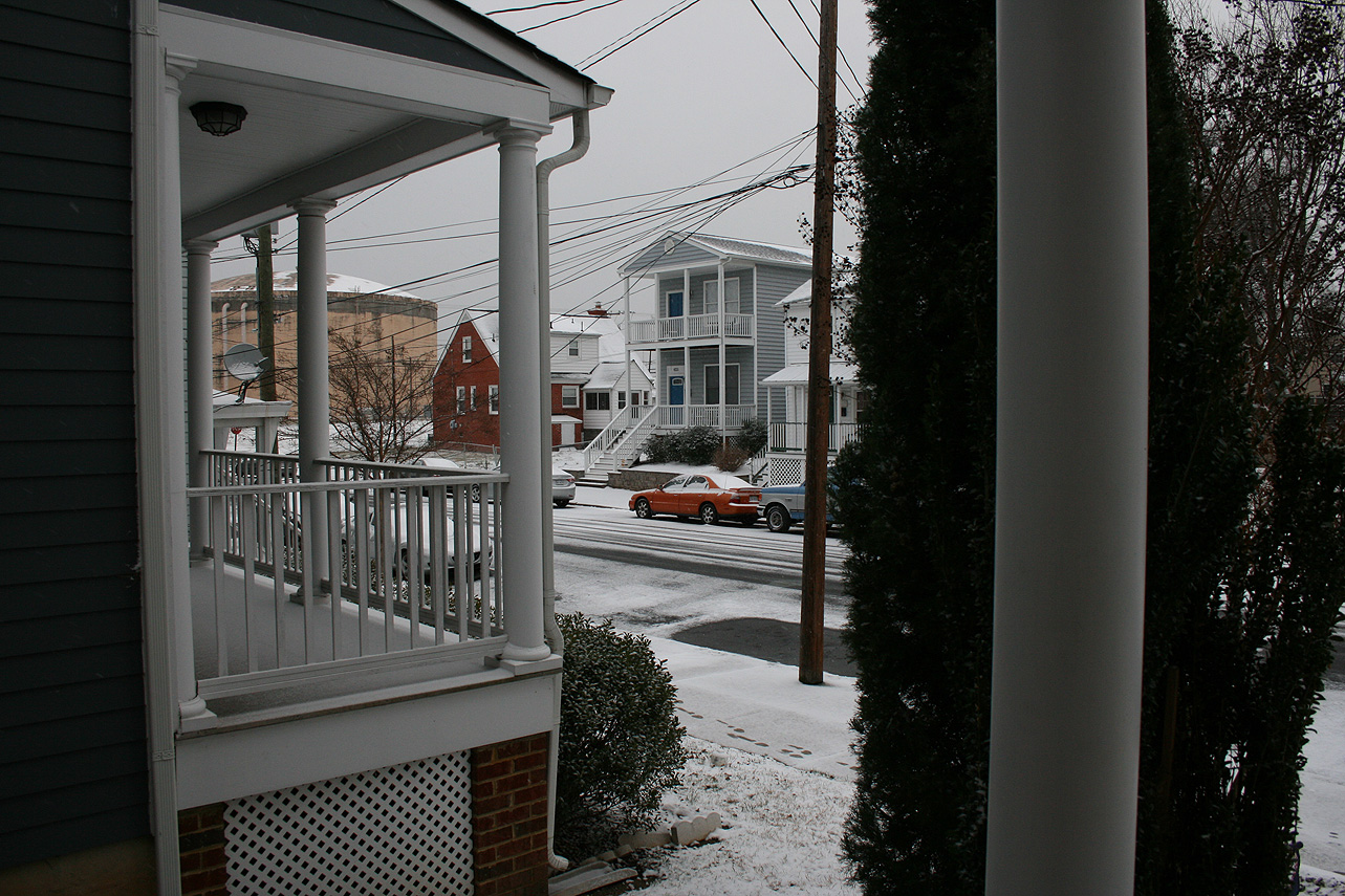
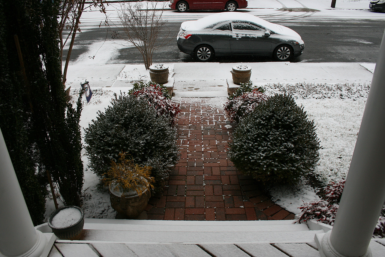
* Road Conditions: All roads had varying amounts of snow accumulation on them. Local streets were covered during the first few hours in the morning.
* Precipitation Description: Snow, which began at 10 AM on Monday and ended around 5 PM on Tuesday.
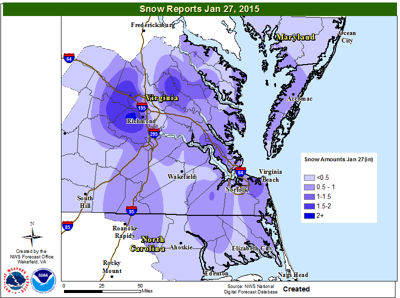
* Total Precipitation: Approximately 0.6″ of snow. 0.2″ of snow was reported at the Richmond airport. Locally heavier snow to the south and west of Richmond (1.8” at Chesterfield Government Center).
* Comments: A potent Miller B system, dubbed “Juno”, developed off the Delmarva coast on Monday evening and produced a period of snow showers over metro Richmond during Monday evening with little accumulation. As the low strengthened and moved to the northeast, a band of heavier snow showers redeveloped during the morning hours on Tuesday 1/27. The heaviest snow and accumulation occurred before 9 AM. Snow showers and flurries occurred during the rest of the day until sunset. Impacts from snow and ice to the Richmond area were moderate from this storm.
Snowfall Totals:
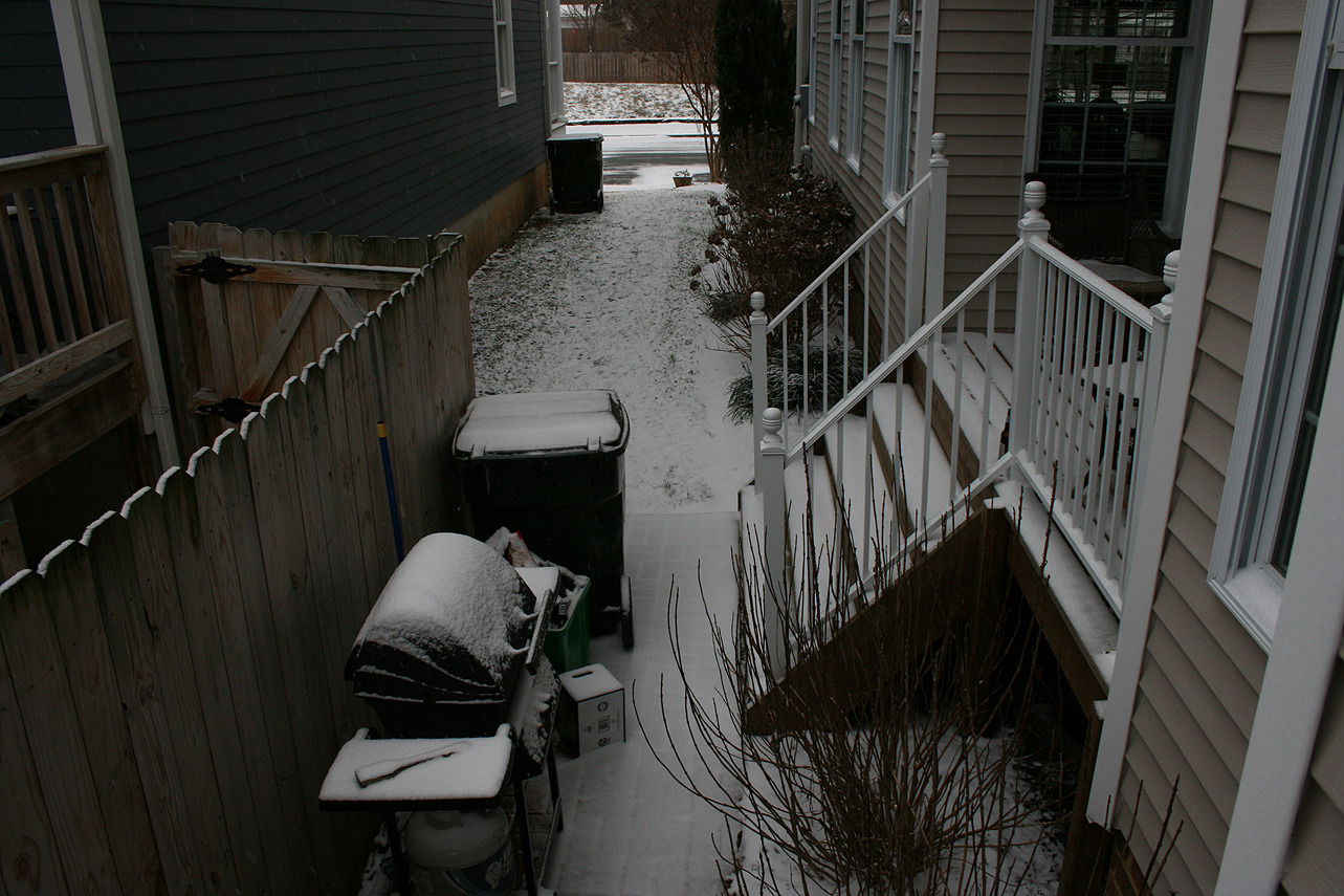
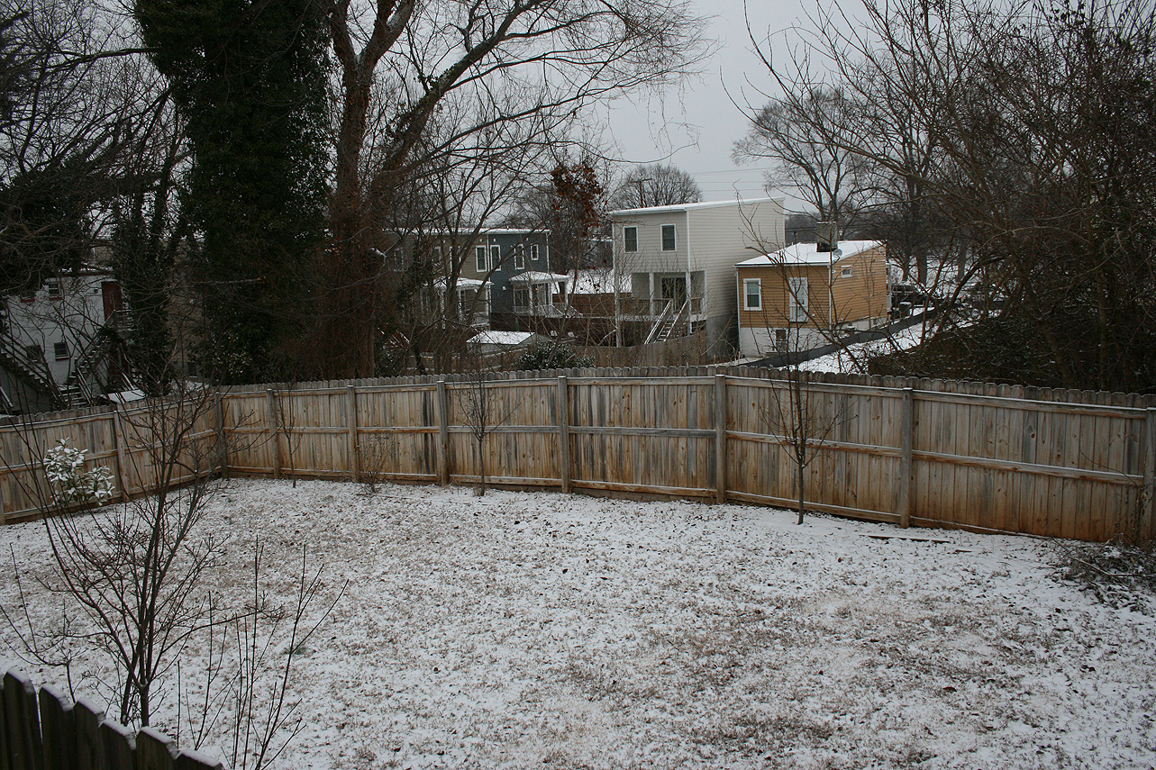
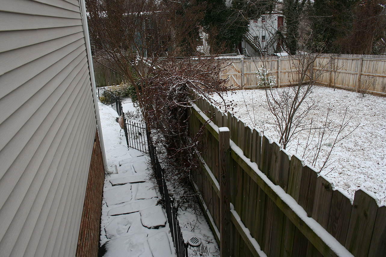
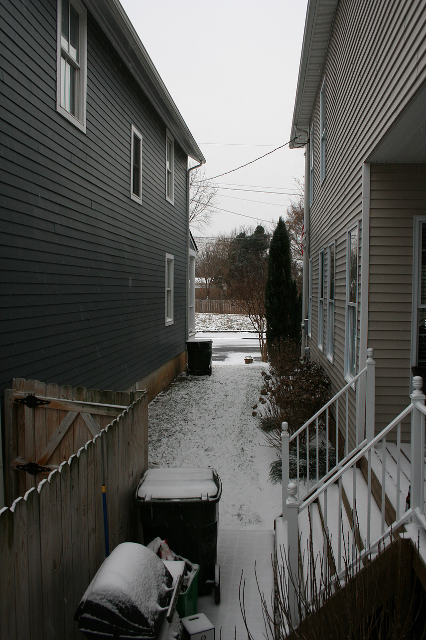
Photos: