Church Hill Storm Observation Summary:
* Place – Time: Church Hill, (1/22 – 1/23/2016)
* Temperature: 26-28, During Event
* Winter Weather Watch/Warning/Advisory: Watch & Warning
* Closings: All local school districts were closed on 1/22, 1-25 thru 1/27, Chesterfield County Government was closed on 1/22 & 1/25-26.
* Predicted Totals: Between 7-14″ before and the morning of the storm.
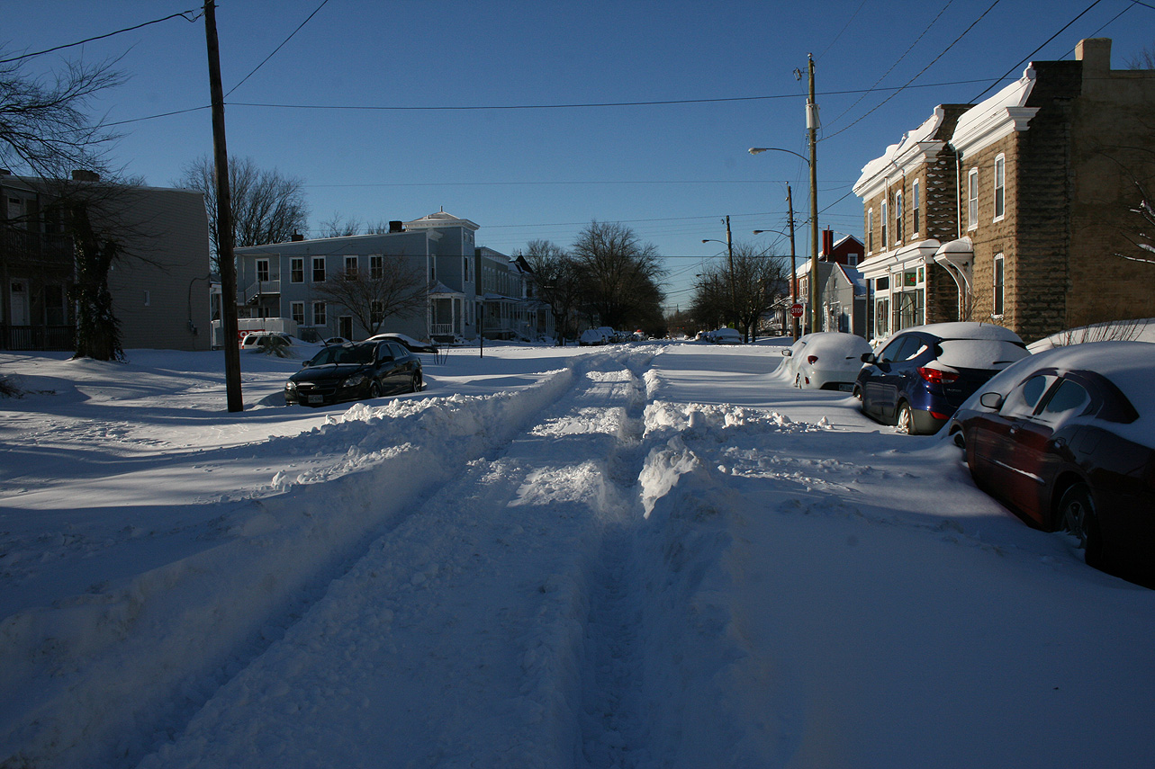
* Road Conditions: All roads had substantial snow and ice accumulation on them.
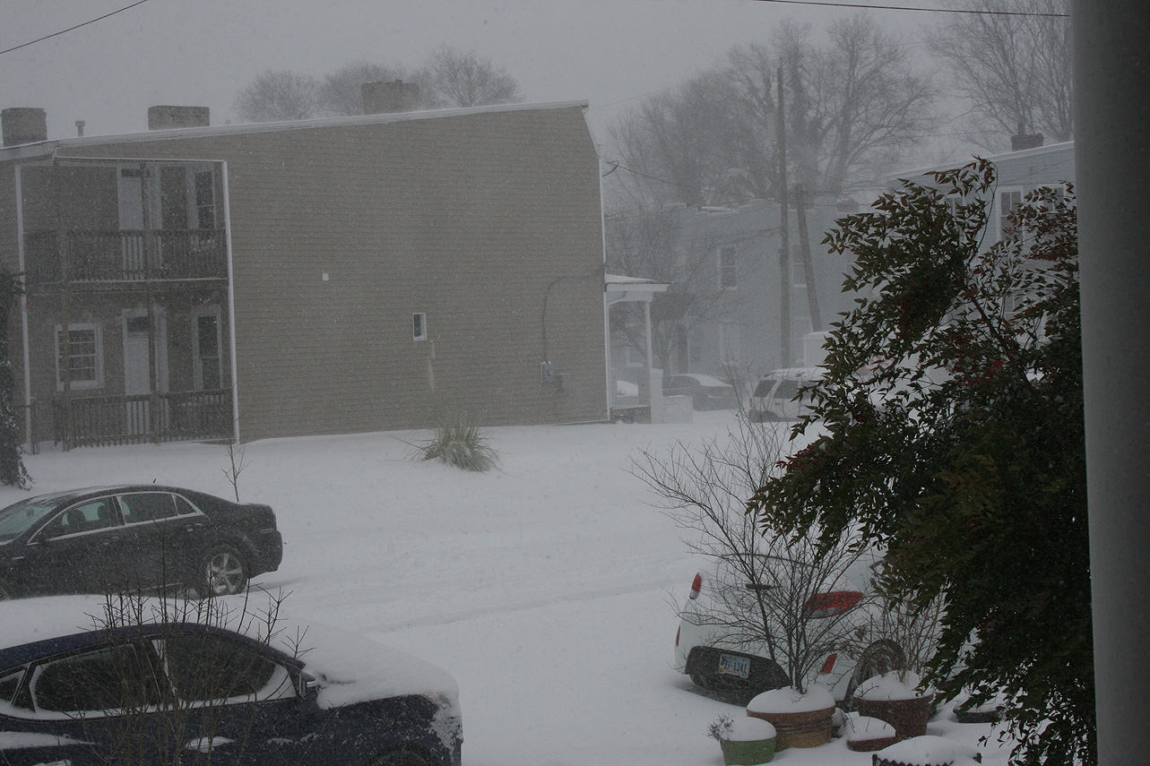
* Precipitation Description: Snow and sleet. Snow began around 9:30 AM to 10:00 AM on 1/22. Snow transitioned to sleet around 5:30-6 PM on 1/22. Snow began once again around 7 AM on 1/23.
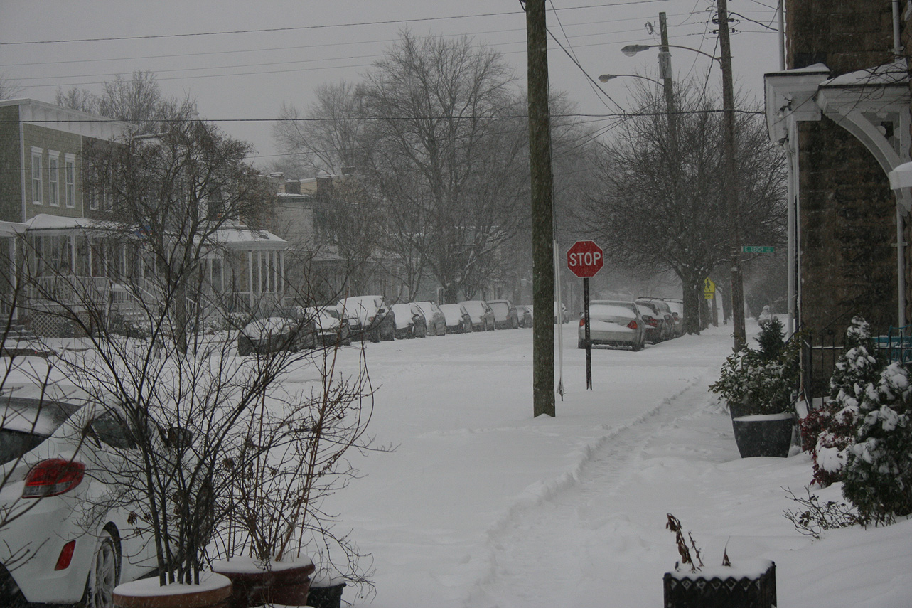
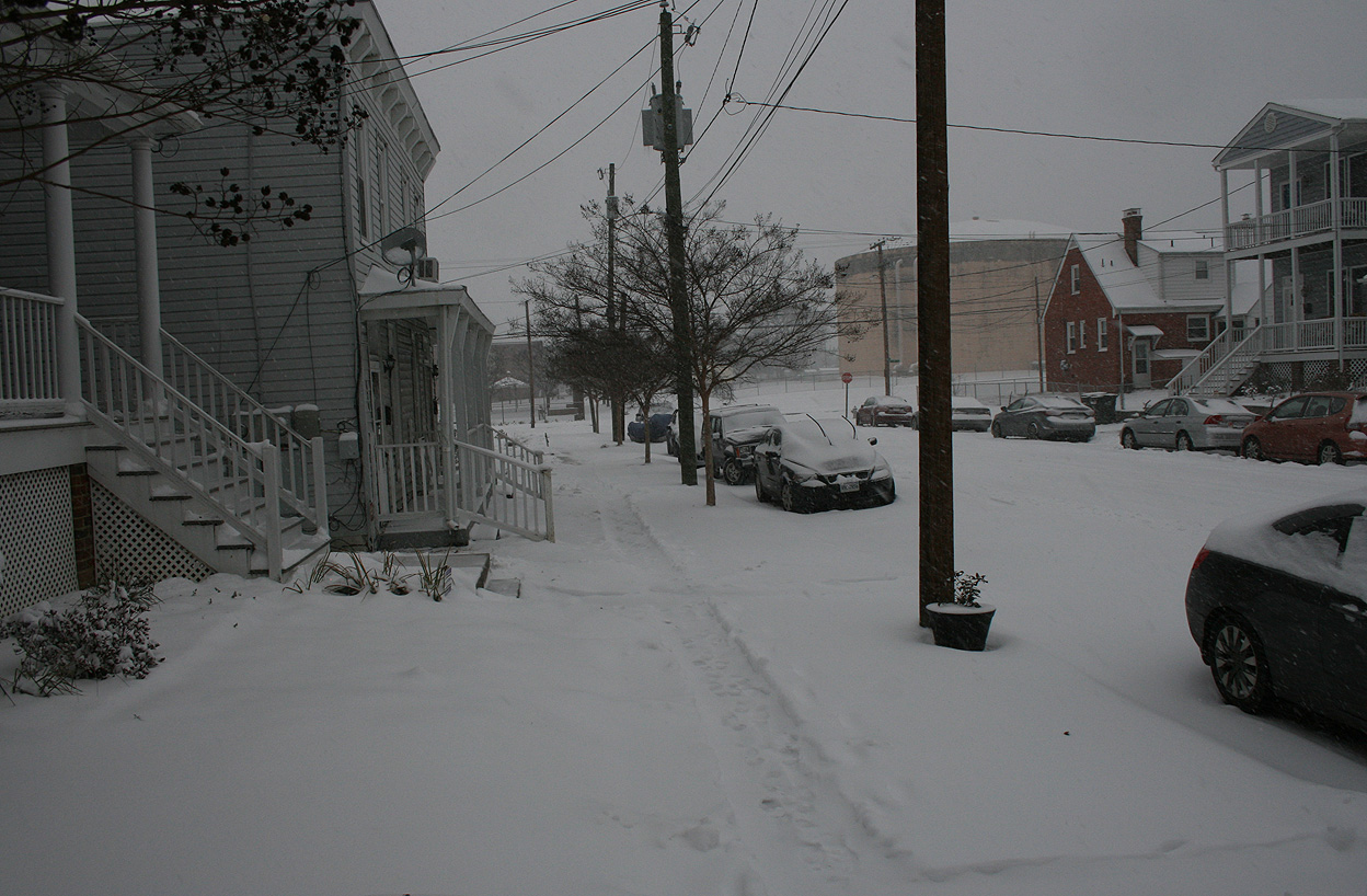
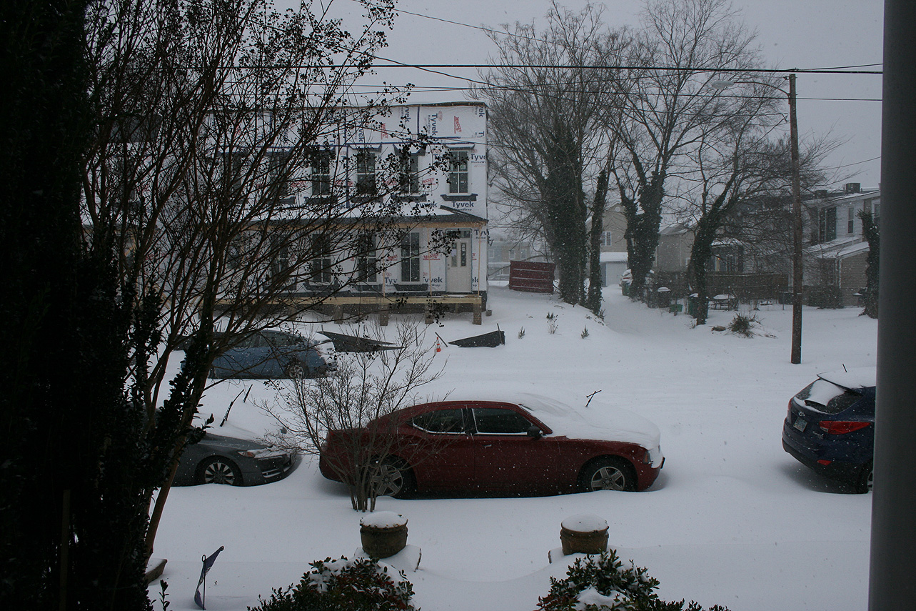
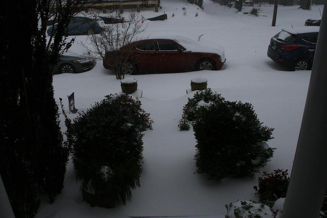
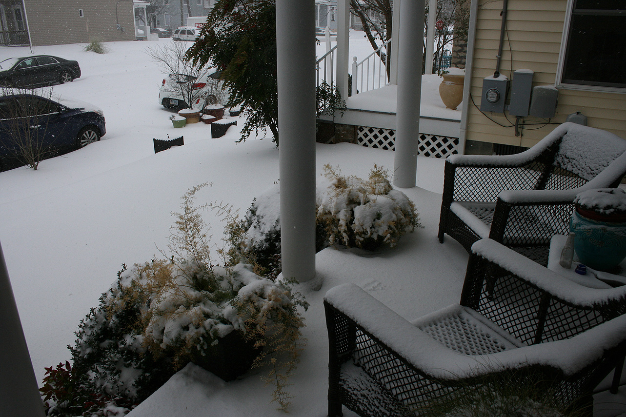
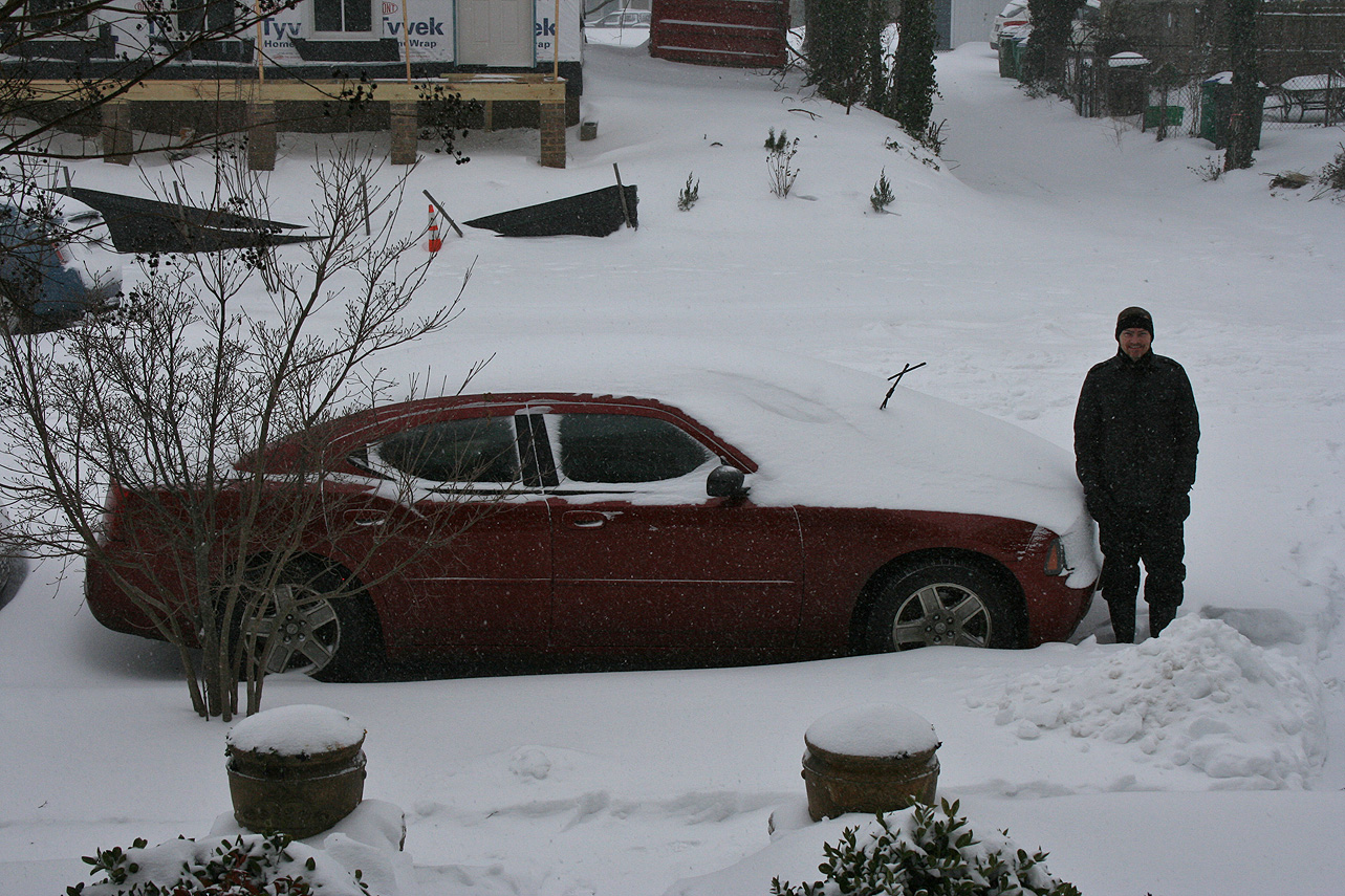
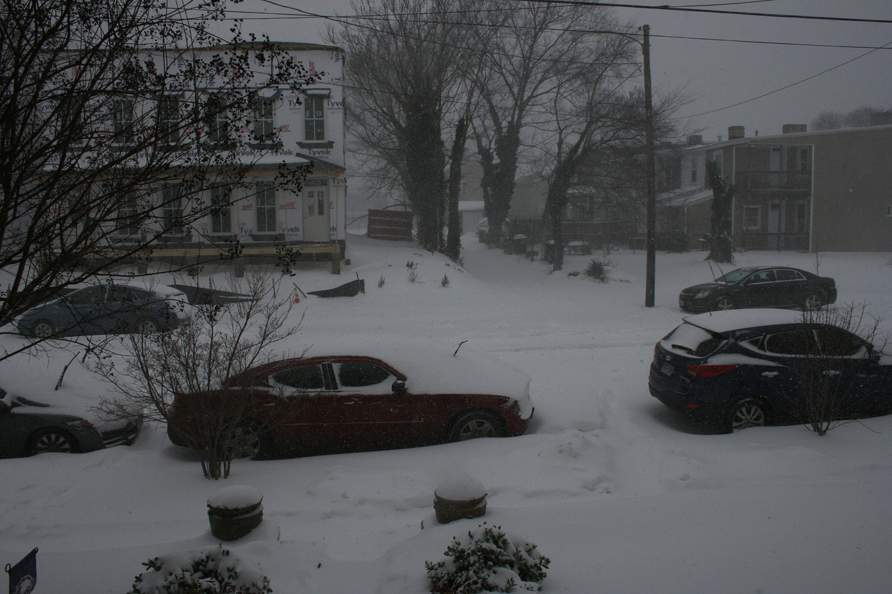
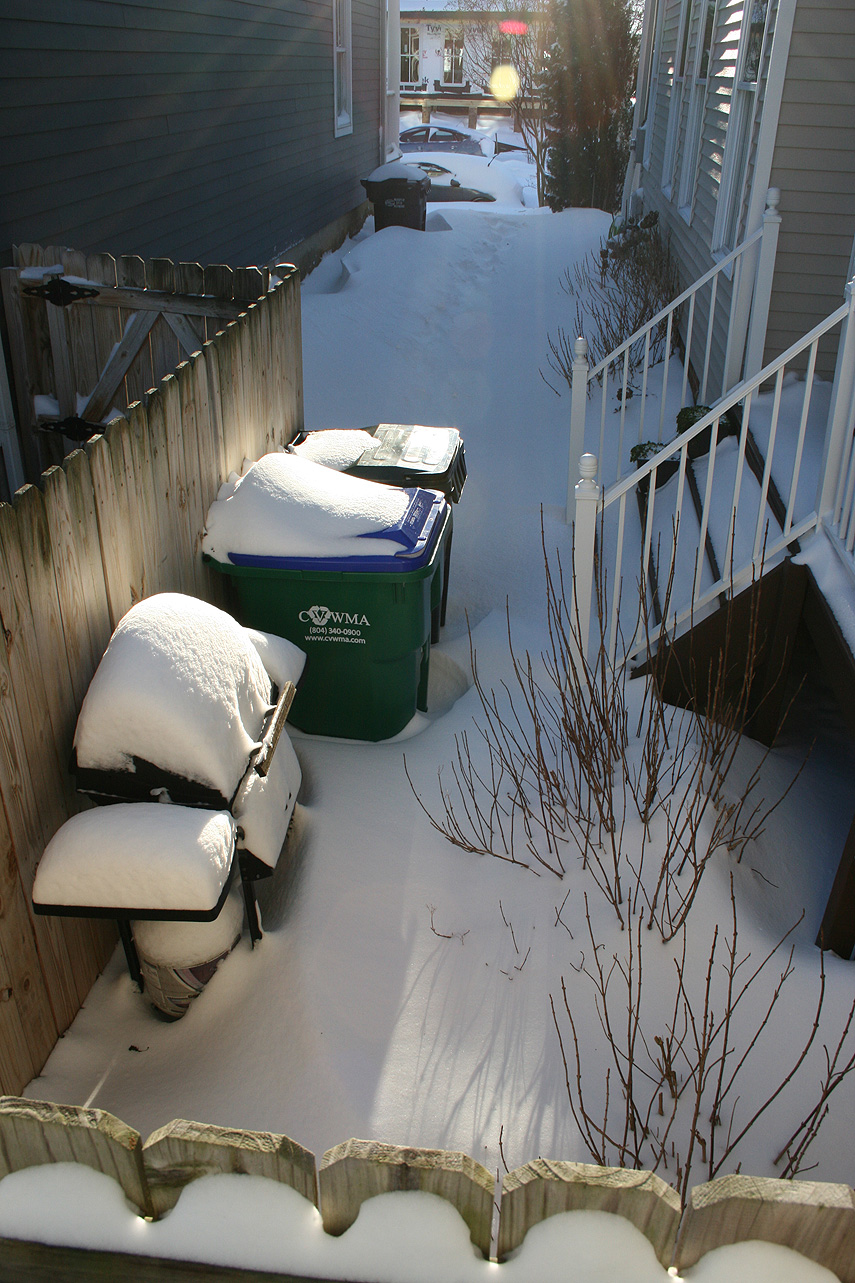
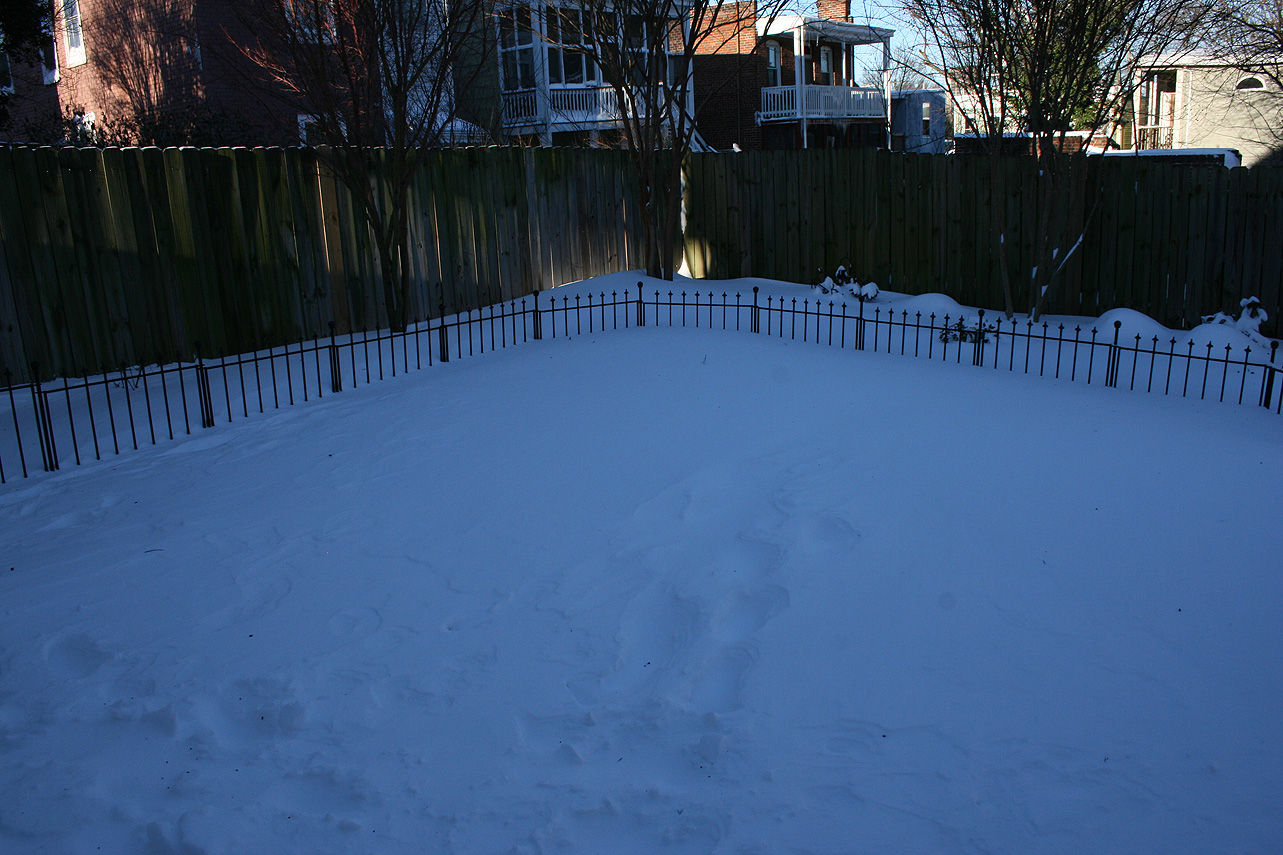
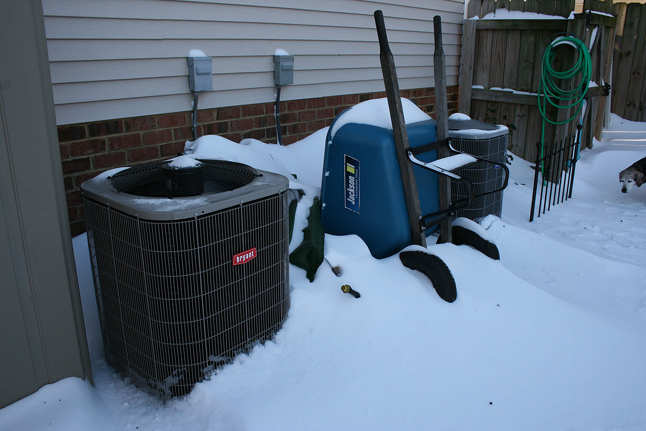
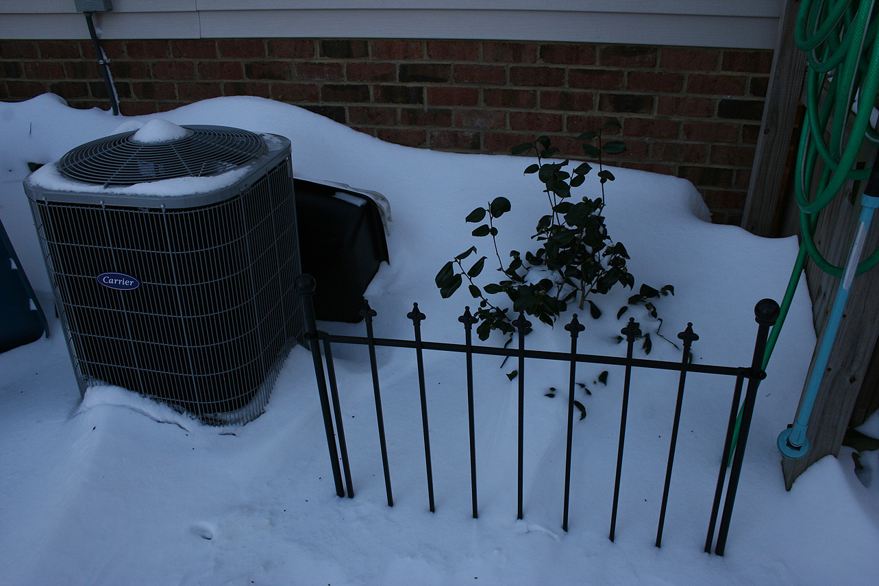
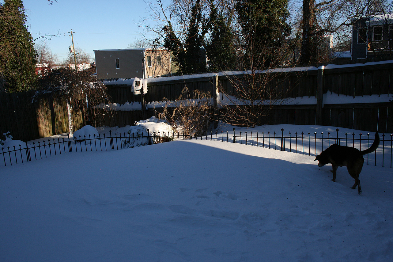
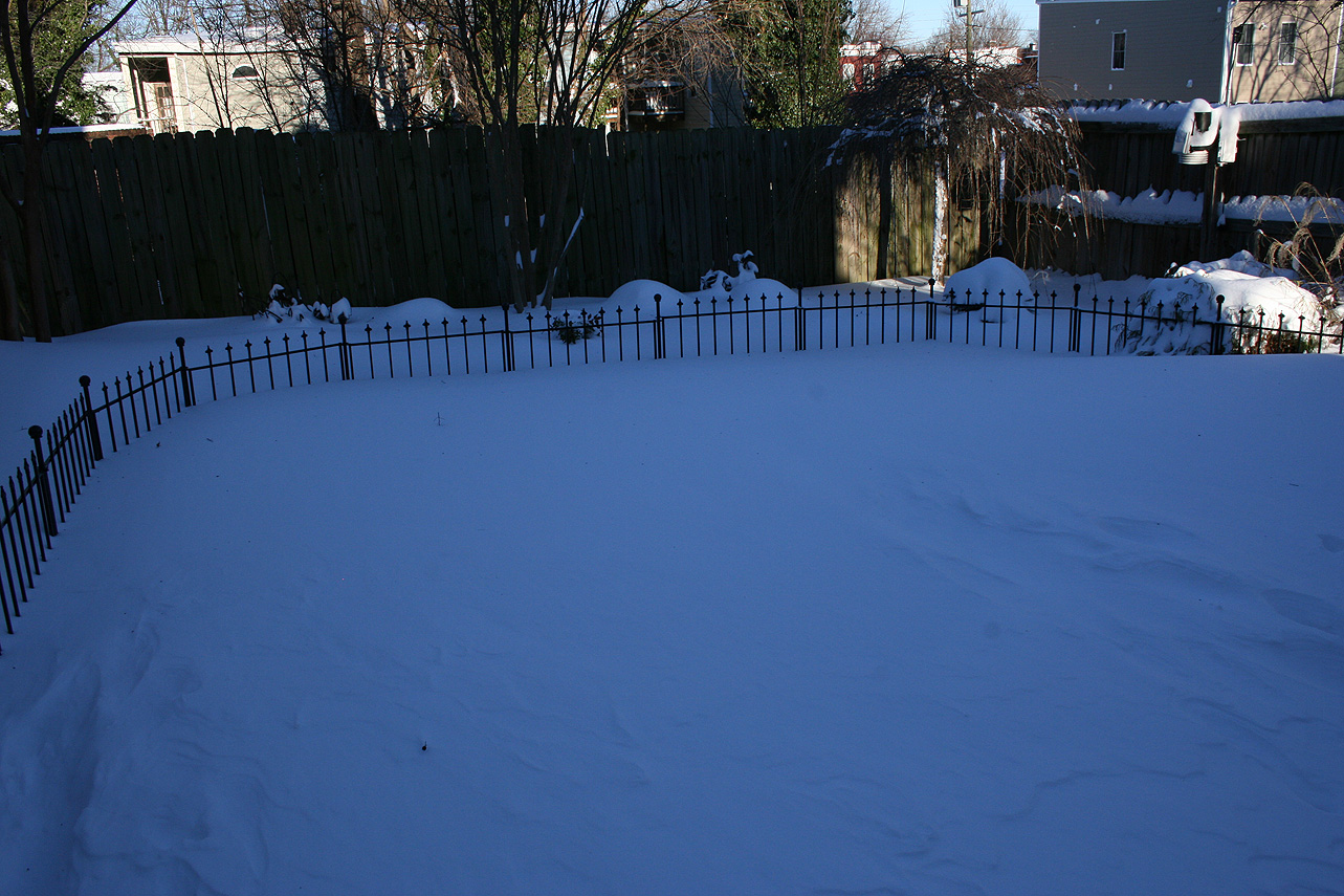
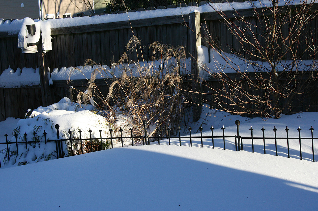
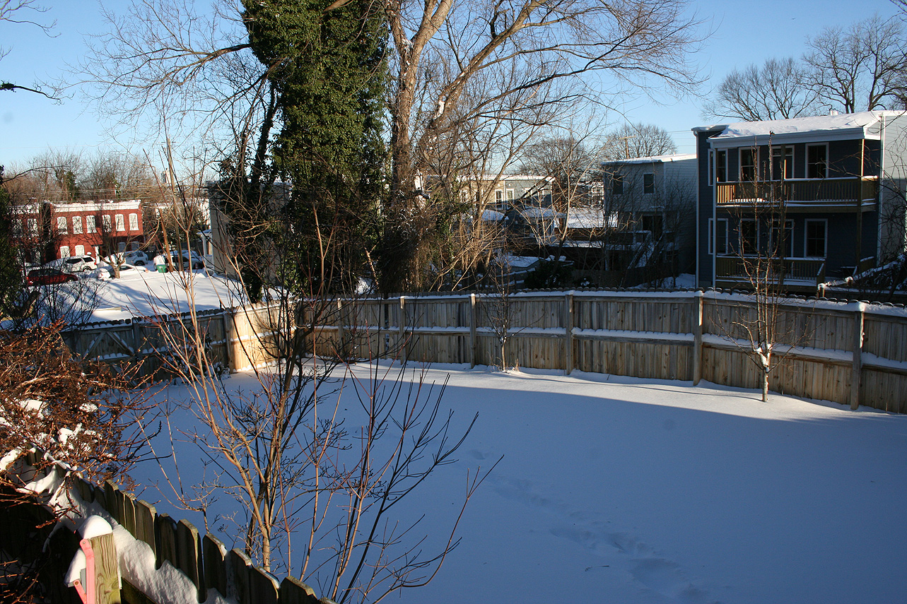
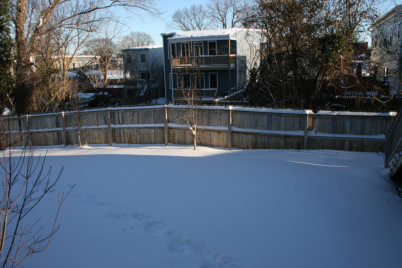
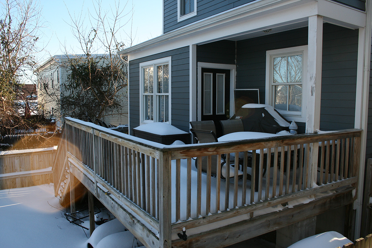
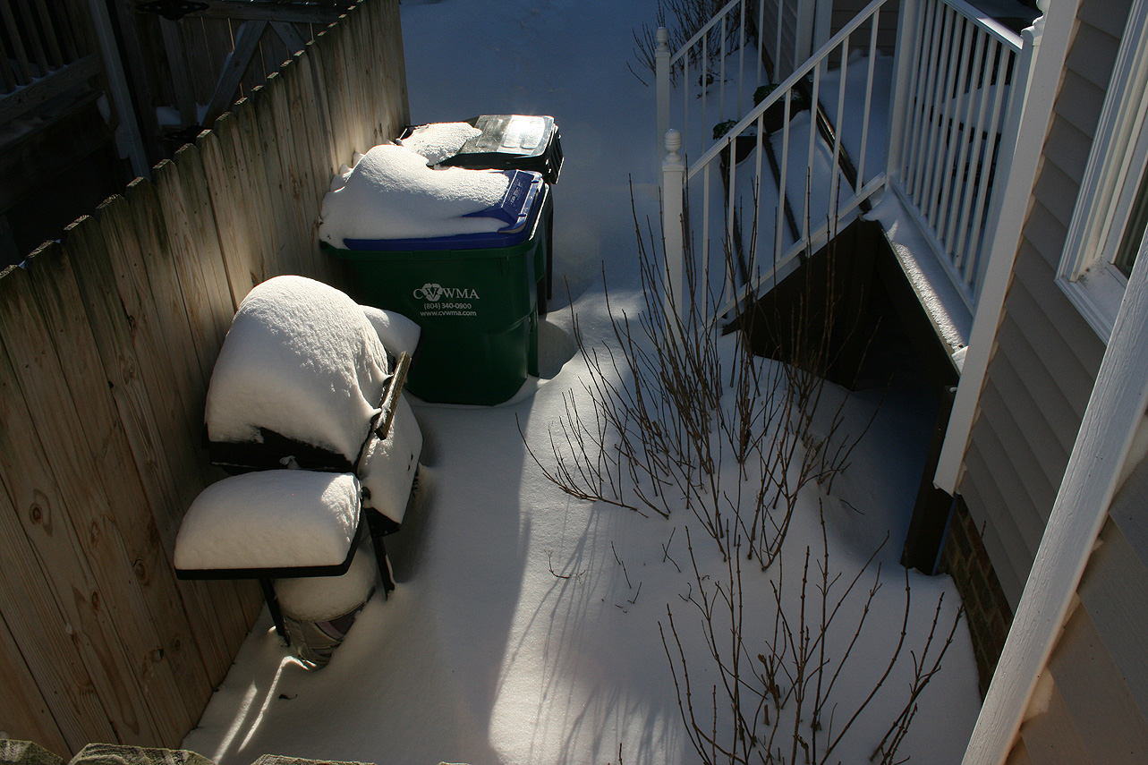
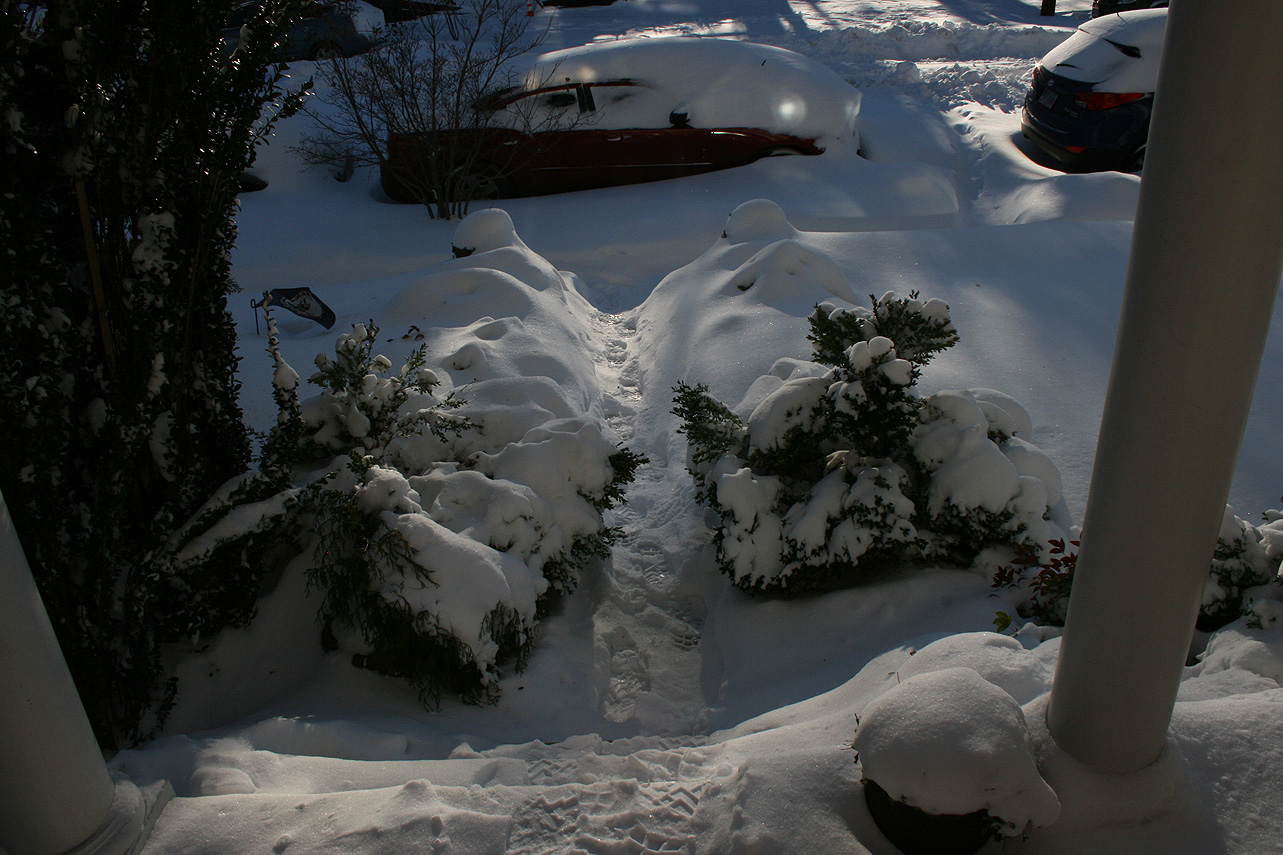
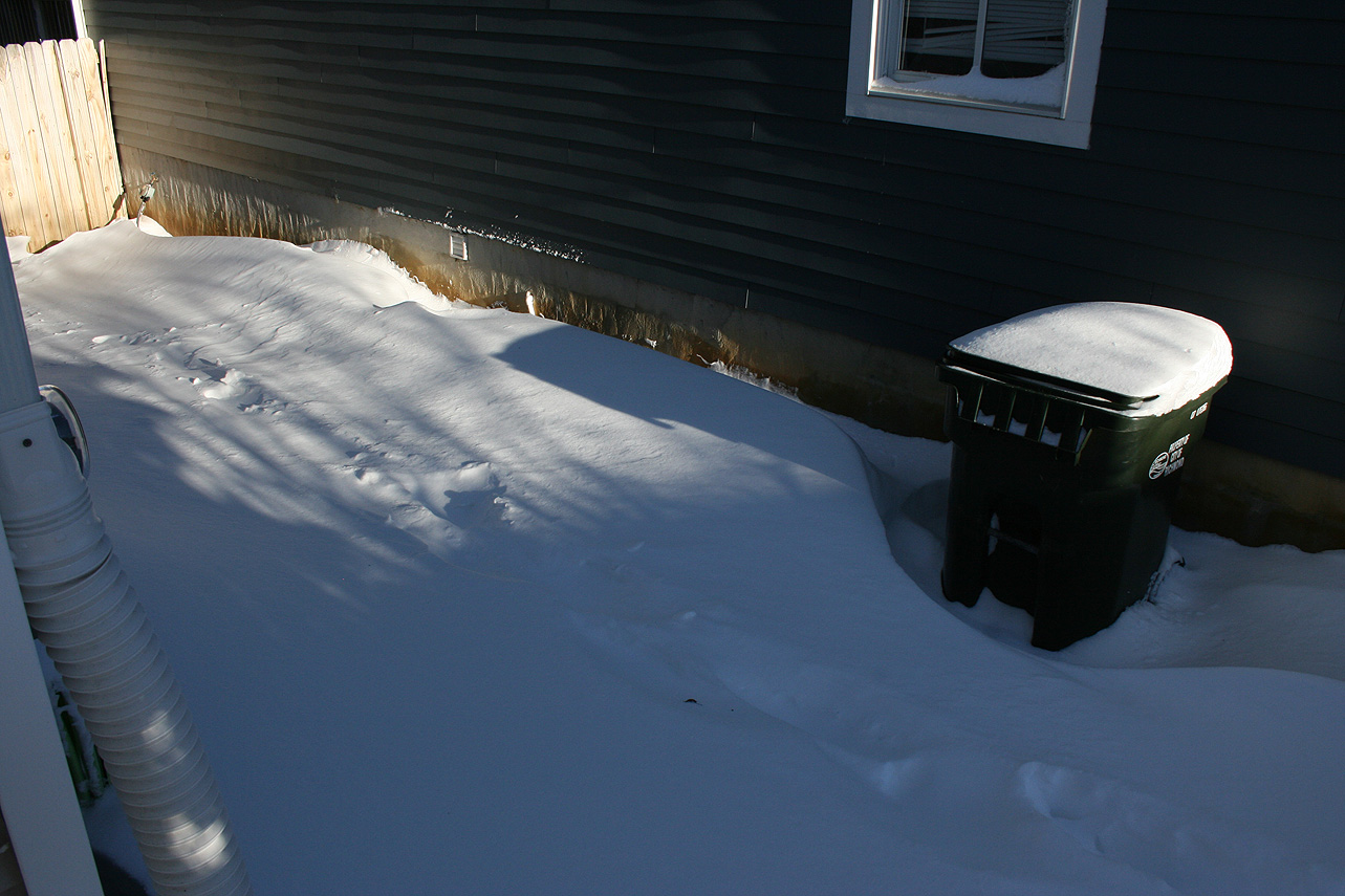
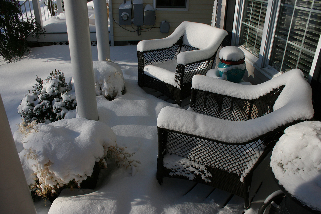
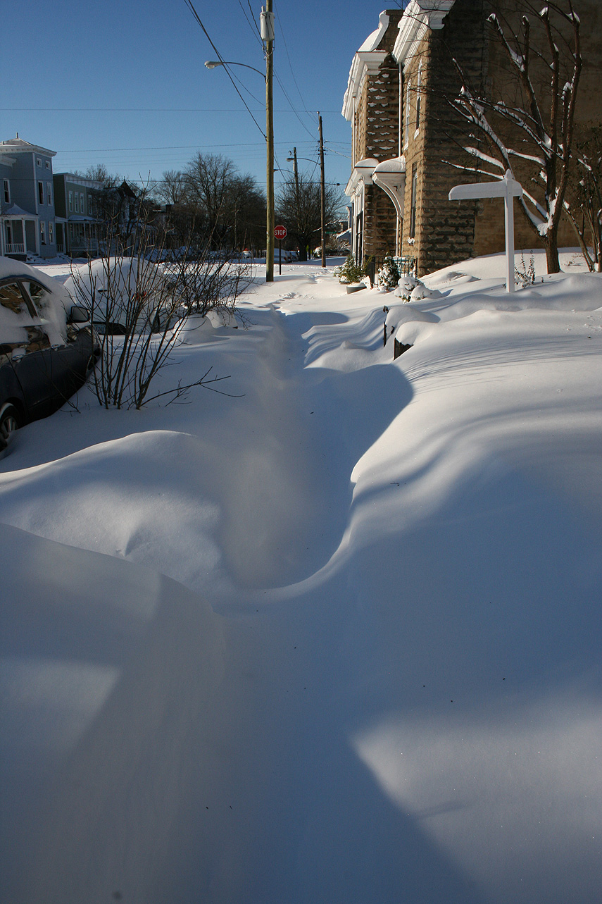
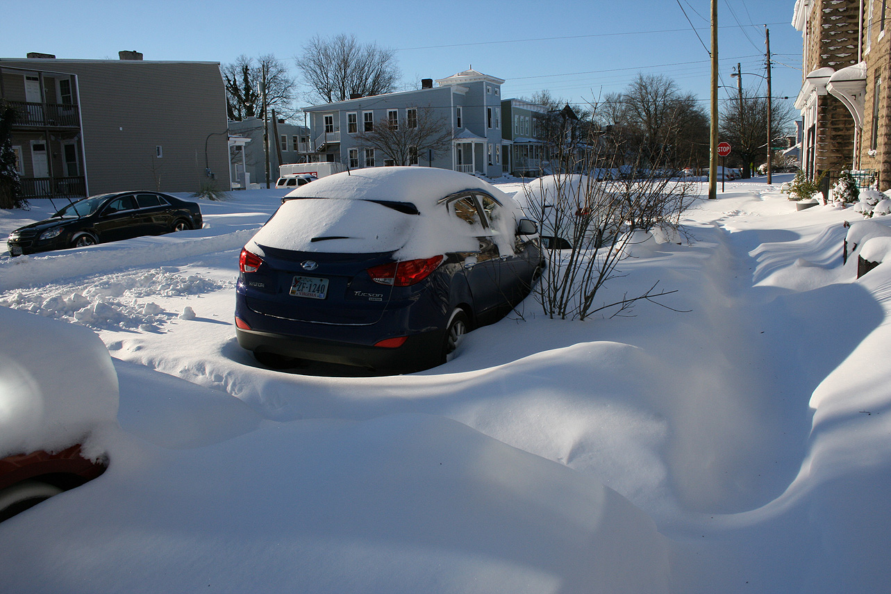
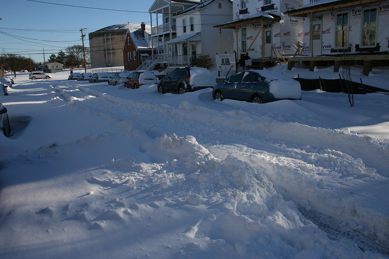
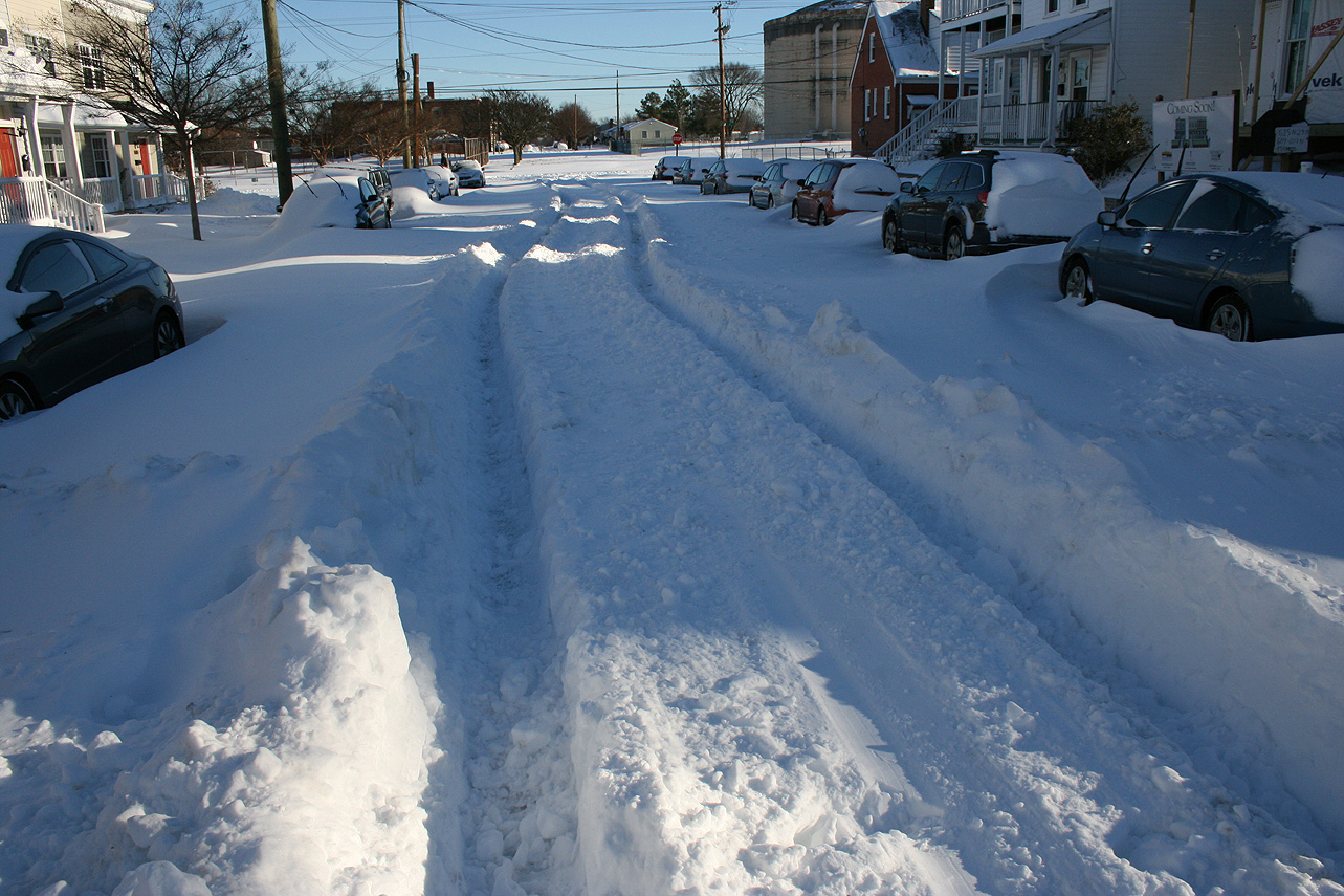
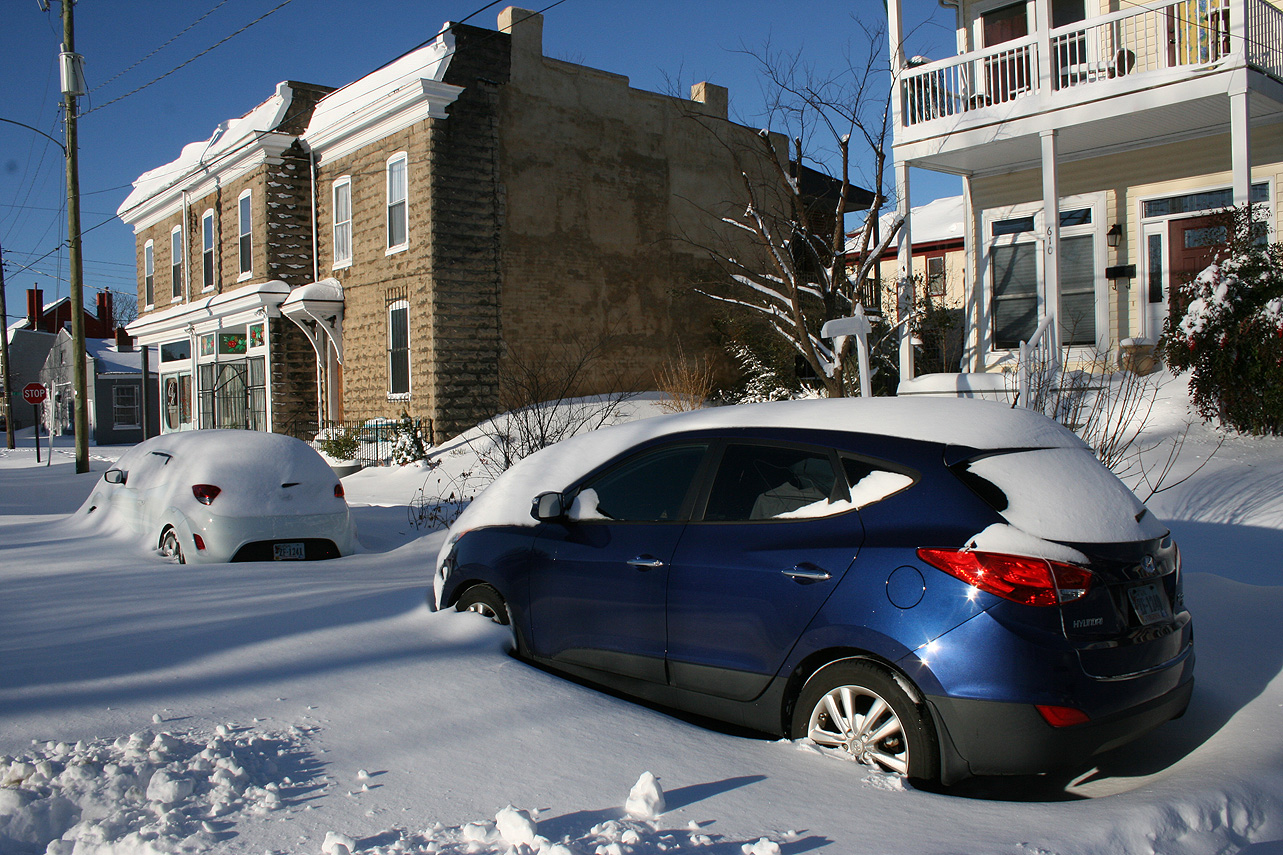
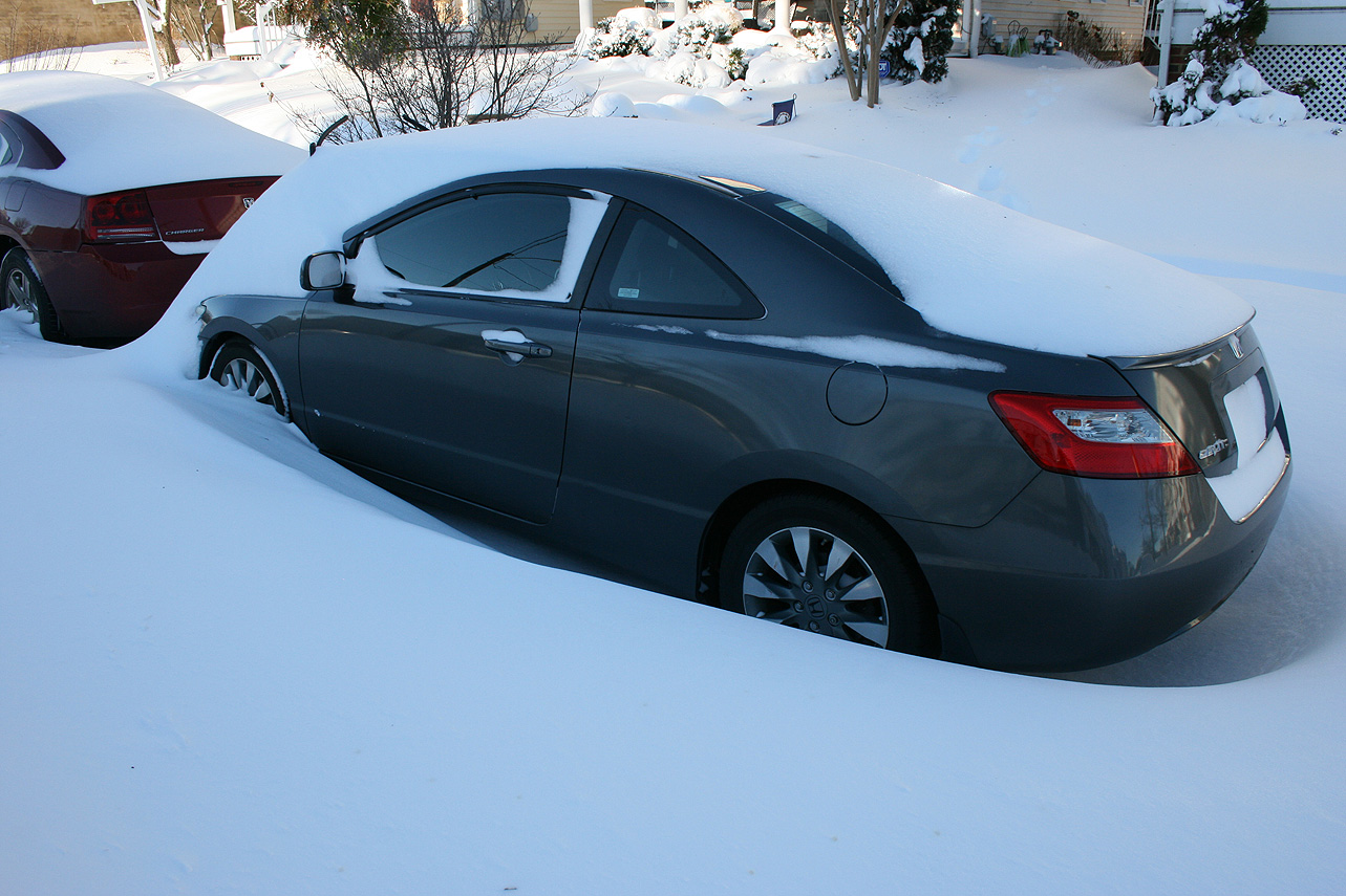
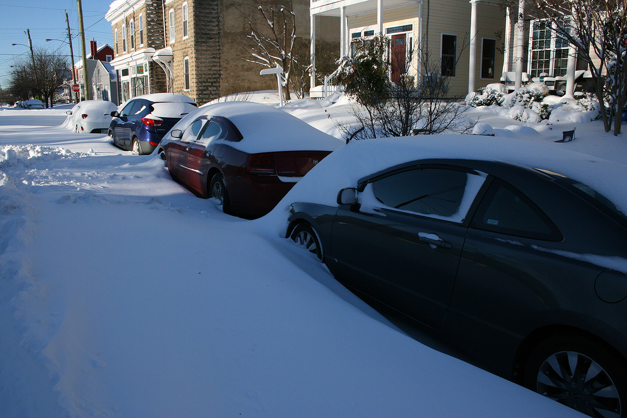
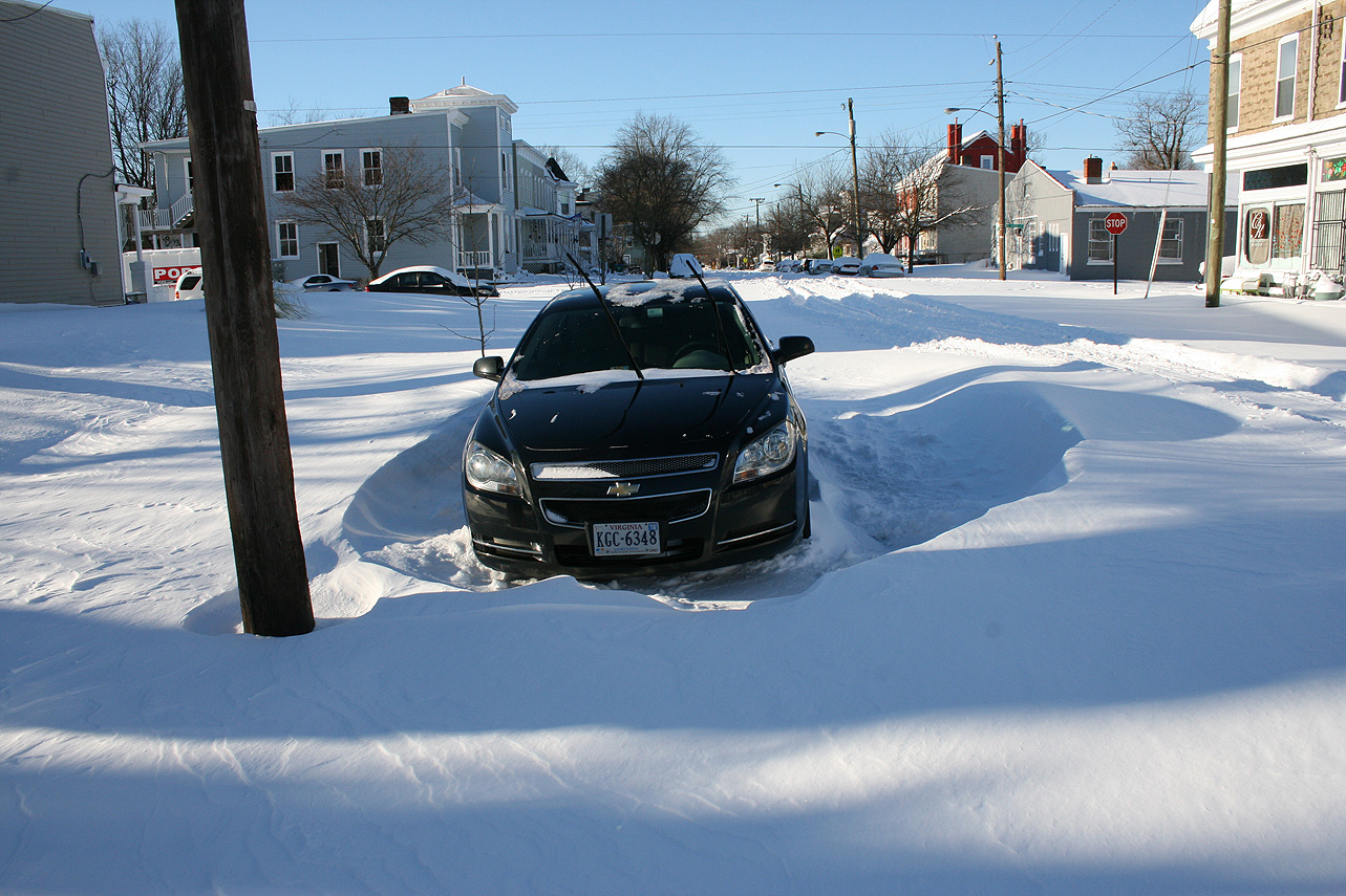
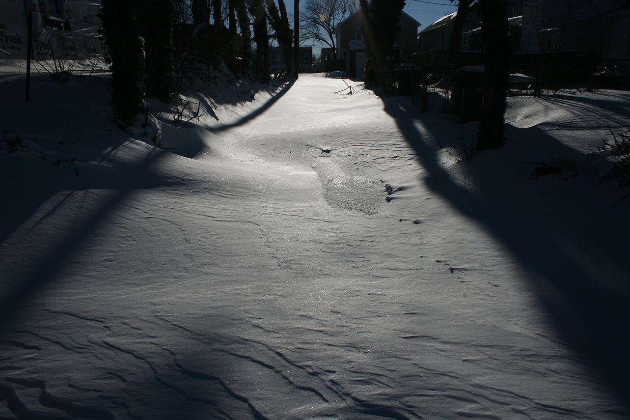
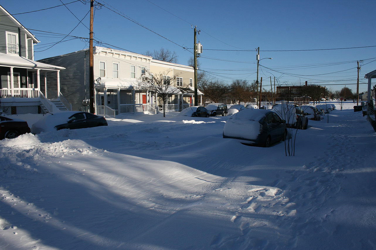
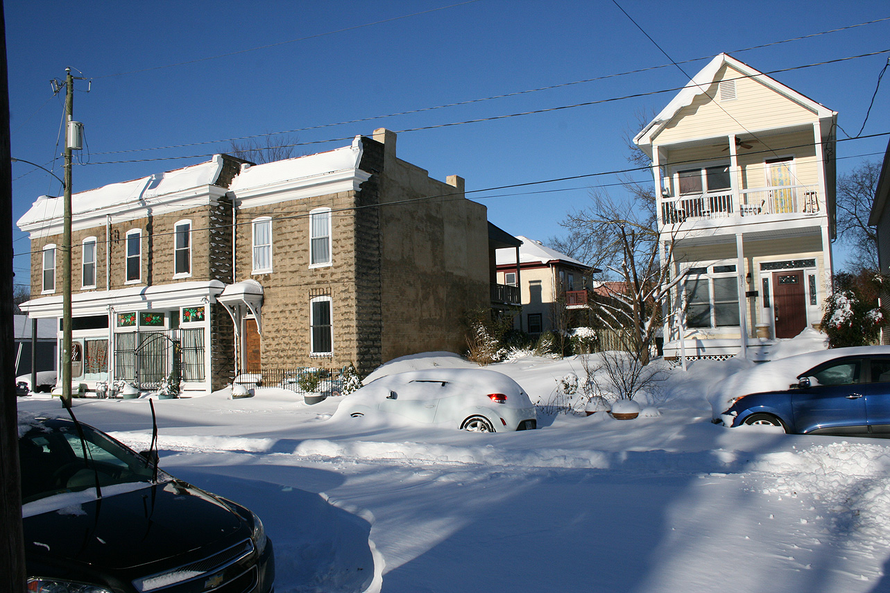
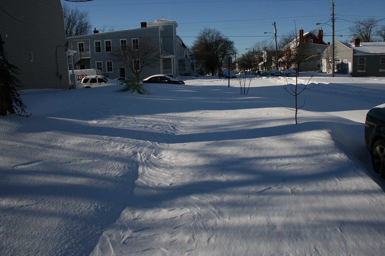
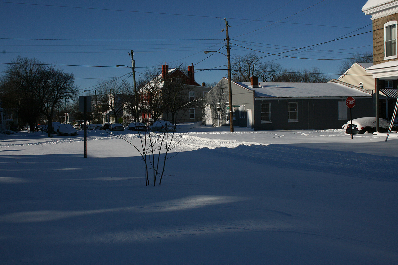
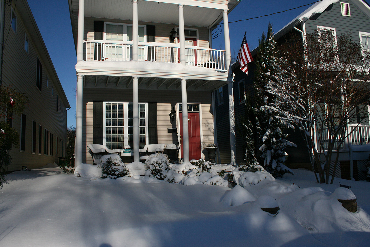
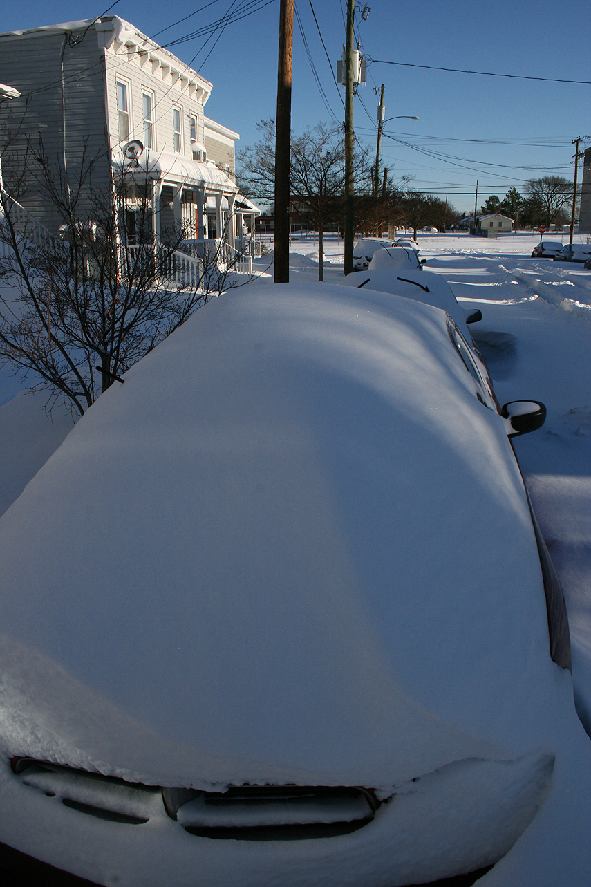
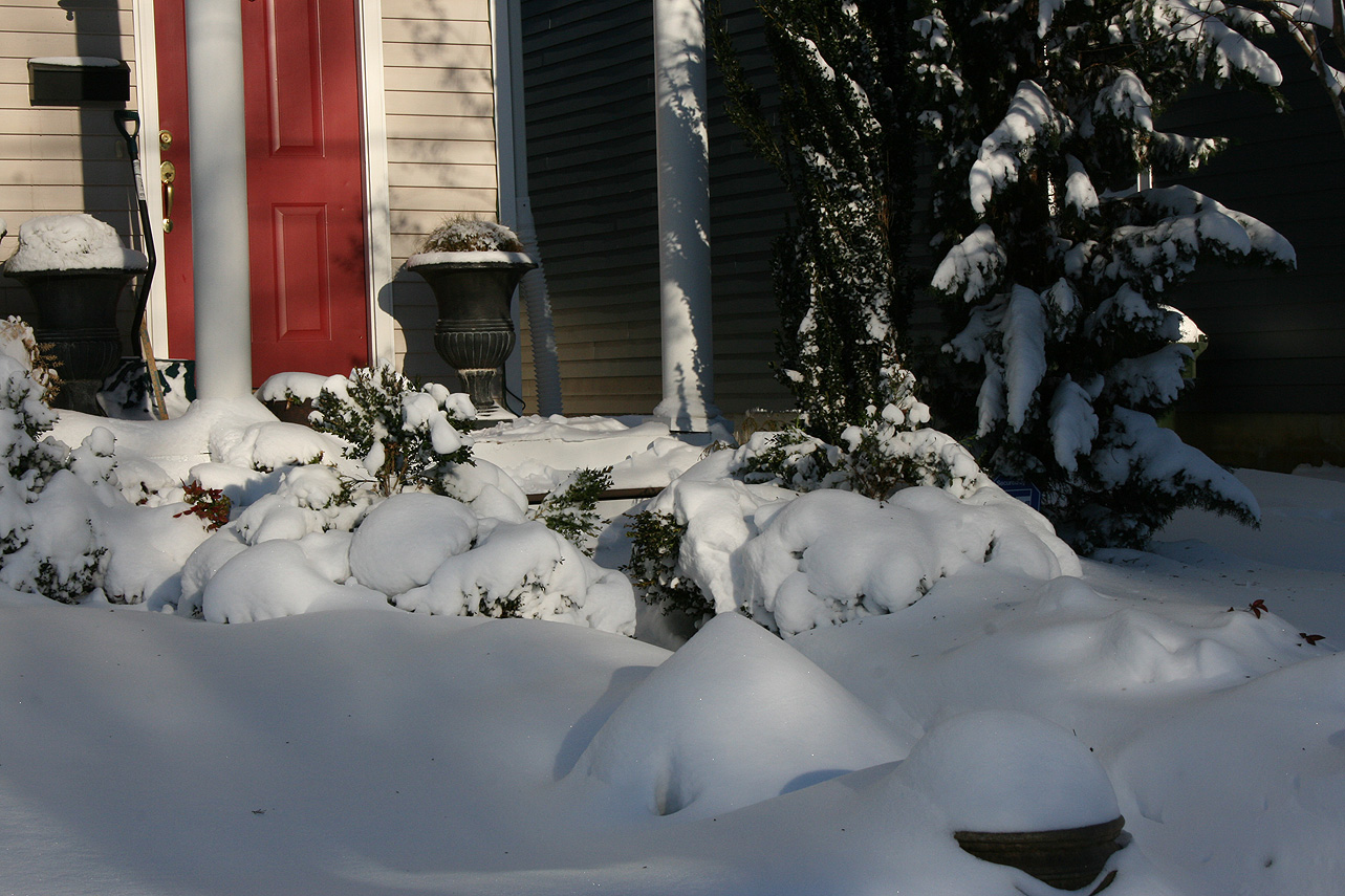
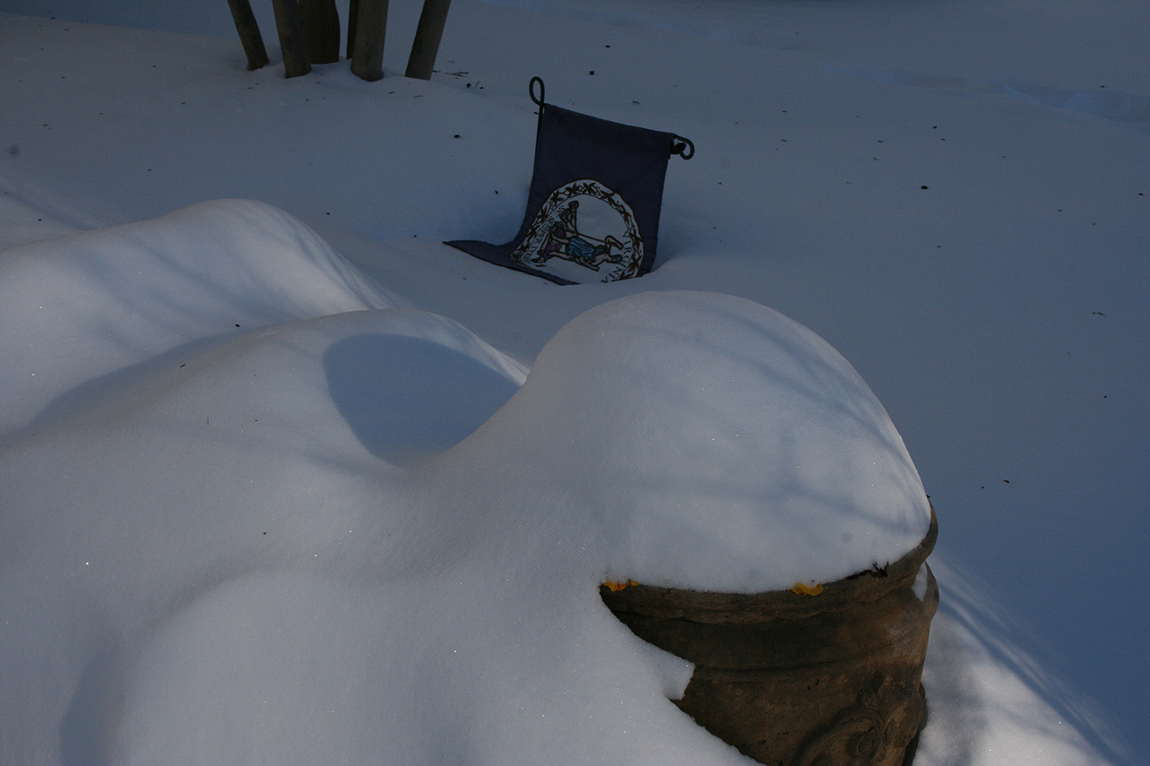
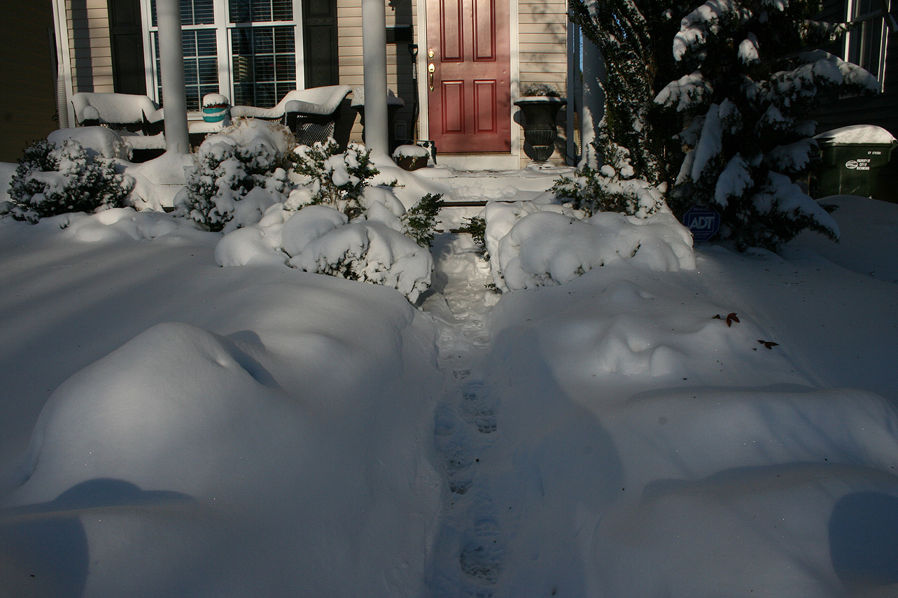
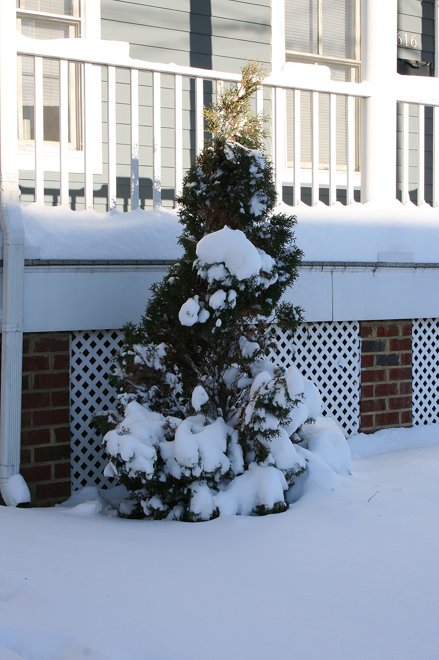
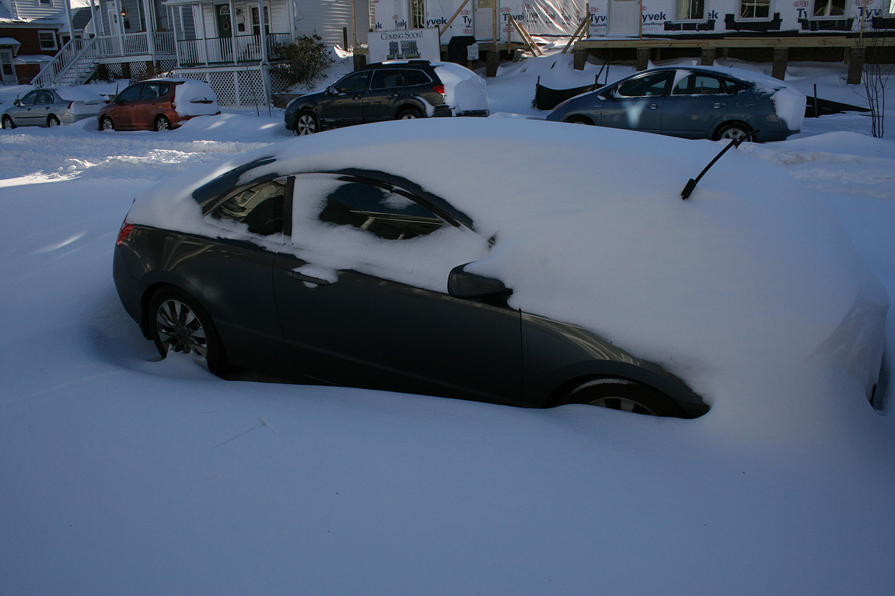
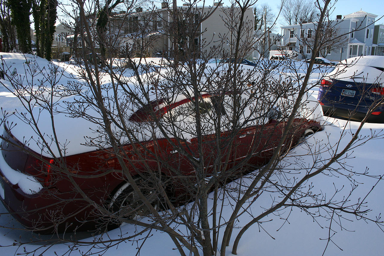
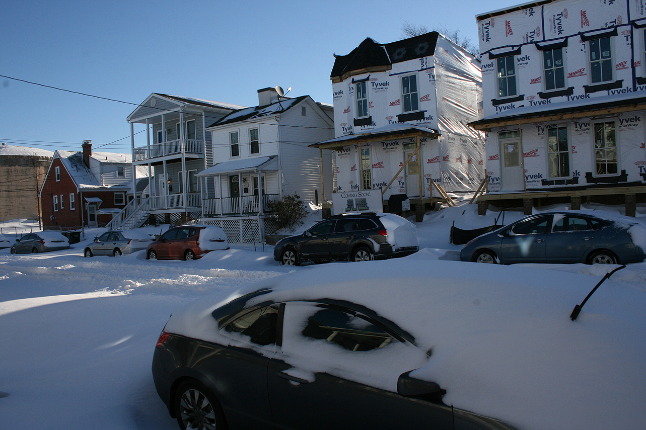
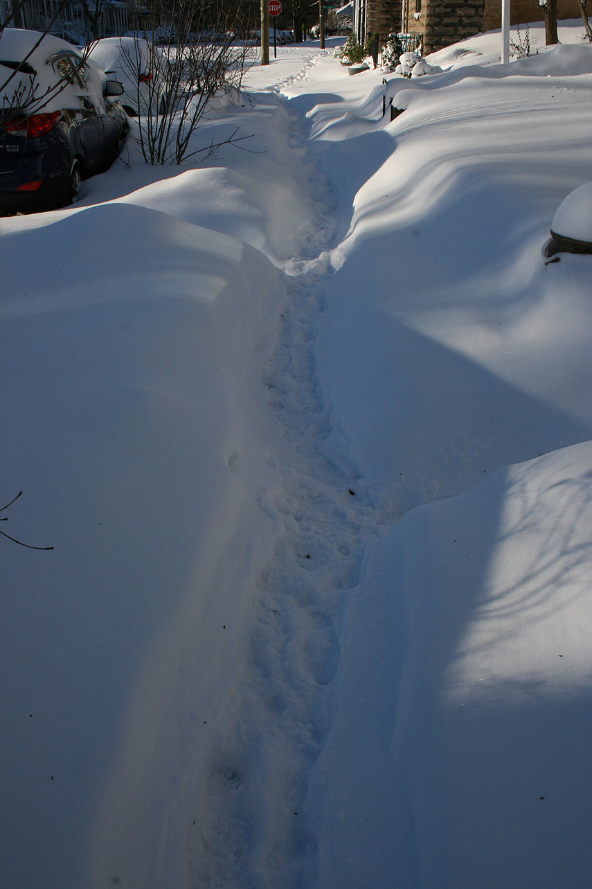
* Total Precipitation: 12.5″ of snow and sleet (5″ snow to 1.5″ of sleet to 6″ of snow). Measurements ranged from 10-18″ around the block. High winds caused drifting, with snow banks between 2-3′ tall. Sleet provided compaction to the snow depth. 11.4″ of snow was reported at the Richmond airport. This was the 11th highest storm total at the Richmond airport.Locally heavier snow to the north of Richmond.
* Comments: A complex storm system tracked across the country, including a multi-phased low-pressure system that transitioned to a low-pressure system off the North Carolina coast. The low-pressure system then tracked north to the Chesapeake Bay, causing snow in Central Virginia (and as far west as Lynchburg & Charlottesville) to transition to sleet. Heavy sleet and a dry slot occurred the night of 1/22 into 1/23. The morning of 1/23, precipitation redeveloped along a deformation band stretching along I-95 from NC to Washington DC. The snow fell moderate to heavy from 11 AM to 6 PM. Wind gusts from 30-45 MPH (43 MPH at the airport) caused near blizzard conditions during the afternoon. Snow tapered off by 10 PM on 1/23.
Snow impacted Arkansas up to southern New England. This storm was known as “Jonas” by TWC and the Blizzard of 2016 in other news outlets. Impacts in DC to NYC were extreme, where totals exceeded 2′ of snow.
Snowfall Totals:
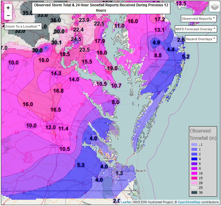
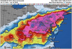
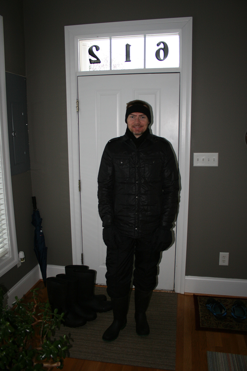
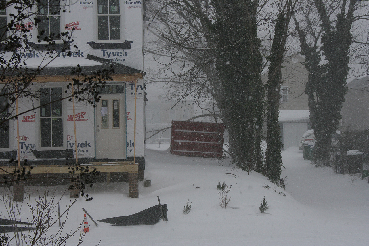
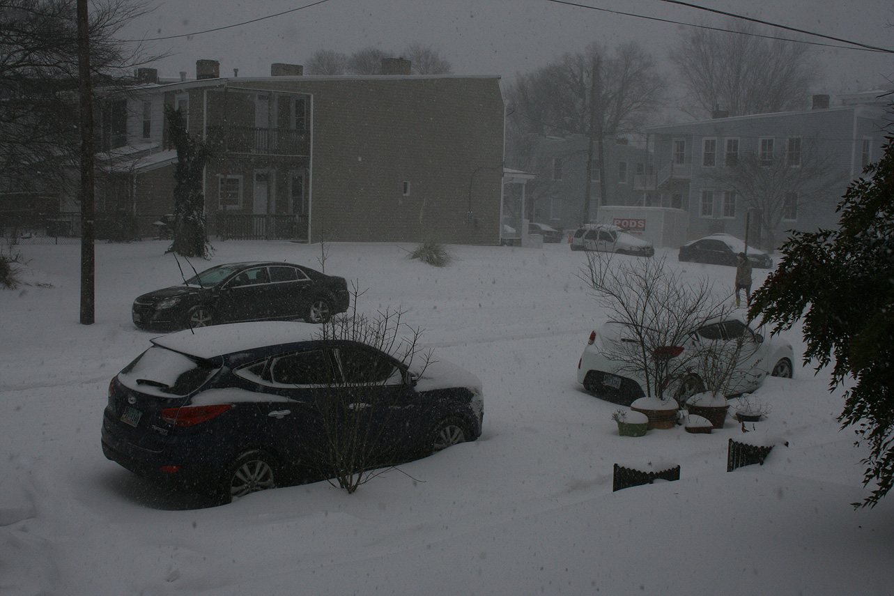
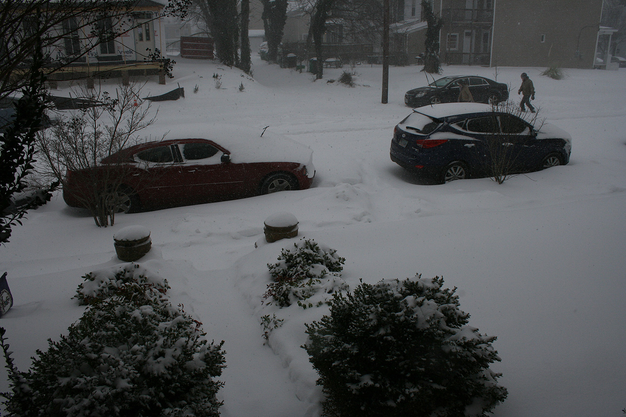
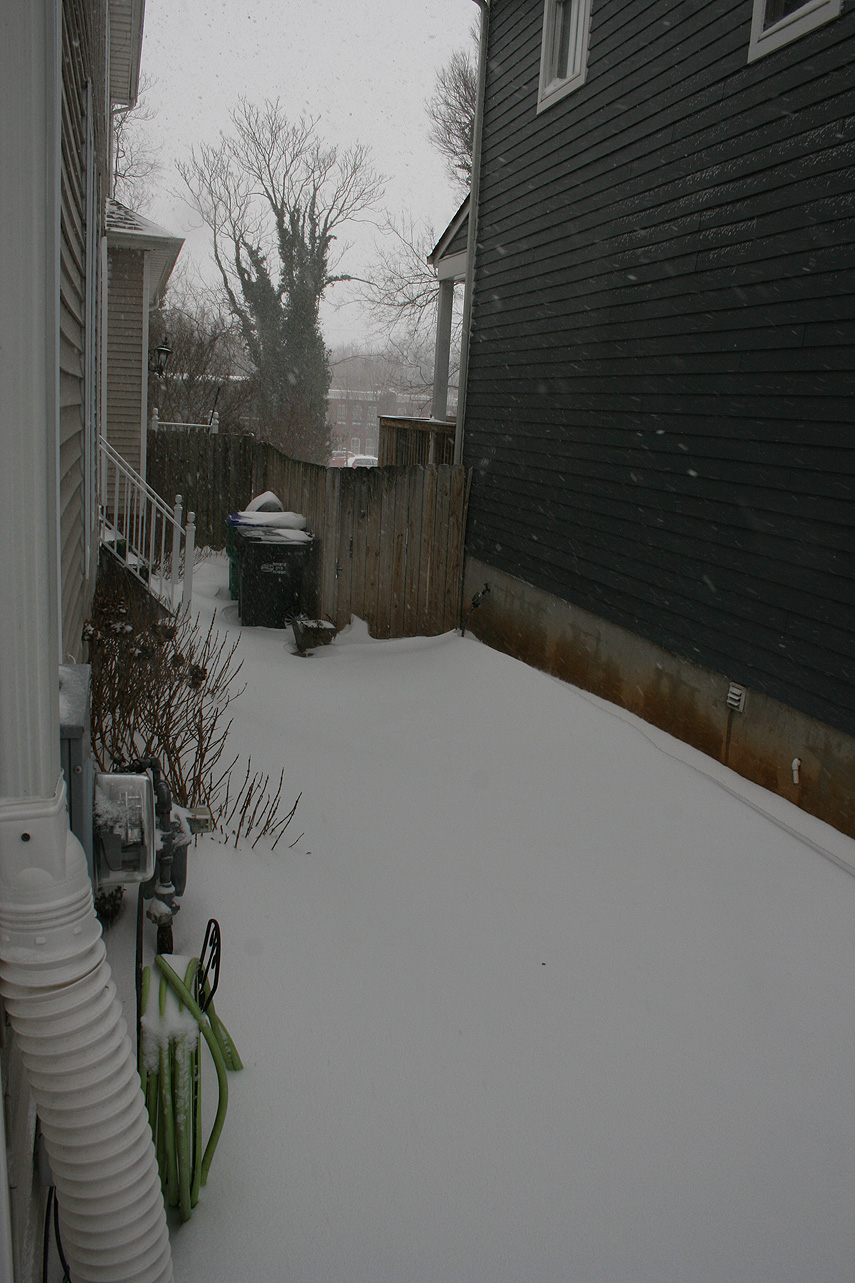
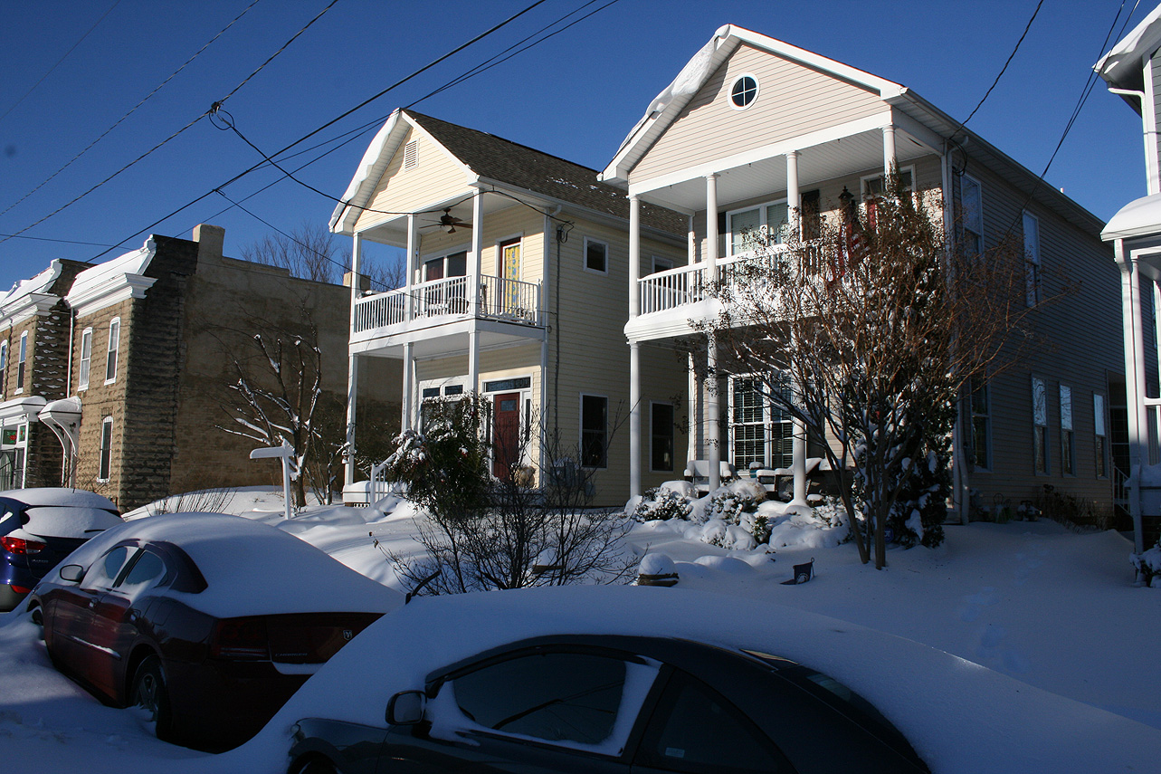
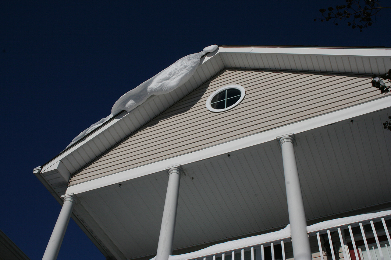
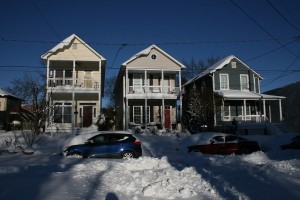
Photo Gallery: