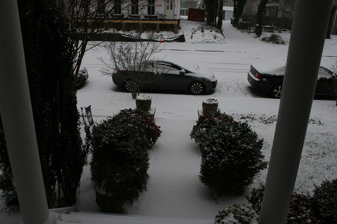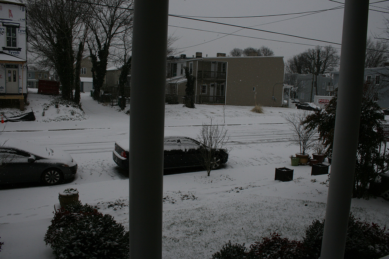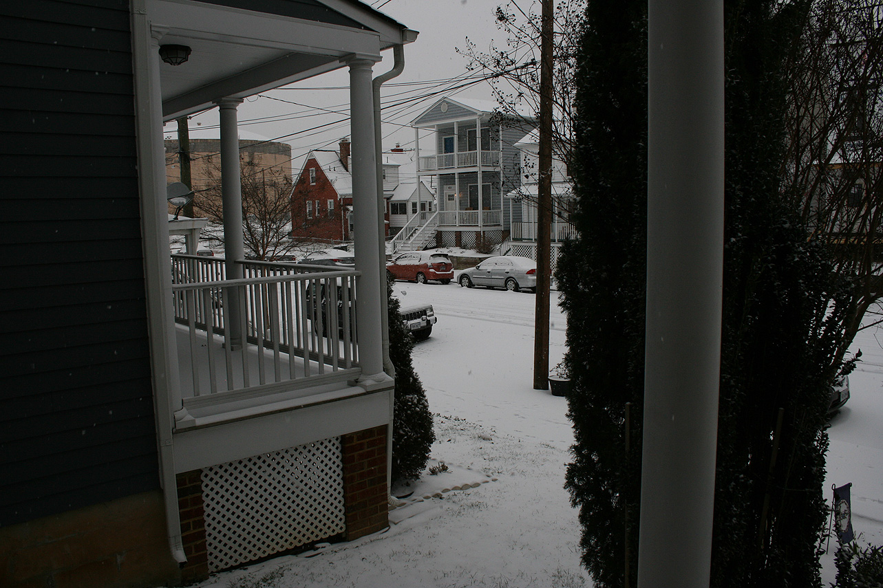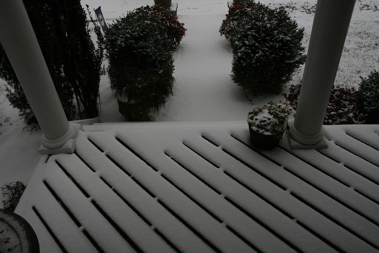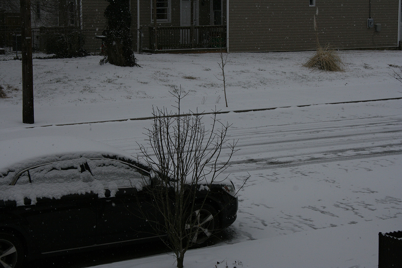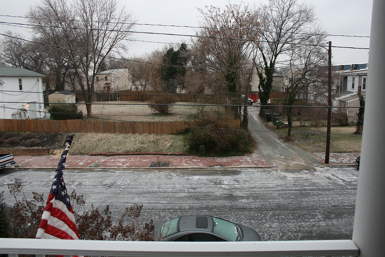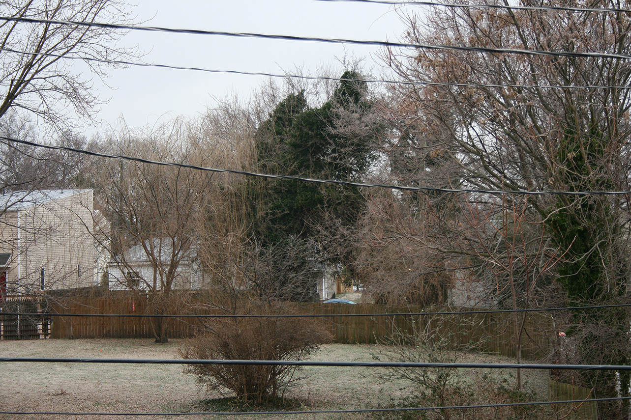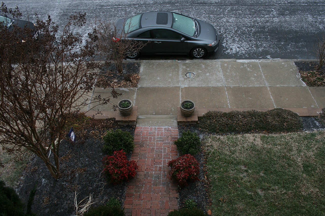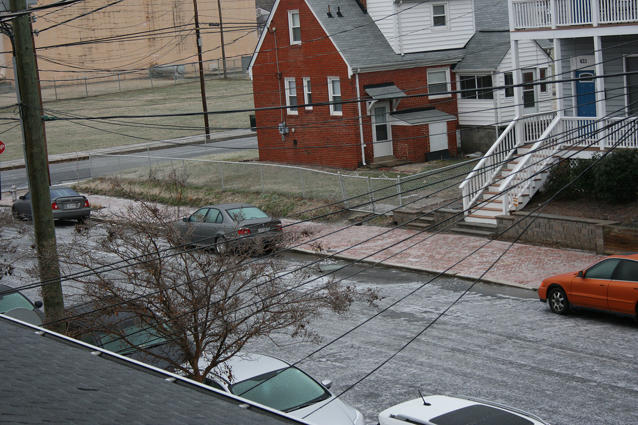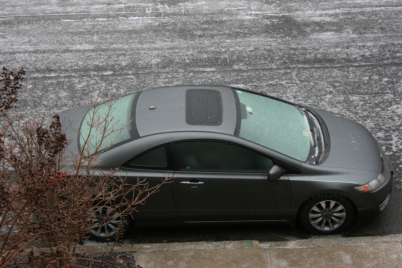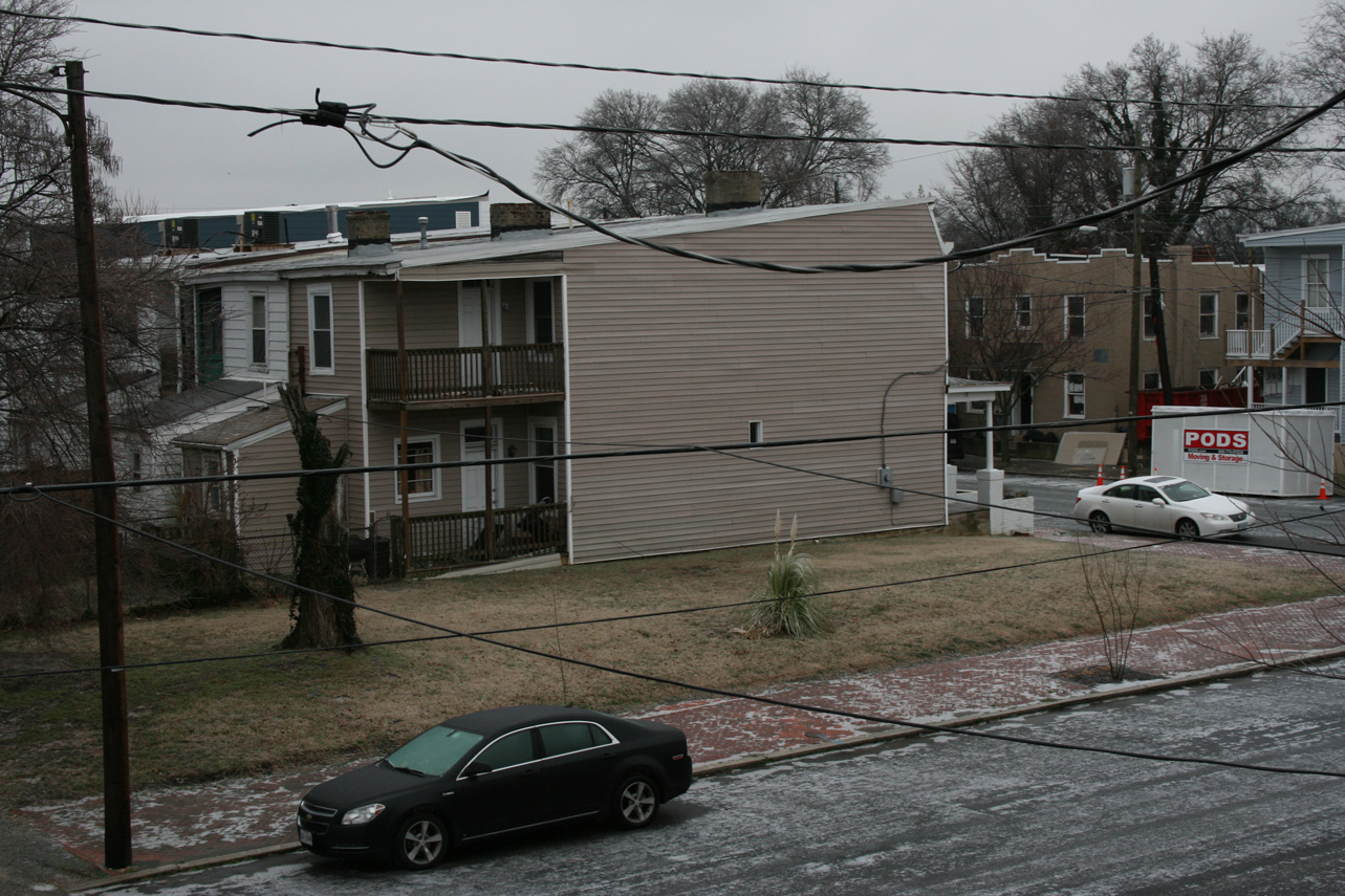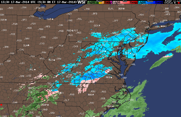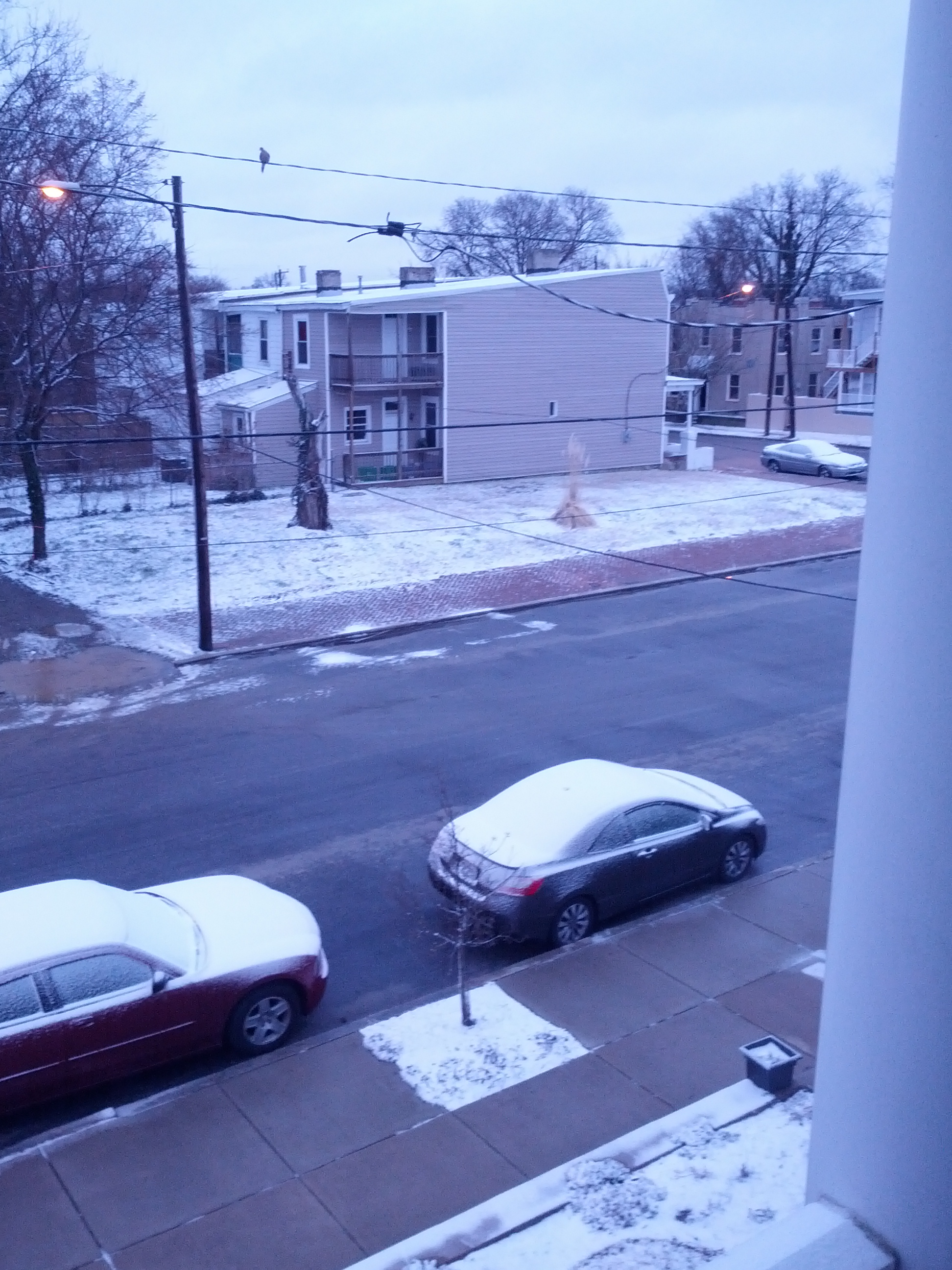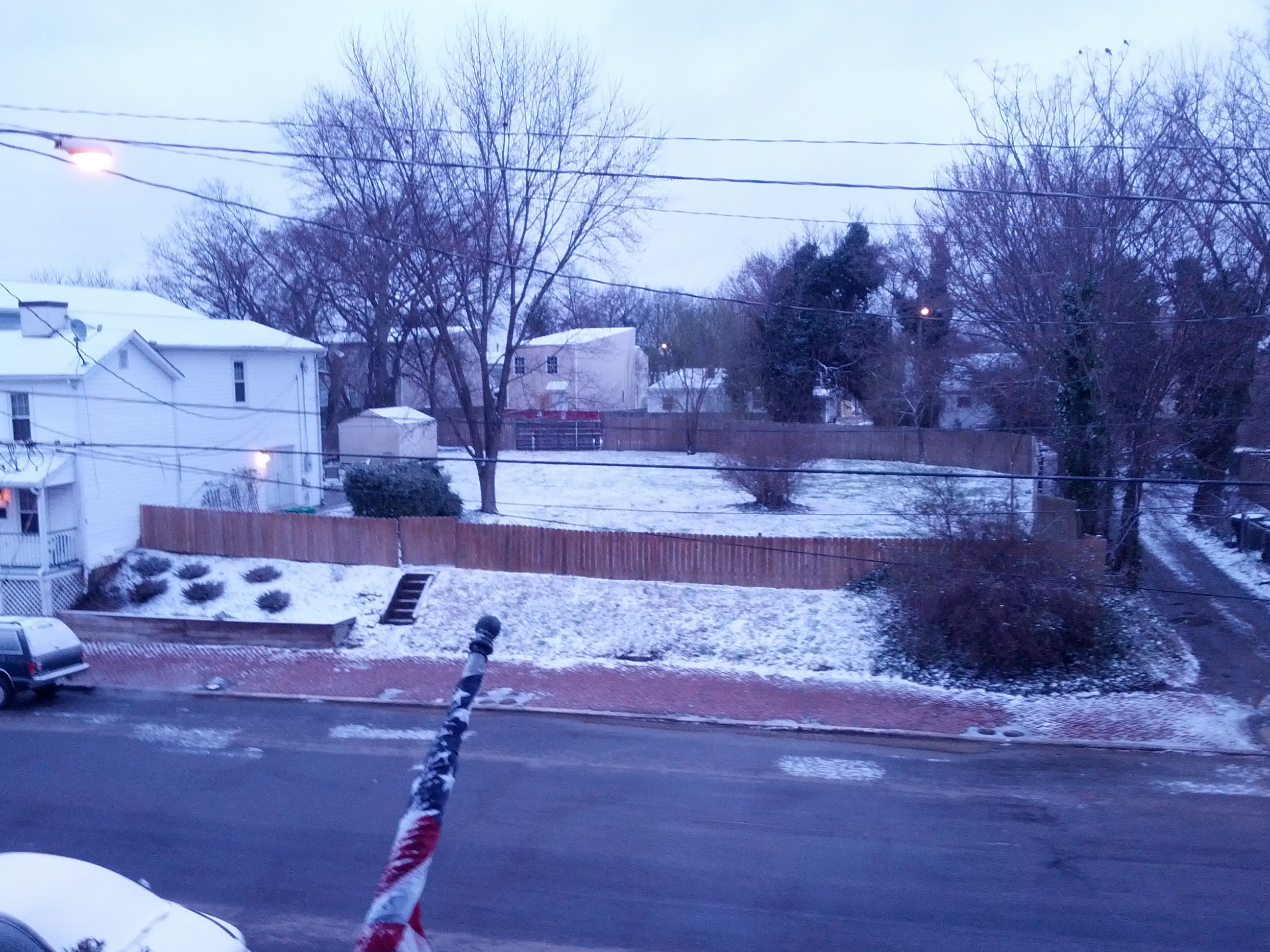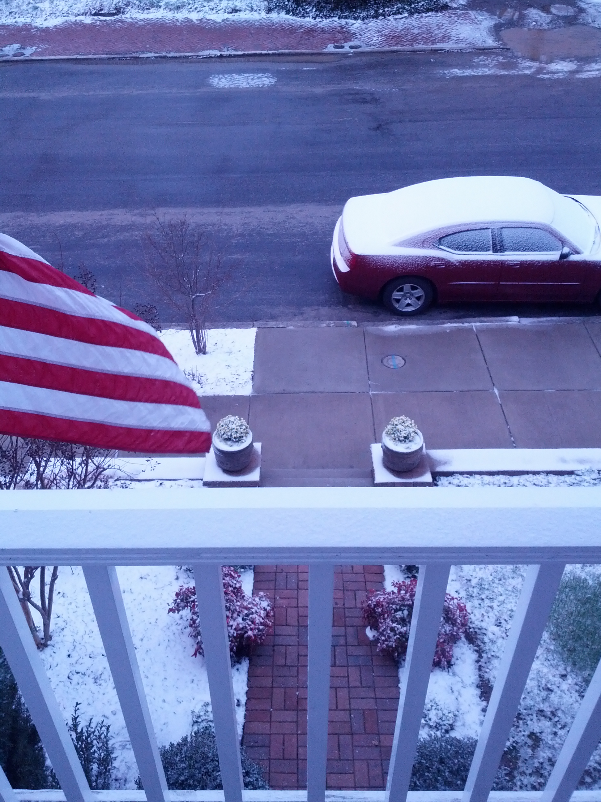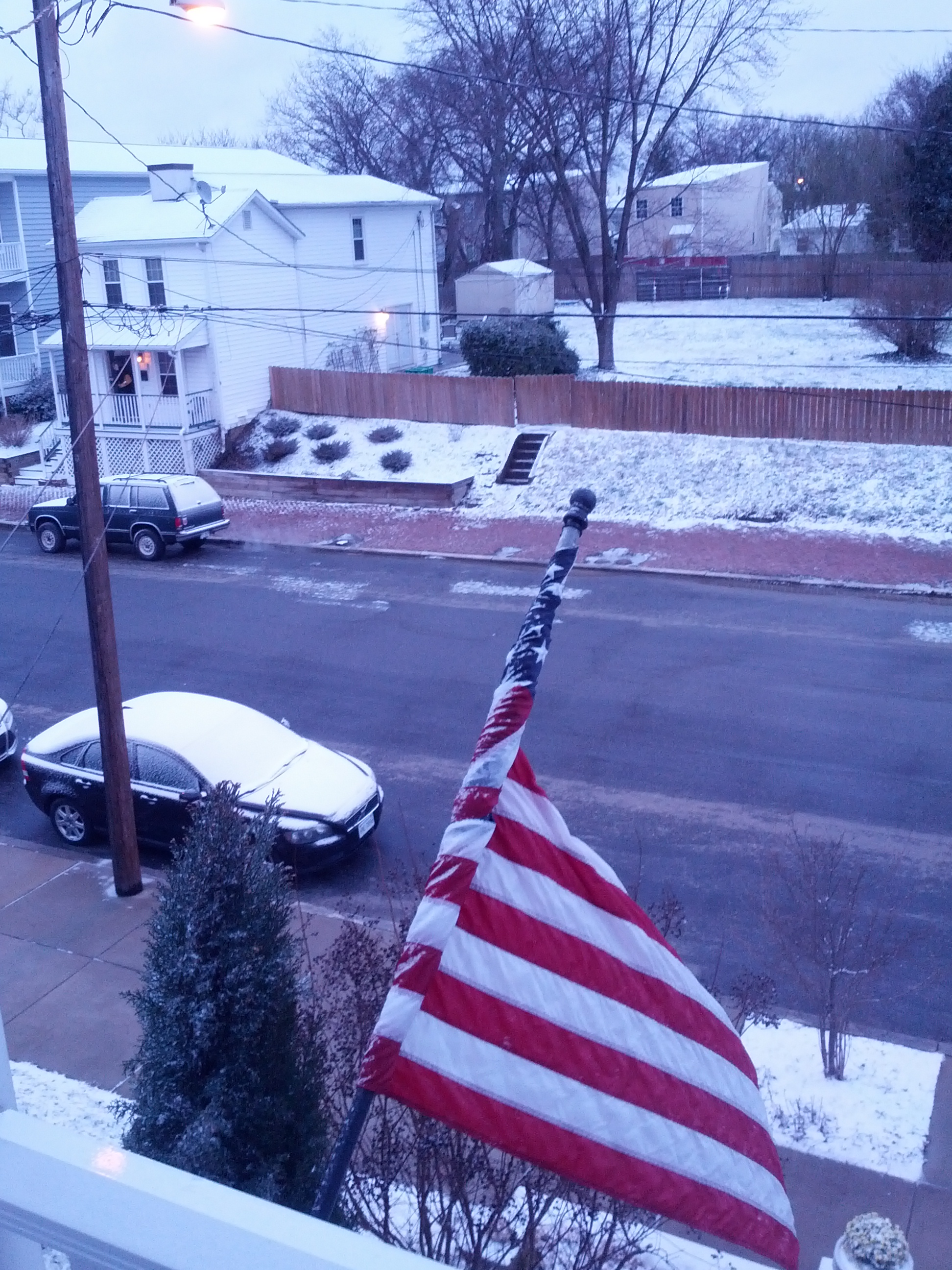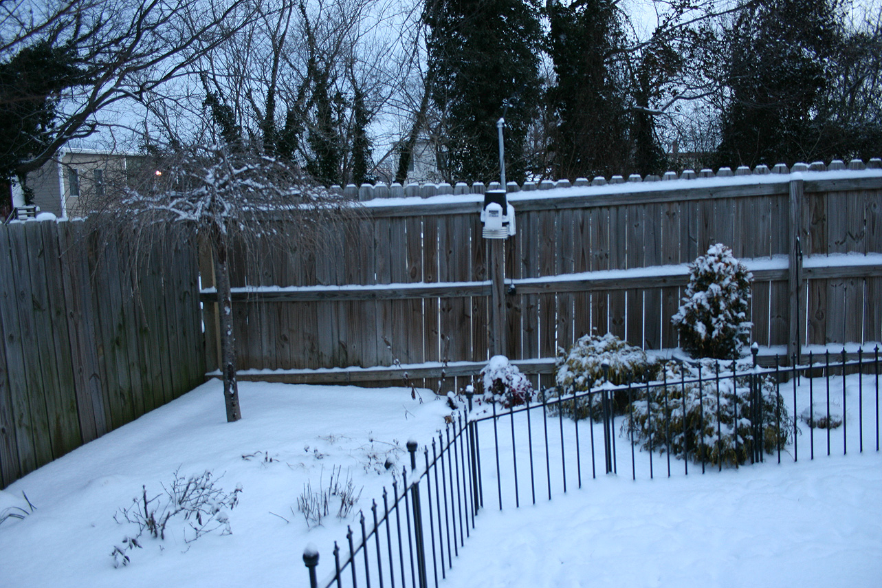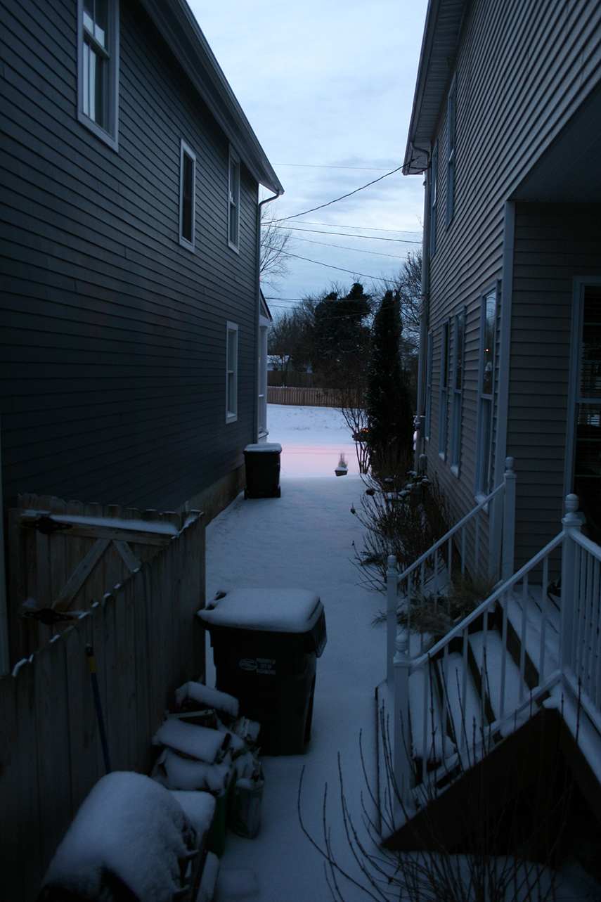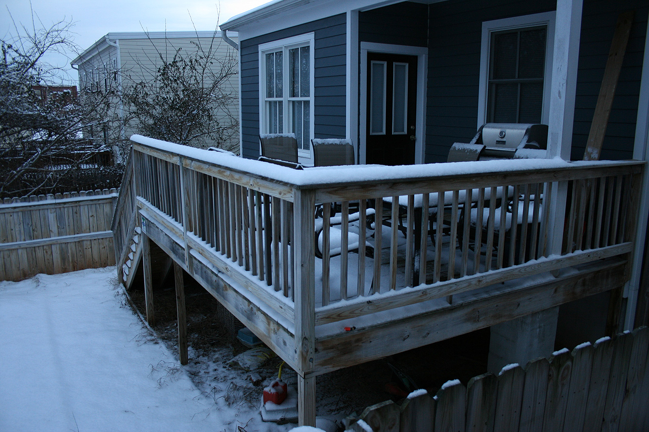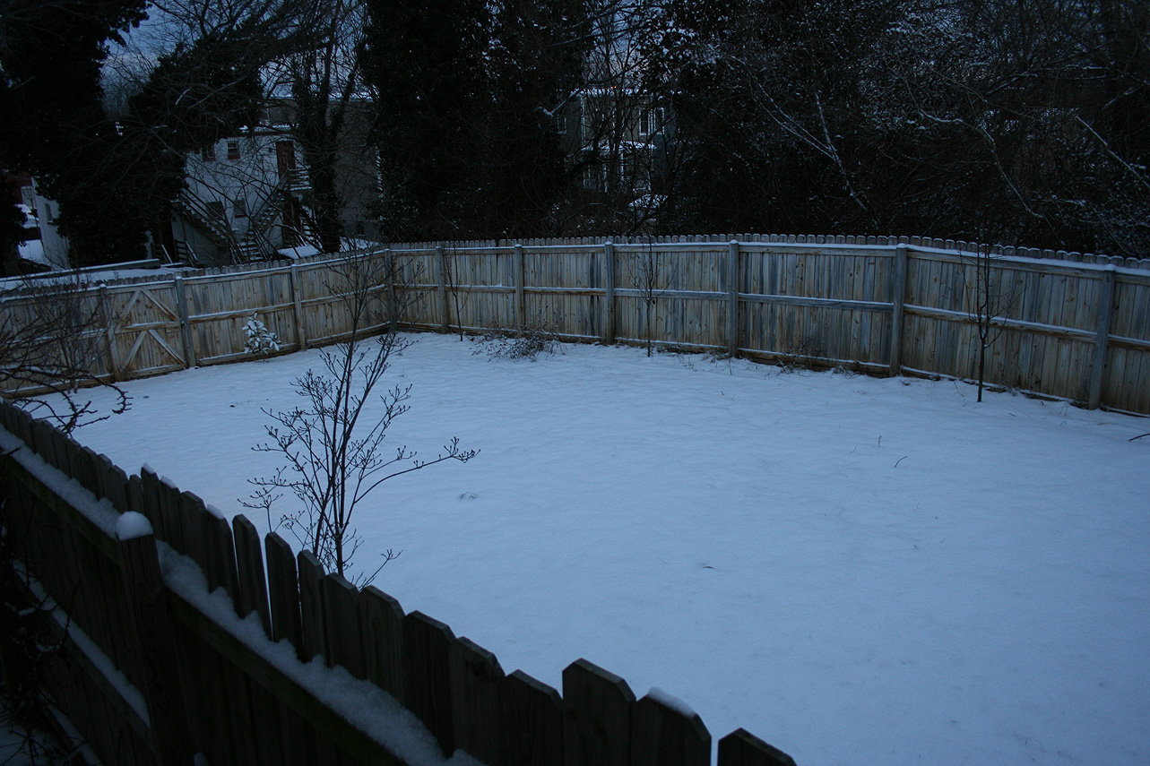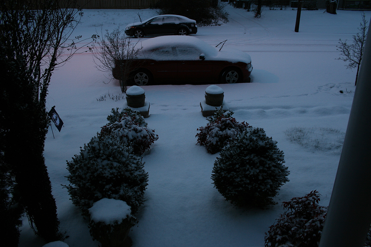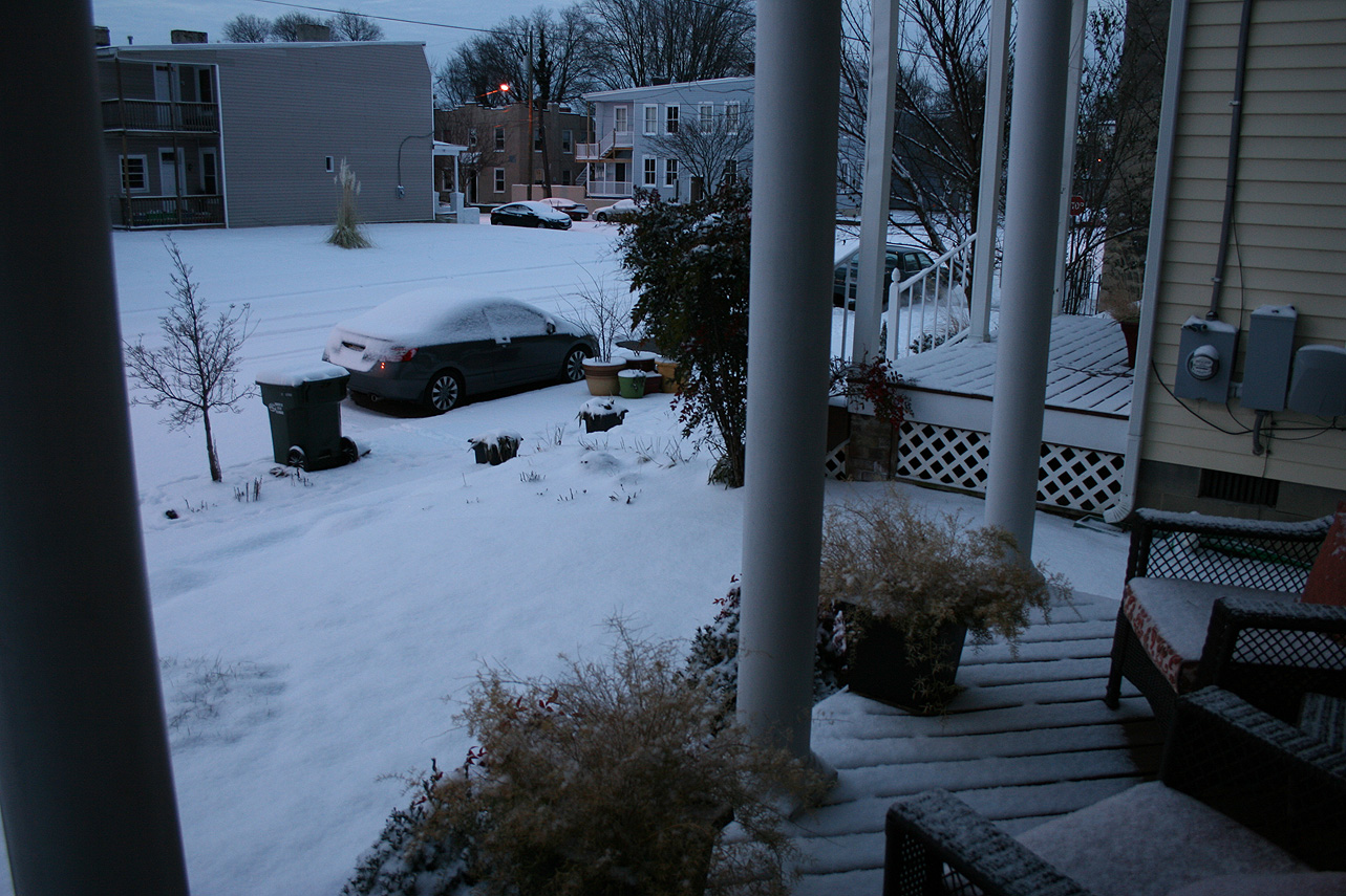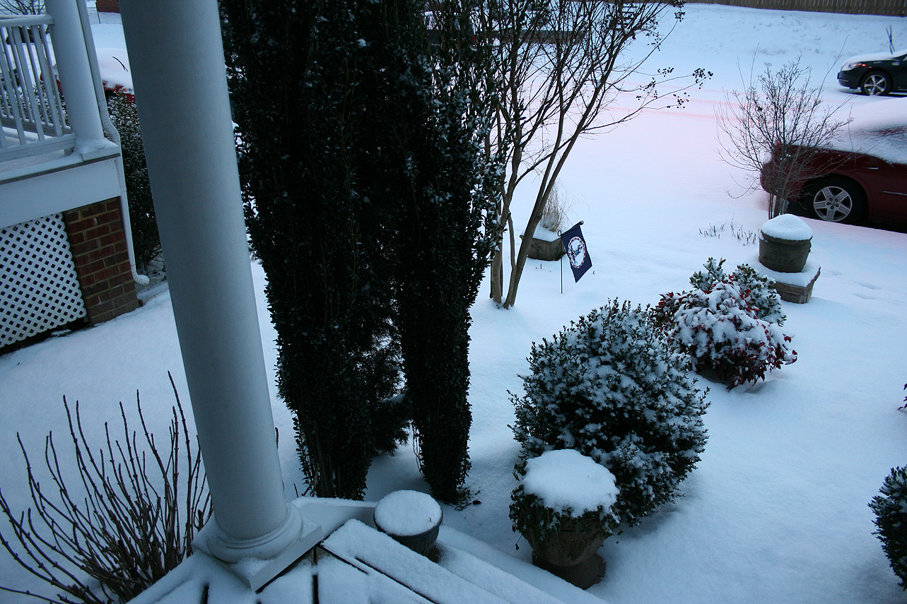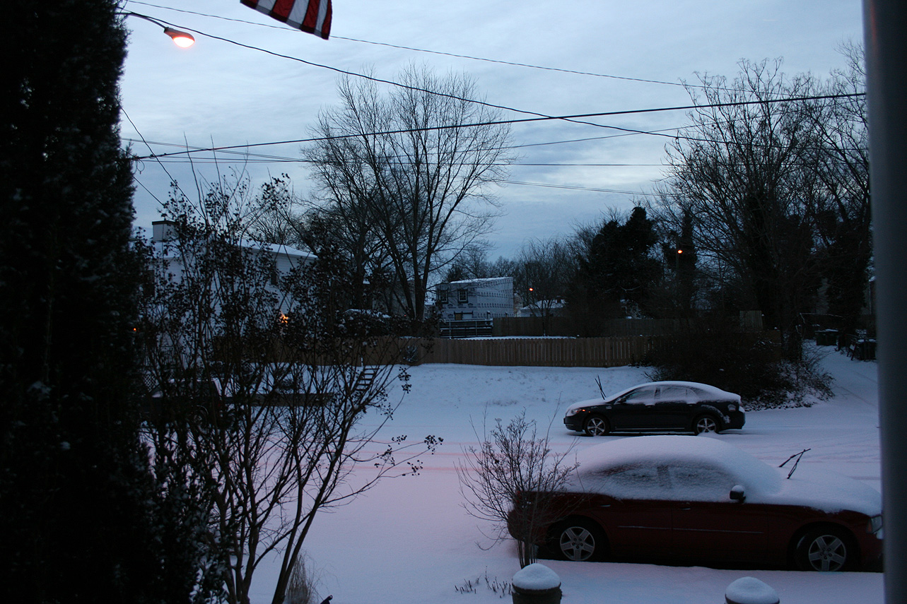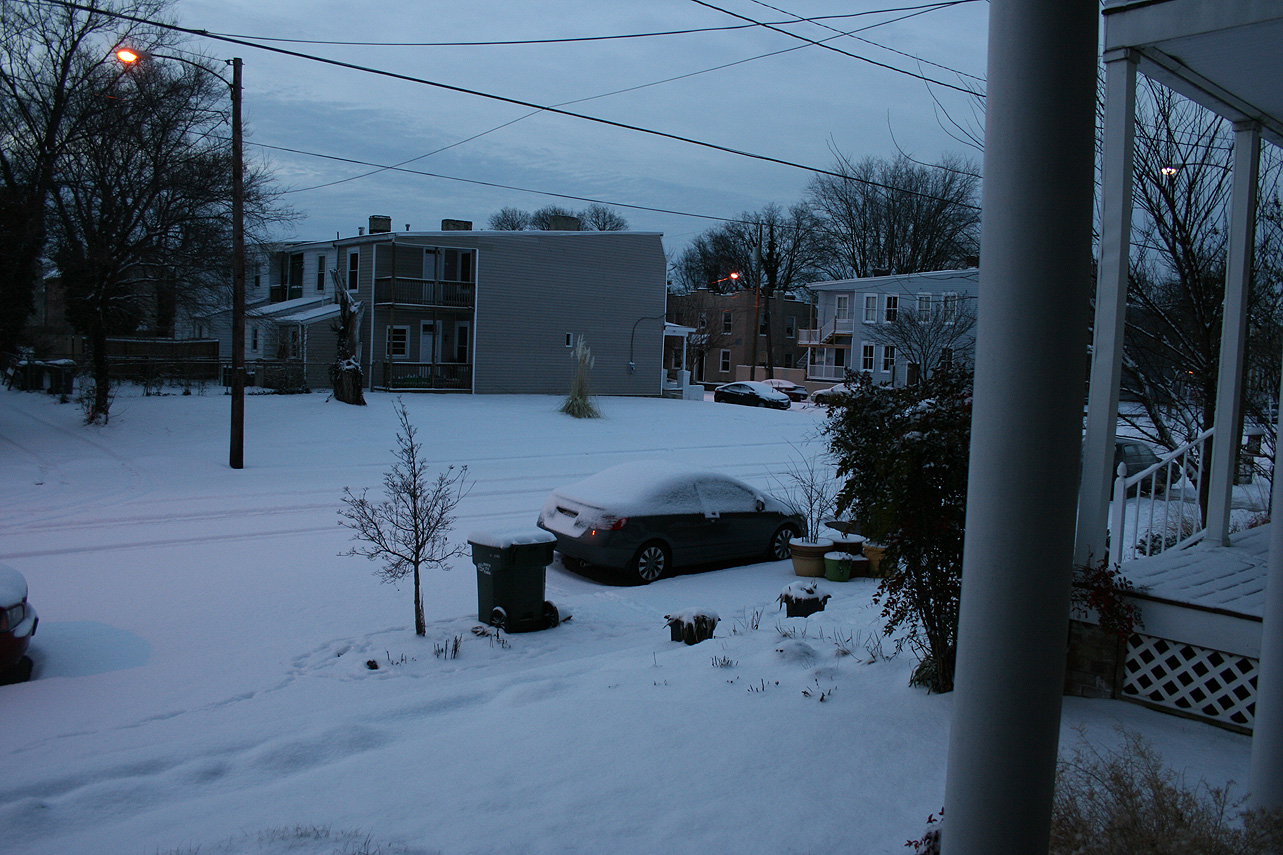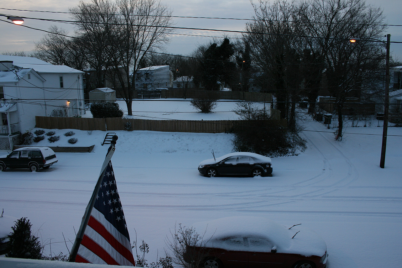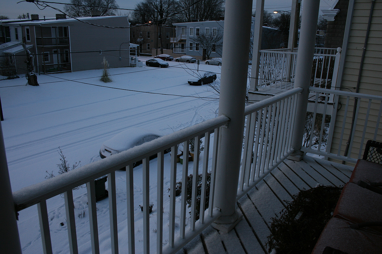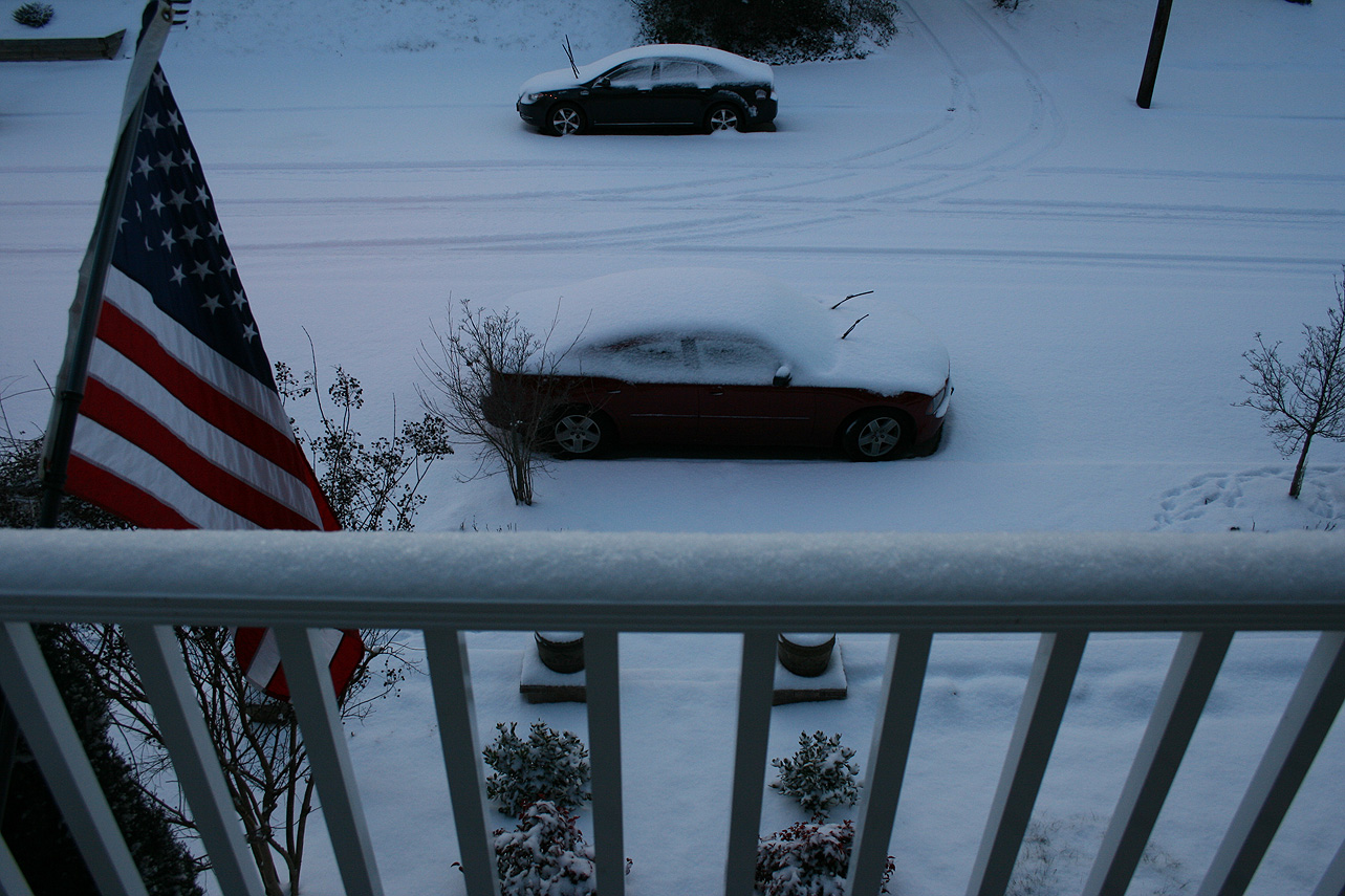
Church Hill Storm Observation Summary:
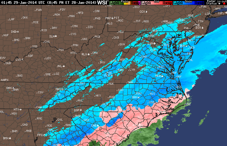
* Place – Time: Church Hill, (2/15/2016)
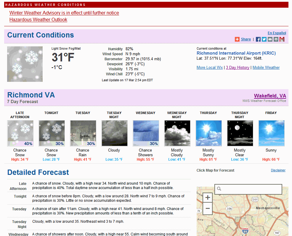
* Temperature: 23-, During Event
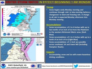
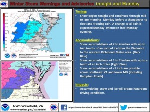
* Winter Weather Watch/Warning/Advisory: Watch & Advisory
* Closings: All local school districts were closed on 2/15, Chesterfield County Government was also closed on 2/15.
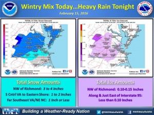
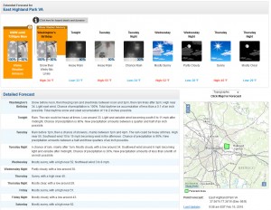
* Predicted Totals: Between 2-3″ before the storm. NWS updated to 2-4″ the morning of the event.
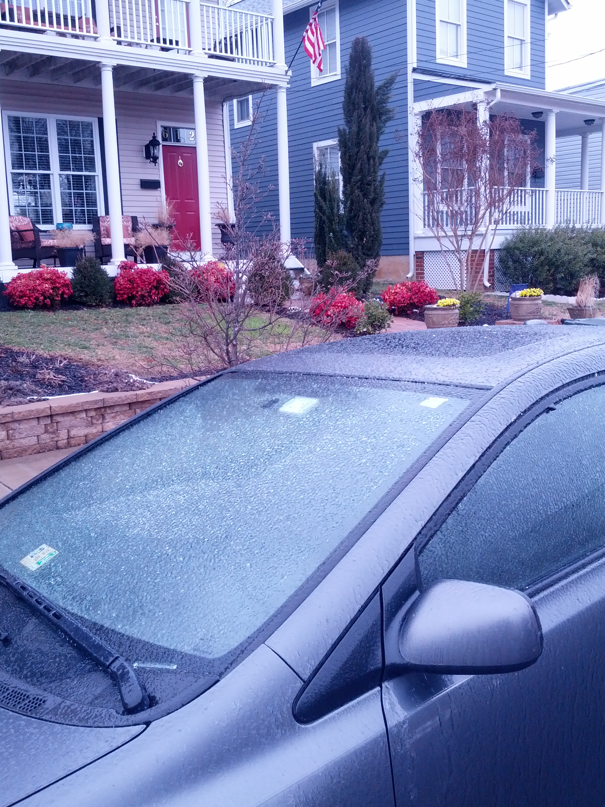
* Road Conditions: All roads had substantial snow and ice accumulation on them.
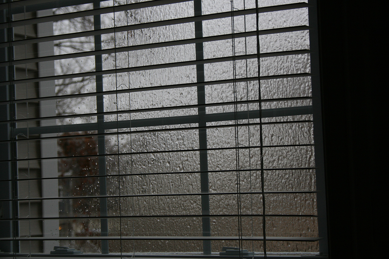
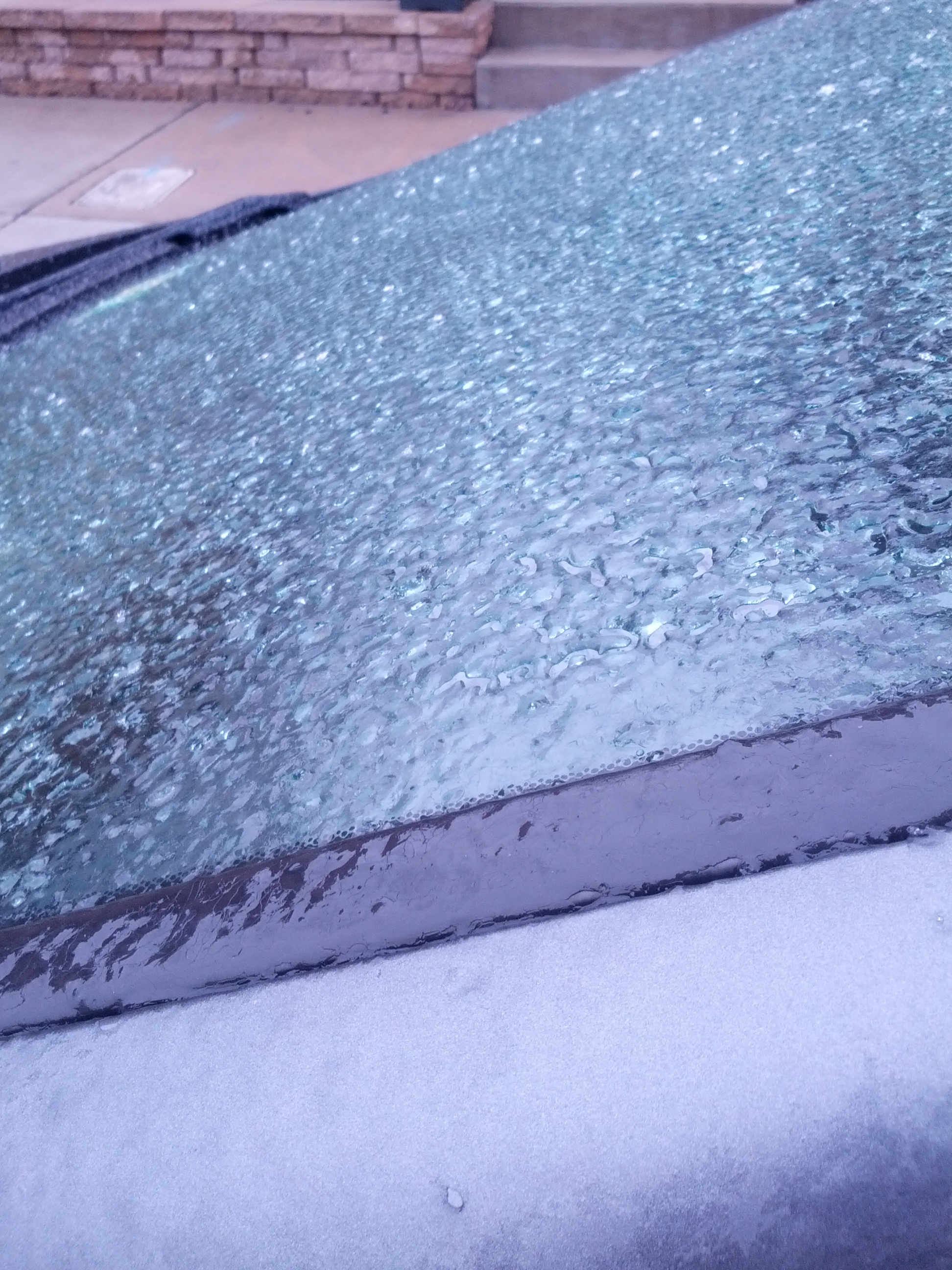
* Precipitation Description: Snow, sleet and freezing rain. Snow began around 4:00 AM. Snow transitioned to sleet and light freezing drizzle around 10:30 AM.
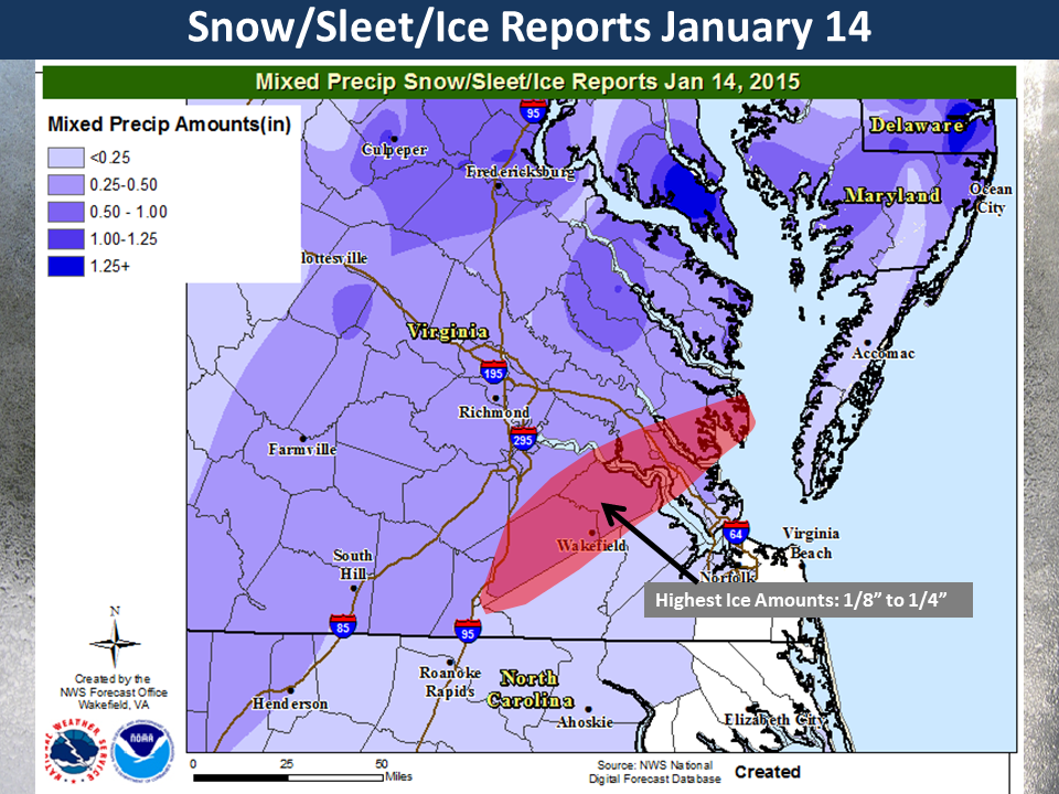
* Total Precipitation: 1.25″ of snow with minor icing occurring from about 10:30 AM until 5 PM in the afternoon. 1.4″ of snow was reported at the Richmond airport.
* Comments: Snow began in the early morning hours with about a 0.5″ accumulating on all surfaces by 8 AM. Snow changed to sleet and freezing drizzle at around 10:30 AM. The system eventually transitioned to rain by 5 PM.
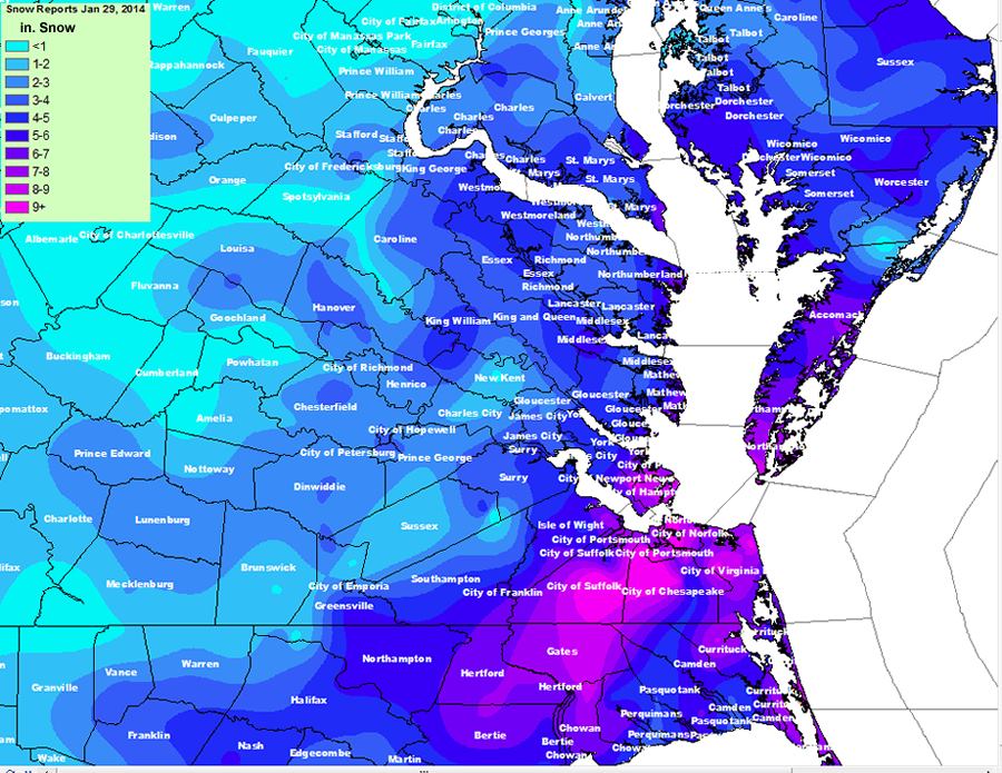
Snowfall Totals: None Available.
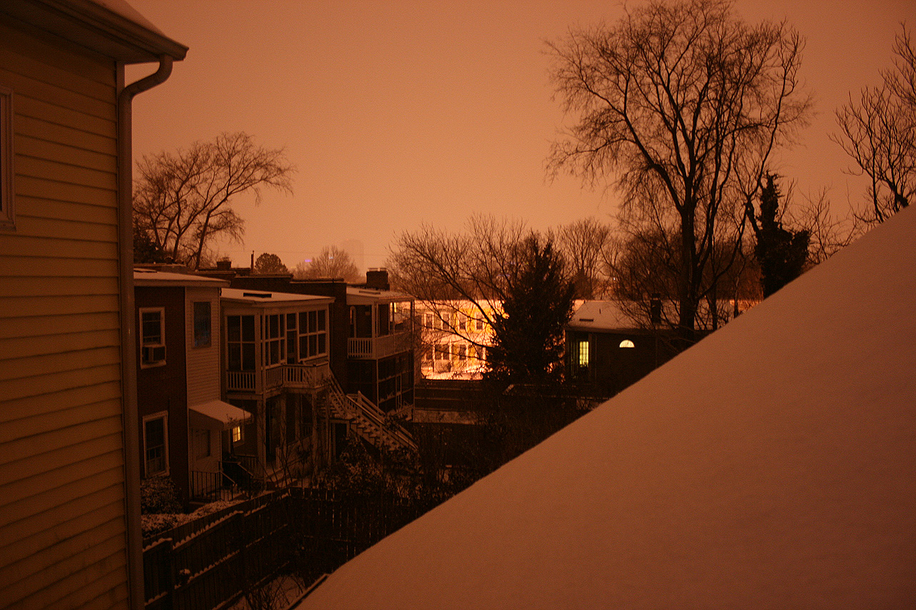
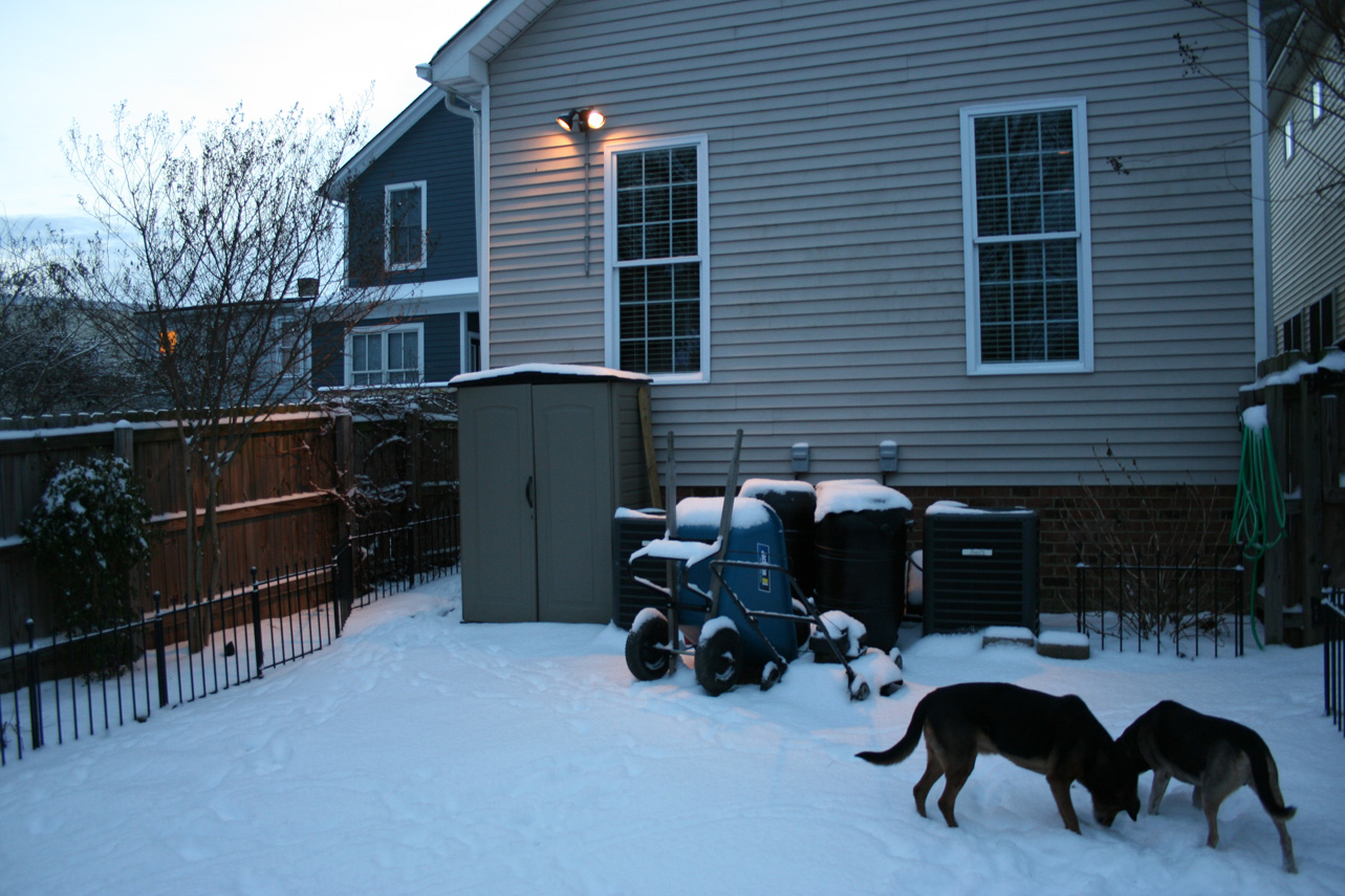
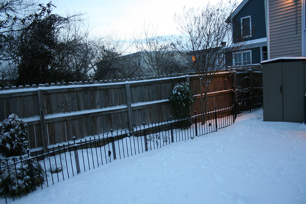
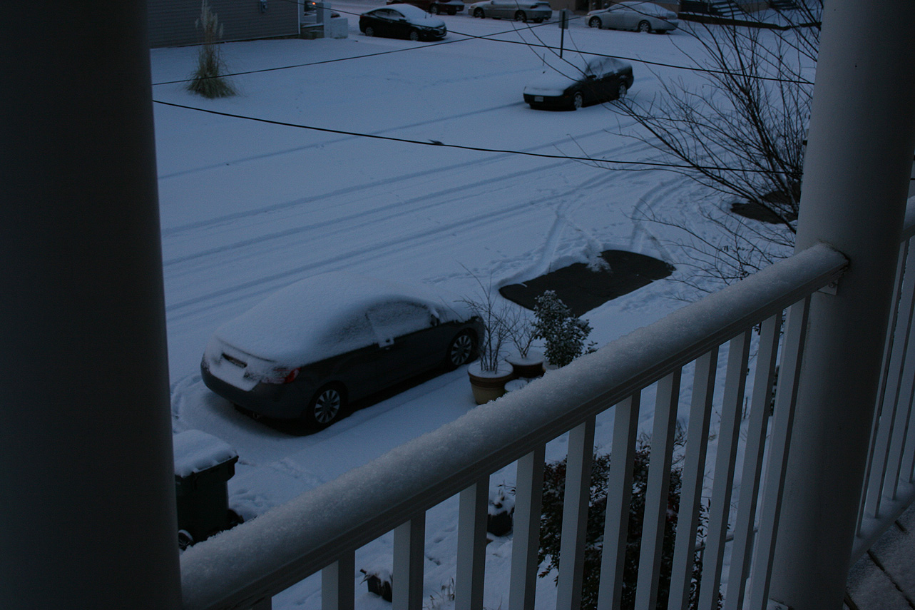
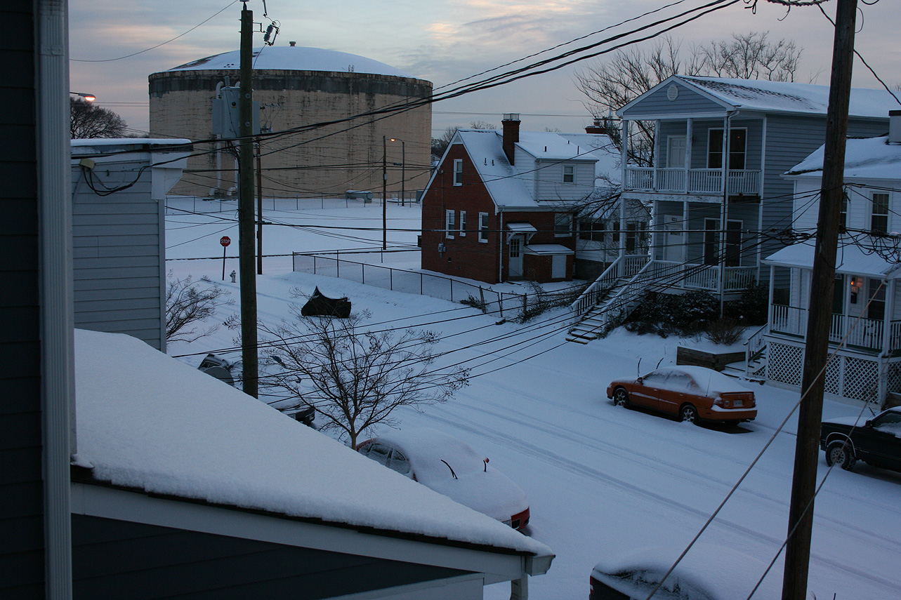
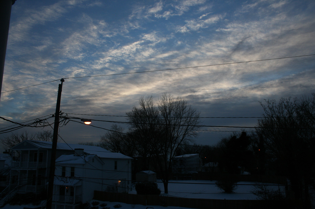
Photo Gallery: