Deprecated: Optional parameter $selected declared before required parameter $args is implicitly treated as a required parameter in /home/richmon/domains/richmondcitywatch.com/public_html/rvawx_test/wp-content/plugins/archives-calendar-widget/arw-settings.php on line 178
Deprecated: Optional parameter $view declared before required parameter $args is implicitly treated as a required parameter in /home/richmon/domains/richmondcitywatch.com/public_html/rvawx_test/wp-content/plugins/archives-calendar-widget/arw-widget.php on line 480
Deprecated: Optional parameter $archiveMonth declared before required parameter $args is implicitly treated as a required parameter in /home/richmon/domains/richmondcitywatch.com/public_html/rvawx_test/wp-content/plugins/archives-calendar-widget/arw-widget.php on line 480
Warning: Trying to access array offset on value of type bool in /home/richmon/domains/richmondcitywatch.com/public_html/rvawx_test/wp-content/plugins/archives-calendar-widget/archives-calendar.php on line 64 Observation | RVAWX.com
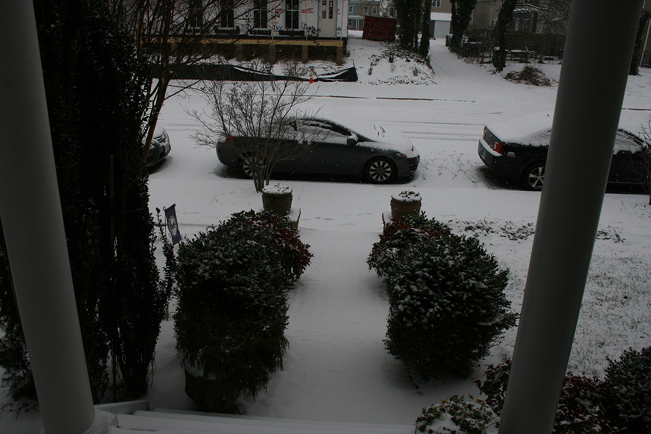
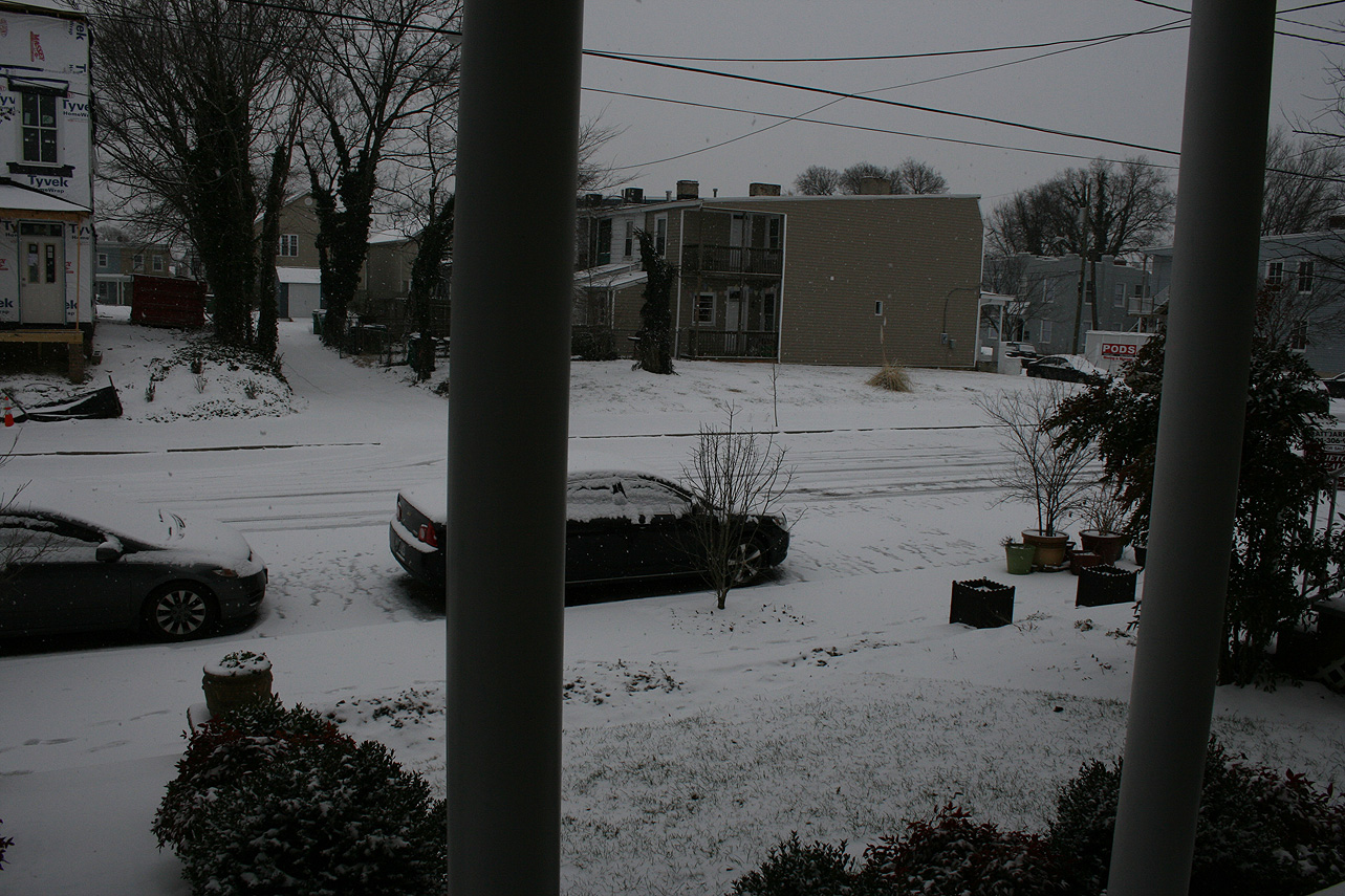
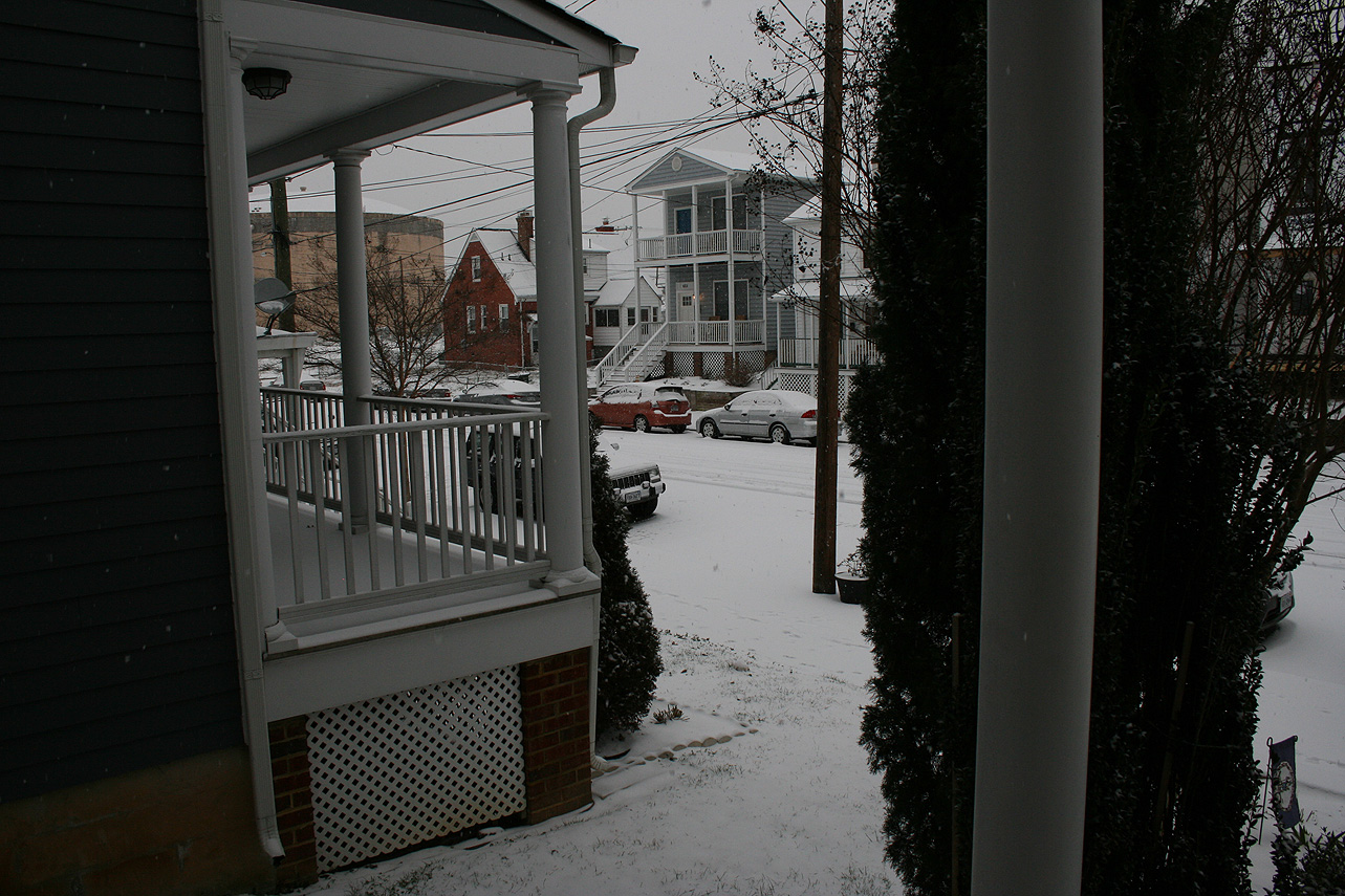
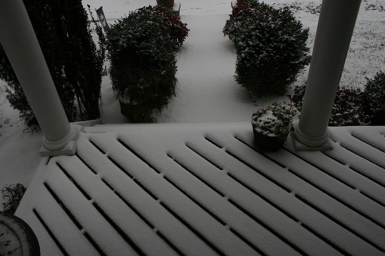
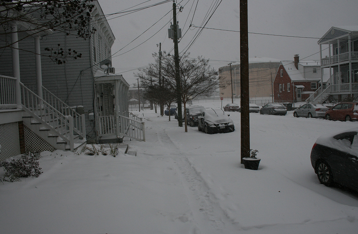
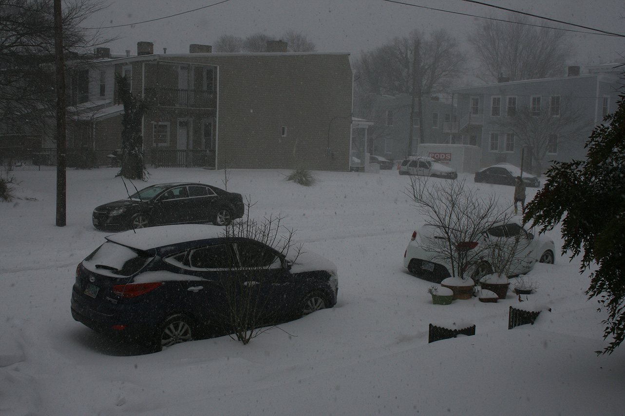
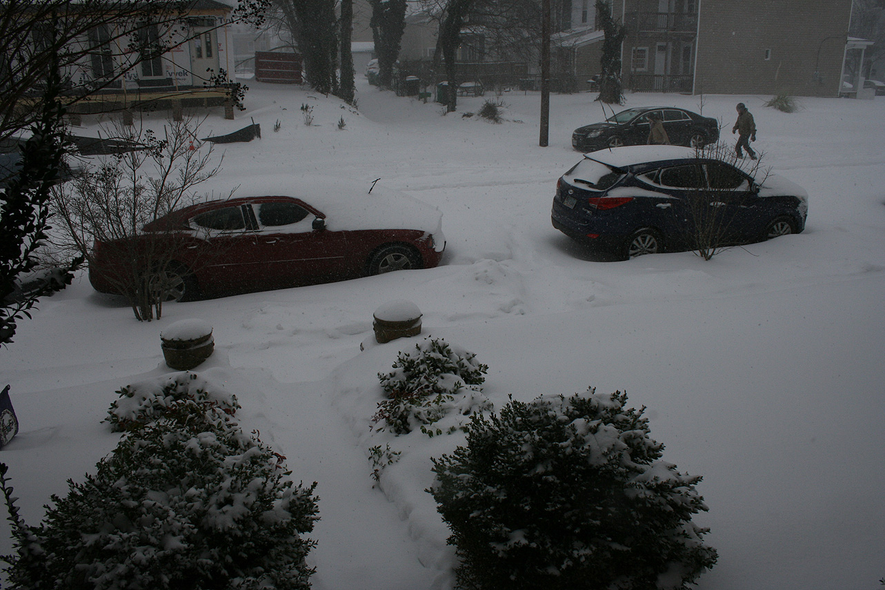
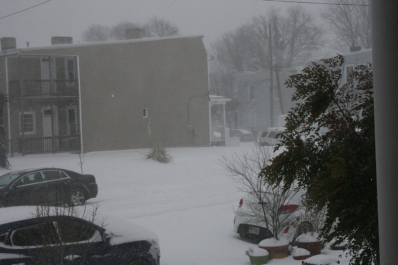
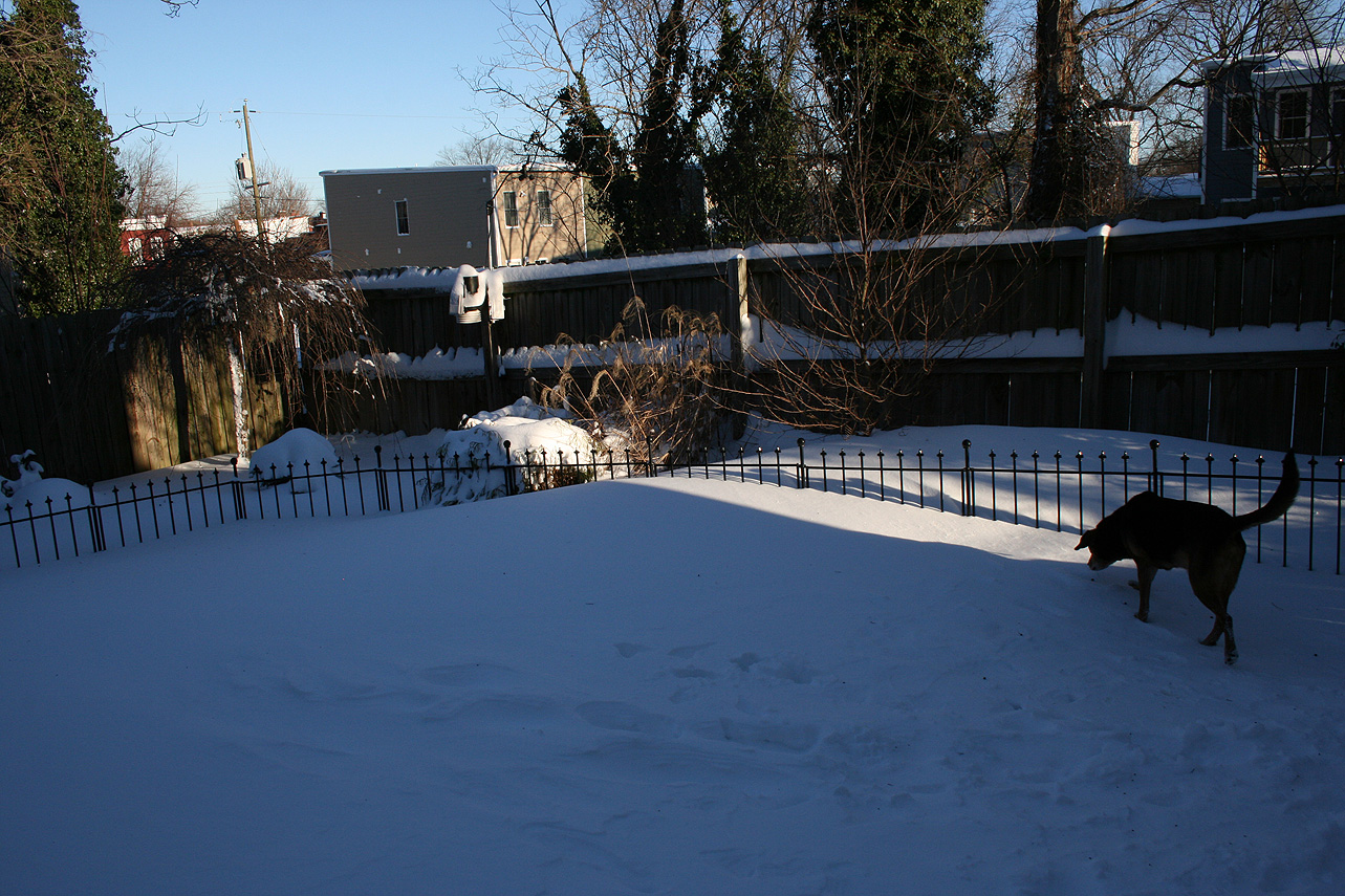
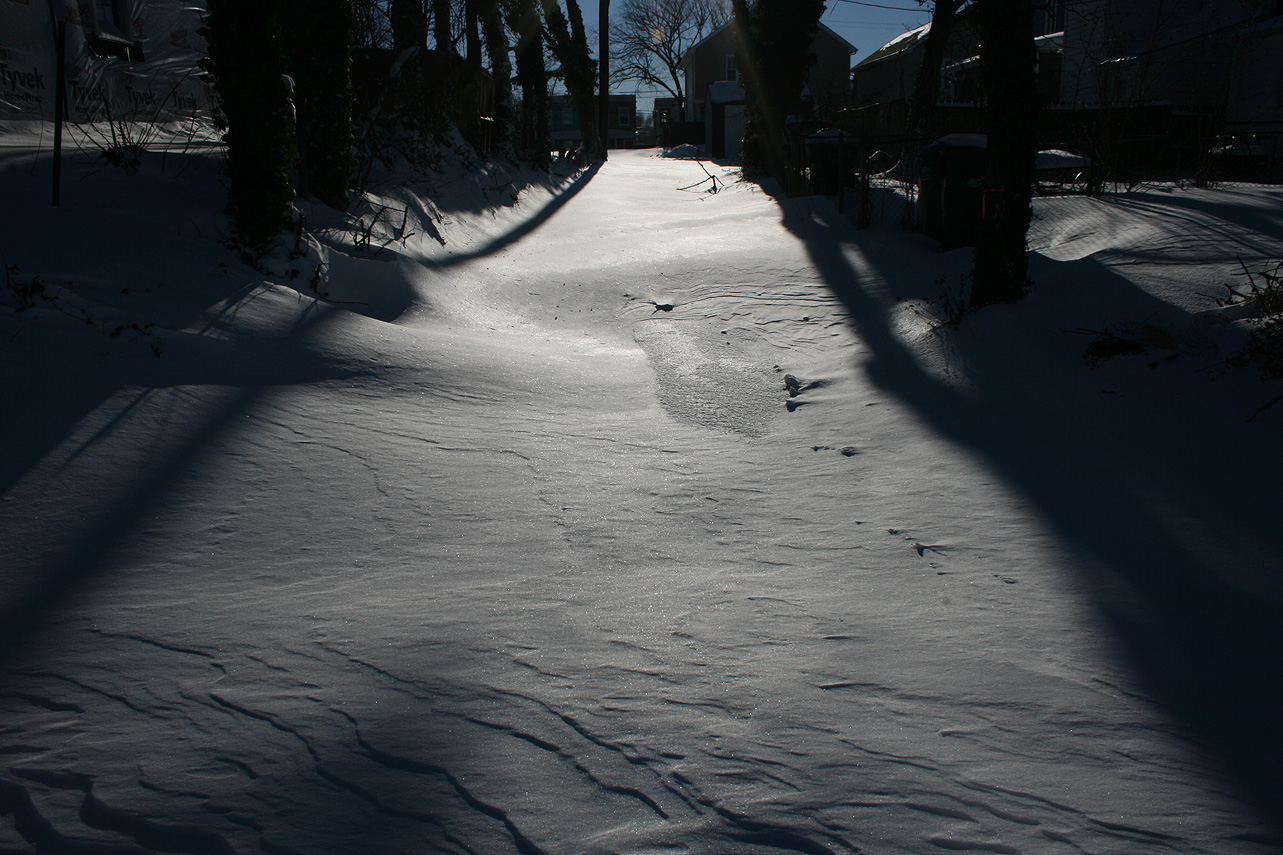
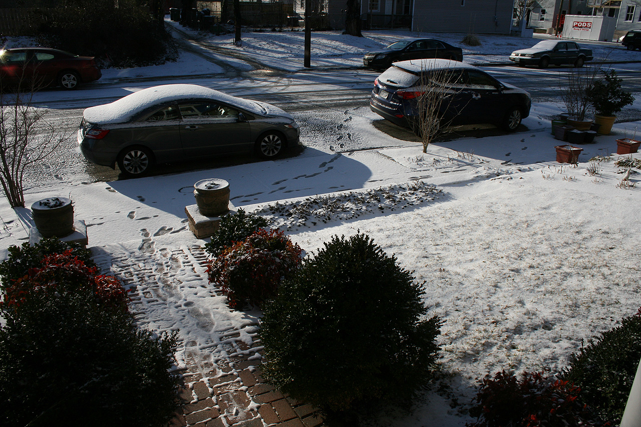
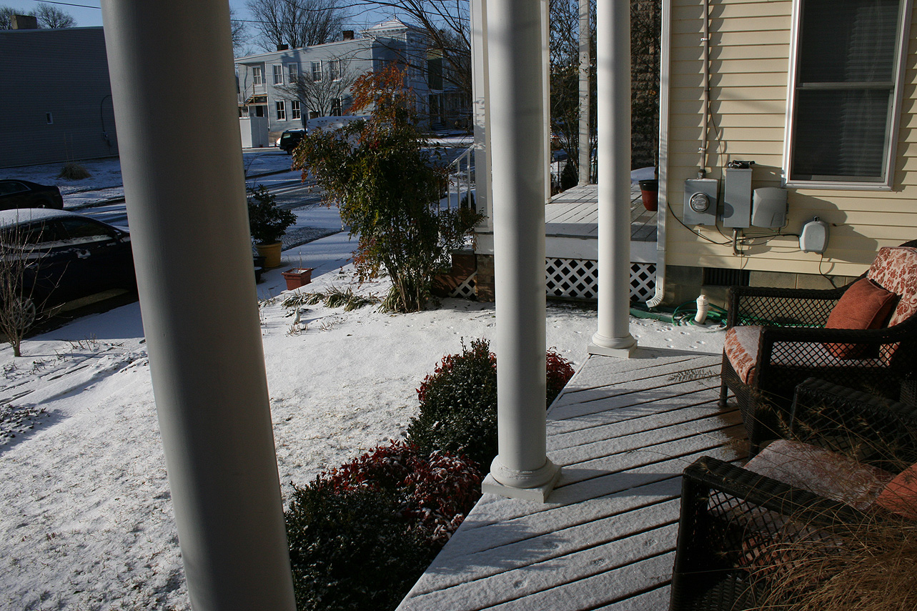
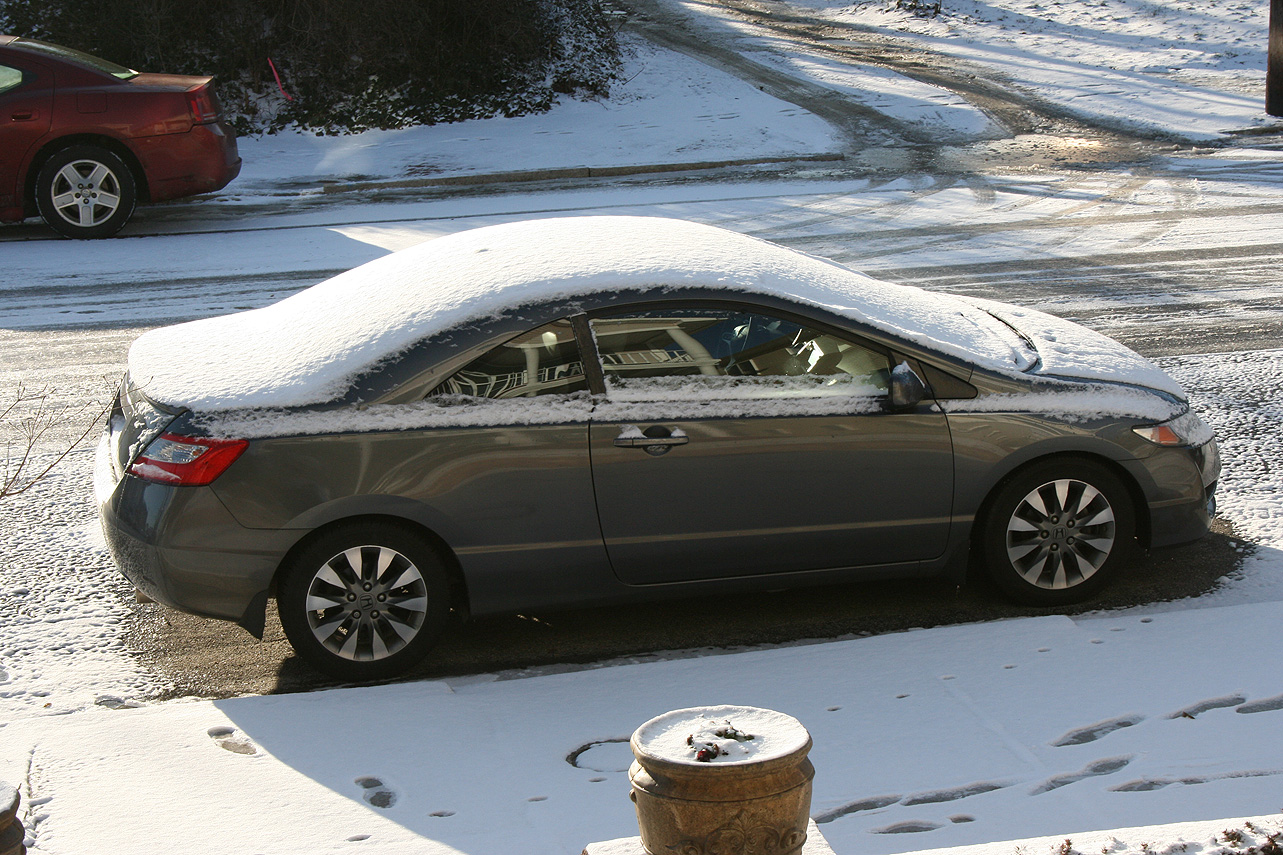
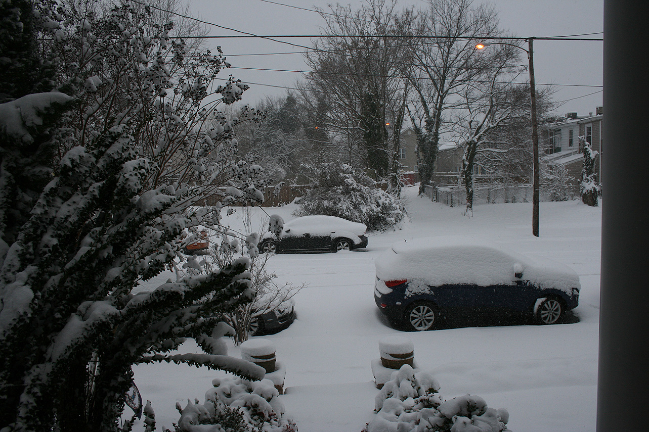
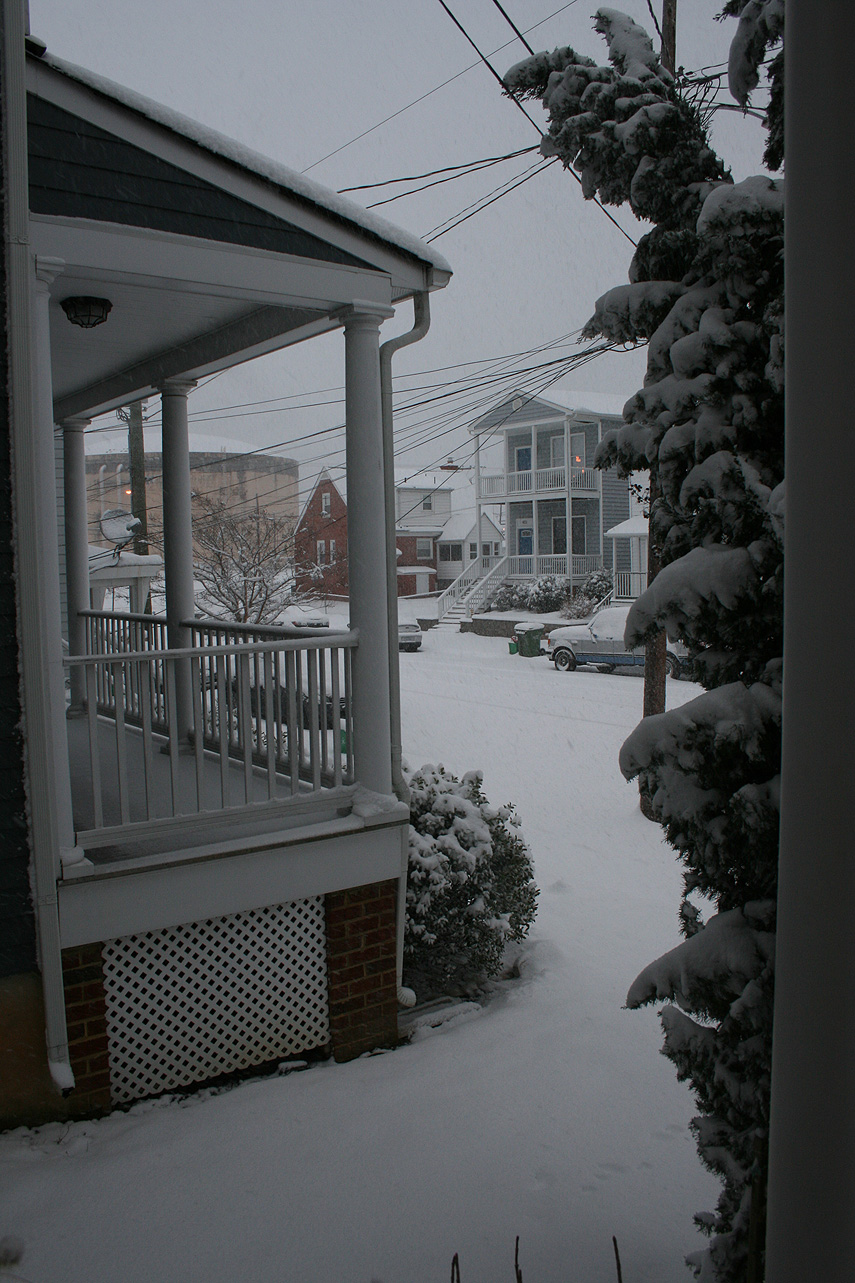
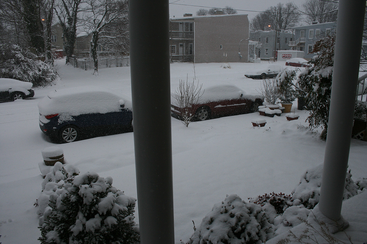
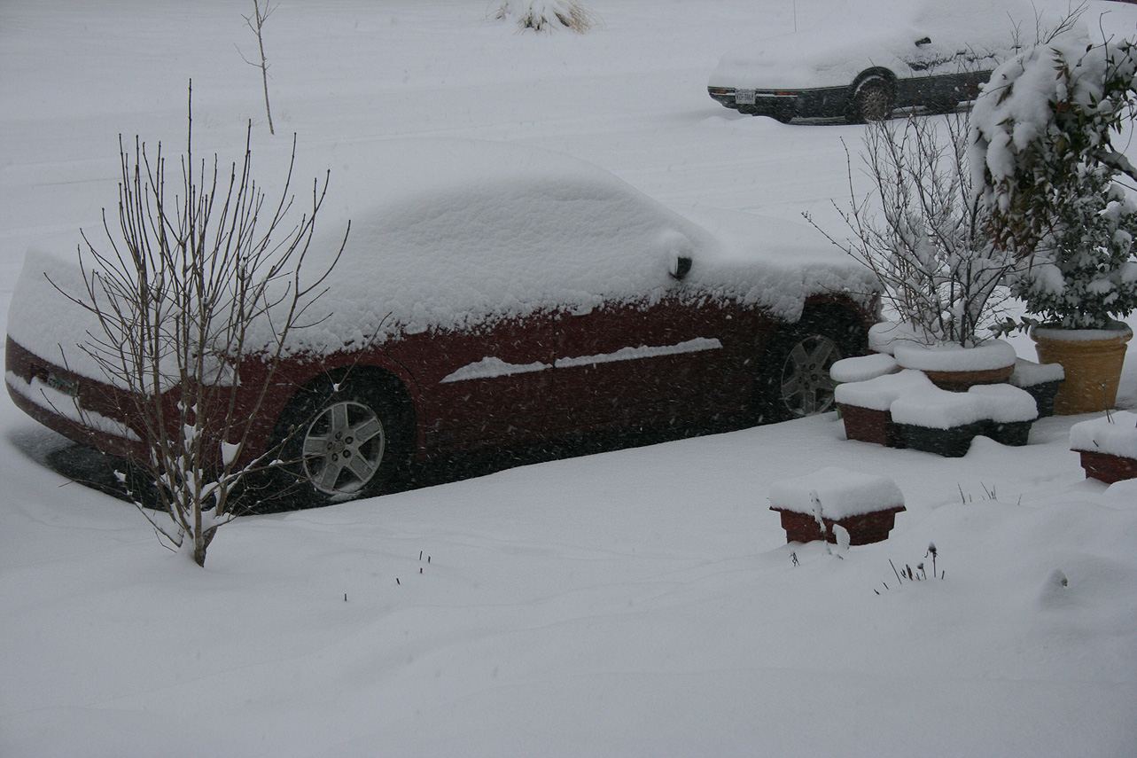
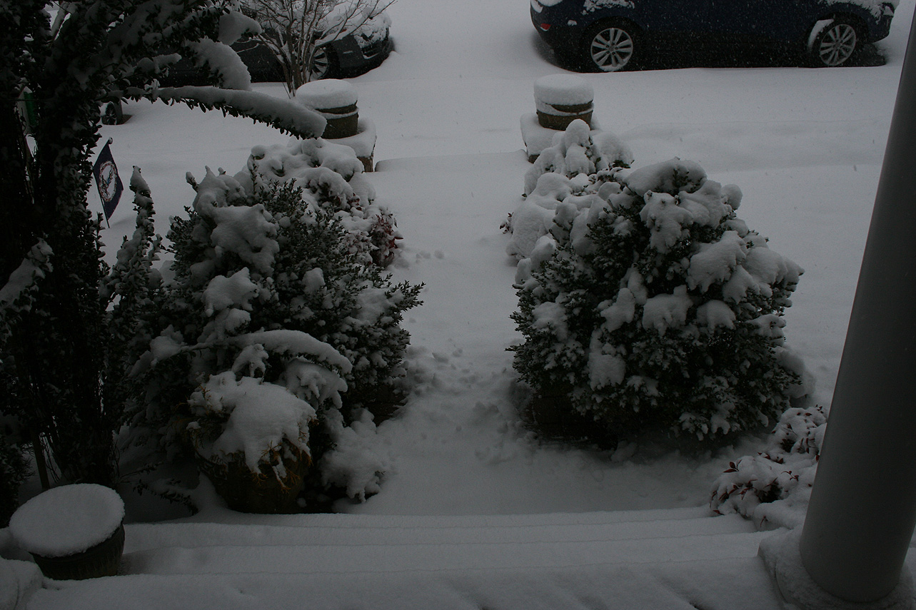
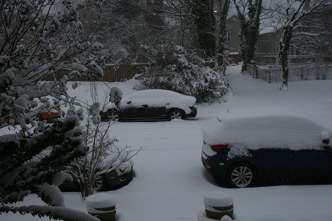
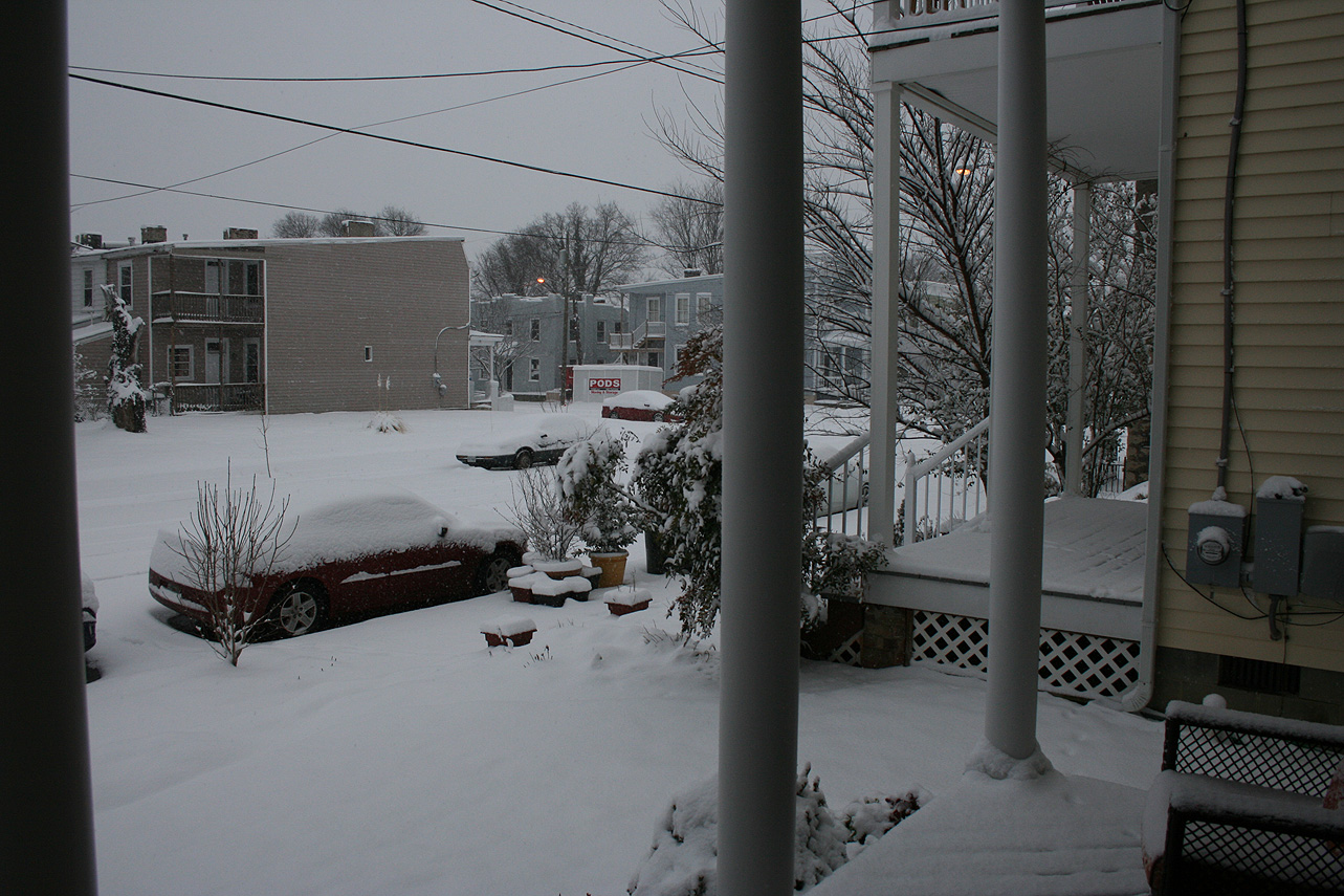
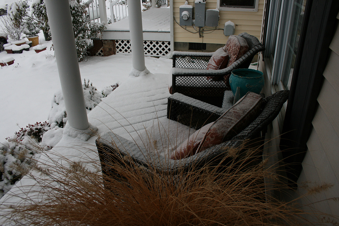
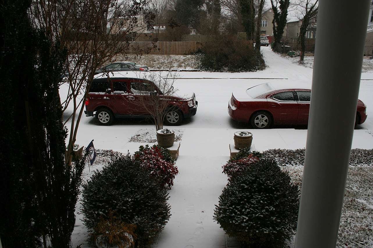
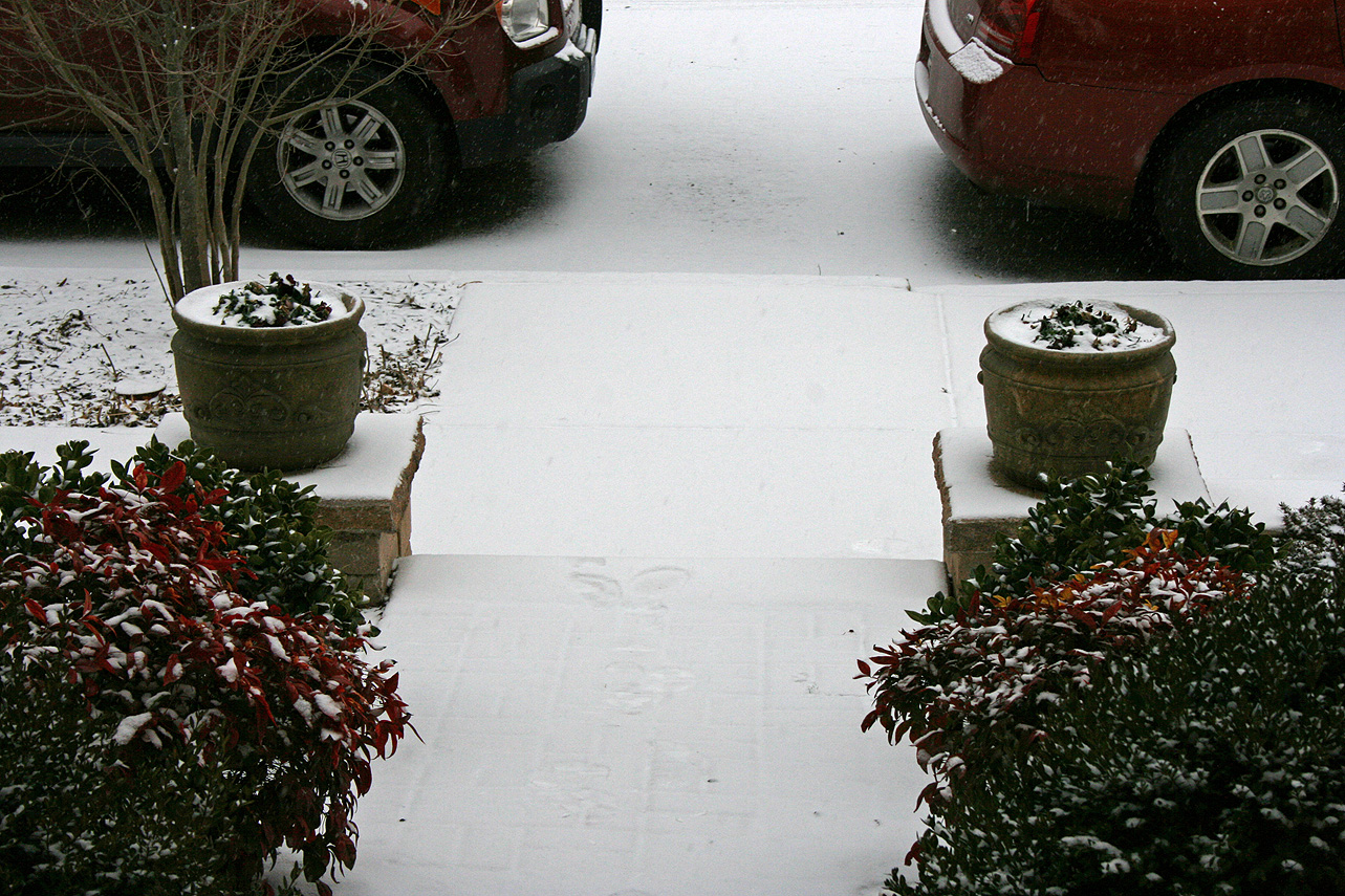
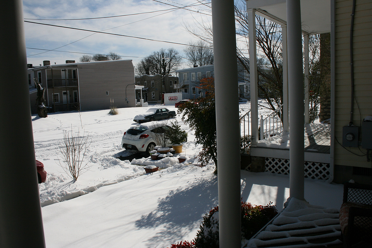
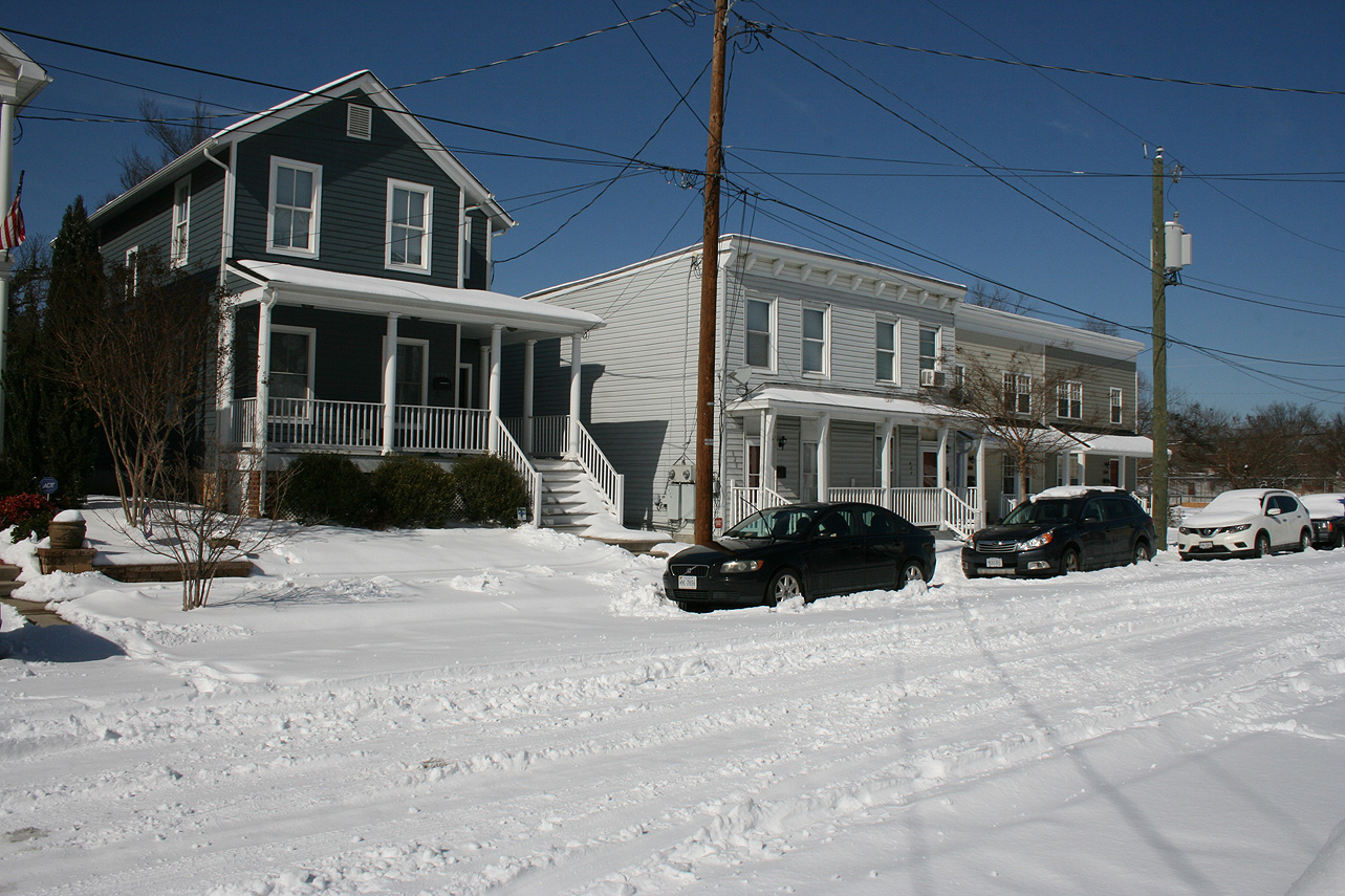
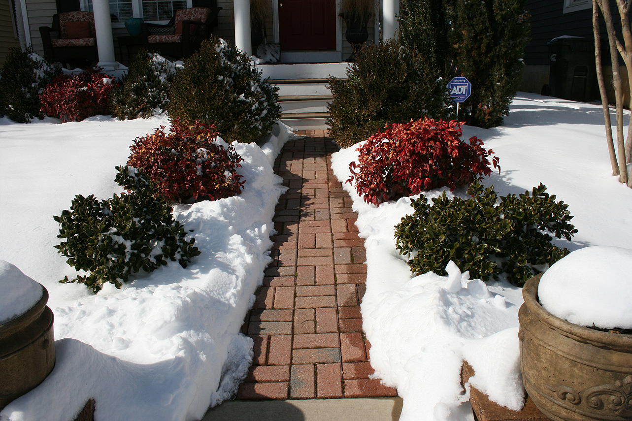
Church Hill Storm Observation Summary:
* Place – Time: Church Hill, (2/15/2016)
* Temperature: 23-, During Event
* Winter Weather Watch/Warning/Advisory: Watch & Advisory
* Closings: All local school districts were closed on 2/15, Chesterfield County Government was also closed on 2/15.
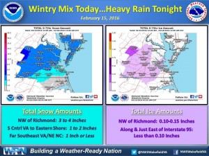
* Predicted Totals: Between 2-3″ before the storm. NWS updated to 2-4″ the morning of the event.
* Road Conditions: All roads had substantial snow and ice accumulation on them.
* Precipitation Description: Snow, sleet and freezing rain. Snow began around 4:00 AM. Snow transitioned to sleet and light freezing drizzle around 10:30 AM.
* Total Precipitation: 1.25″ of snow with minor icing occurring from about 10:30 AM until 5 PM in the afternoon. 1.4″ of snow was reported at the Richmond airport.
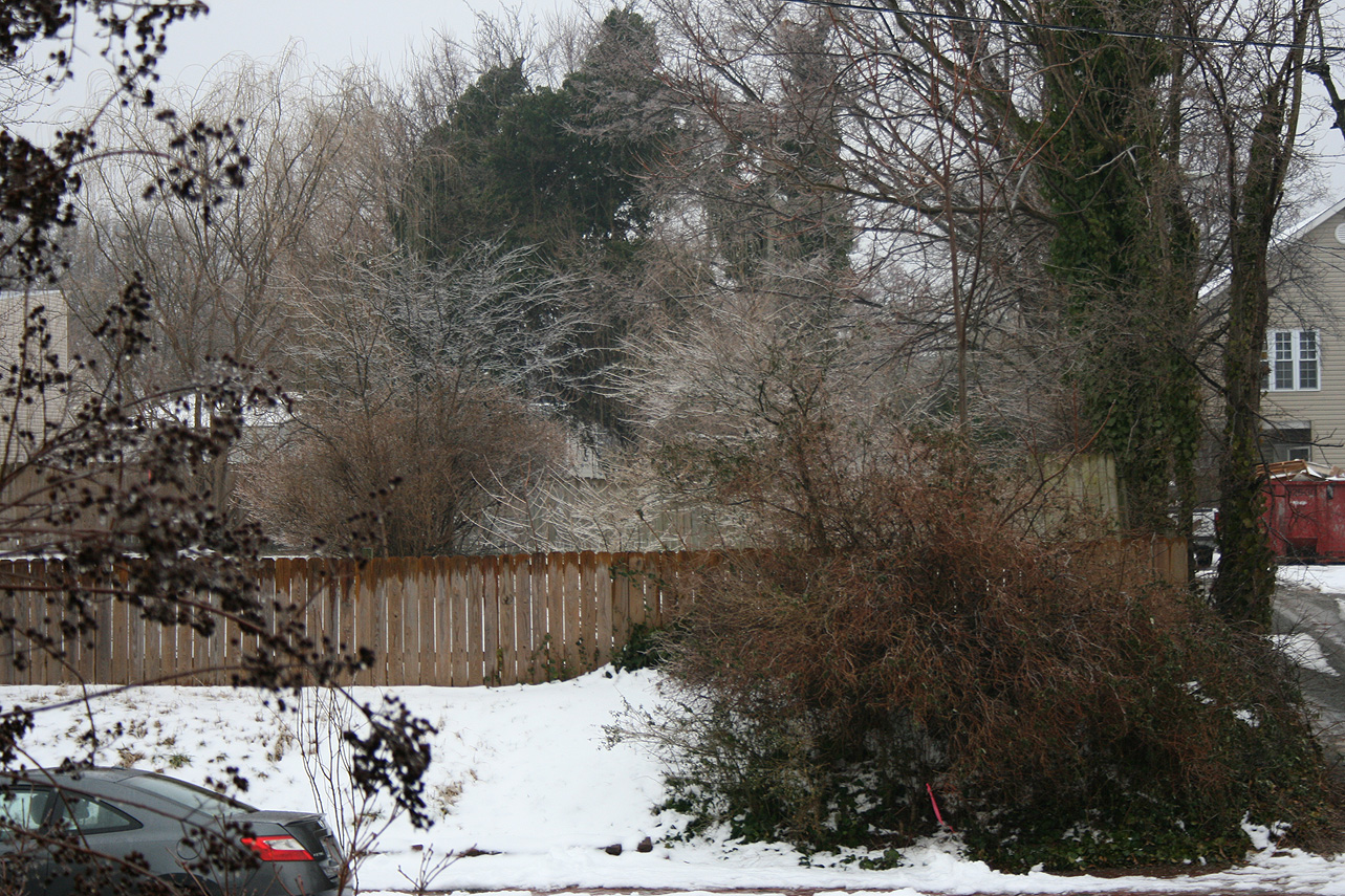
* Comments: Snow began in the early morning hours with about a 0.5″ accumulating on all surfaces by 8 AM. Snow changed to sleet and freezing drizzle at around 10:30 AM. The system eventually transitioned to rain by 5 PM.
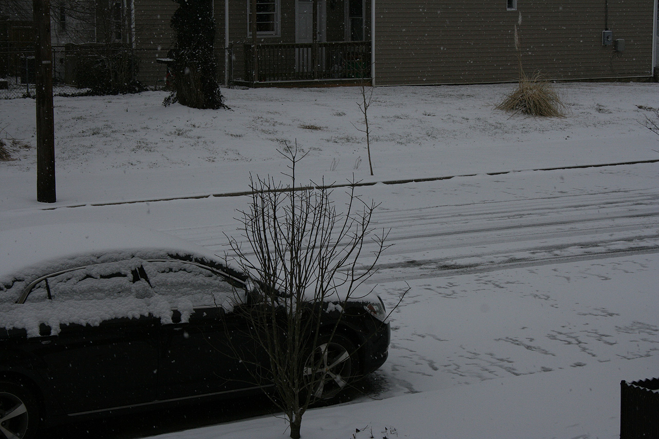
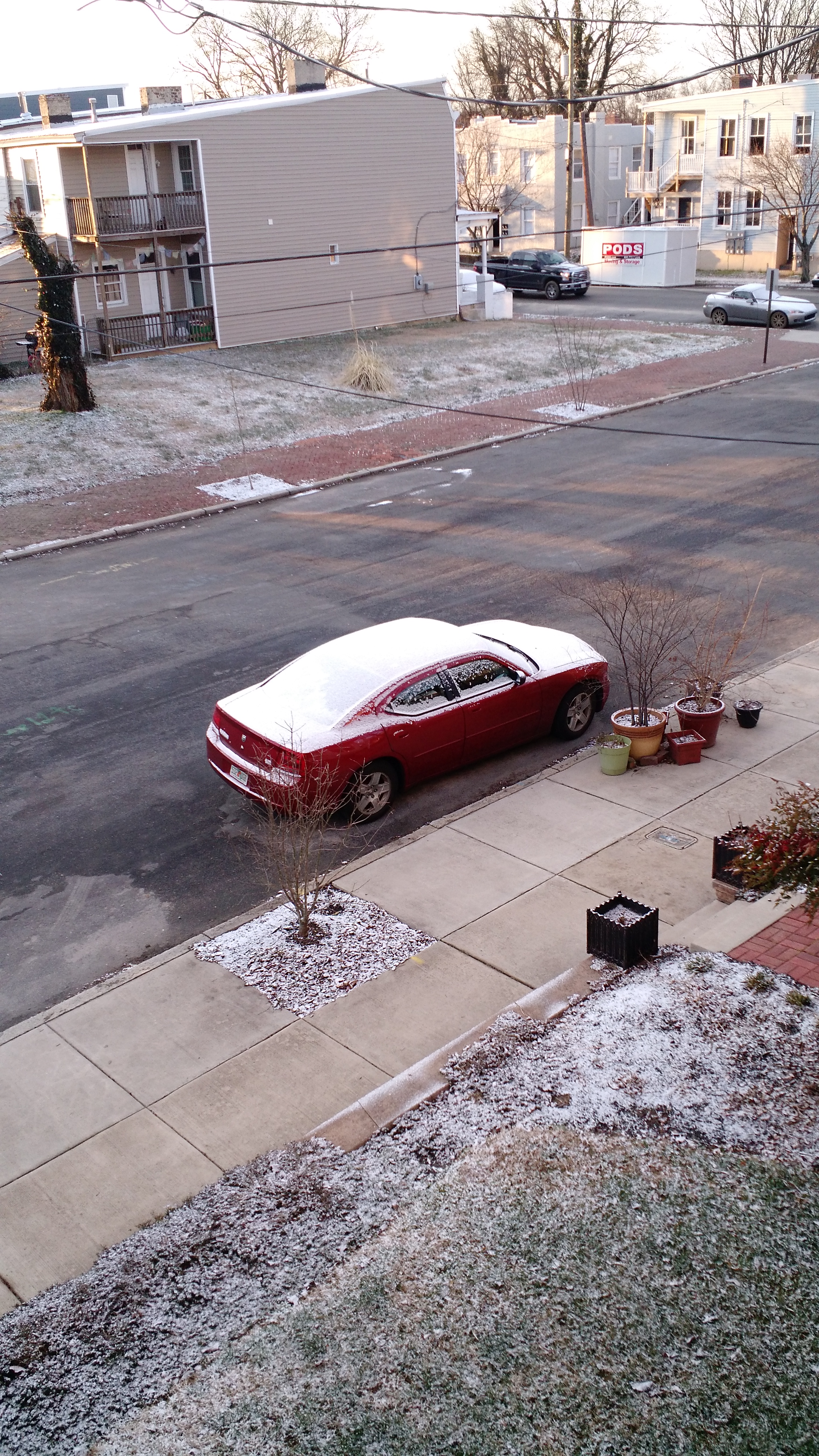
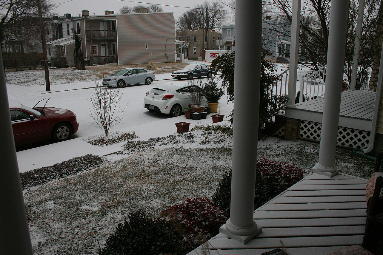
We woke up on the morning of 2/10/2016 to find a light dusting of snow on most surfaces. An arctic front following a decent sized snow event for Hampton Roads brought us a quick dusting during the early morning hours (4-6 AM).
Church Hill Storm Observation Summary:
* Place – Time: Church Hill, (1/20/2016)
* Temperature: Unknown (Vantage Pro 2 Malfunction)
* Winter Weather Watch/Warning/Advisory: None
* Closings: N/A
* Predicted Totals: None.
* Road Conditions: Light snow accumulations on pavement. Accidents due to snow reported around the area.
* Precipitation Description: Snow, which began at 4:00 AM and ended around 6:00 AM.
* Total Precipitation: 0.1″ of snow. 0.4″ of snow was reported at the Richmond airport.
* Comments: An arctic front brought a surprise batch of moisture through the area, mainly from Richmond to the north and east (Northern Neck).
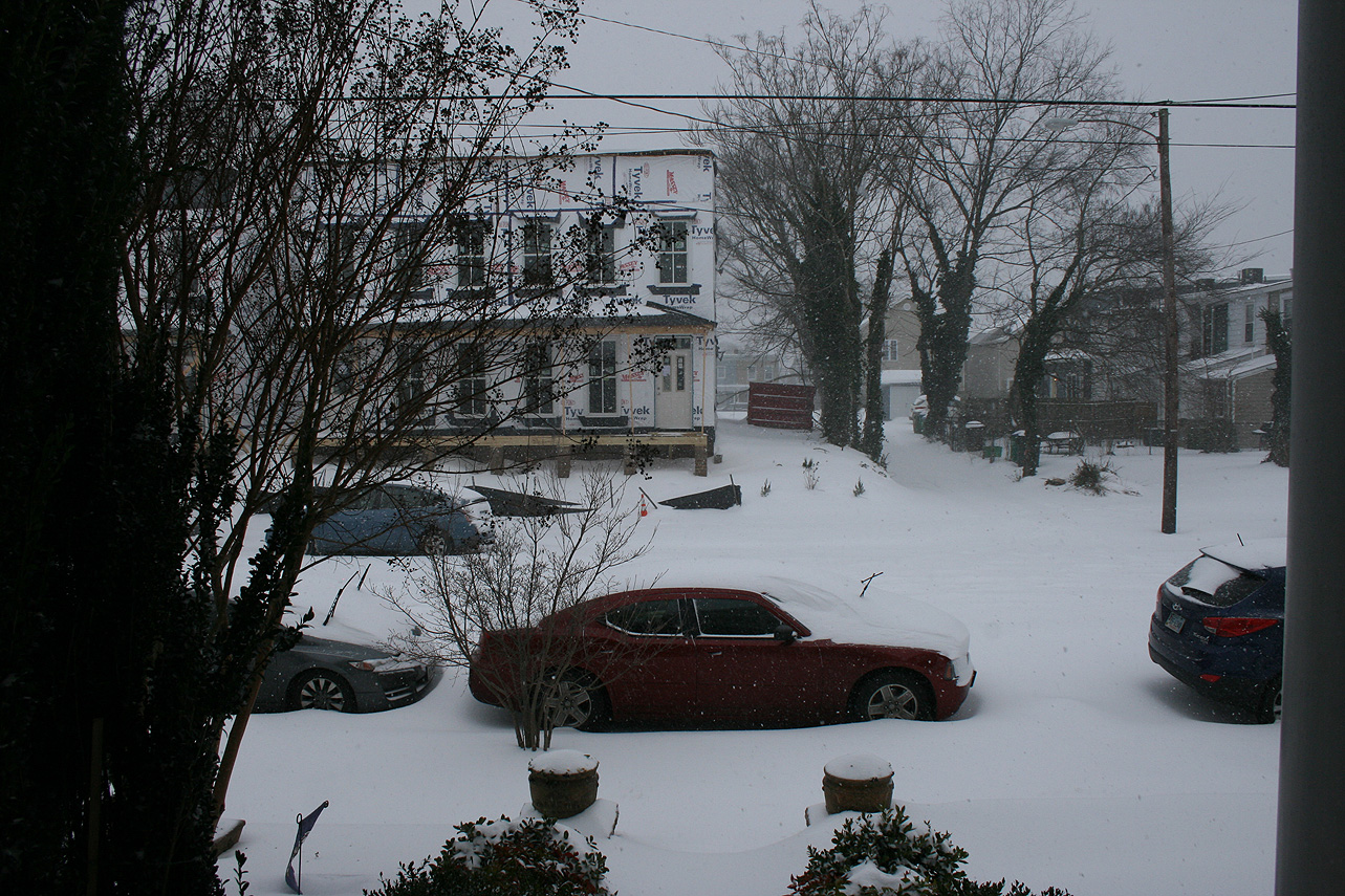
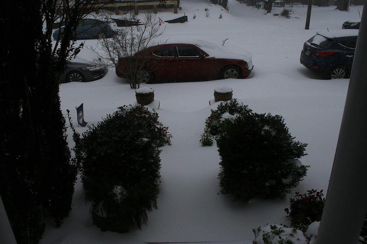
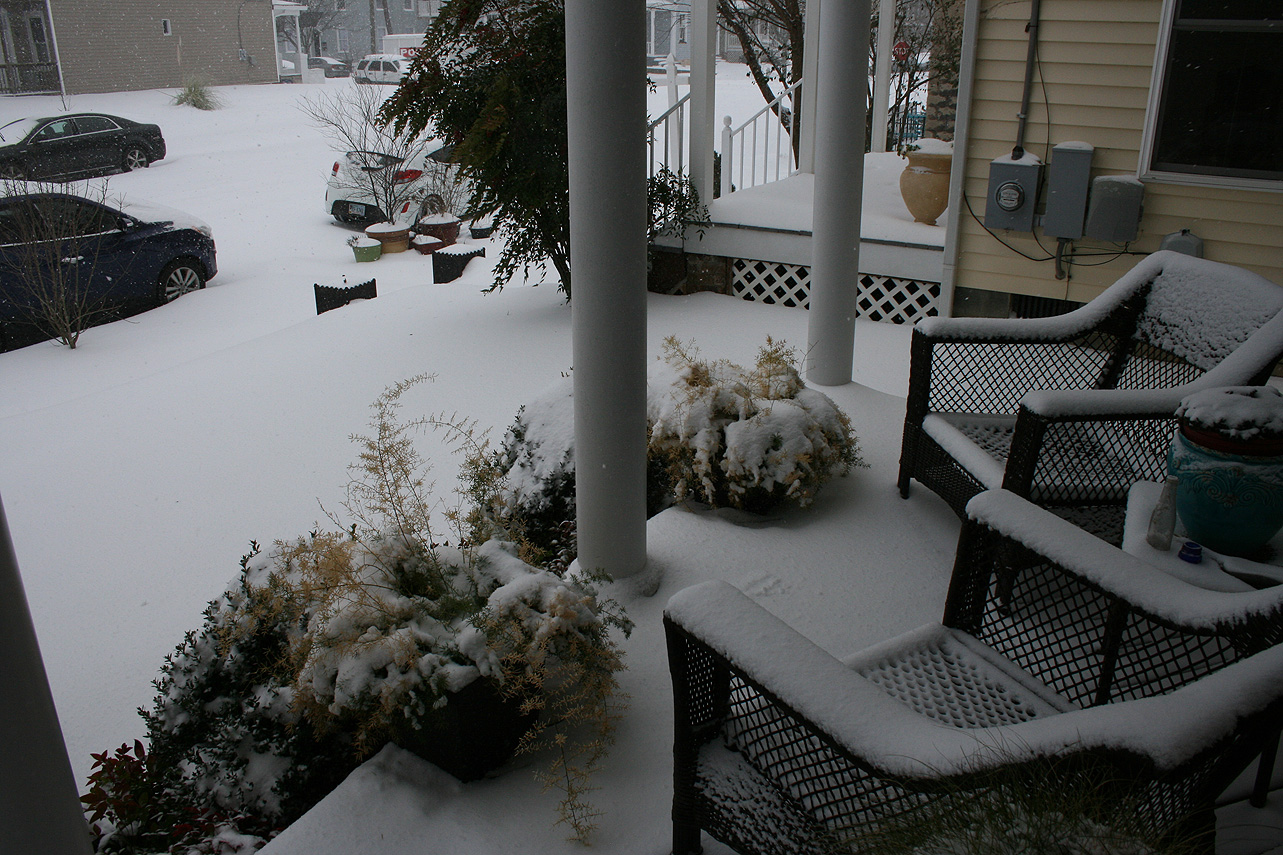
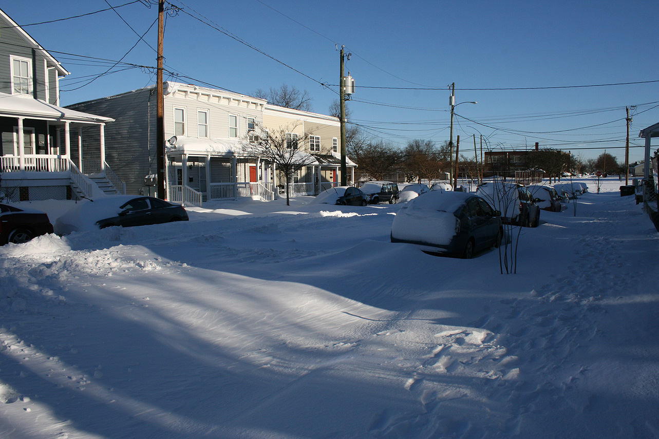
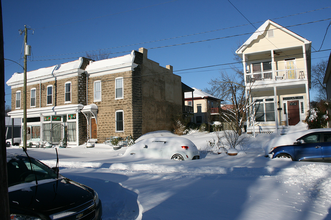
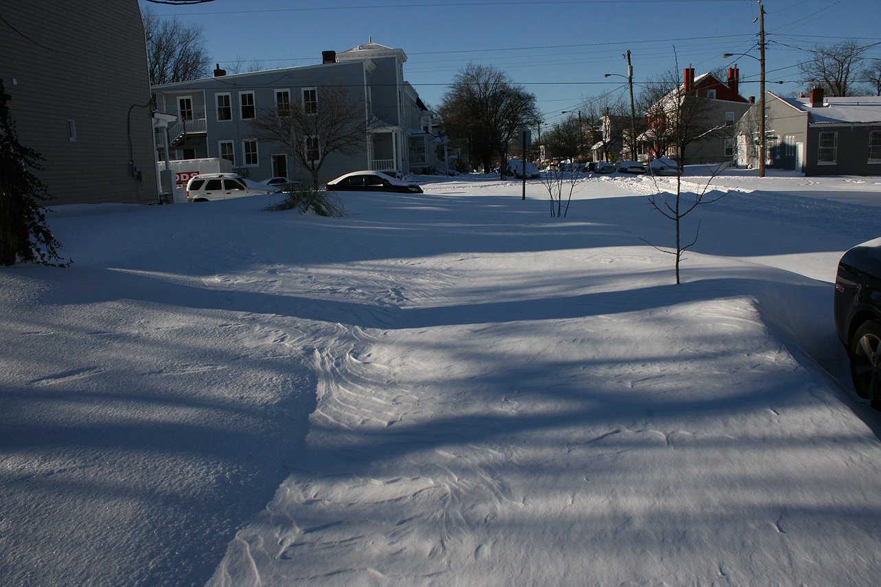
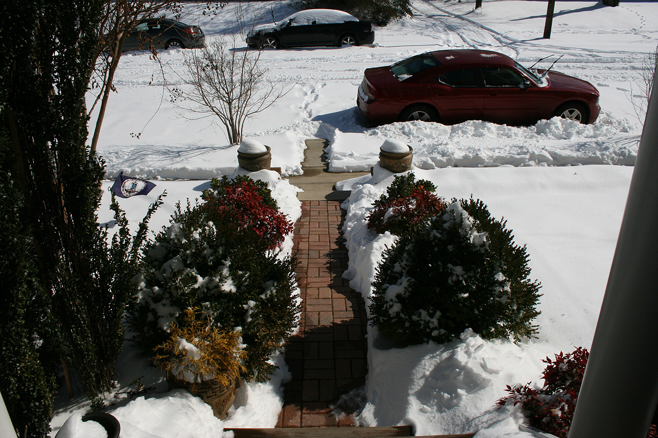
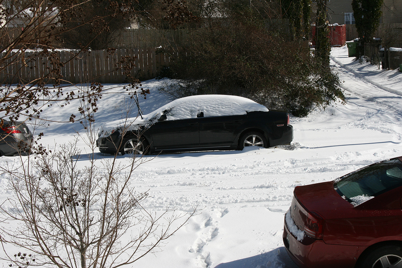
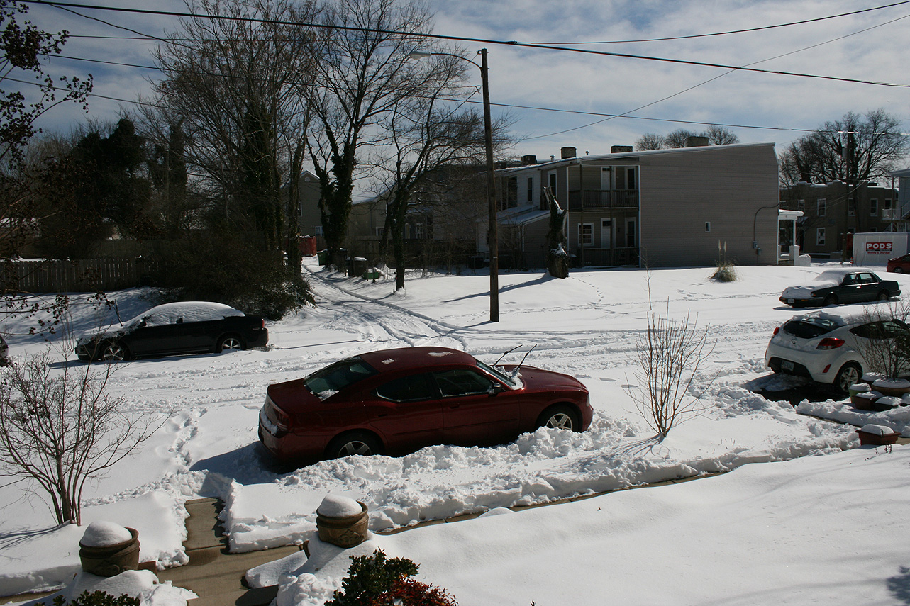
Church Hill Storm Observation Summary:
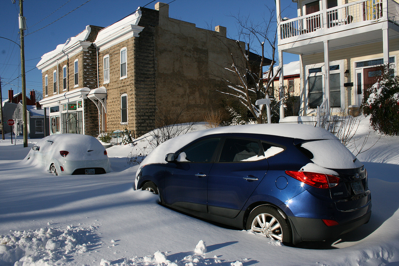
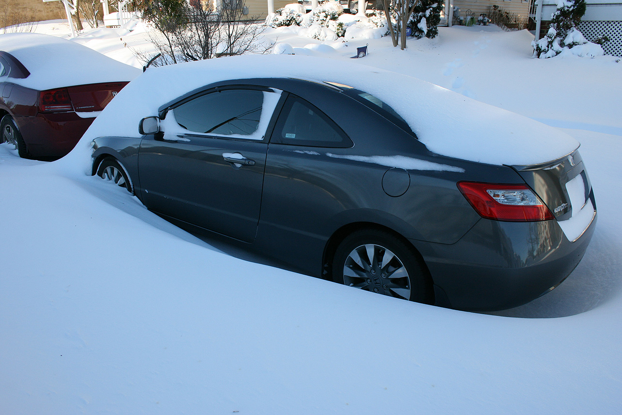
* Place – Time: Church Hill, (1/22 – 1/23/2016)
* Temperature: 26-28, During Event
* Winter Weather Watch/Warning/Advisory: Watch & Warning
* Closings: All local school districts were closed on 1/22, 1-25 thru 1/27, Chesterfield County Government was closed on 1/22 & 1/25-26.
* Predicted Totals: Between 7-14″ before and the morning of the storm.
* Road Conditions: All roads had substantial snow and ice accumulation on them.
* Precipitation Description: Snow and sleet. Snow began around 9:30 AM to 10:00 AM on 1/22. Snow transitioned to sleet around 5:30-6 PM on 1/22. Snow began once again around 7 AM on 1/23.
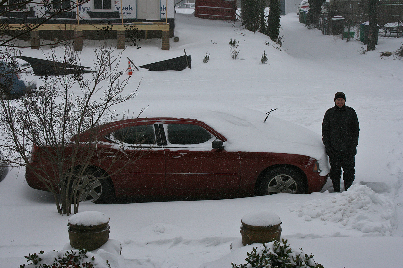
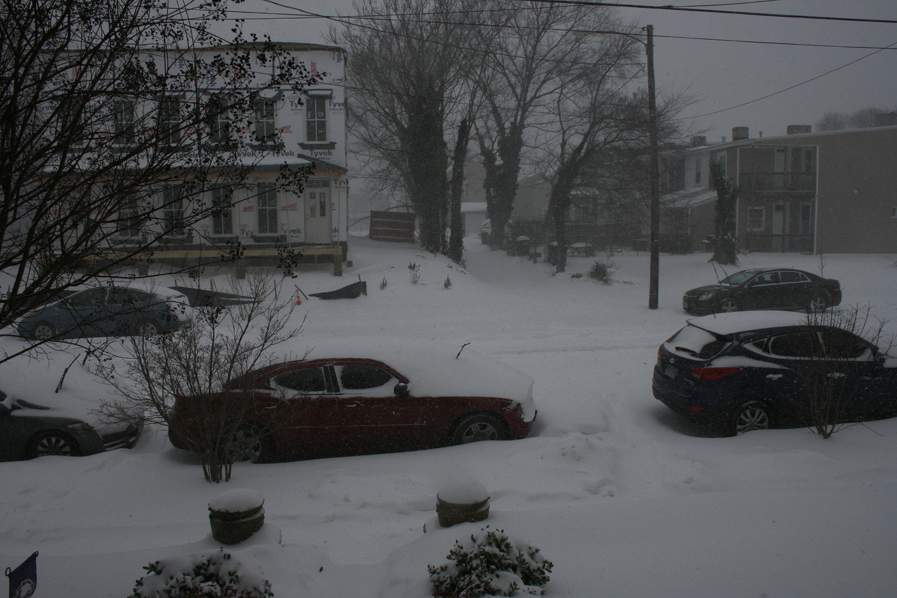
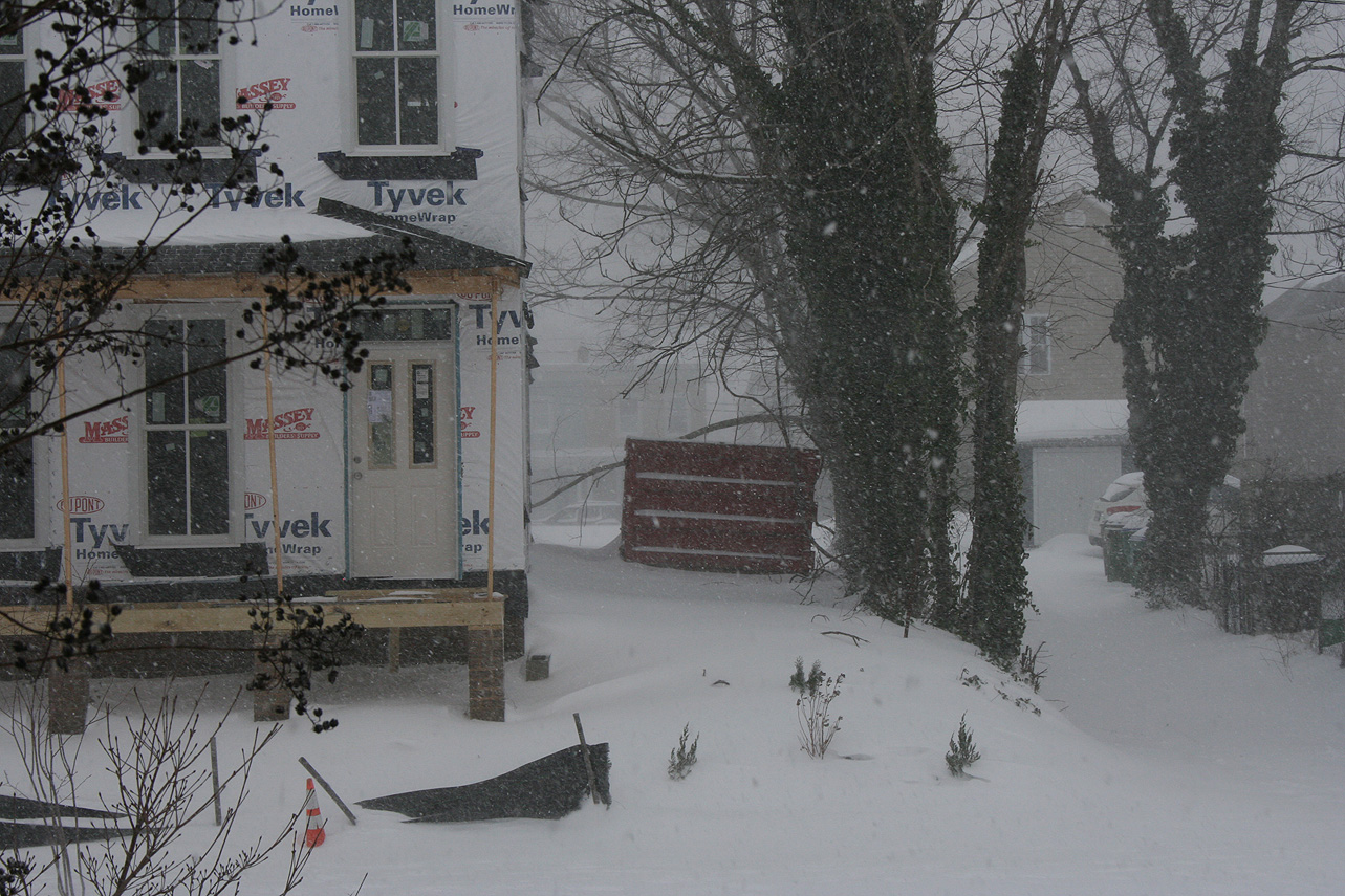
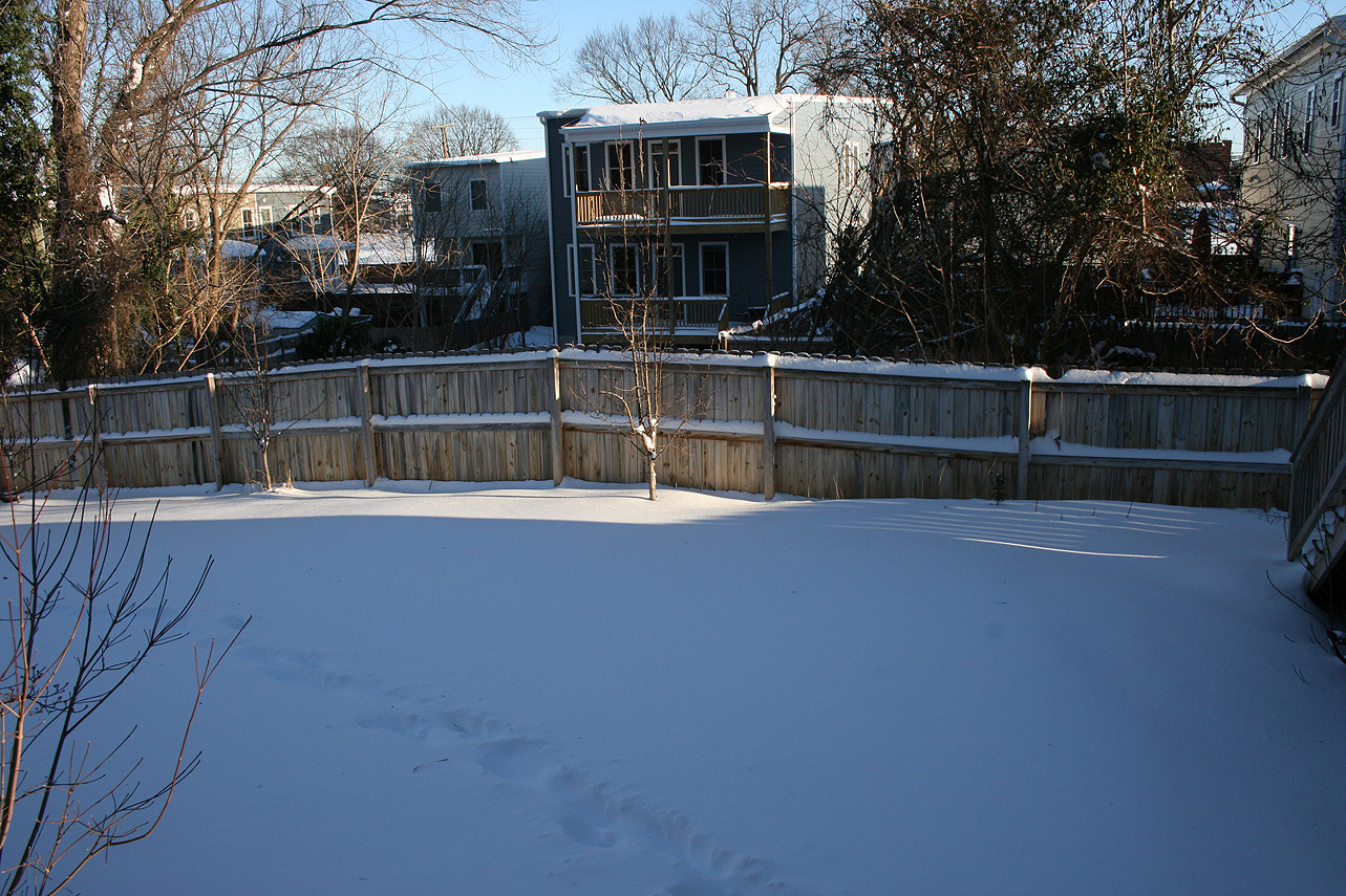
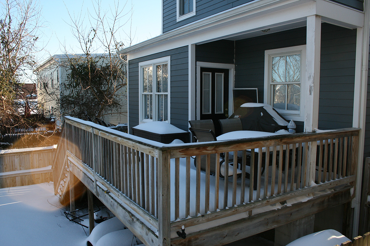
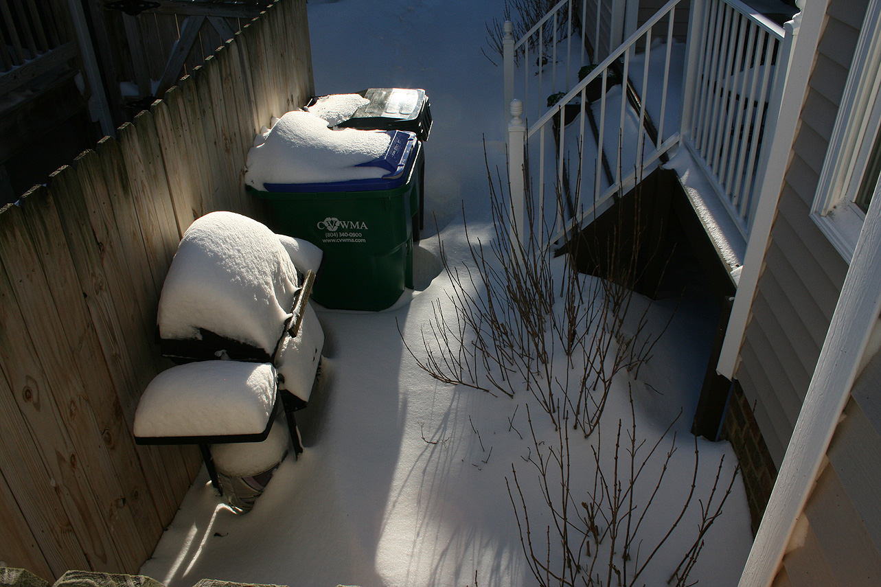
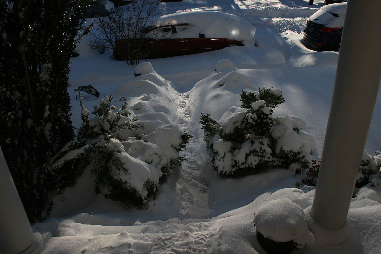
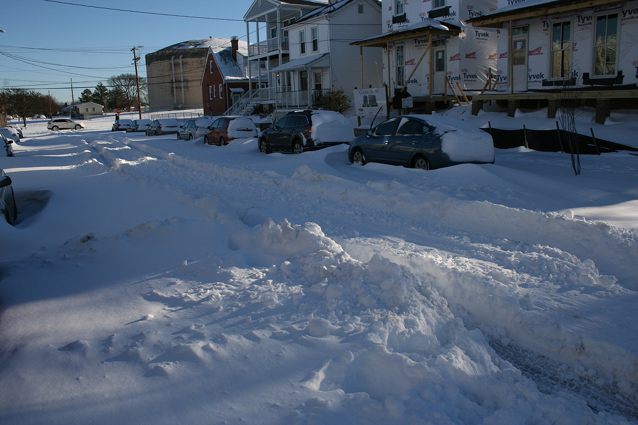
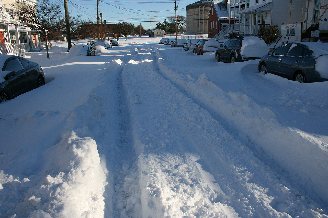
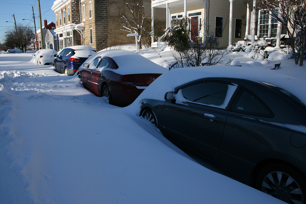
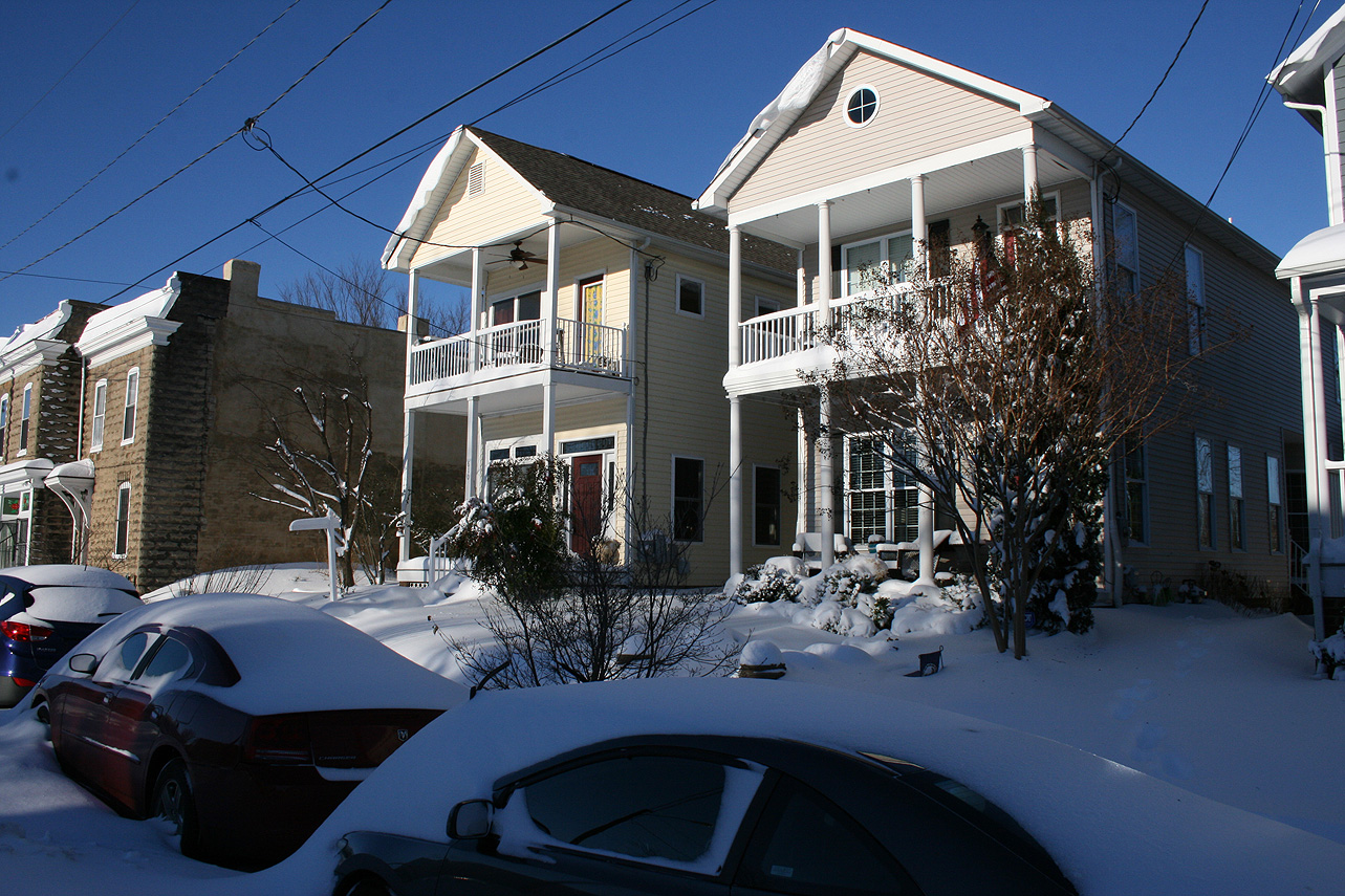
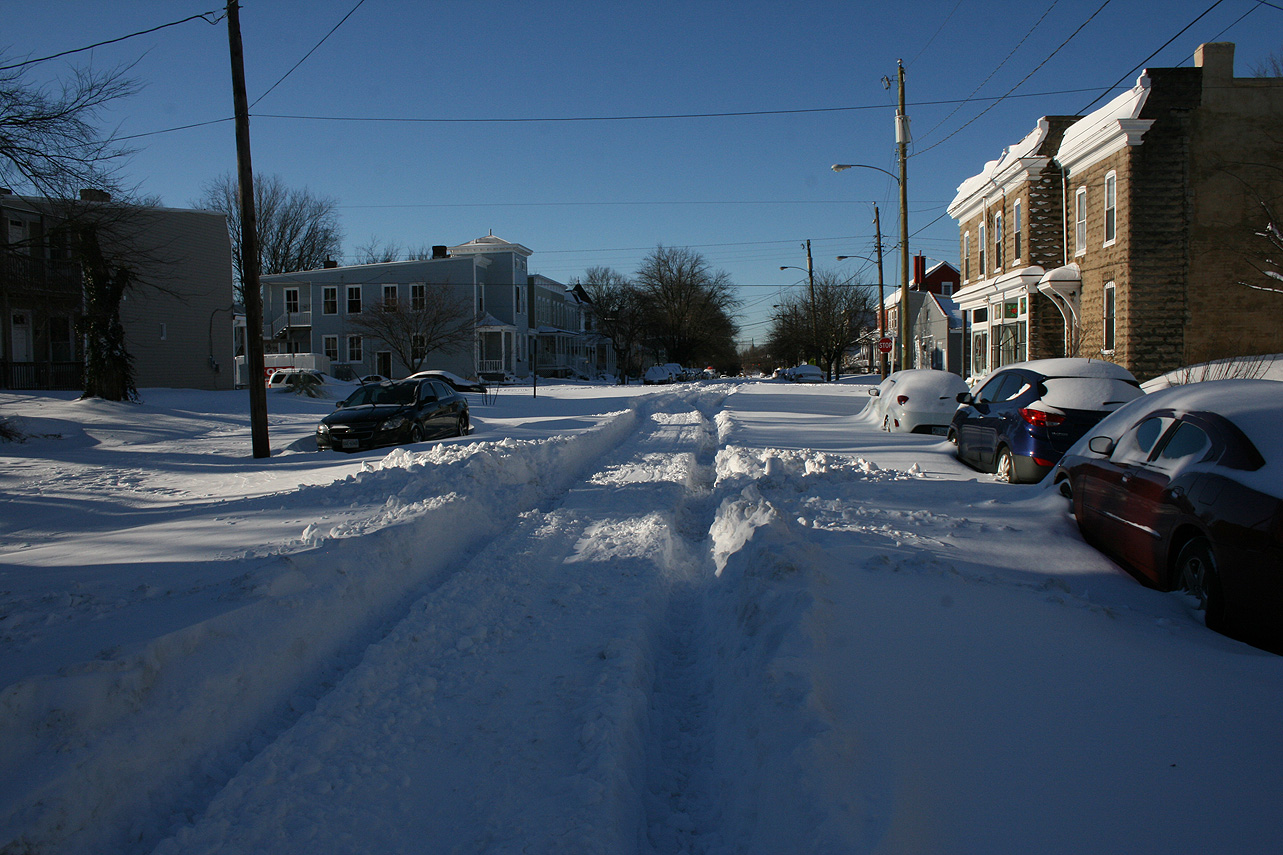
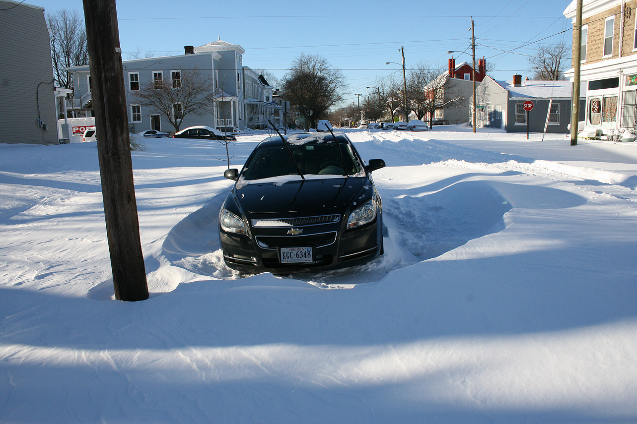
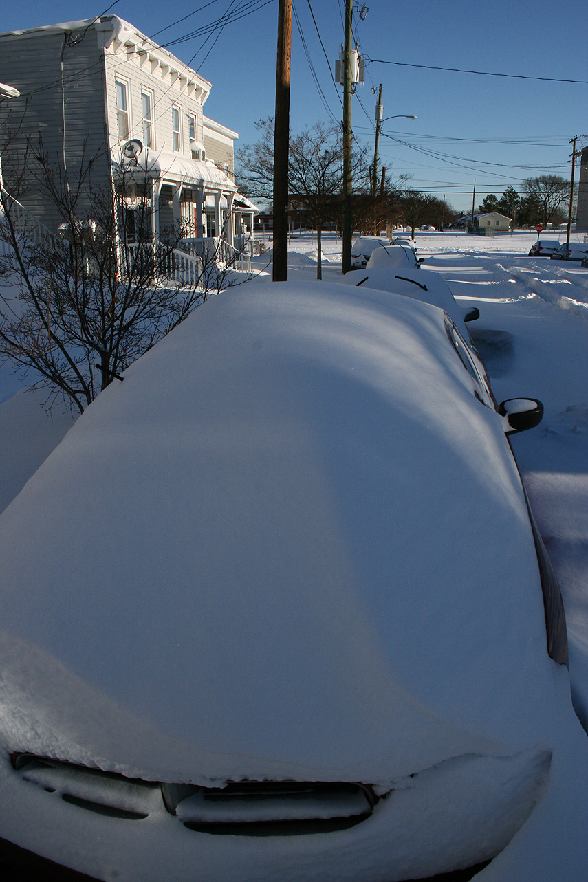
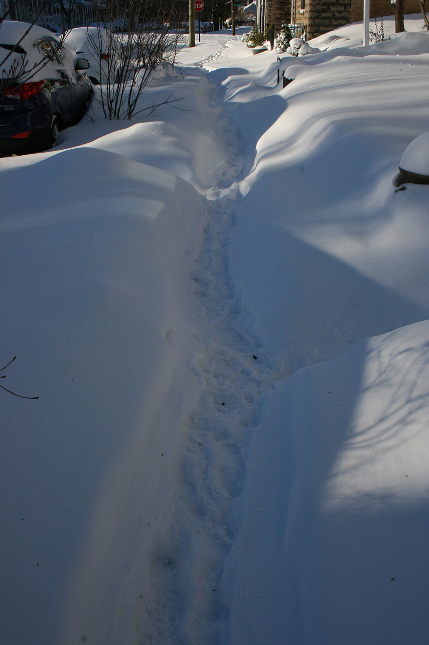
* Total Precipitation: 12.5″ of snow and sleet (5″ snow to 1.5″ of sleet to 6″ of snow). Measurements ranged from 10-18″ around the block. High winds caused drifting, with snow banks between 2-3′ tall. Sleet provided compaction to the snow depth. 11.4″ of snow was reported at the Richmond airport. This was the 11th highest storm total at the Richmond airport.Locally heavier snow to the north of Richmond.
* Comments: A complex storm system tracked across the country, including a multi-phased low-pressure system that transitioned to a low-pressure system off the North Carolina coast. The low-pressure system then tracked north to the Chesapeake Bay, causing snow in Central Virginia (and as far west as Lynchburg & Charlottesville) to transition to sleet. Heavy sleet and a dry slot occurred the night of 1/22 into 1/23. The morning of 1/23, precipitation redeveloped along a deformation band stretching along I-95 from NC to Washington DC. The snow fell moderate to heavy from 11 AM to 6 PM. Wind gusts from 30-45 MPH (43 MPH at the airport) caused near blizzard conditions during the afternoon. Snow tapered off by 10 PM on 1/23.
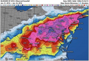
Snow impacted Arkansas up to southern New England. This storm was known as “Jonas” by TWC and the Blizzard of 2016 in other news outlets. Impacts in DC to NYC were extreme, where totals exceeded 2′ of snow.
Church Hill Storm Observation Summary:
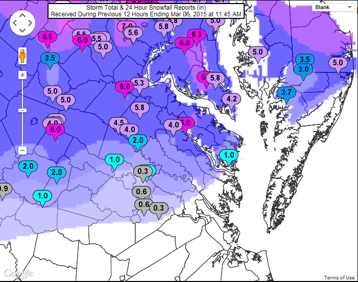
* Place – Time: Church Hill, (3/5/2015)
* Temperature: 28-34, During Event
* Winter Weather Watch/Warning/Advisory: Advisory
* Closings: All local school districts were closed on 3/5 and 3/6, Chesterfield County Government closed early on 3/5 and a 2-hour delay on 3/6.
* Predicted Totals: Between 2-3″ and 1-2″ the day before and day of the event.
* Road Conditions: All roads had snow and ice accumulation on them.
* Precipitation Description: Sleet, which began at 11:30 AM on 3/5, ended around 8 PM on 3/5.
* Total Precipitation: 0.5″ of snow. 0.3″ of snow was reported at the Richmond airport. Locally heavier snow to the north and west of Richmond.
* Comments: An arctic front crossed the region during the early morning hours of 3/5. Rain transitioned to sleet and freezing rain for several hours in the early afternoon. Precipitation transitioned to snow for the last hour of precipitation, dropping a 0.3-0.4″ of snow on top of the sleet accumulation. The temperature plunged to 15.7 degrees the following morning on 3/6.
Church Hill Storm Observation Summary:
* Place – Time: Church Hill, (3/1/2015)
* Temperature: 27-32, During Event
* Winter Weather Watch/Warning/Advisory: Advisory
* Closings: None.
* Predicted Totals: Less than ¼”.
* Road Conditions: Minor accumulation on roads. Roads were mainly wet during the event.
* Precipitation Description: Sleet and Freezing Rain/Drizzle, which began around 10:00 AM on 3/1 and ended around 5 PM that afternoon. Sleet quickly changed to all freezing rain/rain by 11 AM.
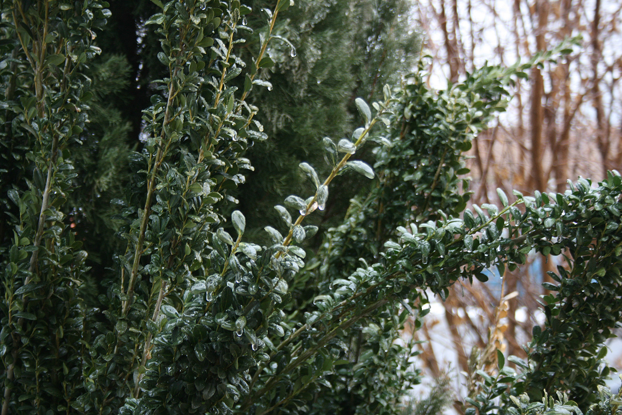
* Total Precipitation: 0.03″ of primarily freezing rain. 0.16″ of precipitation was reported at the Richmond airport. A system overriding a recent cold surge into the Virginia Piedmont created a minor ice event for the Richmond metro area. Elevated surfaces and trees accumulated the most ice. A winter storm advisory was issued the evening before the event to notify residents of minor ice accumulations. No major power outages were associated with this storm.
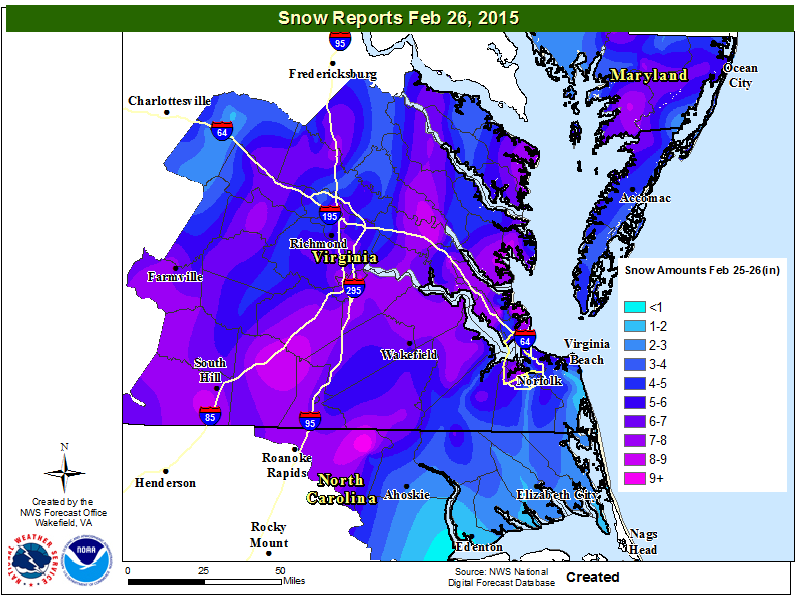
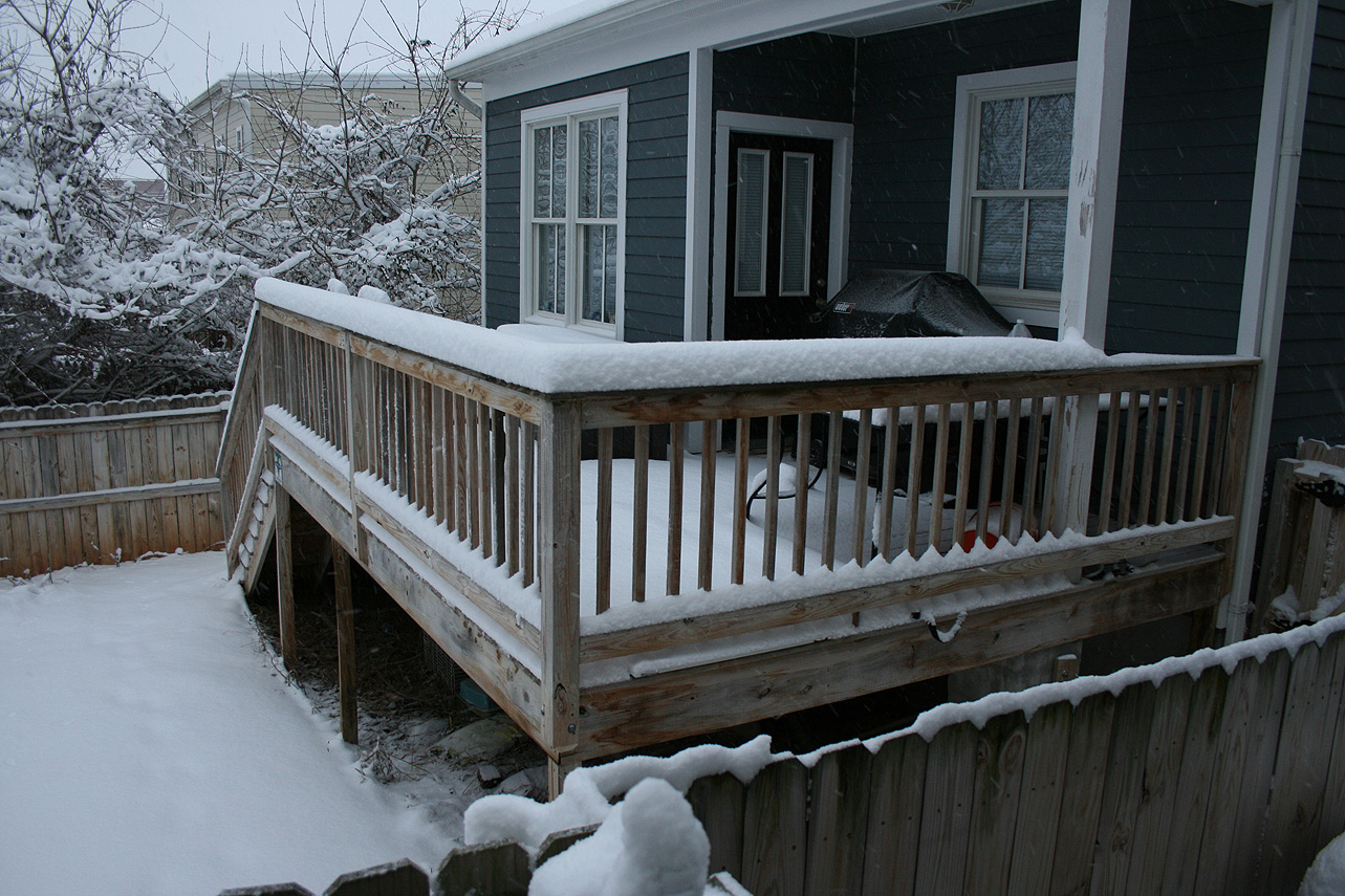
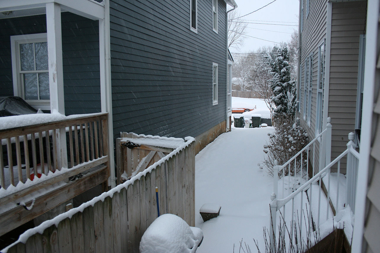
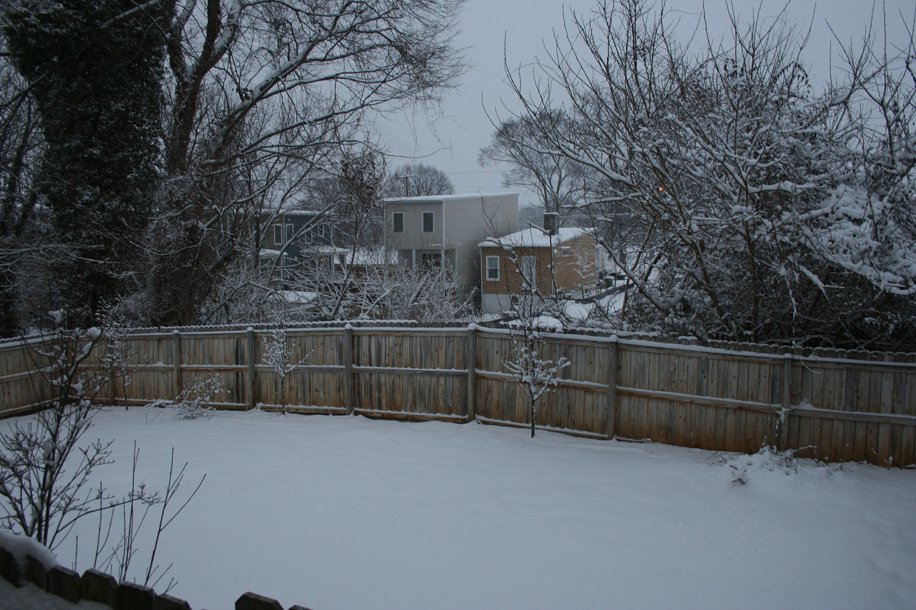
Church Hill Storm Observation Summary:
* Place – Time: Church Hill, (2/26/2015)
* Temperature: 30-32, During Event
* Winter Weather Watch/Warning/Advisory: Watch & Warning
* Closings: All local school districts were closed on 2/26 and 2/27, Chesterfield County Government closed on 2/26.
* Predicted Totals: Between 3-6″ and 4-8″ the day before and day of the event.
* Road Conditions: All roads had snow accumulation on them. Local streets were covered at the onset of the snow.
* Precipitation Description: Snow, which began at 1:30 AM on 2/26, ended around 10 AM on 2/26.
* Total Precipitation: 5.75″ of snow. 5.0″ of snow was reported at the Richmond airport. Locally heavier snow to the south and east of Richmond.
* Comments: A southern slider system that originated along the gulf coast, dubbed “Remus”, developed and slide up along the Carolina coast, east of Virginia Beach. Snow broke out after midnight and was heavy for 3-4 hours. The heaviest snow and accumulation occurred between 2 AM and 7 AM. This was a wetter snow, which allowed it to cling to the trees and power lines. Impacts from snow to the Richmond area were significant from this storm.
Church Hill Storm Observation Summary:
* Place – Time: Church Hill, (2/17/2015)
* Temperature: 17-20, During Event
* Winter Weather Watch/Warning/Advisory: Watch & Warning
* Closings: All local school districts closed on 2/17, Chesterfield County Government closed early on 2/16, and closed on 2/17. Delayed opening on 2/18.
* Predicted Totals: Between 6-10″ and 9-14″ the day before and day of the event.
* Road Conditions: All roads had snow accumulation on them. Local streets were covered at the onset of the snow.
* Precipitation Description: Snow, which began at 1 PM on 2/16 and ended around 7 AM on 2/17. Sleet mixed in overnight after 12 AM on 2/17.
* Total Precipitation: 6.0″ of snow. 6.9″ of snow was reported at the Richmond airport. Locally heavier snow to the west of Richmond. Sleet likely compacted measurement total in Richmond.
* Comments: A southern slider system that originated in Missouri/Arkansas, dubbed “Octavia”, developed and slide east through the Tennessee Valley, south of Virginia. Snow broke out during the day on 2/16 and was light until 6 and 7 PM. The heaviest snow and accumulation occurred between 7 PM and 12 AM. Sleet mixed with snow overnight, which limited snow totals. Impacts from snow and ice to the Richmond area were significant from this storm.
Church Hill Storm Observation Summary:
* Place – Time: Church Hill, (2/14/2015)
* Temperature: 31-44, During Event
* Winter Weather Watch/Warning/Advisory: None.
* Closings: None.
* Predicted Totals: Little to no accumulation was predicted for the event.
* Road Conditions: Slight impact to local roads, during heavy snowfall.
* Precipitation Description: Snow; which began around 8 PM and ended by 9 PM.
* Total Precipitation: Approximately 0.1″ of snow on most surfaces. A trace of snow/sleet or ice was reported at the Richmond airport.
* Comments: This was a short but intense event that accompanied the passage of an arctic front. Heavy snowfall rates coupled with gusts in the 45-50 MPH range (gust to 52 MPH at RIC airport) made for a dramatic snowfall event. Observations of lightening and thunder were observed in Church Hill. Overnight temperatures fell to 14 degrees on the 15th. Most of the accumulations evaporated by the morning of the 15th.
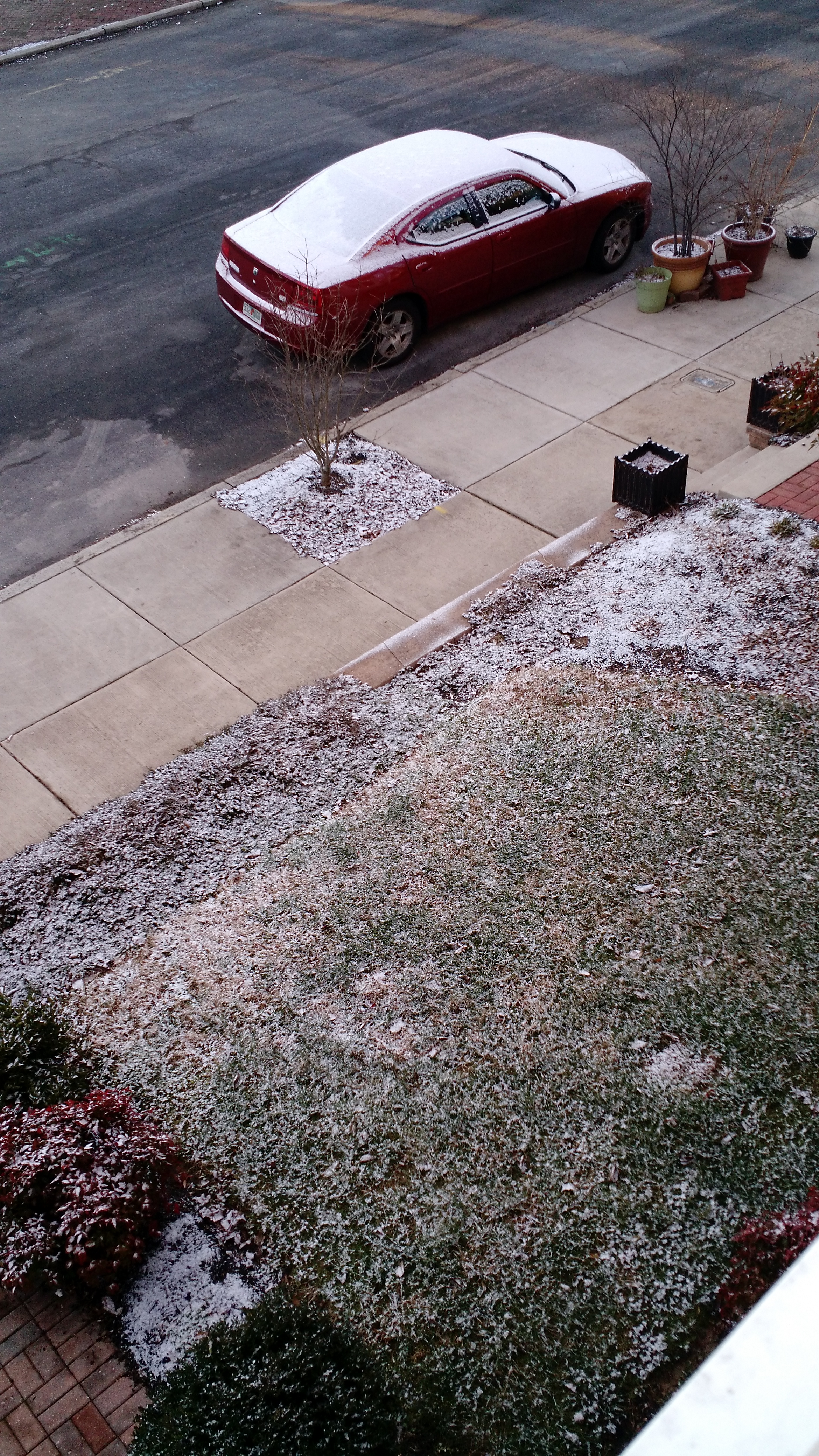
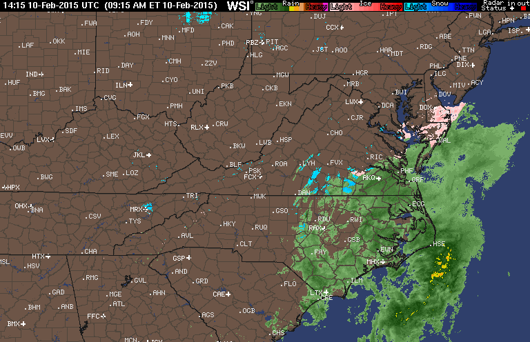
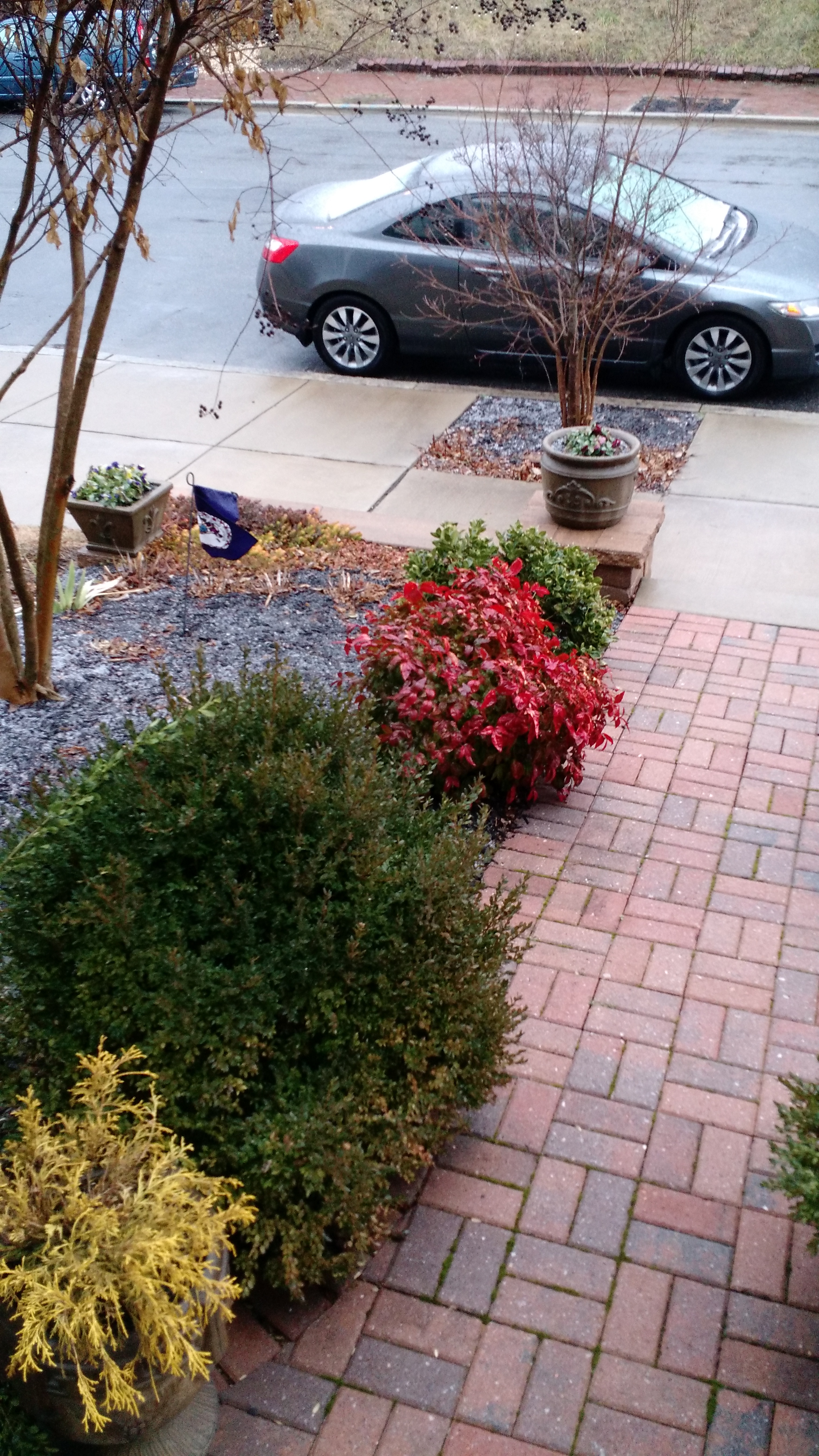
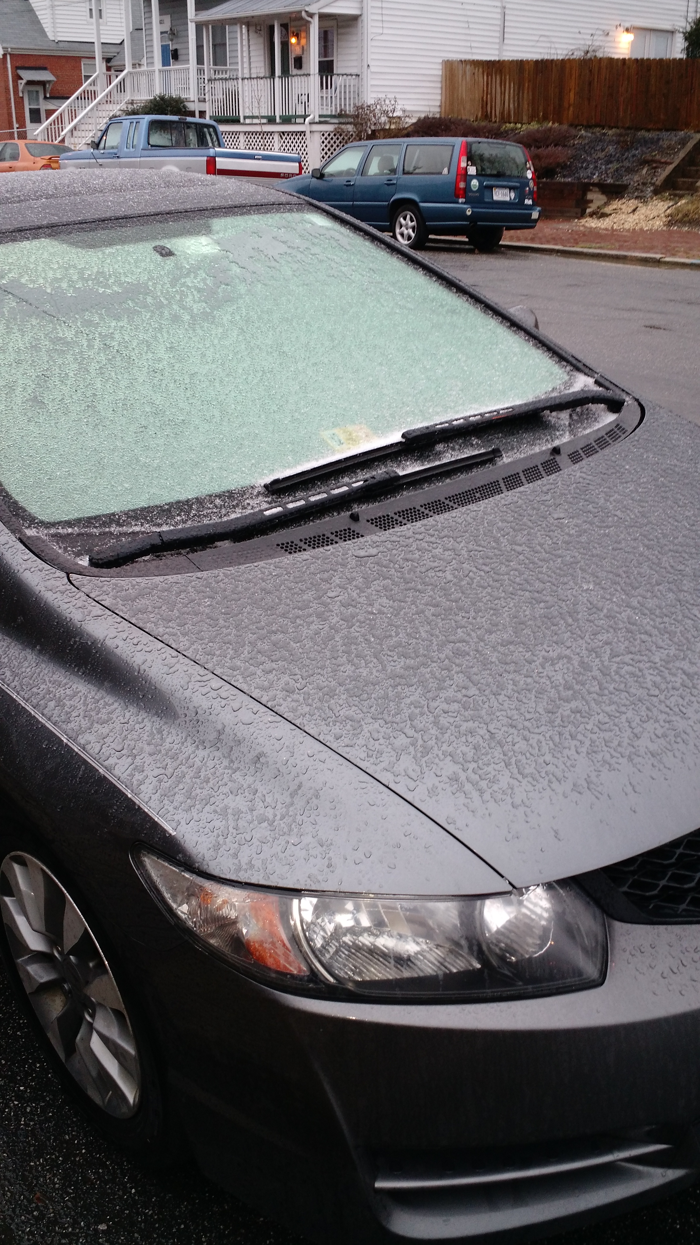
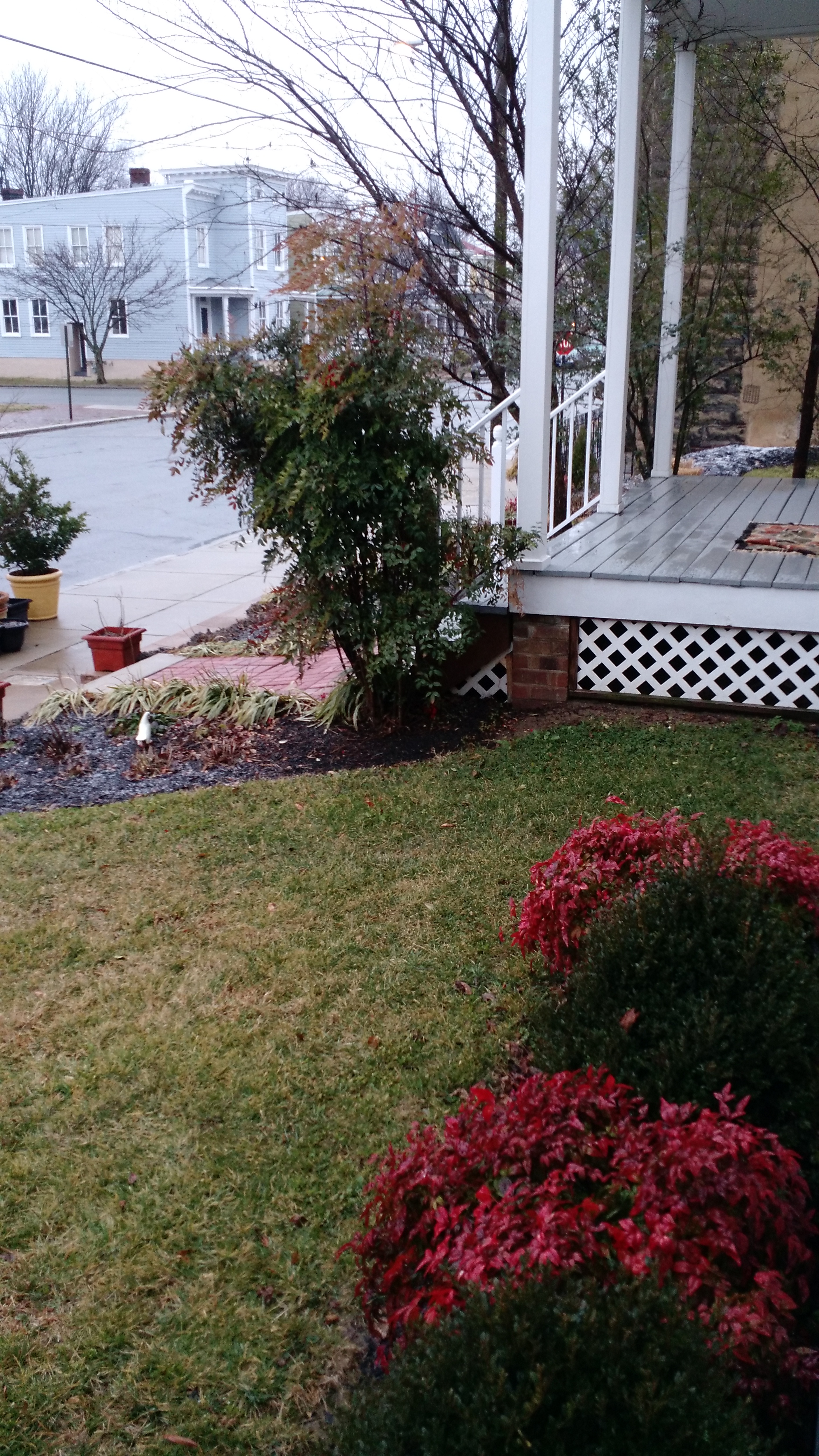
Church Hill Storm Observation Summary:
* Place – Time: Church Hill, (2/10/2015)
* Temperature: 33-34, During Event
* Winter Weather Watch/Warning/Advisory: None.
* Closings: None.
* Predicted Totals: No accumulations were predicted for the event.
* Road Conditions: No impacts to local roads.
* Precipitation Description: Sleet and sleet/rain mix, which began during the early morning hours on Tuesday (3 AM) and ended by mid-morning Tuesday (9 AM).
* Total Precipitation: Approximately 0.1″ of sleet. A trace of snow/sleet or ice was reported at the Richmond airport. More accumulation was present in Chesterfield along my commute route into work.
* Comments: This was a low impact system with accumulations mainly on elevated (car tops), grassy and mulch surfaces.
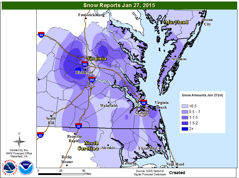
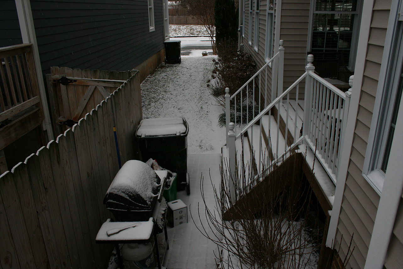
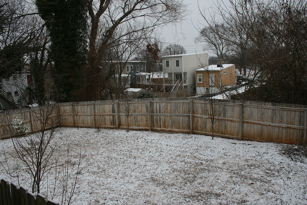
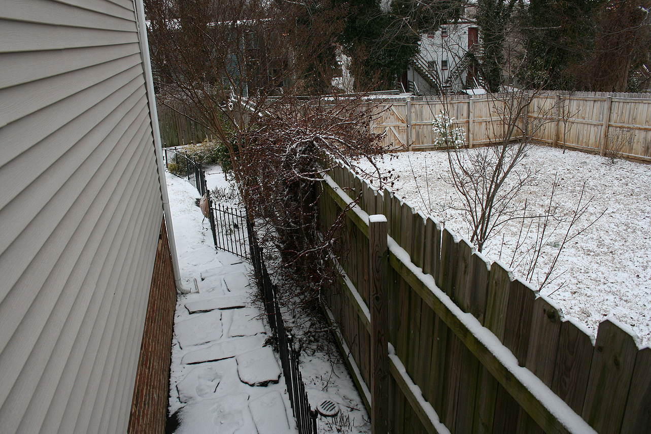
Church Hill Storm Observation Summary:
* Place – Time: Church Hill, (1/27/2015)
* Temperature: 29-34, During Event
* Winter Weather Watch/Warning/Advisory: Advisory, which was issued the day before the event for a dusting to 2”
* Closings: All local school districts closed, Chesterfield County Government had no delayed opening.
* Predicted Totals: Between a dusting and 2” the day before the event. On the evening of the 26th, precipitation totals were cut back to ½” at most for metro Richmond.
* Road Conditions: All roads had varying amounts of snow accumulation on them. Local streets were covered during the first few hours in the morning.
* Precipitation Description: Snow, which began at 10 AM on Monday and ended around 5 PM on Tuesday.
* Total Precipitation: Approximately 0.6″ of snow. 0.2″ of snow was reported at the Richmond airport. Locally heavier snow to the south and west of Richmond (1.8” at Chesterfield Government Center).
* Comments: A potent Miller B system, dubbed “Juno”, developed off the Delmarva coast on Monday evening and produced a period of snow showers over metro Richmond during Monday evening with little accumulation. As the low strengthened and moved to the northeast, a band of heavier snow showers redeveloped during the morning hours on Tuesday 1/27. The heaviest snow and accumulation occurred before 9 AM. Snow showers and flurries occurred during the rest of the day until sunset. Impacts from snow and ice to the Richmond area were moderate from this storm.
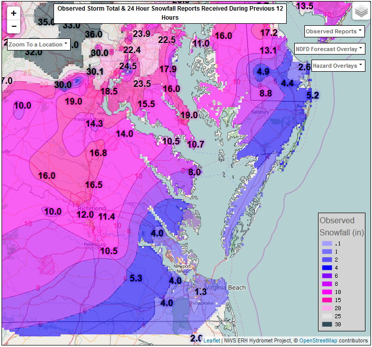
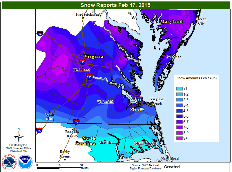
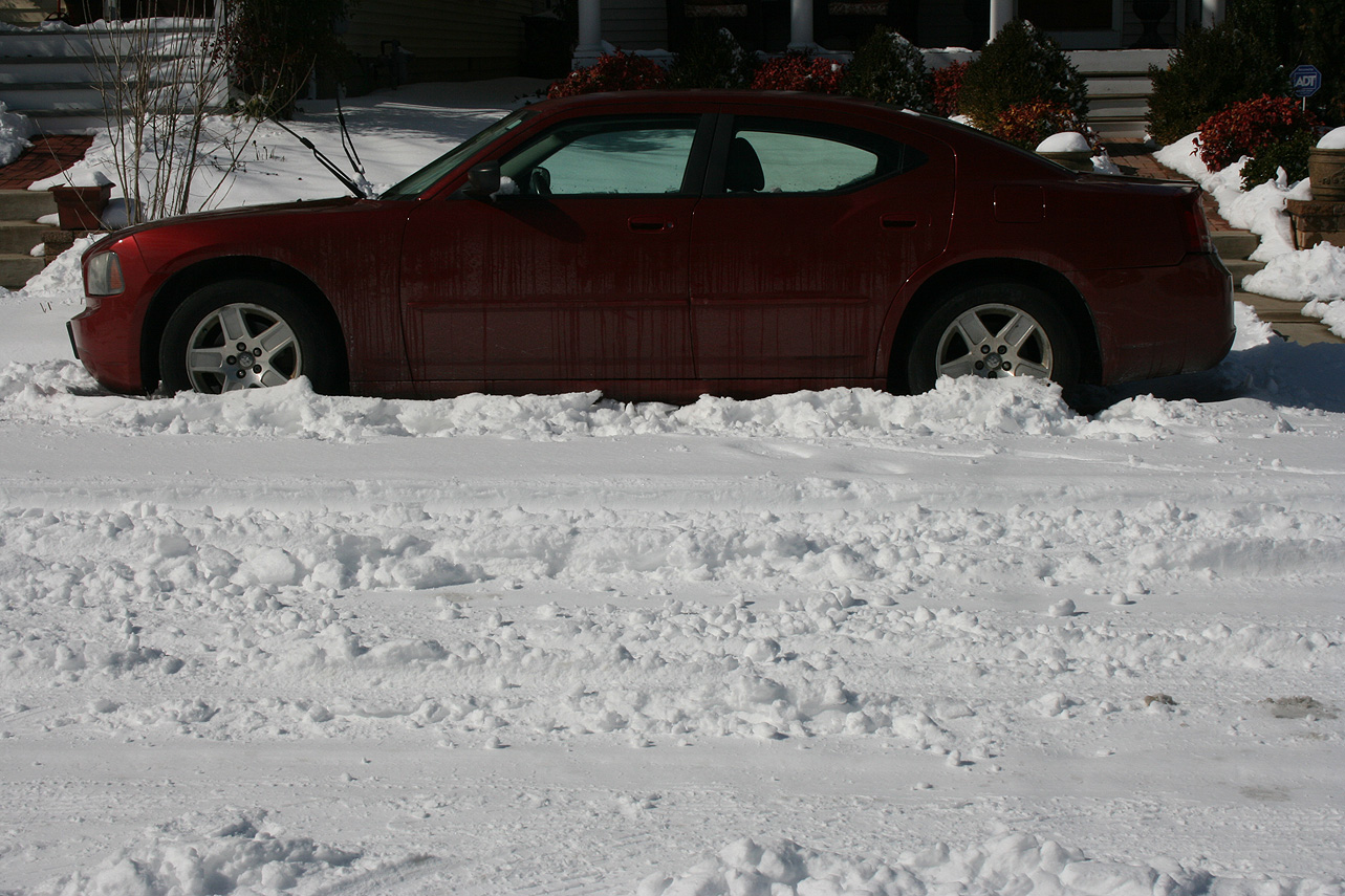
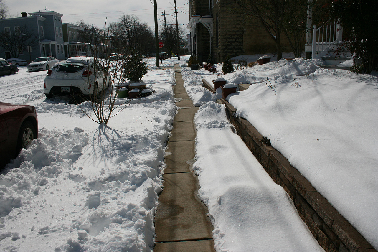
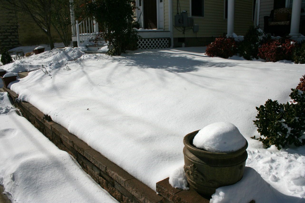
Snowfall Totals:
NWS Snow Totals Map
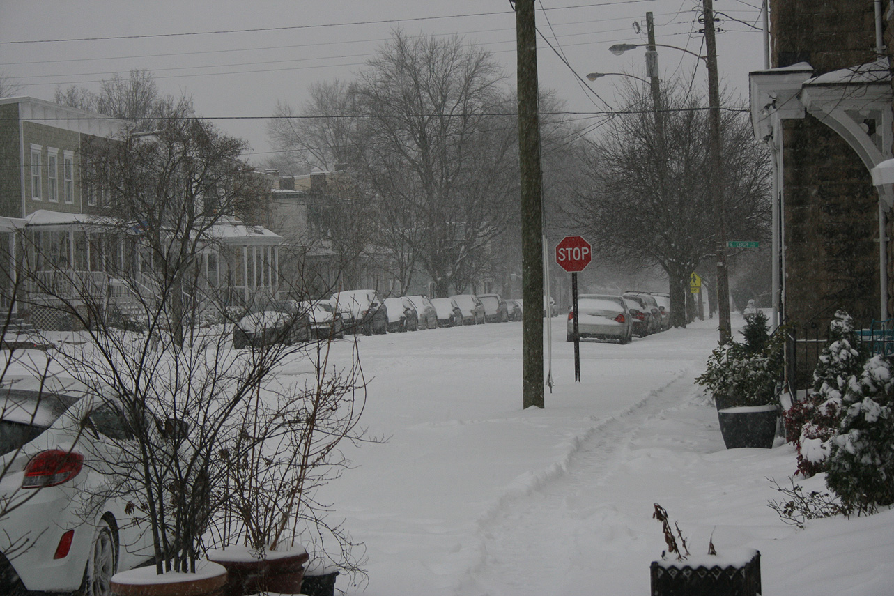
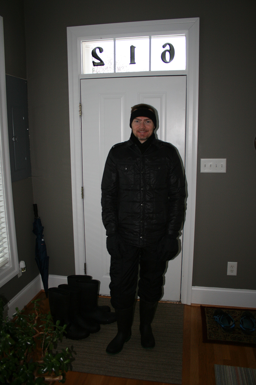
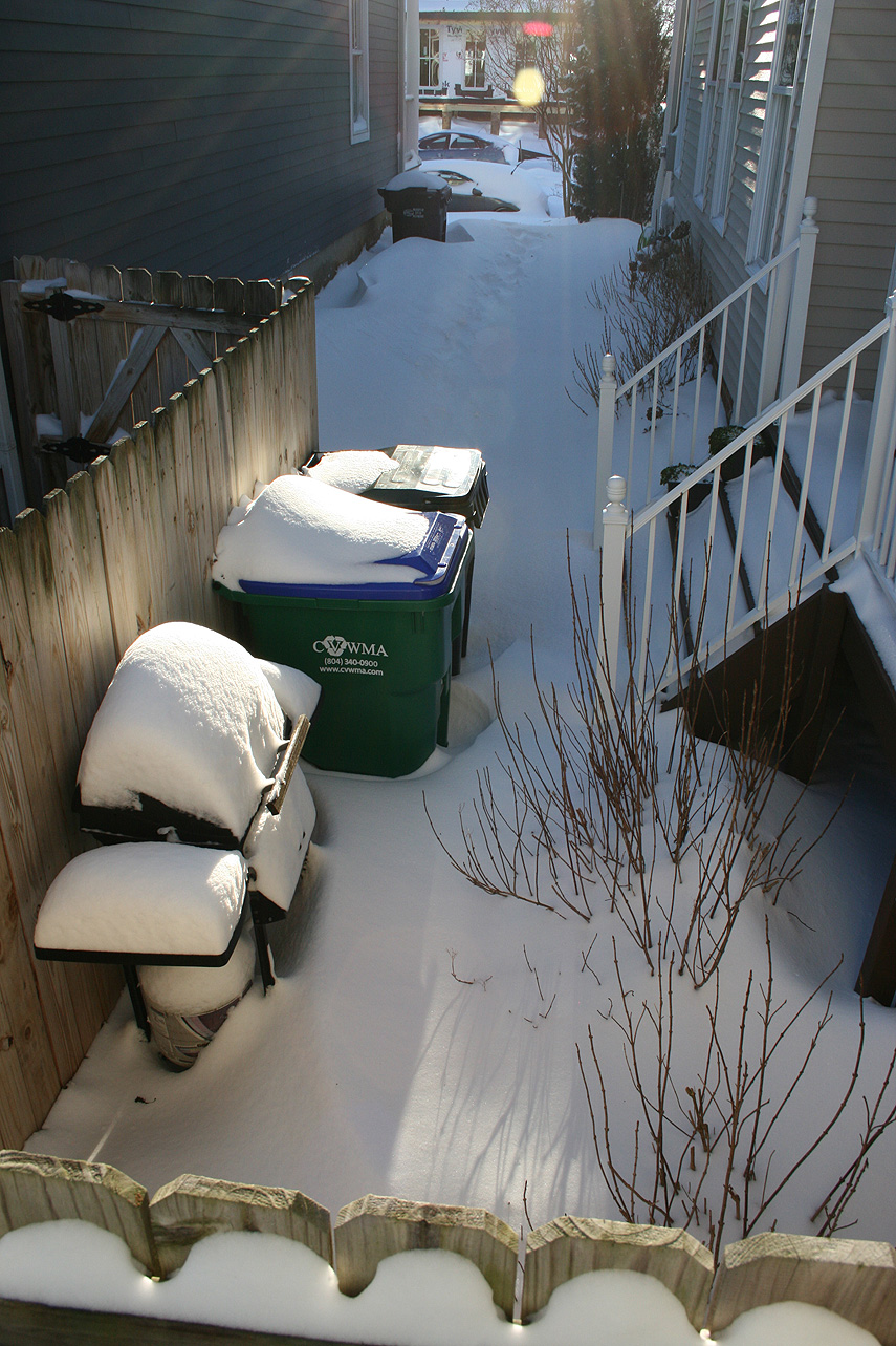
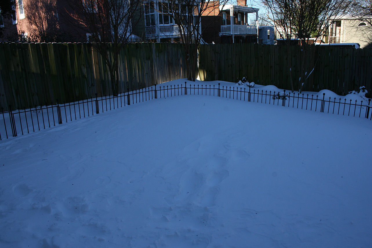
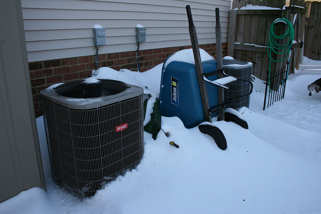
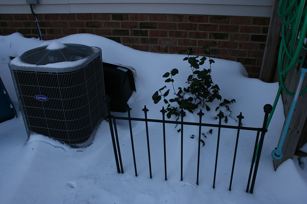
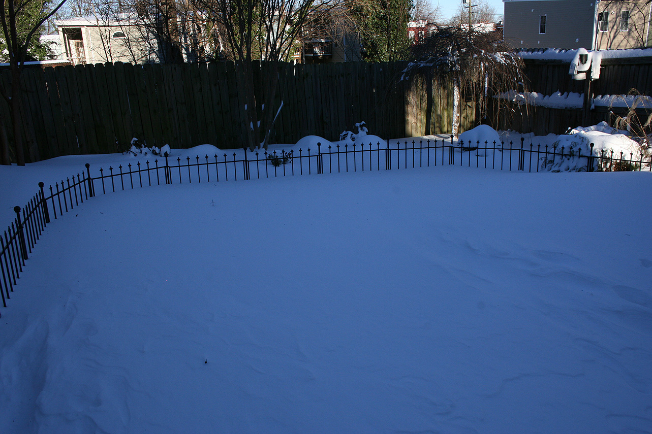
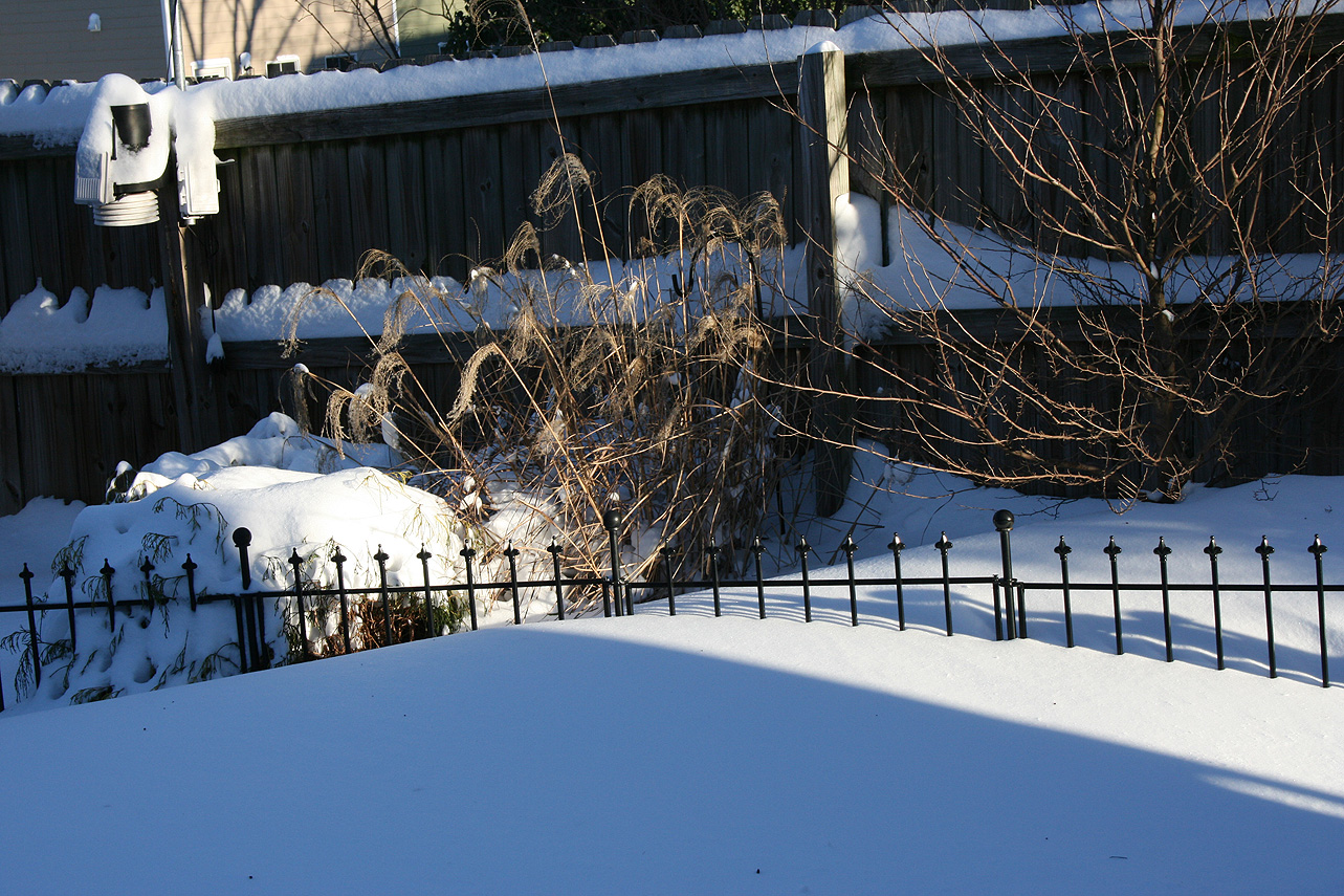
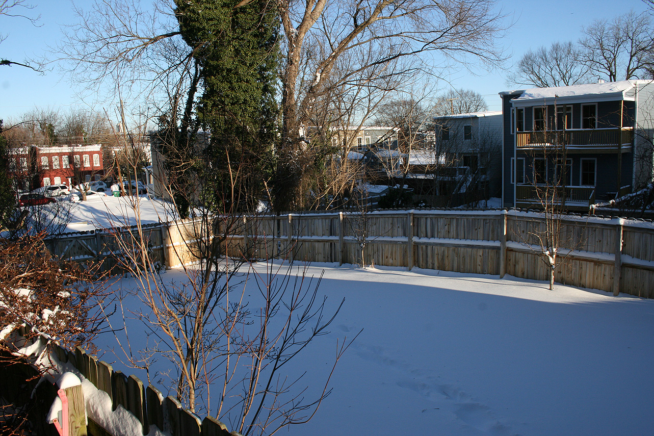
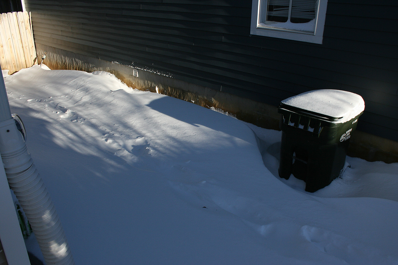
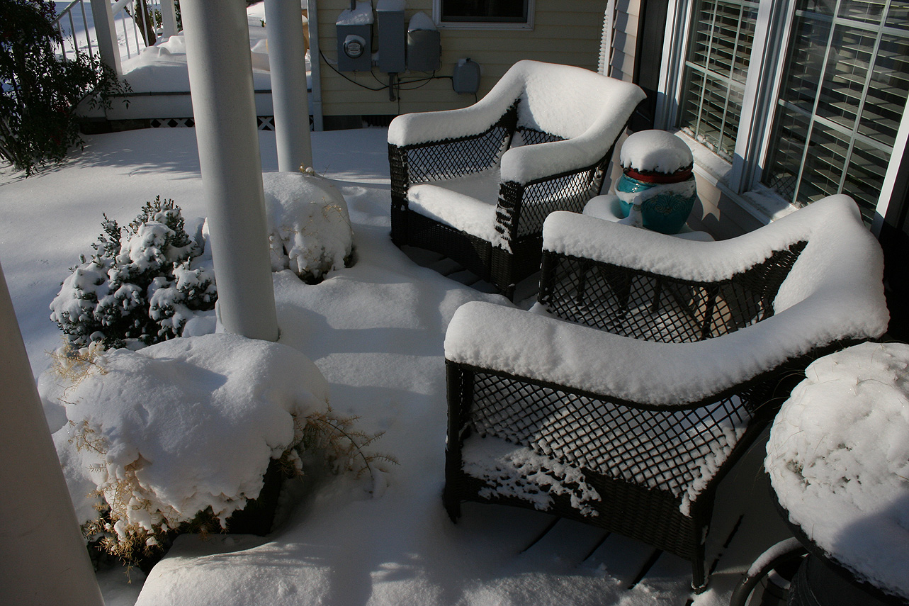
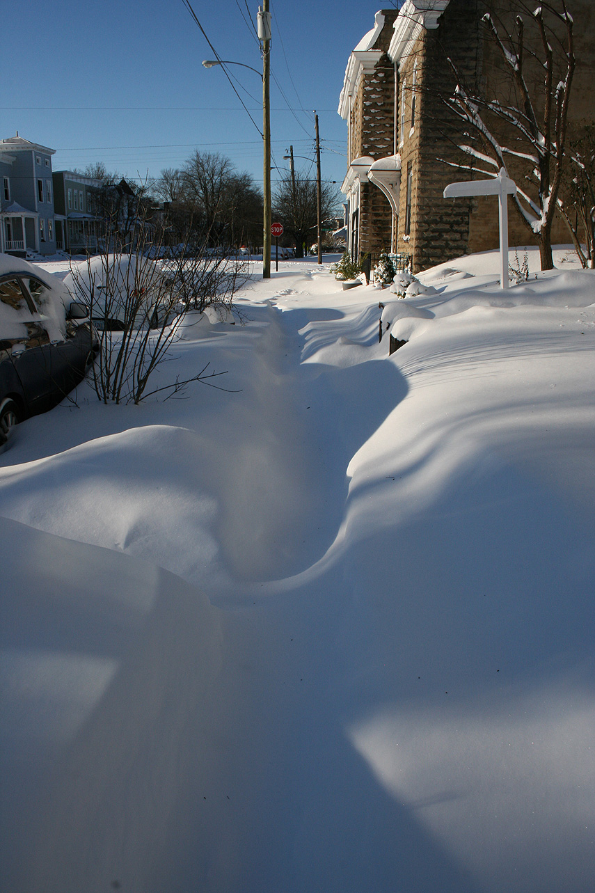
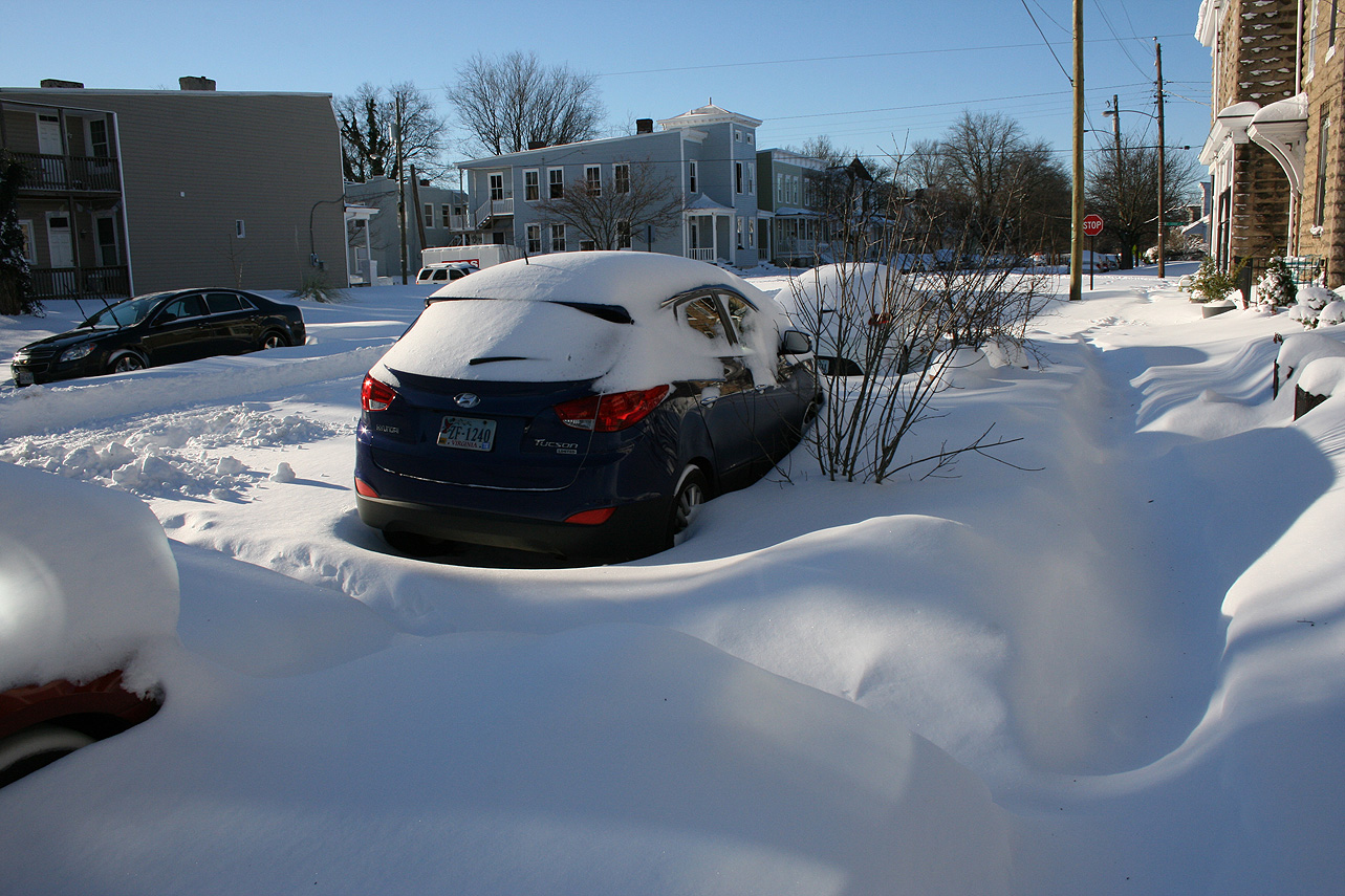
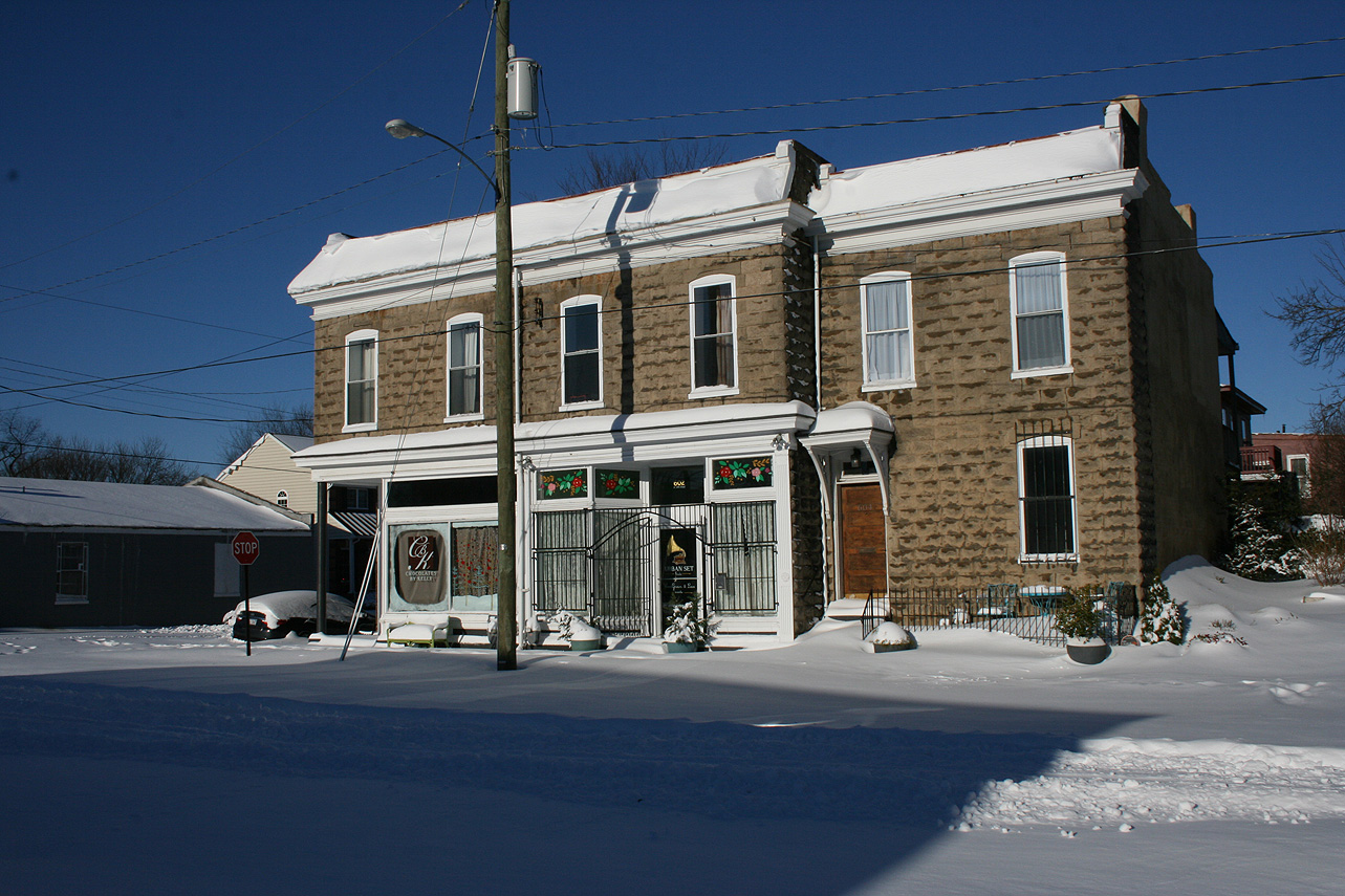
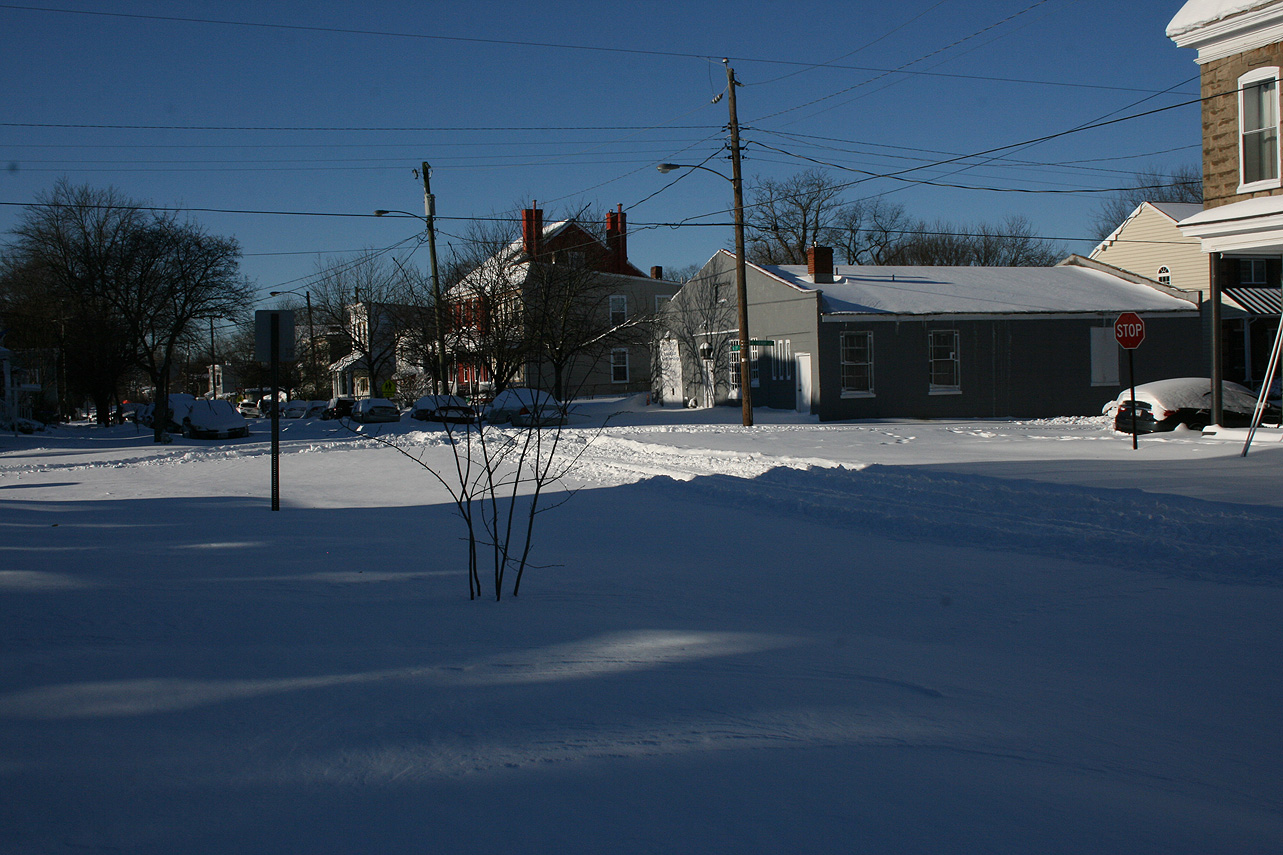
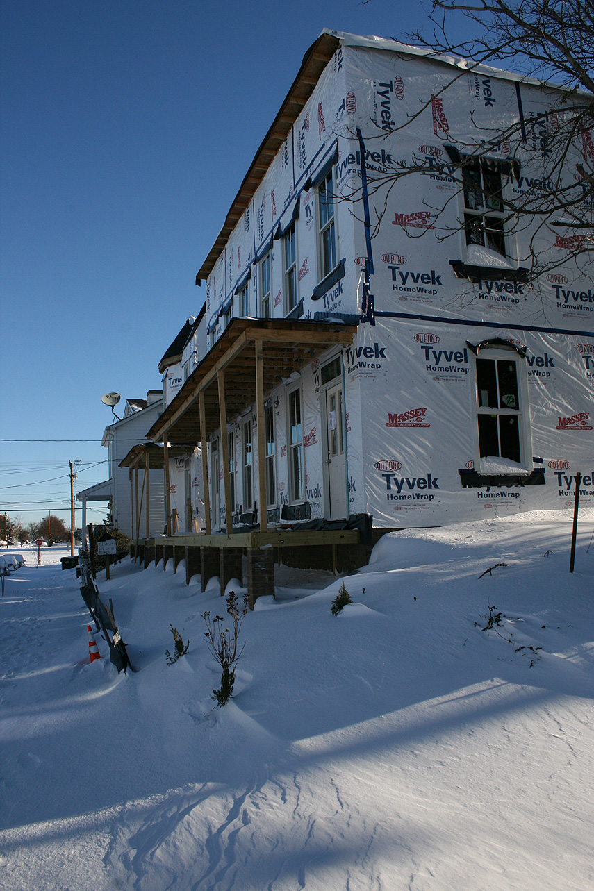
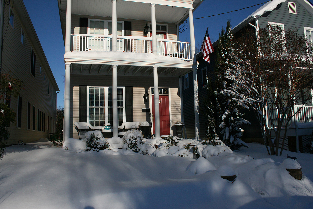
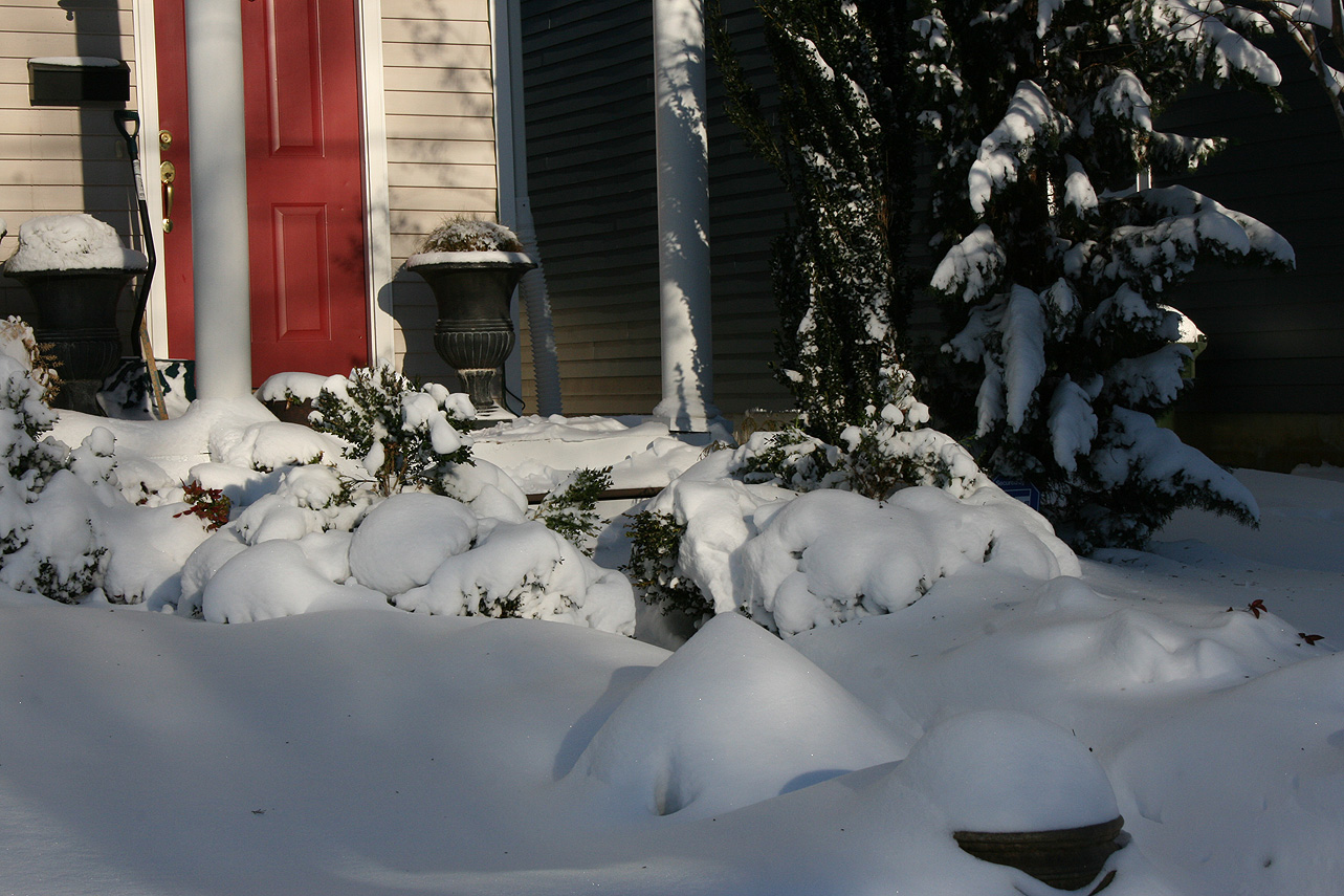
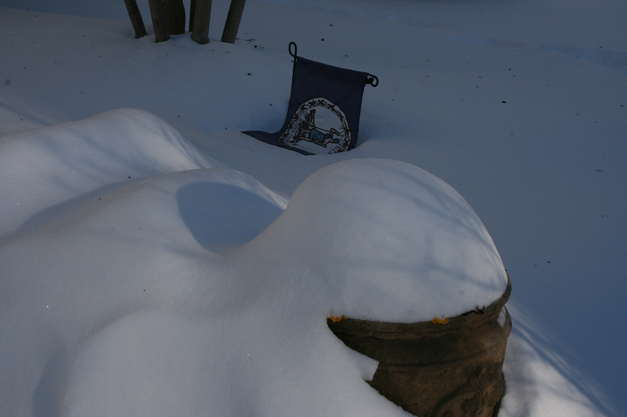
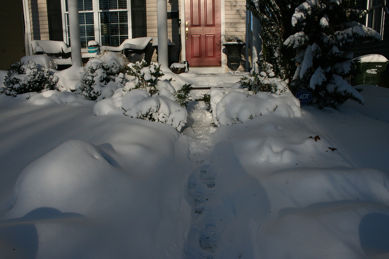
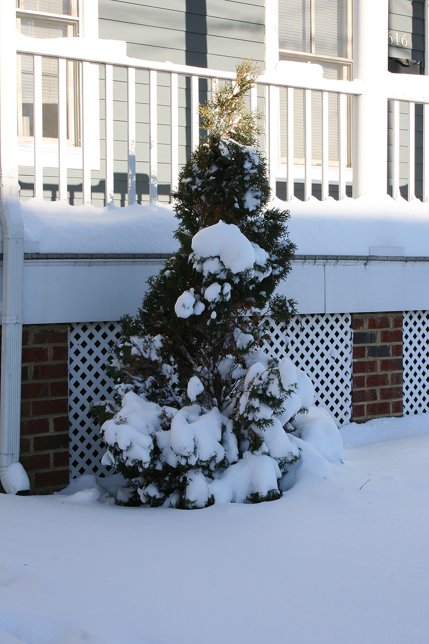
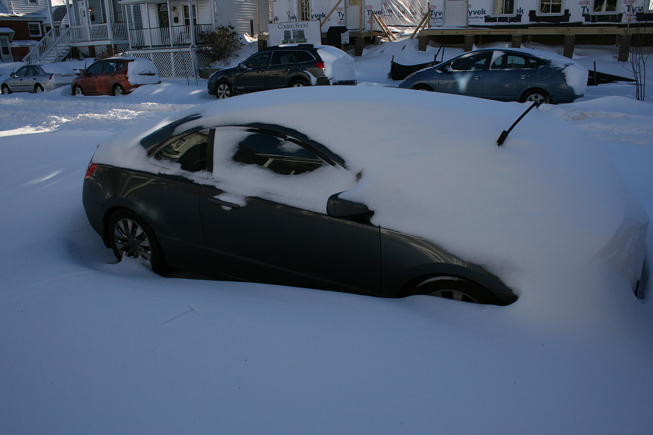
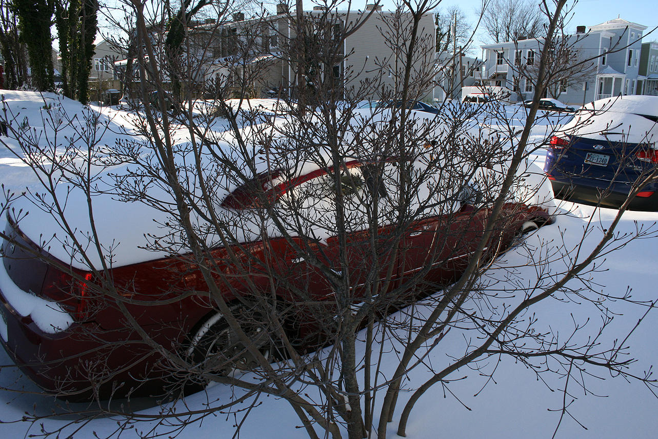
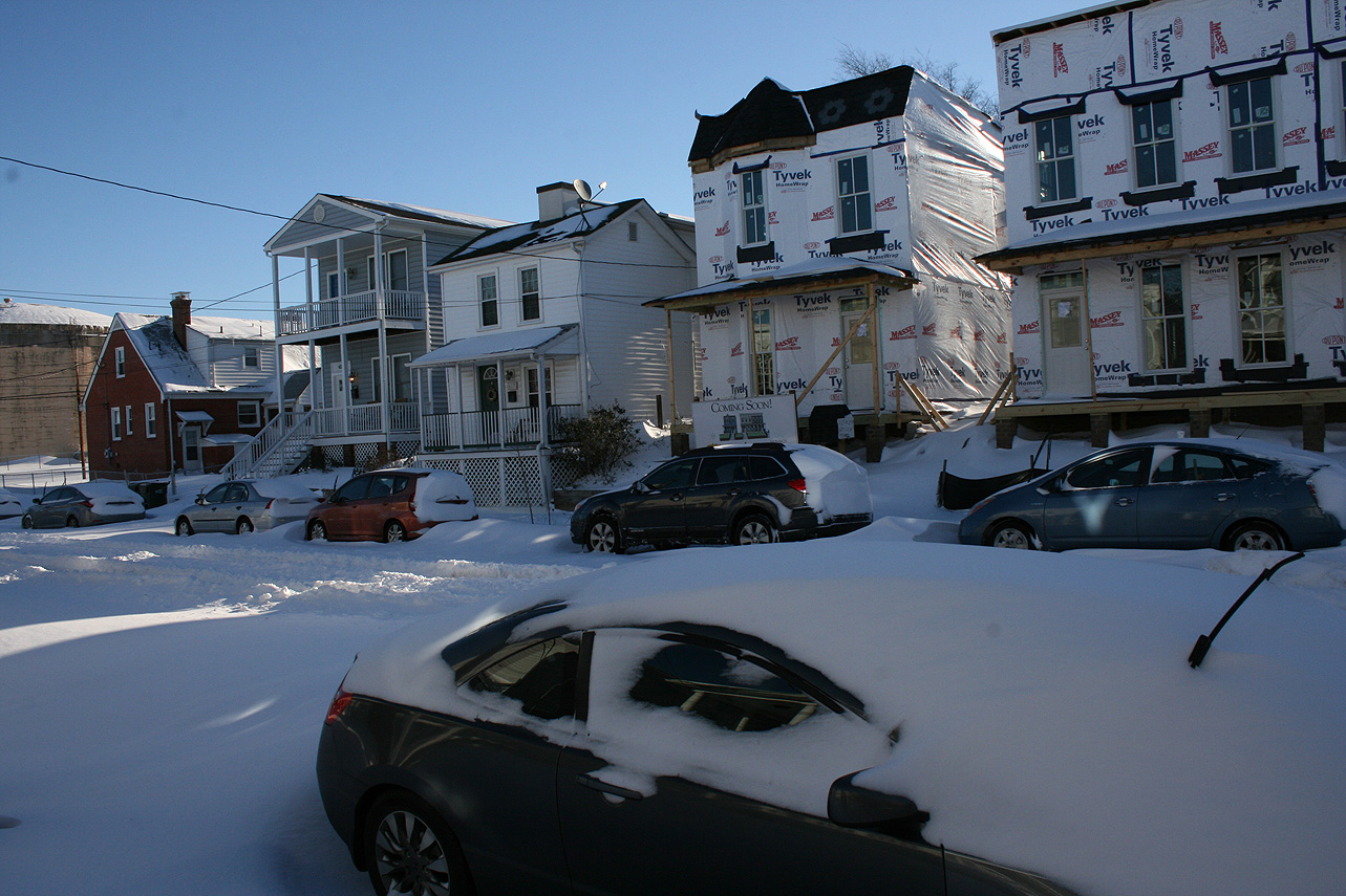
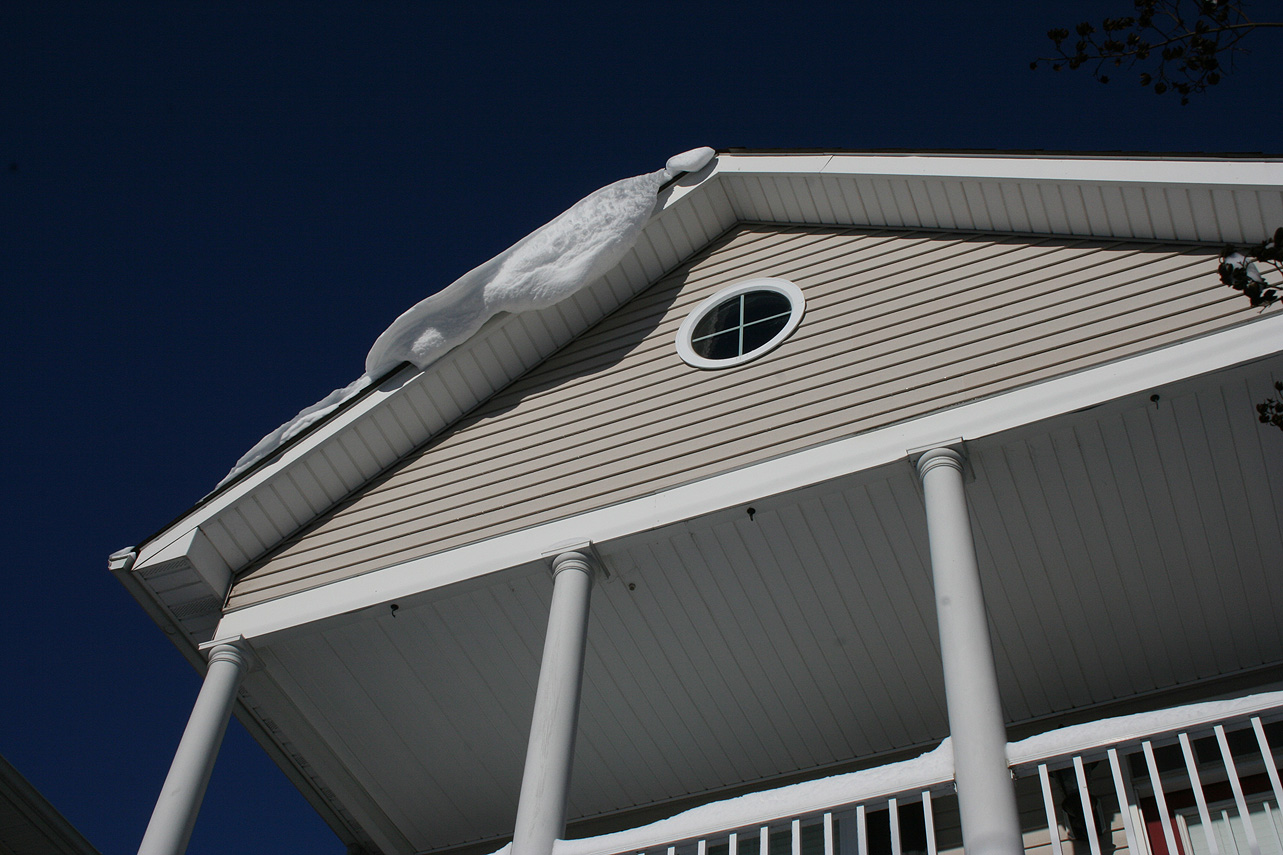
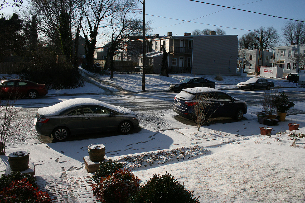
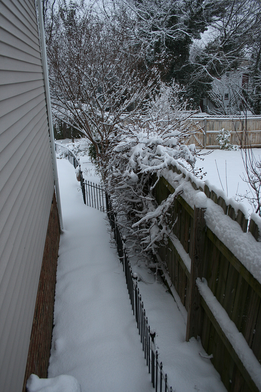
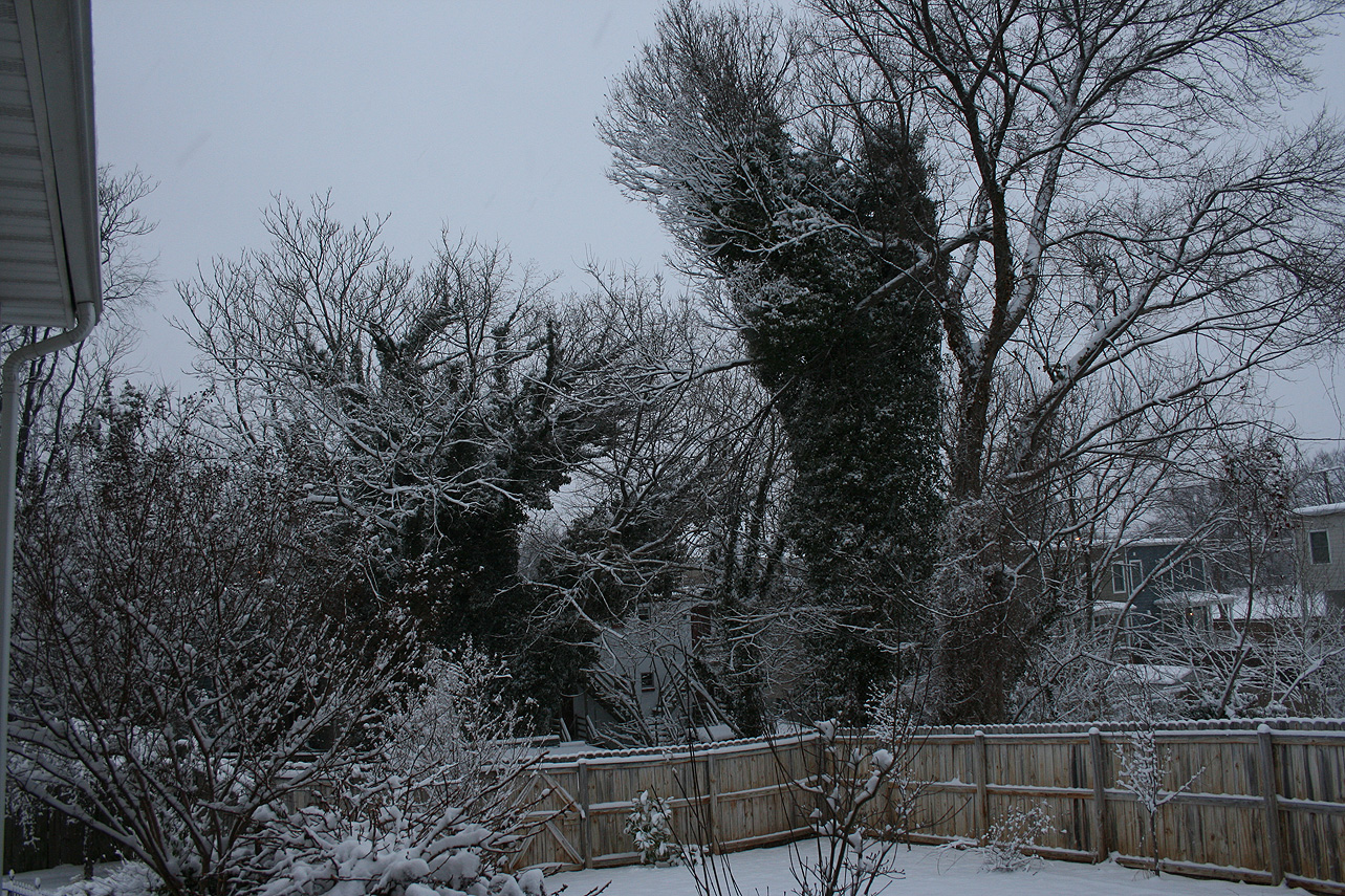
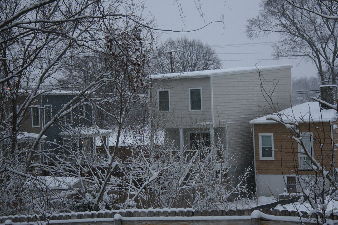
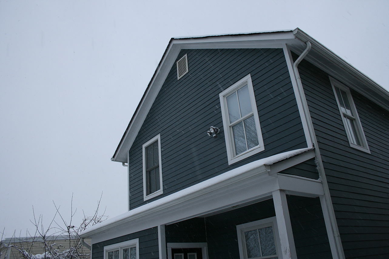
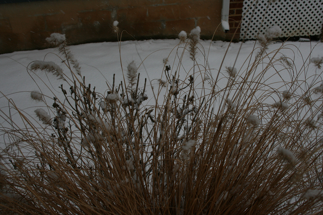
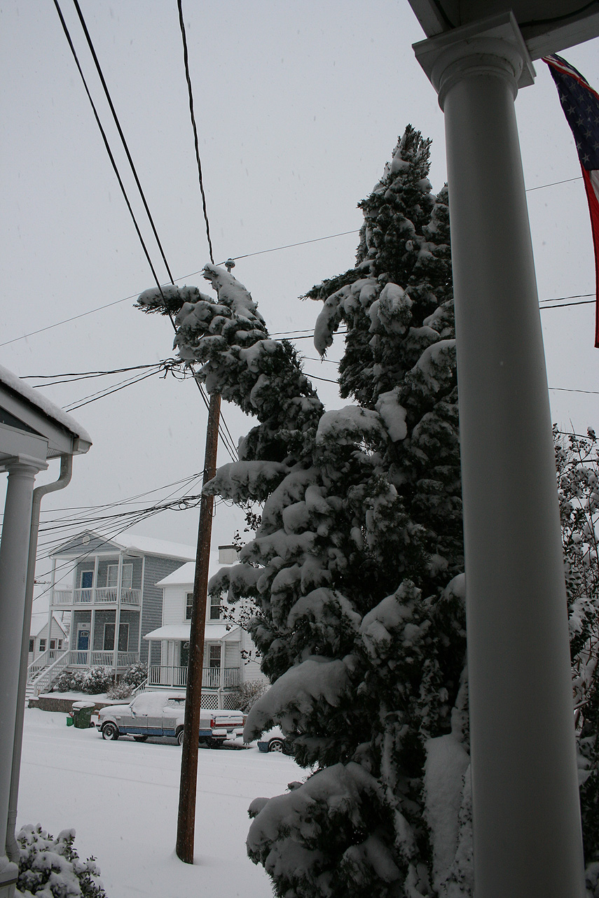
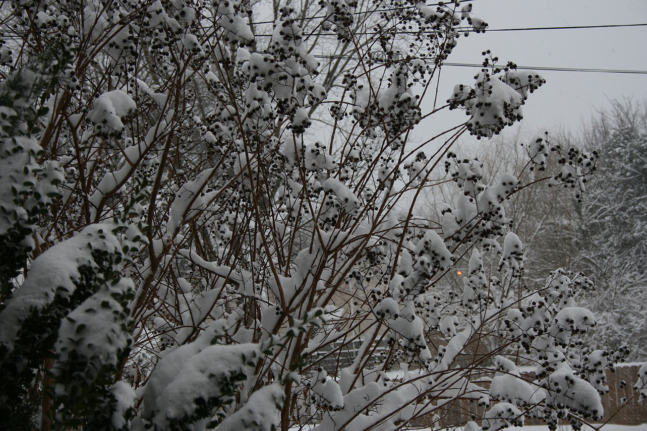
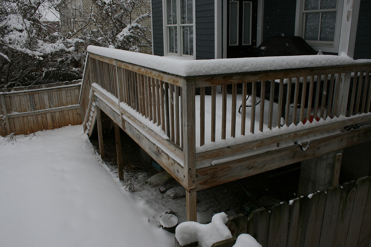
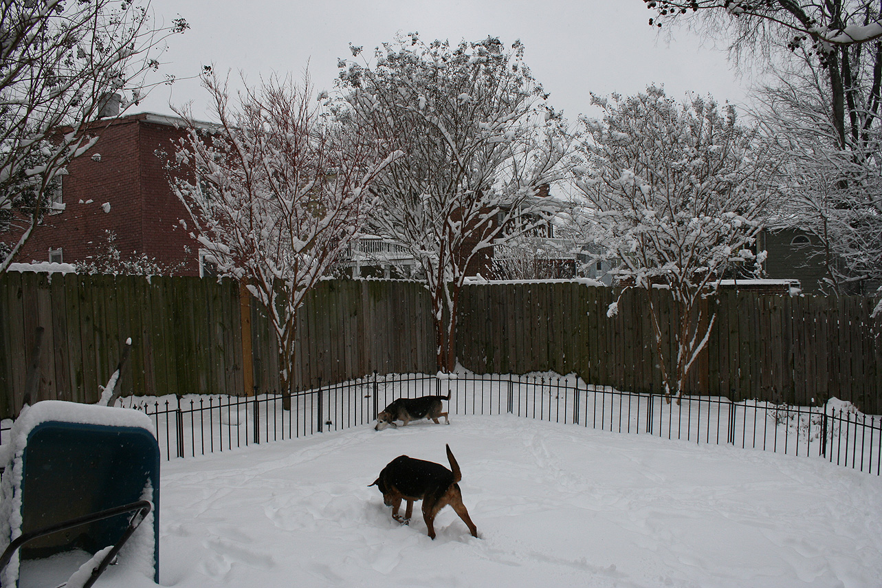
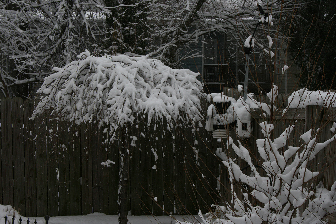
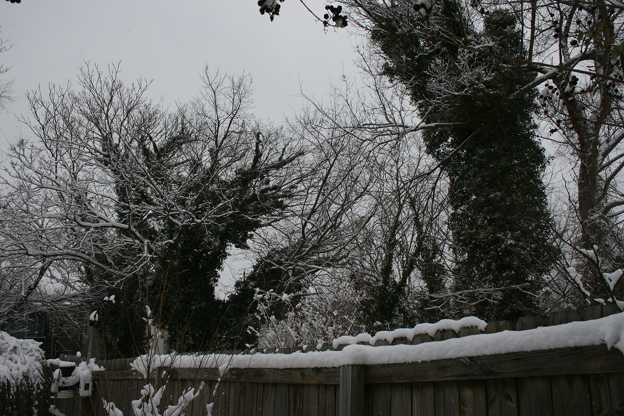
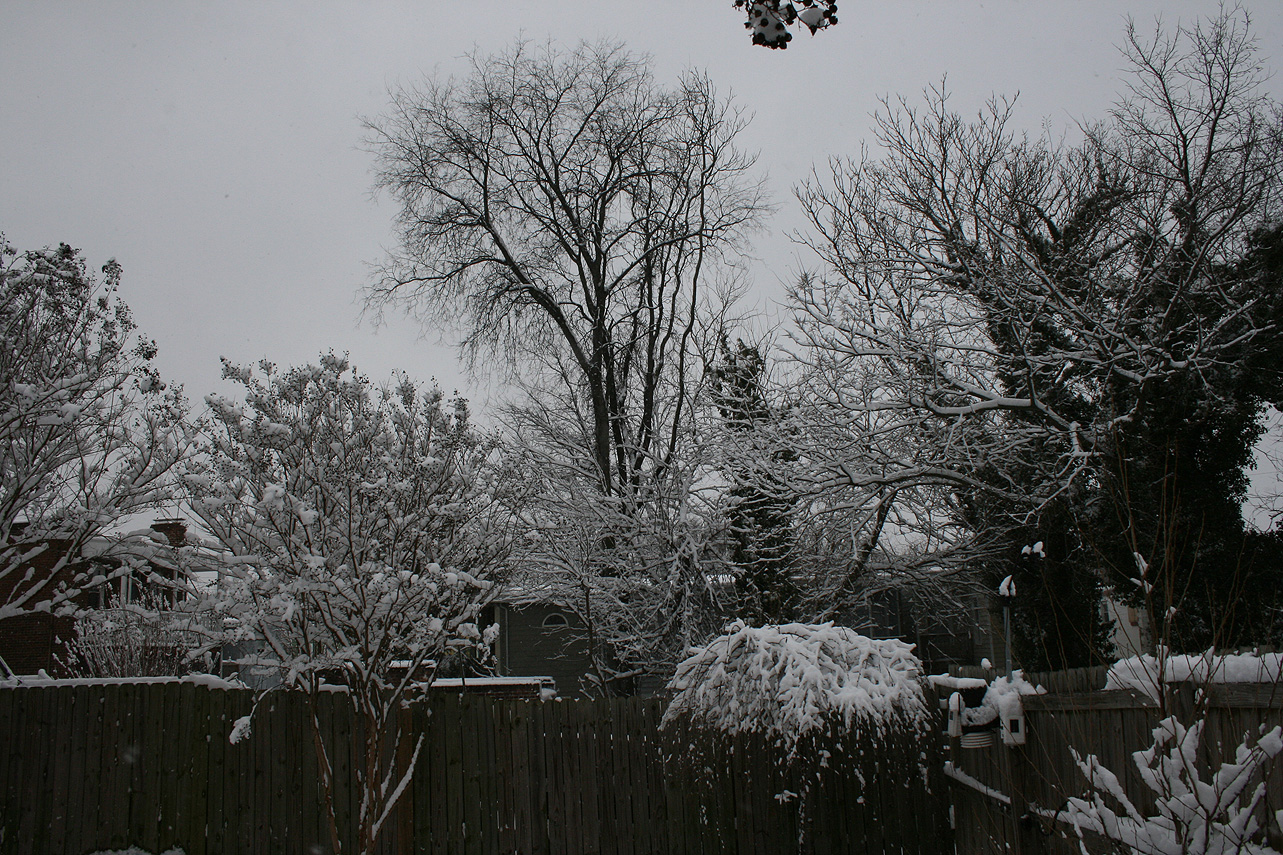
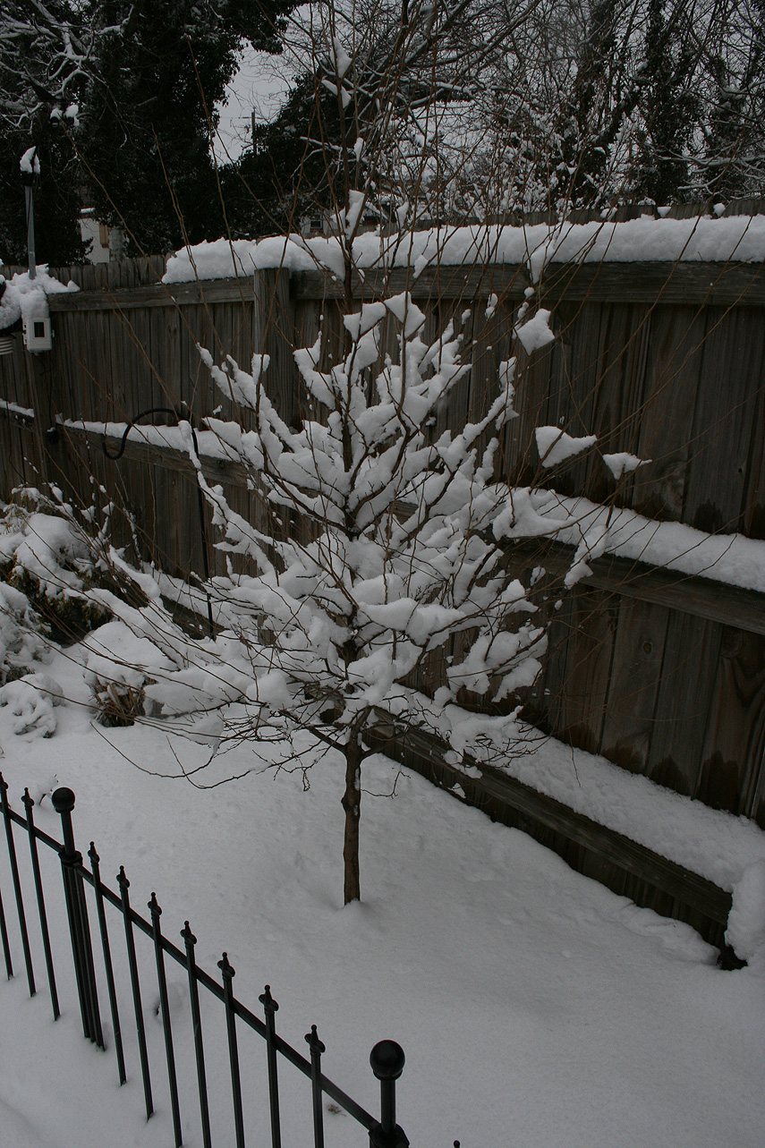
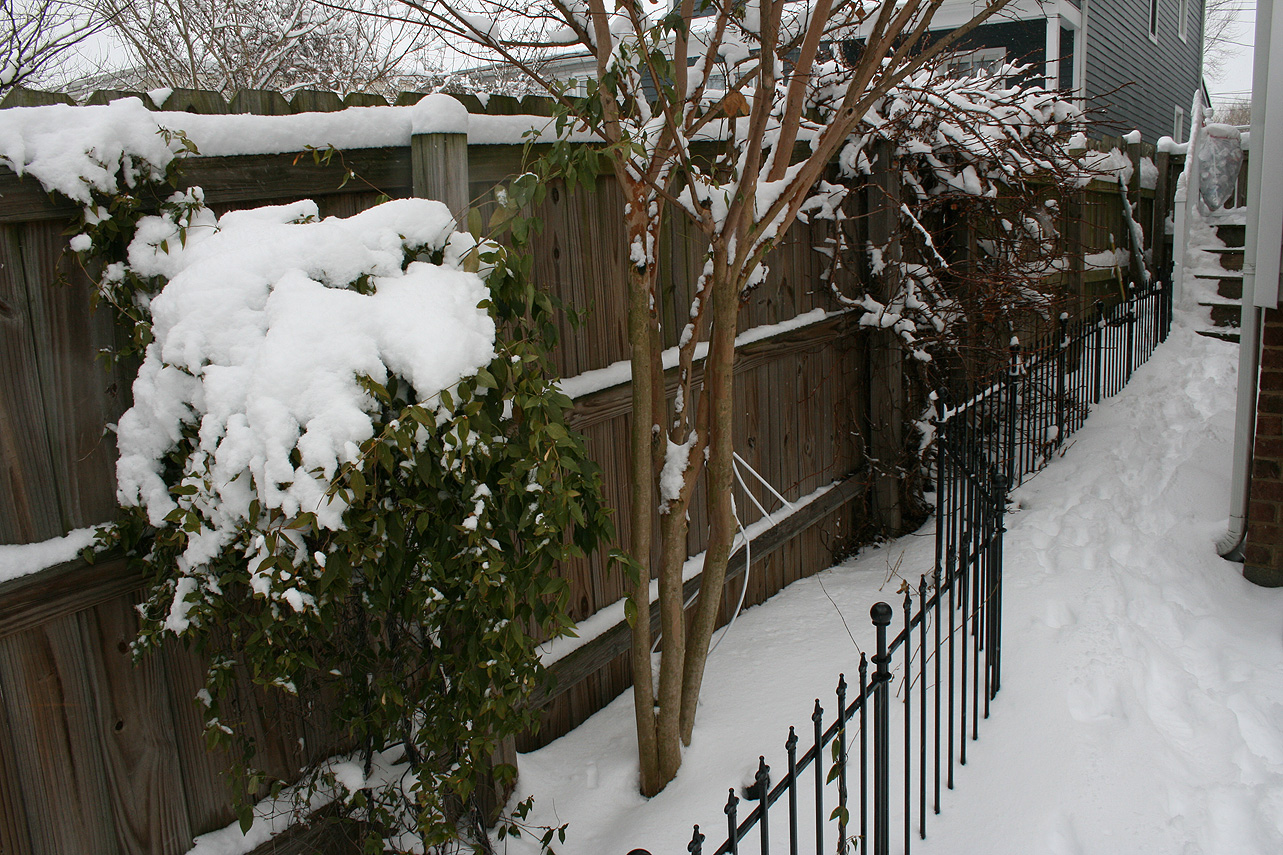
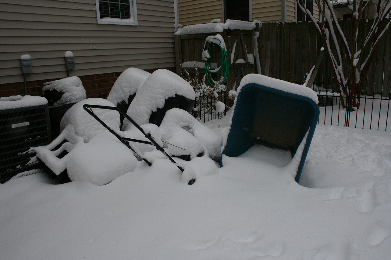
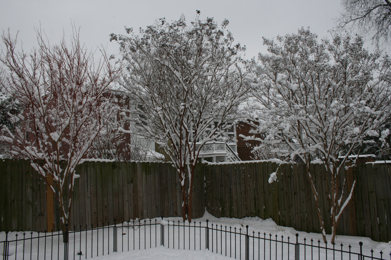
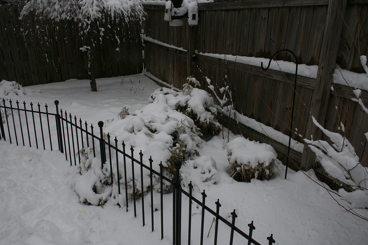
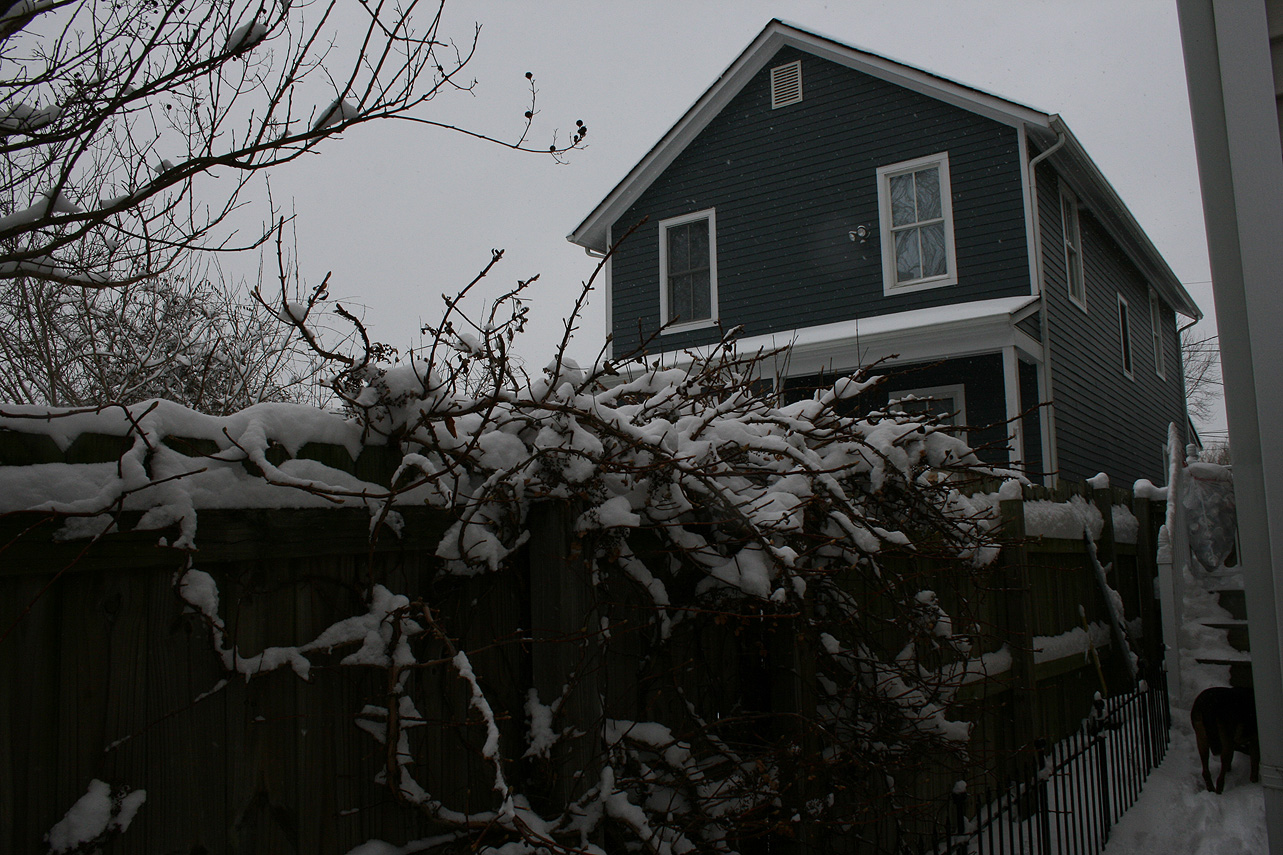
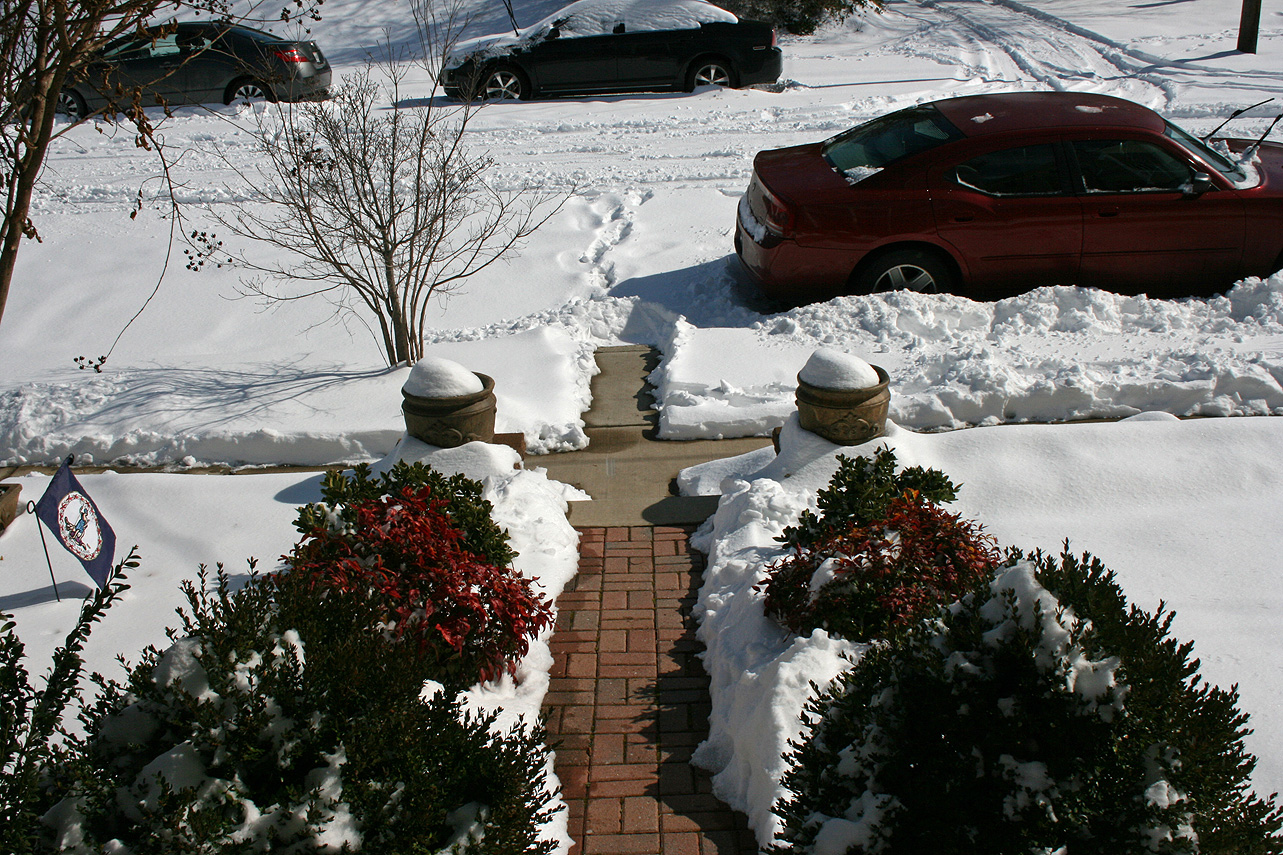
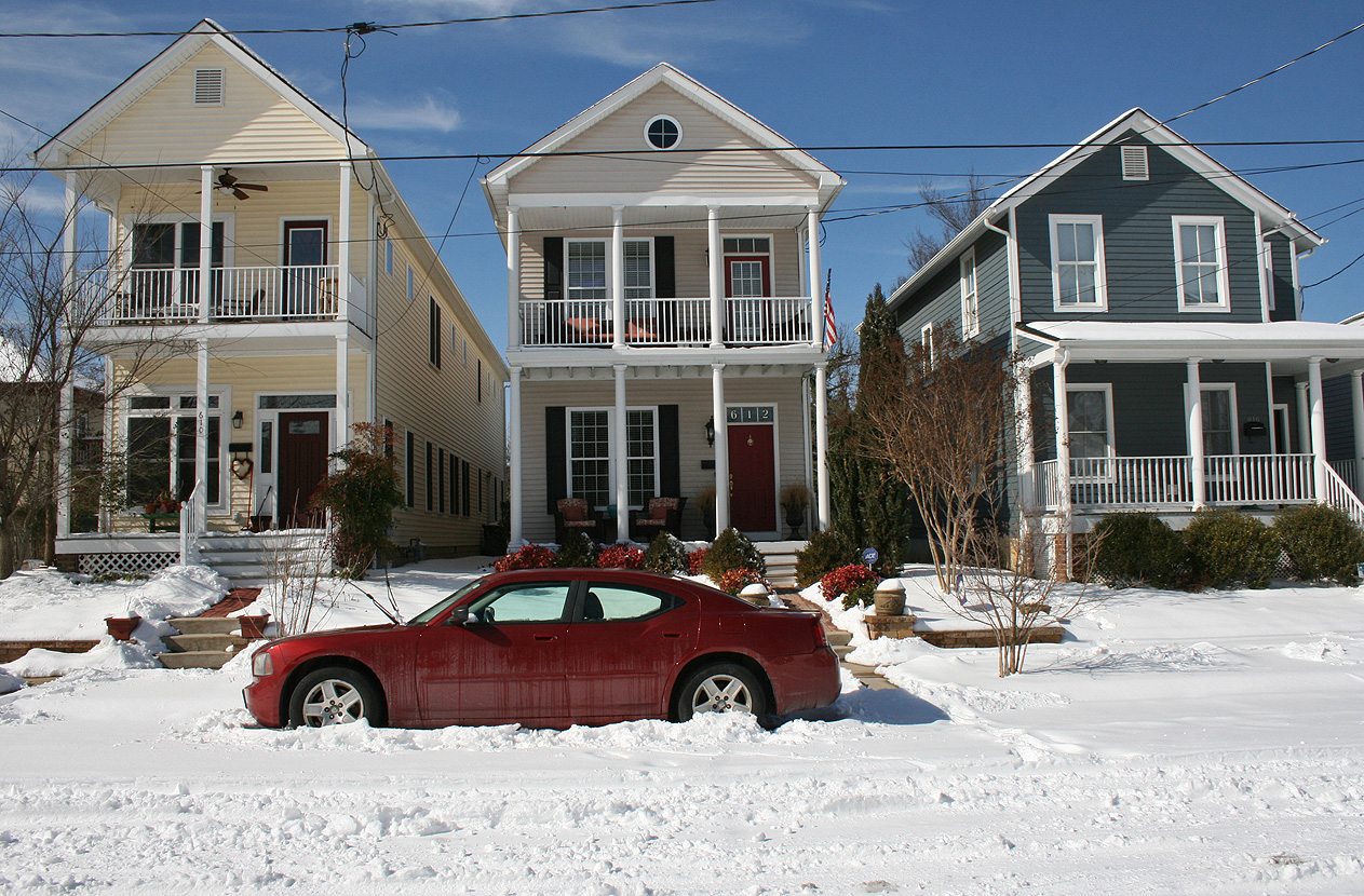
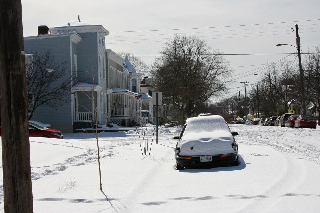
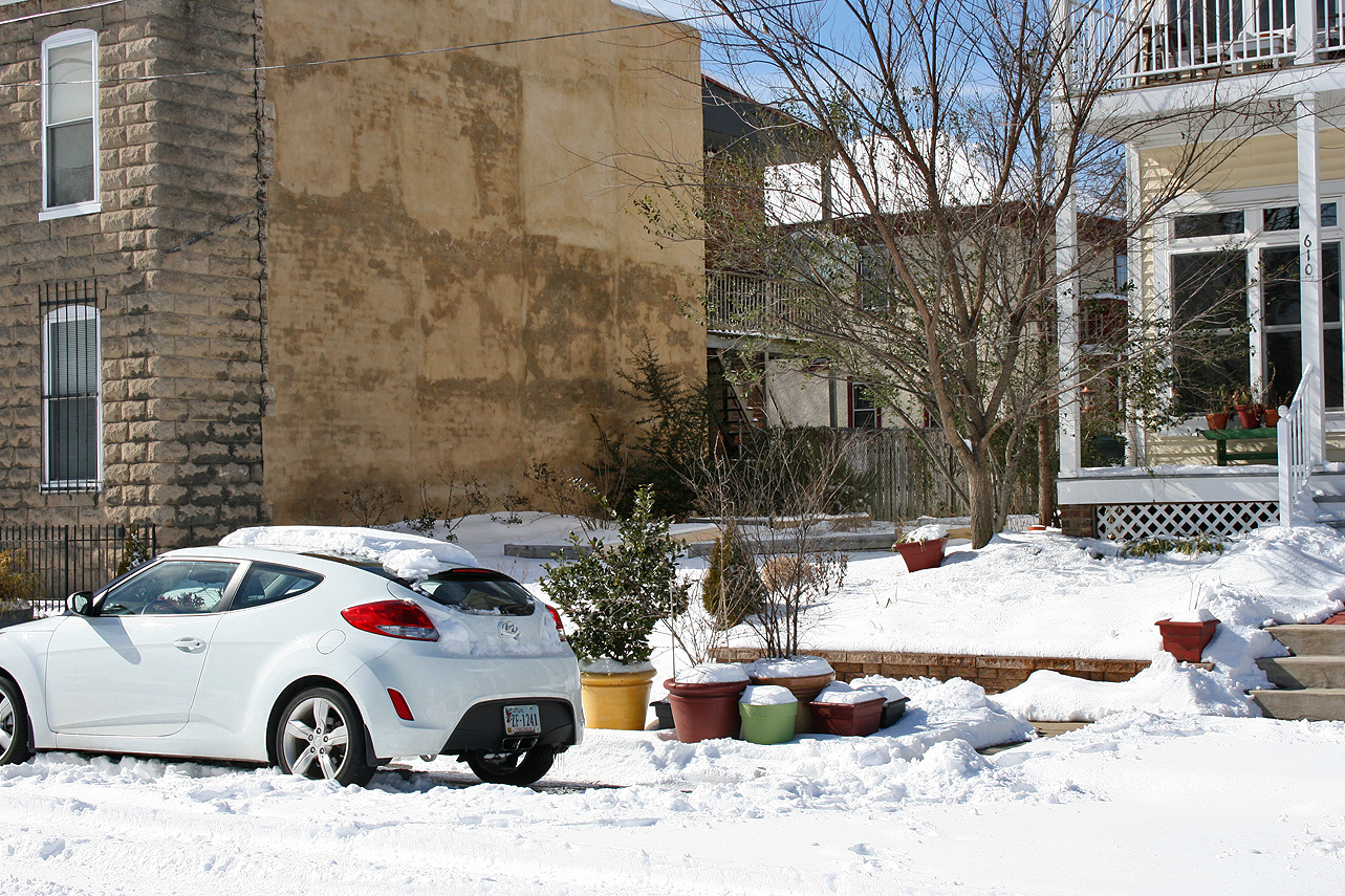
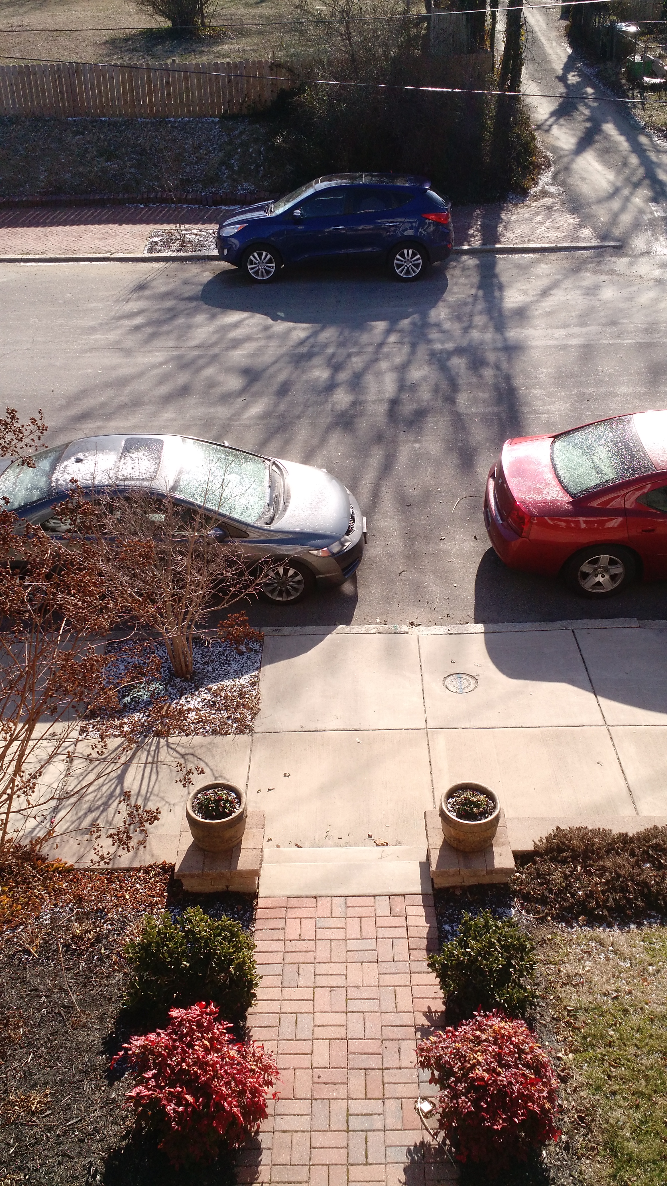
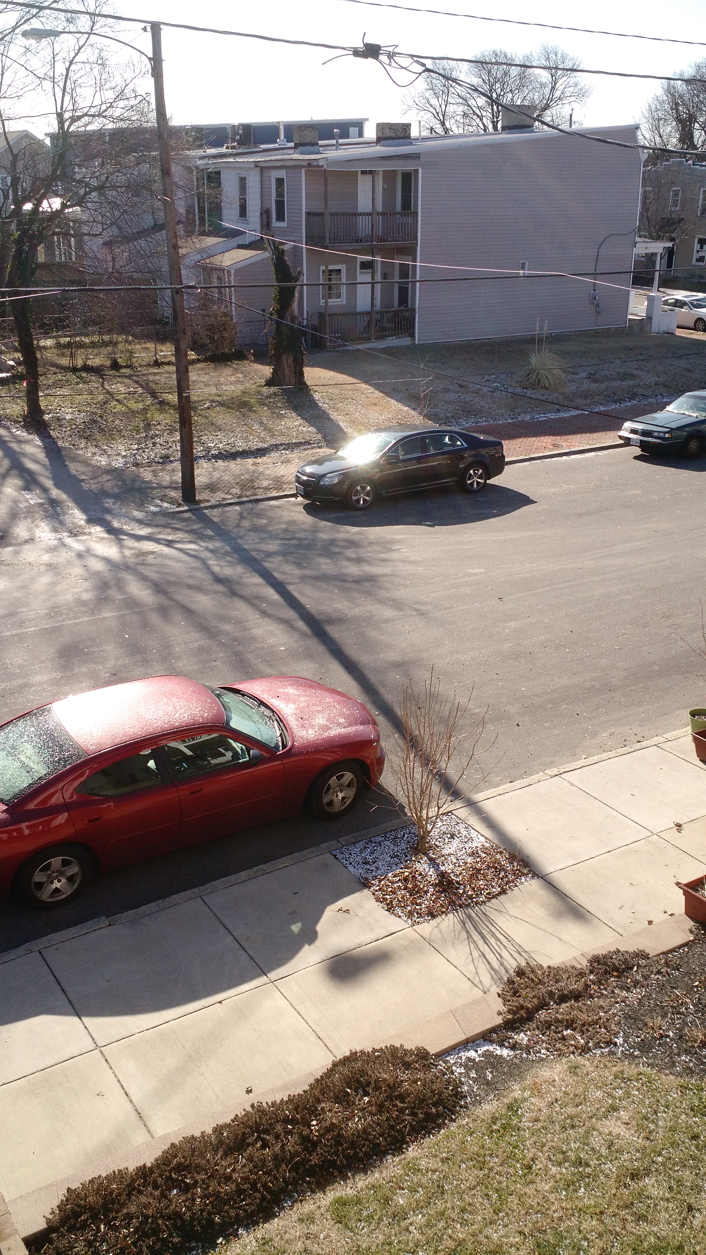
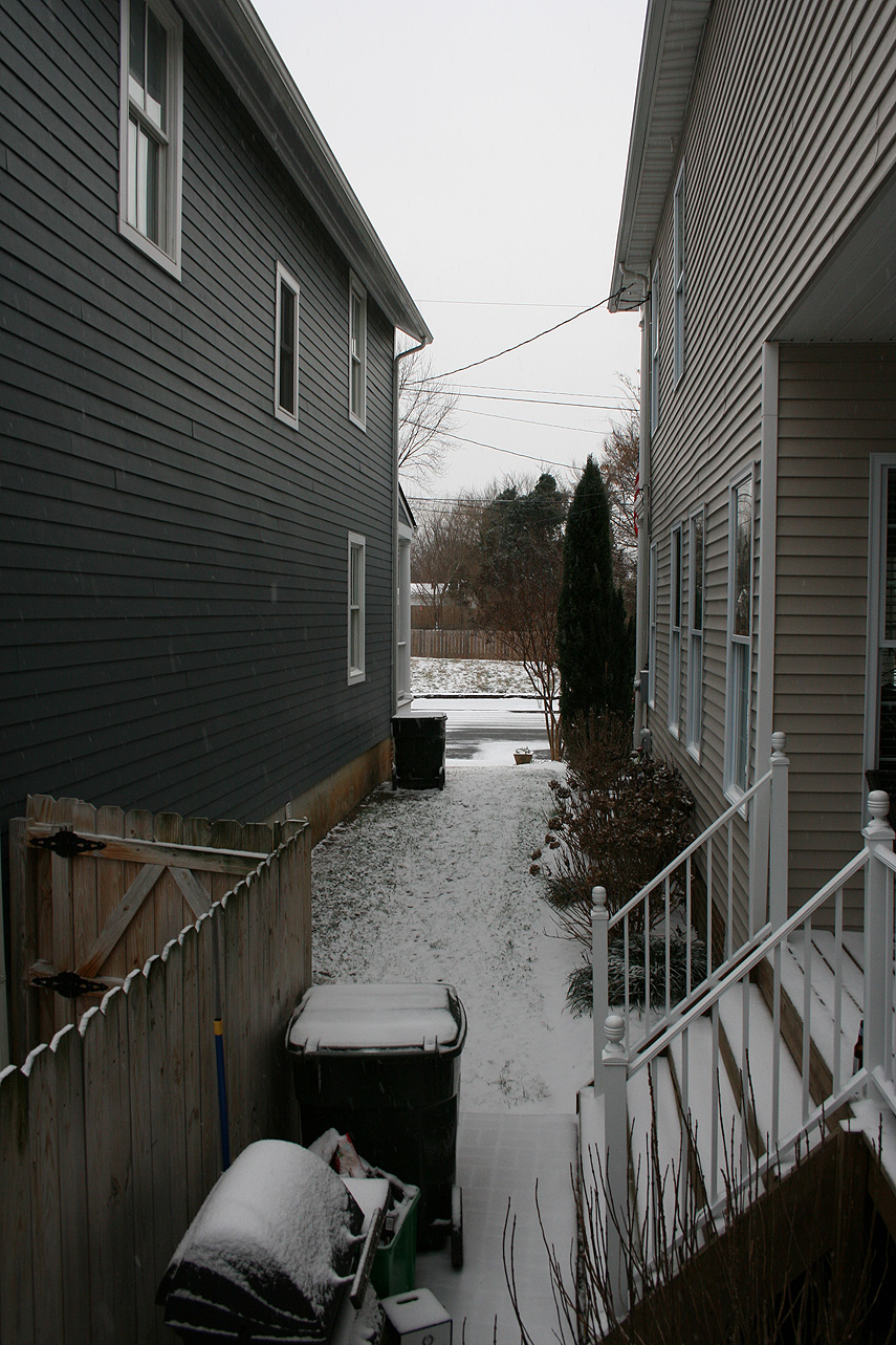
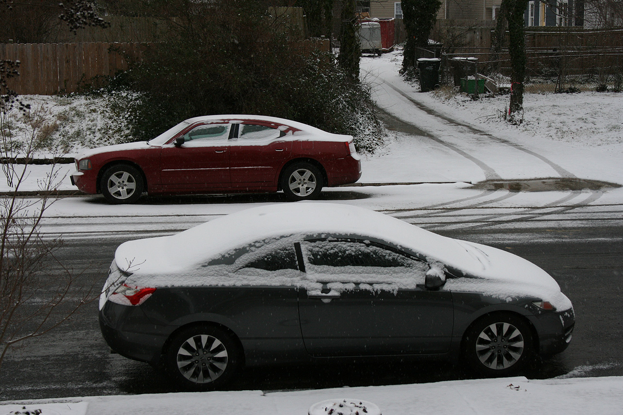
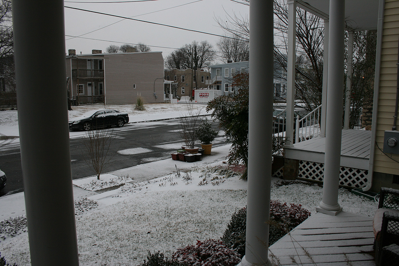
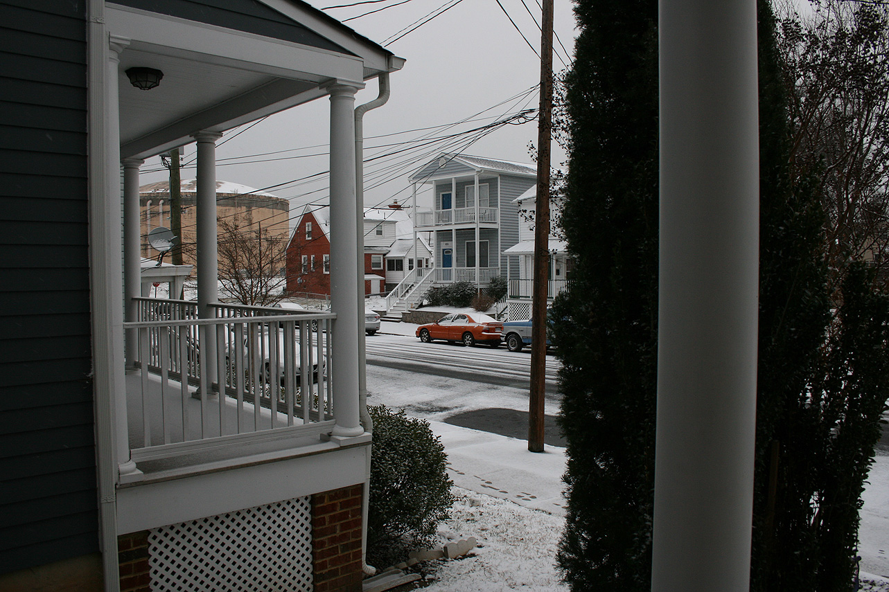
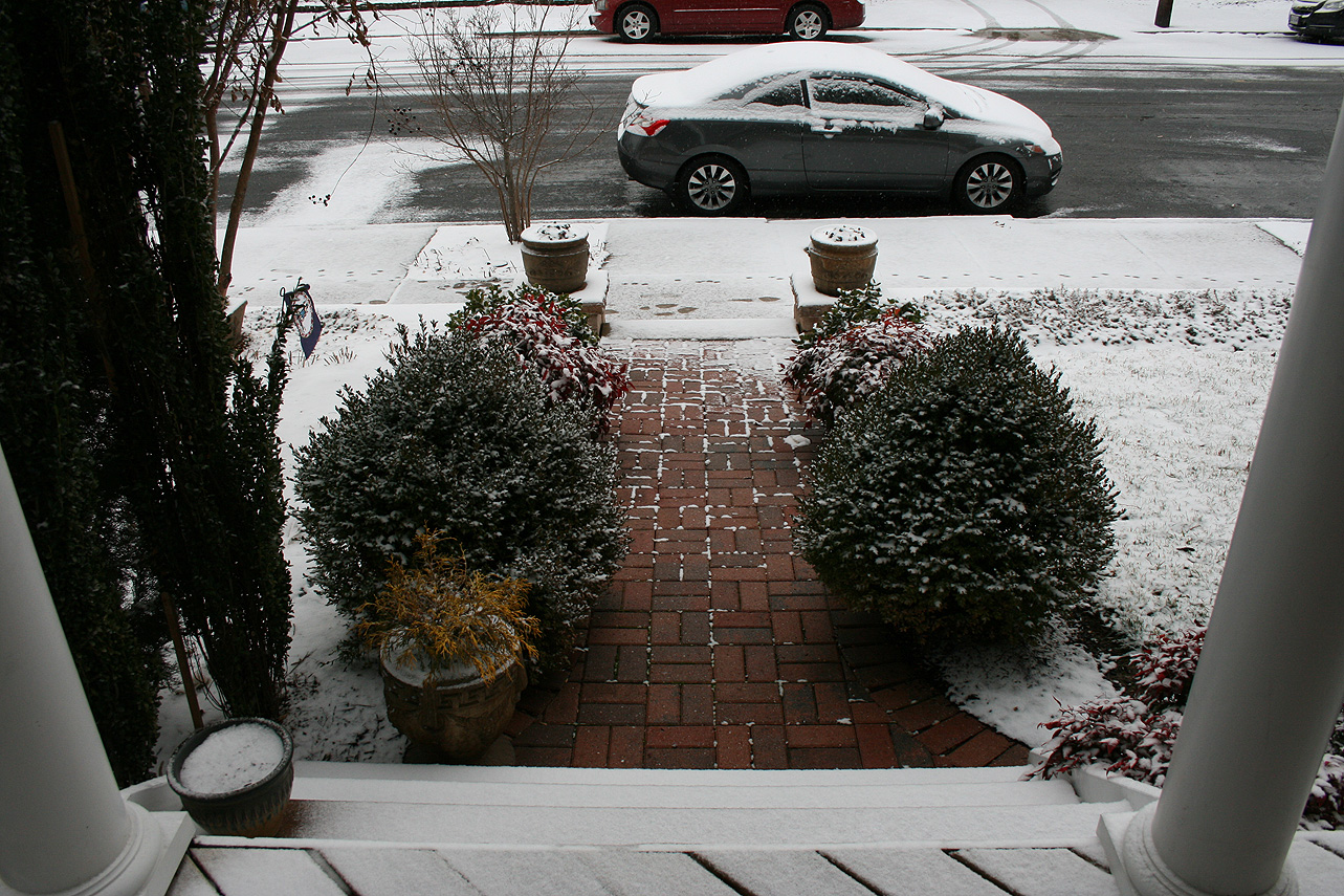
Photos:
Current & Historical Weather Events in Richmond, Virginia