UPDATE*
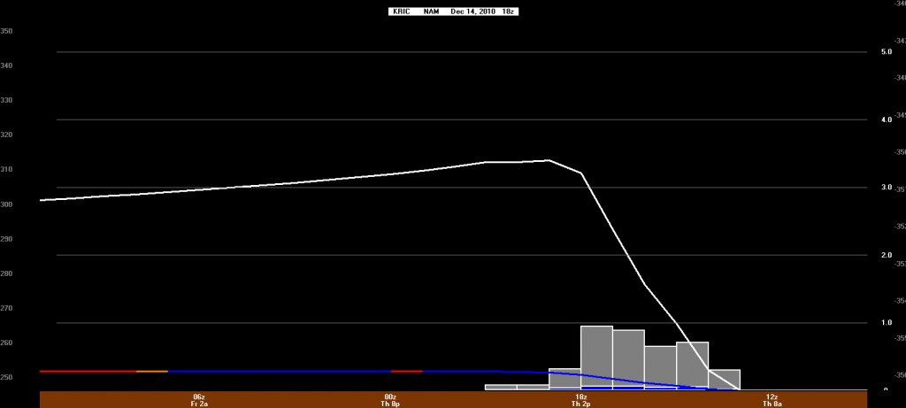
The NWS has now changed Thursday’s forecast to “Snow Likely” with a 60% chance. Snow should start around 9-10AM and continue through early evening. It may mix with some sleet and/or freezing rain as it tapers off.
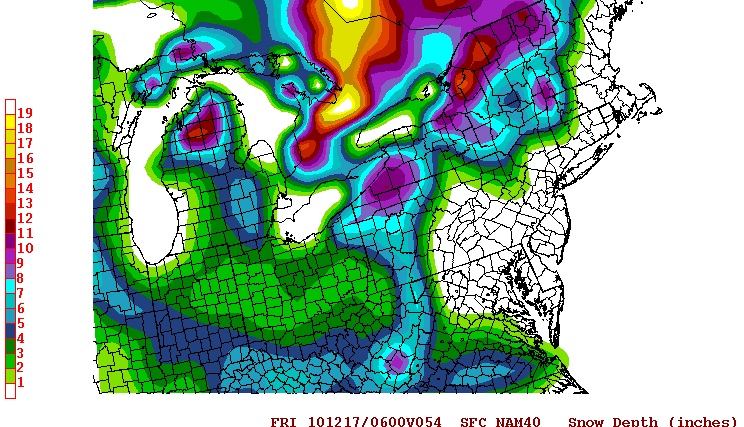
The NAM is showing 3-4″ for us, as of the last run. We’ll monitor this as Thursday nears.


I rescind my previous comment. Consensus seems to be that a storm will dive in from the ORV Thursday, with the bulk of the moisture bullseyeing Raleigh. The northern edge will hit us and bring snow showers to Central VA. Nothing too extreme, maybe an inch or two with some sleet possibly mixing in. The track will determine how much of what we get. More north = more snow showers, more south = flurries, clouds. It’s a wait-n-see deal.
Updates as they become available