Deprecated: Optional parameter $selected declared before required parameter $args is implicitly treated as a required parameter in /home/richmon/domains/richmondcitywatch.com/public_html/rvawx_test/wp-content/plugins/archives-calendar-widget/arw-settings.php on line 178
Deprecated: Optional parameter $view declared before required parameter $args is implicitly treated as a required parameter in /home/richmon/domains/richmondcitywatch.com/public_html/rvawx_test/wp-content/plugins/archives-calendar-widget/arw-widget.php on line 480
Deprecated: Optional parameter $archiveMonth declared before required parameter $args is implicitly treated as a required parameter in /home/richmon/domains/richmondcitywatch.com/public_html/rvawx_test/wp-content/plugins/archives-calendar-widget/arw-widget.php on line 480
Warning: Trying to access array offset on value of type bool in /home/richmon/domains/richmondcitywatch.com/public_html/rvawx_test/wp-content/plugins/archives-calendar-widget/archives-calendar.php on line 64 february | RVAWX.com
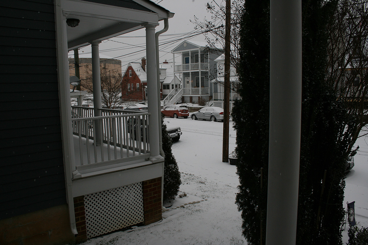
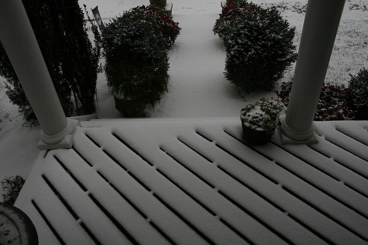
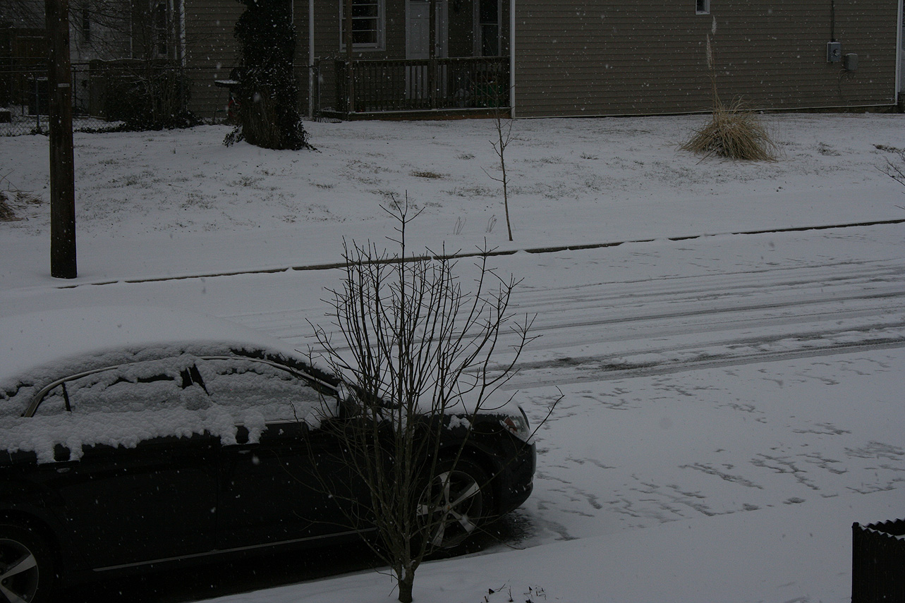
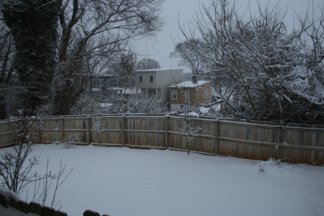
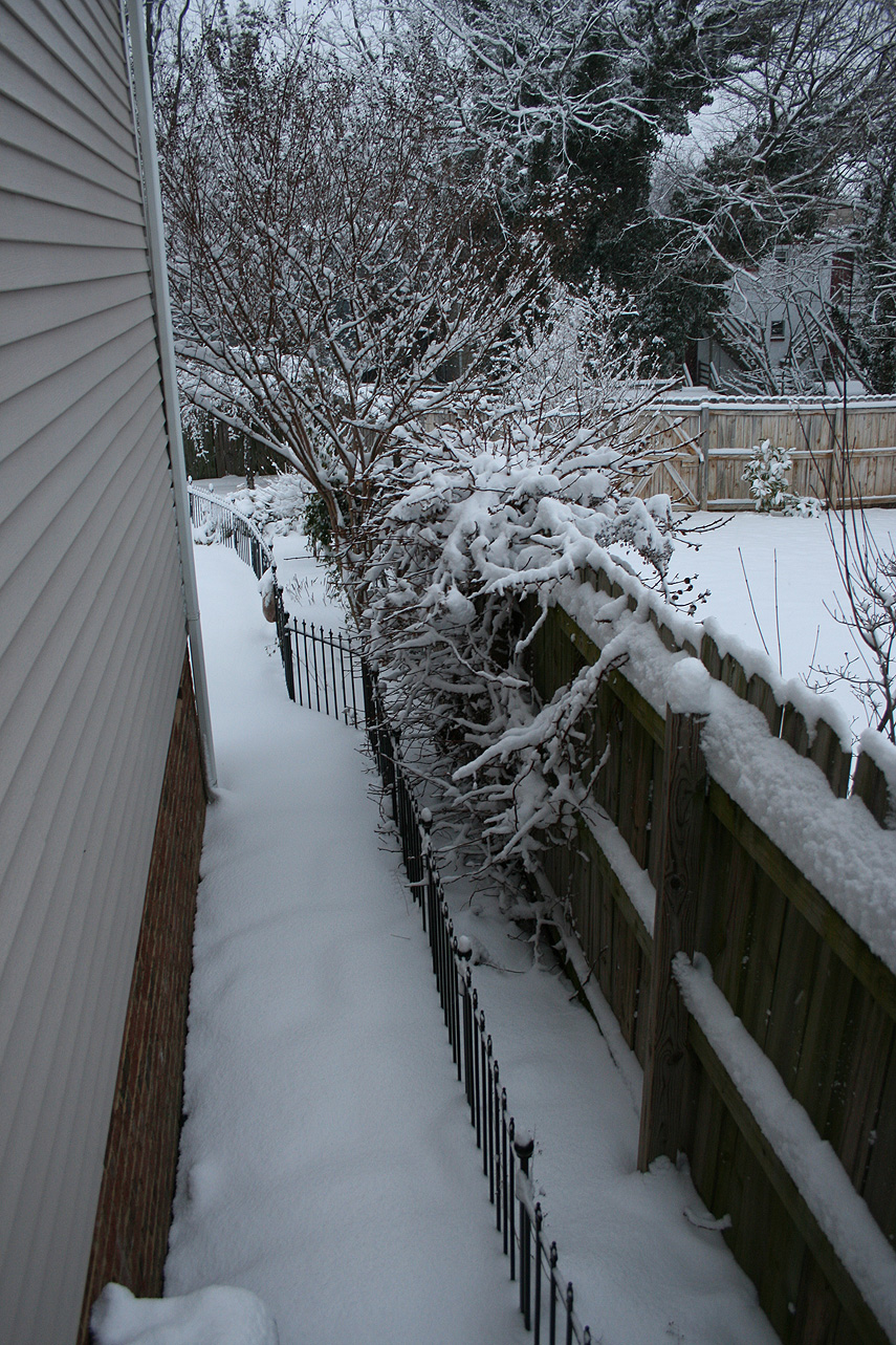
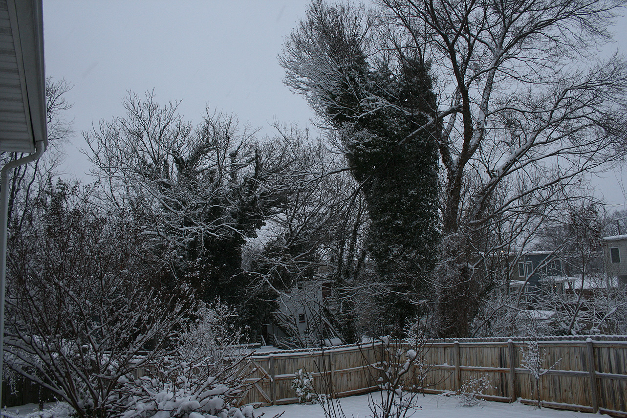
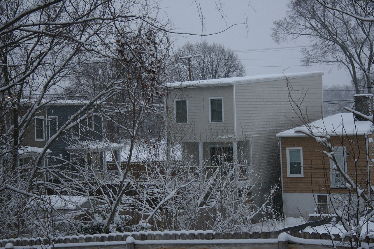
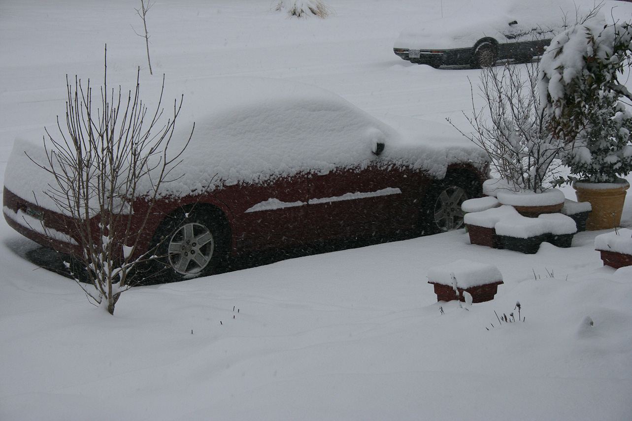
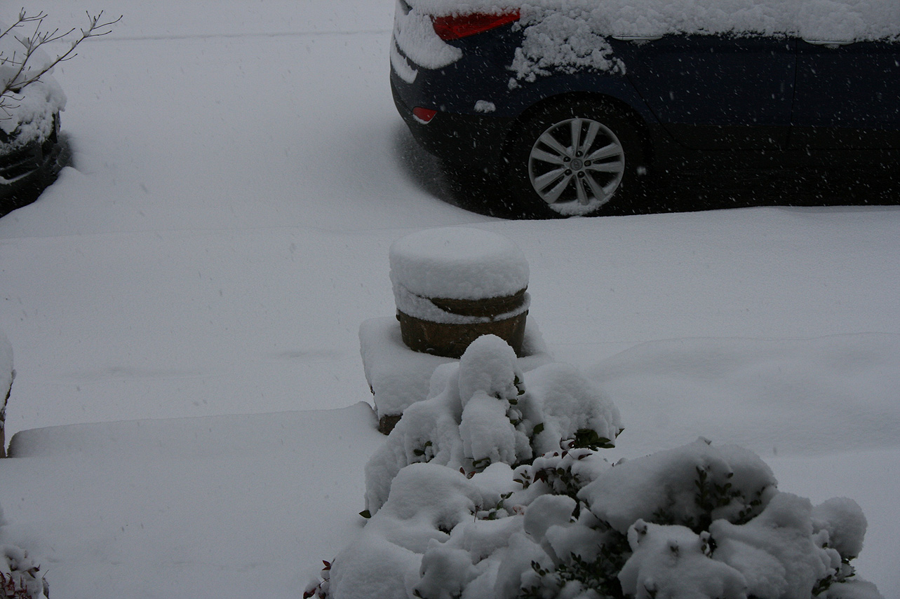
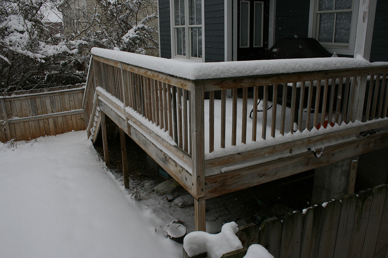
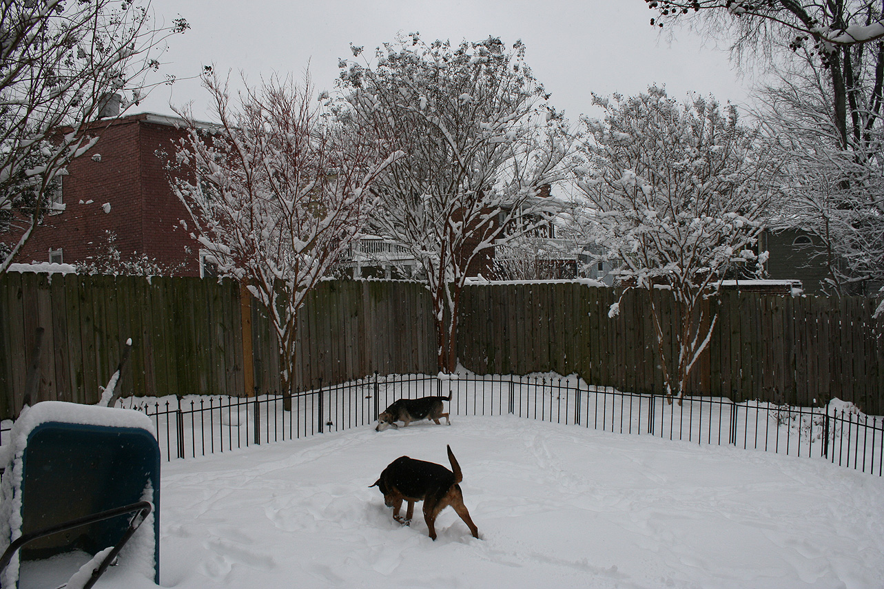
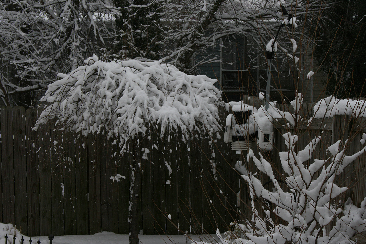
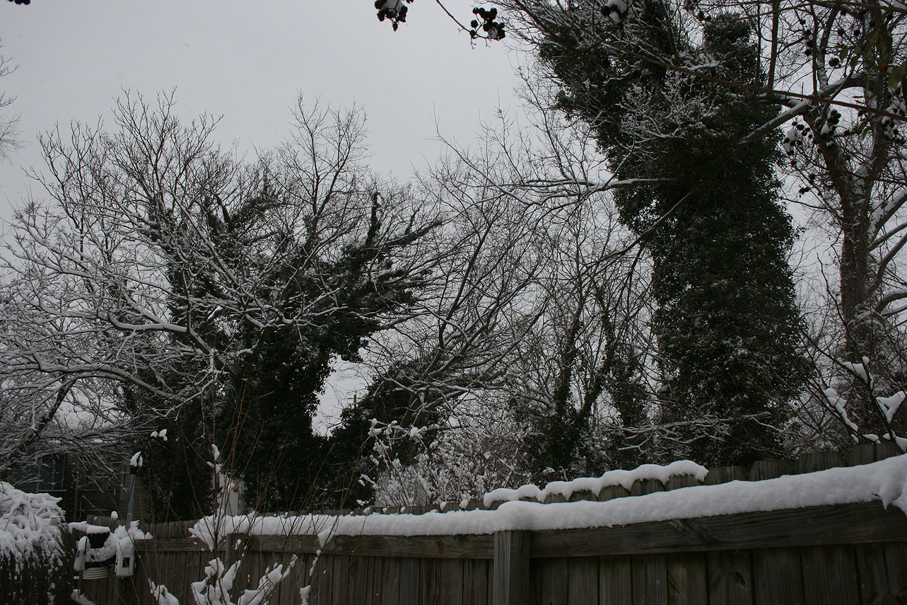
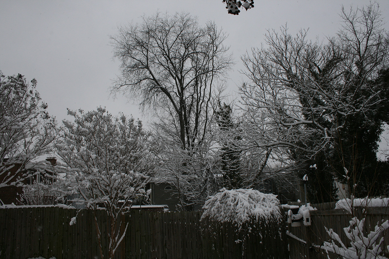
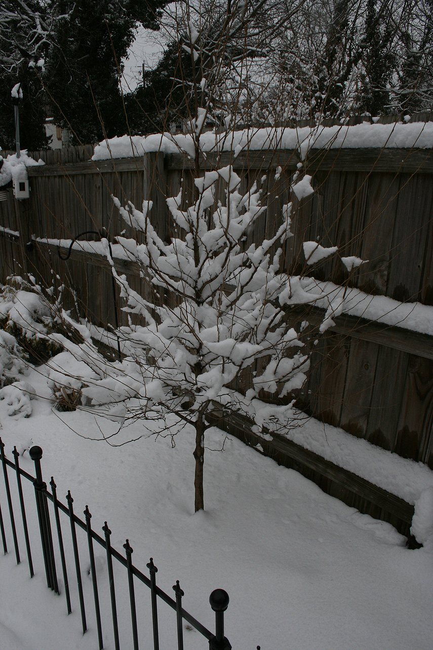
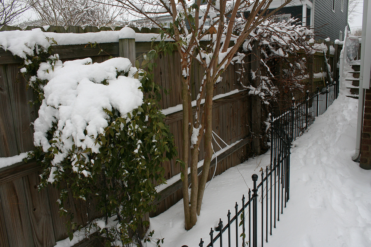
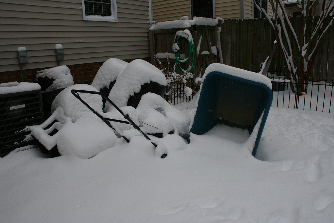
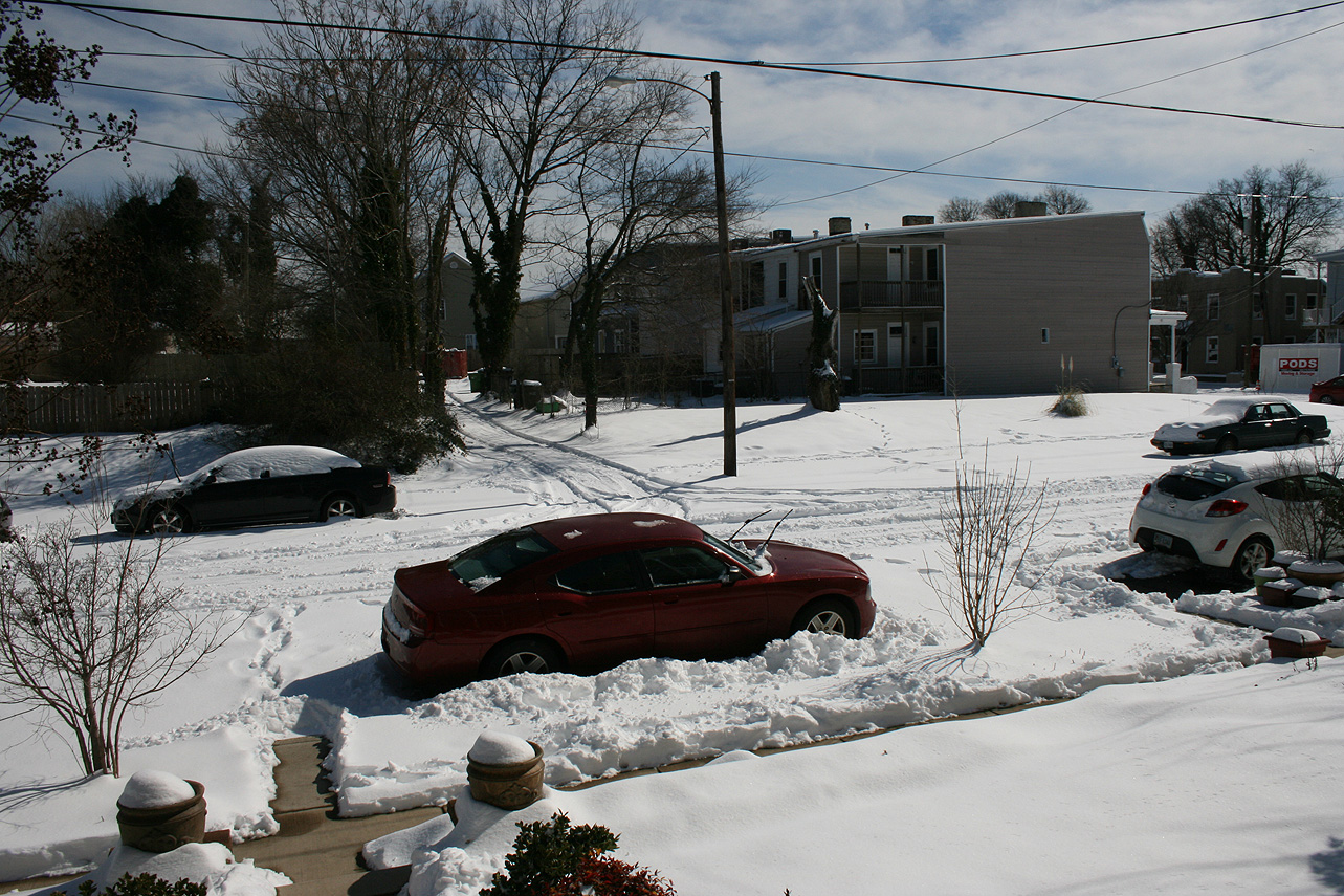
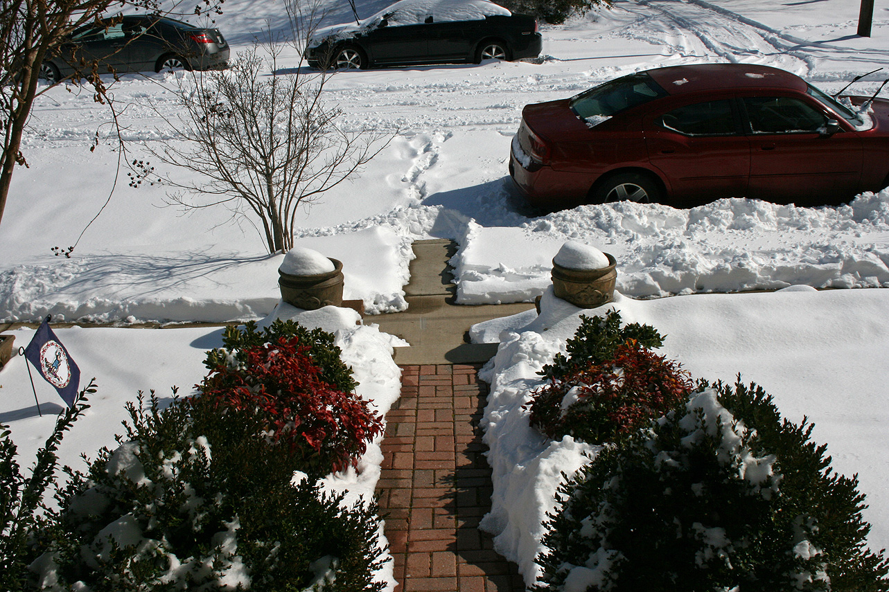
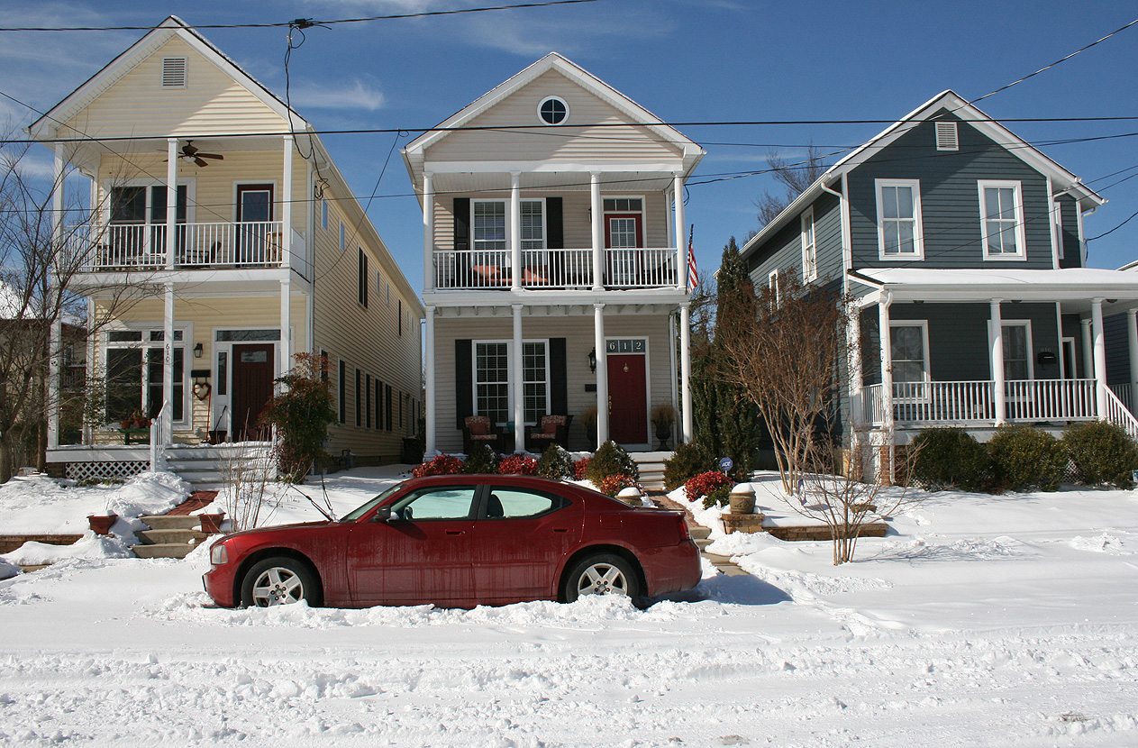
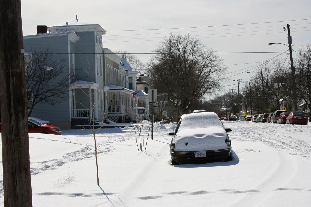
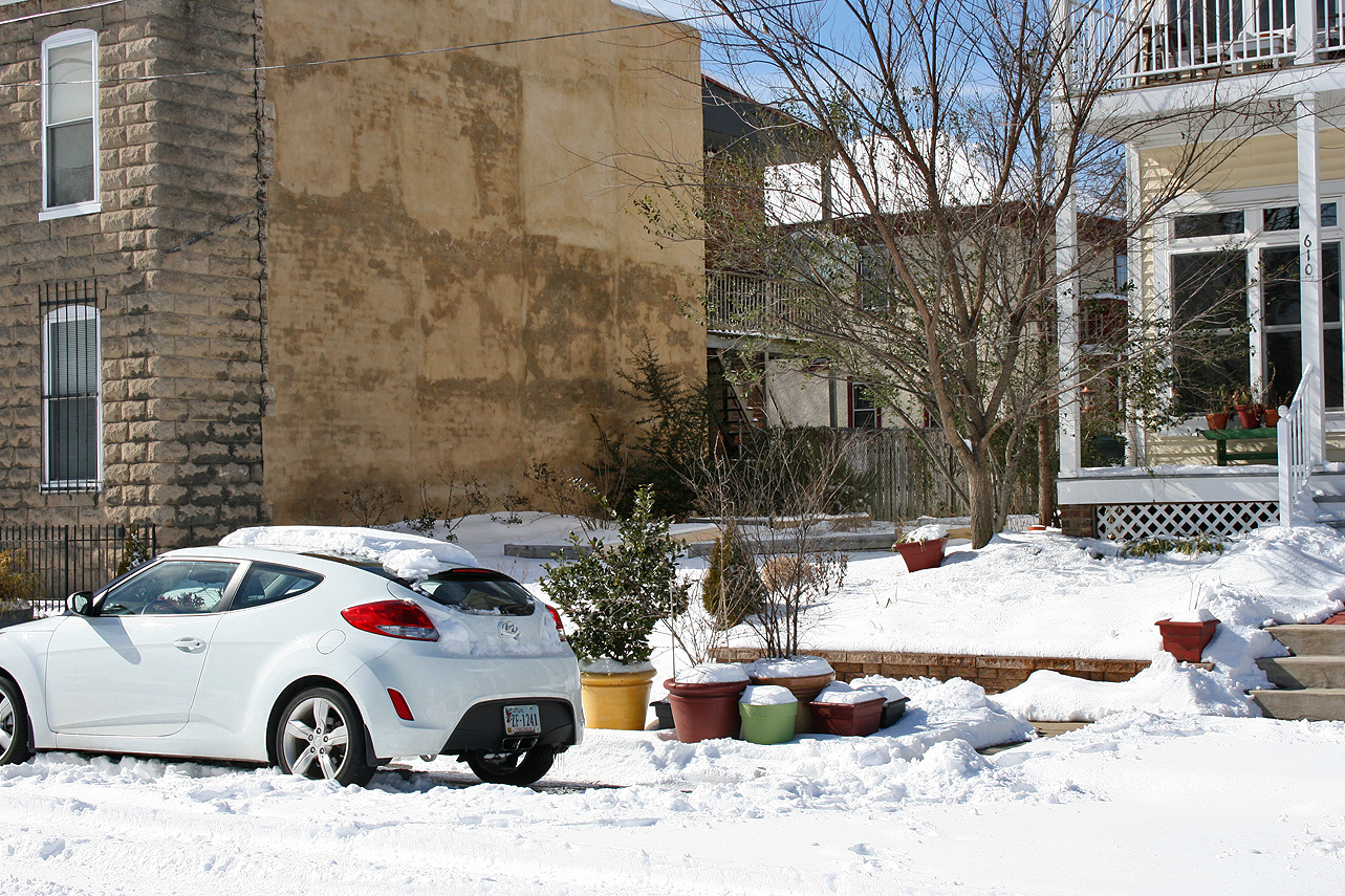
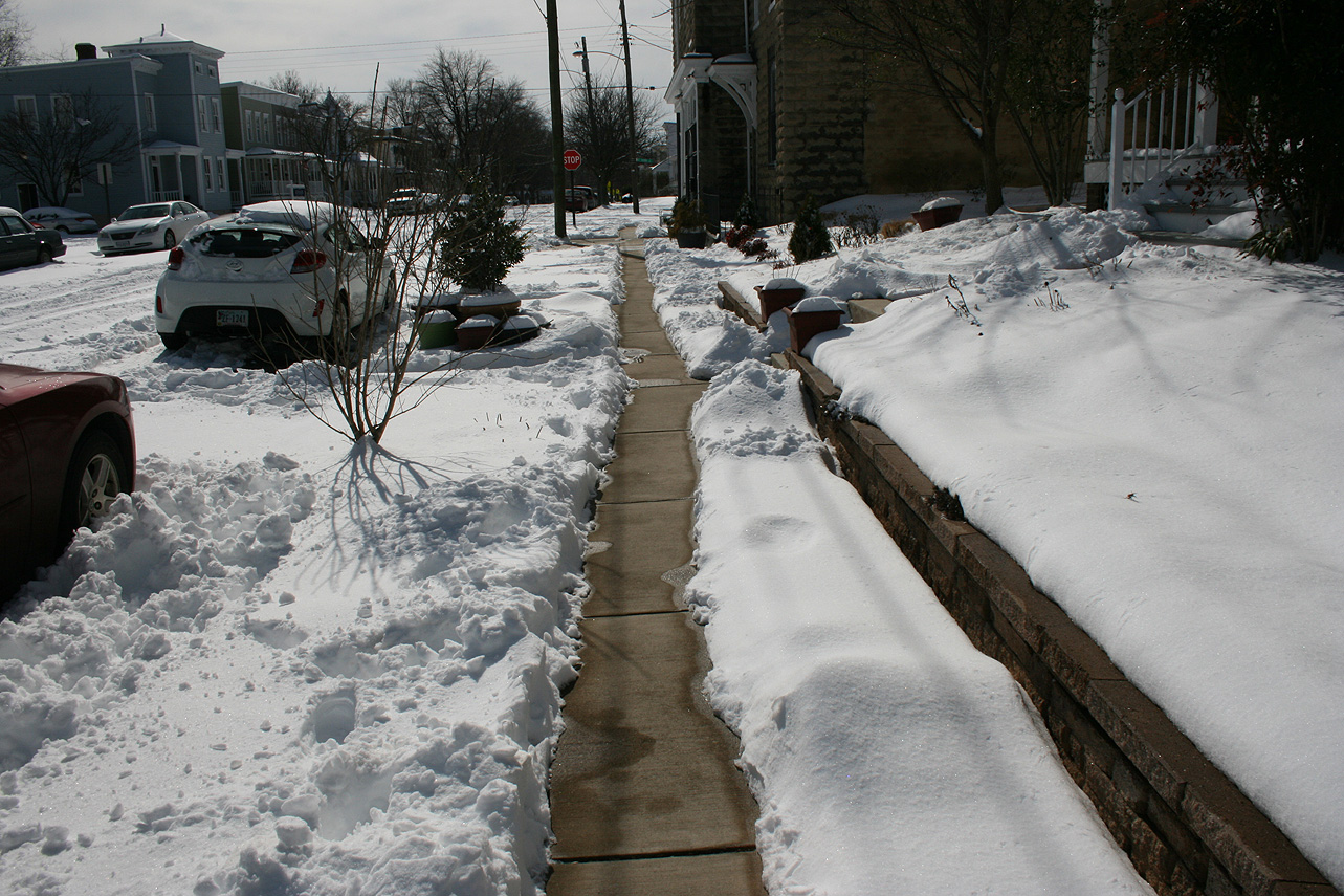
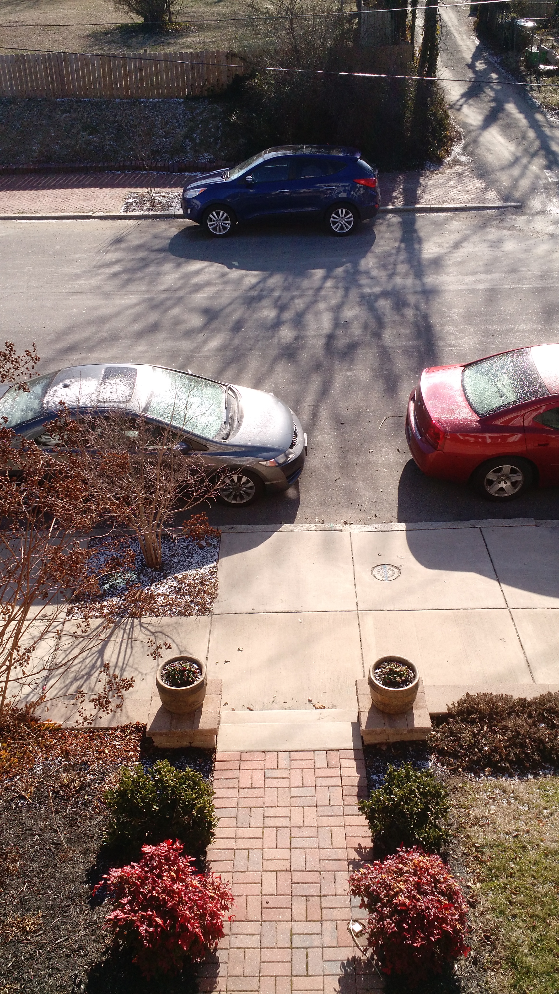
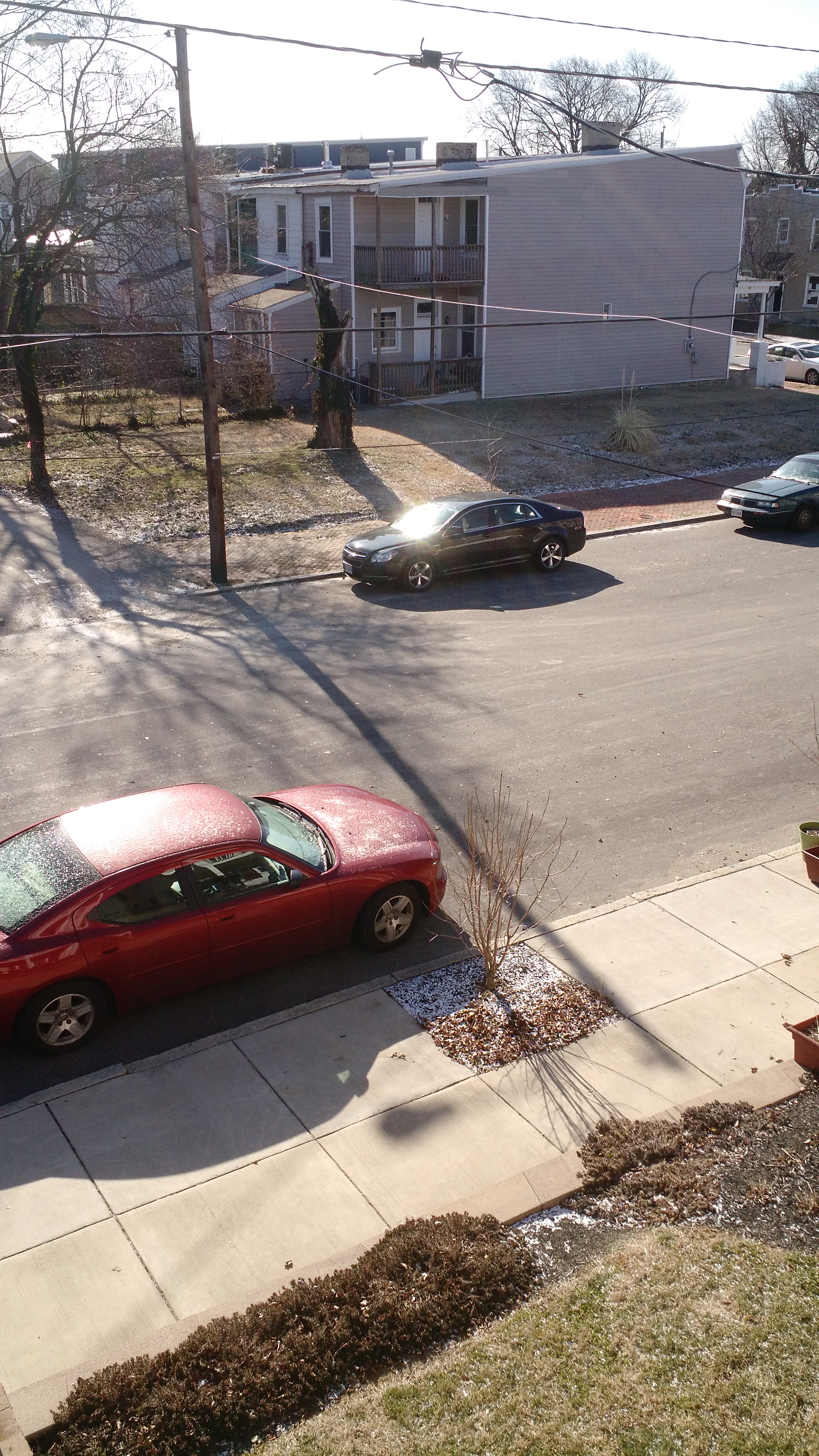
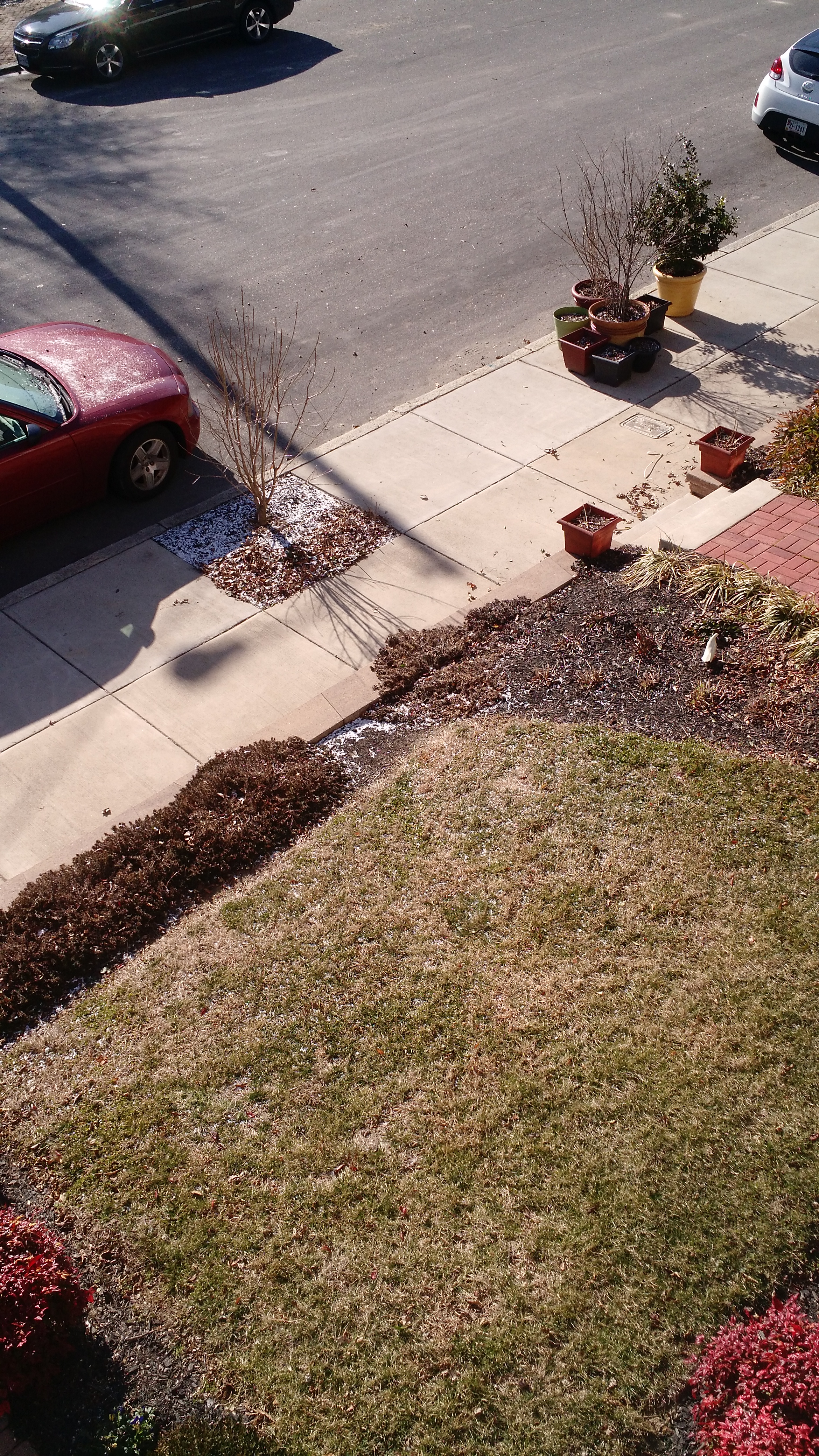
Church Hill Storm Observation Summary:
* Place – Time: Church Hill, (2/15/2016)
* Temperature: 23-, During Event
* Winter Weather Watch/Warning/Advisory: Watch & Advisory
* Closings: All local school districts were closed on 2/15, Chesterfield County Government was also closed on 2/15.
* Predicted Totals: Between 2-3″ before the storm. NWS updated to 2-4″ the morning of the event.
* Road Conditions: All roads had substantial snow and ice accumulation on them.
* Precipitation Description: Snow, sleet and freezing rain. Snow began around 4:00 AM. Snow transitioned to sleet and light freezing drizzle around 10:30 AM.
* Total Precipitation: 1.25″ of snow with minor icing occurring from about 10:30 AM until 5 PM in the afternoon. 1.4″ of snow was reported at the Richmond airport.
* Comments: Snow began in the early morning hours with about a 0.5″ accumulating on all surfaces by 8 AM. Snow changed to sleet and freezing drizzle at around 10:30 AM. The system eventually transitioned to rain by 5 PM.
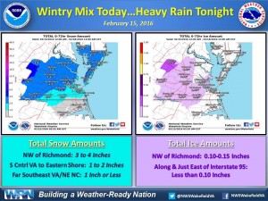
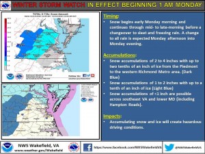
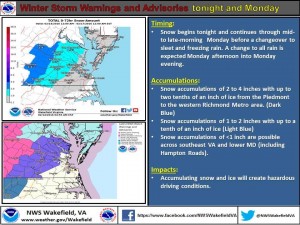
A multi-part storm will impact central Virginia on February 15th. A winter storm watch was issued on February 13th. It was converted to a winter weather advisory on February 14th. Consensus is building on the models to have snow fall overnight on the 14-15th, transition to sleet and freezing rain by noon and to rain by the afternoon.
NWS Forecast Graphic on 2/13/16NWS Forecast Graphic on 2/14/16
URGENT – WINTER WEATHER MESSAGE
NATIONAL WEATHER SERVICE WAKEFIELD VA
354 AM EST SUN FEB 14 2016
VAZ064>068-511-513-515-141700-
/O.UPG.KAKQ.WS.A.0002.160215T0600Z-160216T0500Z/
/O.NEW.KAKQ.WW.Y.0005.160215T0500Z-160216T0000Z/
CAROLINE-MECKLENBURG-LUNENBURG-NOTTOWAY-AMELIA-WESTERN HANOVER-
WESTERN CHESTERFIELD-WESTERN HENRICO-
INCLUDING THE CITIES OF…SOUTH HILL…CREWE…ASHLAND…
MIDLOTHIAN…BON AIR…RICHMOND
354 AM EST SUN FEB 14 2016
…WINTER WEATHER ADVISORY IN EFFECT FROM MIDNIGHT TONIGHT TO
7 PM EST MONDAY…
THE NATIONAL WEATHER SERVICE IN WAKEFIELD HAS ISSUED A WINTER
WEATHER ADVISORY FOR CENTRAL AND SOUTH CENTRAL VIRGINIA WHICH IS
IN EFFECT FROM MIDNIGHT TONIGHT TO 7 PM EST MONDAY. THE WINTER
STORM WATCH IS NO LONGER IN EFFECT.
* AREAS AFFECTED: CENTRAL AND SOUTH CENTRAL VIRGINIA.
* HAZARDS: SNOW…SLEET AND FREEZING RAIN.
* ACCUMULATIONS: TWO TO THREE INCHES OF SNOW…AND UP TO ONE TENTH OF
AN INCH OF ICE.
* TEMPERATURES: LOWS SUNDAY NIGHT AROUND 20. HIGHS LATE MONDAY IN
THE MID 30S.
* TIMING: SNOW OVERSPREADING THE AREA LATE SUNDAY NIGHT INTO
EARLY MONDAY MORNING…THEN CONTINUING THROUGH THE MORNING
HOURS MONDAY. THE SNOW IS EXPECTED TO CHANGE TO SLEET AND
FREEZING RAIN LATE MONDAY MORNING OR EARLY AFTERNOON…THEN
EVENTUALLY RAIN THROUGH MONDAY AFTERNOON AND MONDAY EVENING.
* IMPACTS: HAZARDOUS TRAVEL DUE TO SNOW AND ICE COVERED ROADS.
PRECAUTIONARY/PREPAREDNESS ACTIONS…
A WINTER WEATHER ADVISORY MEANS THAT PERIODS OF SNOW…SLEET…OR
FREEZING RAIN WILL CAUSE TRAVEL DIFFICULTIES. BE PREPARED FOR
SLIPPERY ROADS AND LIMITED VISIBILITIES…AND USE CAUTION WHILE
DRIVING.
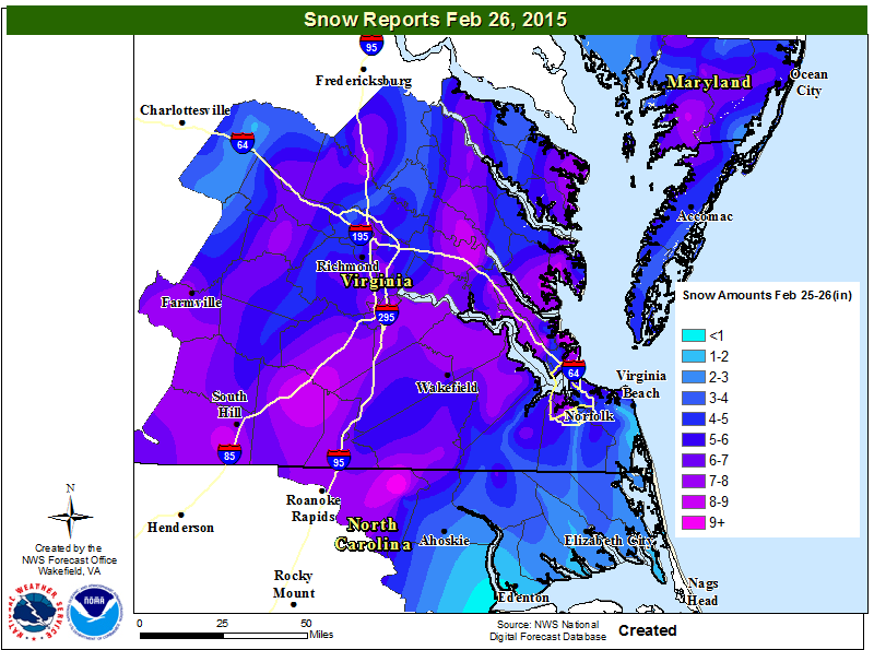
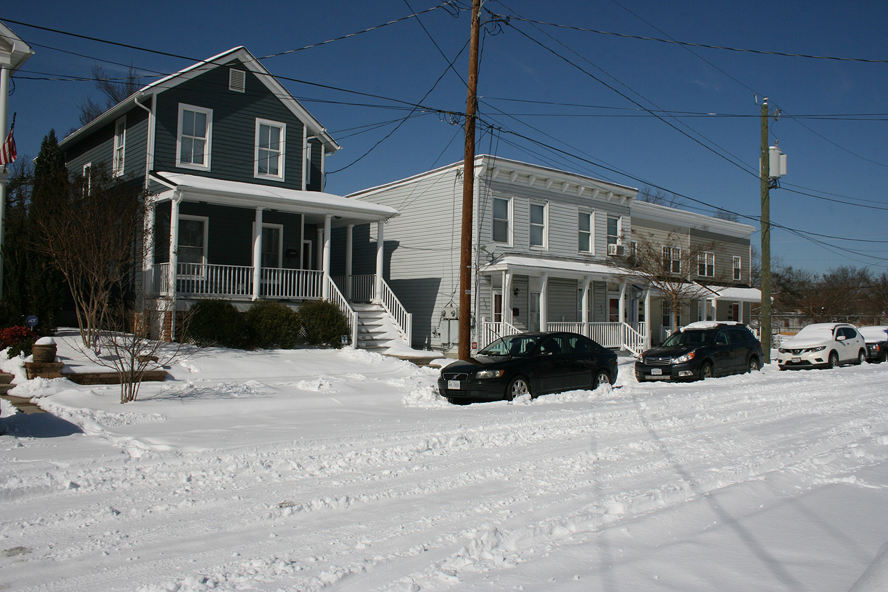
Church Hill Storm Observation Summary:
* Place – Time: Church Hill, (2/26/2015)
* Temperature: 30-32, During Event
* Winter Weather Watch/Warning/Advisory: Watch & Warning
* Closings: All local school districts were closed on 2/26 and 2/27, Chesterfield County Government closed on 2/26.
* Predicted Totals: Between 3-6″ and 4-8″ the day before and day of the event.
* Road Conditions: All roads had snow accumulation on them. Local streets were covered at the onset of the snow.
* Precipitation Description: Snow, which began at 1:30 AM on 2/26, ended around 10 AM on 2/26.
* Total Precipitation: 5.75″ of snow. 5.0″ of snow was reported at the Richmond airport. Locally heavier snow to the south and east of Richmond.
* Comments: A southern slider system that originated along the gulf coast, dubbed “Remus”, developed and slide up along the Carolina coast, east of Virginia Beach. Snow broke out after midnight and was heavy for 3-4 hours. The heaviest snow and accumulation occurred between 2 AM and 7 AM. This was a wetter snow, which allowed it to cling to the trees and power lines. Impacts from snow to the Richmond area were significant from this storm.
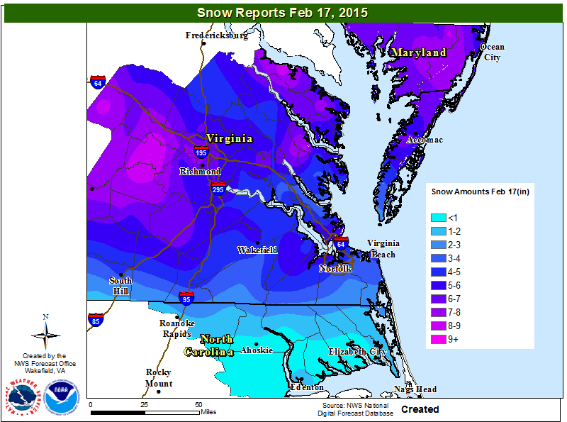
Church Hill Storm Observation Summary:
* Place – Time: Church Hill, (2/17/2015)
* Temperature: 17-20, During Event
* Winter Weather Watch/Warning/Advisory: Watch & Warning
* Closings: All local school districts closed on 2/17, Chesterfield County Government closed early on 2/16, and closed on 2/17. Delayed opening on 2/18.
* Predicted Totals: Between 6-10″ and 9-14″ the day before and day of the event.
* Road Conditions: All roads had snow accumulation on them. Local streets were covered at the onset of the snow.
* Precipitation Description: Snow, which began at 1 PM on 2/16 and ended around 7 AM on 2/17. Sleet mixed in overnight after 12 AM on 2/17.
* Total Precipitation: 6.0″ of snow. 6.9″ of snow was reported at the Richmond airport. Locally heavier snow to the west of Richmond. Sleet likely compacted measurement total in Richmond.
* Comments: A southern slider system that originated in Missouri/Arkansas, dubbed “Octavia”, developed and slide east through the Tennessee Valley, south of Virginia. Snow broke out during the day on 2/16 and was light until 6 and 7 PM. The heaviest snow and accumulation occurred between 7 PM and 12 AM. Sleet mixed with snow overnight, which limited snow totals. Impacts from snow and ice to the Richmond area were significant from this storm.
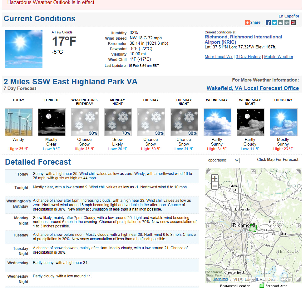
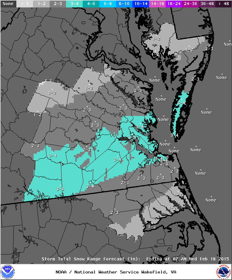
It appears that a potentially potent system will develop in the lower Midwest and slide east Monday, impacting Richmond from Monday night into Tuesday morning. As of Sunday morning, no watches or warnings are posted for the Wakefield area. Models are already depicting heavy snowfall totals for central Virginia, with 6″ or more of snow being depicted. TWC and Channel 12 are already saying that a 8-12″ storm could be possible. TWC has named the storm “Octavia”.
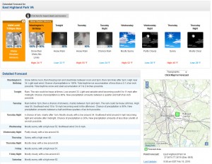
NWS Forecast, 2/15/15
NWS Forecast
Update: Afternoon of 2/15/2015
Winter Storm Watch
URGENT - WINTER WEATHER MESSAGE
NATIONAL WEATHER SERVICE WAKEFIELD VA
440 PM EST SUN FEB 15 2015

VAZ048-049-060>064-067>074-080>083-160545-
/O.NEW.KAKQ.WS.A.0002.150216T2100Z-150217T1700Z/
FLUVANNA-LOUISA-PRINCE EDWARD-CUMBERLAND-GOOCHLAND-HANOVER-
CAROLINE-NOTTOWAY-AMELIA-POWHATAN-CHESTERFIELD-HENRICO-
KING WILLIAM-KING AND QUEEN-ESSEX-DINWIDDIE-PRINCE GEORGE-
CHARLES CITY-NEW KENT-
INCLUDING THE CITIES OF...LOUISA...FARMVILLE...GOOCHLAND...
ASHLAND...CREWE...COLONIAL HEIGHTS...RICHMOND...TAPPAHANNOCK...
PETERSBURG...HOPEWELL
440 PM EST SUN FEB 15 2015

...WINTER STORM WATCH IN EFFECT FROM MONDAY AFTERNOON THROUGH
TUESDAY MORNING...

THE NATIONAL WEATHER SERVICE IN WAKEFIELD HAS ISSUED A WINTER
STORM WATCH...WHICH IS IN EFFECT FROM MONDAY AFTERNOON THROUGH
TUESDAY MORNING.

* AREAS AFFECTED: CENTRAL AND EASTERN VIRGINIA.

* HAZARDS: HEAVY SNOW.

* ACCUMULATION: SNOW ACCUMULATION IS EXPECTED TO RANGE FROM 6 TO 8
  INCHES. HIGHER AMOUNTS ARE POSSIBLE OVER THE PIEDMONT.

* TEMPERATURES: UPPER TEENS TO LOW 20S.

* TIMING: SNOW IS EXPECTED TO SPREAD INTO THE EASTERN VIRGINIA
  PIEDMONT LATE MONDAY AFTERNOON AND INTO THE INTERSTATE 95
  CORRIDOR BY EARLY MONDAY EVENING. SNOW WILL CONTINUE MONDAY
  NIGHT AND TAPER OFF TUESDAY MORNING.

* IMPACTS: SNOW WILL REDUCE VISIBILITY AND RESULT IN
  HAZARDOUS...SNOW COVERED ROADS. EVEN PRIMARY ROADS AND HIGHWAYS
  WILL LIKELY BECOME SNOW COVERED DUE TO THE COLD TEMPERATURES.

PRECAUTIONARY/PREPAREDNESS ACTIONS...

A WINTER STORM WATCH MEANS THERE IS A POTENTIAL FOR SIGNIFICANT
SNOW...SLEET...OR ICE ACCUMULATIONS THAT MAY IMPACT TRAVEL.
CONTINUE TO MONITOR THE LATEST FORECASTS.

&&

$$
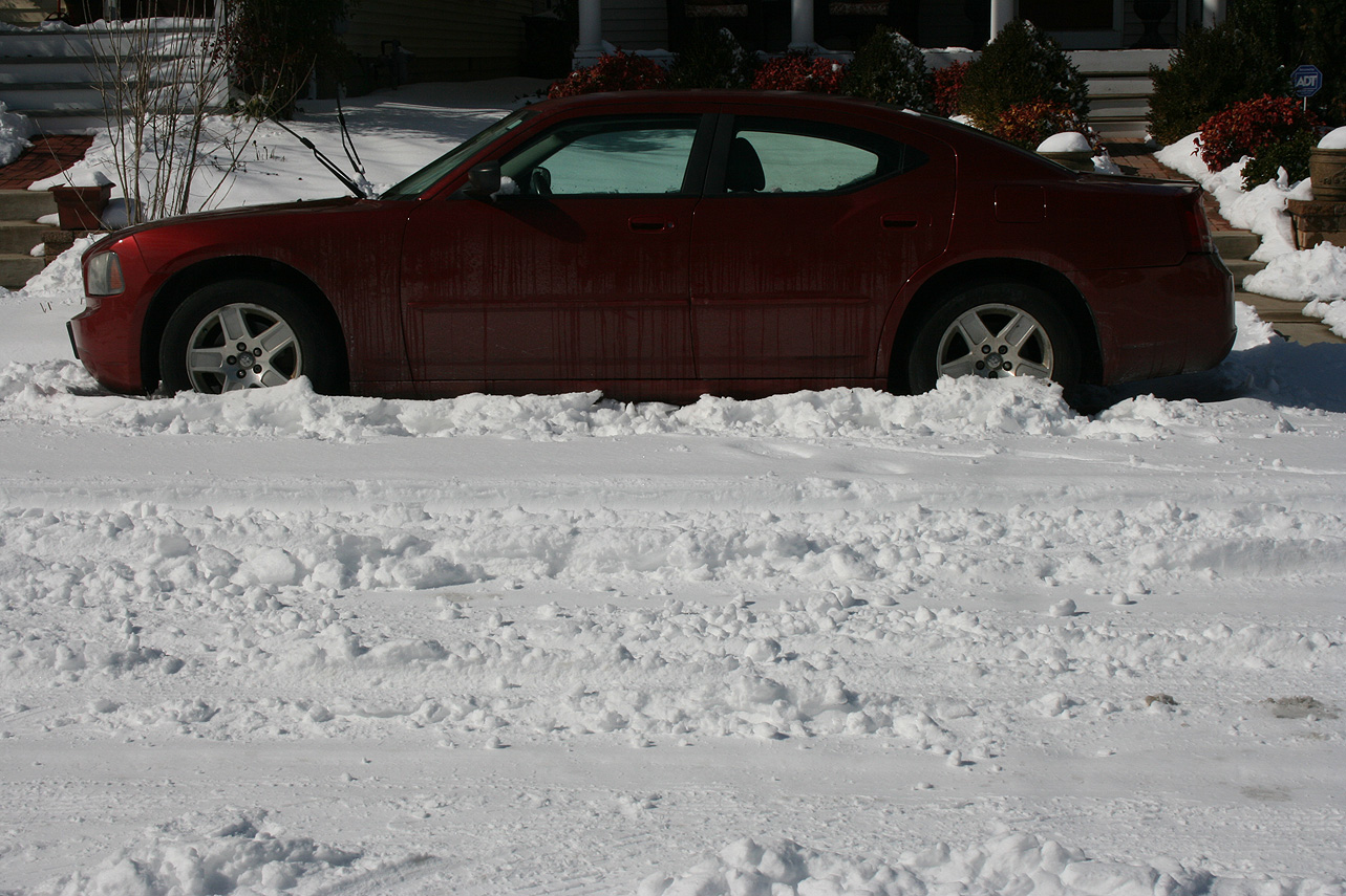
Church Hill Storm Observation Summary:
* Place – Time: Church Hill, (2/14/2015)
* Temperature: 31-44, During Event
* Winter Weather Watch/Warning/Advisory: None.
* Closings: None.
* Predicted Totals: Little to no accumulation was predicted for the event.
* Road Conditions: Slight impact to local roads, during heavy snowfall.
* Precipitation Description: Snow; which began around 8 PM and ended by 9 PM.
* Total Precipitation: Approximately 0.1″ of snow on most surfaces. A trace of snow/sleet or ice was reported at the Richmond airport.
* Comments: This was a short but intense event that accompanied the passage of an arctic front. Heavy snowfall rates coupled with gusts in the 45-50 MPH range (gust to 52 MPH at RIC airport) made for a dramatic snowfall event. Observations of lightening and thunder were observed in Church Hill. Overnight temperatures fell to 14 degrees on the 15th. Most of the accumulations evaporated by the morning of the 15th.
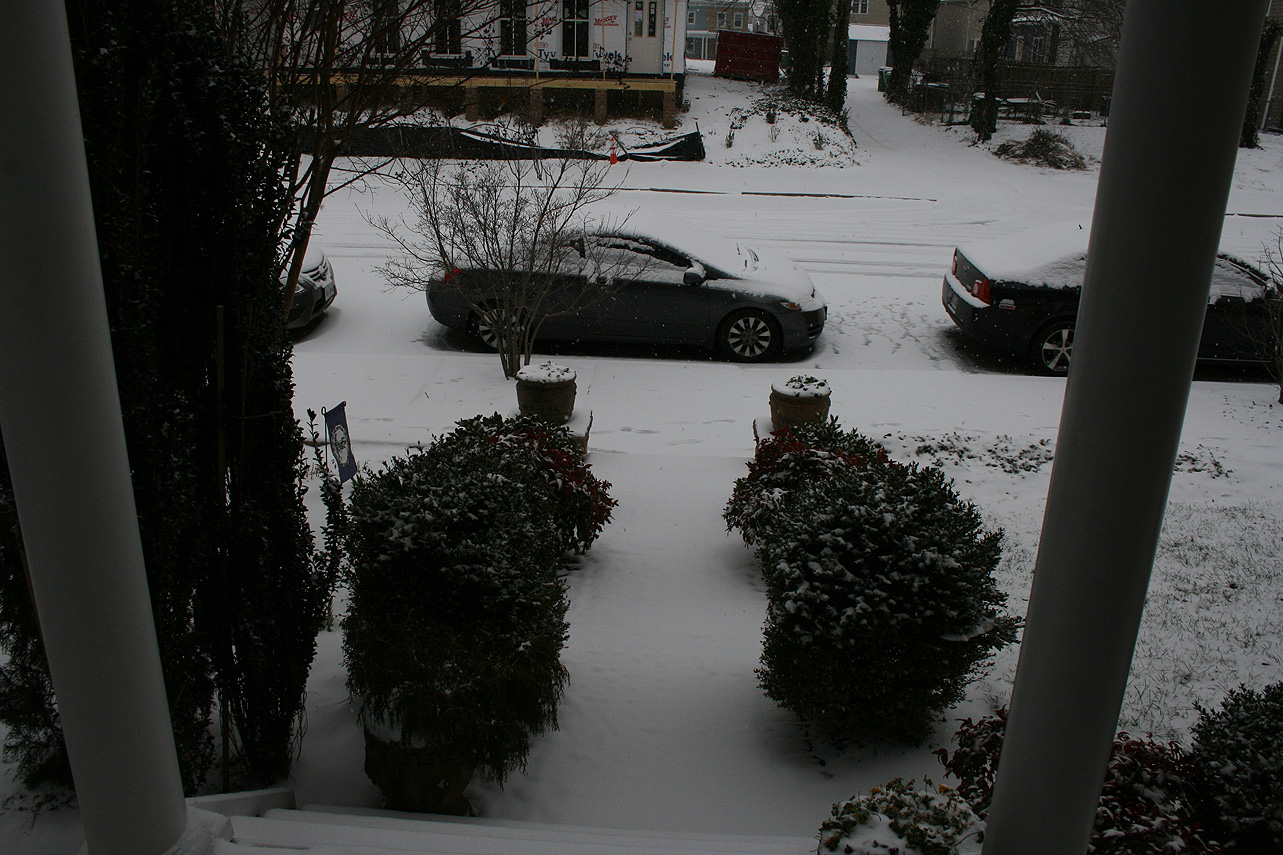
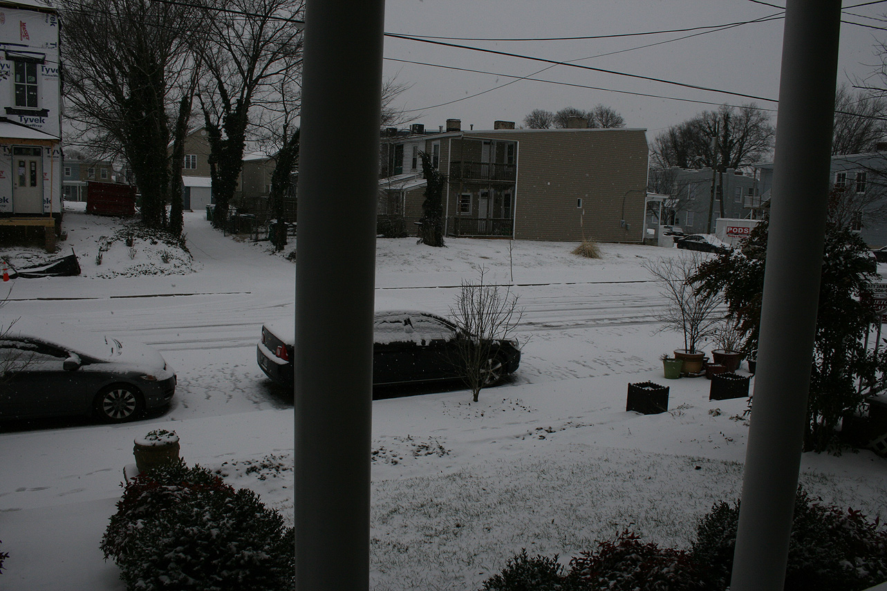
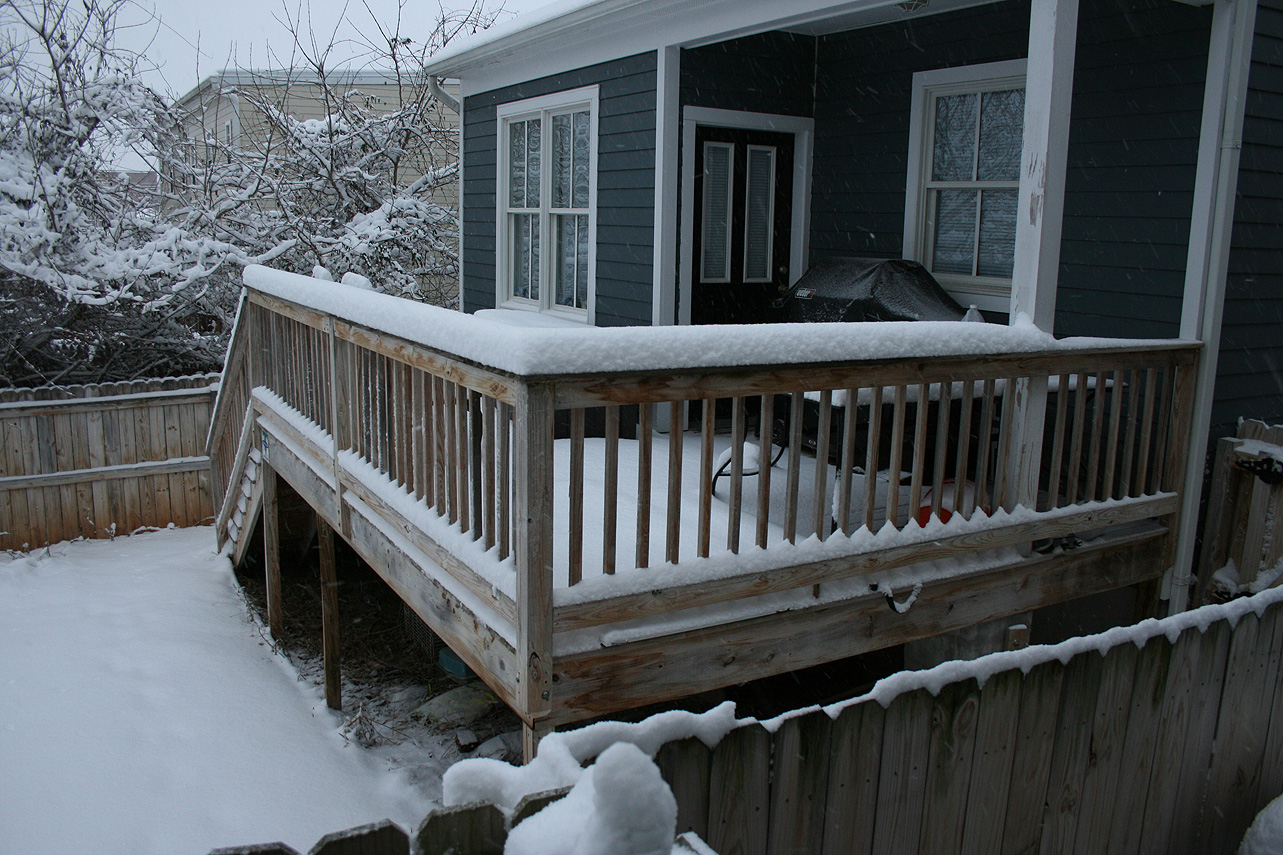
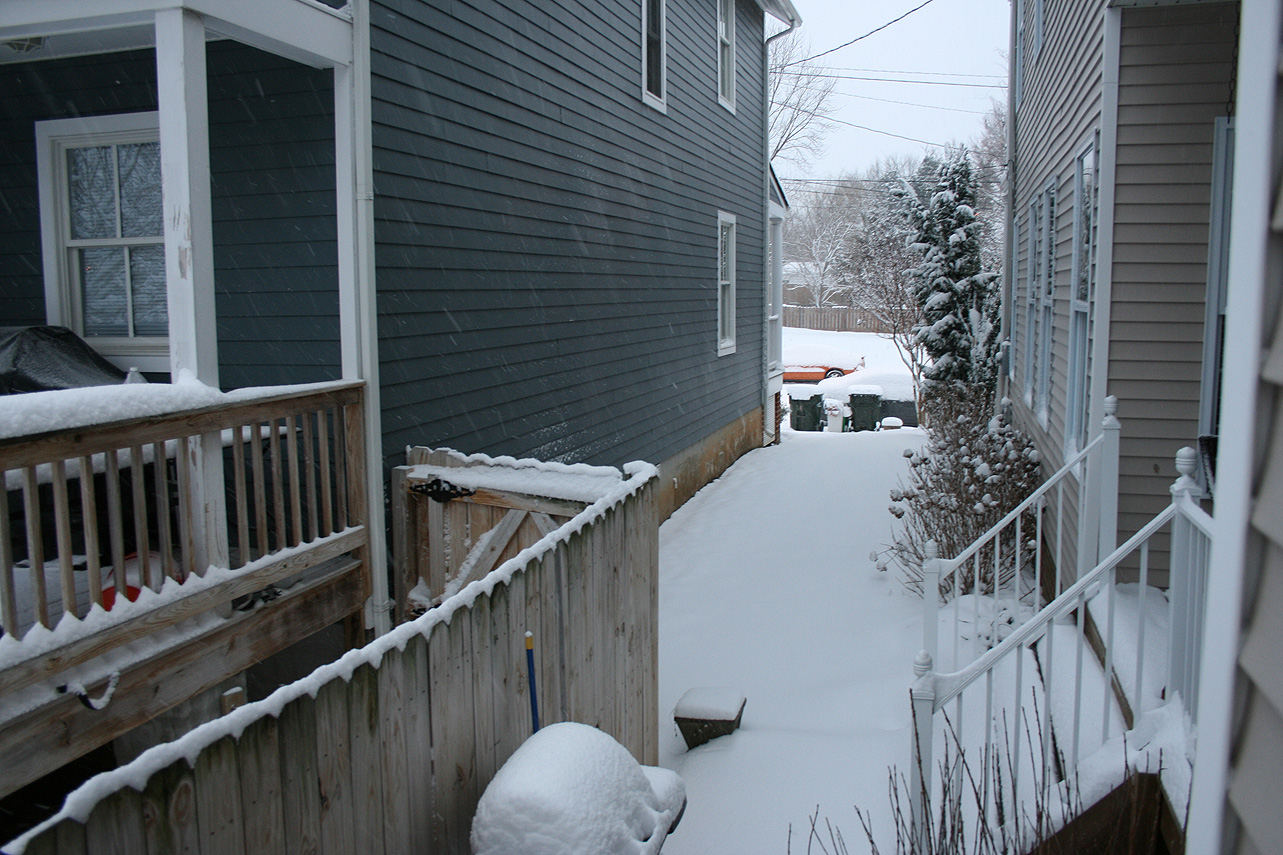
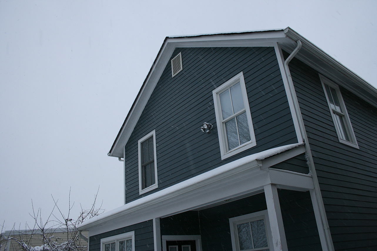
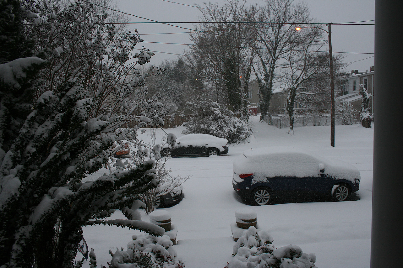
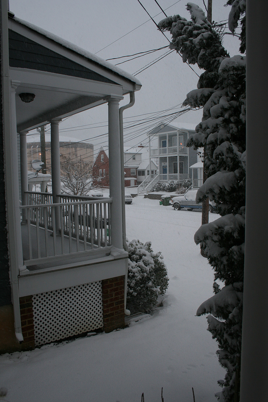
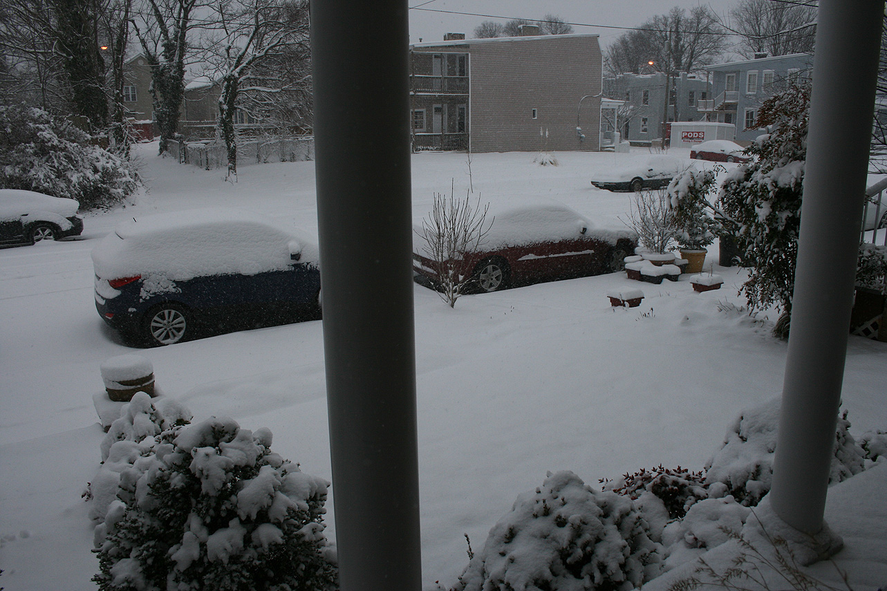
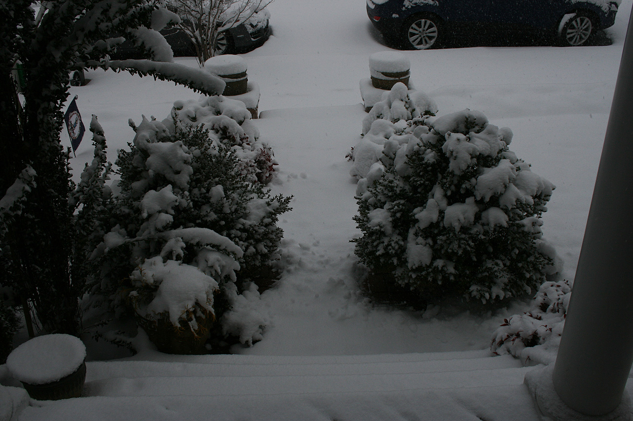
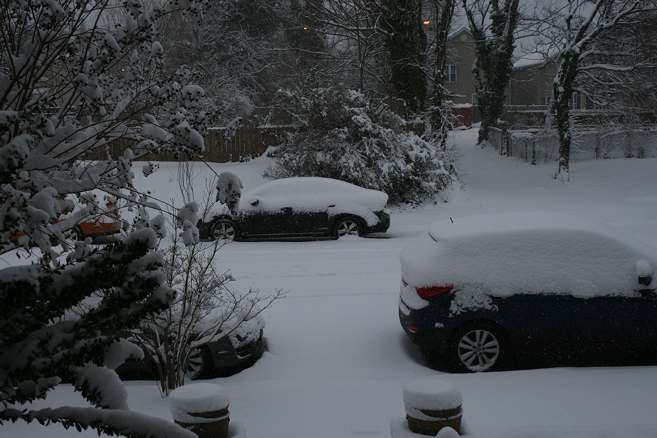
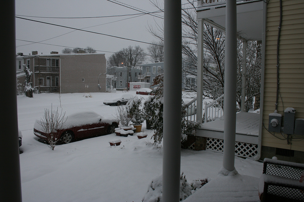
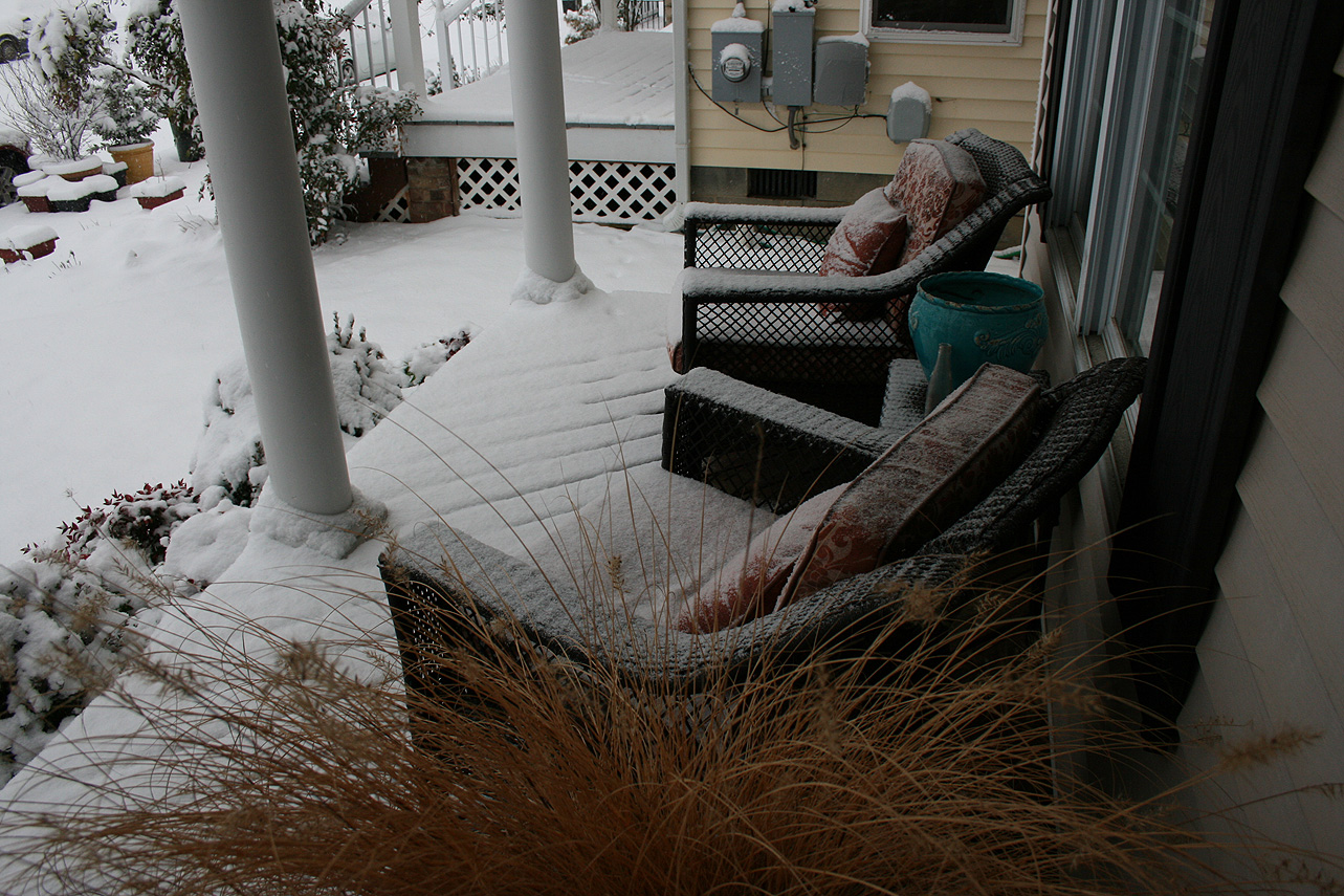
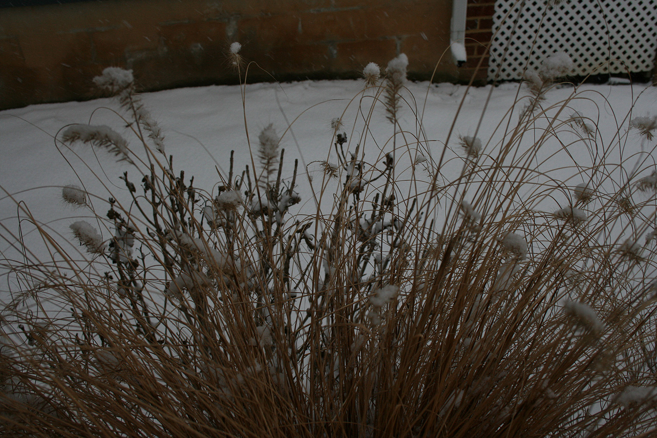
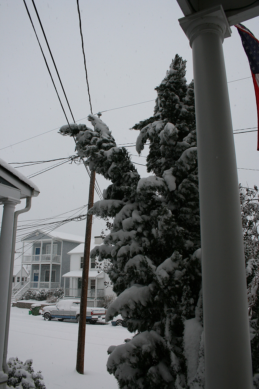
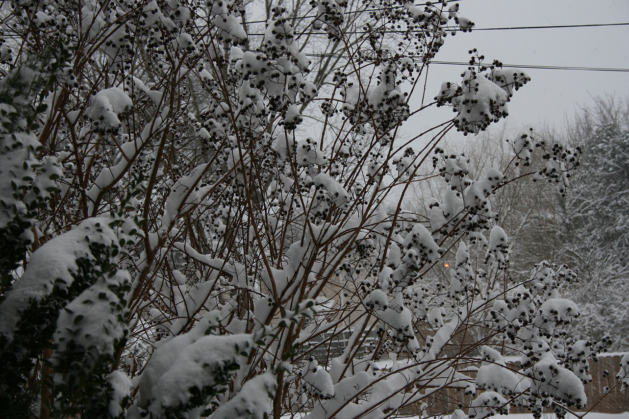
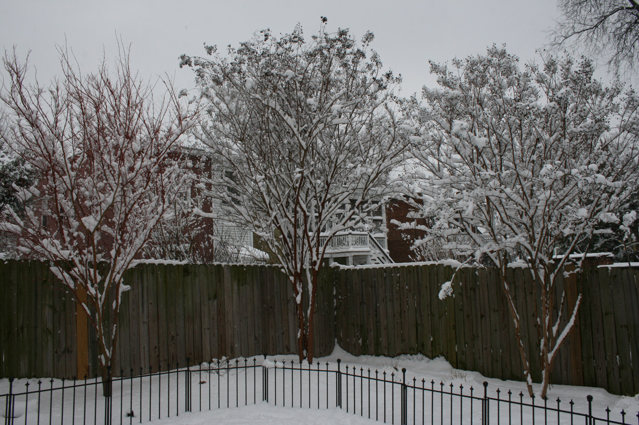
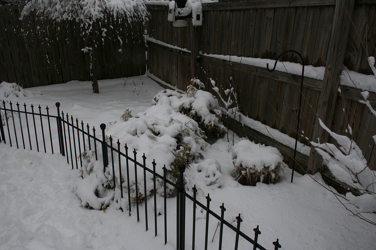
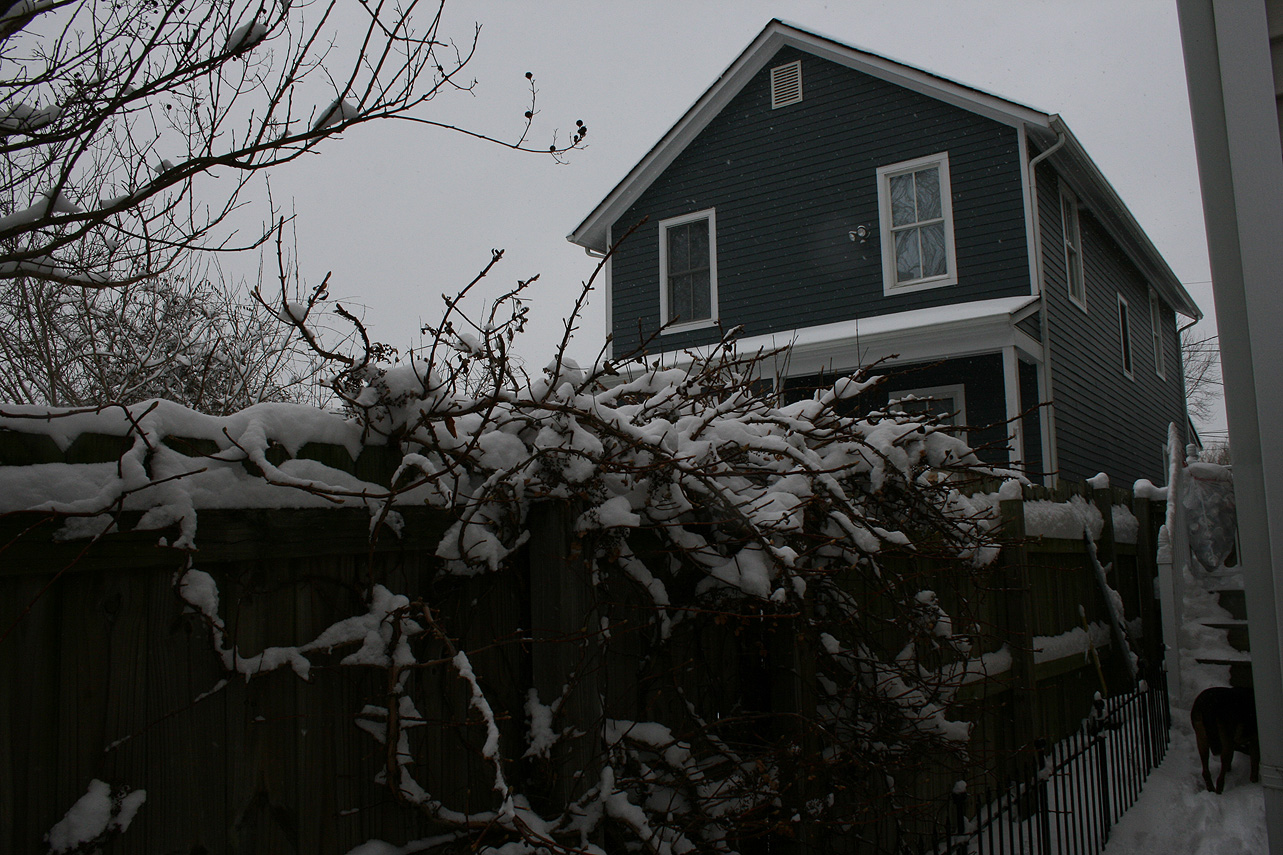
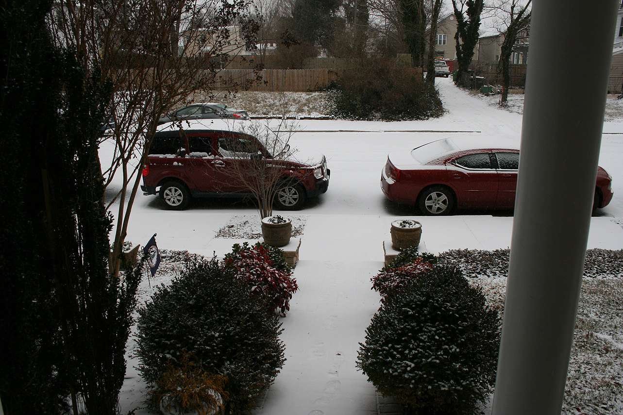
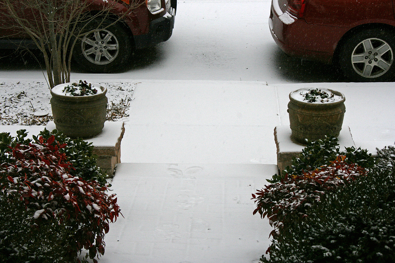
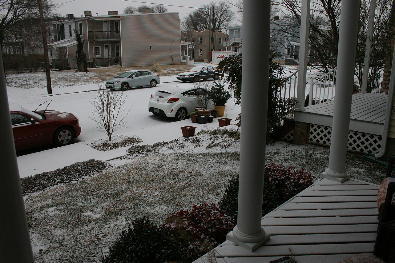
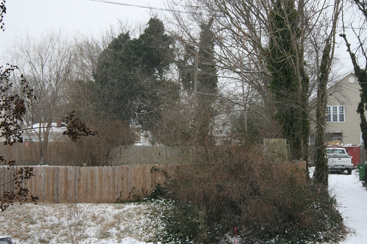
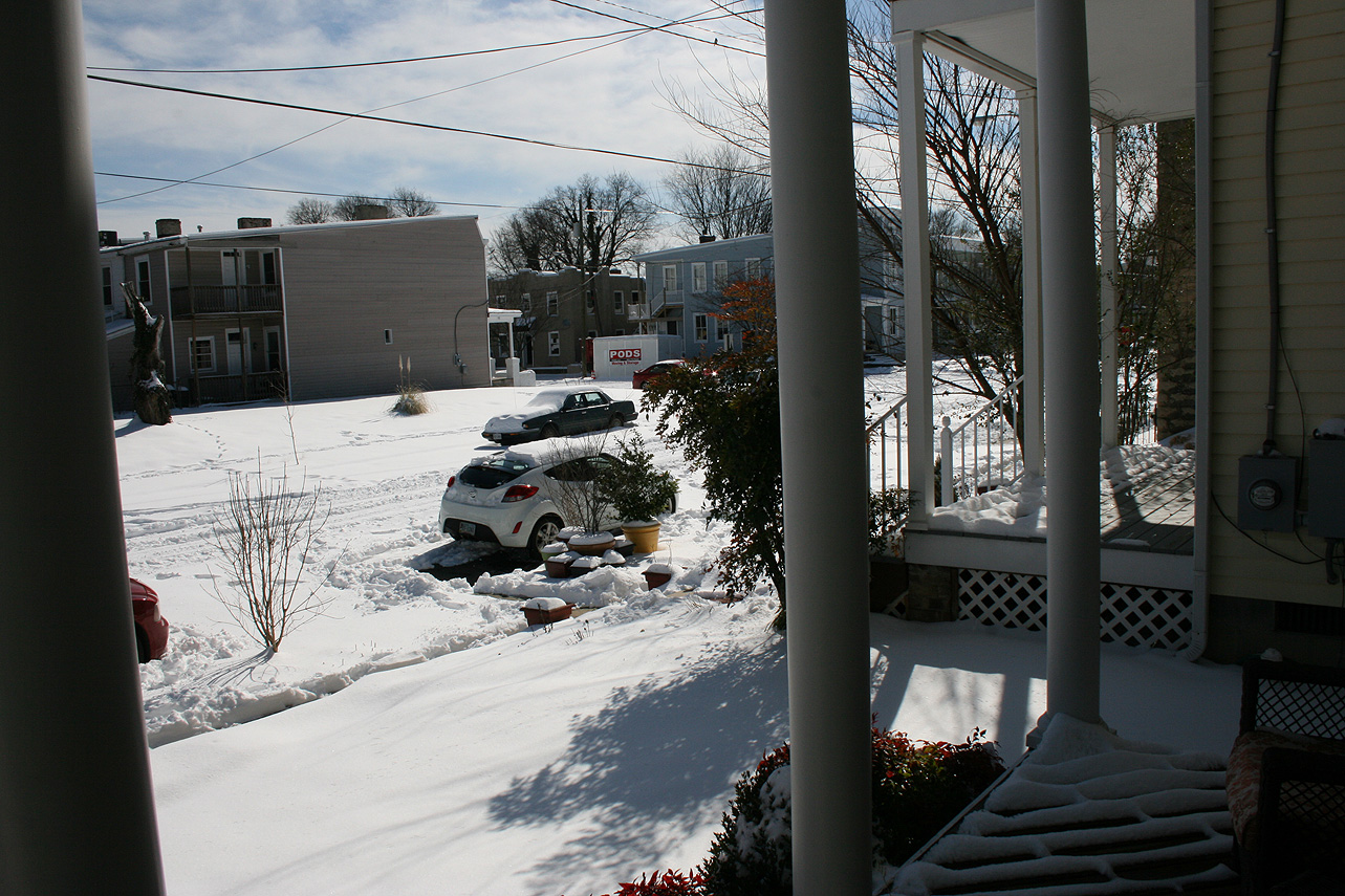
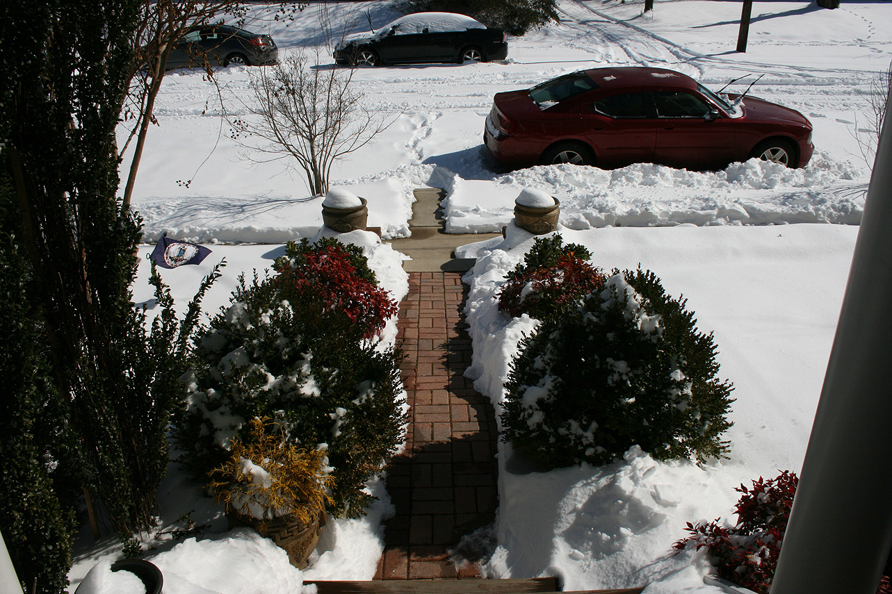
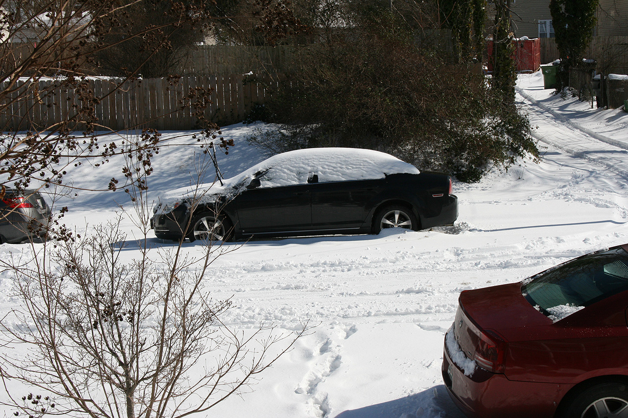
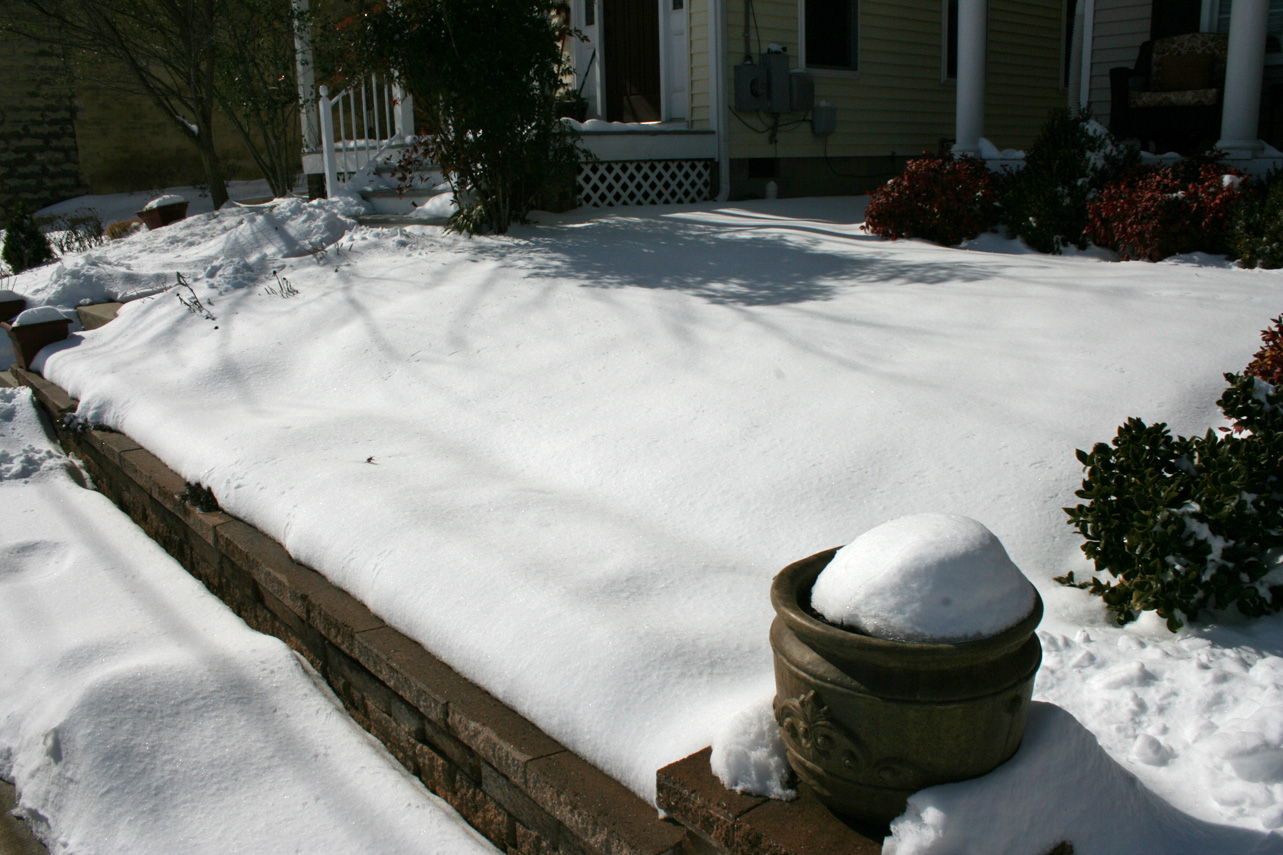
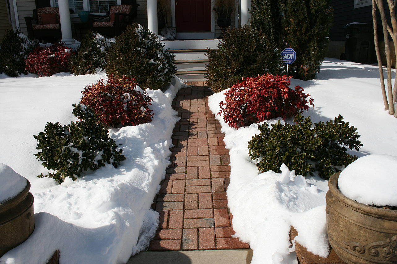
Photos:
Current & Historical Weather Events in Richmond, Virginia