Saw on the local news that next week (19th-22nd) looks very interesting. Could we have the coveted coastal storm setup brewing? We’ll be keeping an eye on the models and posting updates. Feel free to join in on the discussion.
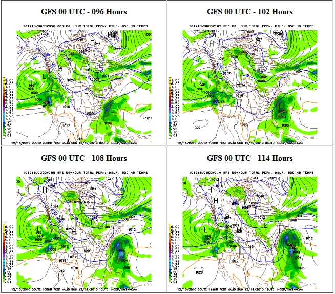
The 00GFS waffled again…now the storm slides OTS…

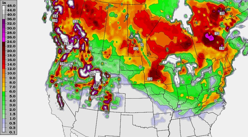
The image below is the 18z gfs and it shows us getting 9-10″ of snow total!
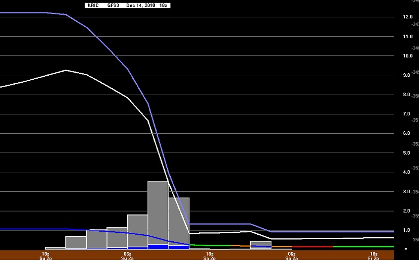
This graph of the 18z GFS data shows 9″ as well

12/21/2010 Update:
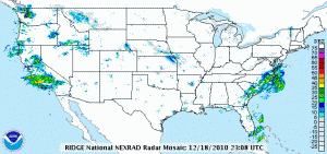
No measurable precipitation affected the Richmond metro area for this projected storm. Instead, the bulk of the moisture was confined to the southeast portion of the state. The sotrm system was wisked out to sea (OTS) without so much a flurry in downtown Richmond. Below is an image of the storm prior to it exiting the southeast coast:

