Event Updates:
As of 9:00 PM on 1/28, there is approximately 1″ of snow on all surfaces in Church Hill. Temperature continues to slowly fall and is hovering at 15.4 degrees Fahrenheit.
Church Hill Storm Observation Summary:
* Place – Time: Church Hill, (1/30/2014)
* Temperature: 12-20, During Event
* Dewpoint: 1-10, During Event
* Relative Humidity: N/A%
* Winter Weather Watch/Warning/Advisory: Advisory
* Road Conditions: All roads covered during event, primary roads cleared by the morning of 1/22. However, secondary roads were still partially snow covered for 2-3 days after event.
* Precipitation Description: Very small snowflakes. Event remained all snow. Snow was so light that it could be swept off of hard surfaces.
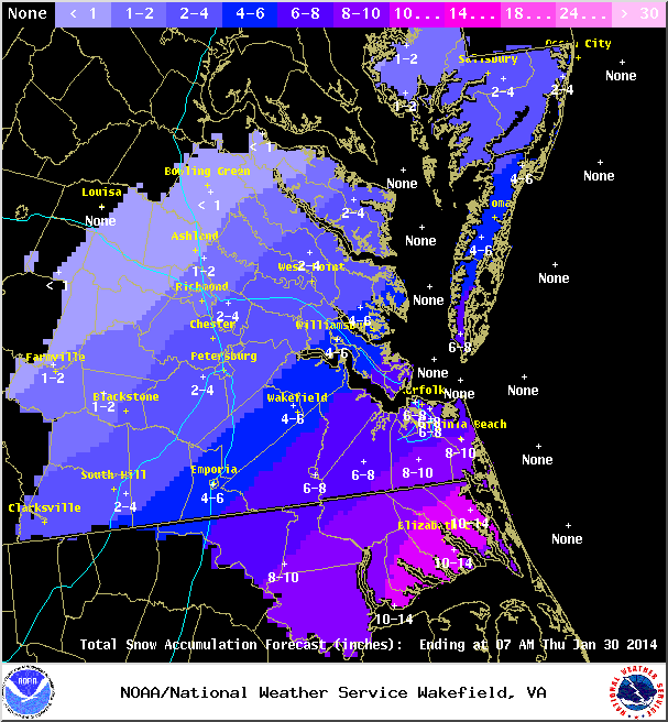
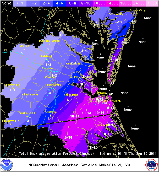
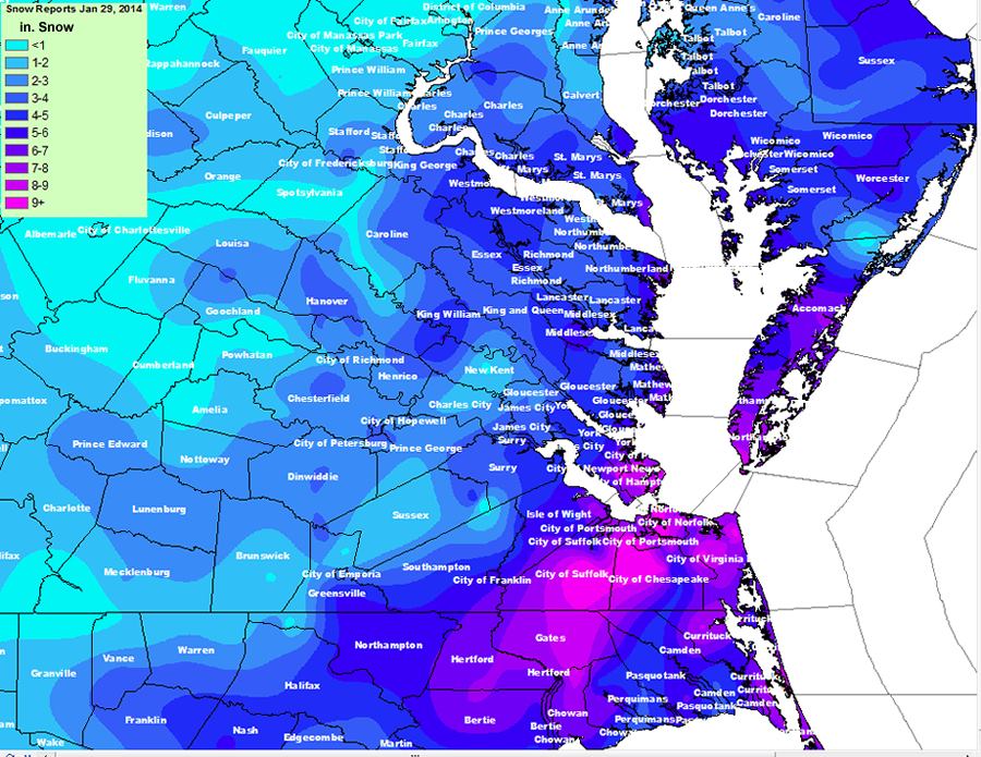
* Total Precipitation: 2 and 1/2” (2.5”) of snow. Liquid equivalent of 0.14” fell during the event, which equates to a snow ration of 1:17.9! 2″ to 3″ fell across metro area. 3.1 inches of snow was reported at the airport. Snowfall totals were heavier towards the Bay and Hampton Roads area (6-10” was common).
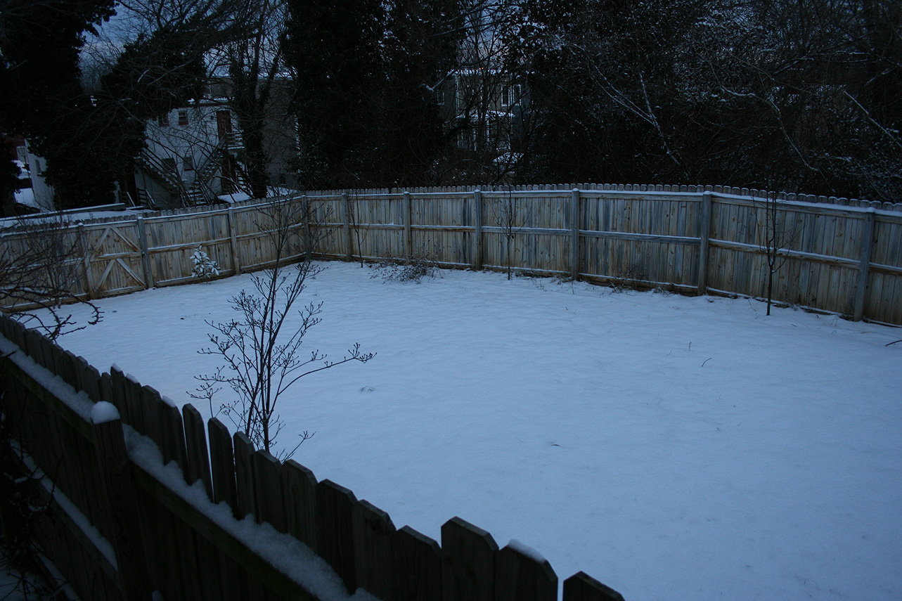
* Comments: The snow began around the metro area around 3:30-4 PM. Temperatures dropped during the day (due to the passage of an arctic front) and snowfall was light during the entire event. A low tracking off the NC coast spread precipitation into most of Virginia. Wind during the event, averaging 5 MPH or less, was light. Accumulations were present on most surfaces. Snow was measured in the backyard of the house. Snow continued until about 4 AM on January 29th where the temperature dropped to nearly 10 degrees. By far, one of the coldest snow events I’ve witnessed. There was a 1.5 hour delay for Chesterfield County Government Offices.
Snowfall Totals:
Videos:
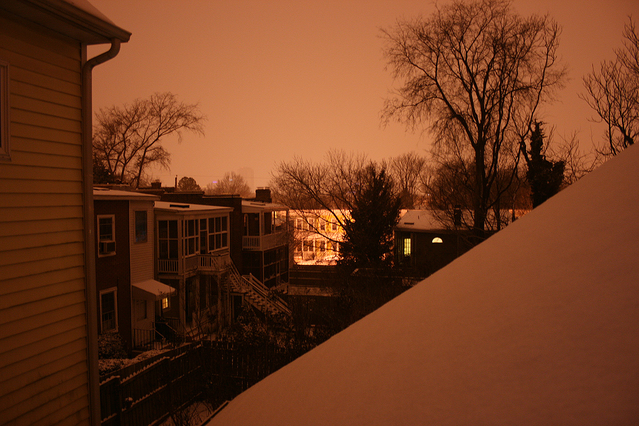
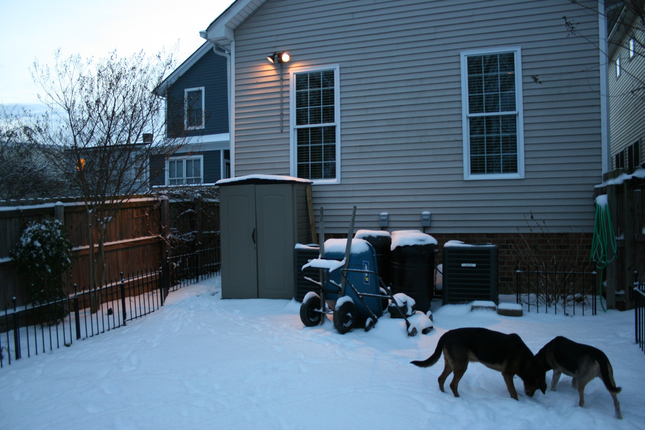
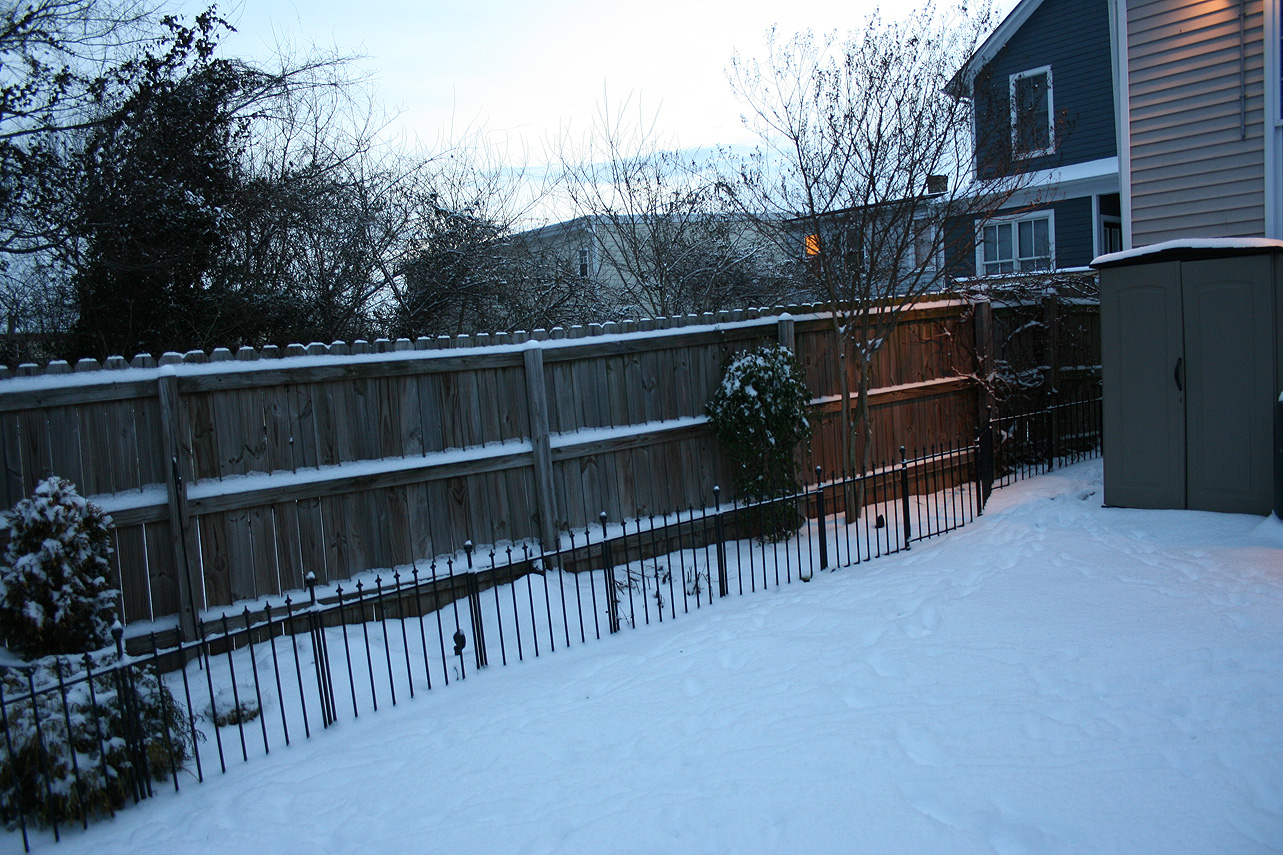
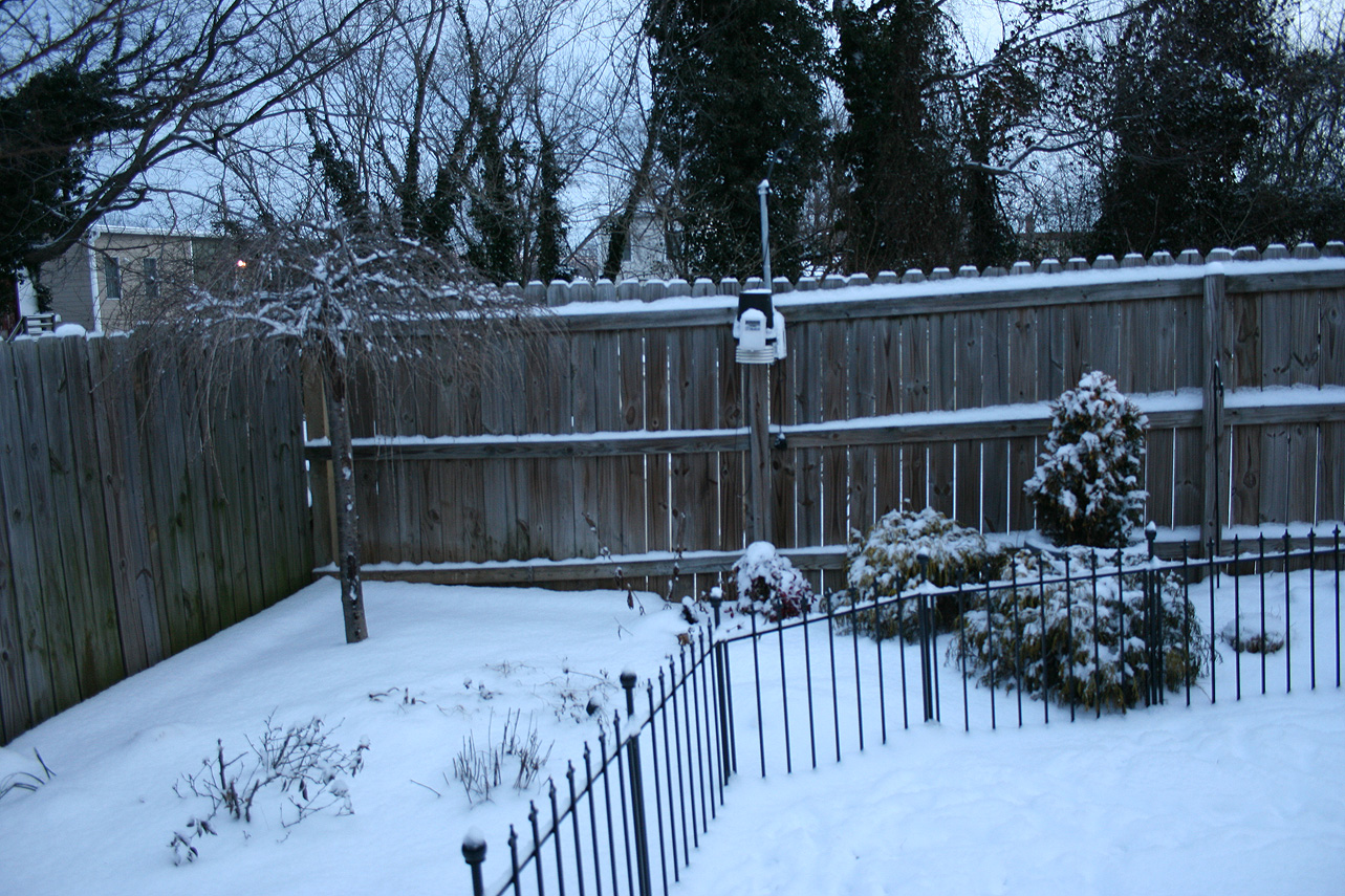
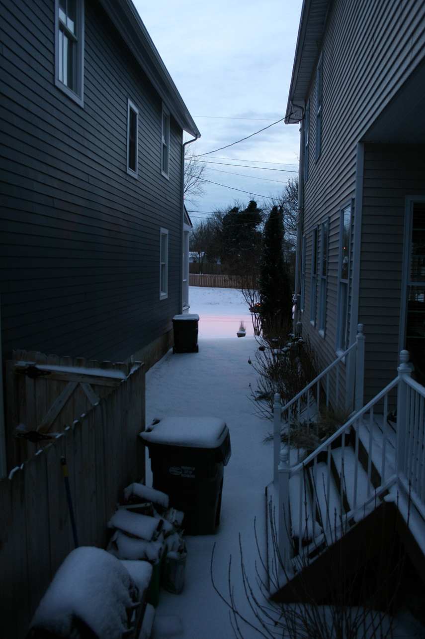
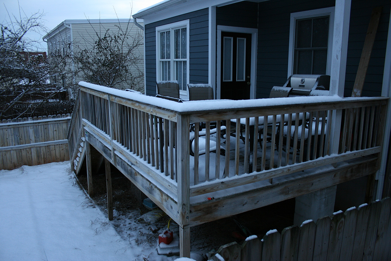
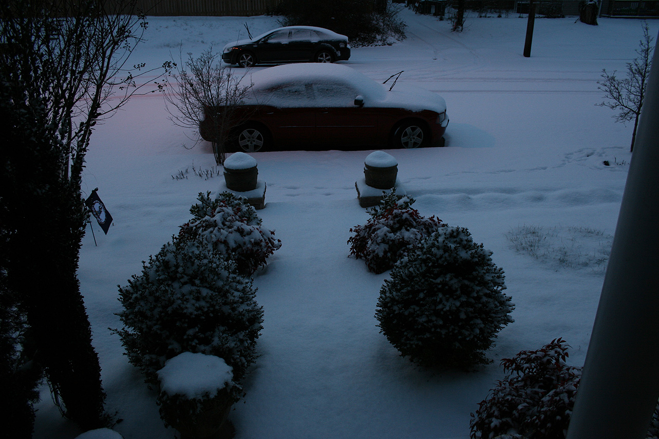
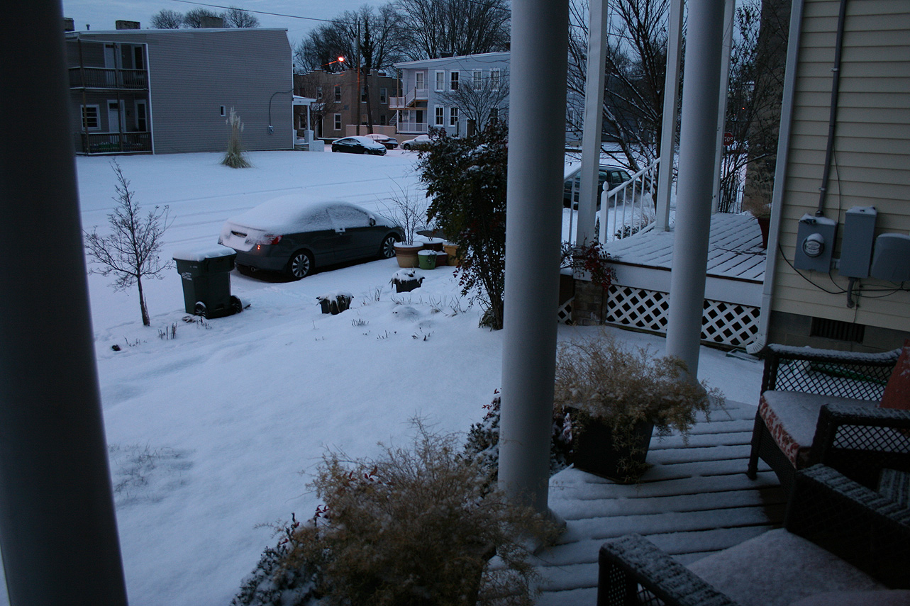
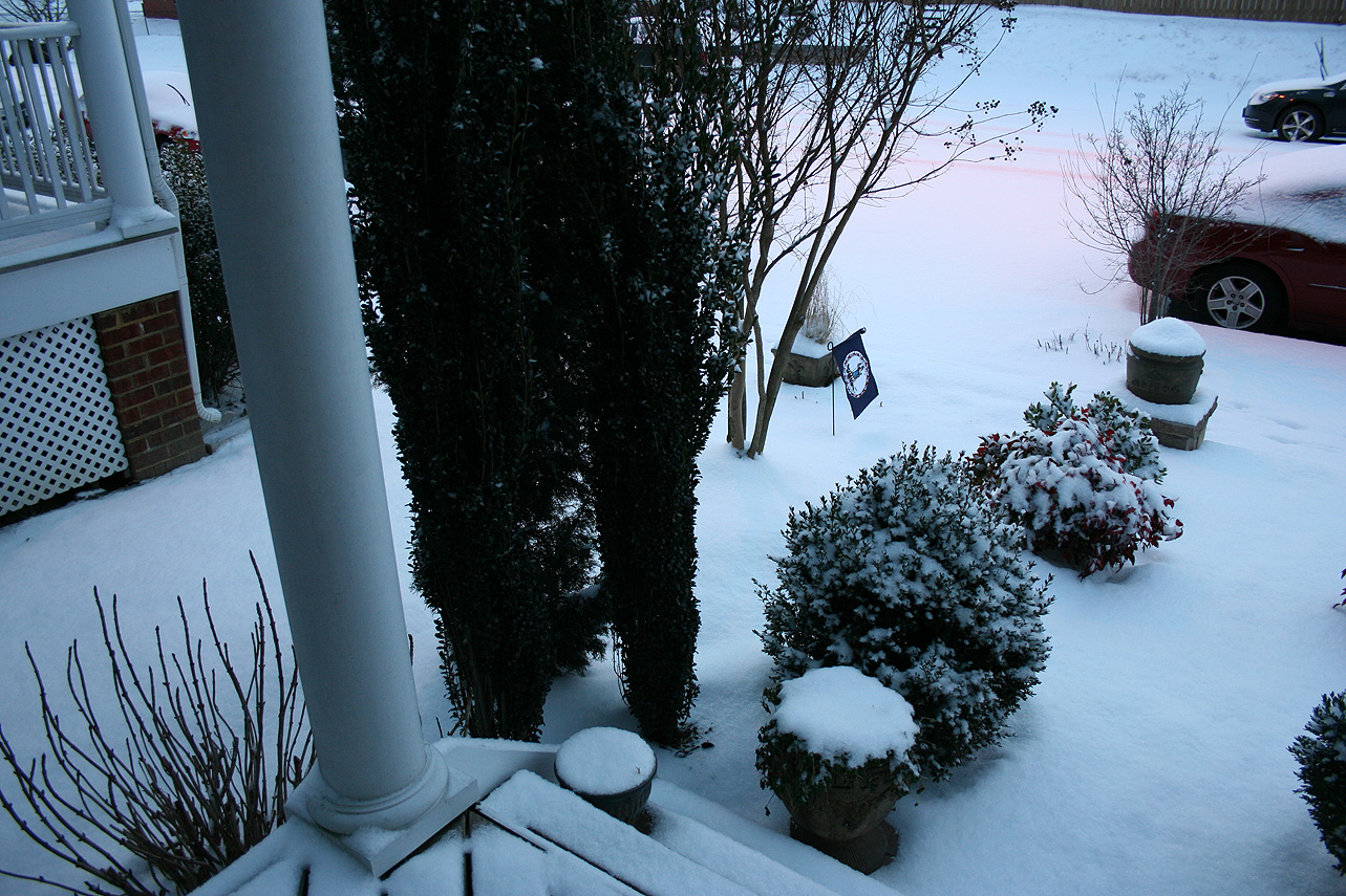
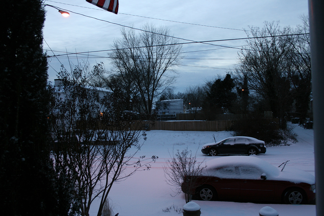
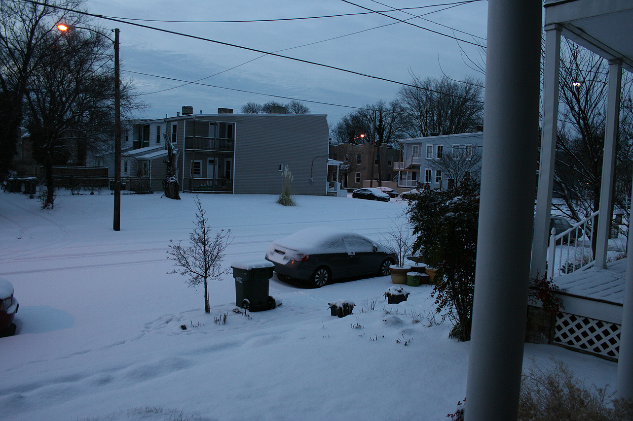
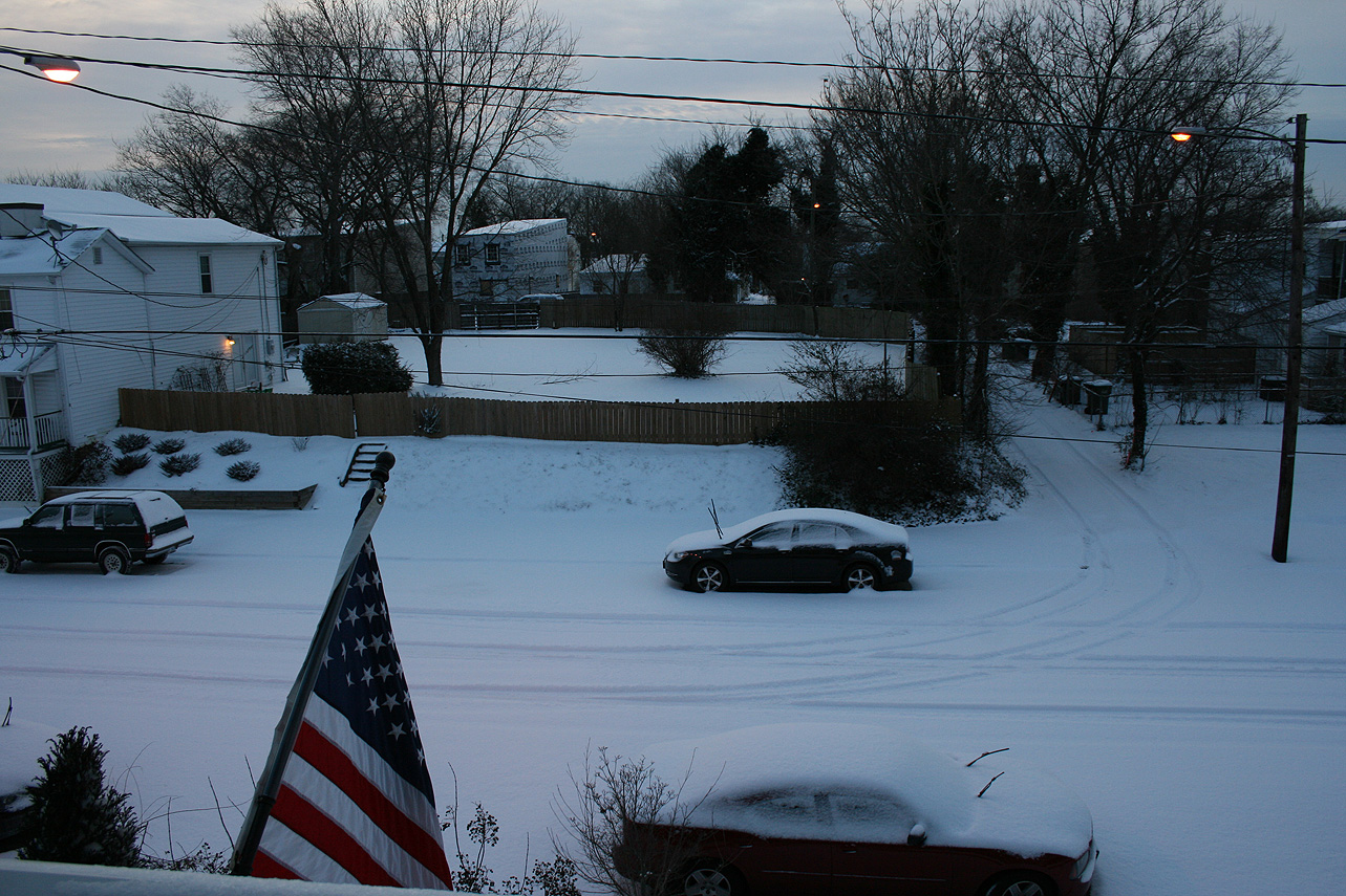
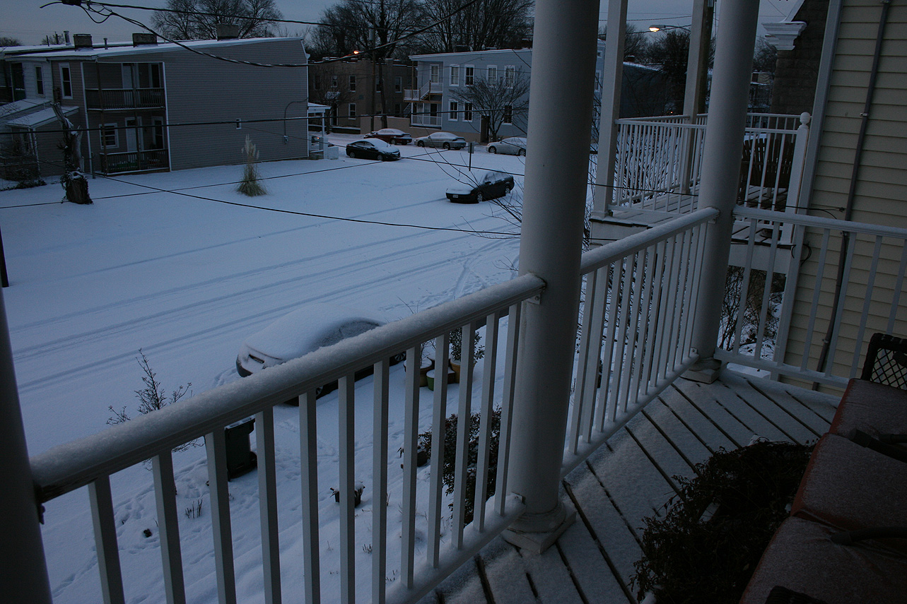
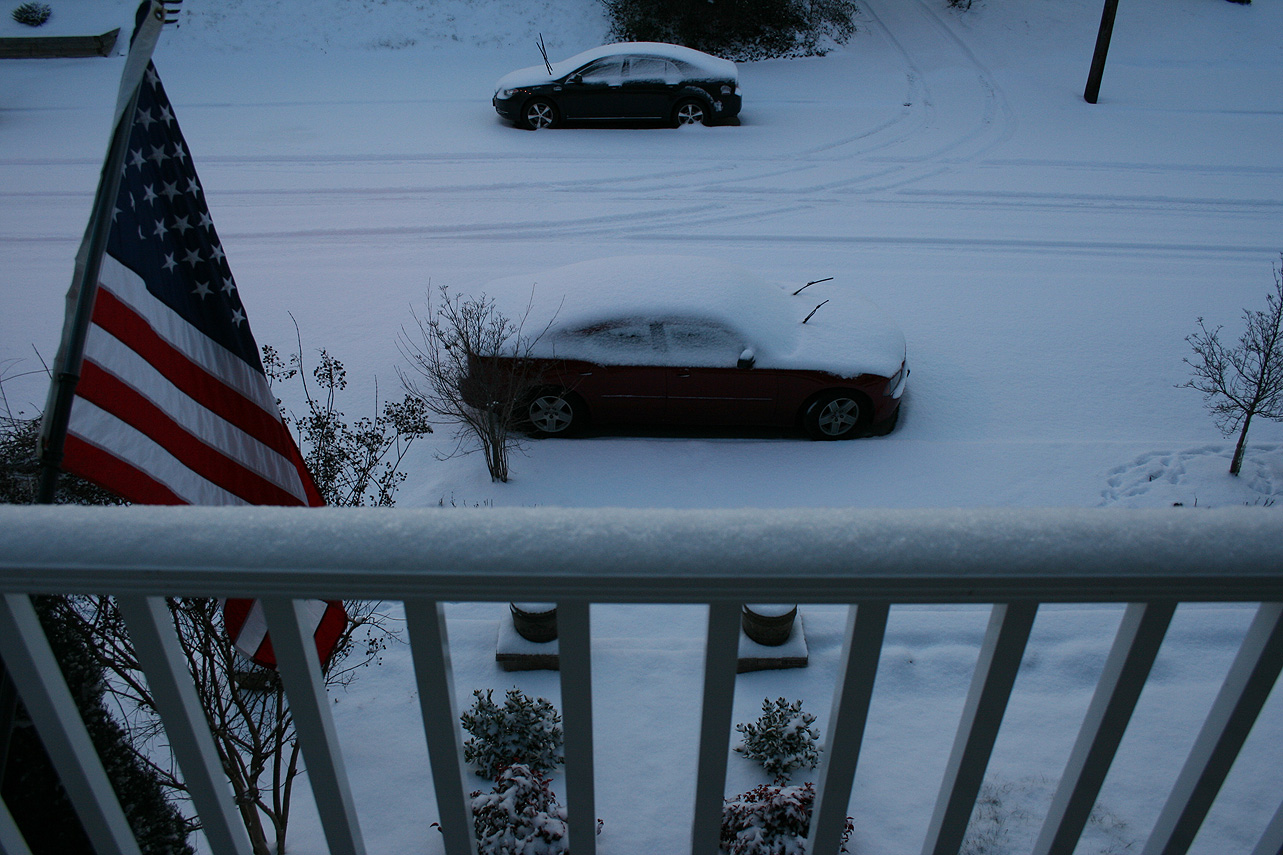
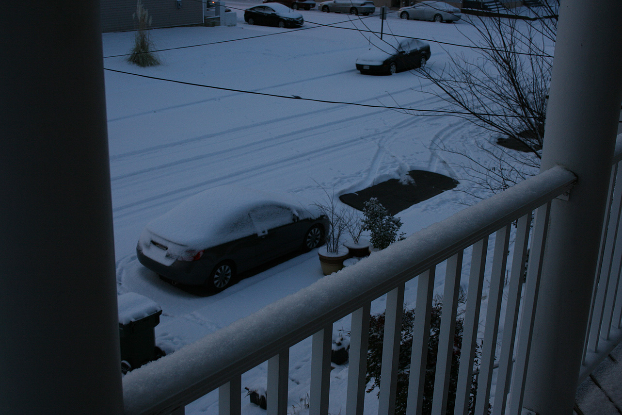
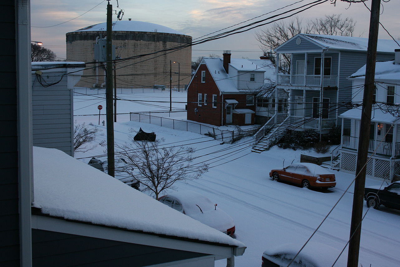
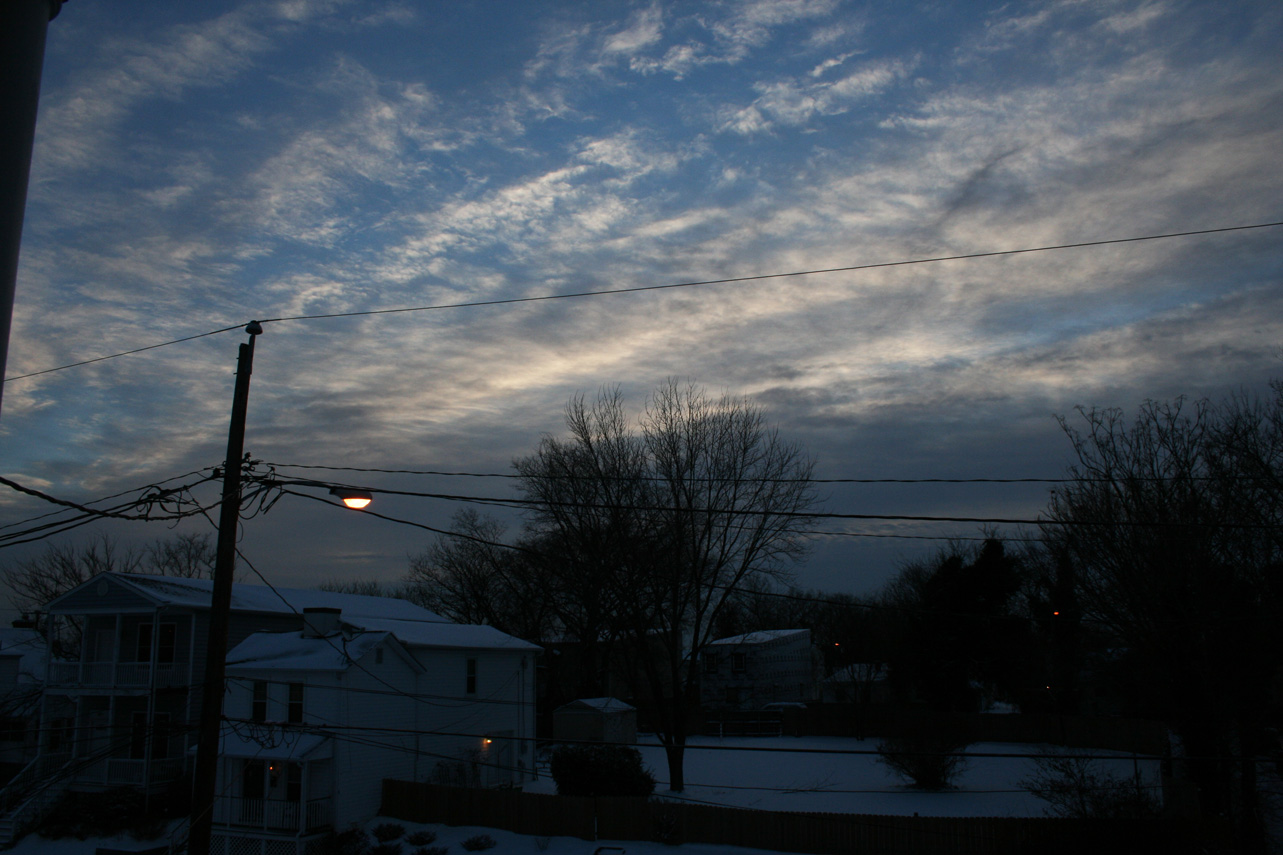
Photos: