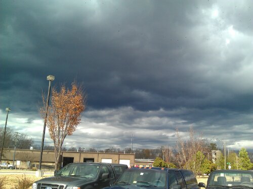
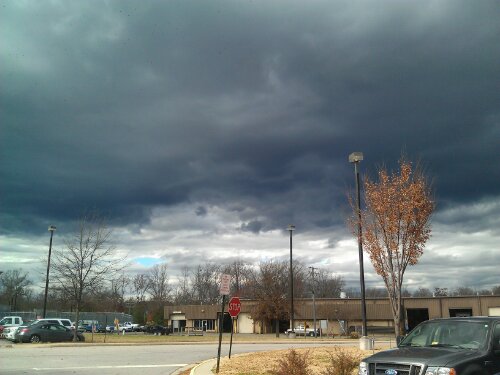
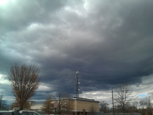
Some dark and scary Stratus clouds looming over Chesterfield. They are also ushering in a cold front that will drop temps and bring some gusty winds this evening.
Some dark and scary Stratus clouds looming over Chesterfield. They are also ushering in a cold front that will drop temps and bring some gusty winds this evening.
Today through Wednesday night should be cloudy with patchy drizzle. More significant rain will come Tuesday night and into Wednesday. A thunderstorm is possible on Wednesday as well with the passing of a cold front.
The cold front will bring more seasonal temps from Thursday through next week, with highs in the upper 50’s to mid 60’s and lows in the upper 30’s to mid 40’s.
The long range models are hinting at a chilly start to December. More to come on that later…
This am it got down to 26.1*. Good to see lows starting to dip into the mid 20’s. RIC reached 29*, the first sub-30* of the season.
http://WWW.wunderground.com/weatherstation/WXDailyHistory.asp?ID=KVACHEST23/

So far, November has been quiet on the wx front. It’s been a bit chiily with lows in the 30’s and a few days a showers.
Longer trends keep the cool air dominant in Central VA, with highs mainly in the 60’s and lows in the mid-upper 30’s.
Meteorological winter starts December 1st, and early forecasts shows normal temps and precip for Central VA and the Mid-Atlantic.
I’ll go ahead and make my guess for RVA’s first inch of snow…..January 3rd. My guess for Winter 11-12 snow total….16.5″ of the precious white stuff.
More updates as winter inches closer…Expect more posts about potential winter storms, winter storm obervations, and pictures, data, and other goodies. Bookmark this blog!