Church Hill Storm Observation Summary:
* Place – Time: Church Hill, (3/17/2014)
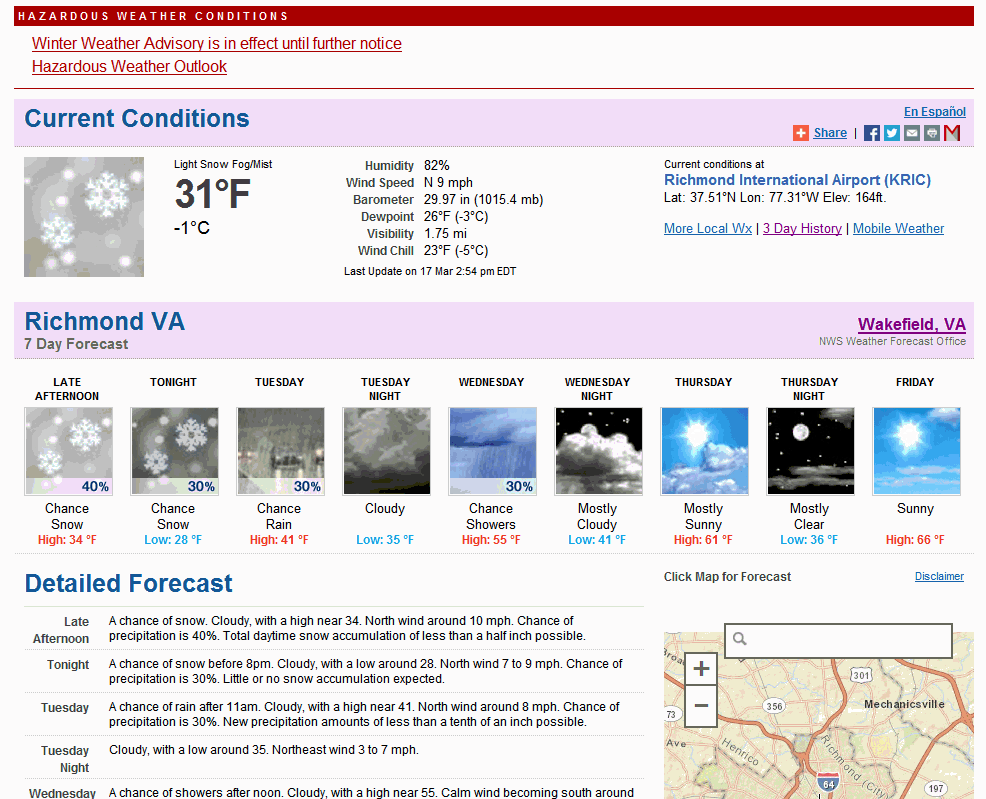
* Temperature: 29-35, During Event
* Winter Weather Watch/Warning/Advisory: Watch & Advisory
* Closings: None
* Predicted Totals: Ranged from 2-4” initialed, downgraded to less than 1” on Sunday night.
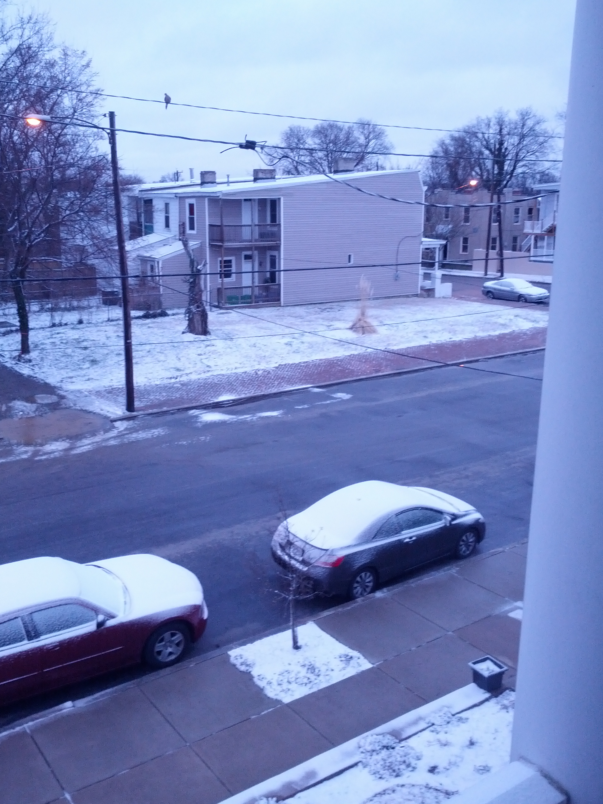
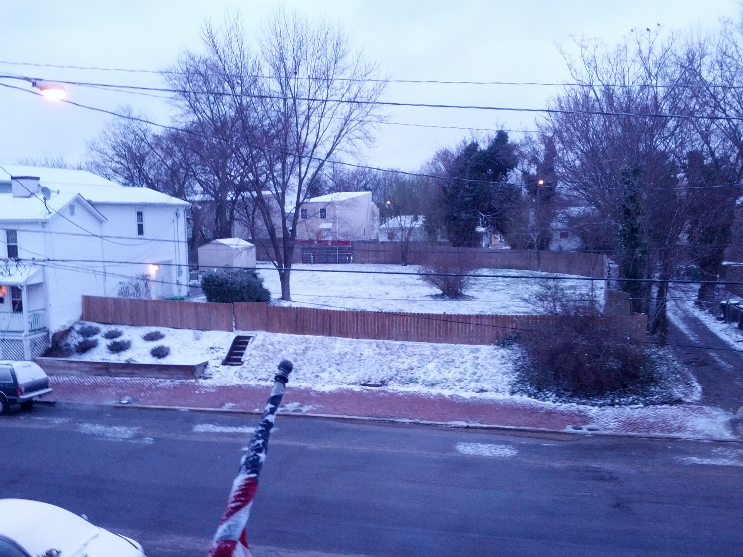
* Road Conditions: All roads were primarily wet during the event.
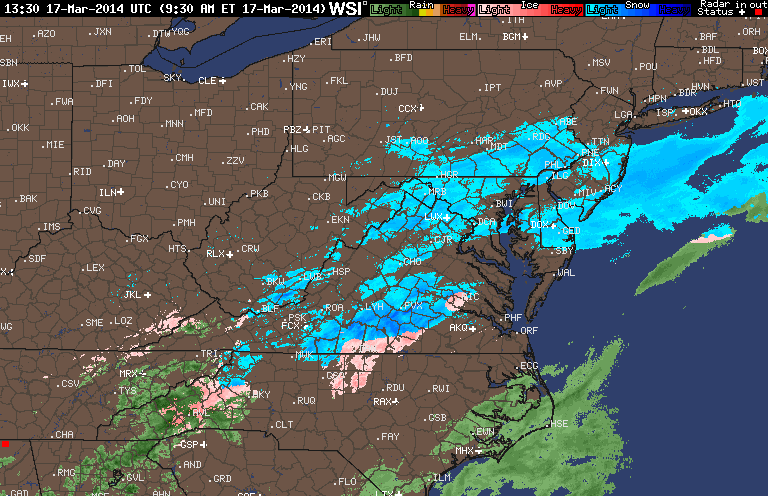
* Precipitation Description: A mix of rain to sleet, followed by freezing rain, sleet and snow during the overnight hours. Additional freezing rain and sleet fell during the morning hours of 3/17/2014.
* Total Precipitation: Approximately 0.5″ of snow, sleet and ice accumulation. Snow, sleet and freezing rain accumulated on elevated surfaces. 0.6″ was reported at Richmond airport.
* Comments: A low sliding through the Tennessee Valley towards the coast of Virginia delivered a late season winter storm event to the Richmond area. A cold air wedge developed on Sunday afternoon that slowly changed rain over to sleet during the late evening and overnight hours. Periods of sleet, snow, freezing rain and rain continued through the morning and early afternoon hours. Impacts from snow and ice to the Richmond area were minimal from this storm. However, areas to the north saw increased snow totals between 2-8” towards Fredericksburg & DC.
Snowfall Totals:
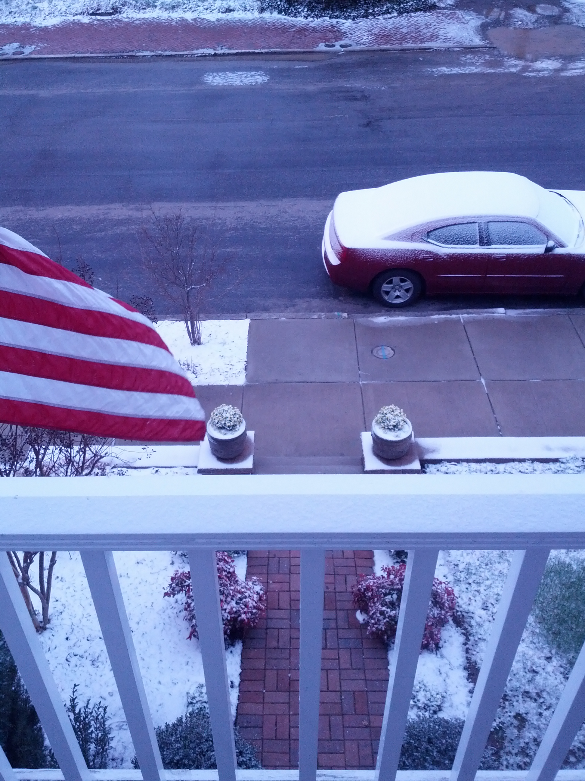
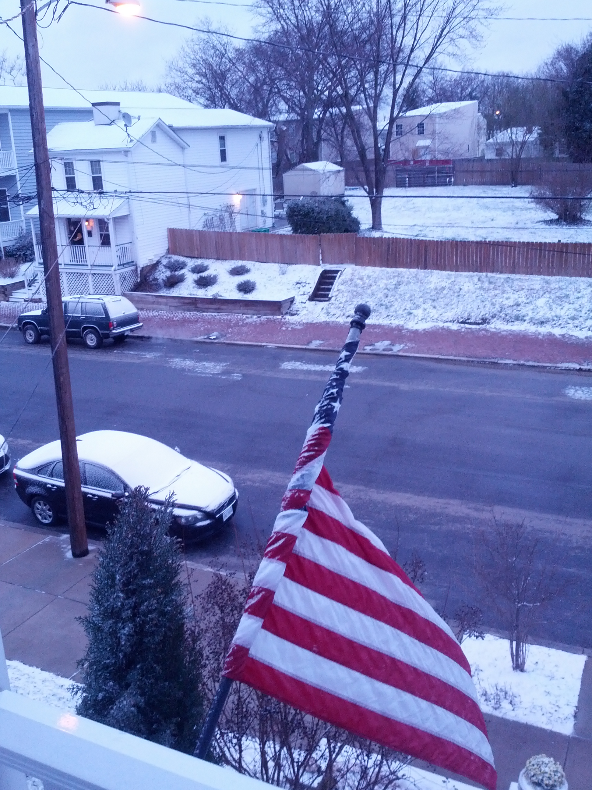
Photos:
NWS Forecast, Day of Event: