The day after Christmas, a complex and potentially potent storm system will develop over the southern United States and track to the northeast. The low will redevelop near Richmond and then track northeastward towards across the Delmarva peninsula. The forecast for this system seemed more promising about 8-10 days out with a higher chance of rain and snow for the Richmond metro area. Today, the weather models have shifted and focused the brunt of the winter weather to interior portions of the Ohio Valley, Mid-Atlantic and Northeast corridor (interior regions).
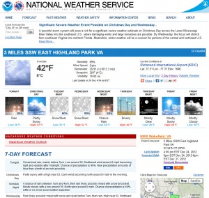
It’s worth mentioning this storm now since their is a small chance of Richmond’s having its first snowfall/sleet/freezing rain event of the season. The NWS has made mention of the snow/sleet potential for this storm system early Wednesday Morning.
As of today, we have not seen any wintry weather in Richmond. Here is to hoping that we can catch a few flakes or pellets from this system before it turns to rain (which could be as much as .75 – 1.5″ of rain).