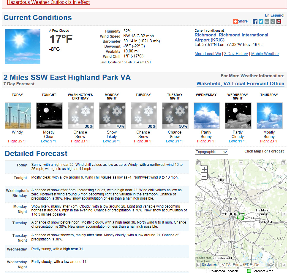
It appears that a potentially potent system will develop in the lower Midwest and slide east Monday, impacting Richmond from Monday night into Tuesday morning. As of Sunday morning, no watches or warnings are posted for the Wakefield area. Models are already depicting heavy snowfall totals for central Virginia, with 6″ or more of snow being depicted. TWC and Channel 12 are already saying that a 8-12″ storm could be possible. TWC has named the storm “Octavia”.
Update: Afternoon of 2/15/2015
Winter Storm Watch
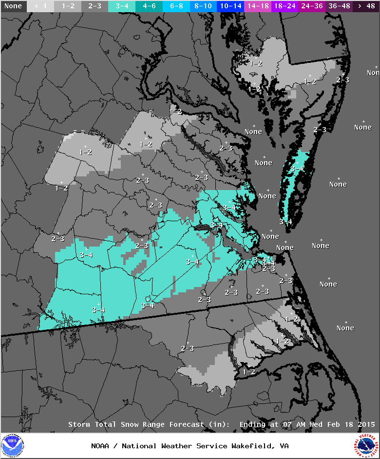
URGENT - WINTER WEATHER MESSAGE
NATIONAL WEATHER SERVICE WAKEFIELD VA
440 PM EST SUN FEB 15 2015

VAZ048-049-060>064-067>074-080>083-160545-
/O.NEW.KAKQ.WS.A.0002.150216T2100Z-150217T1700Z/
FLUVANNA-LOUISA-PRINCE EDWARD-CUMBERLAND-GOOCHLAND-HANOVER-
CAROLINE-NOTTOWAY-AMELIA-POWHATAN-CHESTERFIELD-HENRICO-
KING WILLIAM-KING AND QUEEN-ESSEX-DINWIDDIE-PRINCE GEORGE-
CHARLES CITY-NEW KENT-
INCLUDING THE CITIES OF...LOUISA...FARMVILLE...GOOCHLAND...
ASHLAND...CREWE...COLONIAL HEIGHTS...RICHMOND...TAPPAHANNOCK...
PETERSBURG...HOPEWELL
440 PM EST SUN FEB 15 2015

...WINTER STORM WATCH IN EFFECT FROM MONDAY AFTERNOON THROUGH
TUESDAY MORNING...

THE NATIONAL WEATHER SERVICE IN WAKEFIELD HAS ISSUED A WINTER
STORM WATCH...WHICH IS IN EFFECT FROM MONDAY AFTERNOON THROUGH
TUESDAY MORNING.

* AREAS AFFECTED: CENTRAL AND EASTERN VIRGINIA.

* HAZARDS: HEAVY SNOW.

* ACCUMULATION: SNOW ACCUMULATION IS EXPECTED TO RANGE FROM 6 TO 8
  INCHES. HIGHER AMOUNTS ARE POSSIBLE OVER THE PIEDMONT.

* TEMPERATURES: UPPER TEENS TO LOW 20S.

* TIMING: SNOW IS EXPECTED TO SPREAD INTO THE EASTERN VIRGINIA
  PIEDMONT LATE MONDAY AFTERNOON AND INTO THE INTERSTATE 95
  CORRIDOR BY EARLY MONDAY EVENING. SNOW WILL CONTINUE MONDAY
  NIGHT AND TAPER OFF TUESDAY MORNING.

* IMPACTS: SNOW WILL REDUCE VISIBILITY AND RESULT IN
  HAZARDOUS...SNOW COVERED ROADS. EVEN PRIMARY ROADS AND HIGHWAYS
  WILL LIKELY BECOME SNOW COVERED DUE TO THE COLD TEMPERATURES.

PRECAUTIONARY/PREPAREDNESS ACTIONS...

A WINTER STORM WATCH MEANS THERE IS A POTENTIAL FOR SIGNIFICANT
SNOW...SLEET...OR ICE ACCUMULATIONS THAT MAY IMPACT TRAVEL.
CONTINUE TO MONITOR THE LATEST FORECASTS.

&&

$$