* Place – Time: Chesterfield Government Complex, 3:00 PM (11/12/2013)
* Temperature: 40-41, During Event
* Dewpoint: 29-30, During Event
* Relative Humidity: N/A%
* Pressure: N/A
* Trends: N/A
*Winter Weather Watch/Warning/Advisory: N/A
* Road Conditions: All roads remained passable, no accumulation.
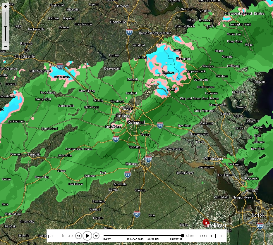
* Precipitation Description: Light rain and snow showers persisted on and off during the afternoon hours.
* Total Precipitation: Trace of snow. Liquid equivalent of 0.0” fell during the event.
* Comments: A rain/snow mix started shortly after 1:15 PM. The snow persisted for about 20 minutes. Precipitation ended around 2 PM. No accumulation of snow was observed due to high air and ground temperatures. This was the first snow event of the 2013-2014 winter season.

