Deprecated: Optional parameter $selected declared before required parameter $args is implicitly treated as a required parameter in /home/richmon/domains/richmondcitywatch.com/public_html/rvawx_test/wp-content/plugins/archives-calendar-widget/arw-settings.php on line 178
Deprecated: Optional parameter $view declared before required parameter $args is implicitly treated as a required parameter in /home/richmon/domains/richmondcitywatch.com/public_html/rvawx_test/wp-content/plugins/archives-calendar-widget/arw-widget.php on line 480
Deprecated: Optional parameter $archiveMonth declared before required parameter $args is implicitly treated as a required parameter in /home/richmon/domains/richmondcitywatch.com/public_html/rvawx_test/wp-content/plugins/archives-calendar-widget/arw-widget.php on line 480
Warning: Trying to access array offset on value of type bool in /home/richmon/domains/richmondcitywatch.com/public_html/rvawx_test/wp-content/plugins/archives-calendar-widget/archives-calendar.php on line 64 mixed bag | RVAWX.com | Page 2
.SHORT TERM /6 PM THIS EVENING THROUGH SUNDAY/…
THE NEXT IN THE SERIES OF SHORTWAVES ALOFT APPROACHES FM THE WSW TNGT…THEN TRACKS ACRS THE FA ON SAT. MDL TRENDS CONT TO SUGGEST
THAT THERE WILL BE A HI PROB FOR PCPN…BEGINNING LT TNGT W…AND ACRS MUCH OF THE FA ON SAT. WKSFC LO PRES ONCE AGN PASSES BY WELL
S OF THE RGN ON SAT…WHILE SHEARED OUT S/W ALOFT CROSSES THE
NRN/CNTRL PORTION OF THE FA. WILL CONT W/ IDEA OF POPSFMHICHC
TO LIKELY…W/ HIGHEST QPFACRS SE VA/NE NC. P-TYPE WILL BE
CHALLENGING…AS BOUNDARY LAYER WILL BE NR/ABV 32F EXCEPT OVER
THE INTERIOR (EARLY) IN THE AM HRS. WILL HAVE MNLYRA FOR SE VA/NE NC…W/ MIXED P-TYPE IN A NARROW RIBBON (FM ENE TO WSW) IN BETWEEN
THAT RA…AND A PD OF SN ACRS NRN SECTIONS OF THE FA. PCPN
COVERAGE XPCD TO DECREASE DURGSATAFTN/EVE. SN ACCUMSATTM (MNLY ALG-NW OF A FVX TO SBY LN) LIMITED TO AN INCH OR LESS. OTRW…MNLY
CLDY FOR THE DAY…HI TEMPS FM THE U30S ACRS THE N…TO THE M40S
S.
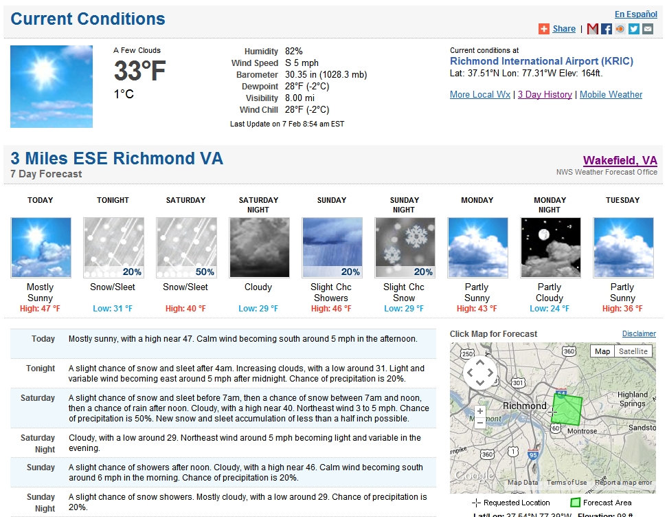
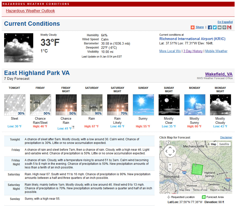
A brief and light wintry event may occur early tomorrow morning in Central Virginia. According to the NWS, it appears to be a minor event:
MDZ021-022-VAZ070>076-079>083-102115-
DORCHESTER-WICOMICO-CHESTERFIELD-HENRICO-KING WILLIAM-KING AND QUEEN-
ESSEX-WESTMORELAND-RICHMOND-BRUNSWICK-DINWIDDIE-PRINCE GEORGE-
CHARLES CITY-NEW KENT-
415 PM EST THU JAN 9 2014

THIS HAZARDOUS WEATHER OUTLOOK IS FOR THE LOWER EASTERN SHORE OF
MARYLAND...CENTRAL VIRGINIA...EAST CENTRAL VIRGINIA...SOUTH CENTRAL
VIRGINIA...THE MIDDLE PENINSULA OF VIRGINIA AND THE NORTHERN NECK
OF VIRGINIA.

.DAY ONE...TONIGHT.

THERE IS A POTENTIAL FOR A BRIEF PERIOD OF LIGHT SLEET LATE
TONIGHT INTO EARLY FRIDAY MORNING. LITTLE TO NO ACCUMULATION IS
EXPECTED.
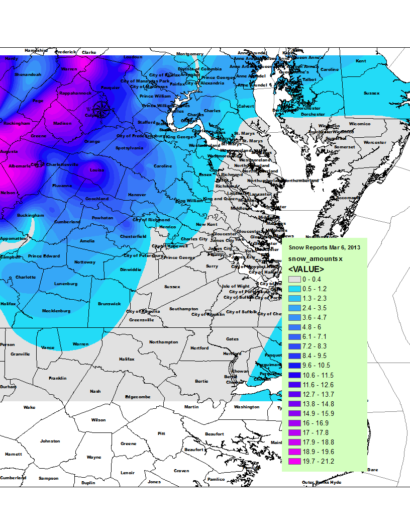
* Place – Time: Church Hill, 11:00 AM (3/7/2013) *After the Event Update*
* Temperature: 33-37, During Storm Event
* Dewpoint: 33-36, During Storm Event
* Relative Humidity: 100%
* Pressure: N/A
* Trends: N/A
*Winter Weather Watch/Warning/Advisory: Advisory
* Road Conditions: All roads had snow cover during the event. The morning after the event, secondary roads remained mostly clear in the city and south and eastern portions of the metro area. All major roads passable.
* Precipitation Description: Light, moderate and sometimes brief periods of heavy snow fell throughout the event.
* Total Precipitation: 1.5″ of snow (unconfirmed due to wet snow ratios and quick melting by the time I got home (1 PM), will use airport’s measurement in lieu of any actual measurements in Church Hill). Liquid Equivalent of 2.25″ fell during the event at my house. Liquid Equivalent of 2.1″ fell during the event at the airport.
* Comments: A rain/snow mix started shortly after 8 AM. The precipitation fell as a moderate rain/snow mix through most of my commute to work. By the time I reached the Courthouse area of Chesterfield, snow was quickly accumulating on all surfaces, even the roadways. Snow was wet and heavy, flakes were incredibly large as well. Reports of thunder snow were reported throughout the metro area in the morning. Snow remained heavy until 9:30 AM and became moderate to light in intensity for the rest of the morning. Snow and rain/snow mix occurred throughout the rest of the morning and afternoon hours. Accumulation of snow essentially stopped around 10 AM as temperatures climbed to 37 and snow began melting. Precipitation was spurred by an upper level low that transferred to a surface low on the Virginia/NC border. The NWS was forecasting little in the way of snow for the metro area and scrambled early in the morning with Winter Storm Warnings and Advisories for the region. Areas in western Chesterfield and Henrico saw upwards of 5” of snow from the event. Areas east and south of town saw much less. The airport reported 1.5” of snow.
Not much to report on this event, but there was a brief period of sleet and freezing rain on the morning of February 22nd:
Church Hill/Drive to Saint Francis in Chesterfield County: Very minor accumulations on raised surfaces. Mixed precipitation began around 7 AM and quickly changed over to rain by 8:45 AM.
Current & Historical Weather Events in Richmond, Virginia