Deprecated: Optional parameter $selected declared before required parameter $args is implicitly treated as a required parameter in /home/richmon/domains/richmondcitywatch.com/public_html/rvawx_test/wp-content/plugins/archives-calendar-widget/arw-settings.php on line 178
Deprecated: Optional parameter $view declared before required parameter $args is implicitly treated as a required parameter in /home/richmon/domains/richmondcitywatch.com/public_html/rvawx_test/wp-content/plugins/archives-calendar-widget/arw-widget.php on line 480
Deprecated: Optional parameter $archiveMonth declared before required parameter $args is implicitly treated as a required parameter in /home/richmon/domains/richmondcitywatch.com/public_html/rvawx_test/wp-content/plugins/archives-calendar-widget/arw-widget.php on line 480
Warning: Trying to access array offset on value of type bool in /home/richmon/domains/richmondcitywatch.com/public_html/rvawx_test/wp-content/plugins/archives-calendar-widget/archives-calendar.php on line 64 January | 2016 | RVAWX.com
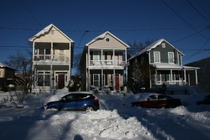
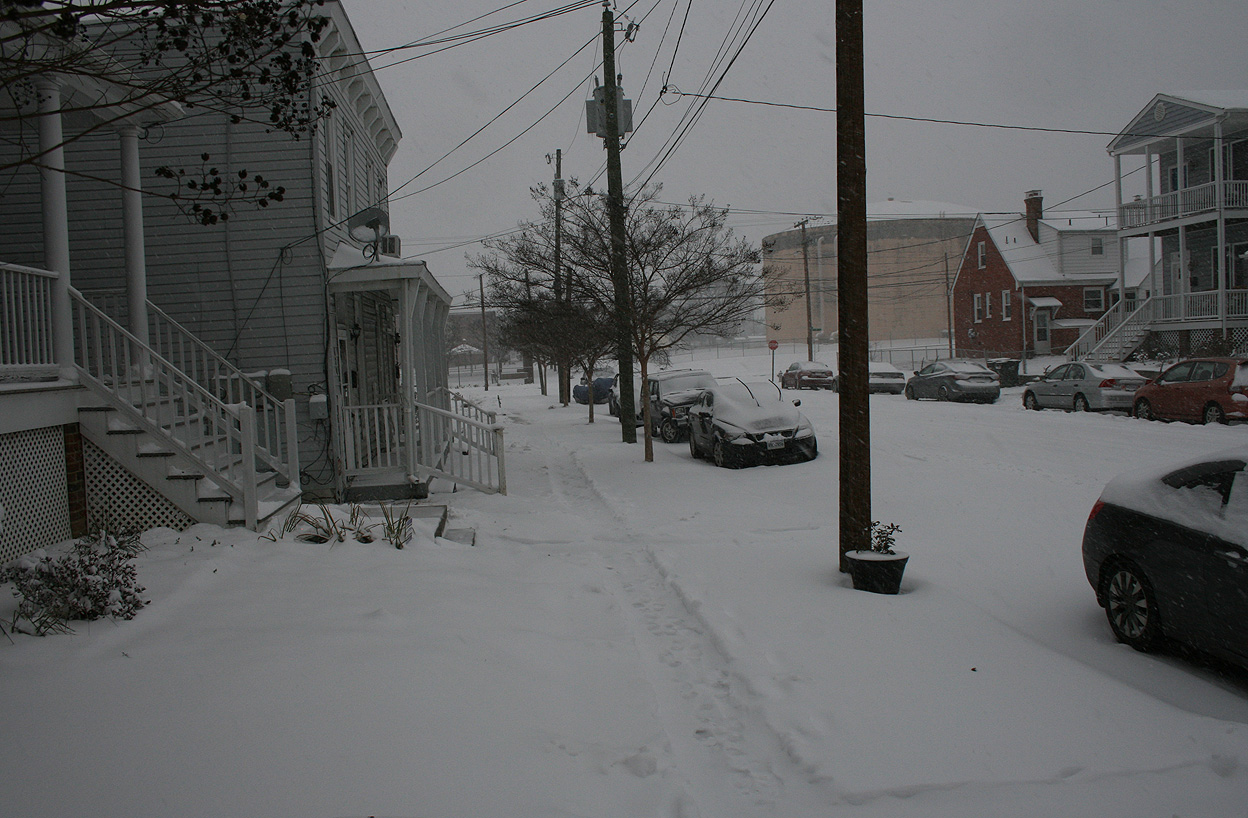
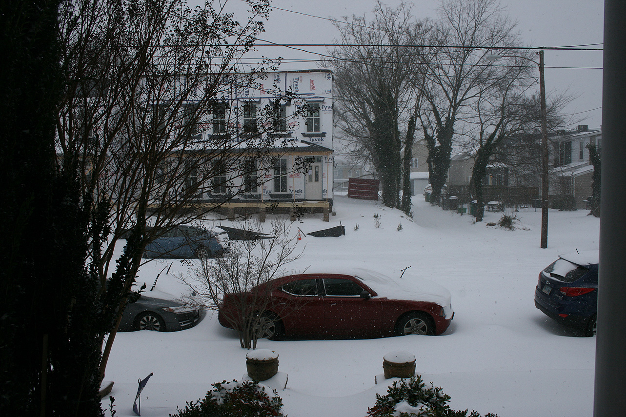
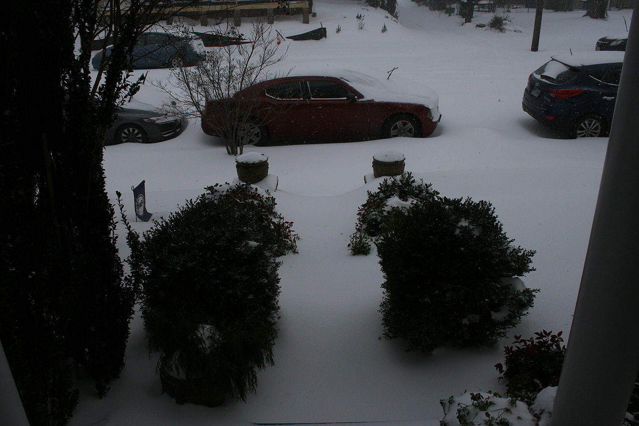
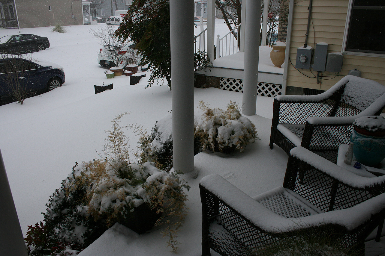
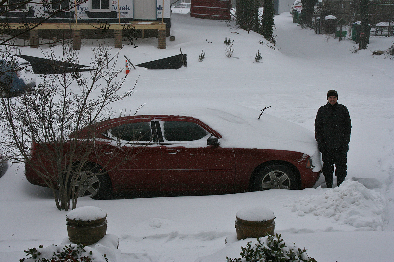
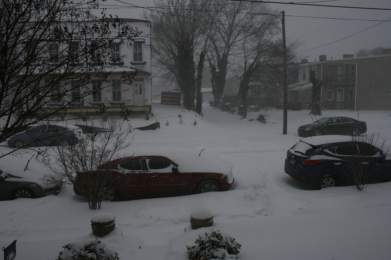
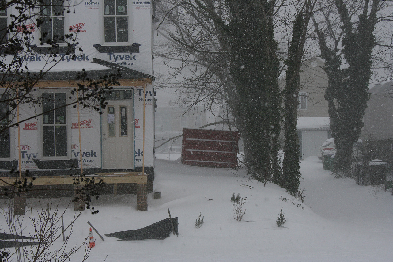
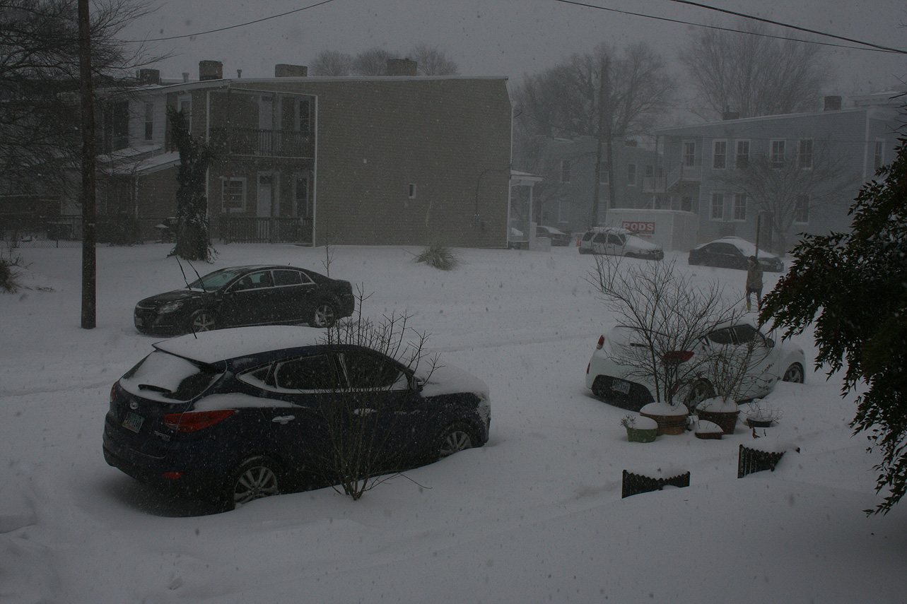
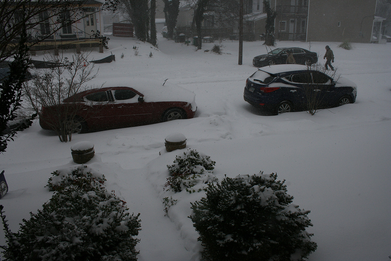
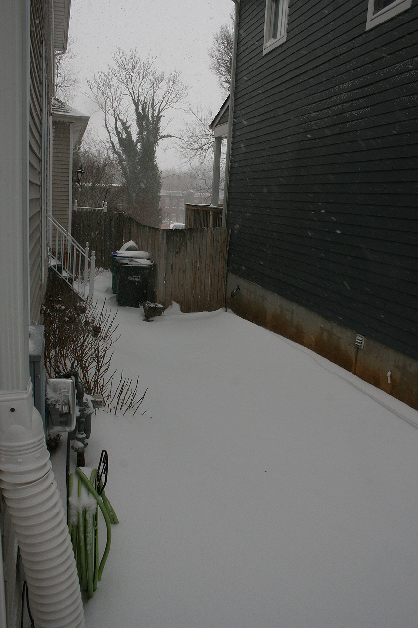
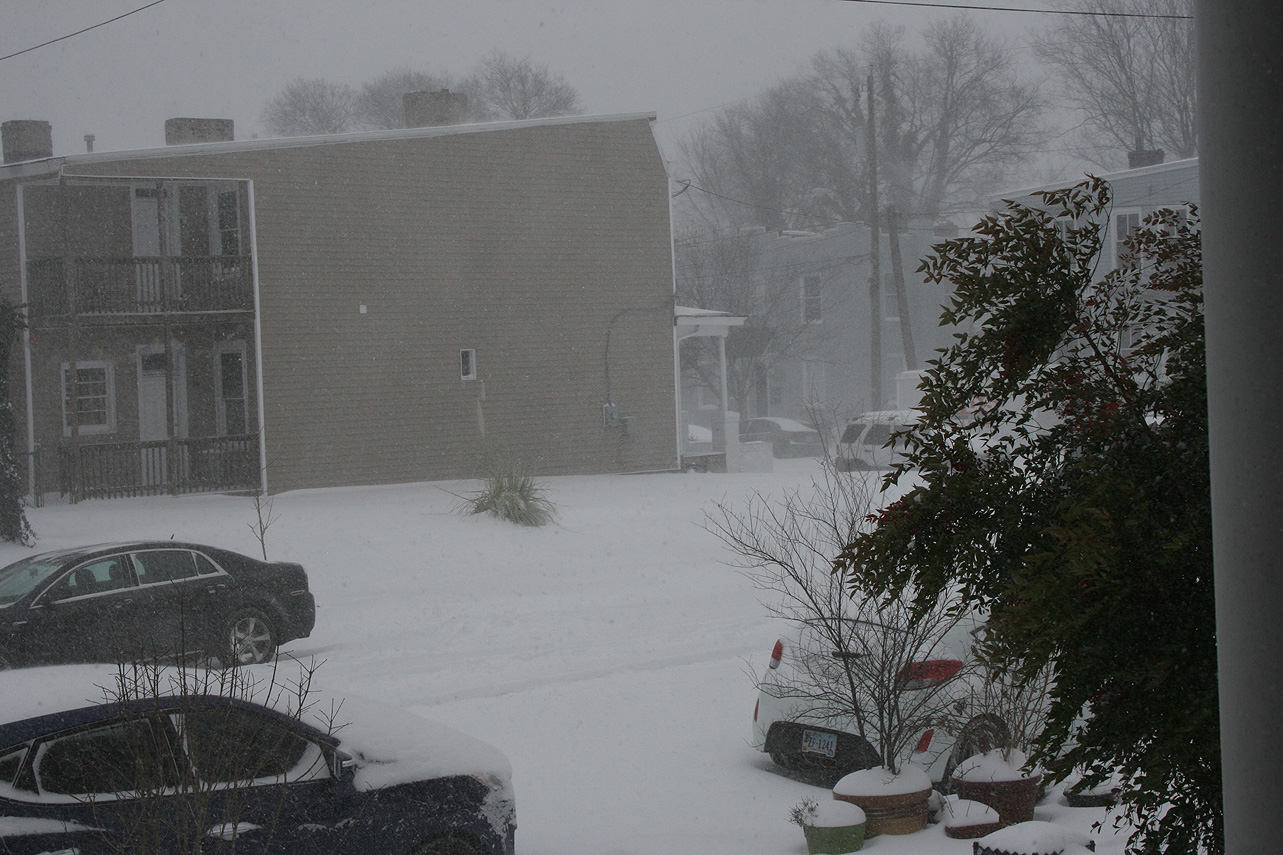
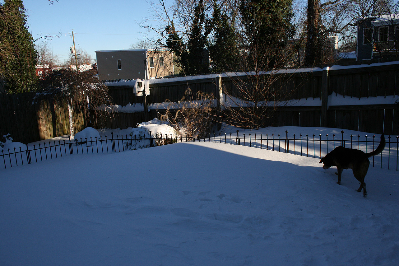
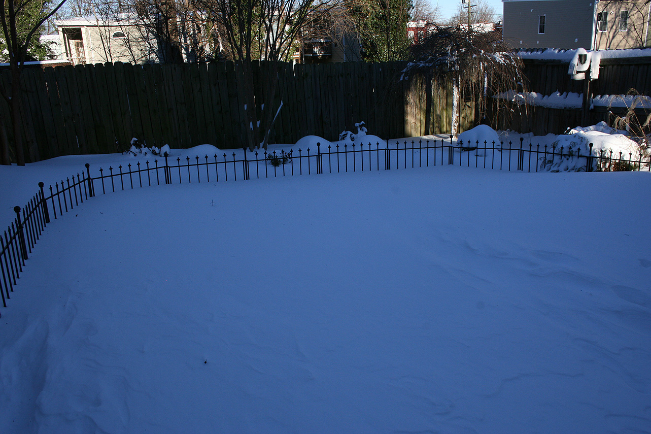
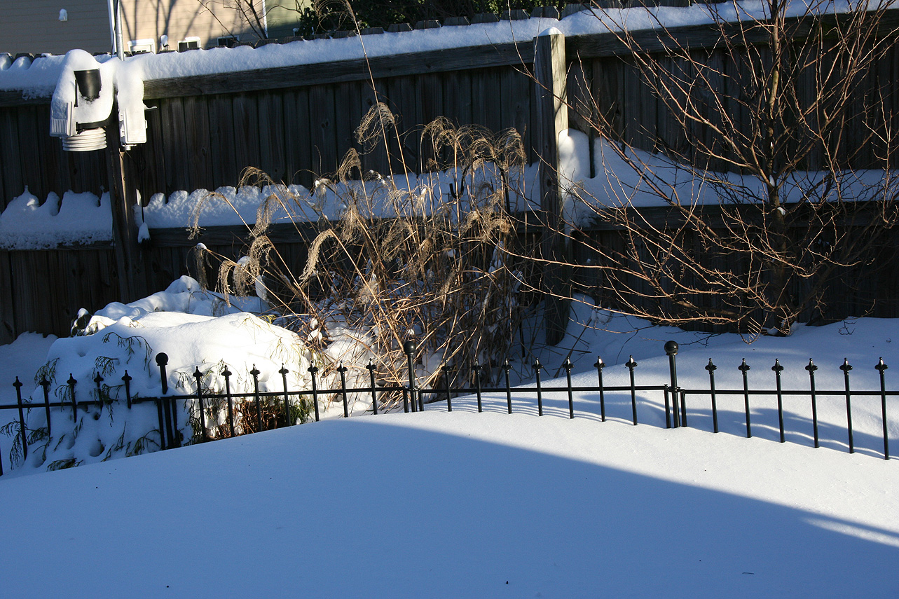
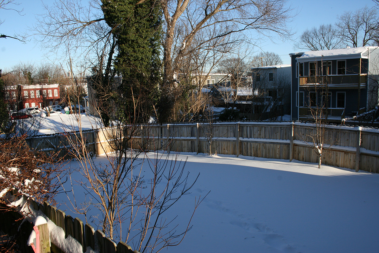
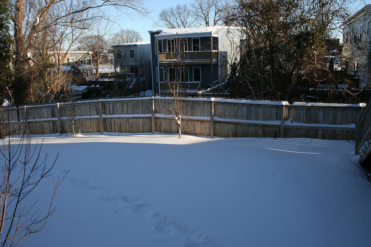
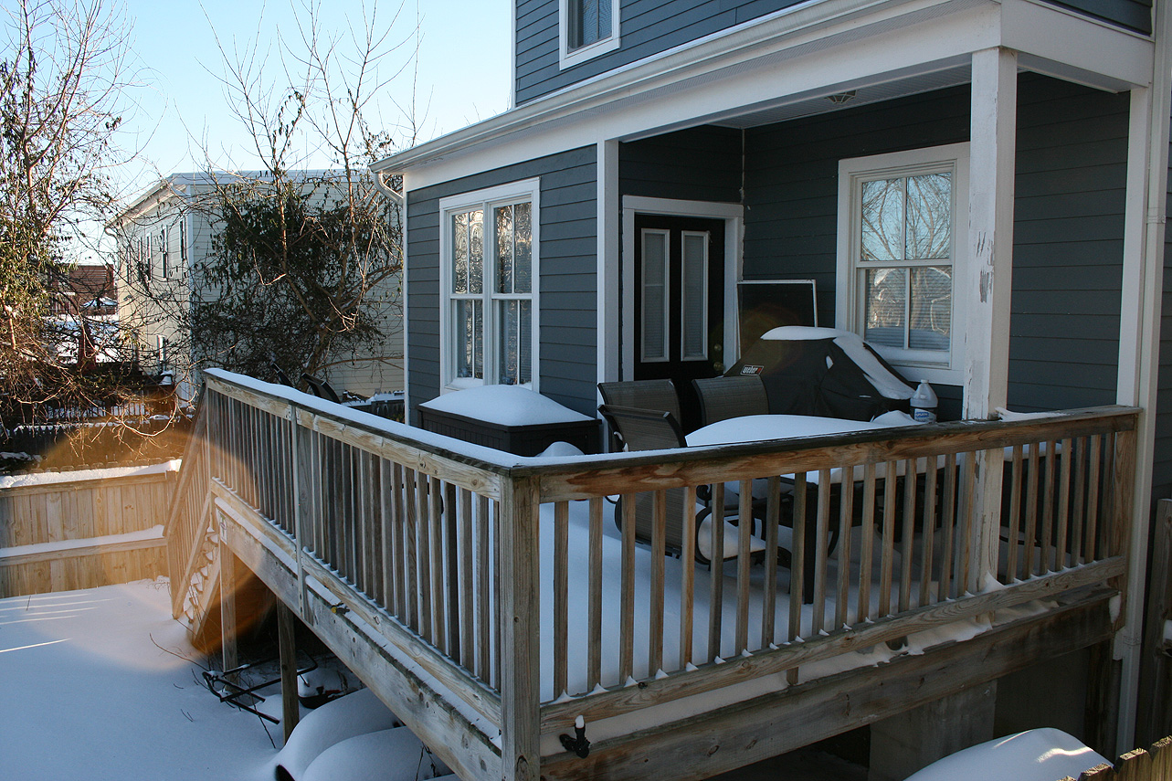
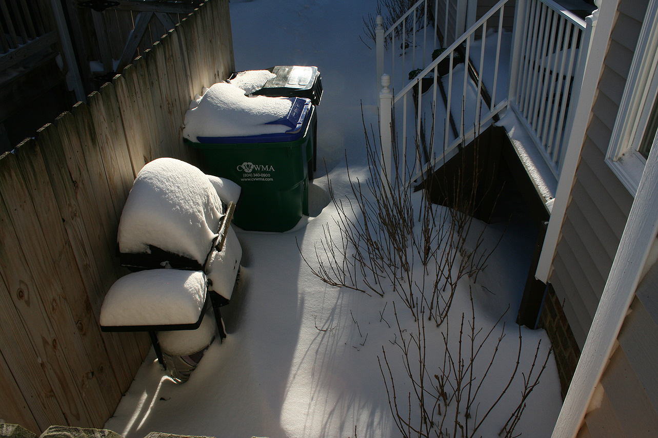
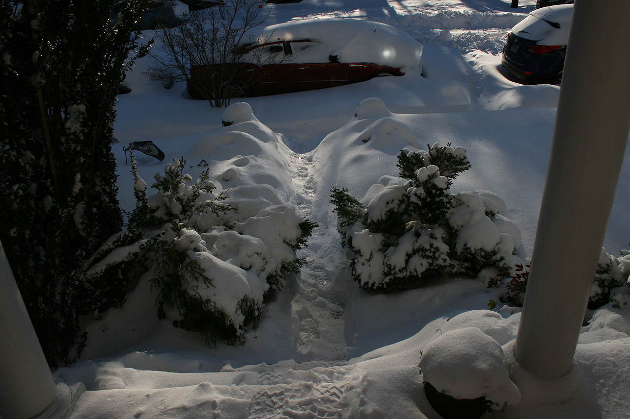
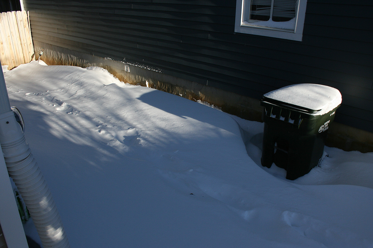
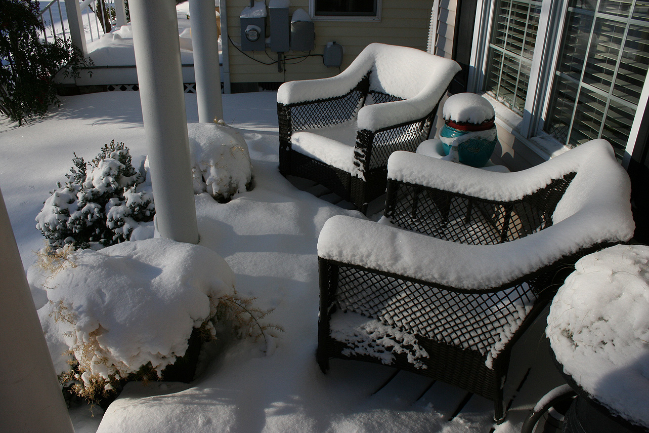
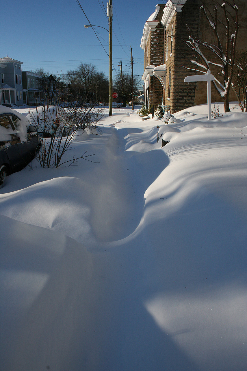
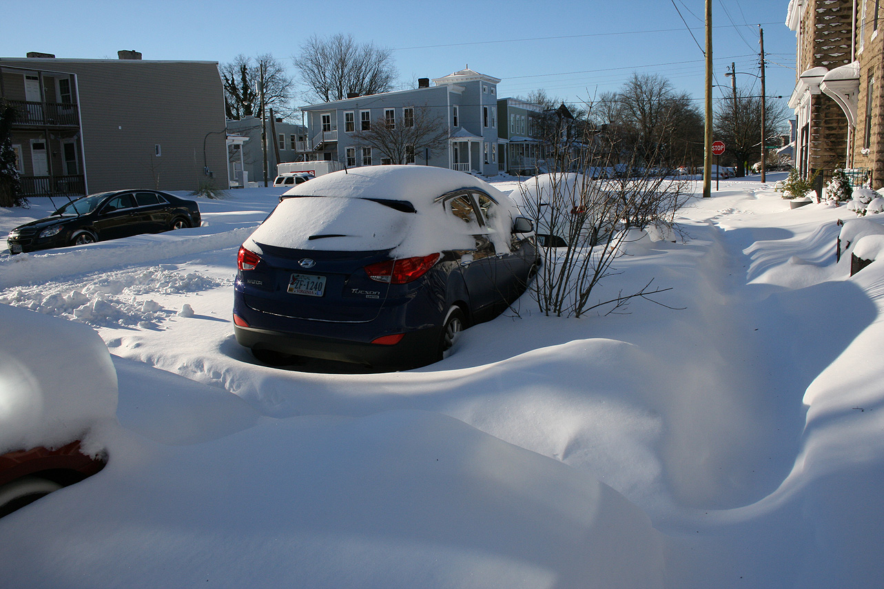
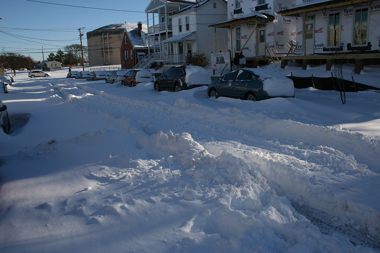
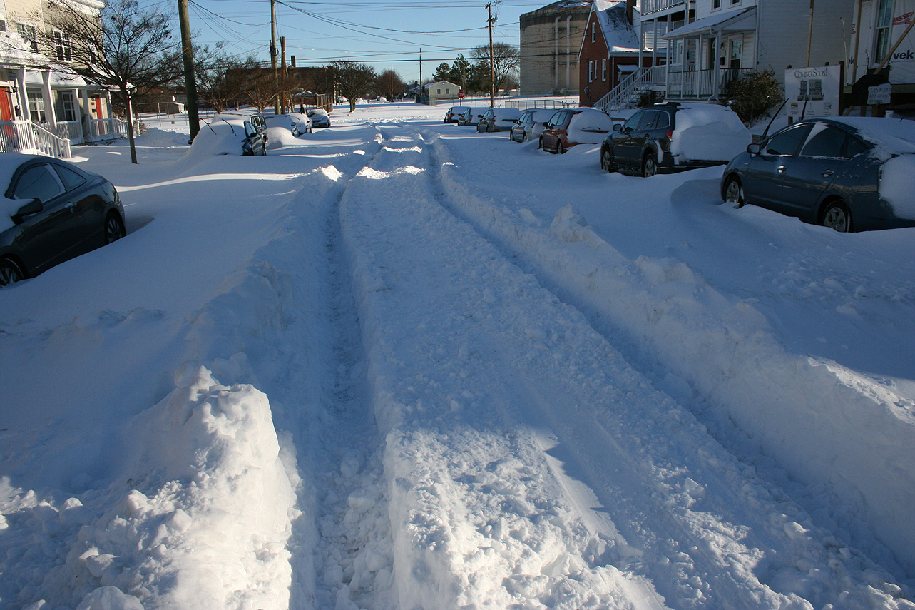
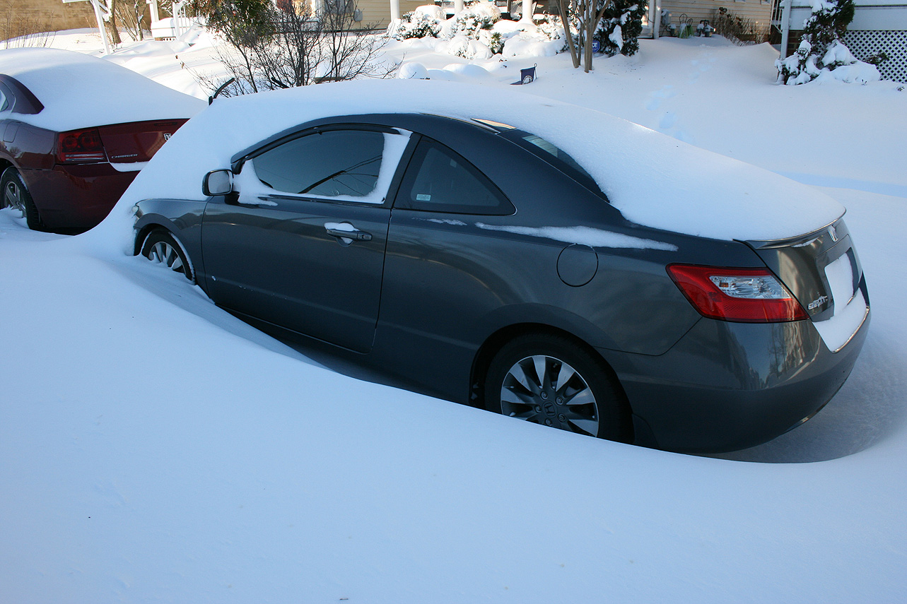
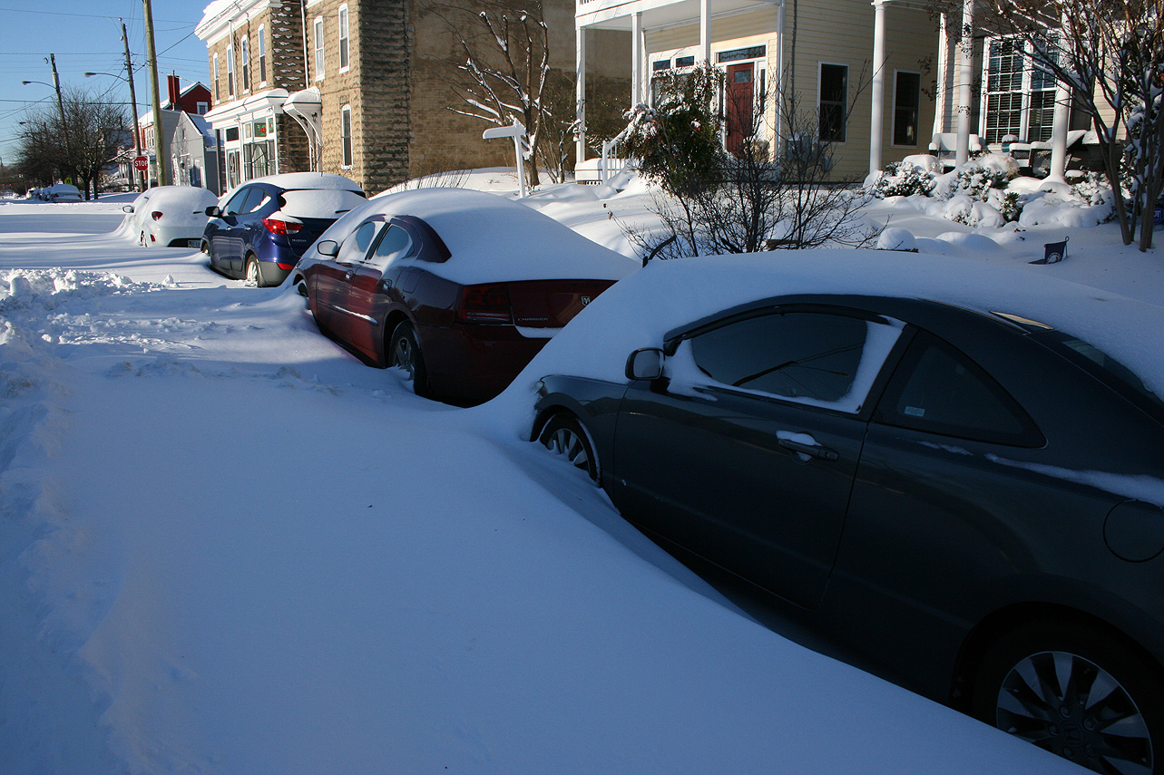
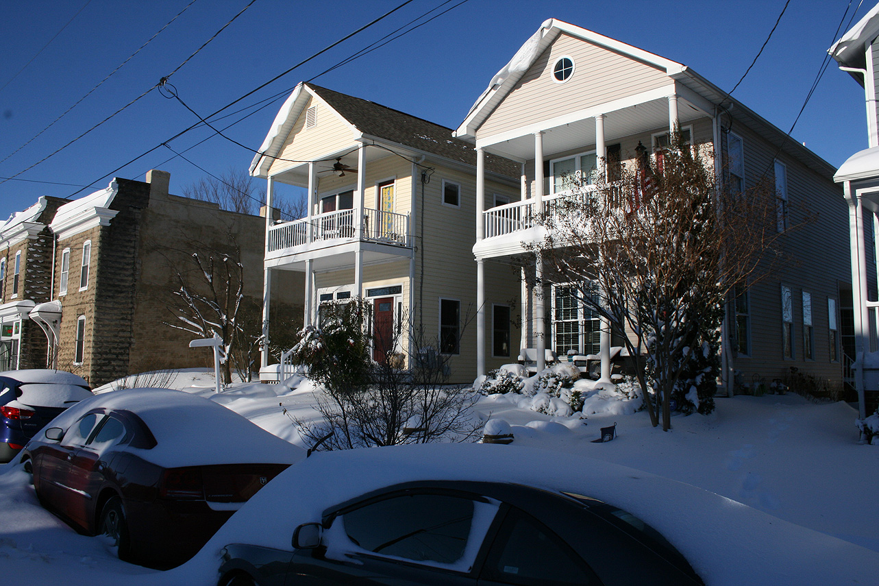
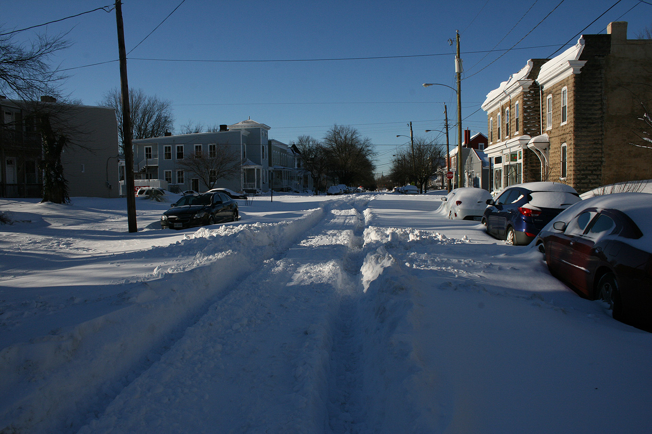
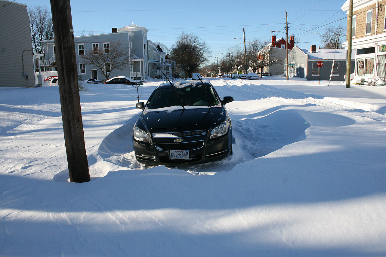
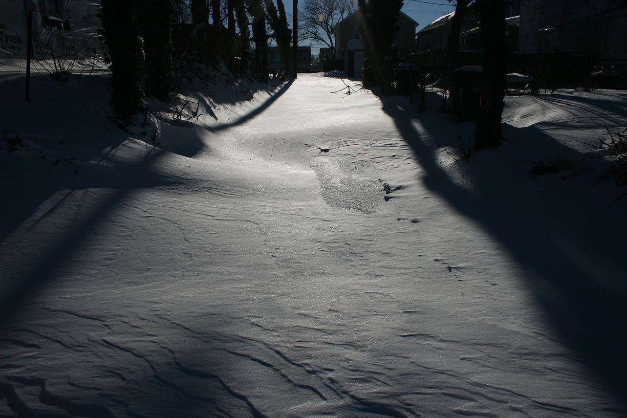
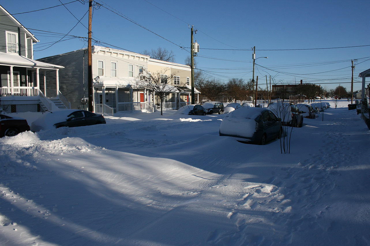
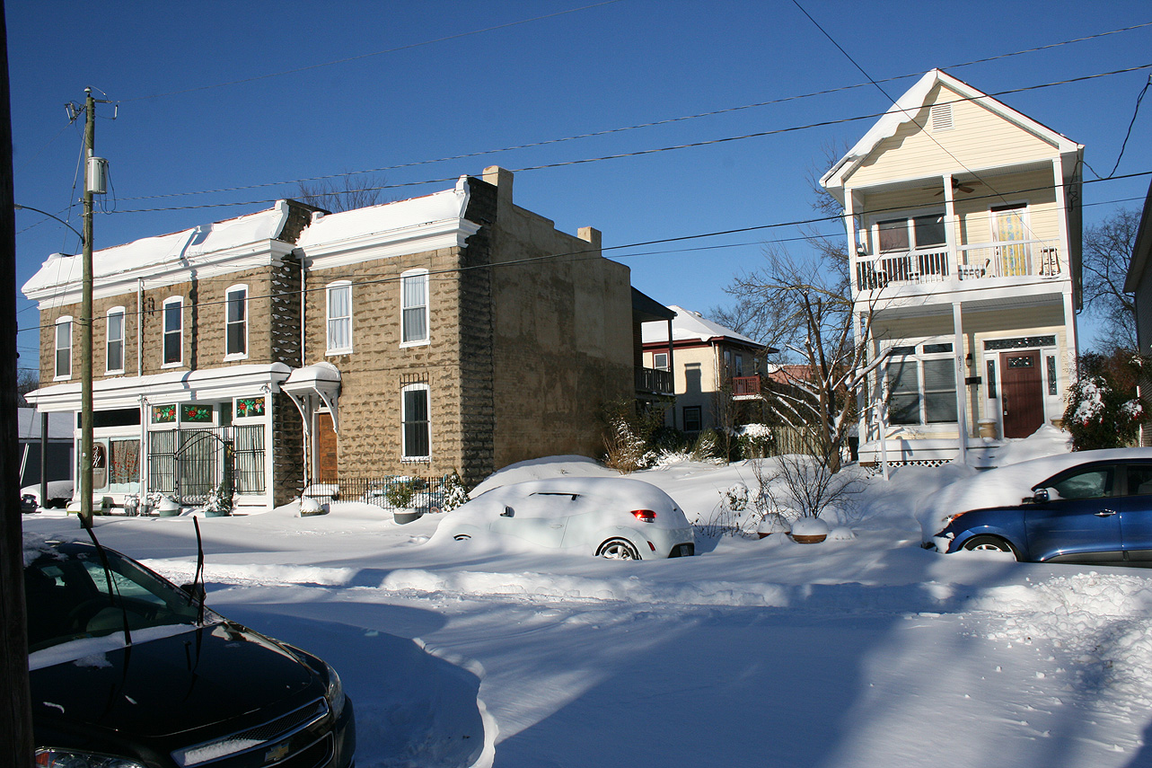
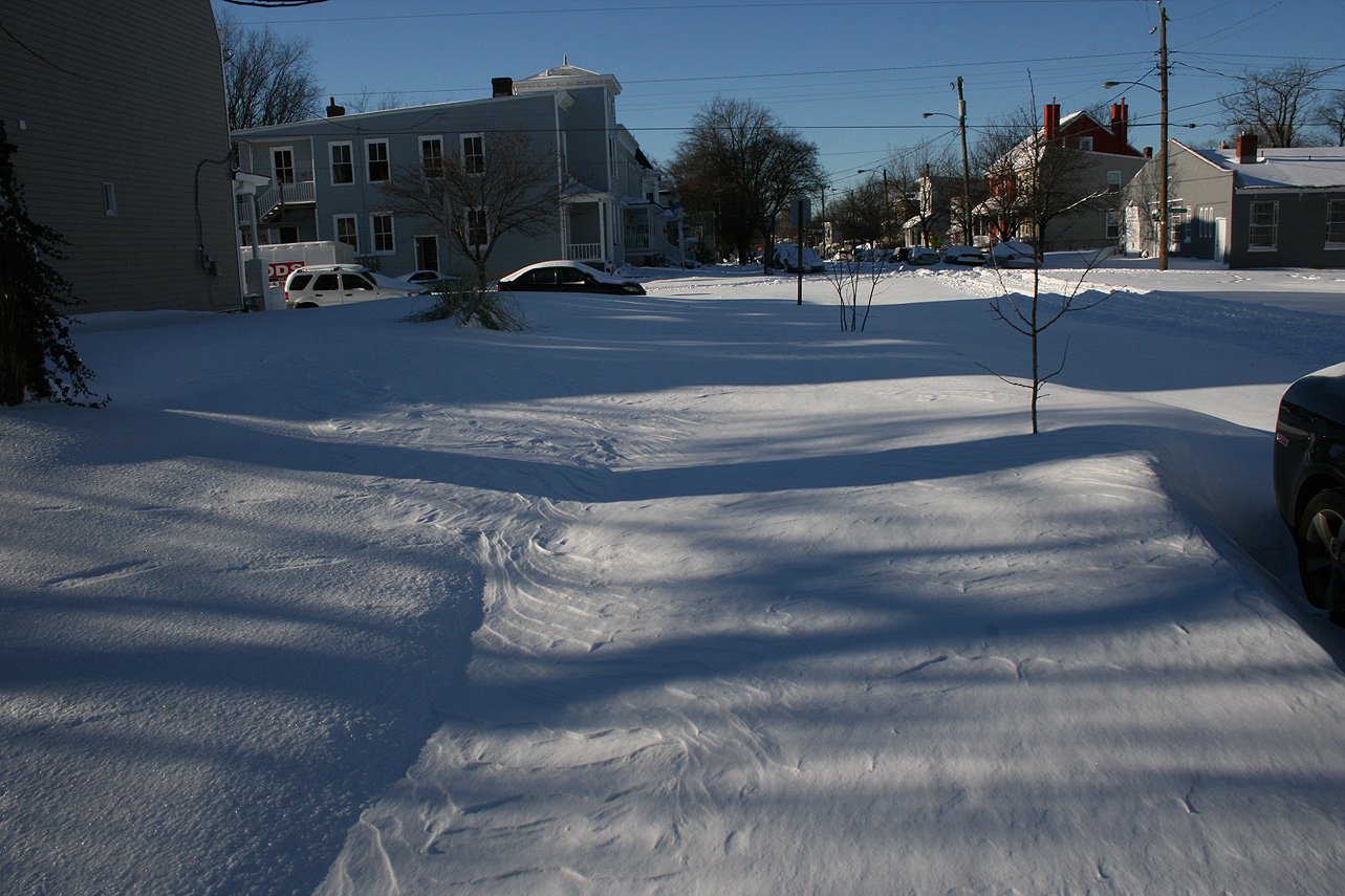
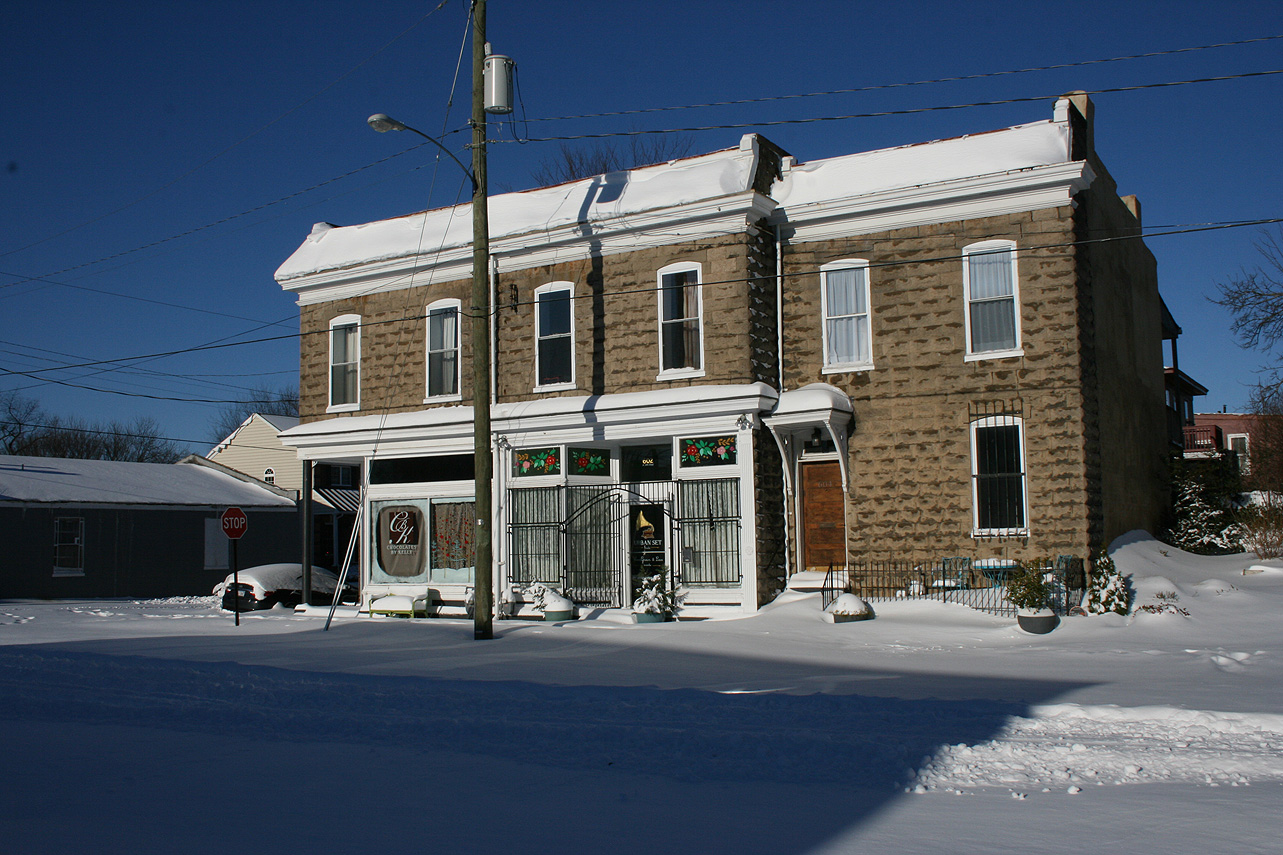
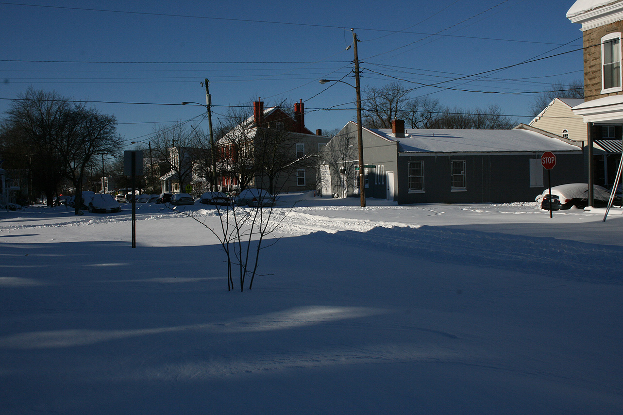
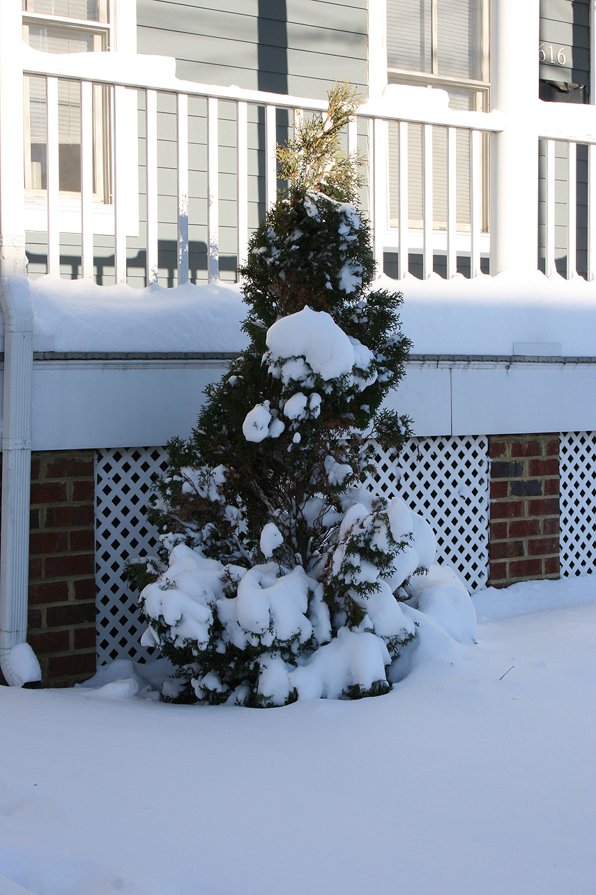
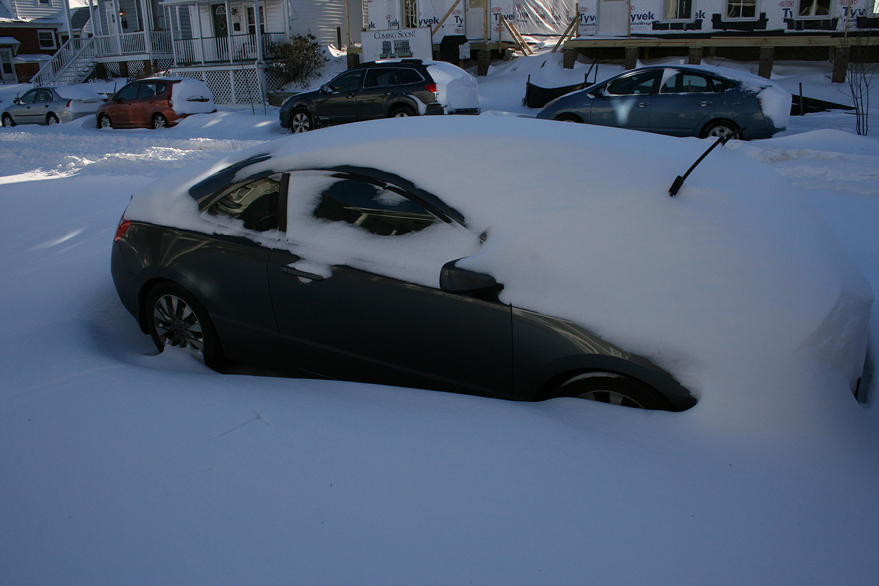
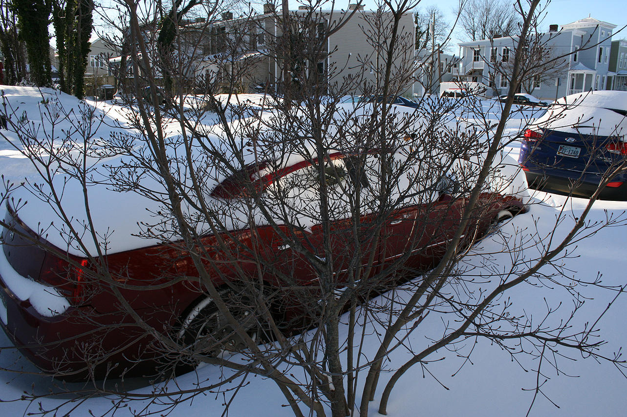
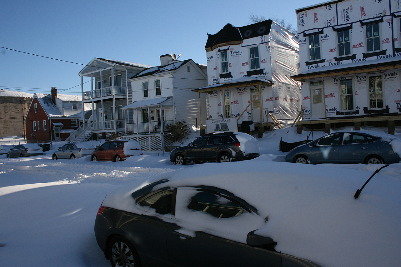
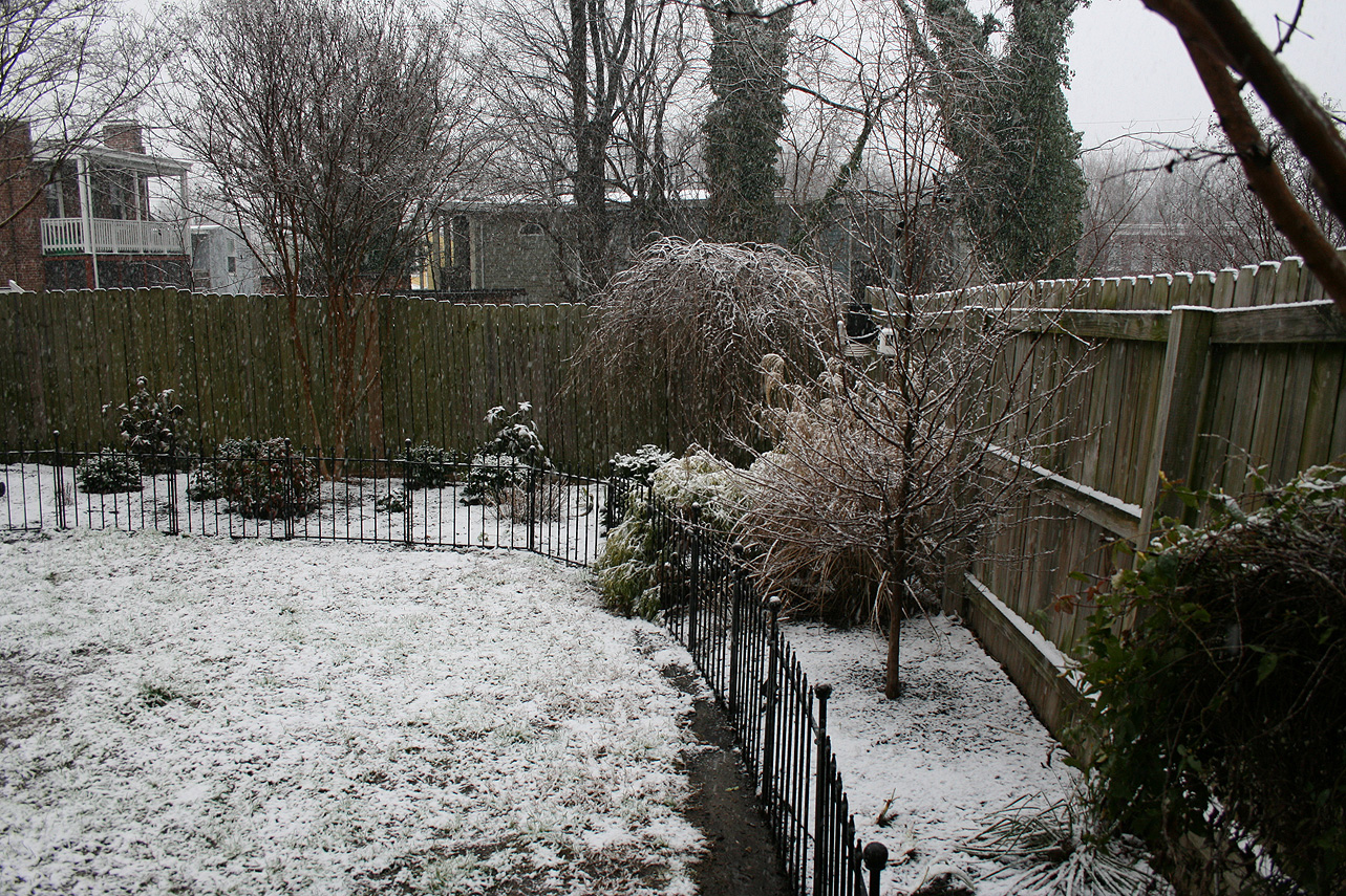
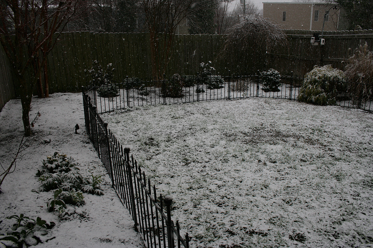
Church Hill Storm Observation Summary:
* Place – Time: Church Hill, (1/22 – 1/23/2016)
* Temperature: 26-28, During Event
* Winter Weather Watch/Warning/Advisory: Watch & Warning
* Closings: All local school districts were closed on 1/22, 1-25 thru 1/27, Chesterfield County Government was closed on 1/22 & 1/25-26.
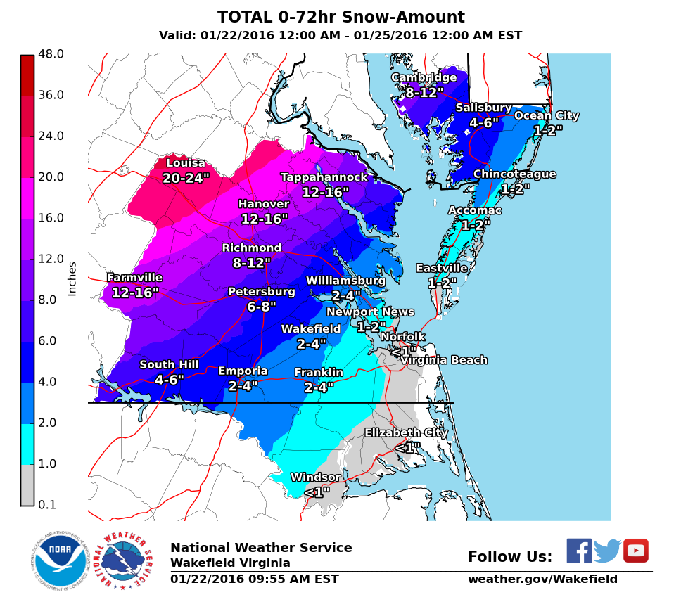
* Predicted Totals: Between 7-14″ before and the morning of the storm.
* Road Conditions: All roads had substantial snow and ice accumulation on them.
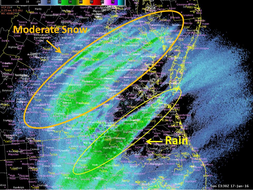
* Precipitation Description: Snow and sleet. Snow began around 9:30 AM to 10:00 AM on 1/22. Snow transitioned to sleet around 5:30-6 PM on 1/22. Snow began once again around 7 AM on 1/23.
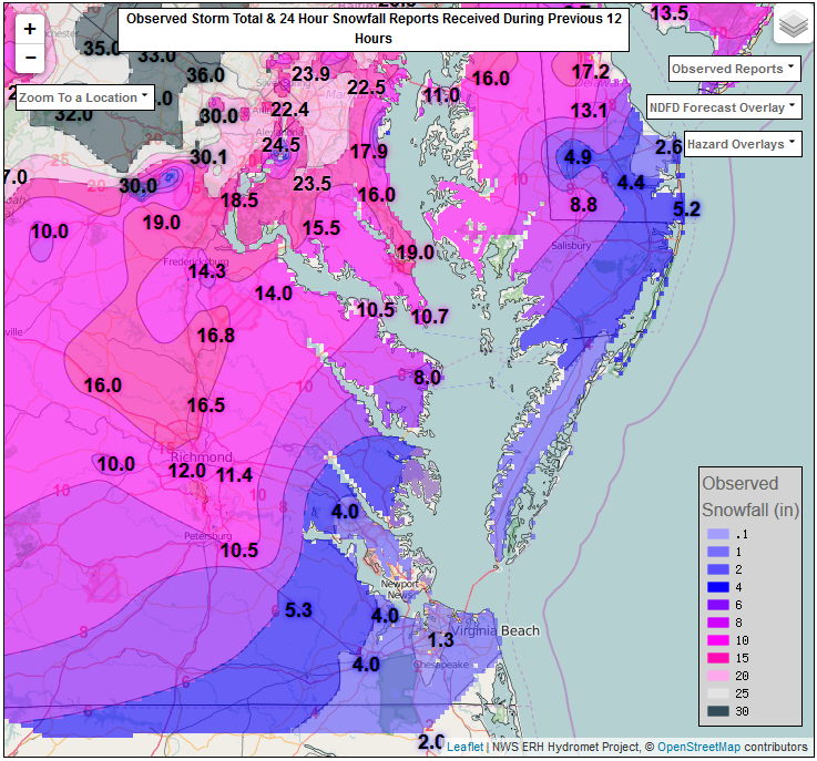
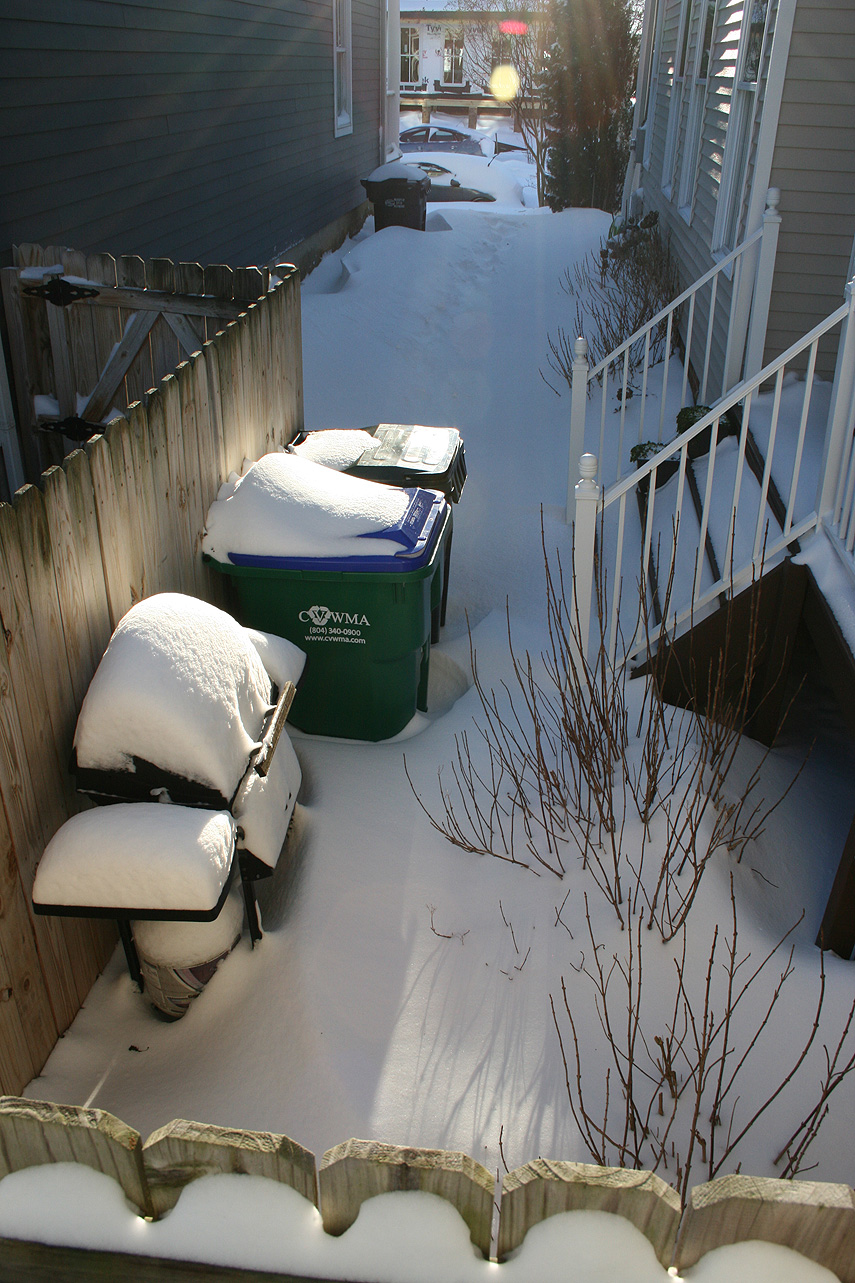
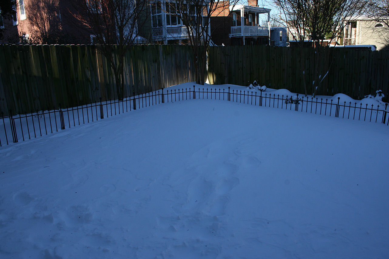
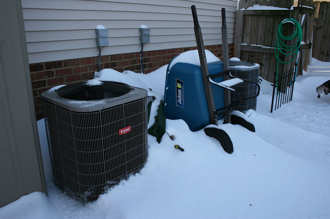
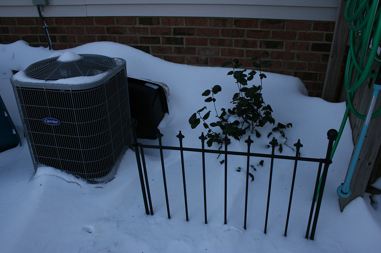
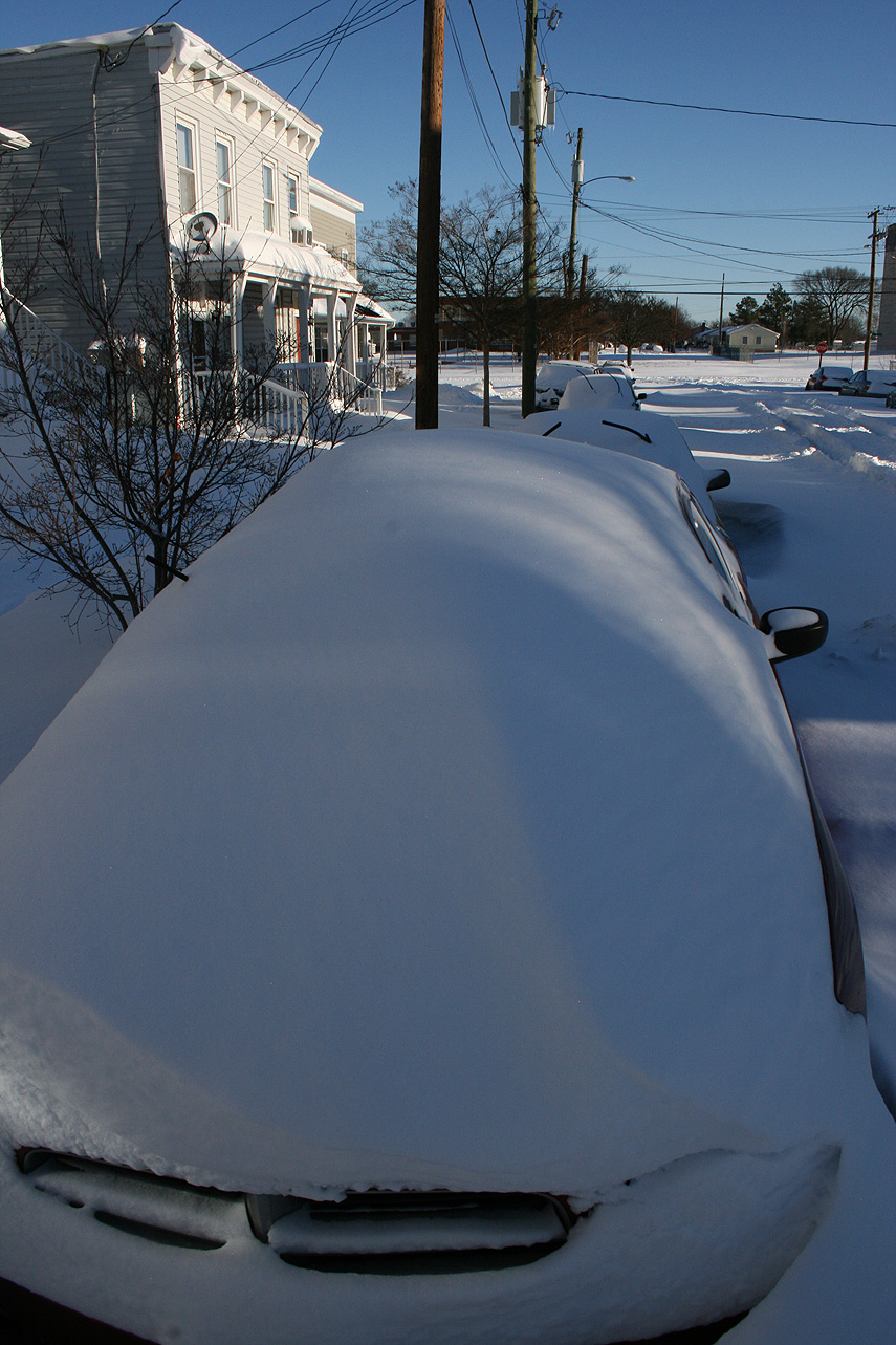
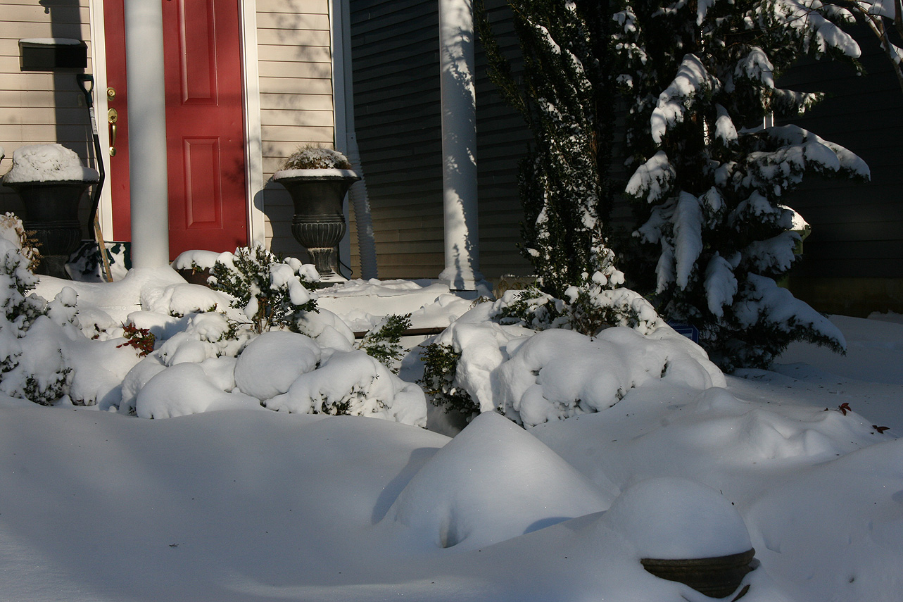
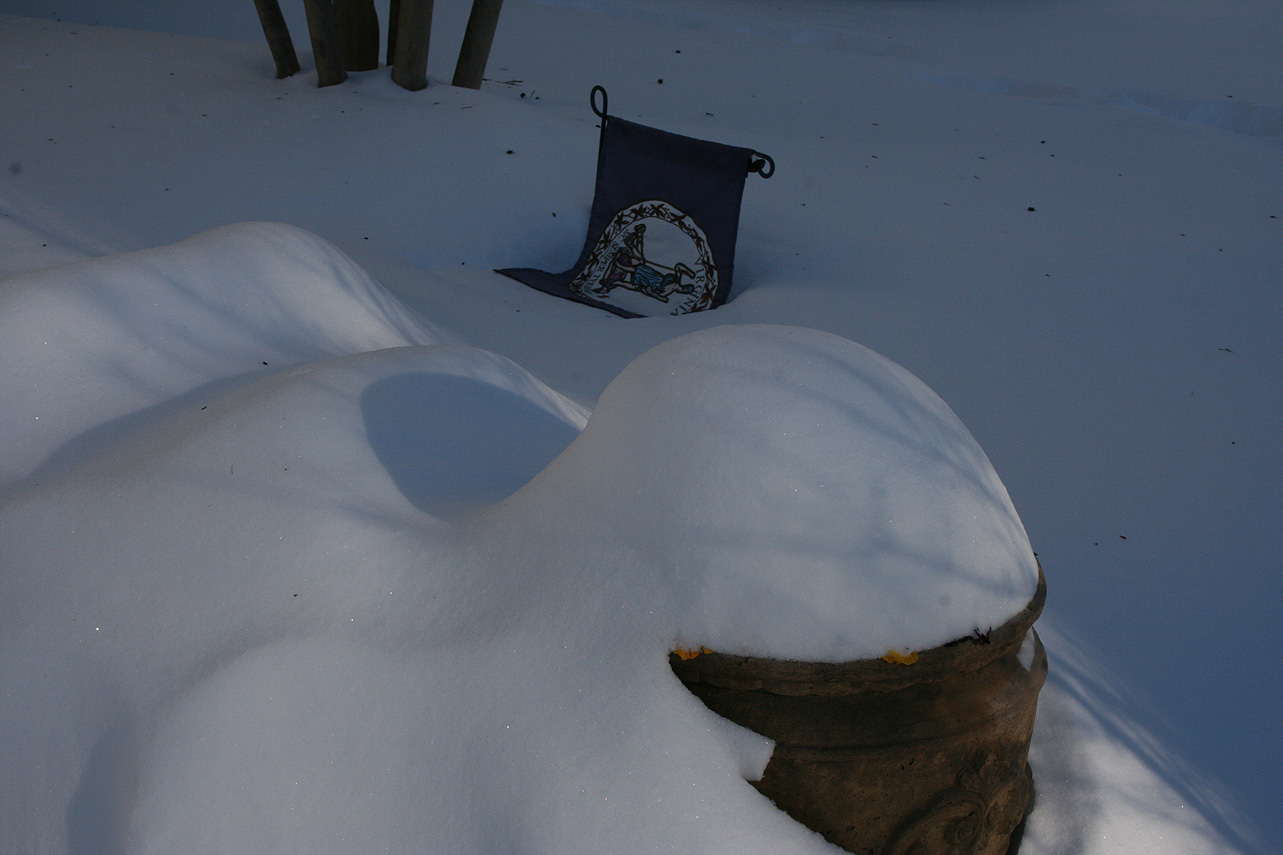
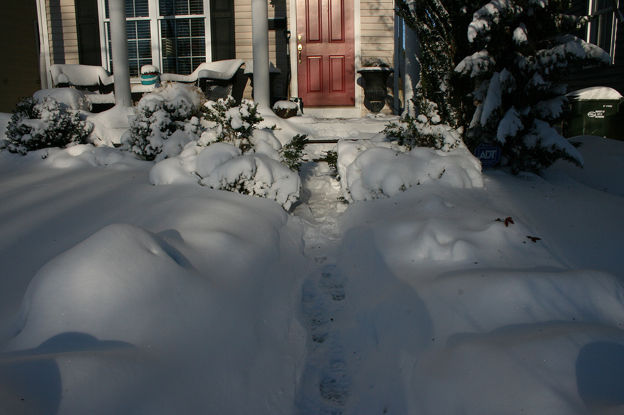
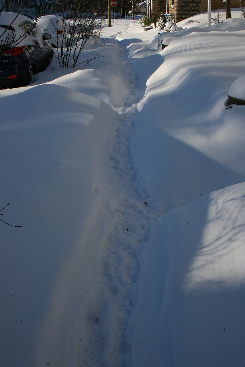
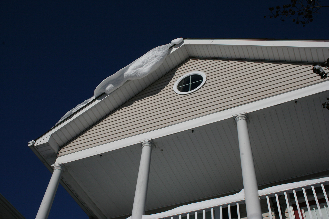
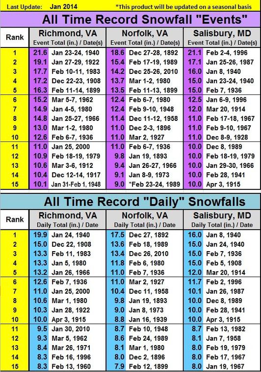
* Total Precipitation: 12.5″ of snow and sleet (5″ snow to 1.5″ of sleet to 6″ of snow). Measurements ranged from 10-18″ around the block. High winds caused drifting, with snow banks between 2-3′ tall. Sleet provided compaction to the snow depth. 11.4″ of snow was reported at the Richmond airport. This was the 11th highest storm total at the Richmond airport.Locally heavier snow to the north of Richmond.
* Comments: A complex storm system tracked across the country, including a multi-phased low-pressure system that transitioned to a low-pressure system off the North Carolina coast. The low-pressure system then tracked north to the Chesapeake Bay, causing snow in Central Virginia (and as far west as Lynchburg & Charlottesville) to transition to sleet. Heavy sleet and a dry slot occurred the night of 1/22 into 1/23. The morning of 1/23, precipitation redeveloped along a deformation band stretching along I-95 from NC to Washington DC. The snow fell moderate to heavy from 11 AM to 6 PM. Wind gusts from 30-45 MPH (43 MPH at the airport) caused near blizzard conditions during the afternoon. Snow tapered off by 10 PM on 1/23.
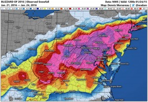
Snow impacted Arkansas up to southern New England. This storm was known as “Jonas” by TWC and the Blizzard of 2016 in other news outlets. Impacts in DC to NYC were extreme, where totals exceeded 2′ of snow.
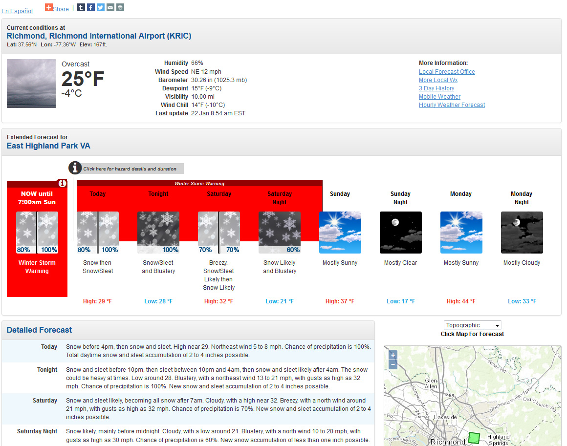
A major storm in now on it’s way with the expected development of a coastal low off the Carolina coast later today, impacting the area from Friday morning into Saturday night. The system is expected to bring period of heavy snow, sleet and possibly freezing rain to Richmond. Models latched on to a storm threat since last weekend (January 16th-17th) and have continually shown a winter storm that will impact most of Virginia and a good portion of the Mid-Atlantic, Ohio Valley and North East. Snow totals to the north and west of Richmond are expected to exceed 2′ in spots. The storm is taking on characteristics (intensity and snowfall) of the Snowmaggedon (2/2010) and 96′ Blizzard. Snow totals in Richmond will be highly dependent on the amount of sleet that falls Saturday night. Models have varied snow from 5-6″ upwards of 20-24″.
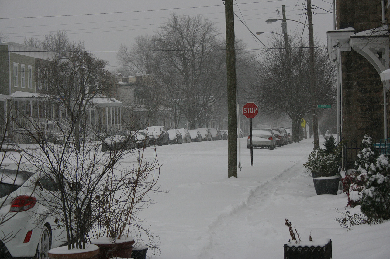
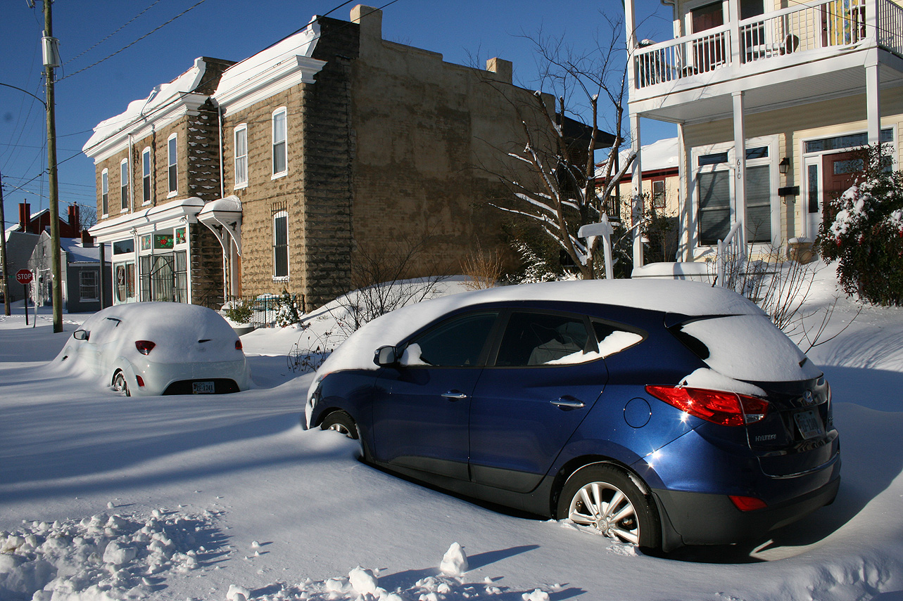
Church Hill Storm Observation Summary:
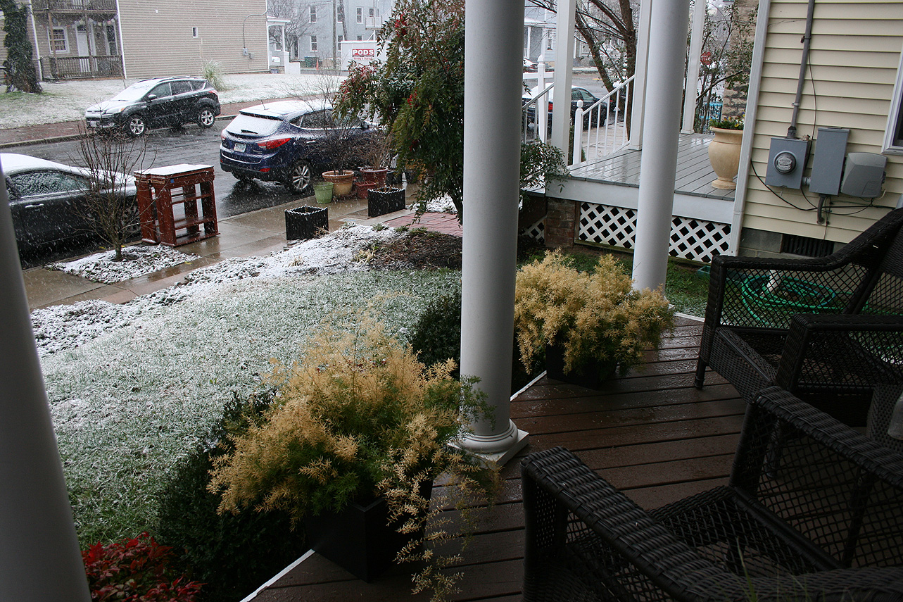
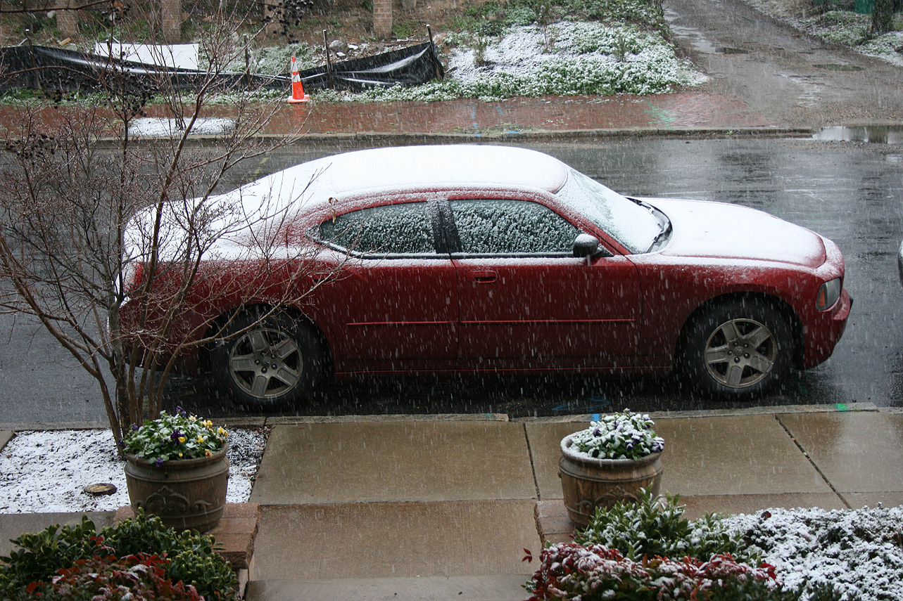
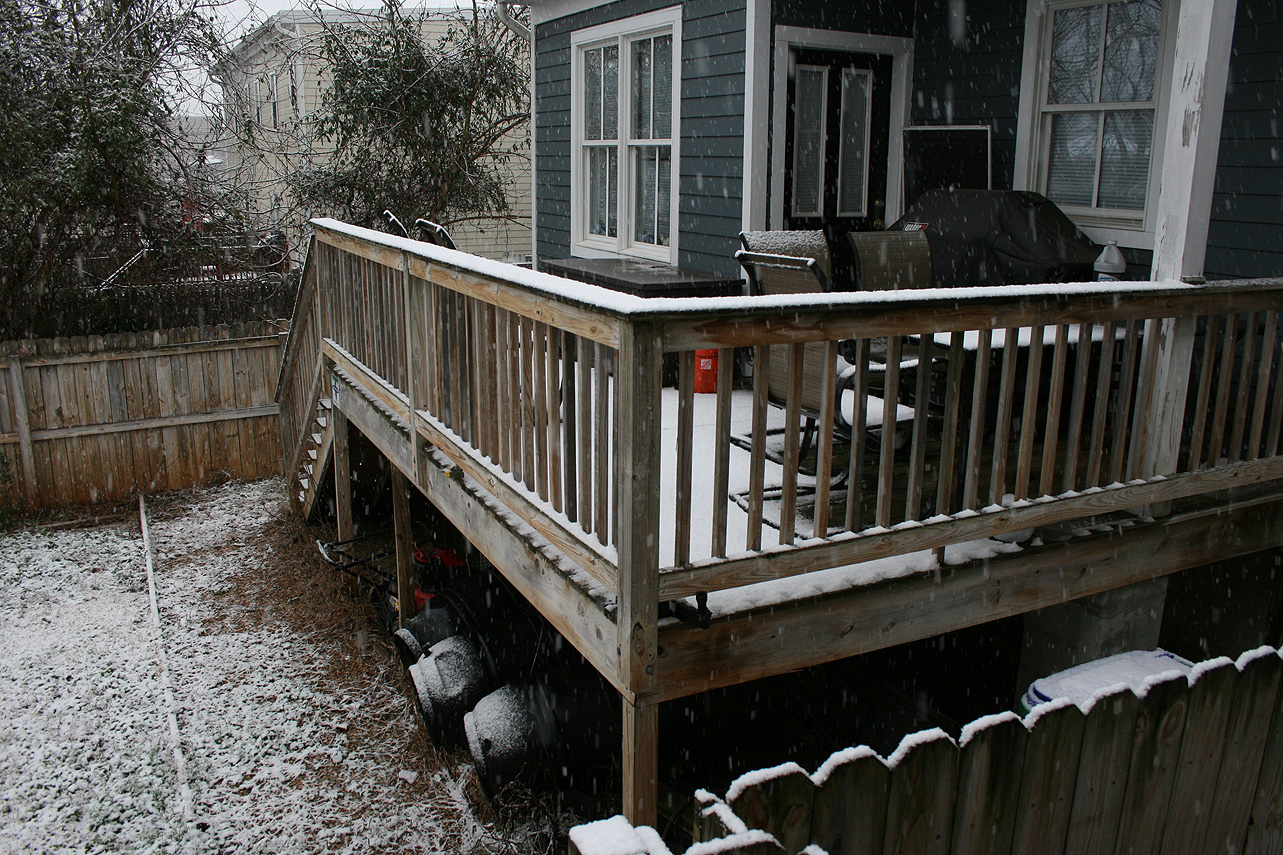
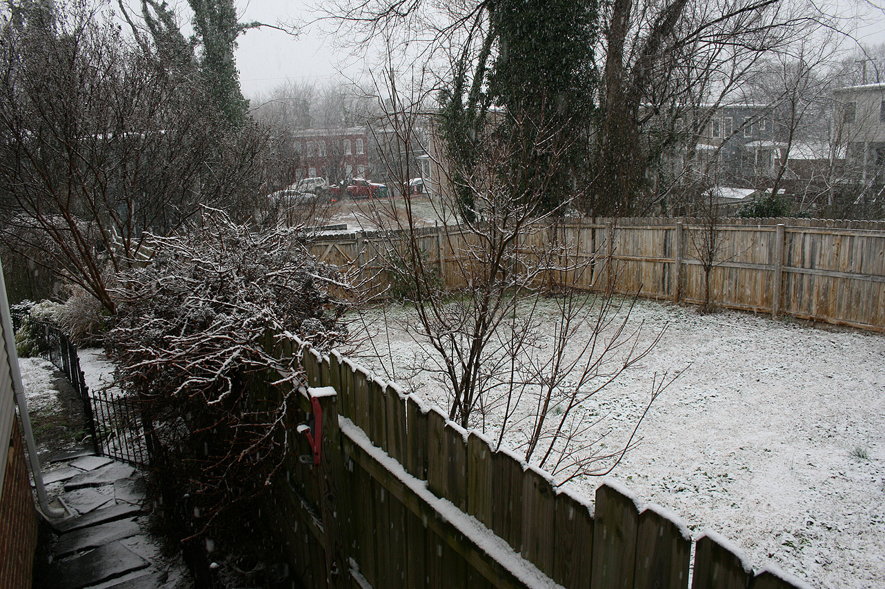
* Place – Time: Church Hill, (1/17/2016)
* Temperature: 33-35, During Event
* Winter Weather Watch/Warning/Advisory: None
* Closings: N/A (Sunday Event)
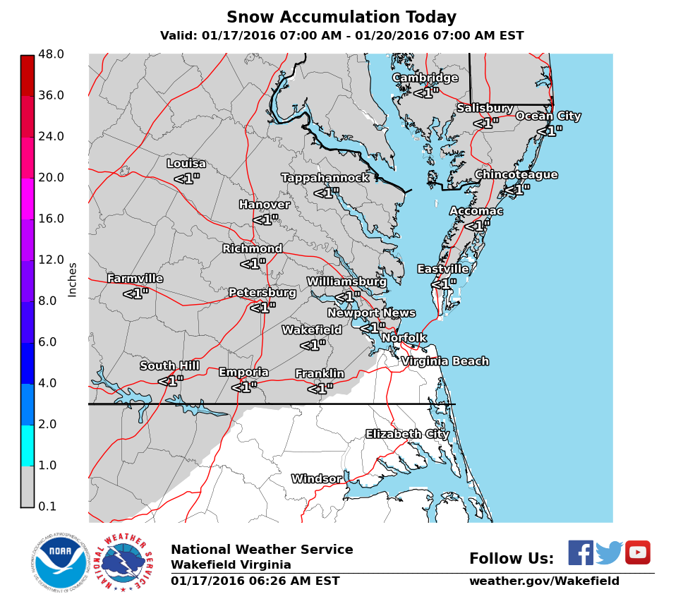
* Predicted Totals: Dusting to 1″.
* Road Conditions: Minor snow accumulations on pavement, mostly clear roads.
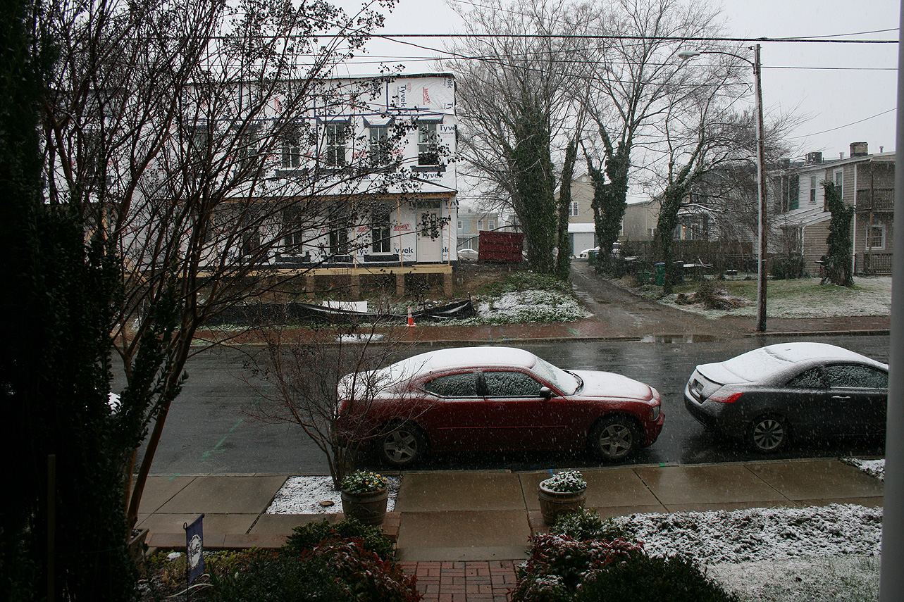
* Precipitation Description: Snow, which began at 8:00 AM and ended around 1:30 PM.
* Total Precipitation: 1.125″ of snow. 0.7″ of snow was reported at the Richmond airport. Totals higher to the east and north of Richmond.
* Comments: A low pressure system developed along the gulf coast and subsequently redeveloped off the Carolina coast. Snowfall came down at light to moderate rates during the morning hours.
The first freezing temperature for the fall of 2015 occurred on November 15 (30 in Richmond). Due to ongoing problems with my weather machine, no reliable data is available for Church Hill.
Current & Historical Weather Events in Richmond, Virginia